
Date: 8/8/2026
Trip leader: Elias Dunstone
Party: Kevin Chan, Ben Belsten
After running a rather unsuccessful narrow neck passes trip in June, where we were bushbashing through very dense scrub for a dishearteningly long time only to discover that we couldn’t ascend the pass we were looking for, I knew I had to come back for redemption. So, me and Ben (who was also very keen for narrow neck pt.2) picked a weekend, and I asked a few people if they’d be interested, eventually settling the night before on a group of 3; me, Ben and Kevin.

So, after a few hours of sleep, we all met on the BMT around 5.30, and formed a concrete plan of what passes we would be doing, being Dickson’s ladders, Diamond head, Redledge pass, Rockpile pass, Mitchells creek pass and Black billy head, with the possibility of continuing down Carlon’s head. We got off at Katoomba at 7.24, quickly shedding our jackets as we headed down towards the start of Glenraphael drive, stopping briefly for supplies at woolies, and to fill up water at a park. We quickly got down to the turnoff to Dickson’s ladders, and then began by descending a handline down a concrete slope before following the old pipe down a narrow slot in the cliffs.


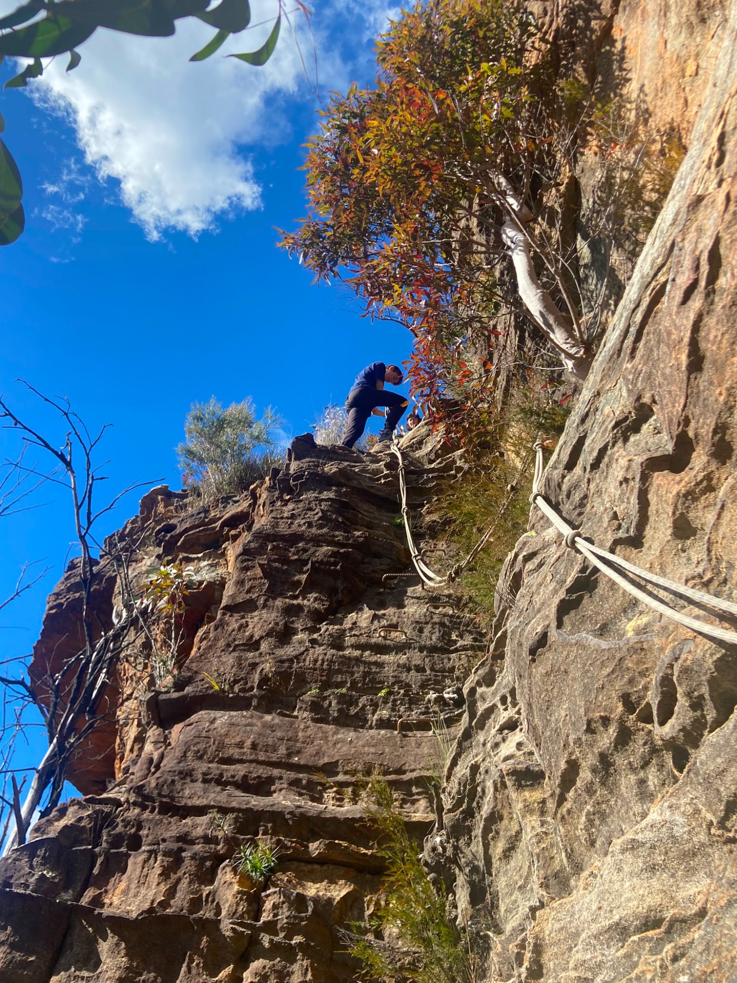
There was one small fence to climb over, and then an easy scramble down to the first rope ladder, which was a bit awkward due to it being in the narrow slot and swinging around a bit. We then descended down 2 very stable feeling (albeit rusty) ladders, with a less stable feeling rope ladder at the bottom. These ladders descend maybe 10-15 metres. This was a very cool pass, definitely a highlight of the trip.


We then made our way down to Waterboard road with some slight navigational confusion (intentional actually, as practice for later bushbashing). We continued downhill to the supposed old tramway, where we turned off back towards Narrow neck, following a gpx line from someone else’s trip. The tramway seemed to intermittently pop in and out of existence somewhat annoyingly, but luckily the scrub wasn’t too bad, the terrain was flat, and we’d all brought gloves to protect our hands. Eventually we reached the point where the gpx veered off to ascend around 300m to the cliffbase. We found ourselves a ridge to follow, and pushed up the progressively steeper hill, stopping briefly to give our calves a rest. We eventually reached the end (kinda) of this gruelling climb, at the base of the first line of cliffs. We continued to follow the gpx up some easy scrambles, getting around to Diamond head itself, which offered some great views back over Megalong valley, and some more exposed climbs up the cliffs.


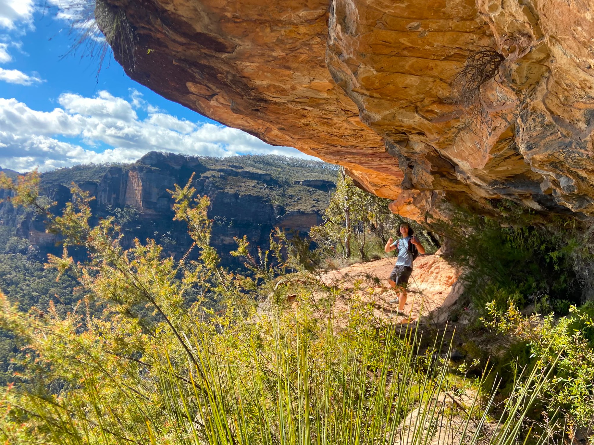
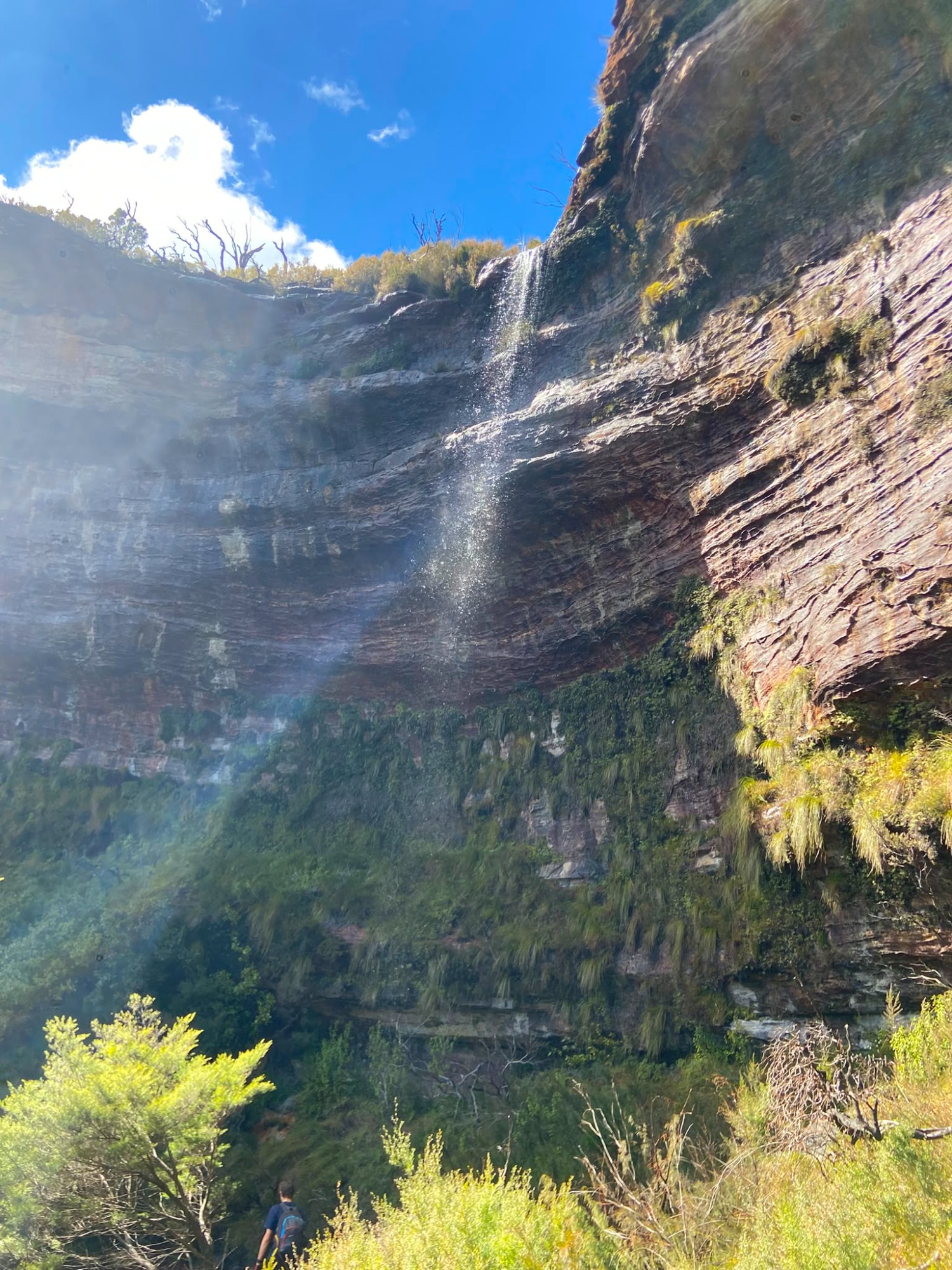
This brought us up below the much bigger upper cliffline, where we started to follow the ledges around to the north towards the rest of the pass. Following these cliff ledges around was very enjoyable, as we had views over the cliff faces and the valley below. We spotted some people a fair way further around the cliffs, and Ben did some cooees to try (unsuccessfully) to get their attention. The echoes around these cliffs were incredible, bouncing around for a few seconds. We made our way along more shale-y ledges and below some waterfalls before reaching a sport climbing area, which is where the people we saw earlier were climbing.


We stopped here briefly to watch the climbers and attempt some bouldering ourselves, and then continued along a much better formed climbers track up the cliffline and back to the firetrail, coming out near the locked gate. We continued down to the turnoff to Redledge pass (which I managed to miss… again) and quickly made it down to Lizard falls, then followed our path from the last trip across to the red ledges. I wrote in the log book and we headed on to find a good spot for lunch, admiring an abseil accessible cave to the north. It was at this point that I made the major error which took us so far off course last time, so I was cautious in ensuring we went the right way. Sticking to the highest ledge, we found ourselves above the landslide which we had previously walked across, a good sign that we were on the right ledge. We soon found a nice ledge for lunch, looking out over Megalong valley.

After lunch, we continued following the ledge around to Rockpile pass. Reaching the rockpile in question was quite an emotional experience, after how close we’d come last time before admitting defeat. After an obligatory trip up and down the rockpile (which can in fact be skipped with some climbing skills), we continued along the cliffs to a climbers pass (often called fake rockpile pass due to people confusing the two), which we also went up and down. The anchors for these handlines had melted chunks of rope still stuck on from the 2019-2020 fires.

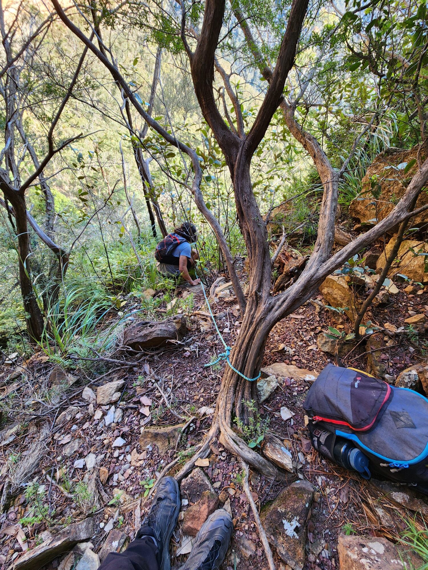
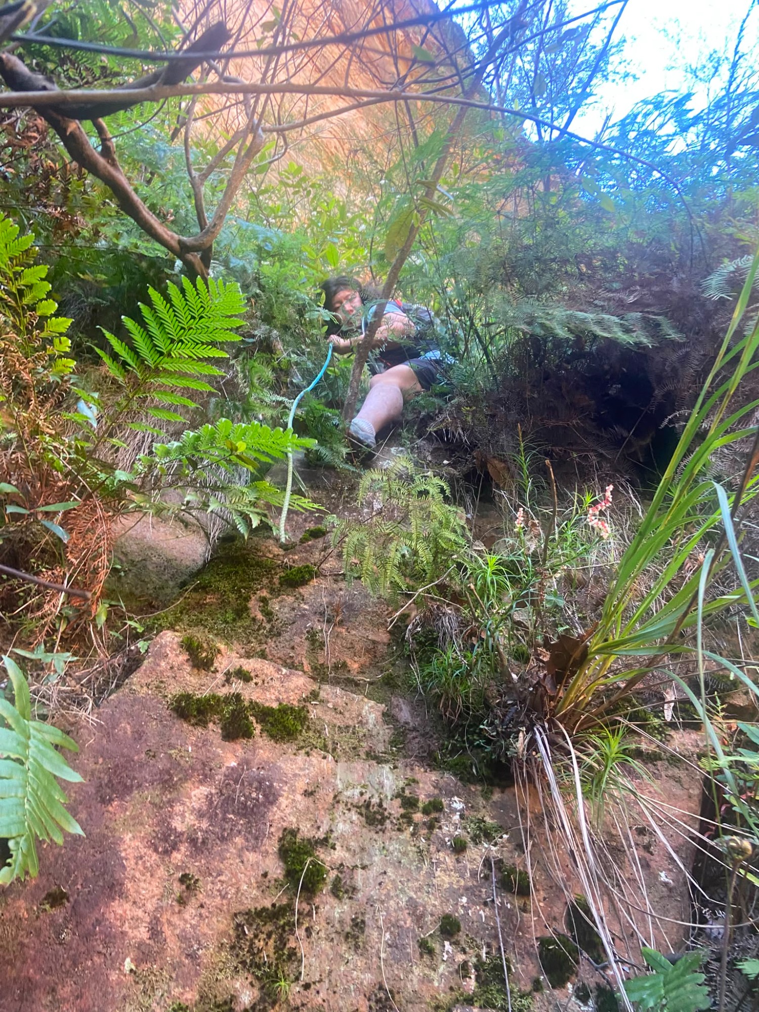
Based on past trip reports, we had to drop down into the valley for the traverse to Mitchell’s creek, which was clear after our ledge ran out, with cliffs dropping down to our right. Reaching this point, we turned back to find a route down the cliffs, debating some sketchy looking abseils, and whether we’d need to leave any gear behind for anchors. I was not particularly confident in the safety of my proposed route, and luckily Ben, who was looking at trip report photos, recognised the spot where our ledge ran out. So we headed back to this spot, confirmed that the trees and rocks were indeed the same as the photo, and started scrambling down the cliffs, which were much less sheer than they appeared. We then tied a handline around the same tree as in the photos, which I removed as the last person to downclimb.


The next section of our route followed vaguely along the cliff base, which involved slightly more bushbashing and scrambling than the nice ledges up higher. We also ended up on a higher ledge than intended a couple of times, requiring some sketchy down climbs. All along this section, we were looking out for a fun looking squeeze between 2 big rock slabs, which we had seen on trip reports. We reached it eventually, and it was indeed quite narrow and interesting.

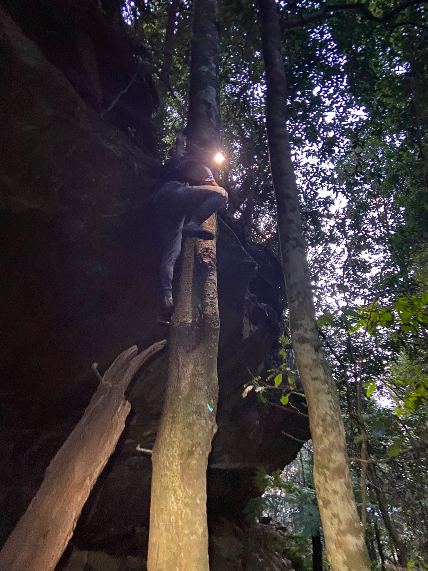
We eventually got to Mitchell’s creek, which was quite beautiful, with some waterfalls and more rainforest-y vegetation. Unfortunately, waterfalls aren’t particularly helpful when one is trying to ascend a creek, and we ended up backtracking to find a way up this line of cliffs. Keeping an eye on our gpx, we reached another waterfall, with a very dodgy looking log leading up across a pool. Thankfully we did not have to ascend the log, and we crossed the log and headed back downstream, turning on our headtorches, as it was quite dark down in the gully. As soon as we crossed the creek, the terrain started looking very similar to photos of the Coachwood tree we had to ascend. Sure enough, I spotted the iron spikes sticking out of the tree, much to our relief, as we didn’t want to be searching for long in the dark.

The climb was fairly easy thanks to all the spikes in the tree, and from here we bushbashed up the slope, along the creek and up a gully to get back to the fire track in the dark. There is an alternative, more interesting looking exit route from Mitchells creek which I may come back to do on a future trip, where we have more sunlight. From here it was an easy 7km of firetrail to get back to the bus stop in Katoomba, which was quite enjoyable.
Having just missed the bus when we got back to Katoomba, we decided to just get an uber back to the main street for dinner. We got into the Cattlefish just before 8pm, where Ben described our hike to the owner, who had done many of the passes before. Somewhat embarrassingly, she said “Oh that would’ve taken you about 6hrs then”. Try 12hrs. We headed to Subway to eat our burgers out of the cold, and since we had 30 minutes until the train, and I’d forgotten to get chips at Cattlefish, we went to the hotel next door to get some. This took much longer than I’d hoped, and we ended up hastily paying and running to the train station with the chips. Very annoyingly, the BMT ended at Blacktown, and there were no trains between Parramatta and Strathfield, meaning we all had to change 2 or 3 times to get home around 11 or 12. We were all very happy with how the trip went, as we did most of what we intended, which was helped by the fact that we had a small, very competent group. Plans for further trips to finish off the rest of the passes are already underway.