Date: 25/4/2024
Trip leader: Bruce Stafford
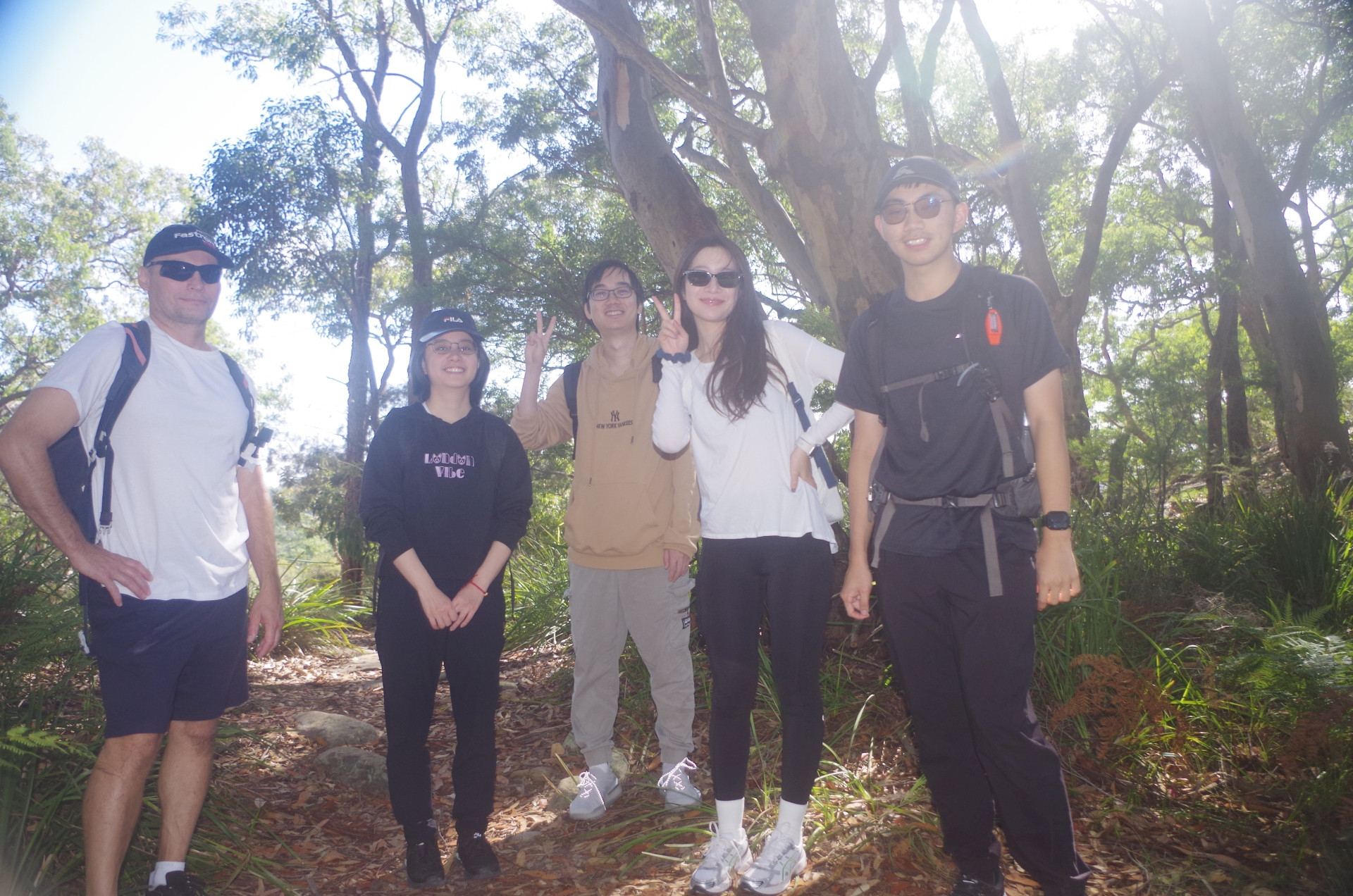
Party: Dimitri, Hanwen, Lei, Minyun, Terry (Wing Chun).
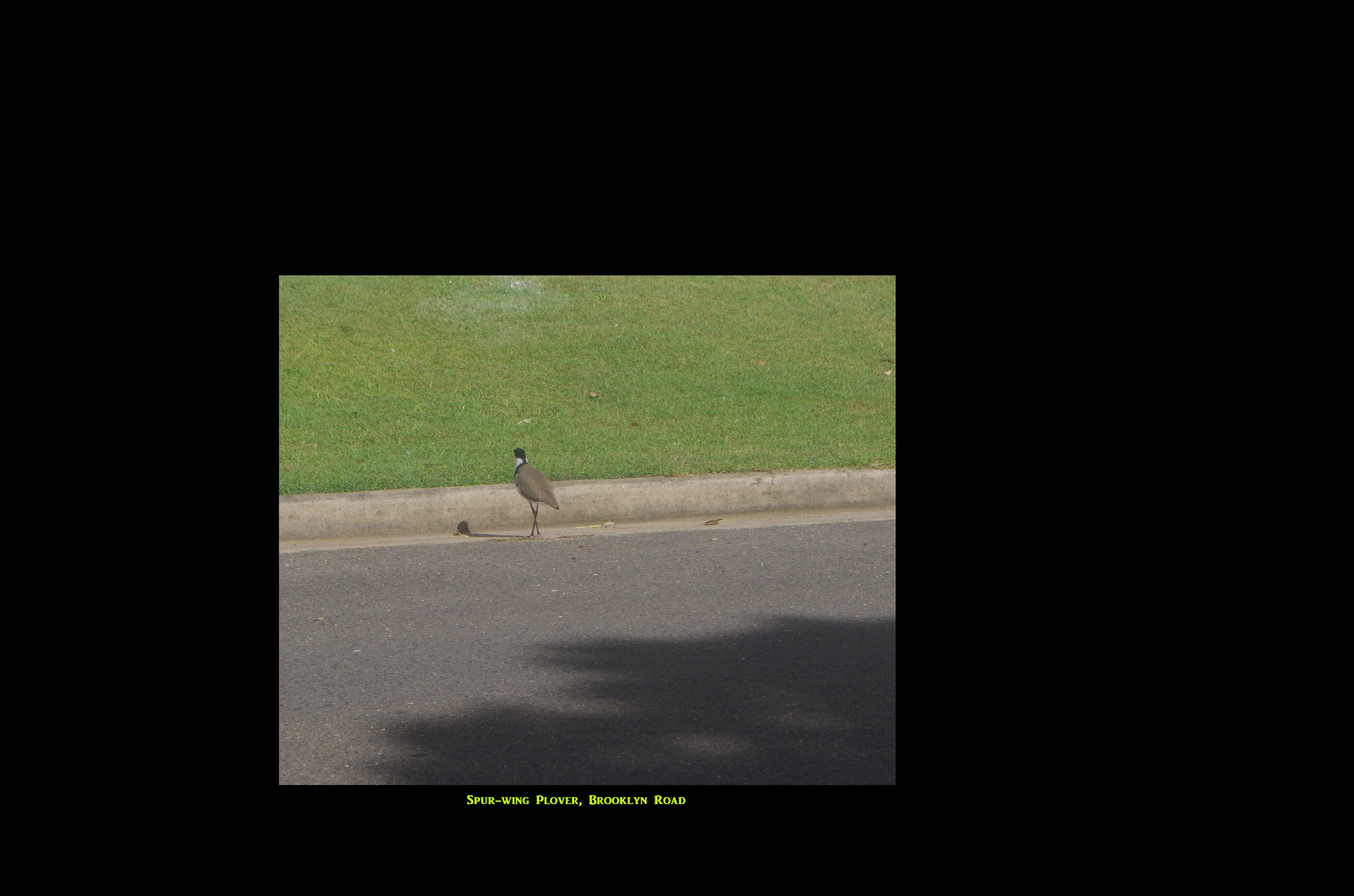
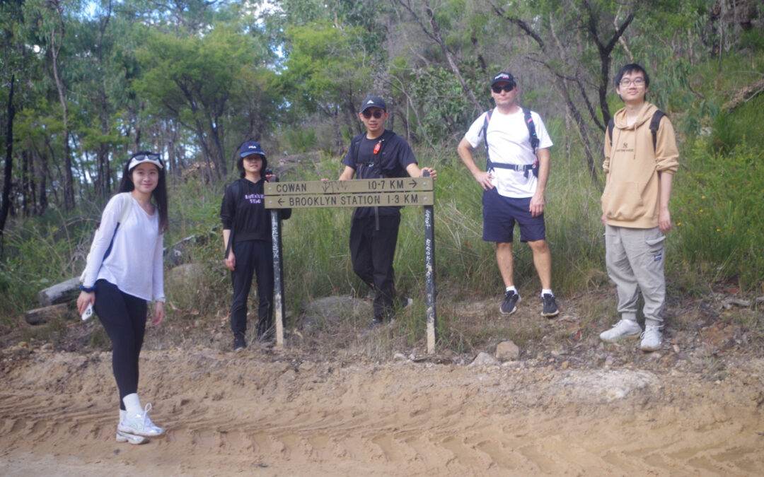
Brooklyn Area walk on ANZAC Day, 25th April 2024.
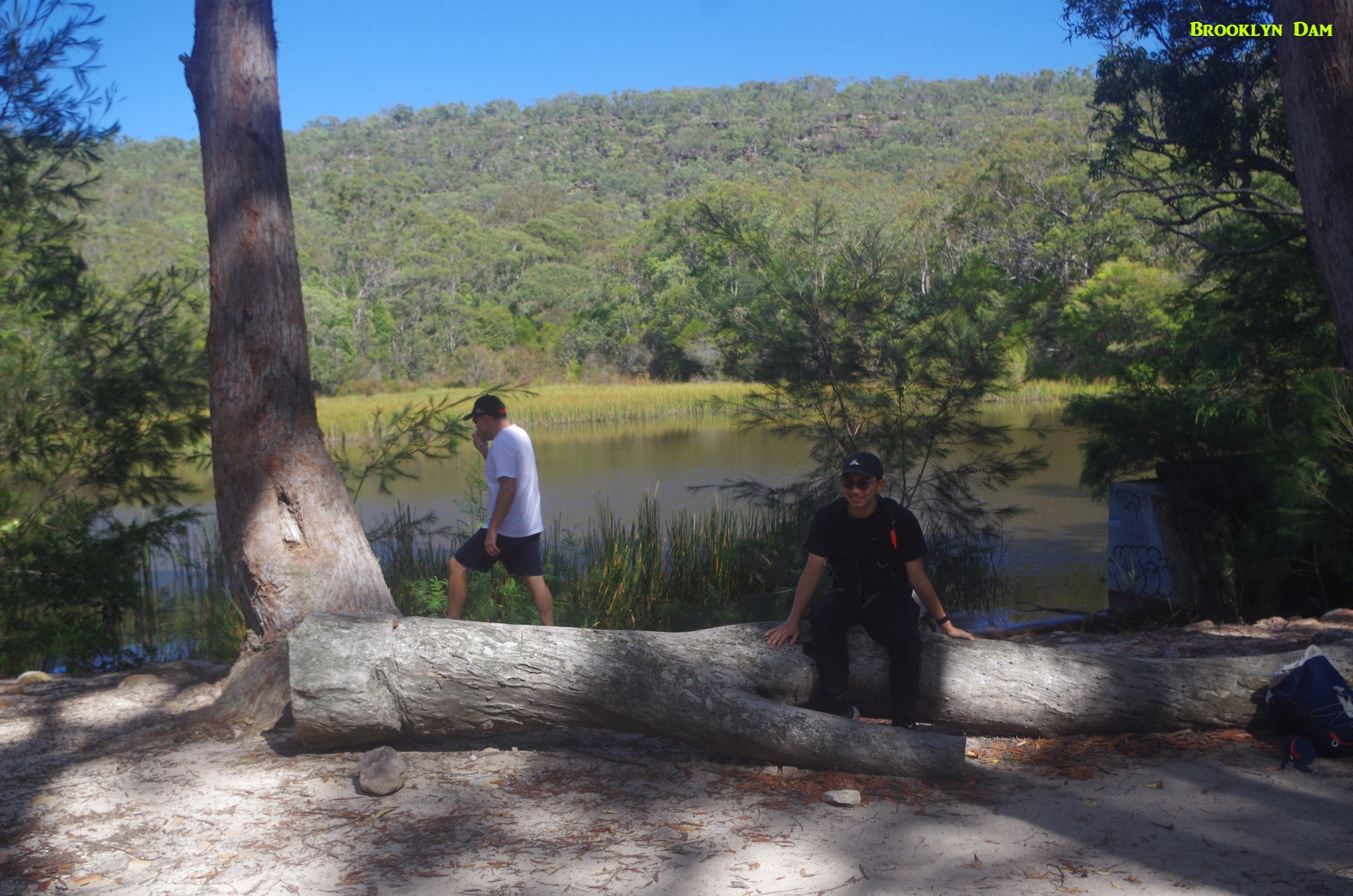
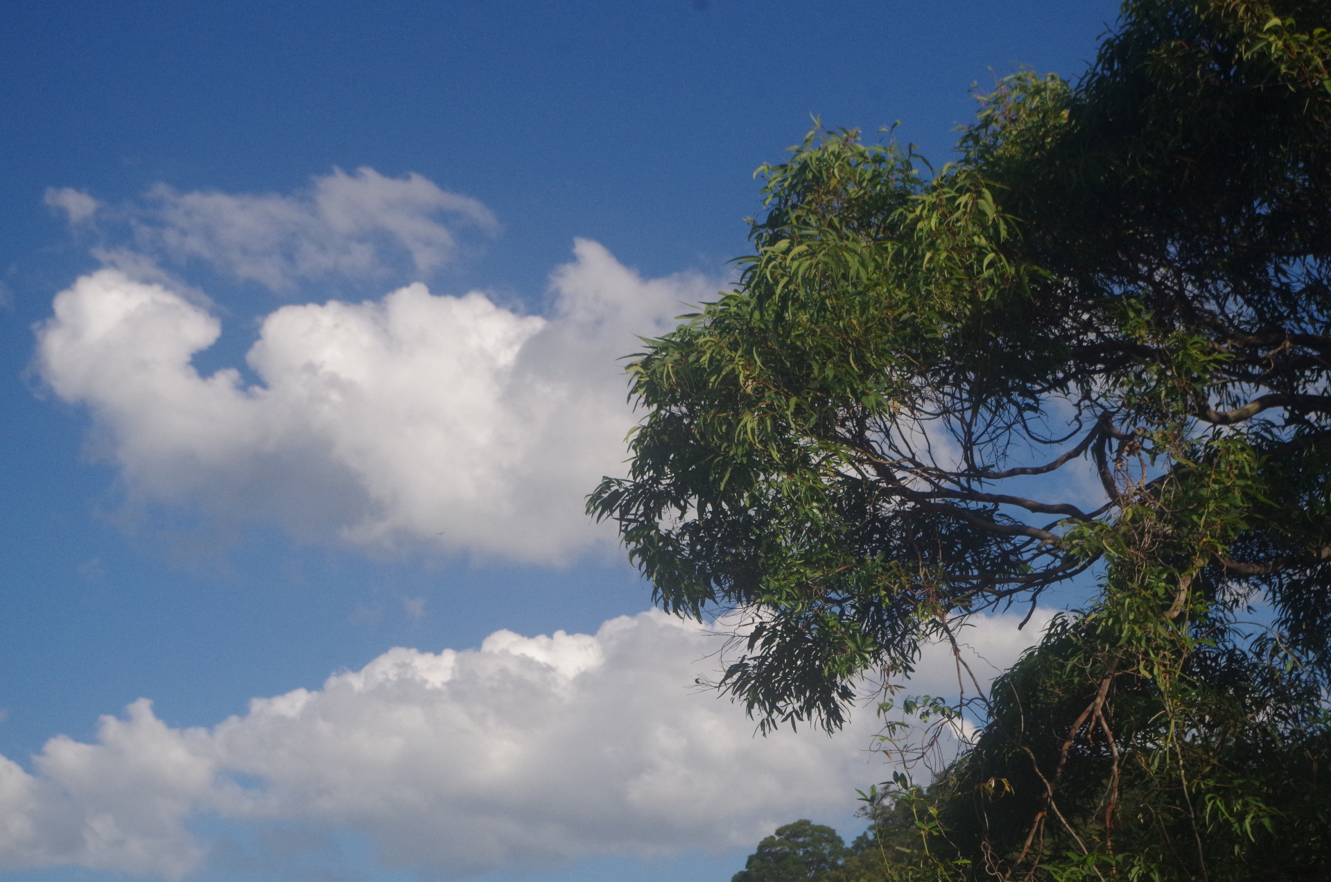
It was a nice day for this walk (or rather a series of three walks), and we all met up at Hawkesbury River Station. A check of names showed that I had one person who initially I thought was a “no show”, but an email she sent at 11.20pm the previous night showed up, stating she was unable to come (more later). So with one other person apologising for sleeping in (slept in long enough to miss two trains!), we six set off for the first walk to Brooklyn Dam. We followed the normal way to get to the Brooklyn end of the Great North Walk (GNW), only to be confronted with a sign stating the track was closed for track widening to make it safer as a fire trail. Another sign however stated that the track was only closed on weekdays, not weekends; as this day was a public holiday it should be OK to use the track. That turned out to be correct as there was no work being carried out this day although we saw a lot of earthwork equipment parked along the track.
The track here starts at the end of William Street and goes up the quite steep concrete roadway sometimes called unofficially the Railcorp road, as they built it to access their railway tunnels further up. It rises from sea level to 100 metres elevation in just 300 metres of track so it’s quite steep. It can also get slippery in wet weather. We needed a water break at the top but at least we got the steepest part of our walks out of the way right at the start. At the break I noticed a track branching off to the left, and as we were not pressed for time I decided we should see where it goes. We had not gone far downhill when Dimitri noticed a small hut further down the hill next to the water’s edge. Now, there are some rather “odd” people living along the water of the Hawkesbury River, and they have their own reasons for living in isolated places, and don’t always welcome strangers. So we decided it was wise to turn around and go back to the Railcorp road.
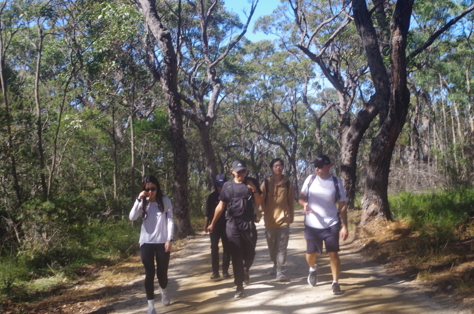
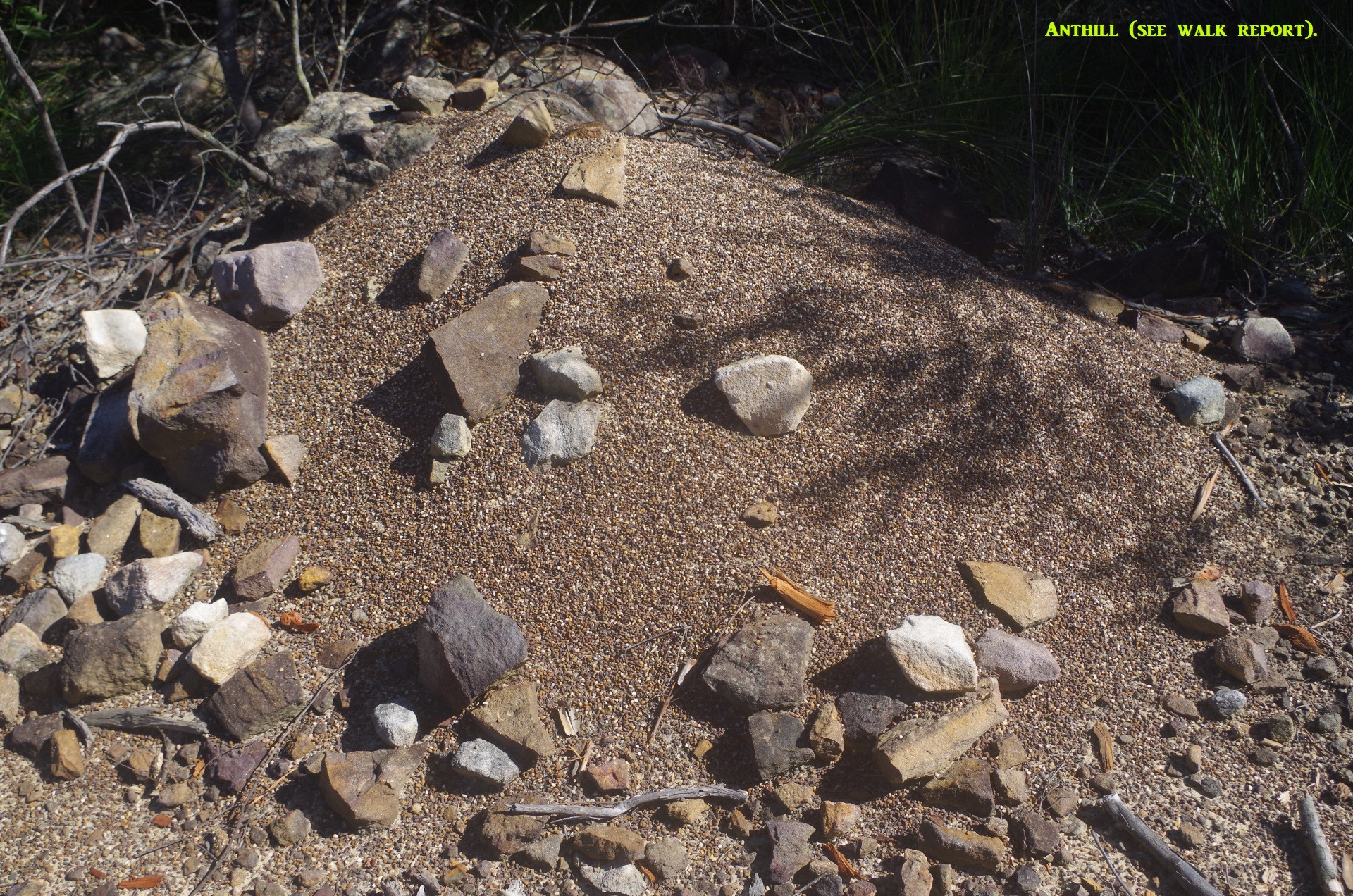
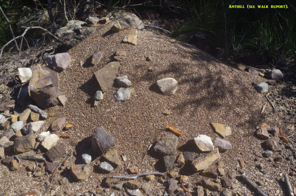
From that point the track levels out more, and along the way we could see the result of the slashing of trackside bush to make the track wider. The roadbed was also being repaired here so it was less rough than it has been in the past. After a while we passed an anthill (see photo) and I explained how the ants were in the process of replacing light coloured bebbles with dark ones to help keep their hill warmer in the coming winter.
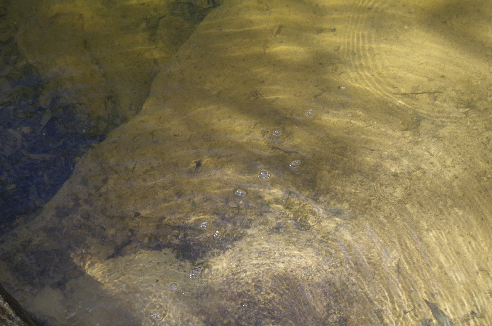
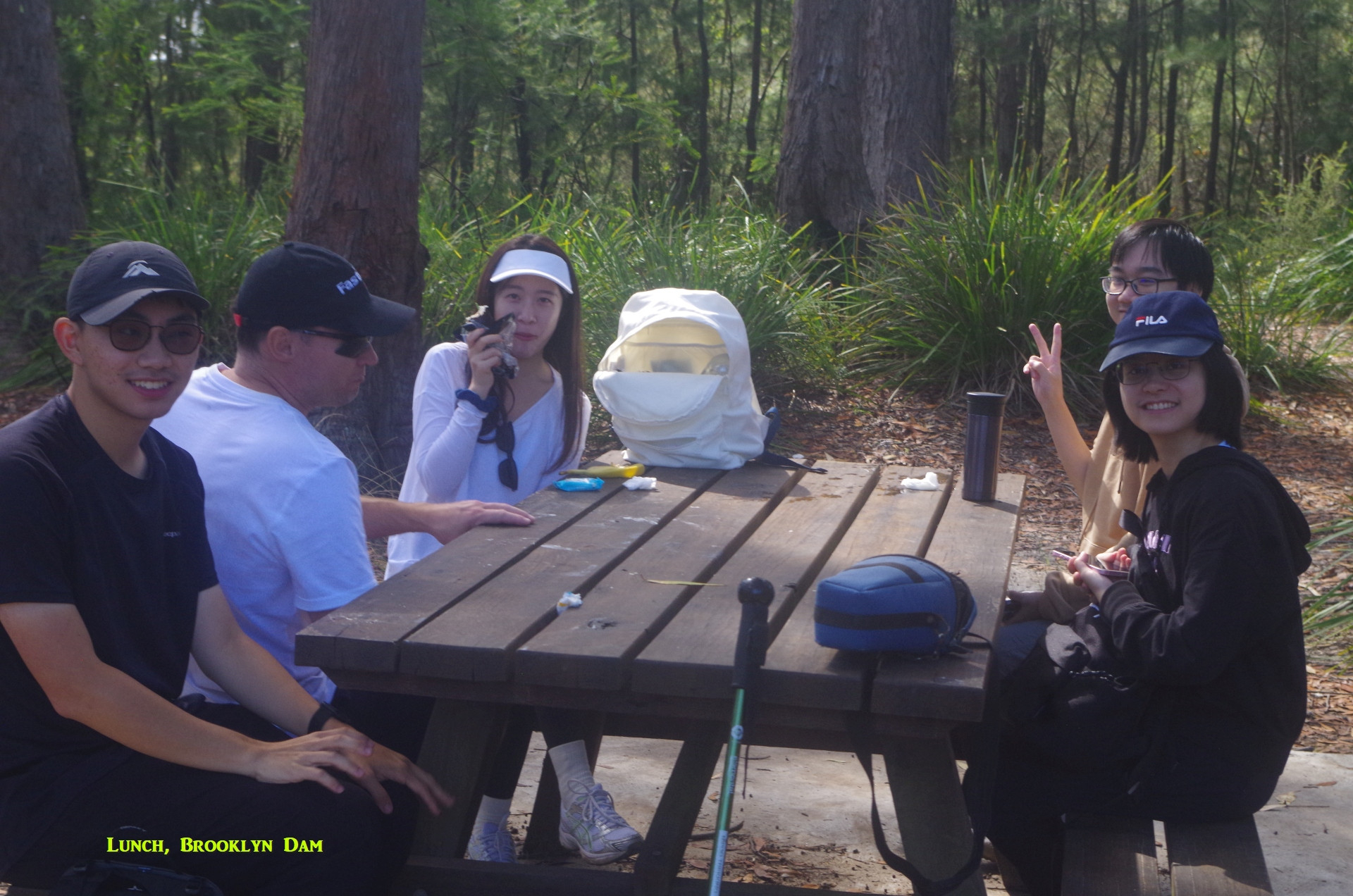
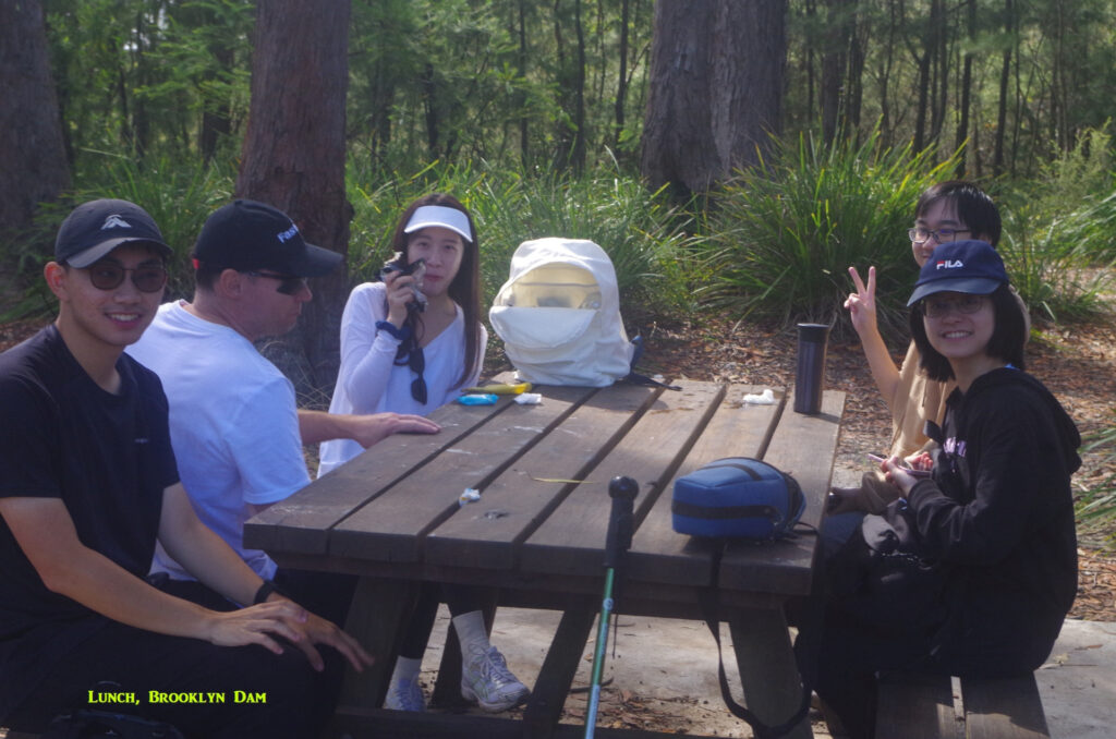
The track undulates for some distance until starting to drop down as it approaches Brooklyn Dam. We continued along the track which circumnavigates the dam; although it is part of the Great North Walk, bushwalkers going to or from Cowan tend to skip this section and instead take the shortcut track near the dam wall. So this section is less used, but is still interesting as it is more heavily wooded here with taller trees, and at one place we found a very clear stream with tadpoles in the water (see photo). Roadwork did make the trail muddy in some places. Eventually we came to where a track branches off to go to Boronia 4 and 5 rail tunnels; the latter one is now abandoned, and years ago on walks we would go to this tunnel. Nowadays there is a locked gate so that can’t be done anymore. 😟 To its left the GNW starts rising fairly steeply again along a bitumen track, and I considered going up it as it leads to a view point and then to another track going through the bush back down the hill. I decided against it, and then retraced our steps back to where the shortcut track I mentioned earlier cuts across just below the dam wall. We arrived at the picnic spot there and decided it was time for lunch, although not quite midday but close enough! (Brooklyn Dam was originally built to supply water to steam trains; I think the water is not suitable for drinking).
At lunch I had two of my little home grown sugar bananas, the only two that I had ripe enough to eat (so none available to share) and a couple of the girls were rather intrigued by them and wondered what sort of tree they grew on. There’s a couple of houses on Brooklyn Road which have banana plants so I said I would show them later on.
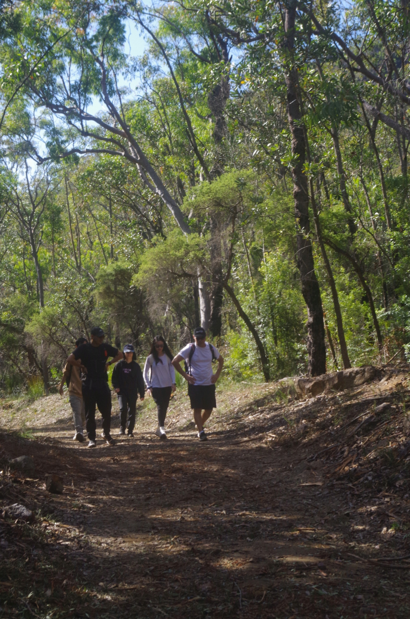
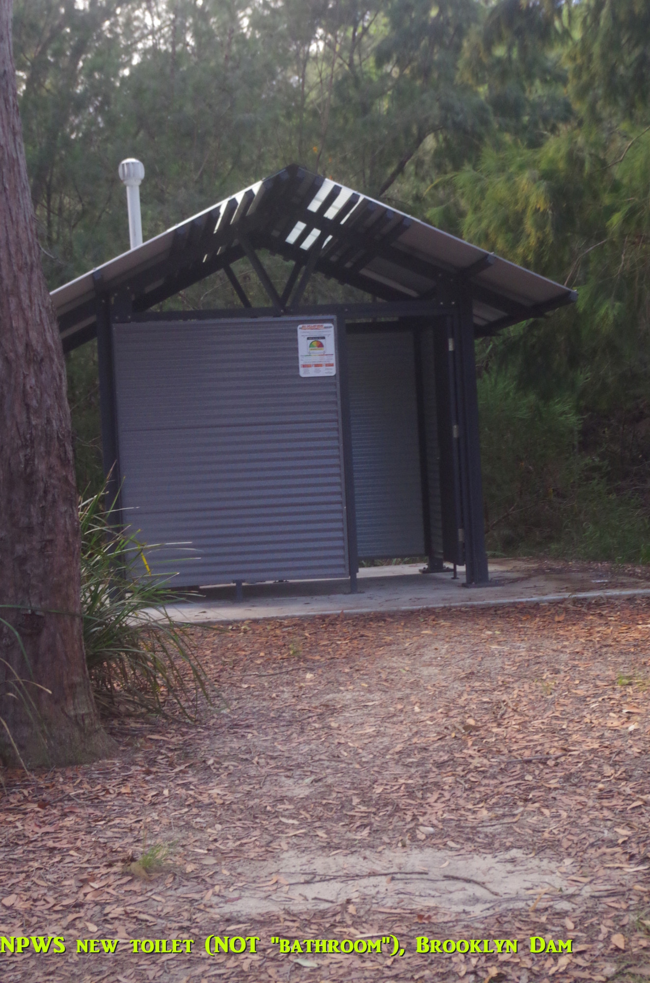
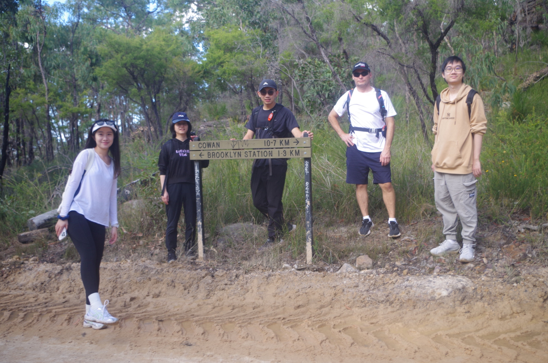
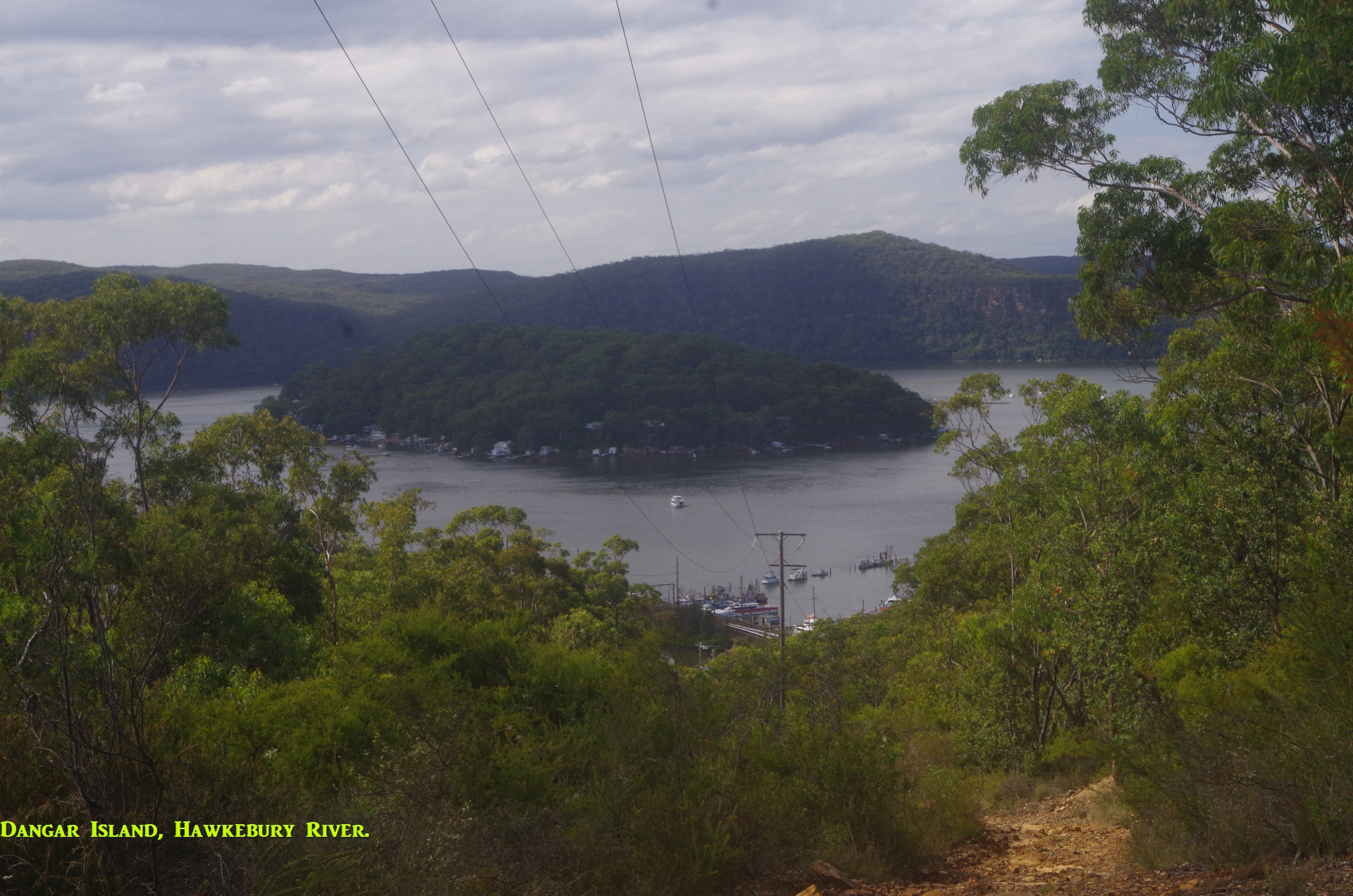
Noted also there is a new NPWS pit toilet (NOT a “bathroom“) there now. After lunch we started on the return walk back to Brooklyn along the GNW until reaching the sign which states “Brooklyn Station 1.3km (which is actually the distance to the Brooklyn pub). From here I led the group down along the older trail which was the Brooklyn Dam track before the Railcorp concrete road was built, bypassing this section. It is still used as an access to railway power poles although is rather rough in some places. Along it are good views over Dangar Island, which you don’t get on the official GNW track. This shortcut track has its own shortcut too, more or less following power lines along a bush track for about 100 metres before rejoining the trail. Then it comes to a decaying direction post from where a track goes left down the hill on a rather vague path until reaching Brooklyn Road neer the railway overbridge. (Note that Google Maps calls it part of the GNW but it is not),. And be aware that if you are not familiar with it, there are several clear tracks branching off it which are actually dead ends and will get you lost. And in warmer weather you need to watch for snakes.

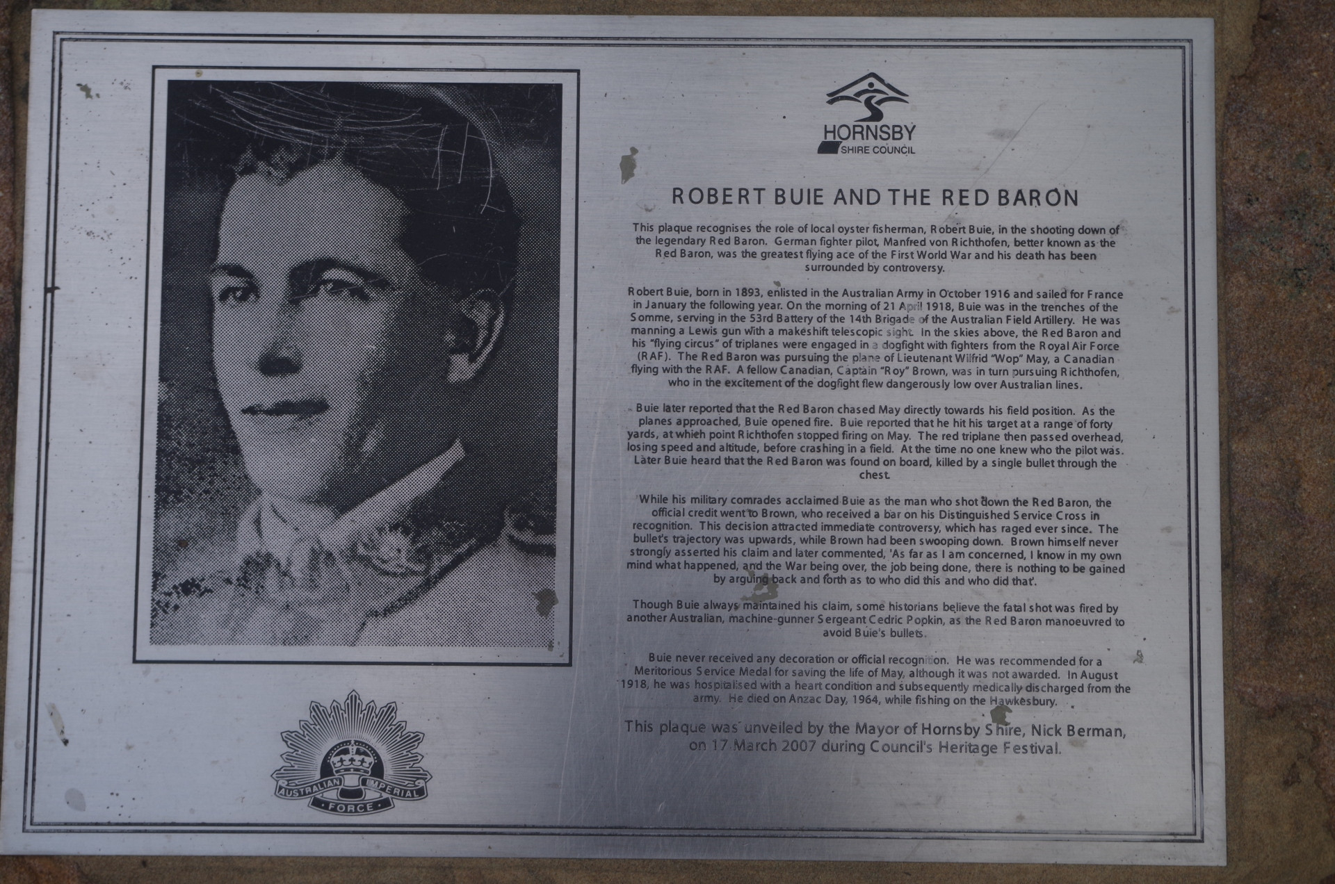
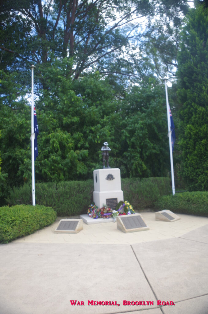
On arrival at Brooklyn Road we turned left to go over the railway and a 1km walk to the Brooklyn War Memorial (well, it was ANZAC Day), which also has a memorial referring to the Red Baron (Manfred von Richtofen) a famous German pilot who was shot down by an Australian gunner in France in April 1918; the photo of the plaque explains it more. (Historical note: the British military denied that an Australian did it, preferring their own version of history that one of their own did. It took them 100 years to change their mind; as the saying goes: history is written by the victorious).
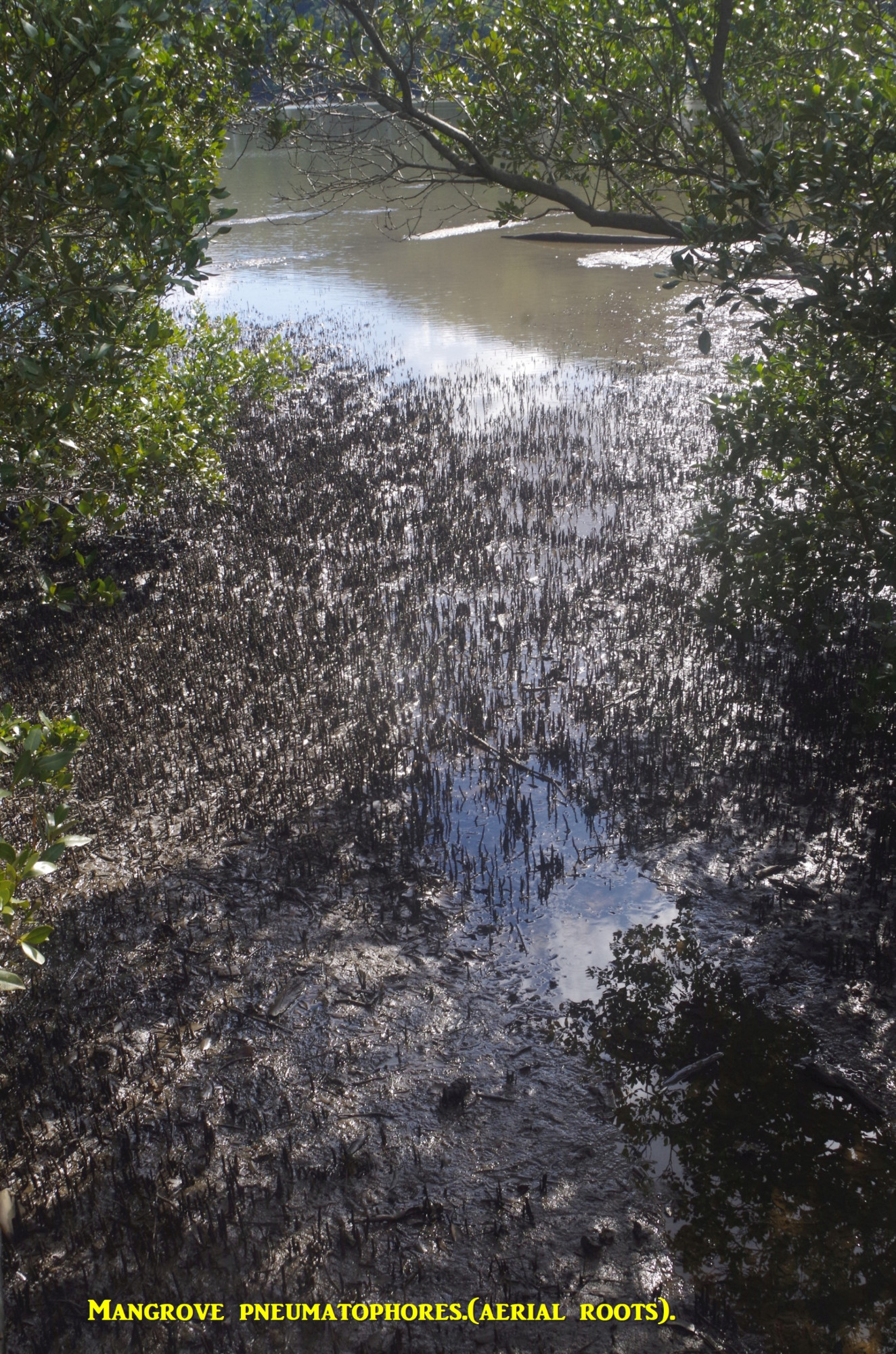
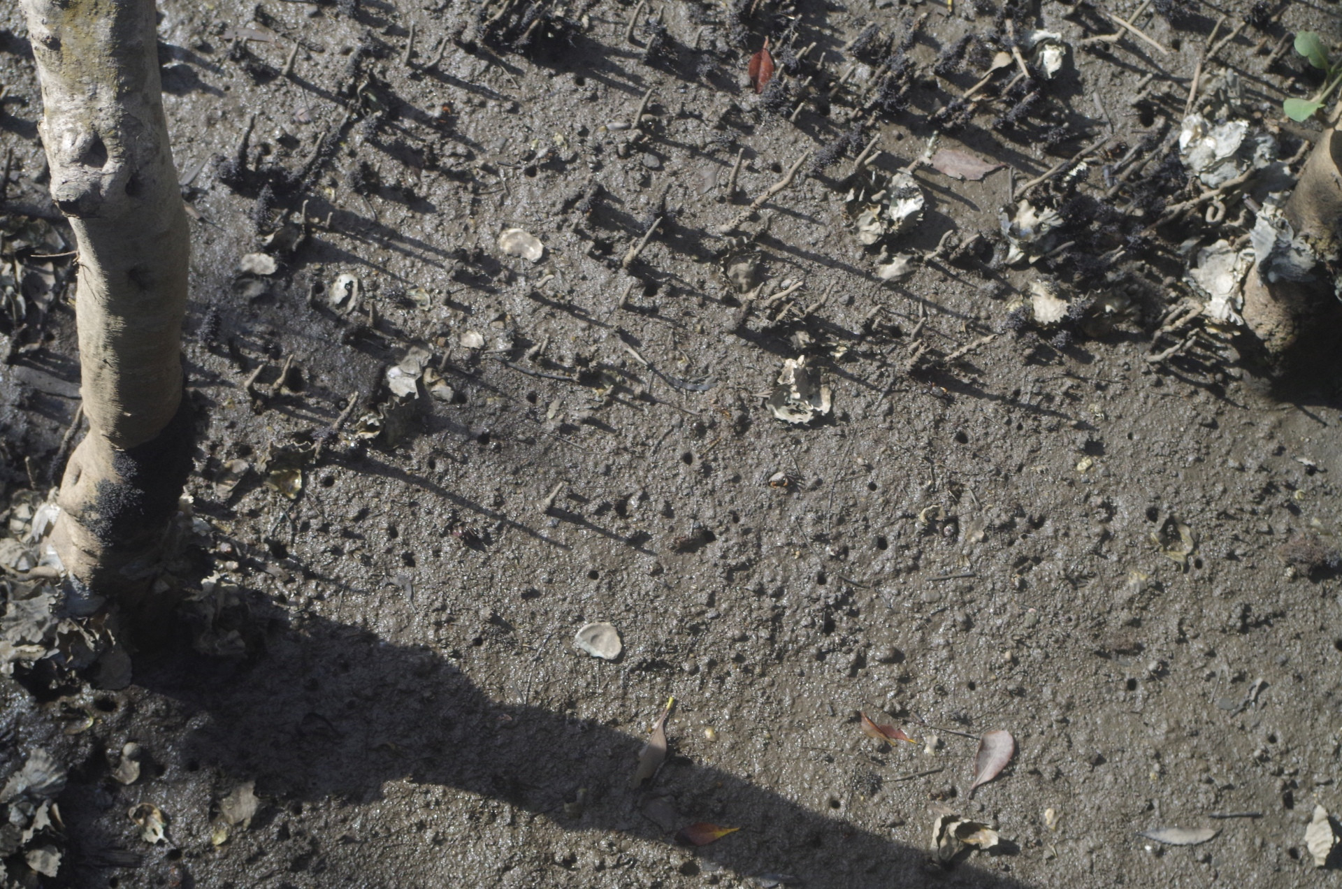
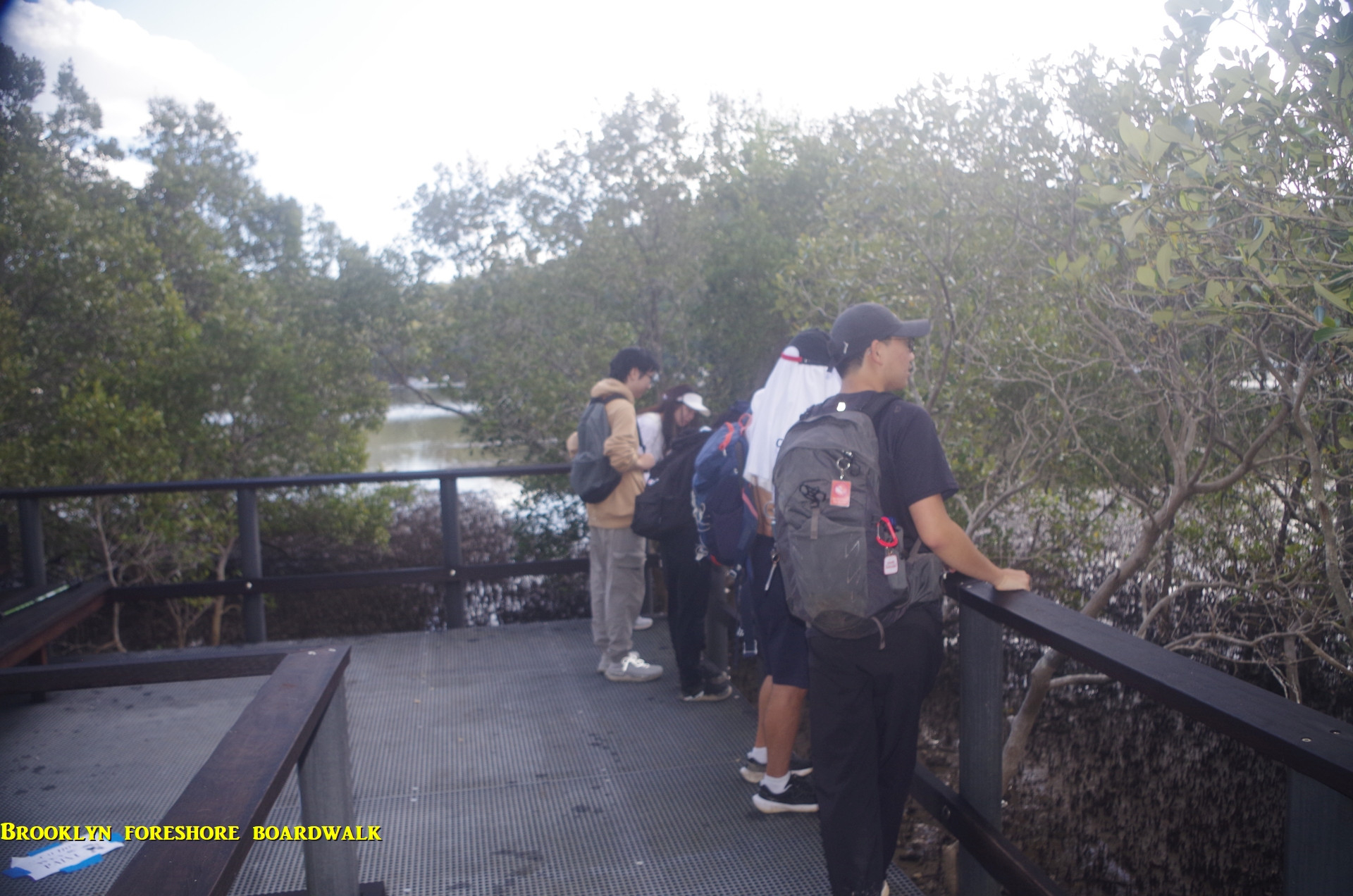
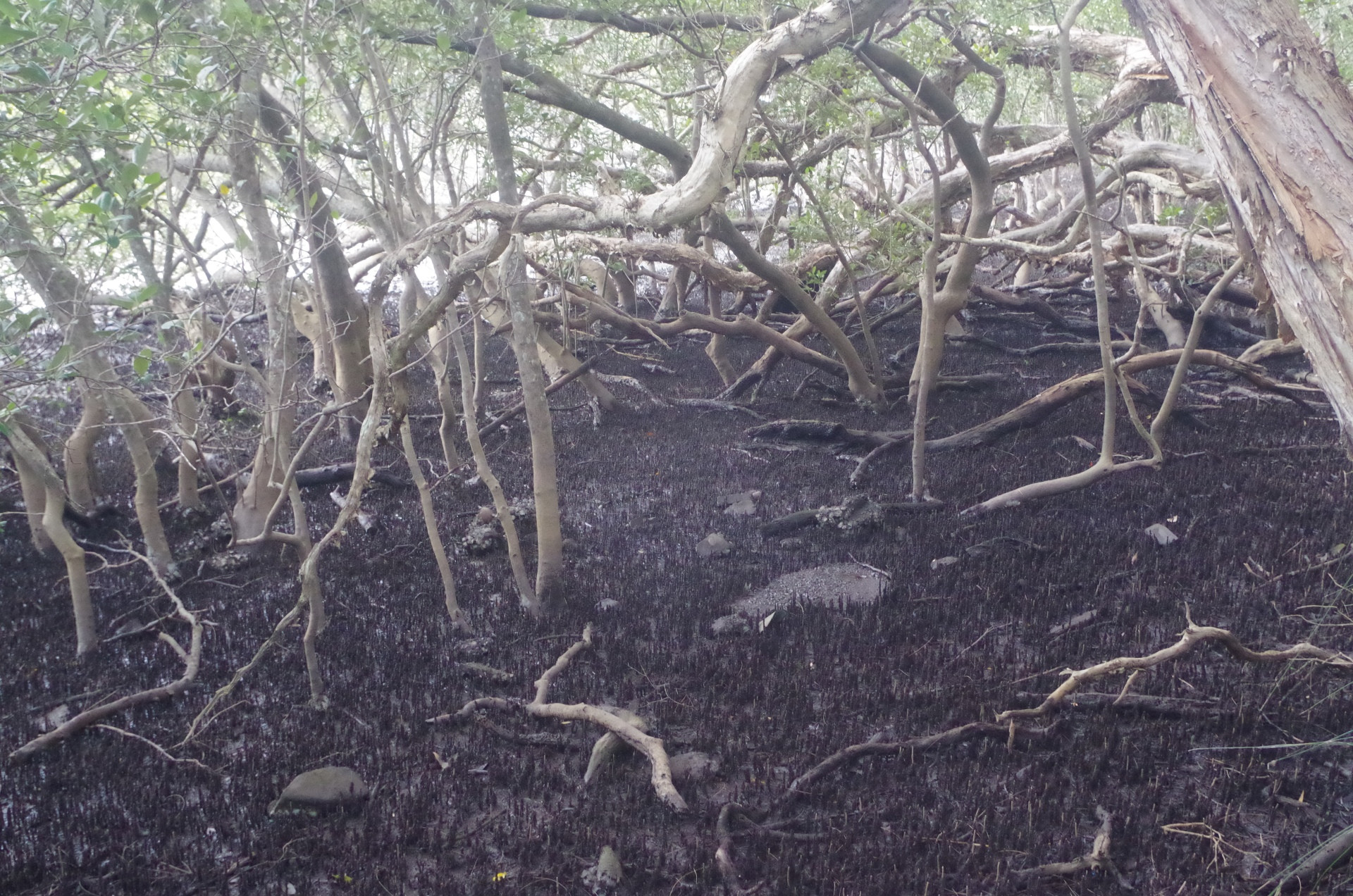
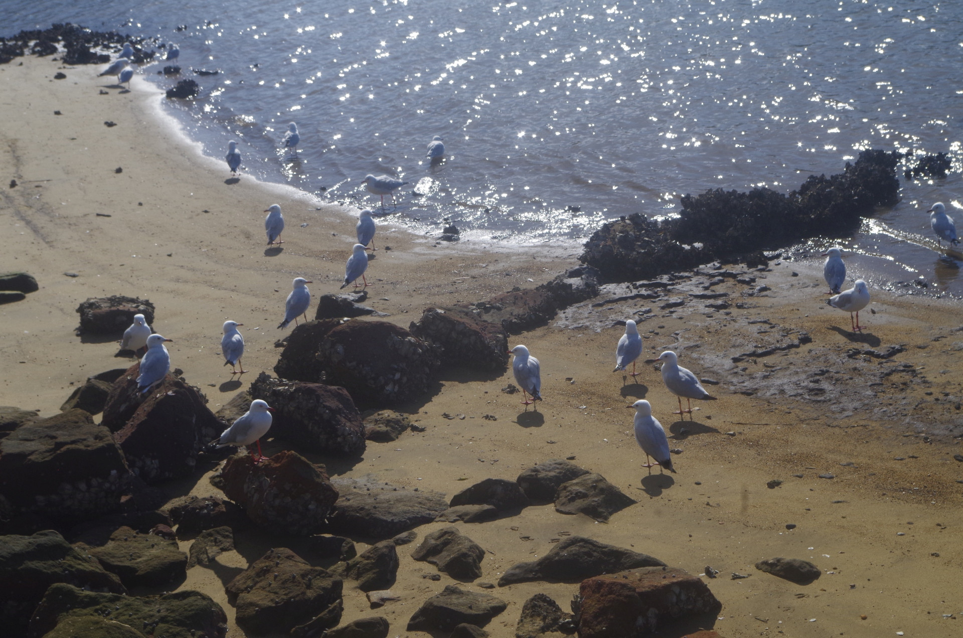
After the War Memorial we continued on to the boardwalk over the foreshore which, as it was a falling tide, exposed mud flats and the pneumatophores of the Mangrove trees. Pneumatophores are aerial roots which help the tree “breathe” at low tide. Also in the mud were numerous small holes in which tiny crabs live; some can be seen if you look carefully at the photos. The boardwalk goes for about 200 metres, then back to Brooklyn Oval. From there we returned to Brooklyn township via Brooklyn Road. As promised earlier, I showed the students the Banana plants growing in someone’s front yard, which surprised them that they are not really trees but giant herbs.
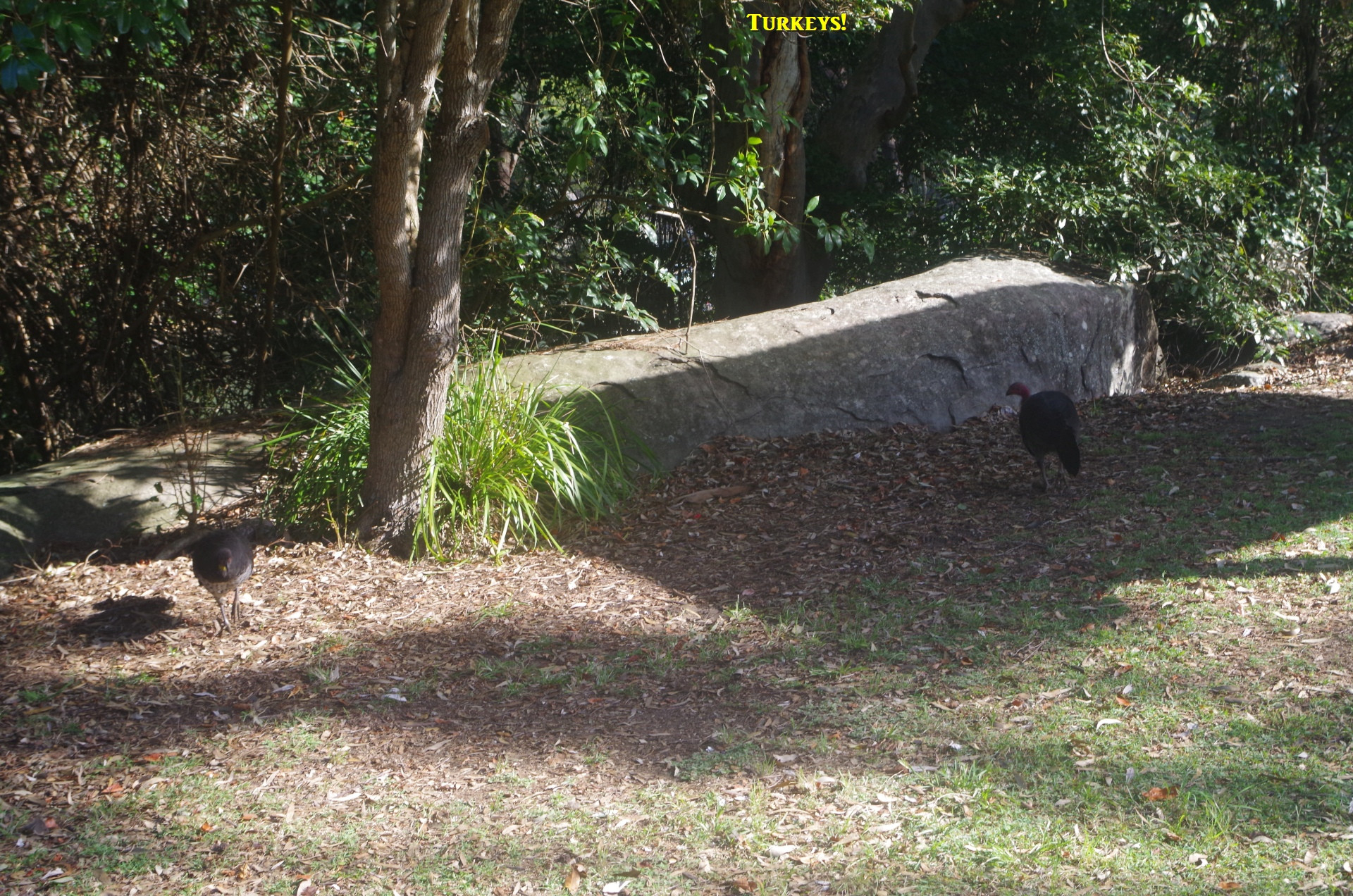
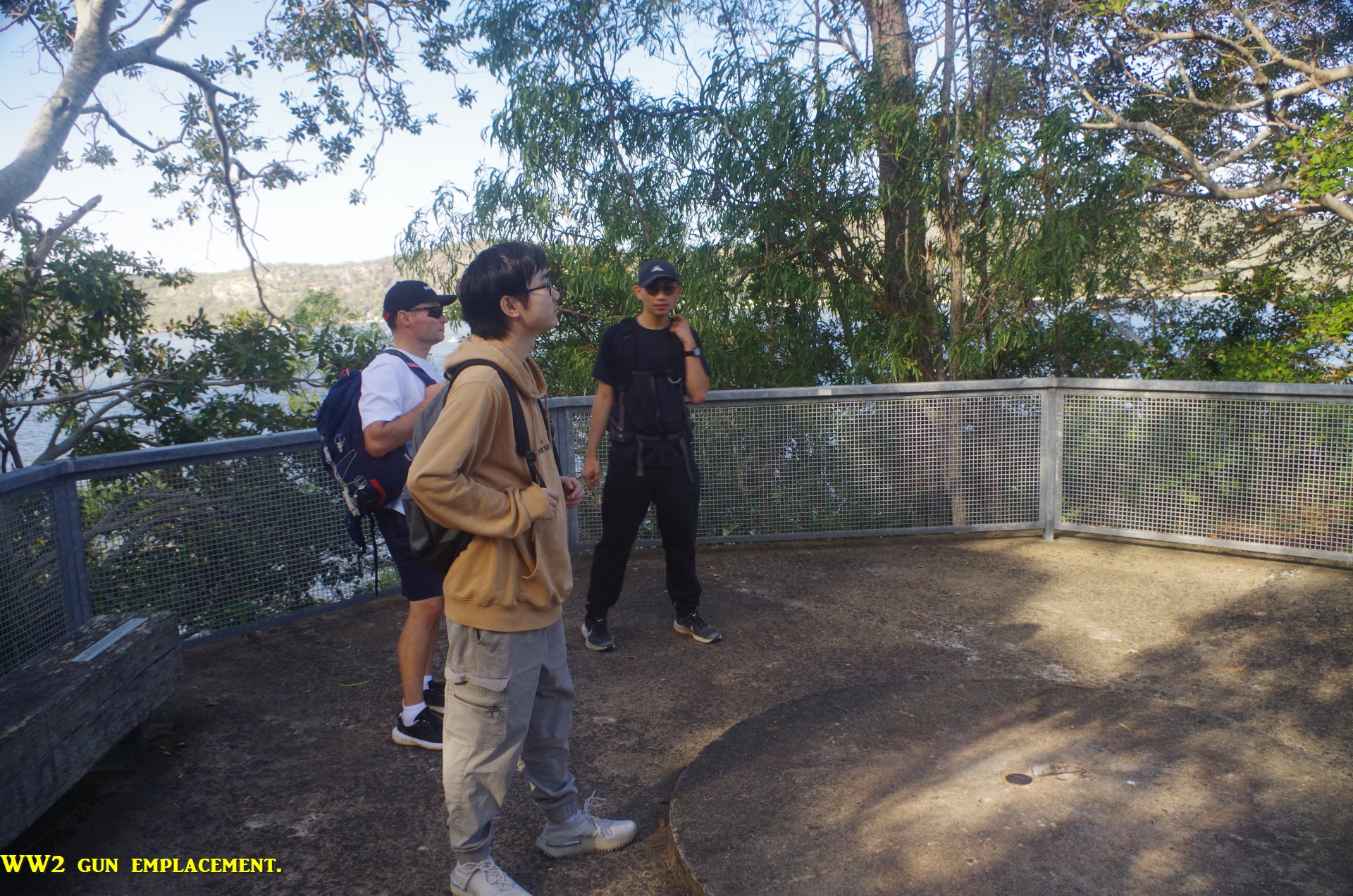
Here the third short walk started. It goes up steps at the end of Brooklyn Road then onto Karoola Street. Here, Hanwen, Lei and Minyun saw a Lemon tree in a garden with fruit on it, and they took photos, evidentally not having seen lemons on trees until now. After that photostop wecontinued through Upper McKell Park with its picnickers – and Turkeys – to a lookout above Flat Rock Point. Here there is the base of a WW2 anti-aircraft gun placed there in 1942 to protect the Hawkesbury rail bridges against air attack. Such attacks never occured; but one Brooklyn war casualty happened in March 1941 when the Brooklyn-based steam trawler “Millimumul” hit a German mine east of the Hawkesbury River’s estuary at Broken Bay.

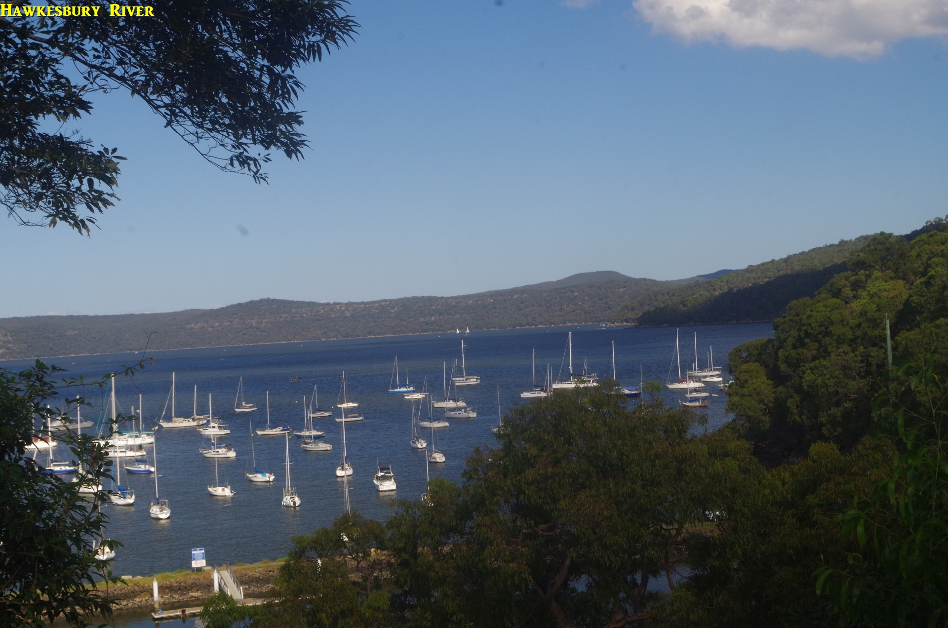
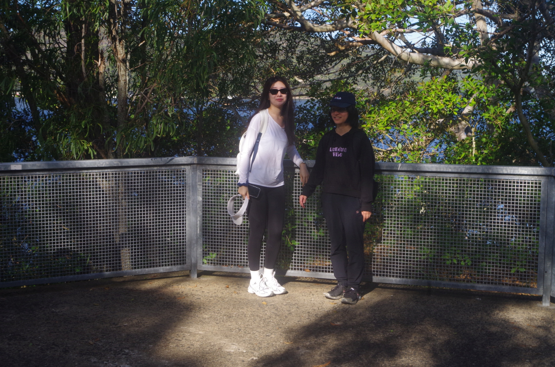
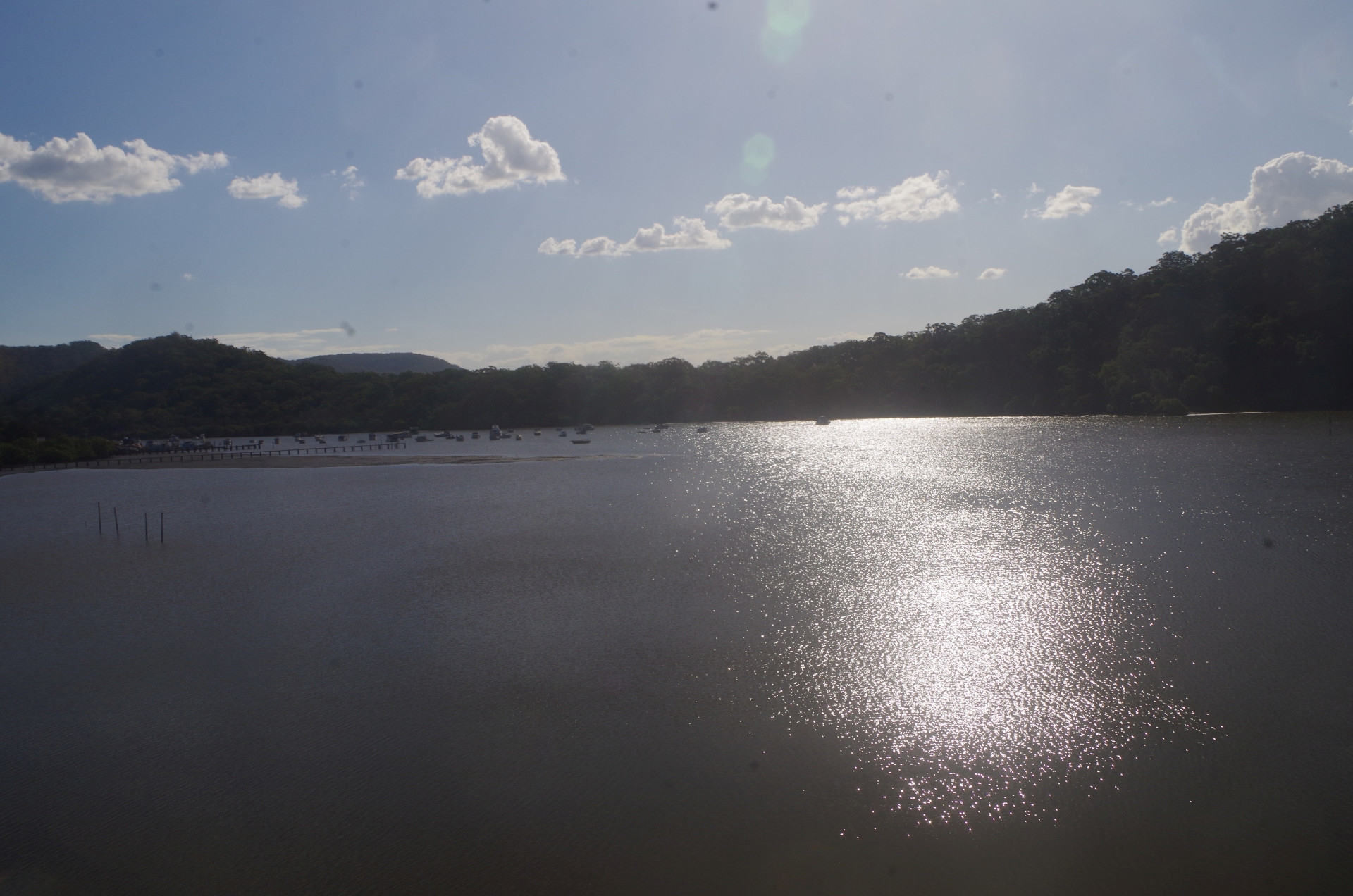
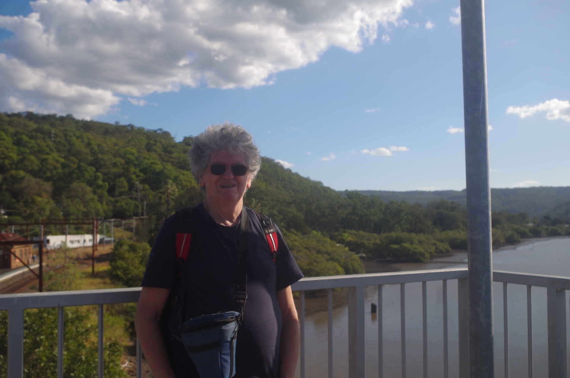
From there a short track drops down via a stairway to Flat Rock Point and then we returned along the foreshore footpath to Hawkesbury River Railway Station in plenty of time for the next trains. The station provides a great view of the inlet and of Long Island, which is a nature reserve only accessible via another Railcorp road which usually has a locked gate. On the station footbridge the girls obliged by taking the only photo of me on the walk!
That was the end of the walks. My train north came first and I said goodbye to the others, who appeared to have had a good day out.
I mentioned at the start about someone sending me an email at 11.20pm stating she was no longer coming. In fact, she had earlier sent me a text at 10.56pm asking if she could bring a friend along on this walk. Now, sending a text at 10.56pm the night before a trip is risky, and there’s a high chance that it may not be answered straightaway. I didn’t get round to answering it until about 11.30pm as I had other things to do like getting washed and ready for bed. I replied that she could bring a friend as this walk was not very difficult, but she never replied to that; I was unaware that she had sent me that email at 11.20pm as I wasn’t checking emails that late. It seems that having not received an immediate reply to a very late night text, she decided she was not going to come.
That brings me to an important point that Terry our Walks Secretary mentioned in his recent email about Trip Etiquette. If this walk had been harder, I would not have accepted her friend. It does seem from what I have heard that uninvited people have turned up on a few walks in recent months; read my trip report for a recent instance, https://www.subw.org.au/2023/09/16/centennial-glen-porters-pass-loop-west-blackheath-16-9-2023/ I appreciate that some walks leaders will let the uninvited friend along to avoid the sort of unsettling drama that happened on that Blackheath walk, but it sends the message to certain people that they can get away with it. Some people have been serial offenders, too. As for me, I will not be taking Sargeant Schultz’s “I know nothing, I see nothing” approach to people who break these important rules. (See the Schultz meme here:https://www.pinterest.com.au/pin/313492824057714683/ . If you want to know more about Sargeant Schultz and his TV series “Hogan’s Heroes”, best to google it; too long to explain here. His real name was John (Johann) Banner).
Fun fact about ANZAC Day” It is actually ILLEGAL for shops and supermarkets to sell ANZAC biscuits as “ANZAC Cookies”! No, I am not joking! (I wish it was illegal for Maccas to call chips “fries” [“do you want fries with that?” “No, but I would like chips with that”]).
Bruce Stafford.