Date: 7/10/2023
Trip leader: Bruce Stafford
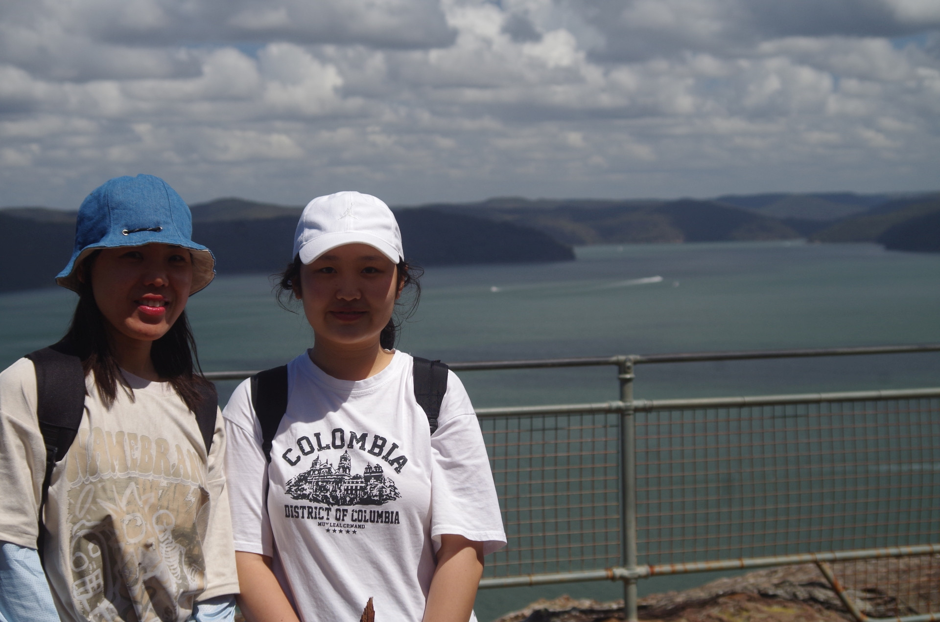
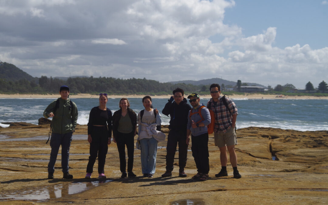
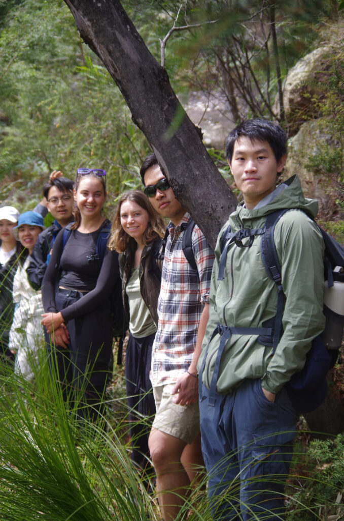
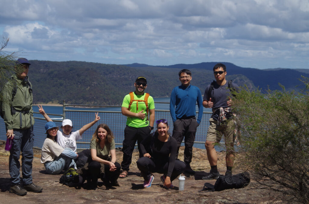
Party: Anna, Boren, Briony, Jinbei, Weiting, Yang, Yessentay, Yulong (George).
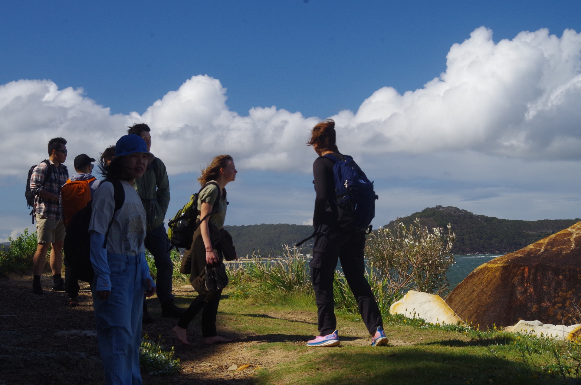
Umina to Pearl Beach & Warrah Lookout, Saturday 7-10-2023.
It will be a surprise to some that this walk was advertised as “Mount Wondabyne” on the trip list, but the closure of the Great North Walk where it passes through Brisbane Water National Park required an urgent change of location. I decided to keep the walk in the general area so that no sudden changes in train times were needed. The group just had to get the same train as already planned but continue on one more stop to Woy Woy. I did get a couple of people drop out because of the change in location. Jinbei missed the train at Central and had to be content with catching the next Newcastle train 30 minutes later and getting a taxi from Woy Woy to catch up with us.
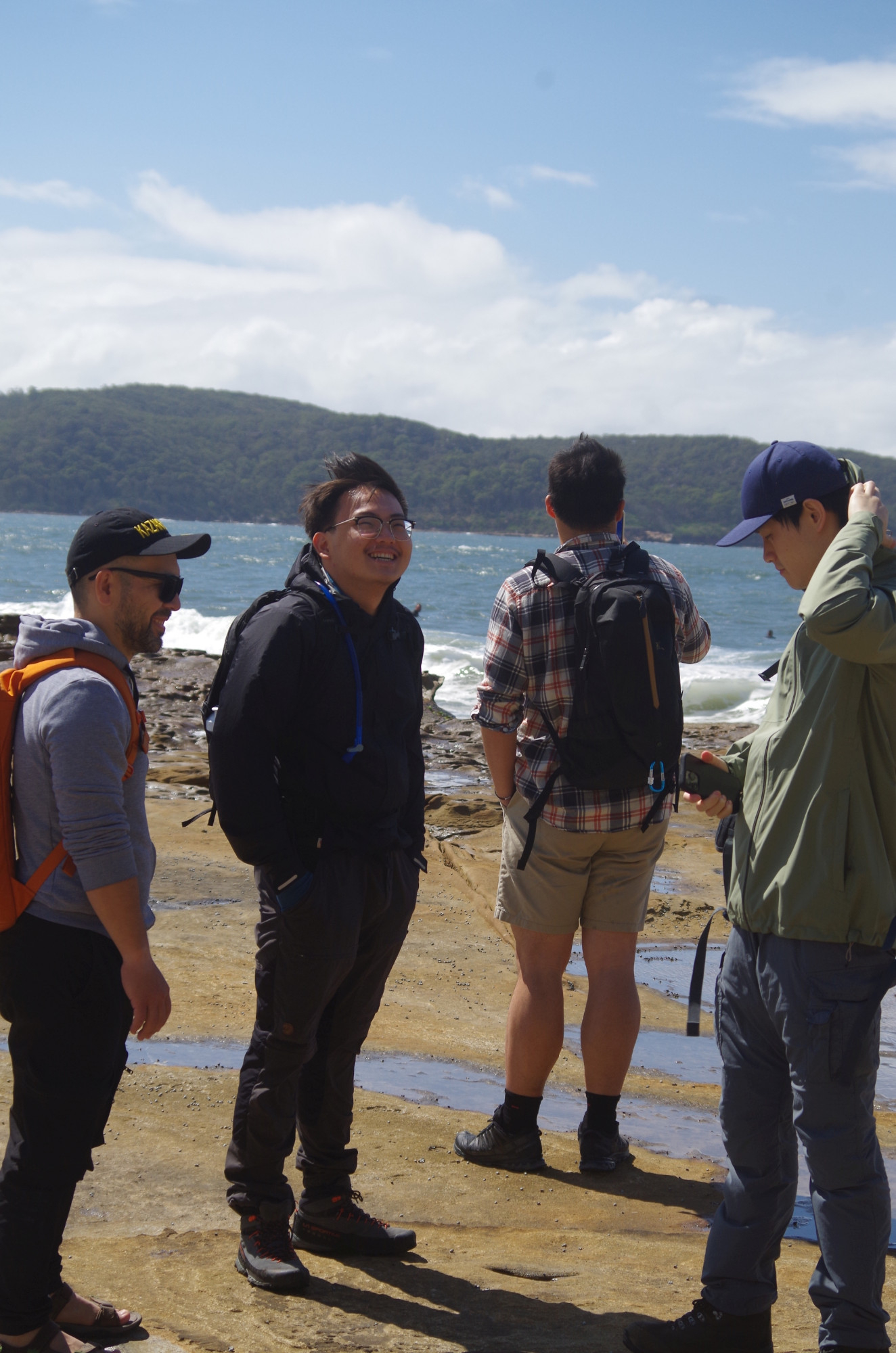
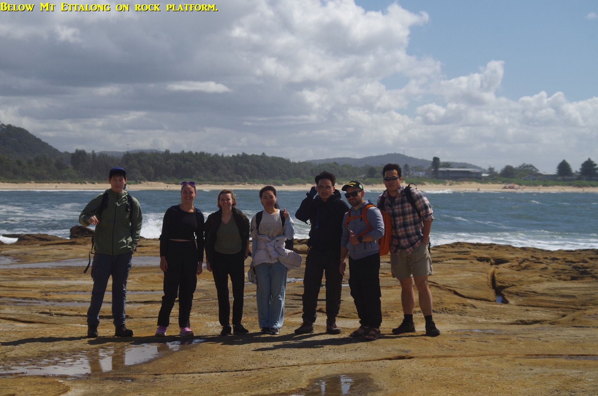
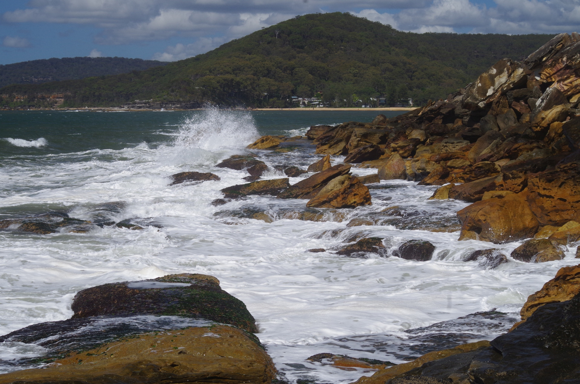
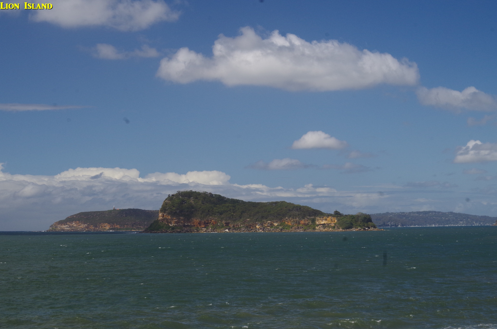
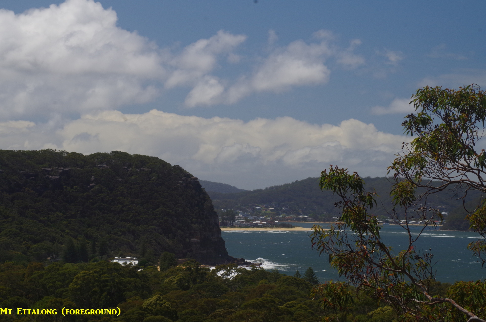
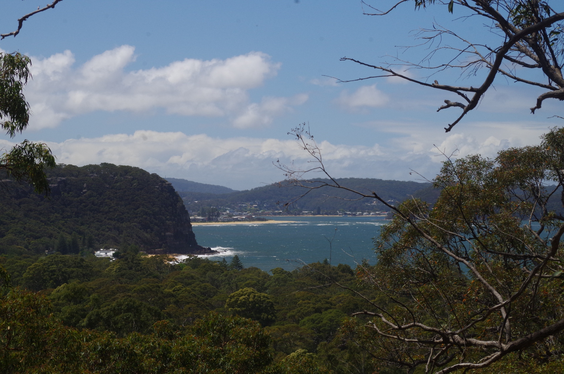
So we all met up at Woy Woy Station for the 10 minute bus ride to near the south end of Umina Beach and then another 5 minue walk to the beach. After the usual toilet stop there we set off along the rocks to the rock platform below the headland of Mount Ettalong. The tide was rising but not lapping over the platform, but the sea swell was about 2 metres so occasional waves would break through. Then we clambered up the rocky slope to reach the track under Mount Ettalong, which was long ago the original road to Pearl Beach until it fell into the sea! Today it is just a pathway rather narrow in some places. It does provide good views over Lion Island (a nature reserve with penguins) and Pittwater. It continues along to the north end of Pearl Beach.

We walked the length of Pearl Beach and some noted that the sand here is harder to walk on than at Umina. This is because of the different type of sand here which is coarser ansd in fact gave Pearl Beach its name. There are also patches of darker mineral sands which contain Titanium and other strategic rare elements. We arrived at the south end of the beach, and by that time Jinbei had caught up with us and was waiting at the cafe at Pearl Beach; her taxi fare from Woy Woy Station was $30!
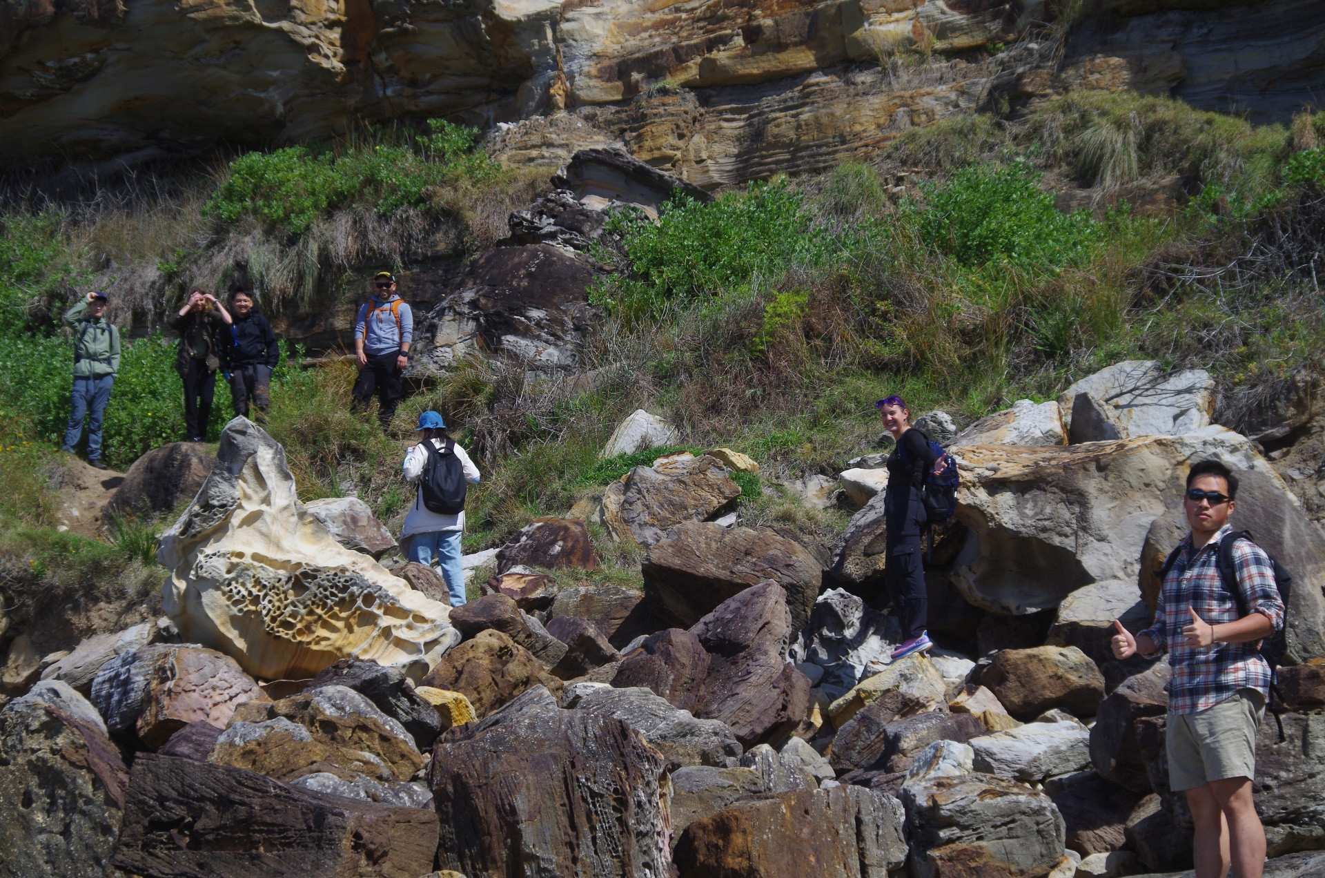
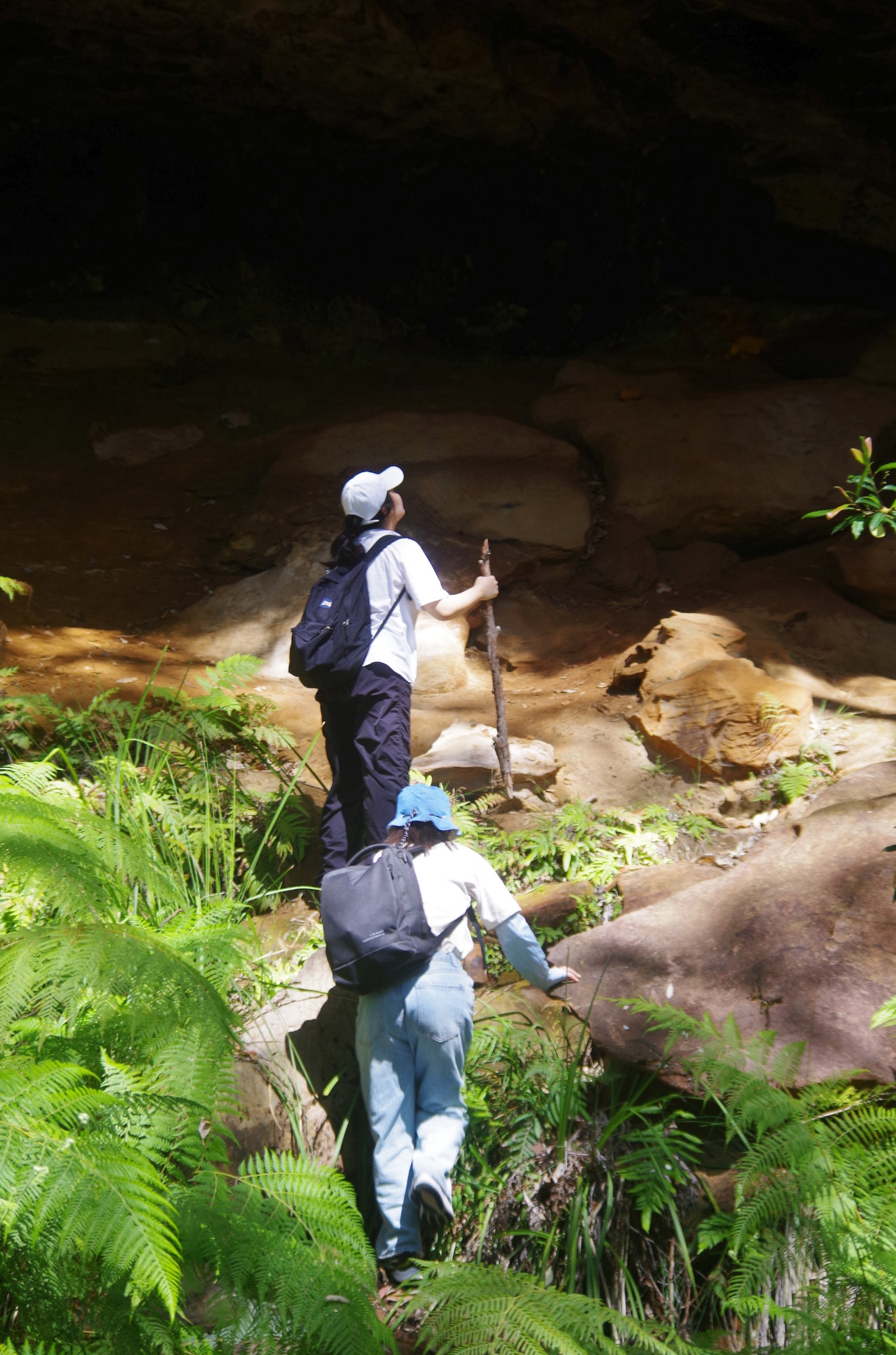
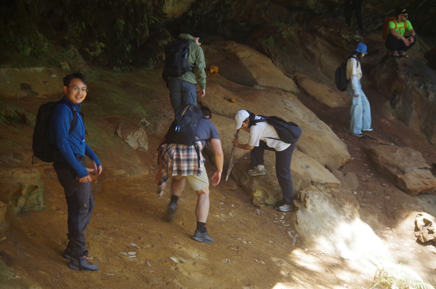
From the beach was an unavoidable road bash to Crommelin Arboretum, although the road itself is through housing in pleasant shady woodland. On arrival at the Arboretum we were disappointed that we were unable to enter it as there was a music festival called “Beatles Rebooted” on that afternoon and access was for ticket holders only. That meant we just continued up the road to its end at the Sydney Uni Biology Field Station. From there a quite vague track winds its way up the hill and under the cliff line to eventually reach Pearl Beach Fire Trail. It is indistinct and easy to take false side tracks which lead nowhere. And of course can’t rush this path as a lookout has to be kept for snakes. I advised some people not to be looking at their mobile phones while walking, especially on this track. As one goes along this track there is evidence that it was built up in some sections in the past and it is believed to have been an old horse track to Patonga before a road was built to that village.
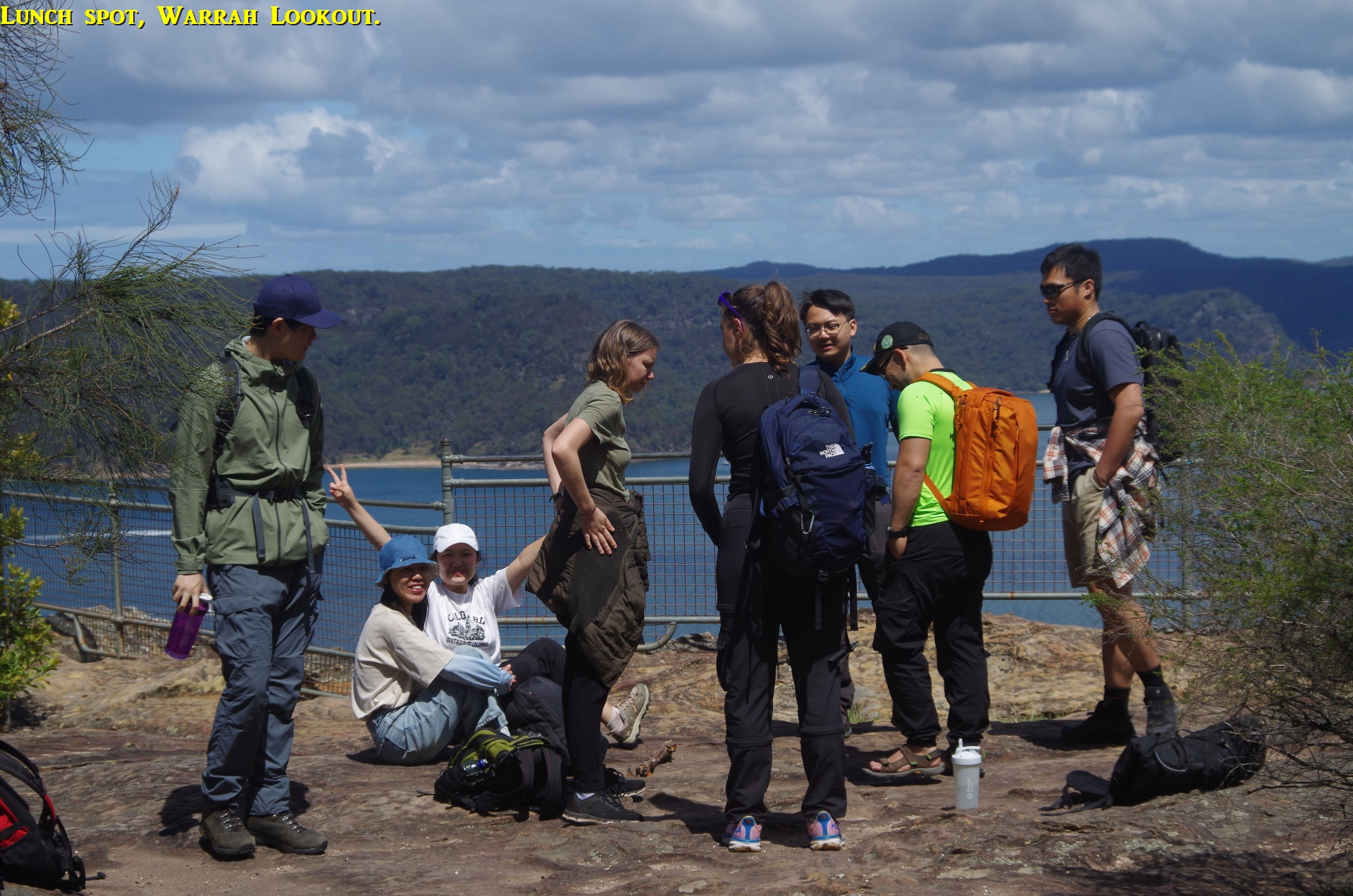
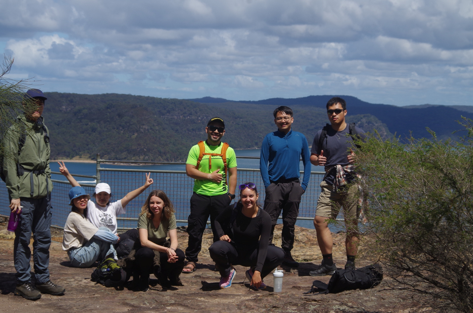
Upon reaching the Pearl Beach Fire Trail we continued along it as it gradually rose on its way to Warrah trig and Warrah Lookout, at which point it links with the Great North Walk (GNW). As the GNW was closed that meant that we couldn’t continue along the track to Patonga, which was only another kilometre and a quarter anyway, so the walk terminated at Warrah Lookout. You can find worse places to terminate a walk, as Warrah lookout has a wide view over the mouth of the Hawkesbury River and to Palm Beach and Barrenjoey Lighthouse.
At lunch Yessentay handed out Blueberries and dates, and someone else (sorry, forgot whom) handed out small mandarins. I gave Briony and Anna a sample of the small red “Dacca” bananas I had grown at home, and they thought they were good (they have a stronger tase than Cavendish bananas, the normal type in shops). A few other small groups came and went, all of whom had come up the Fire Trail from Pearl Beach. We had a discussion about Nam Giang’s comment about “Hike the universal term for bushwalking because not everyone knows bushes can walk” (see his trip “description” of 8th October). We decided that in that case, the Buttercup flower should not be called “buttercup” as people might think it was a cup made of butter, and Dragonflies (one of which we saw there) needed a name change too as they could be thought to be dragons that fly. And the North American word “streetcar” needs to be changed too as people might think it means a motor car and not a tram. (Come to think of it, the other U.S/Canadian tern for tram, “trolley”, is even worse as people might think it is a shopping trolley!). Bushwalking is called “tramping” in New Zealand, “rambling” in the U.K., and “Wandern” in Germany (Germans could also say “Buschwandern’ but no German is going to think it means bushes that hike). All these terms are very appropriate to these countries and reflect the environment in which people walk.
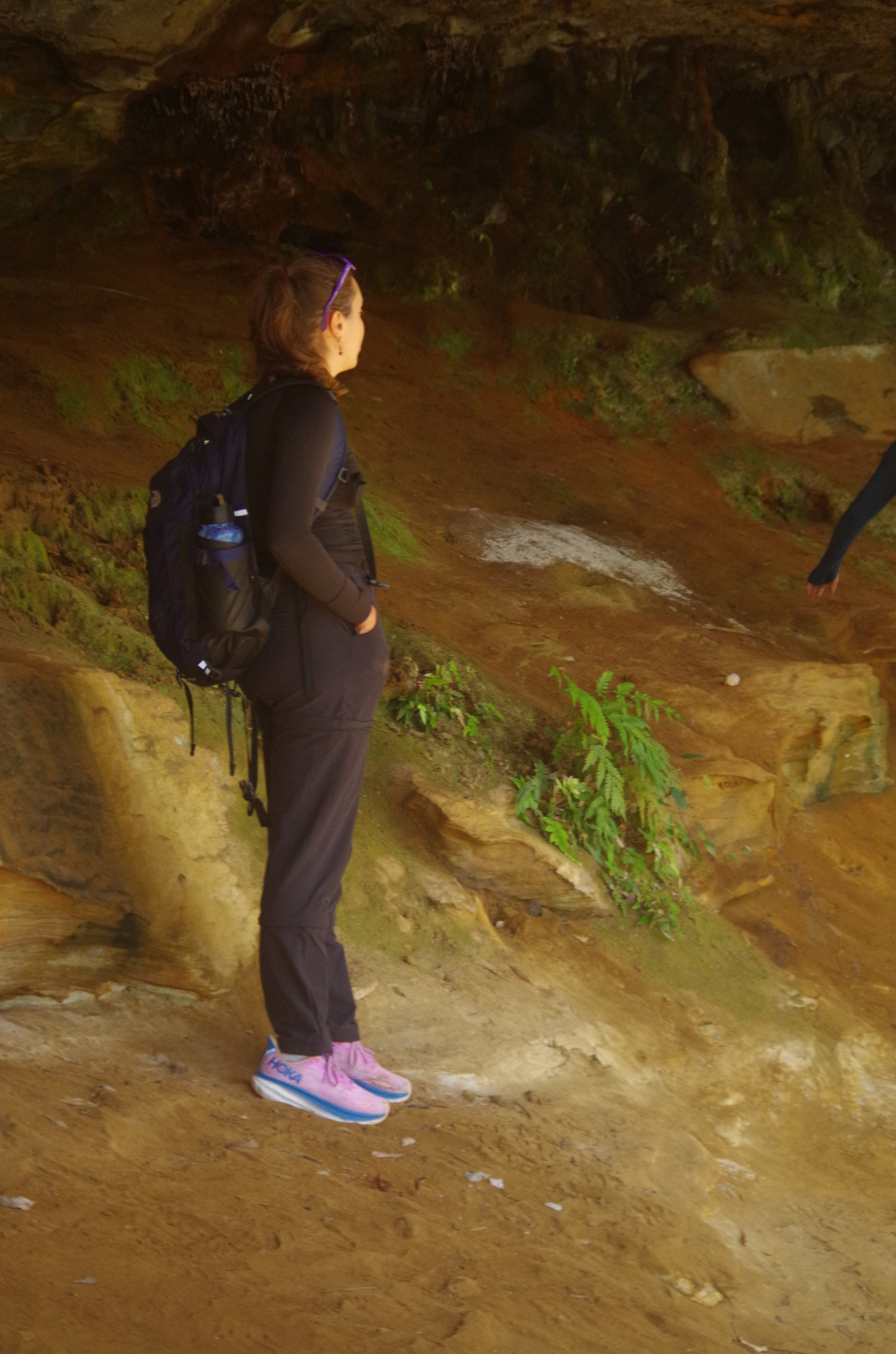
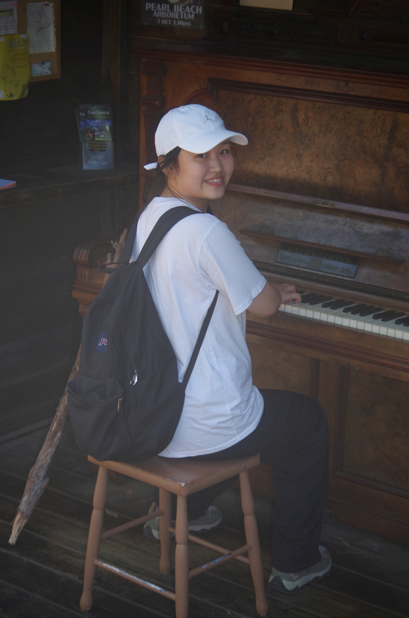
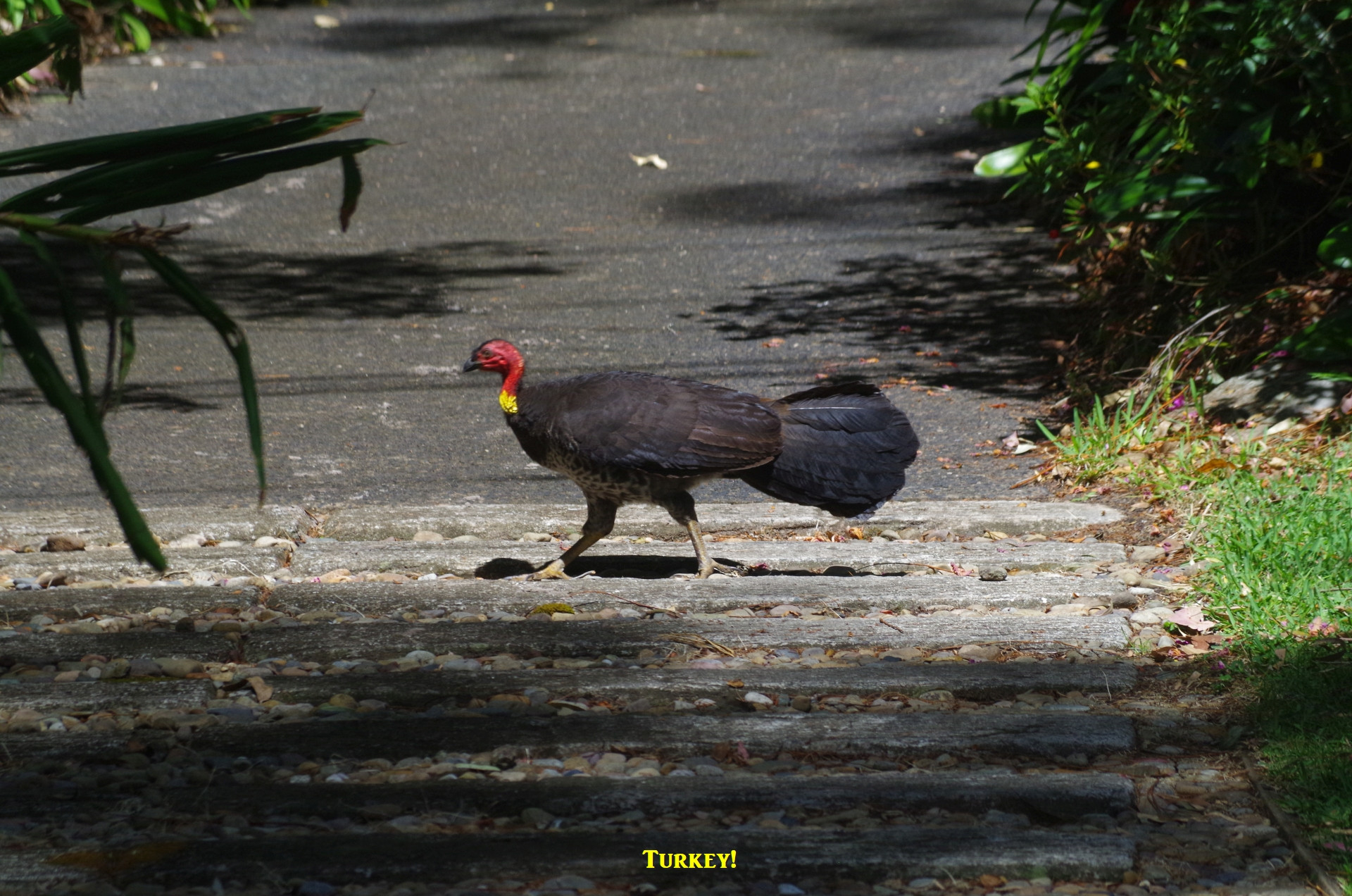
After lunch we returned back down the Fire Trail to Pearl Beach, this time not diverting along the bush track we had used earlier. Along the way we saw a large native bee which was too difficult to photograph as they don’t keep still for more than a few seconds. Further along there is a large overhand which forms a sizeable cave which can be a handy shelter if there is a rain shower. We went up to explore it. Then it was back to Pearl Beach via Crystal Avue with a short stop to allow Jinbei to have a go at a piano there (see photo). We also saw a Bush Turkey along the way. From nearby Crommelin Arboretum came the sounds of the “Beatles Remastered” concert which was now underway.

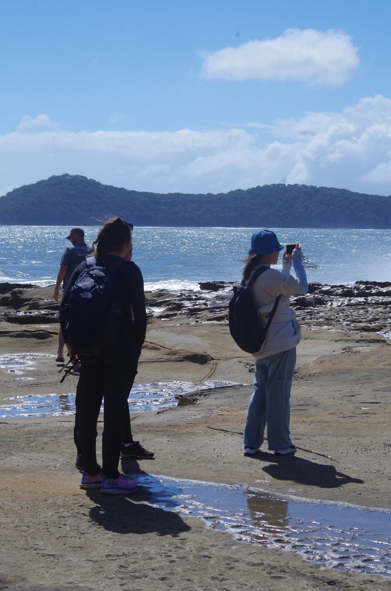
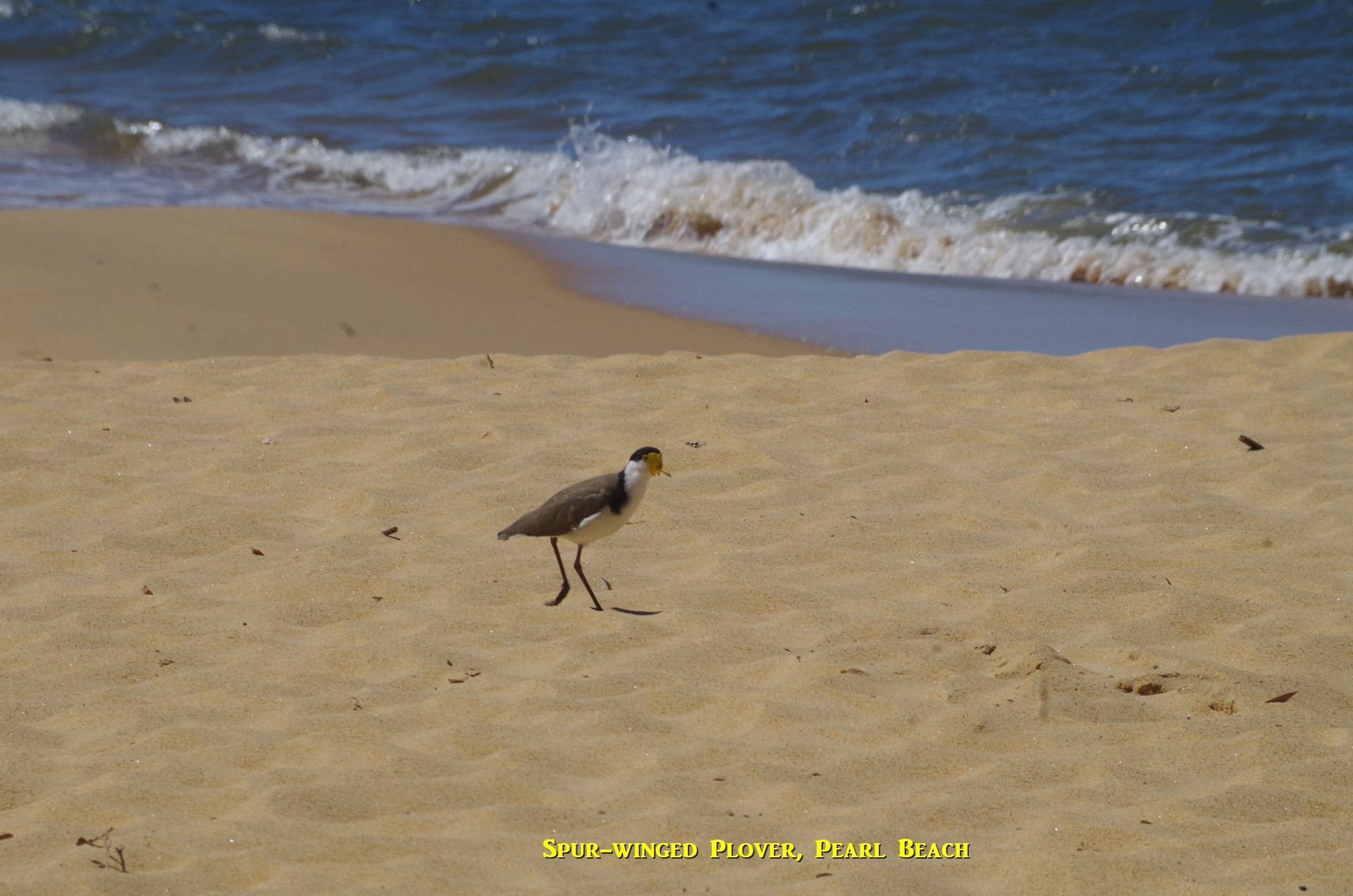
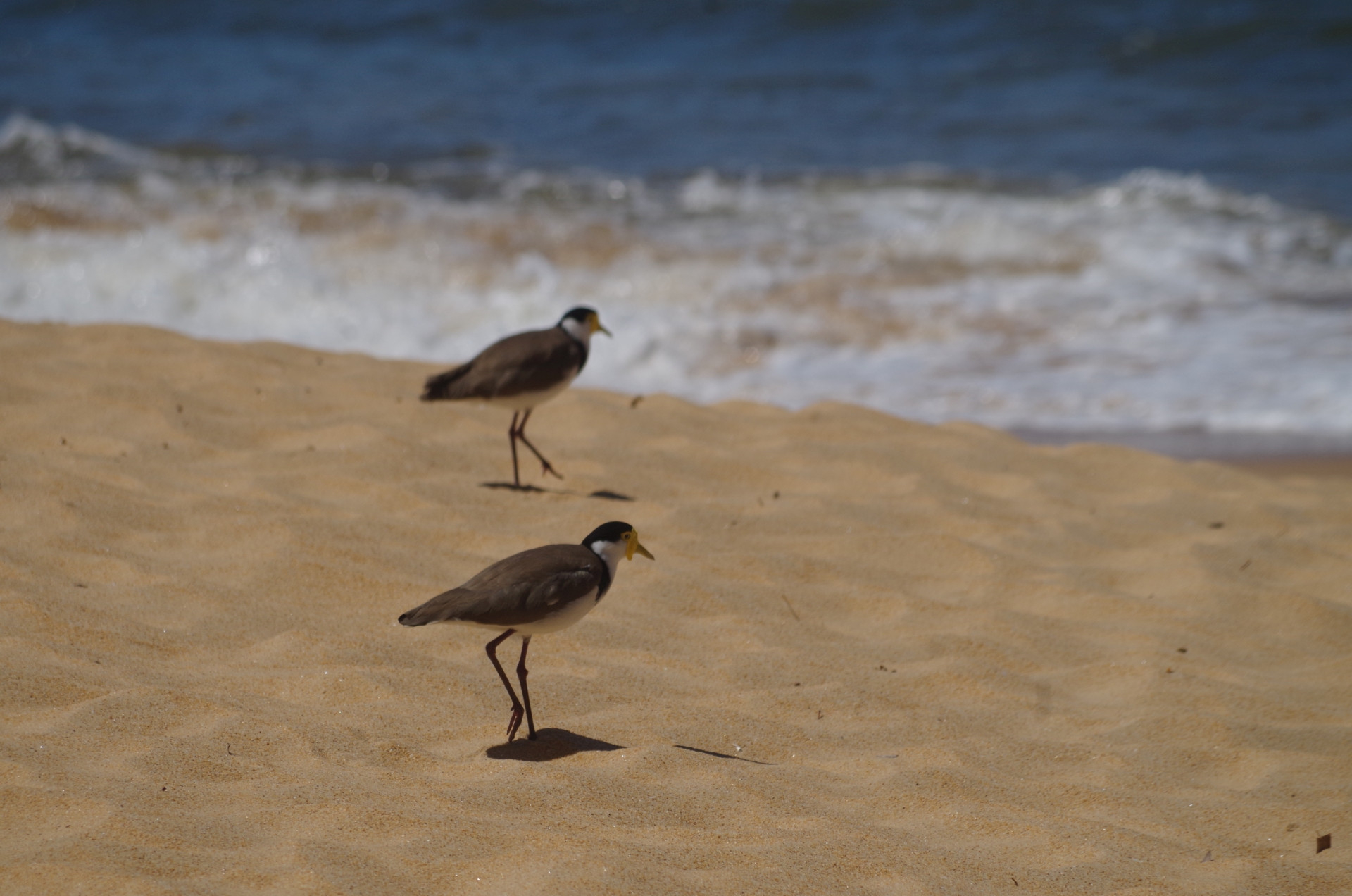
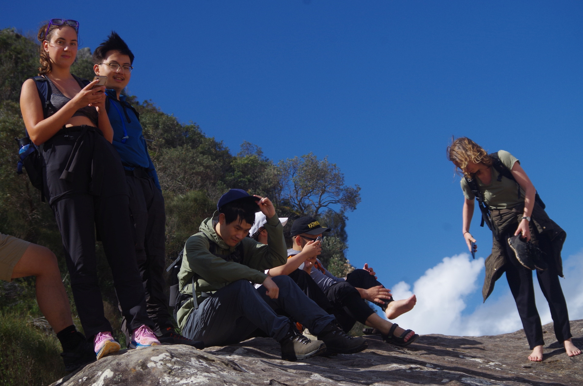
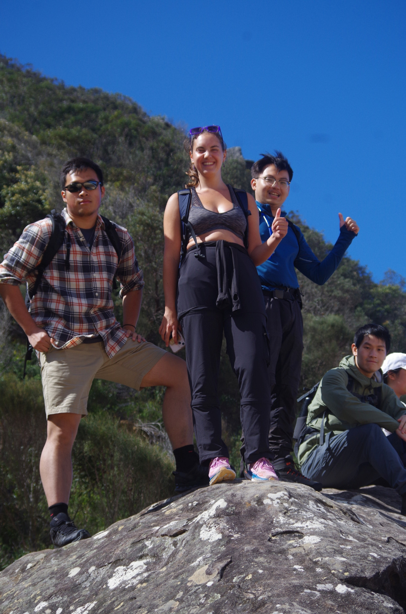
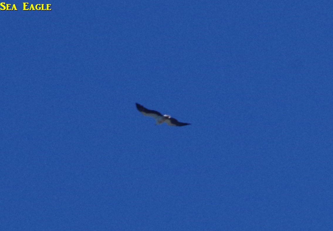
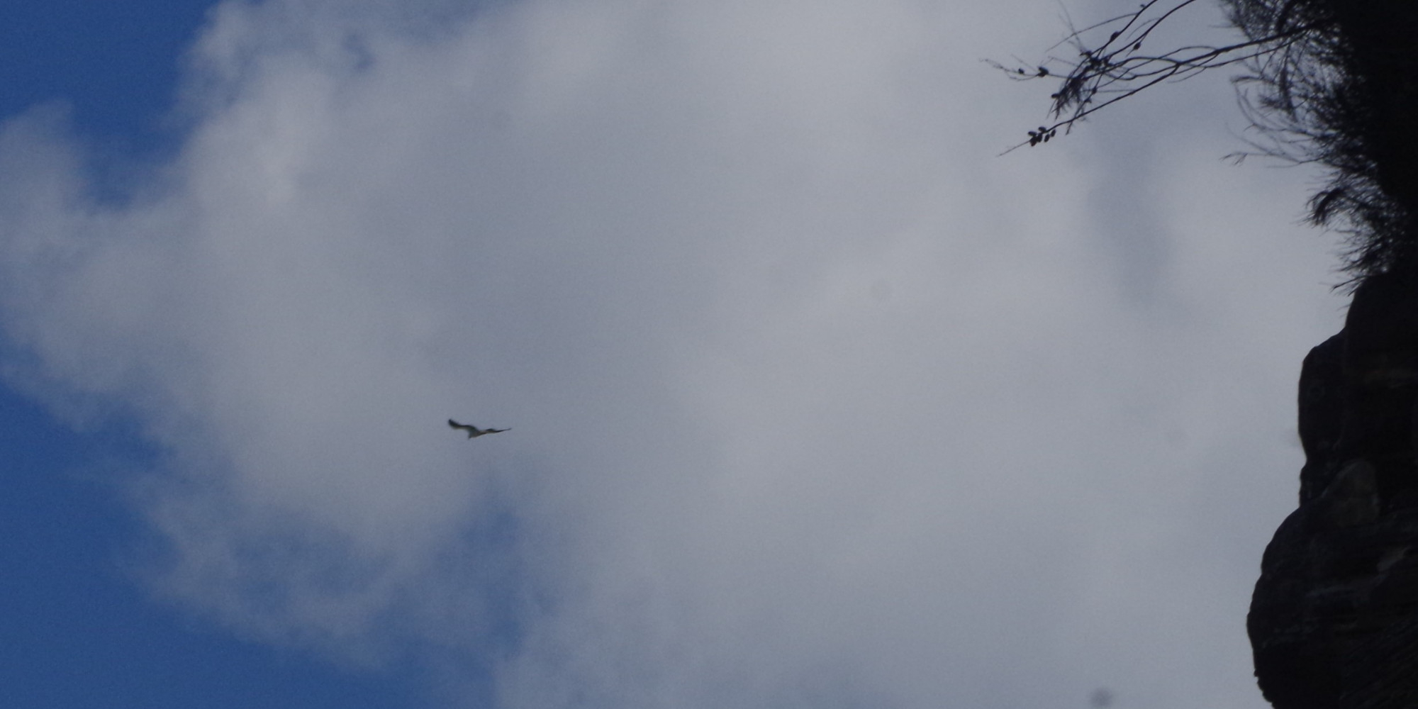
On reaching Pearl Beach we encountered quite a stiff cold southerly breeze and decided to walk around to the rock pool, which is sheltered from southerly winds, and take a break there. A pair of Spur-winged Plovers were seen at the beach (photos). As mentioned before the tide was rising and almost at its peak and Yessentay got a “wash” on his feet by a large wave; fortunately for him he was wearing sandals at that point. After the break we walked the length of the beach back to the path under Mount Ettalong headland. Befire that, several got up onto the nearby large rock. Then we continued along the pathway under Mount Ettalong. A pair of Sea Eagles were seen high above saring over the headland.
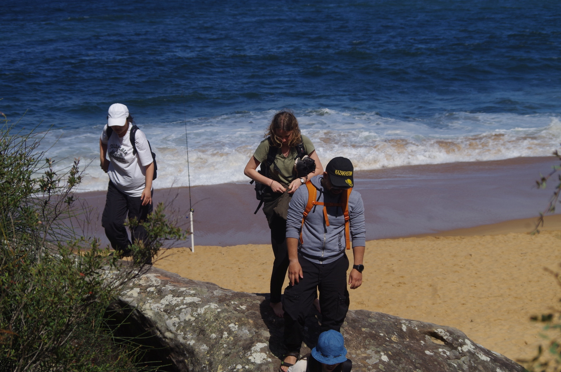
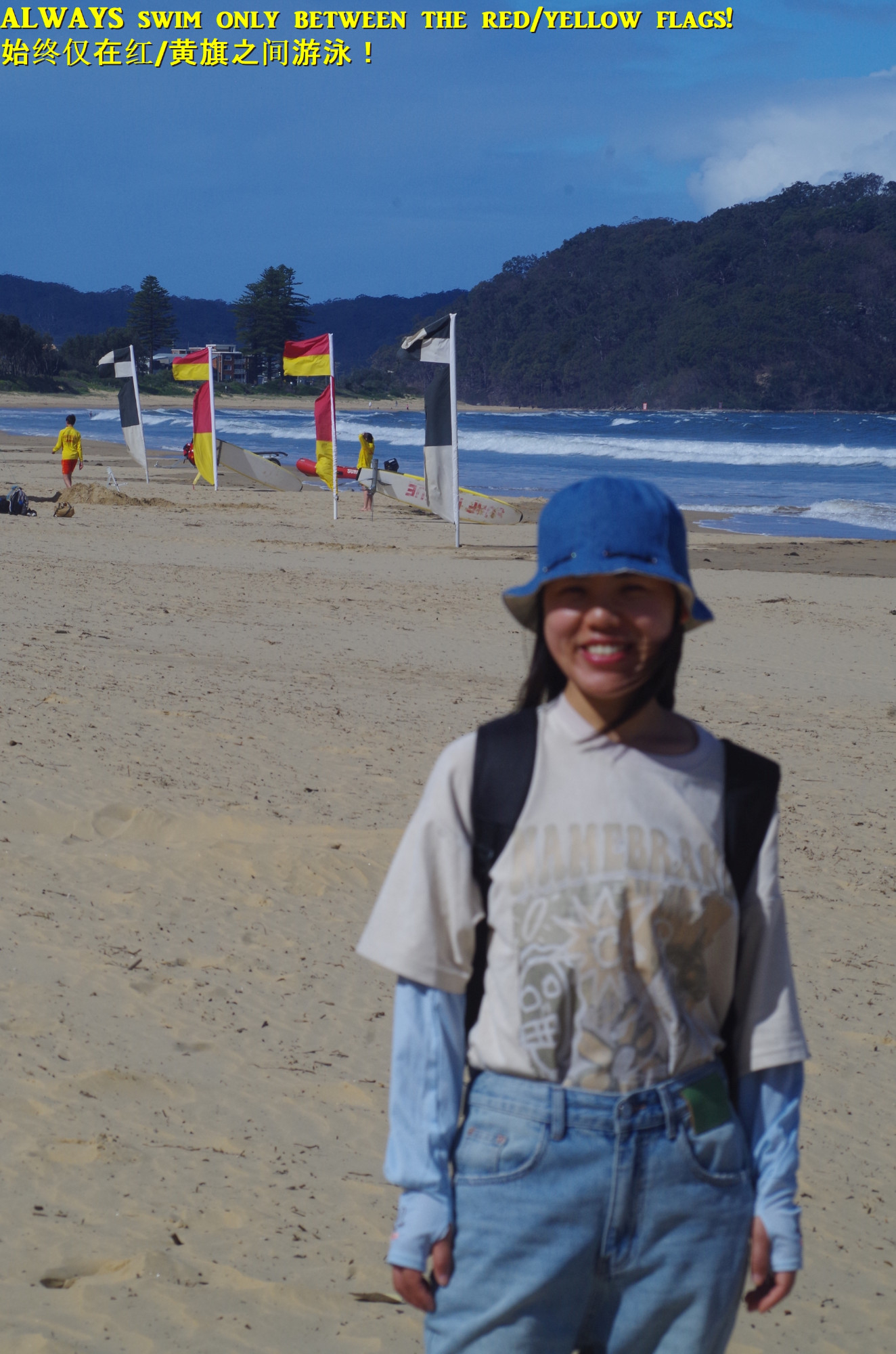
As the tide was at its peak, it was not safe now to walk back to Umina Beach via the rock platform and the rocks as waves were washing over them. Thus we exited the track at Mount Ettalong Road which we walked beside – and on for about 100 metres as for a short section there is no road verge – until reaching the south end of Umina Beach again. At this point is was still half an hour until the next bus back to Woy Woy came, so I decided that that time could be better spent by walking along Umina Beach and exiting near the Surf Lifesaving Clubhouse to get to another bus stop at Umina Public School. I pointed out the red/yellow flags to couple of the students and explained that they show the area between which you must swim at a beach.

The bus arrived at Woy Woy with 8 minutes before my train came but 20 minutes before the next Sydney train came, so we didn’t have to rush.
It was a good walk which Yessentay estimated was 11km, so not much shorter than the 13km walk we had originally planned (but this one was on an easier track). I did have some concerns about the weather as rain showers were forecast in the morning and later afternoon. The rain did come overnight but was gone by about 7am, and no rain in the afternoon. The weather was mostly sunny with occasional clouds, and the temperature (about 20 dgrees C) was perfect for this track, but just too cold for swimming.
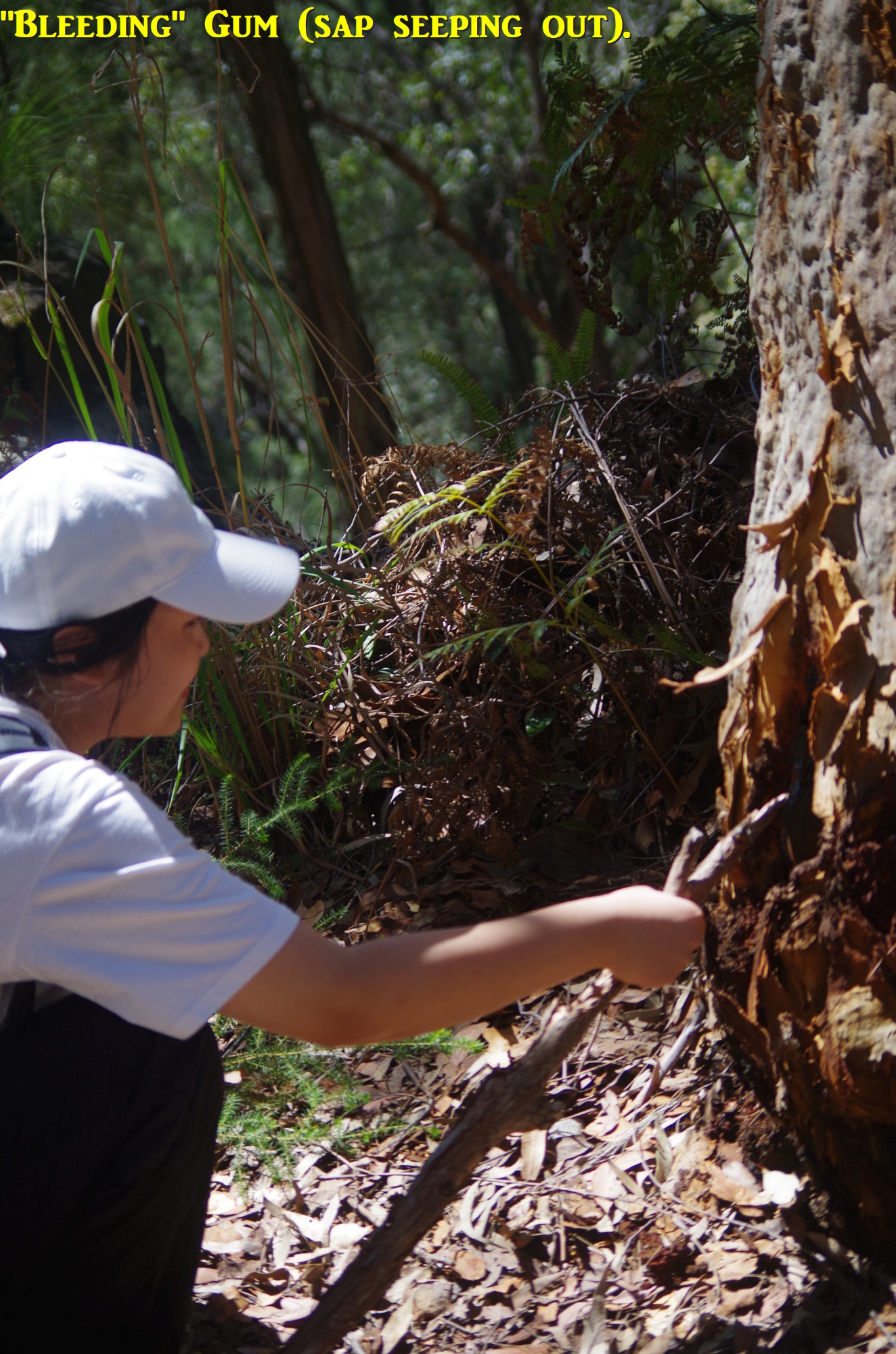
Re the Great North Walk (GNW) closure: National Parks & Wildlife decided to close it until Sunday 8th October where it crosses Brisbane Water National Park due to their concerns about the difficulties of evacuating walkers if a bushfire broke out. We saw back in September last year how difficult evacuations can be in that area when rescue crews had difficulty extracting a walker from another group who had broken her leg. Oddly the track to Pindar Cave was not closed (it’s not part of the GNW) but past experience shows that because it is rather overgrown and overhung with branches, walkers can get quite wet walking there after overnight rain, even on a clear sunny day. And speaking of bushfires, my last “photo” reminds everyone that care needs to be taken with campfires on walks now that the bushfire season has arrived. Some National Parks will have a ban on wood fires until next April (Brisbane Water NP is one of them).
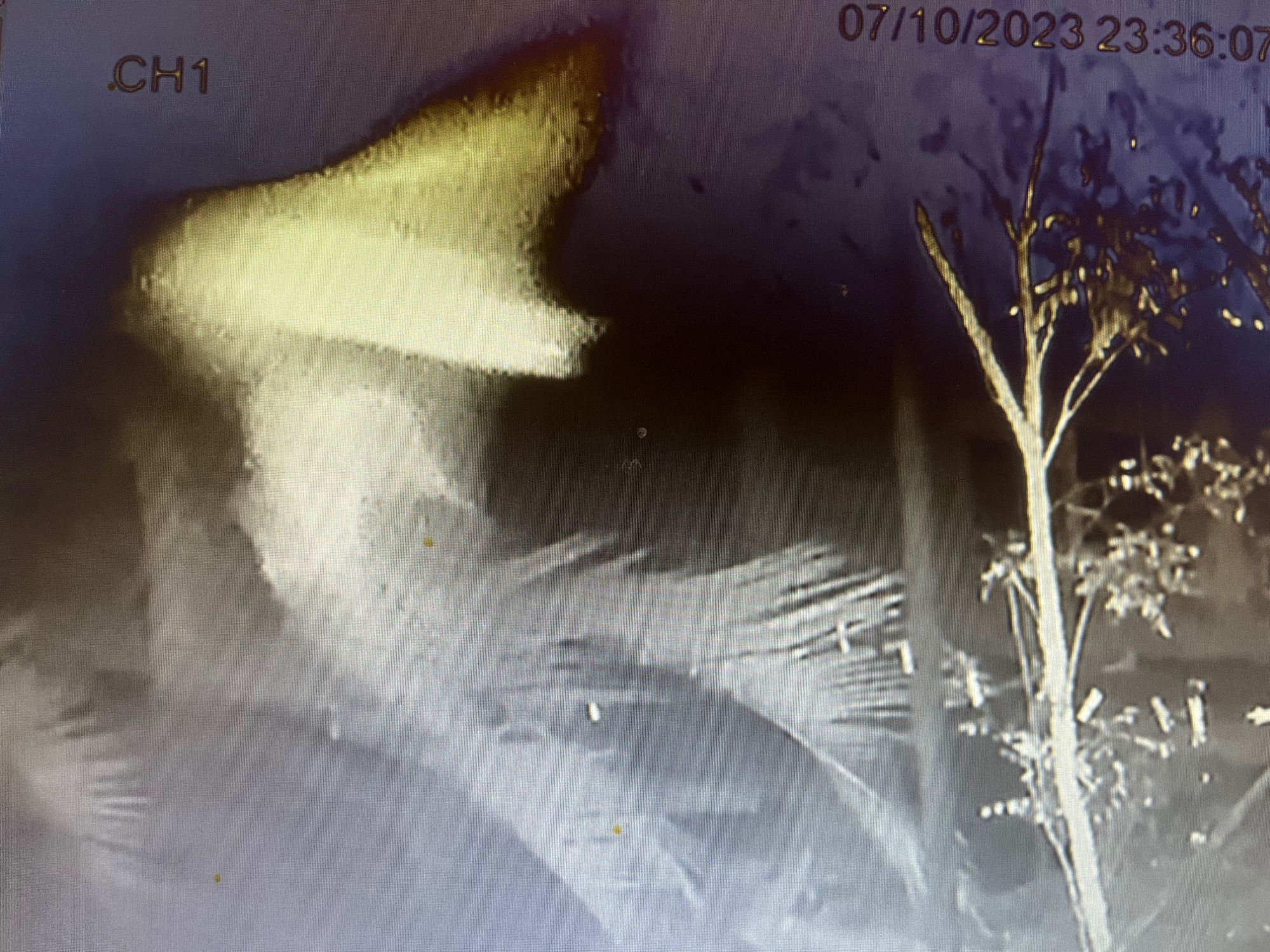
The second last photo shows a micro bat flying around under my house the night of the walk. They fly very fast and clear images of them are difficult to obtain (it is flying from left ro right in the Photo). These little bats are insectivorous and are common but rarely seen.
I noted two “no shows” and I noted that they both were members who had incorrectly answered my original question about which train carriage to get out of at Wondabyne (had we gone there).
Bruce Stafford..