Date: 23/10/2022
Trip leader: Bruce Stafford
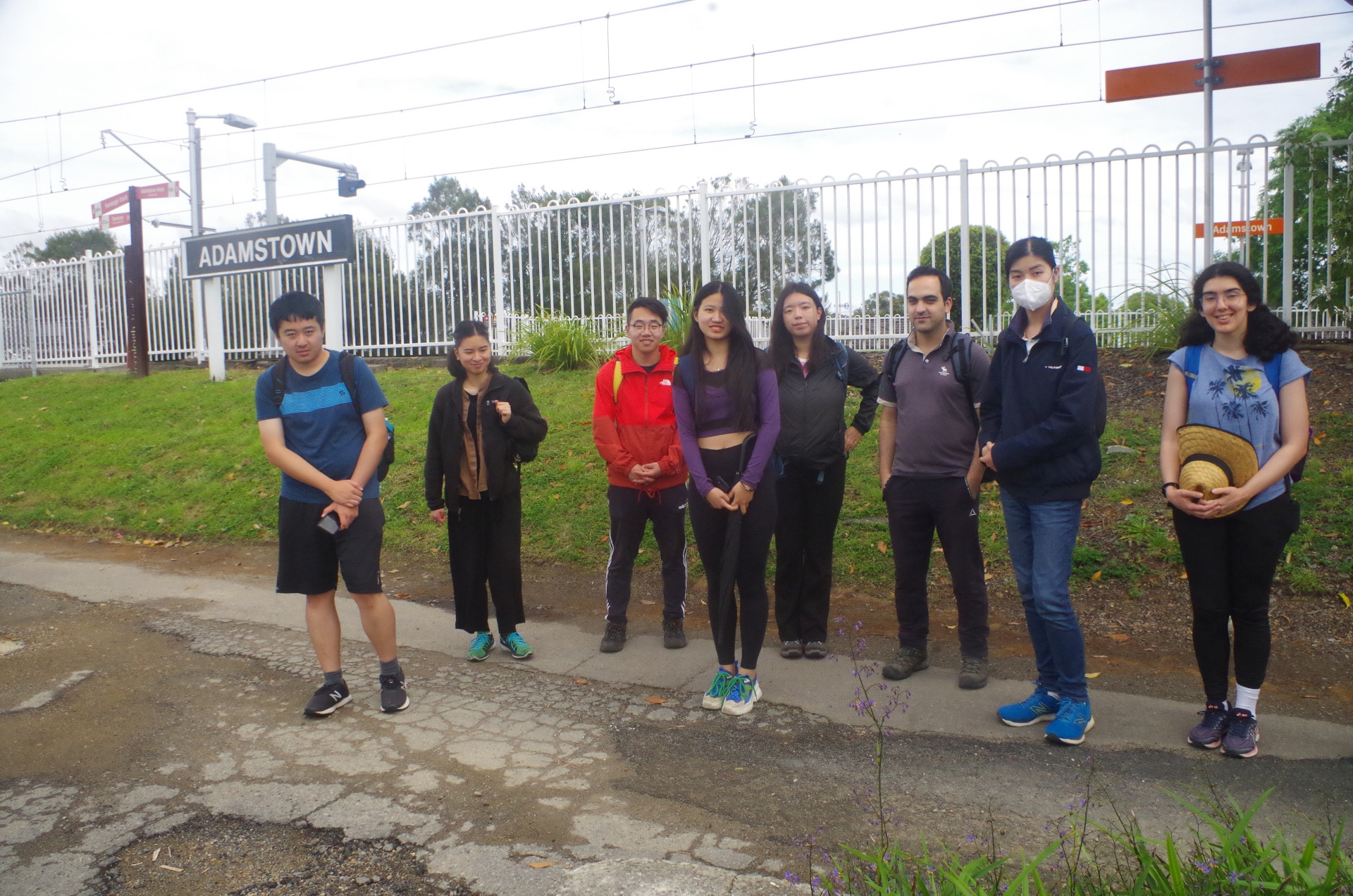
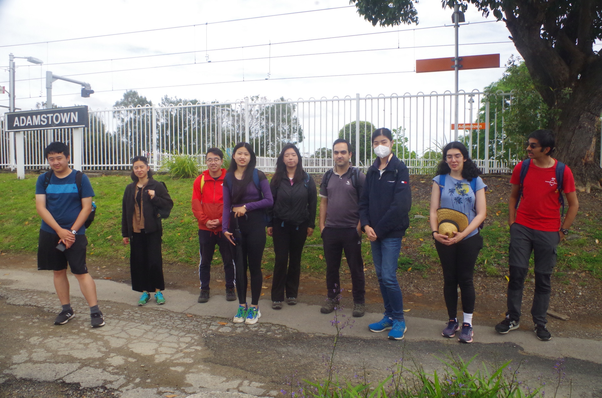
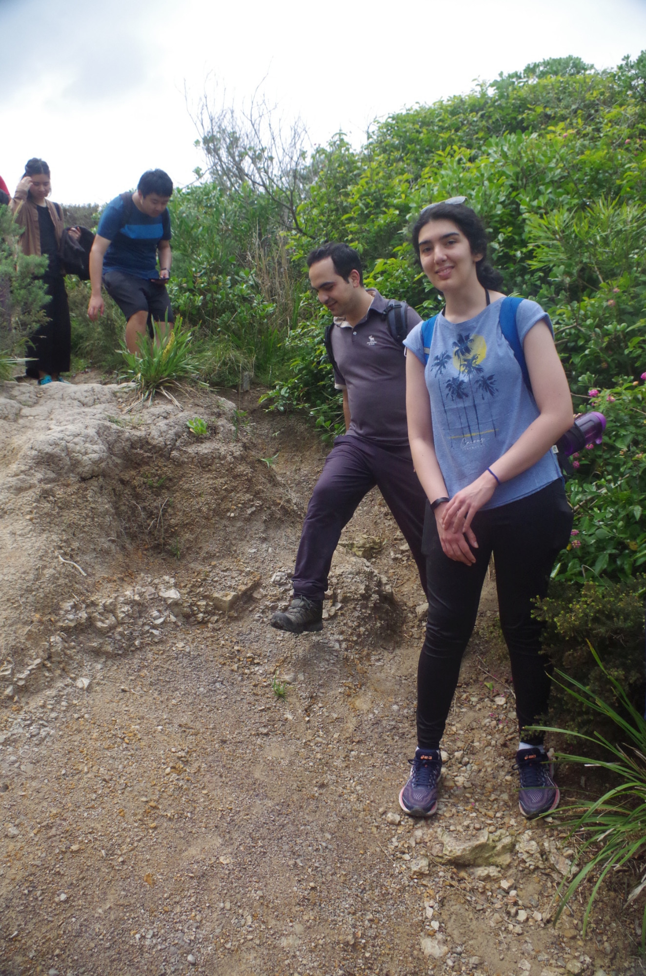
Party: Andrew, Cecilia, Diana, Hassan, Jenny, Kaiyang, Richard Yanzhou, Ruidi, Vyom, Xufeng, Yuan
Combined Hike & Bushwalk: Newcastle – Fernleigh Track and Glenrock Conservation Area.
First of all, thanks to this group who took a chance with the weather to come, and got rewarded.
I was concerned that I had made a mistake in changing the day of the walk to Sunday instead of the previous day, as the rain radar showed Saturday as being mostly free of rain in the Newcastle area, but a rain front was approaching overnight. And on Saturday night my chooks roosted inside their house instead of on top of it, expecting heavy rain. As it turned out, by 7am the rain radar showed that rain had cleared from the Newcastle area, and apart from a few almost inperceptable drops in the early afternoon, did not return for the whole day. This was not the case in Sydney and the Central Coast though; as I walked to my own station I was hit by a light rain shower, but as soon as I reached the shelter of the station, yes, you guessed it, the rain stopped!
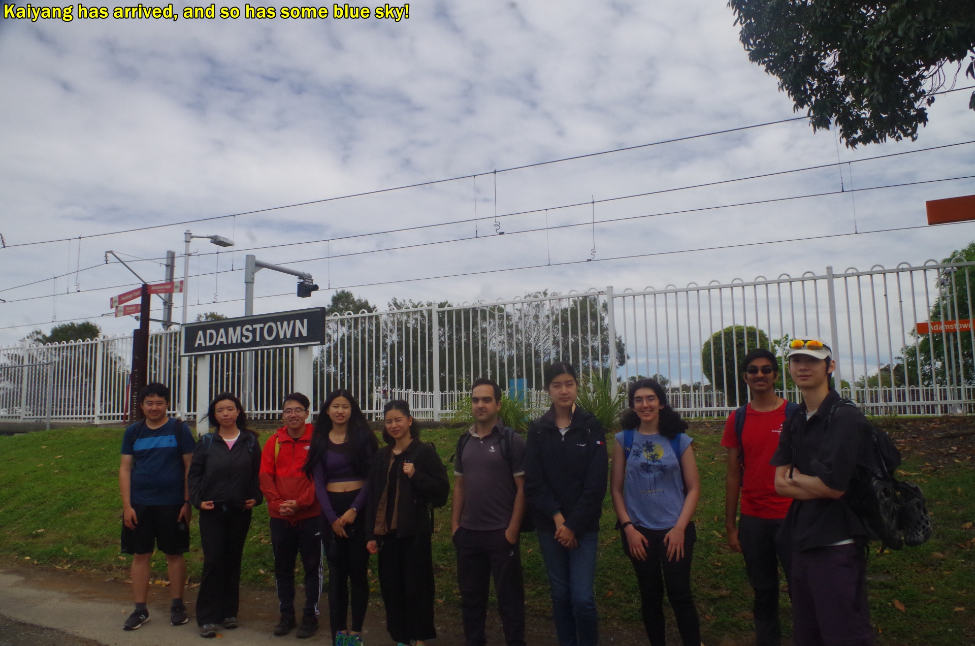
Anyway, when the train arrived at Adamstown, everyone got off – except one. Kaiyang called me and said he got carried on to Broadmeadow, the next stop, and because it is a major station there were plenty of taxis and Uber available there. So he caught one to take him back to Adamstown Station for $8. He got back quickly, and in any case the rest of us had to wait a few minutes at the Adamstown level crossing for another train to pass, so very little time was lost.
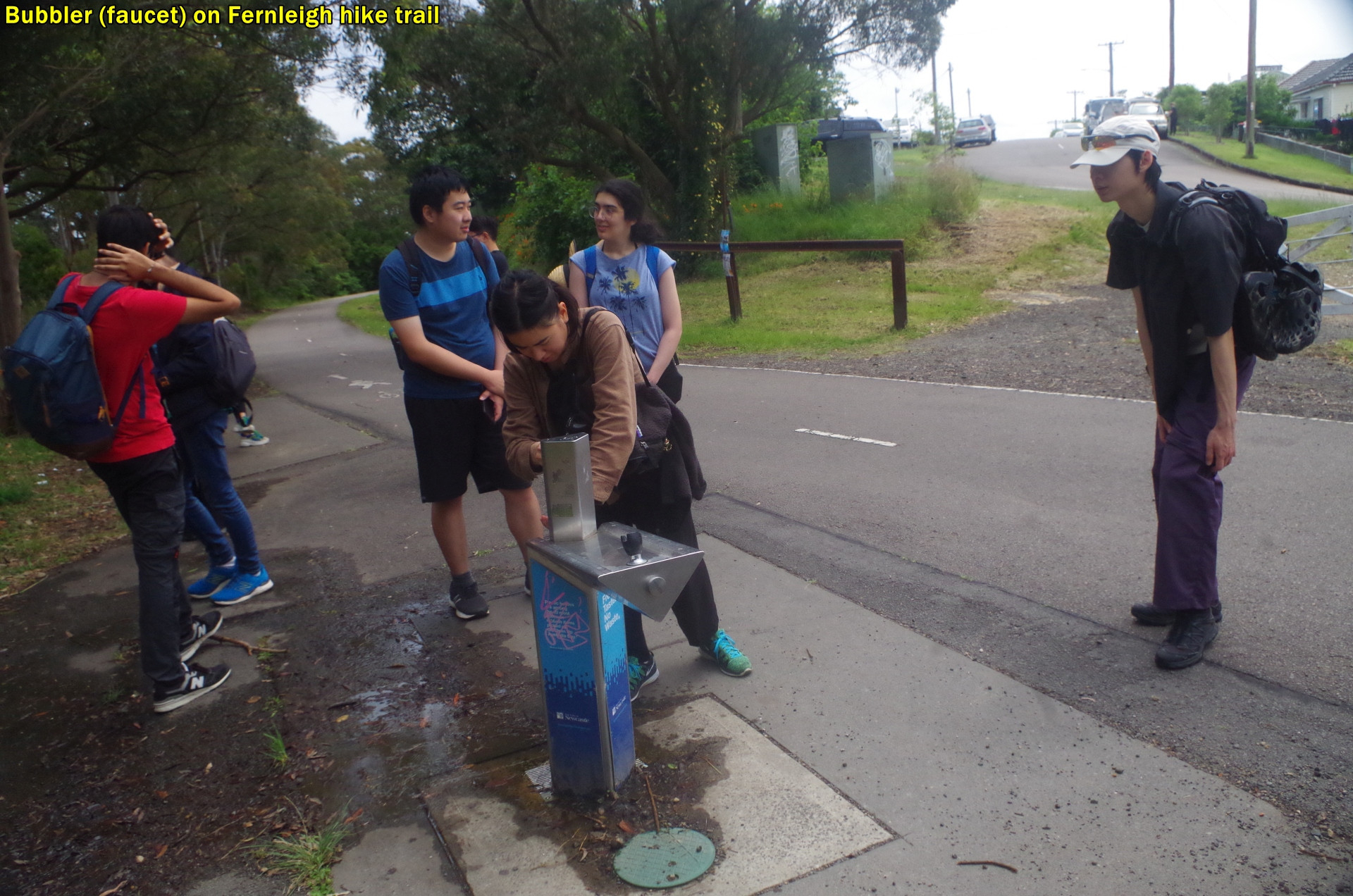
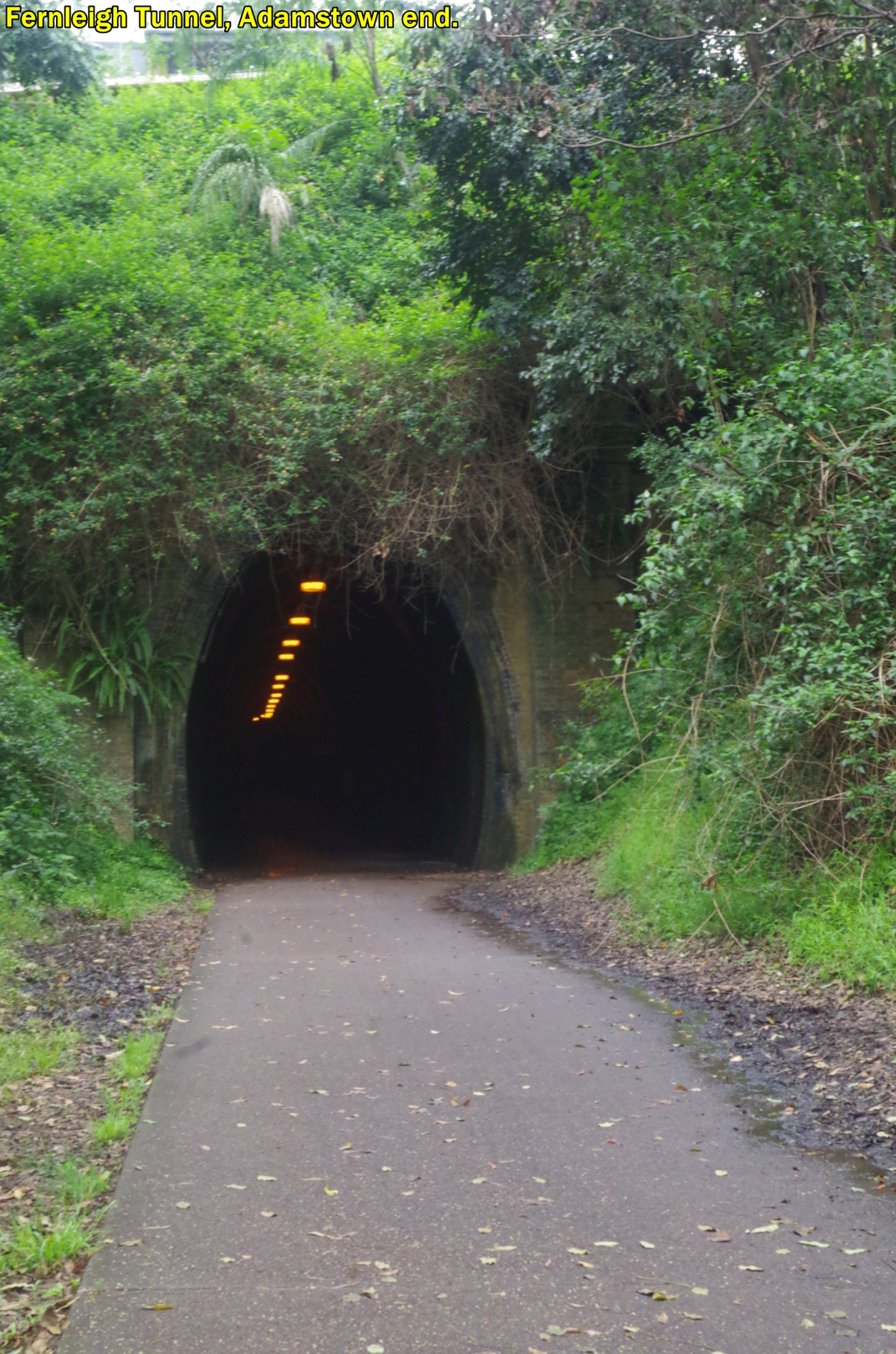
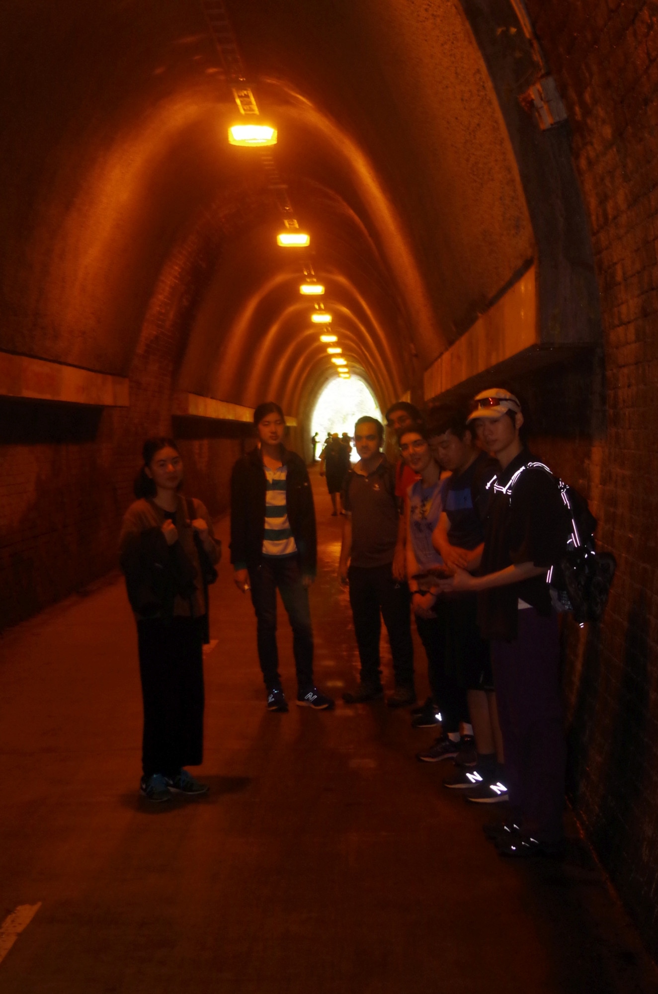
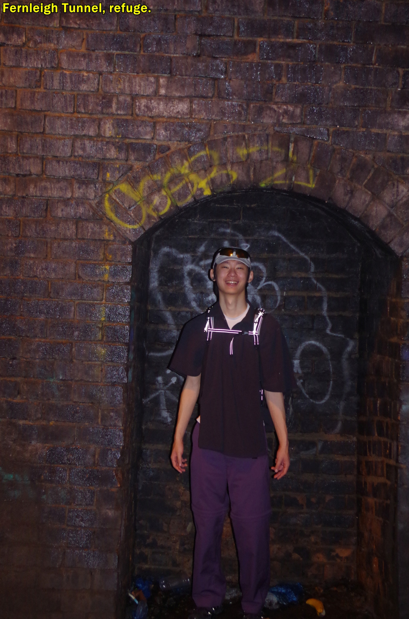
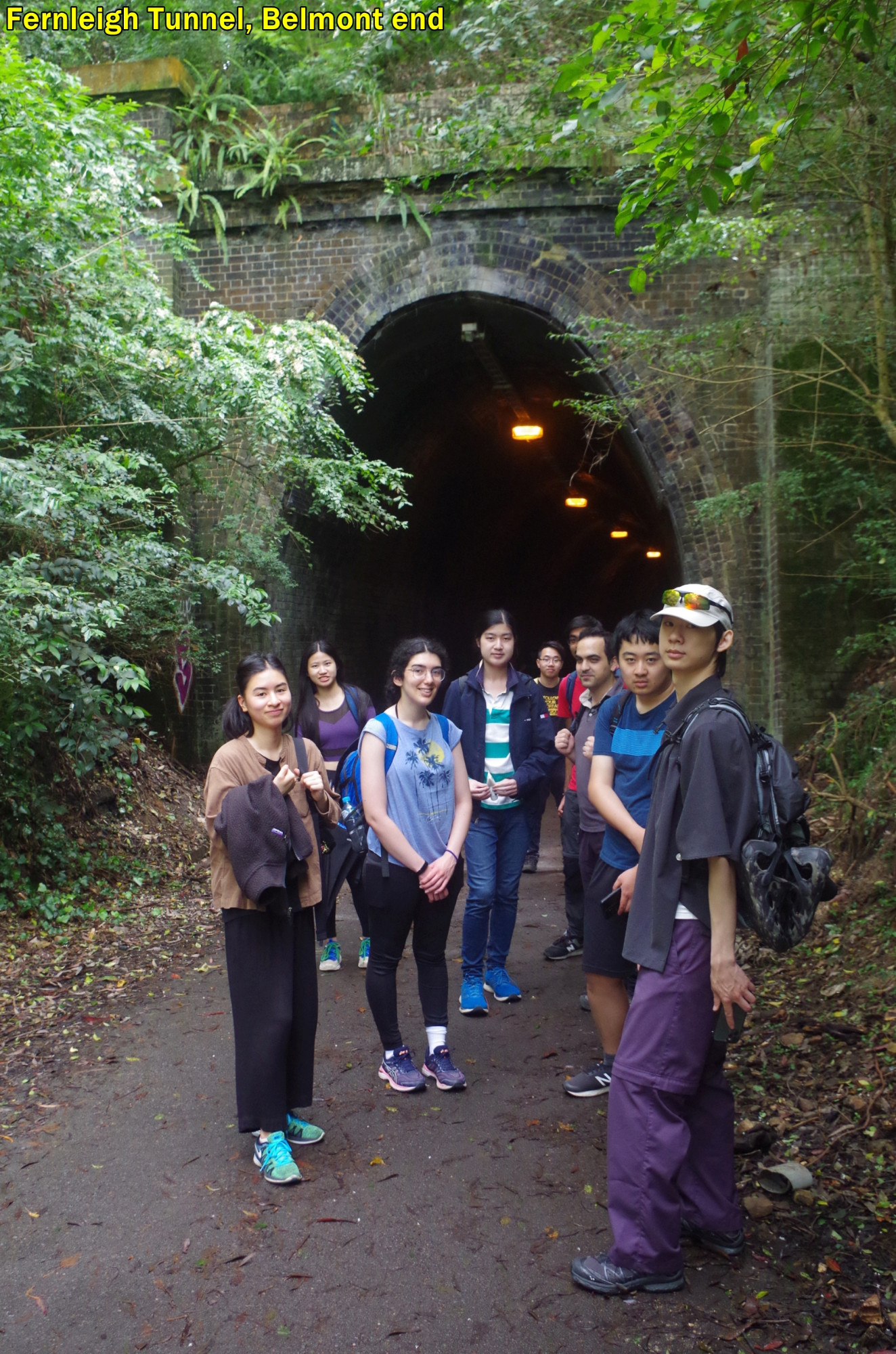
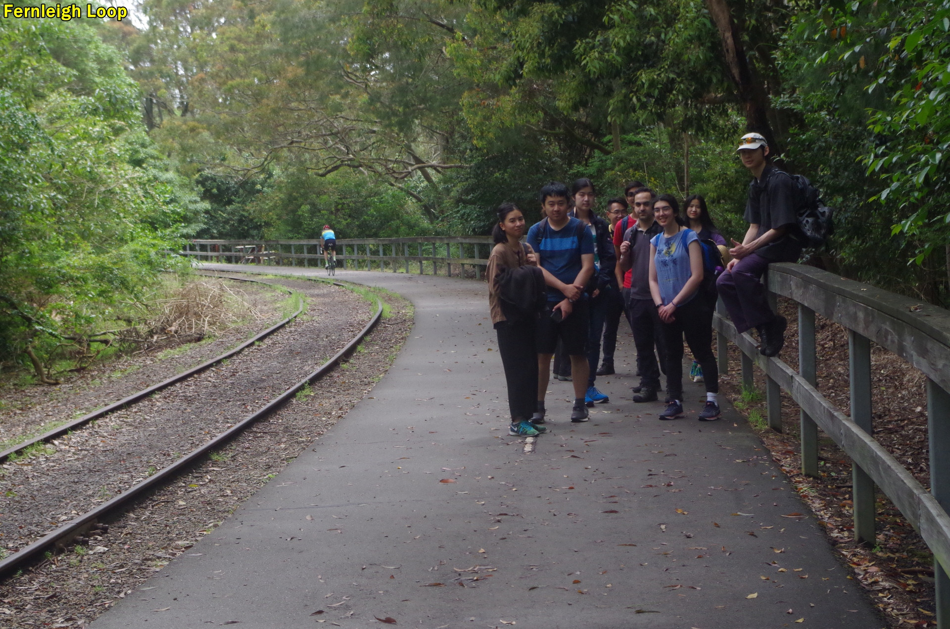
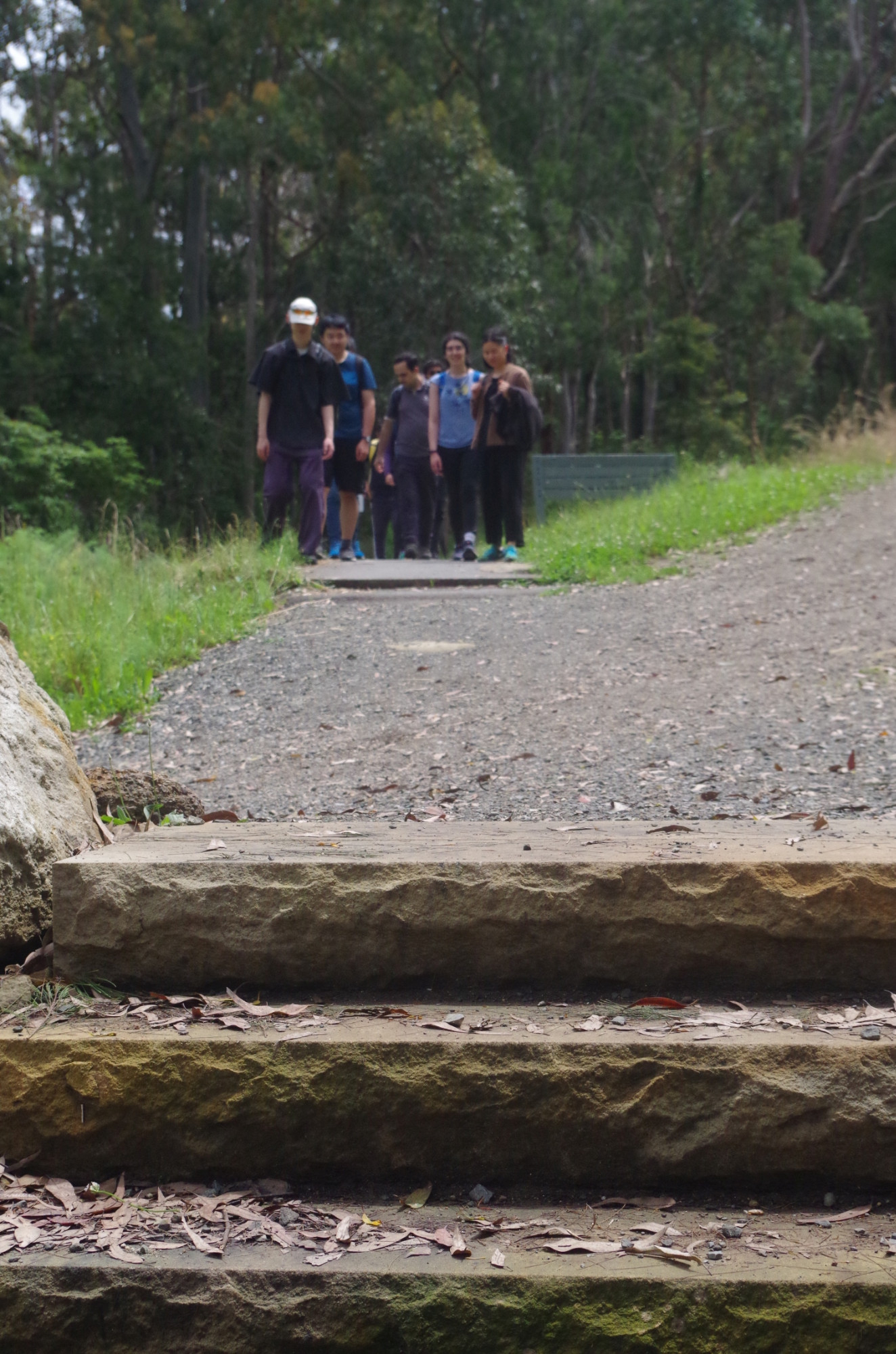
By that time the clouds were thinning and some blue sky was starting to show. With this promising sign, we set off for the start of the Fernleigh Track, which is actually a rail trail along an old private colliery railway as far as Belmost, 13km away. We were only going as far as Burwood Road, 3.6km along. Because it is a paved two-way bicycle and walking trail on a steady 1 in 40 gradient, and has bubblers (faucets in U.S. English) and at least one cafe near the track, the walk on this section qualifies as a “hike“. About 2km along we came to Fernleigh Tunnel, 181 metres long, and Kaiyang posed in

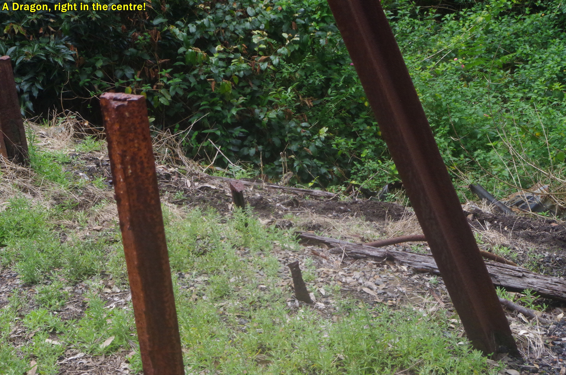
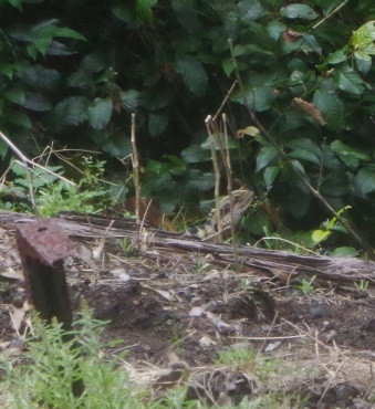
one of the tunnel refuges (placed every 50m in case you were inside the tunnel when a train came). Shortly after we saw the only animal on the walk, a dragon (Eastern Water Dragon), although I had spotted a wallaby beside the rail line near Dora Creek while on the train trip up. By now also the sun was out and the air was getting noticably humid and steamy. I told the group that the reason why this might feel like the Sub-Tropics, is because here it is the Sub-Tropics!
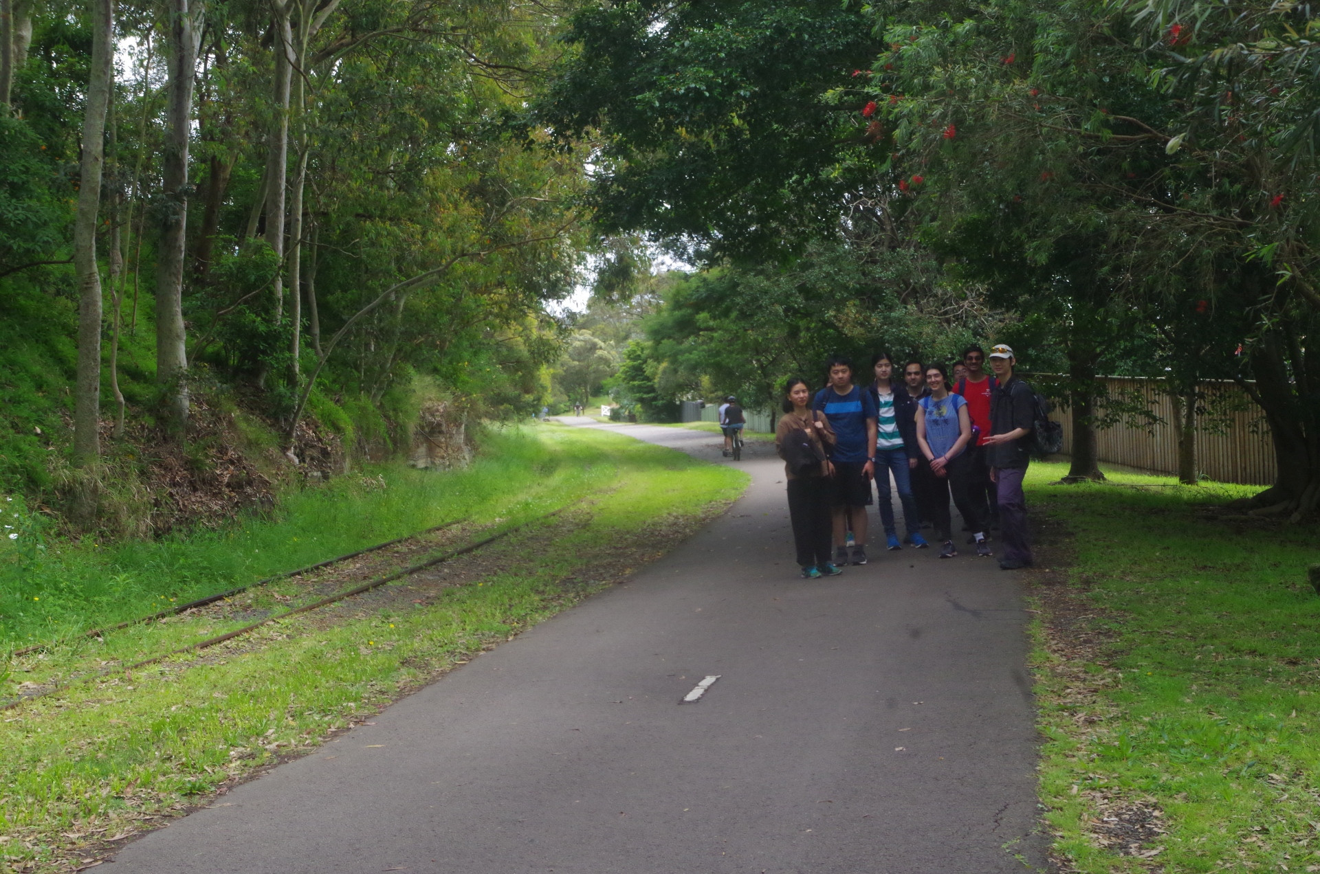
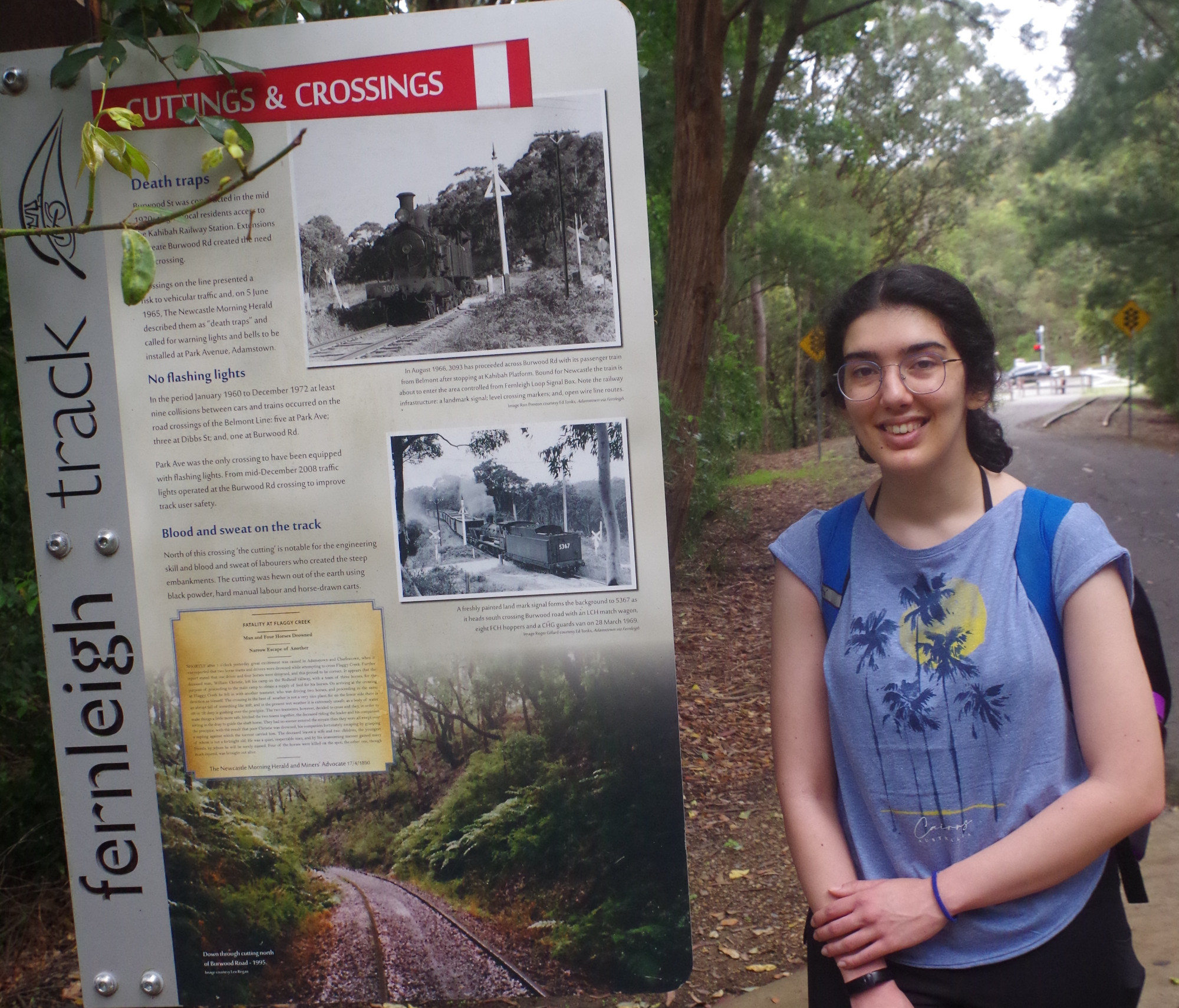
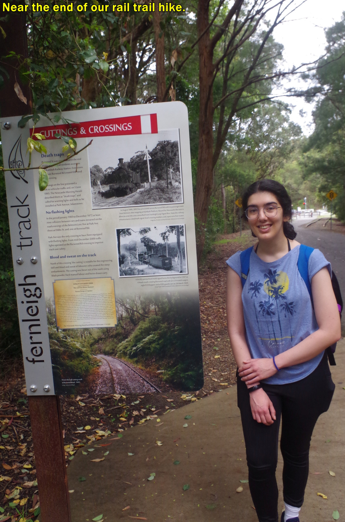
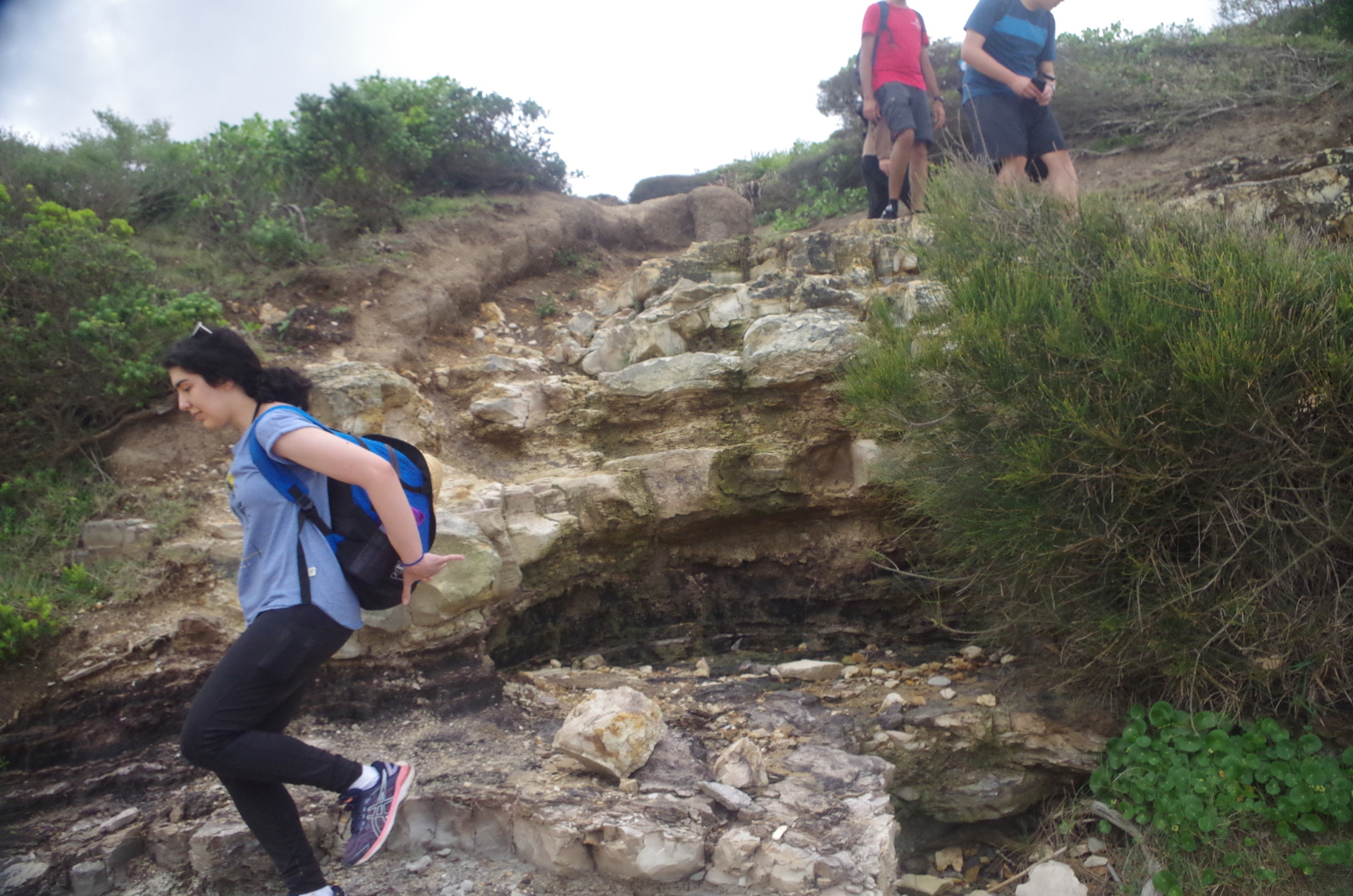
Eventually we came to the Track’s history sign (see photo with Cecilia) and then Burwood Road. Going left along Burwood Road for about 100 metres we came to the start of the Yuelarbah walking tracks in Glenrock State Conservation Area. I explained to the group that the hike ends here, which puzzled Hassan who thought we would go home now. No, the hike ends here but the bushwalk now starts. Actually I was wrong as we used the walkway which is also wheelchair accesible for another 700 metres, instead of using the Management Trail which would require a fording of Flaggy Creek which would be up after all the recent rain (the walkway crosses Flaggy Creek via a bridge). Shortly after the bridge the bush track starts and our walk becomes a bushwalk.
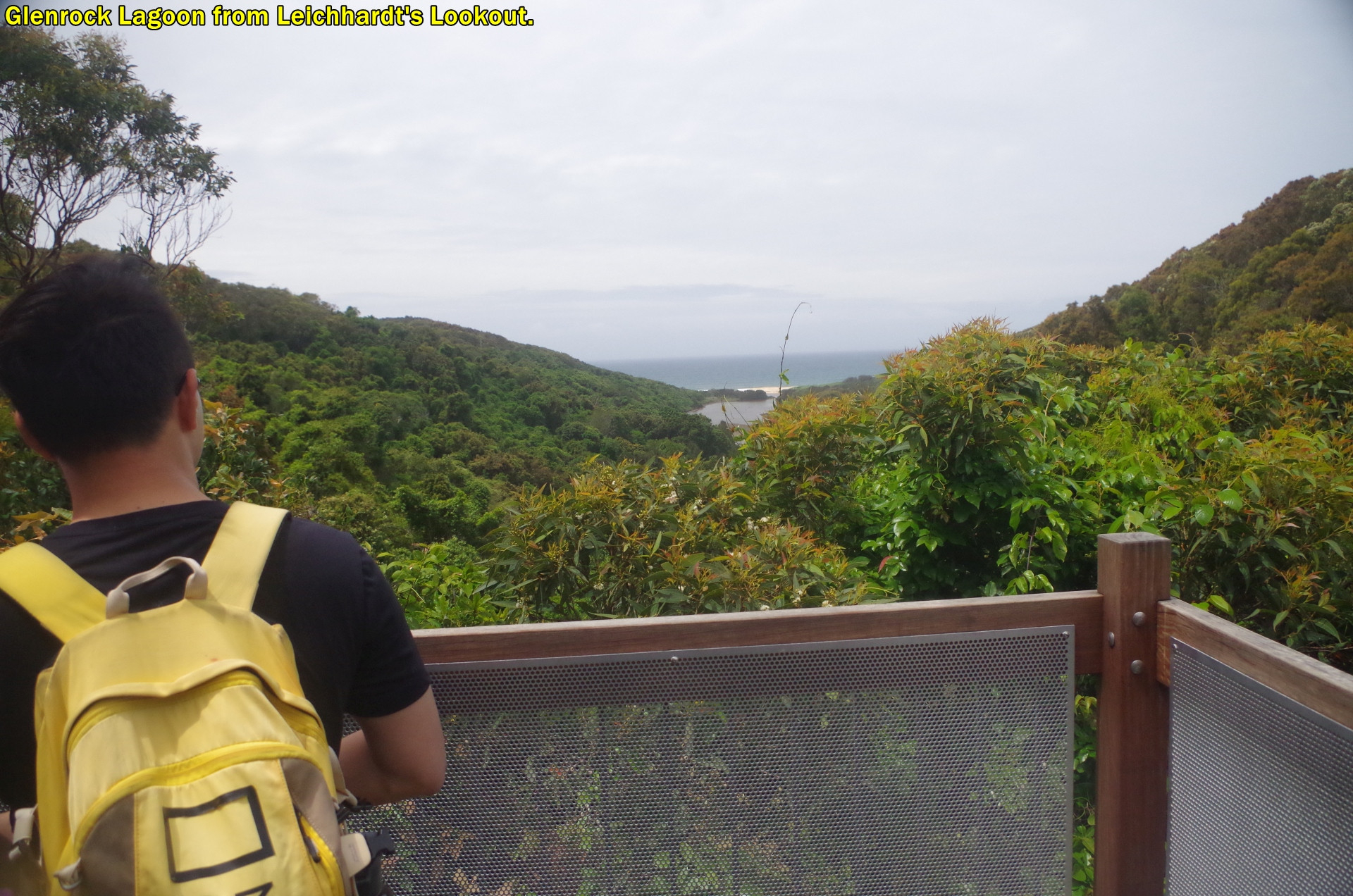
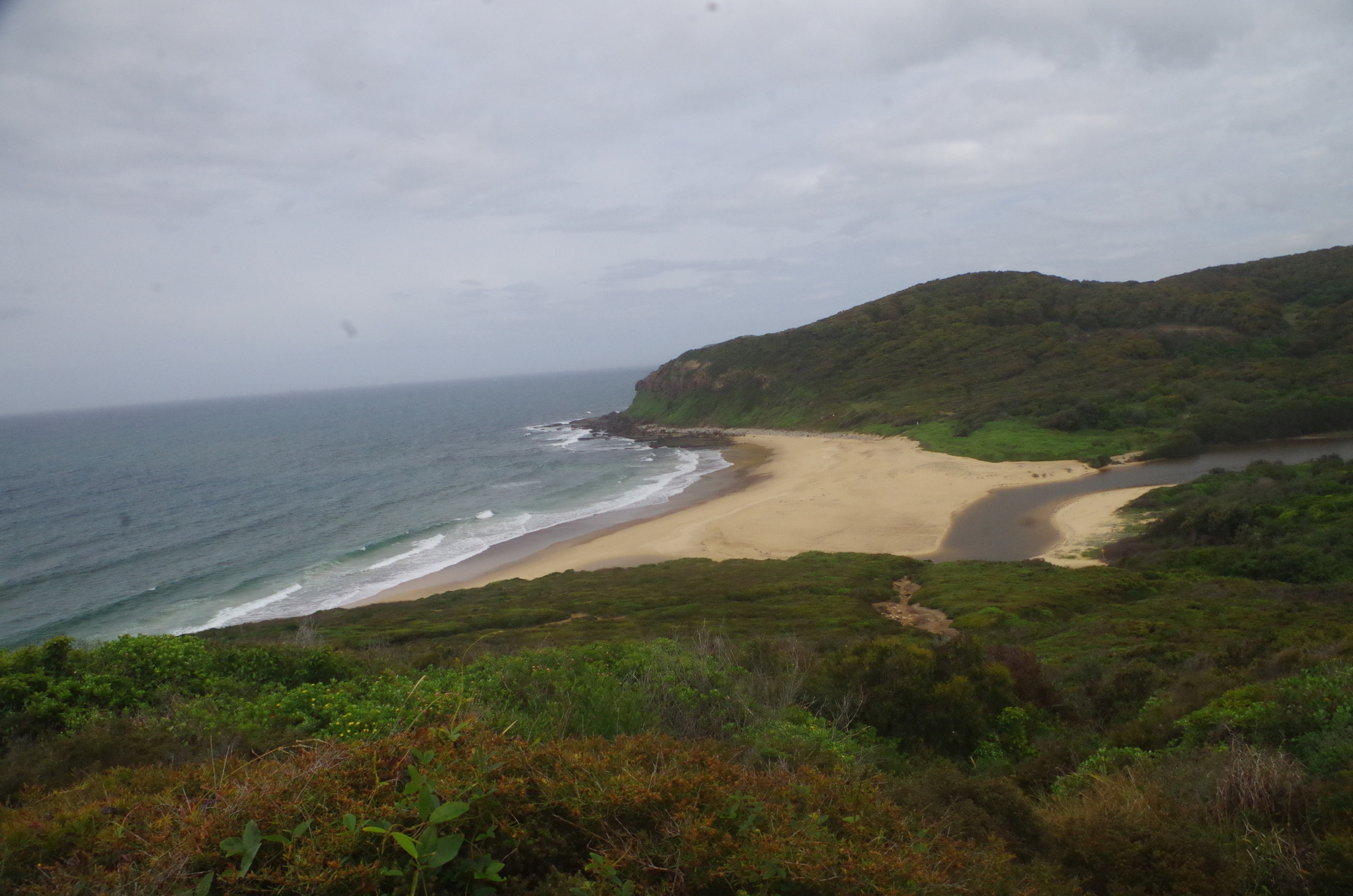
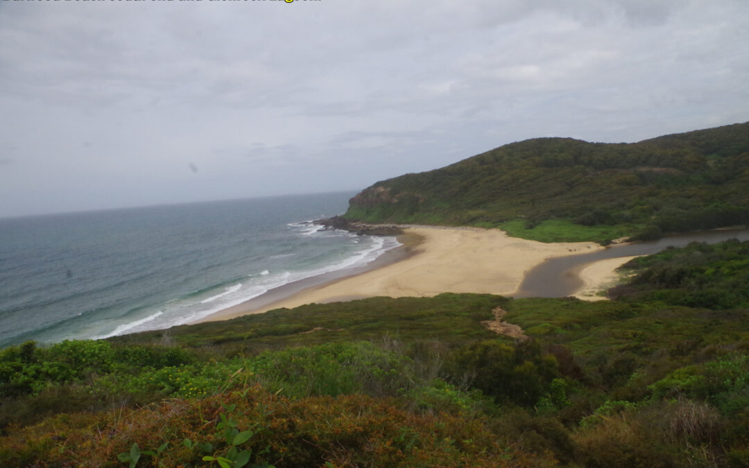
The track follows the course of Flaggy Creek and crosses it on a bridge before reaching Leichhardt’s Lookout. Here we had a short break looking at the view towatrds the sea and Glenrock Lagoon. From here though I decided not to follow the Yuelarbah Track but divert onto the Yuelarbah Management Trail, which as the name suggests is actually a fire trail. The reason was that the Yuelarbah Track here gets quite muddy after prolonged wet weather and comments from other passing walkers confirmed its current muddy state. The management trail is at a higher level than the Track but both lead to Burwood Beach eventually. This is one of the features of this walk that every time you do this walk there are alternate routes always available.
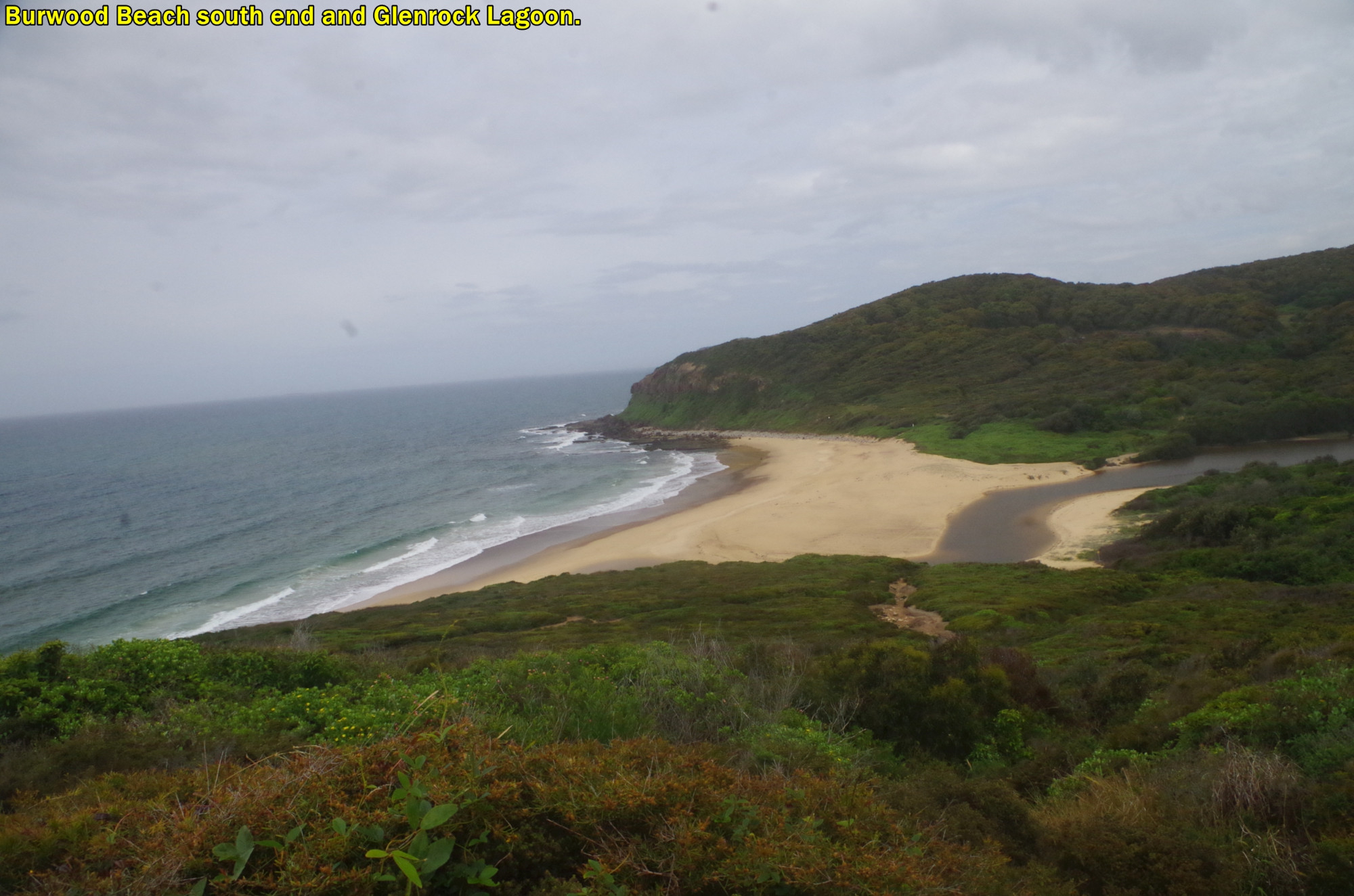
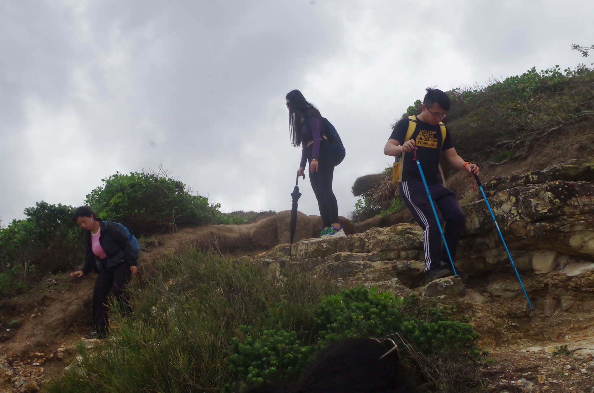
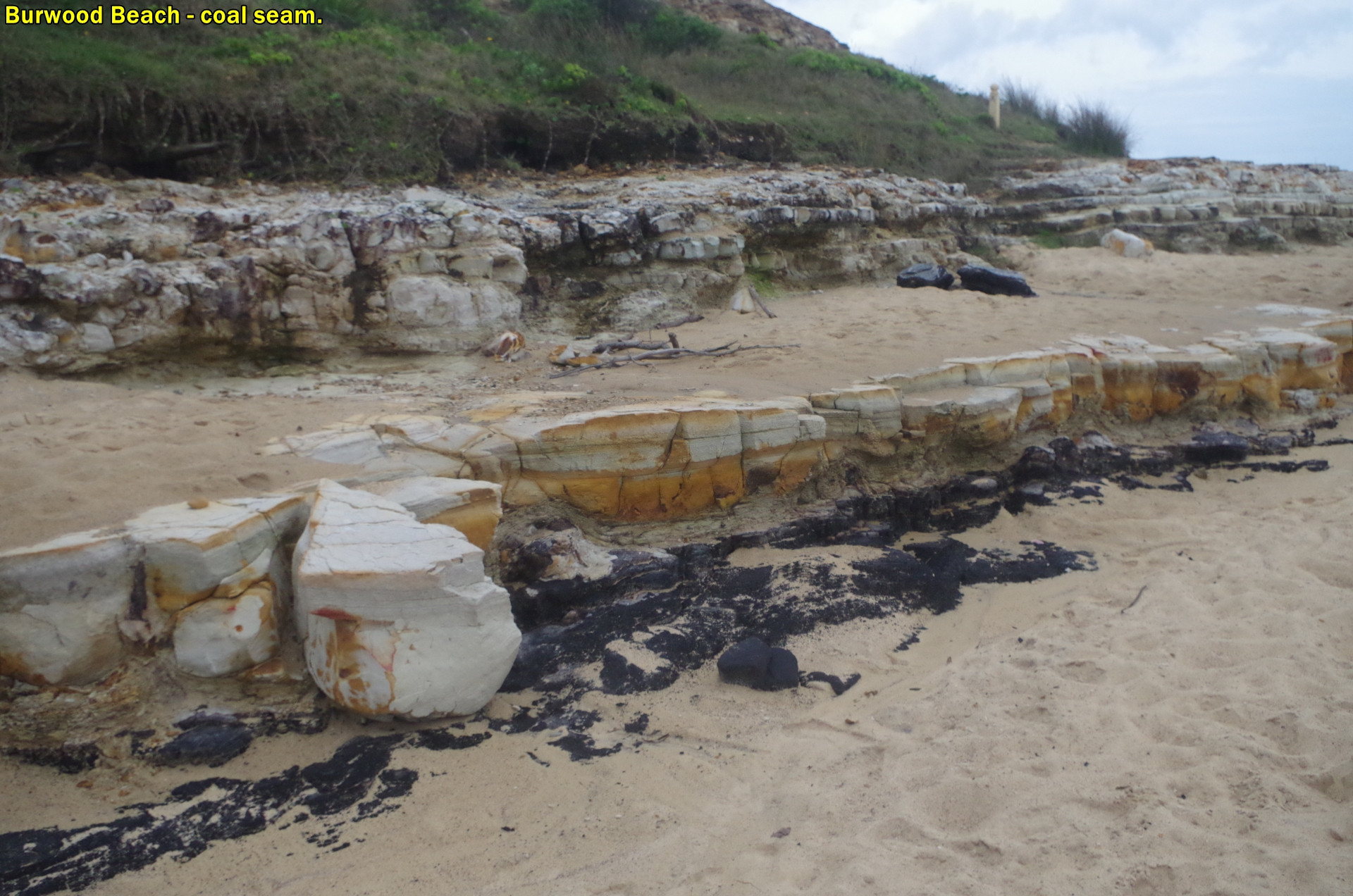
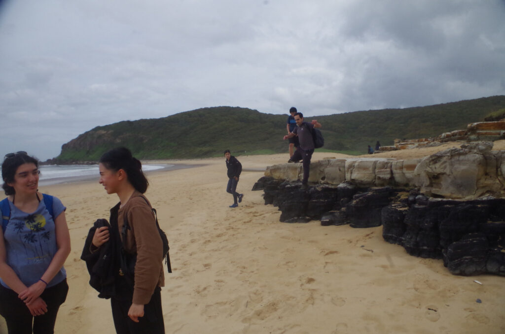
After passing through open forest and being “serenaded” by numerous birds, including Bell Birds and white cockies (Sulpher-crested Cockatoo), we came to a side track which led down to the south end of Burwood Beach and Glenrock Lagoon. Richard expressed reservations about going that way, as he had a past experience of wading through waves at the base of the short cliffs on this part of the beach. I assured him that that wouldn’t happen this time as we were there just before low tide, and it would be OK. So down we went along a badly eroded track (probably made worse in the recent rain storms), and down a little rock scramble to the beach itself. Sure enough, the sea was nowhere near the clliffs. A feature of the cliffs here is that there are metre-thick coal seams in the cliff face (see photos).
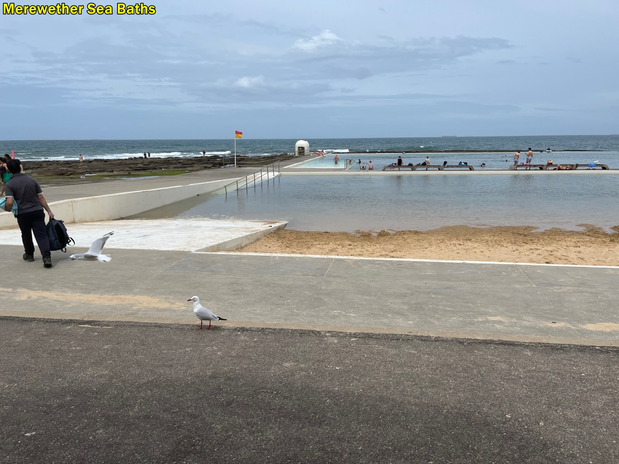
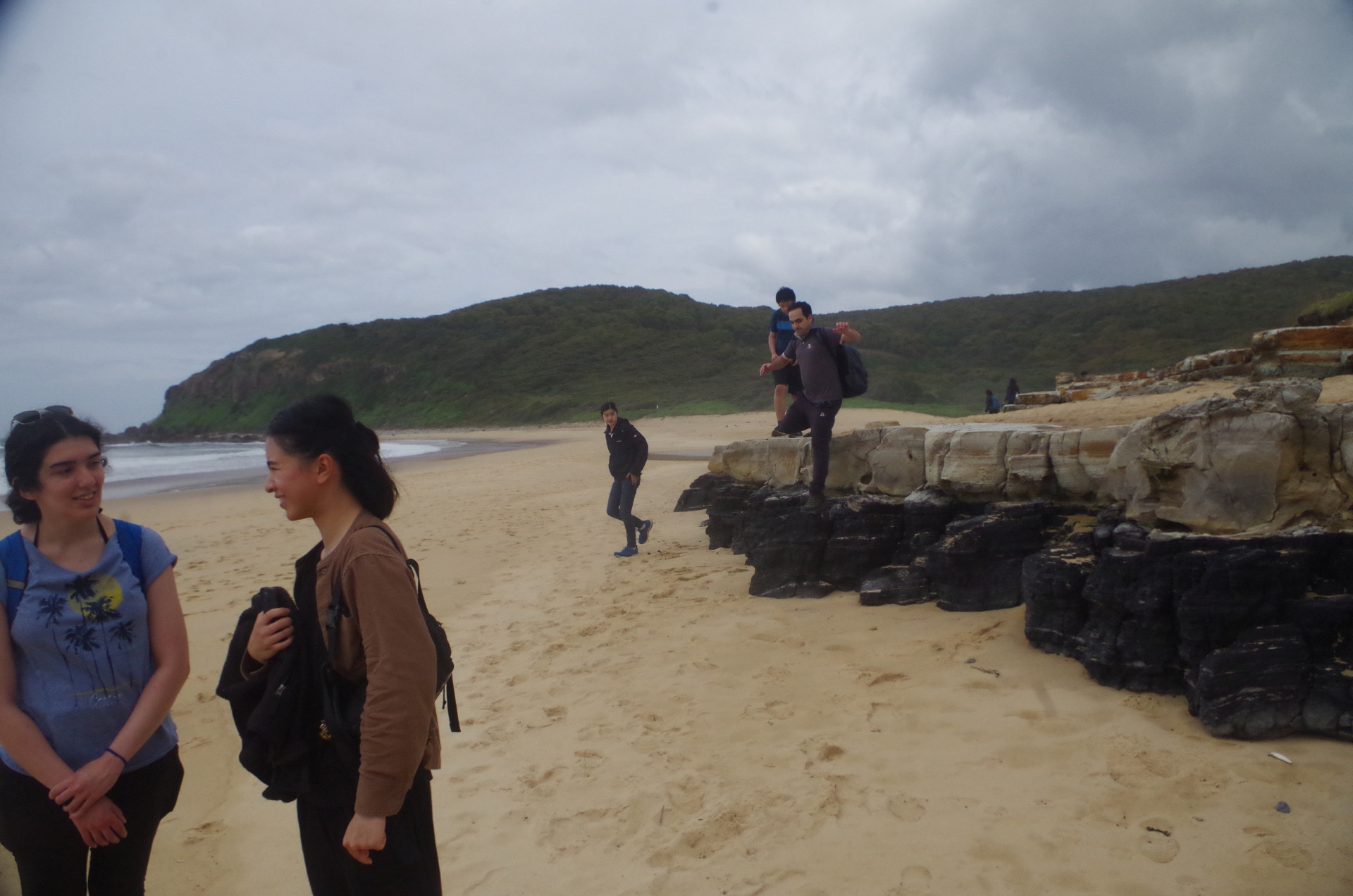
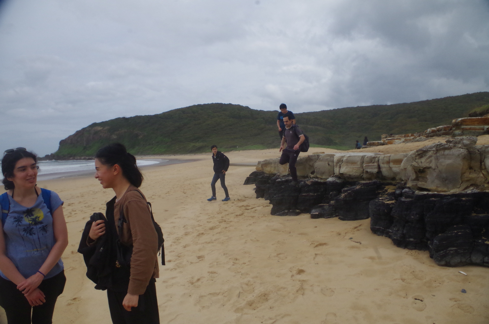
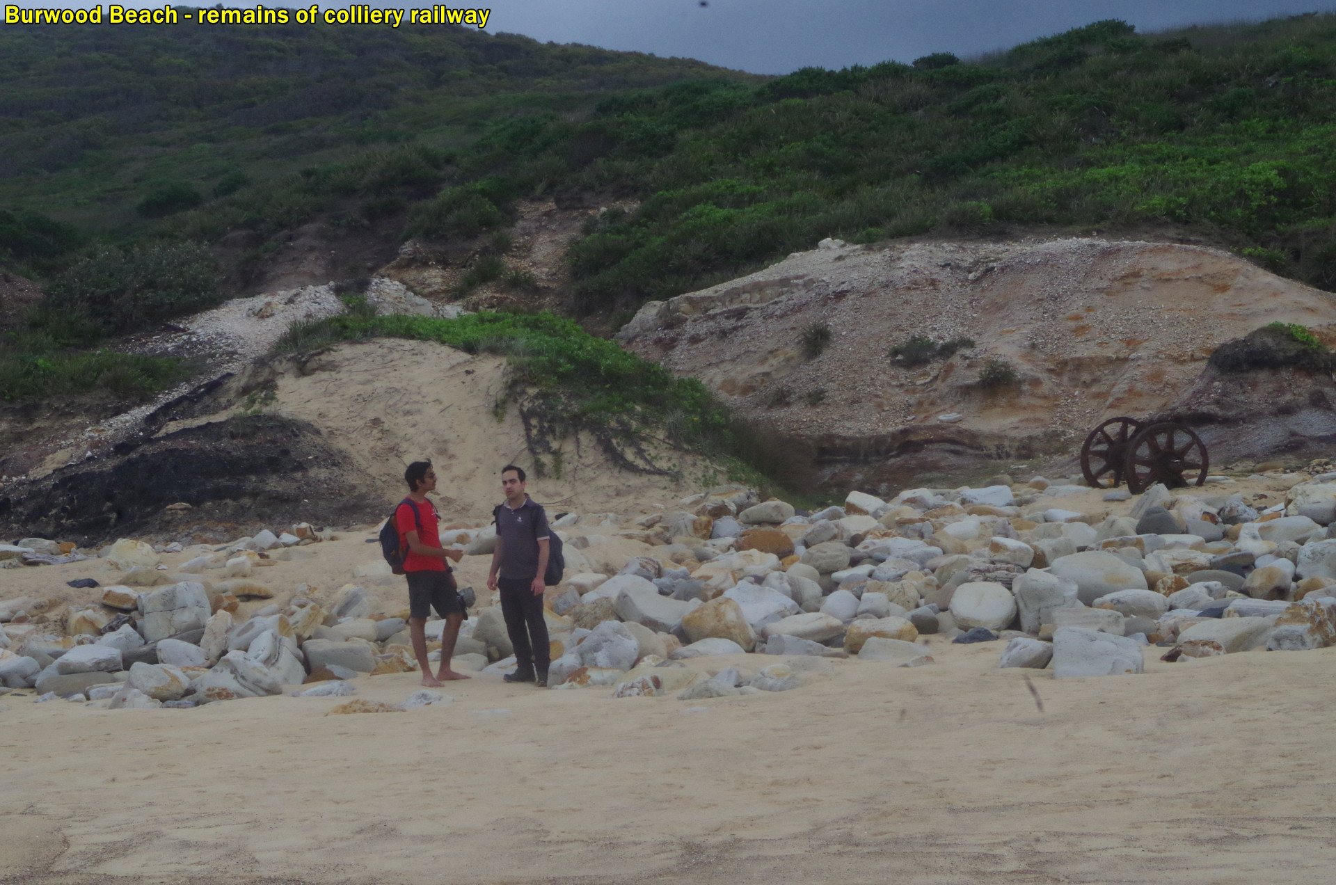
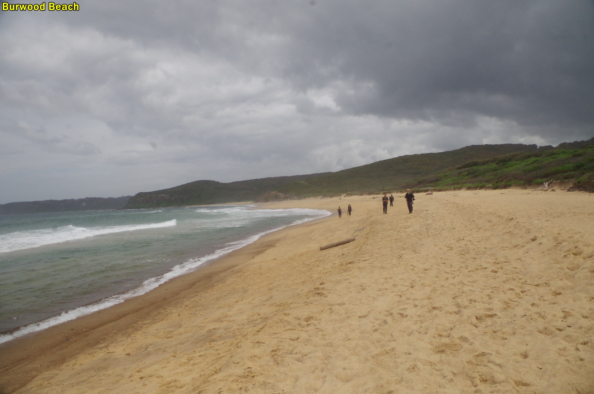
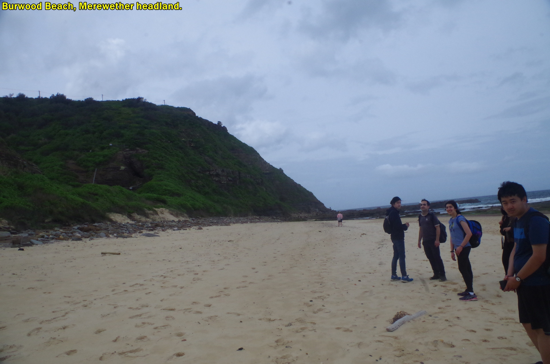
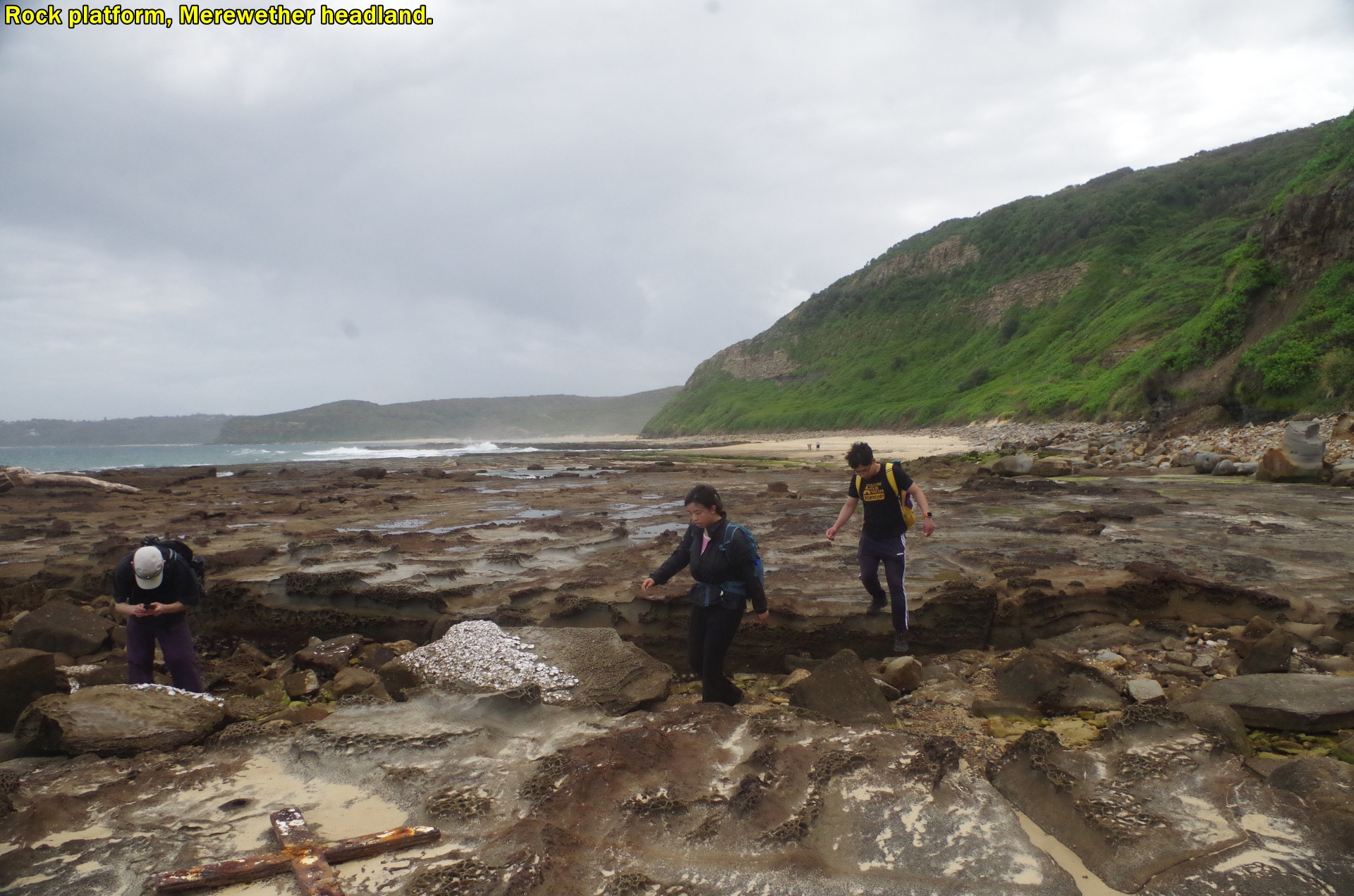
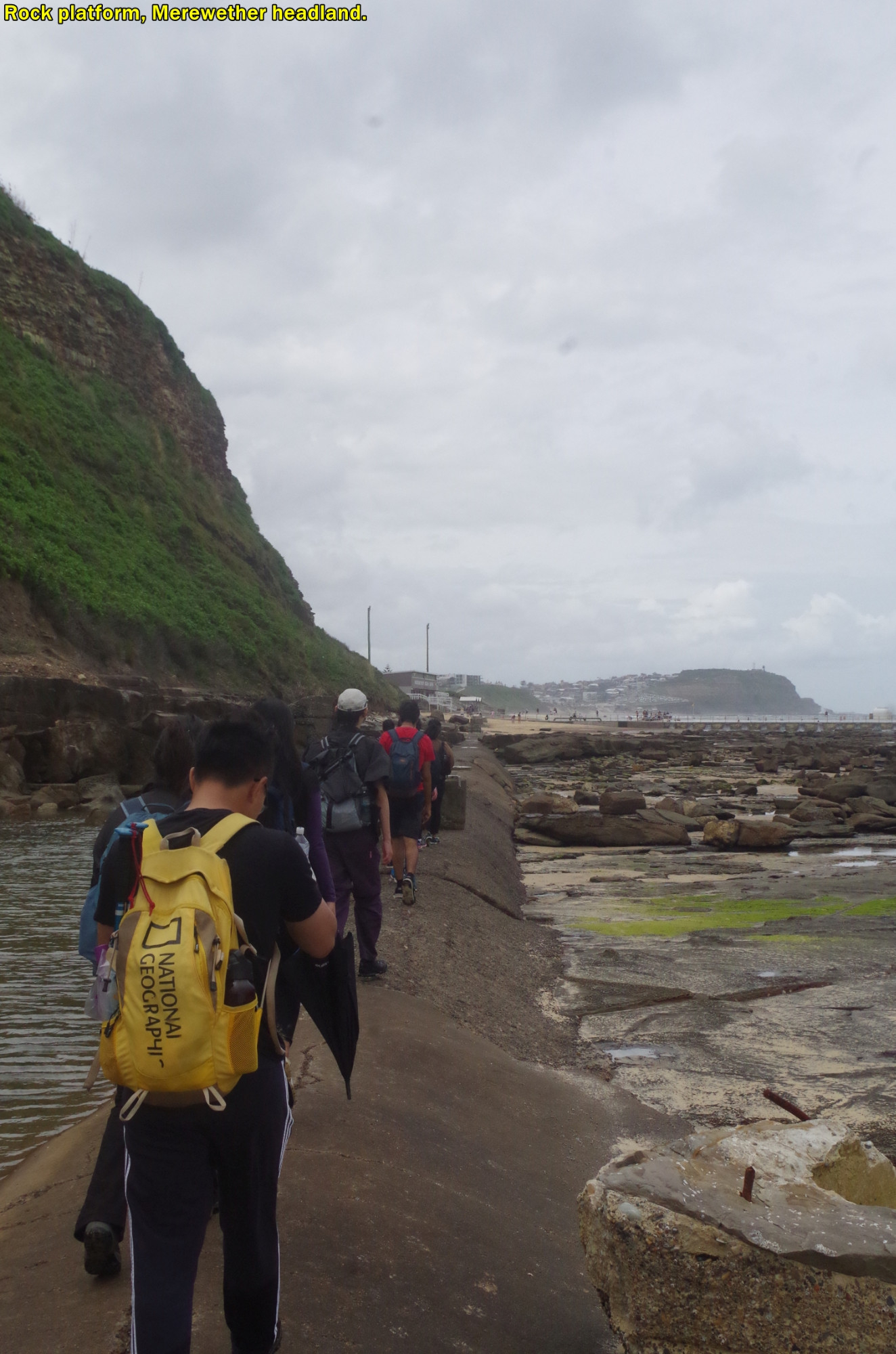
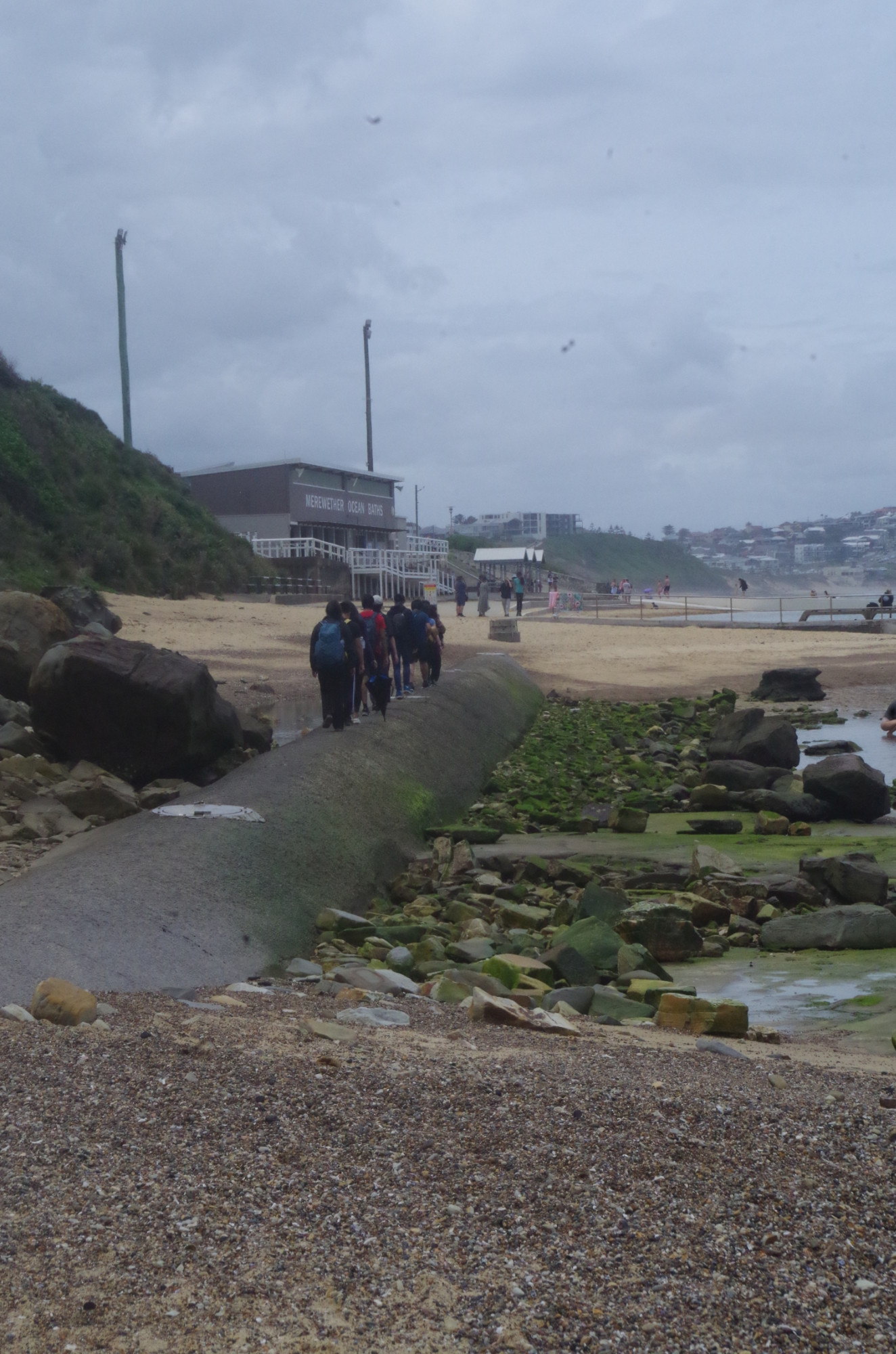
So we set off along the beach, and noted some of the industrial archaeology to be seen there in the form of the remains of the old rail line, and old wagon parts and wheels. By this time it had become cloudy again, and at one point we felt a couple of rain drops, but very very light and brief. Even so, I considered that having lunch on the beach might get us caught in rain (there’s almost no shelter there), so I decided to press on to Merewether Beach where there are shelters for lunch. As the tide was low and the sea swell was only slight, crossing the rock platform under Merewether Head was safe and easy. (The rock shelf, by the way, is considered part of the Yuelarbah Track, even though there is no actual track across it).So we headed for the setas and shelter to settle down for lunch. As it urned out, those few drops were the only “rain” we got all day. Vyom and Hassan went in for a swim.
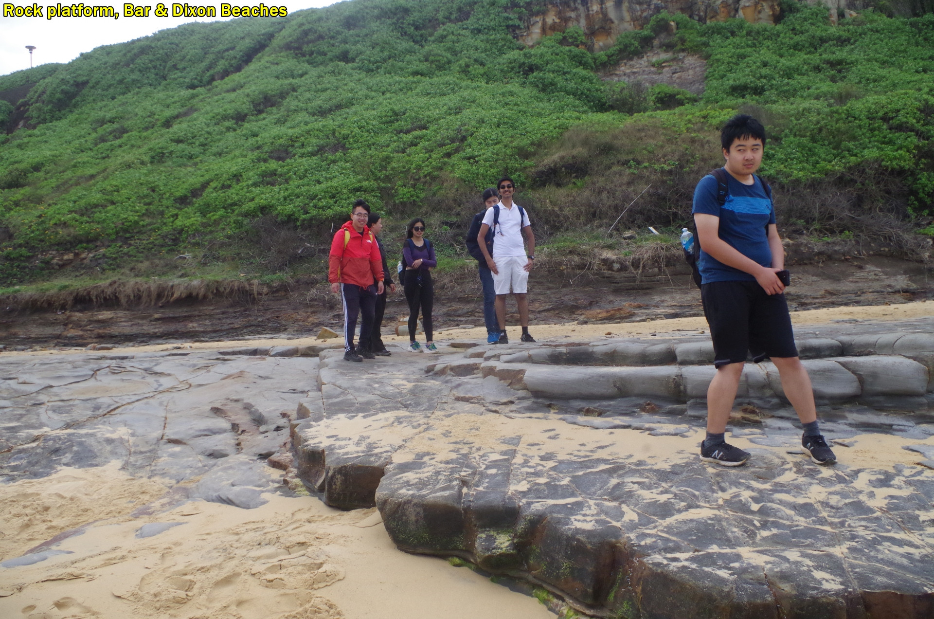
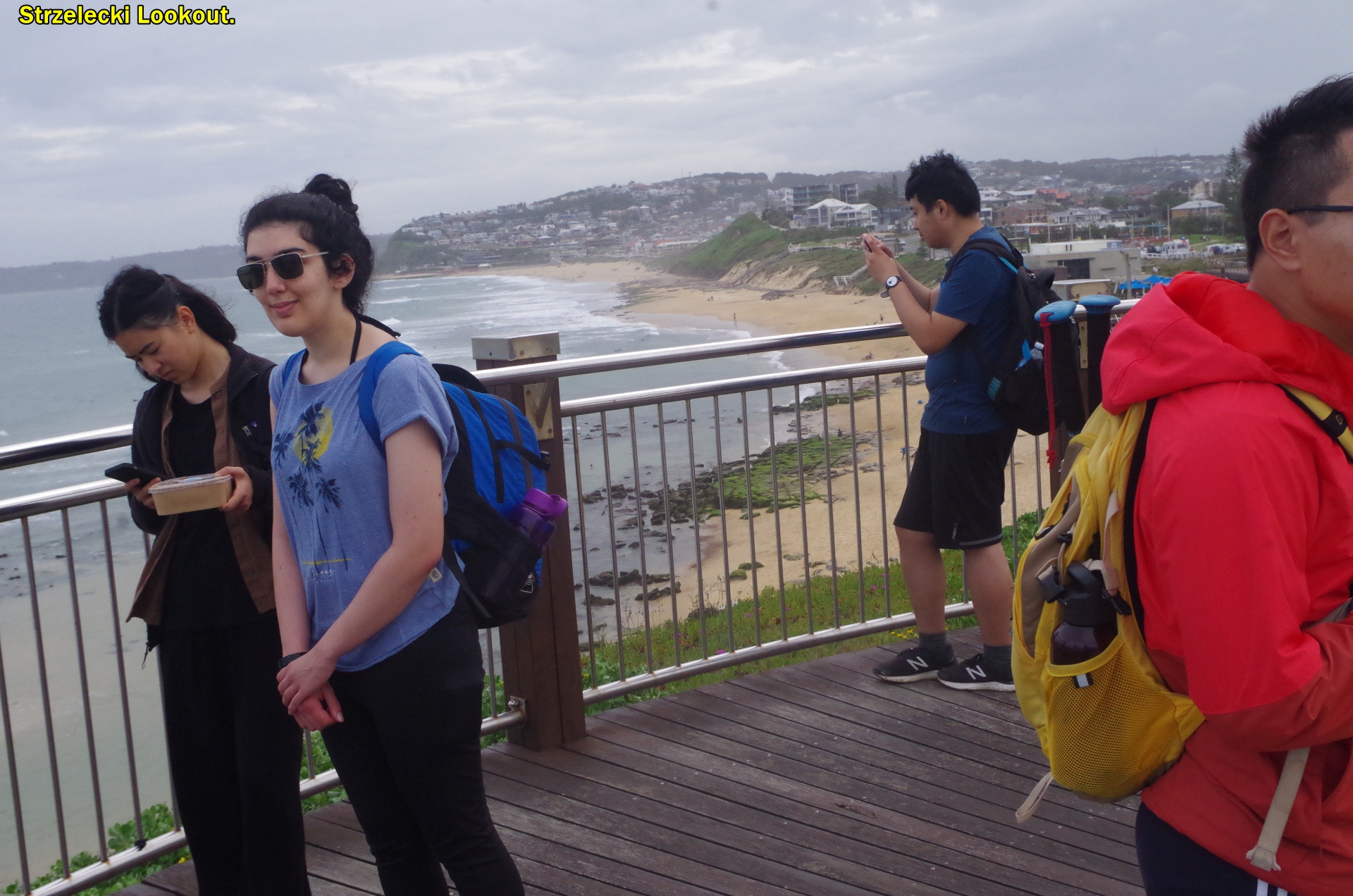
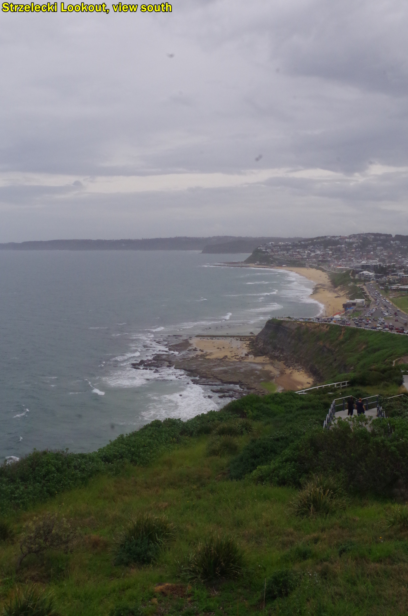
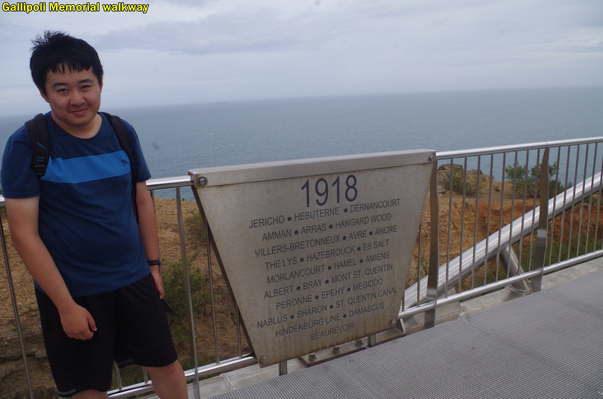
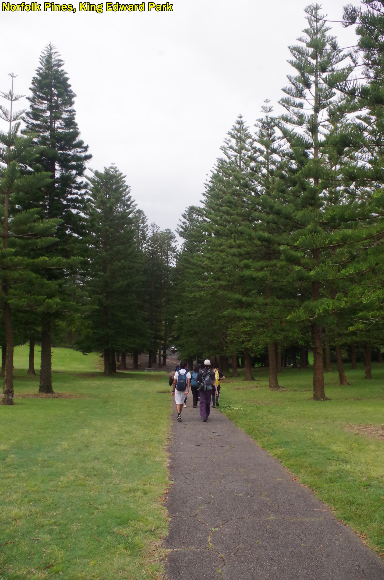
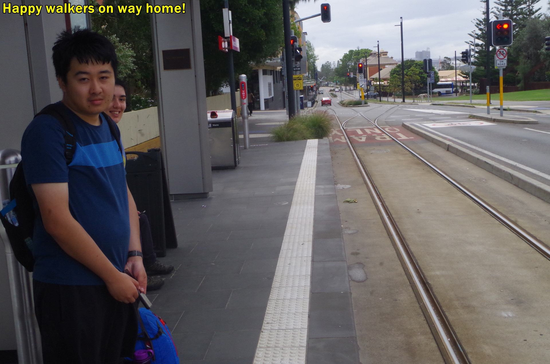
After the swim and lunch, we set off again on the last leg towards Newcastle, For a while it is just walking along the seafront footpath (so can be regarded as another “hike” section), but on approaching the hill between Dixon and Bar Beaches I thought, why go up a hill when you don’t have to? The rock shelf between the two beaches was a safe alternative, so we took that. At Bar Beach we exited again onto the seafront footpath to resume hiking. Then up another hill – unavoidable this time – to reach Strzelecki Lookout with gives a good view down the coast as far as Dudley, and on a clearer day even further. Then across the Gallipoli Memorial Walkway Bridge and down through the Norfolk Island Pines of King Edward Park to reach the CBD proper. We reached the tram terminus with a 10 minute wait for the next tram back to Newcastle Interchange Railway. We arrived at the Station about 20 minutes before train departure time, and if there were any cafes nearby I supposed we could have picked up a coffee. Unfortunately most shops in that area are closed after 4pm and we were there over half an hour later.
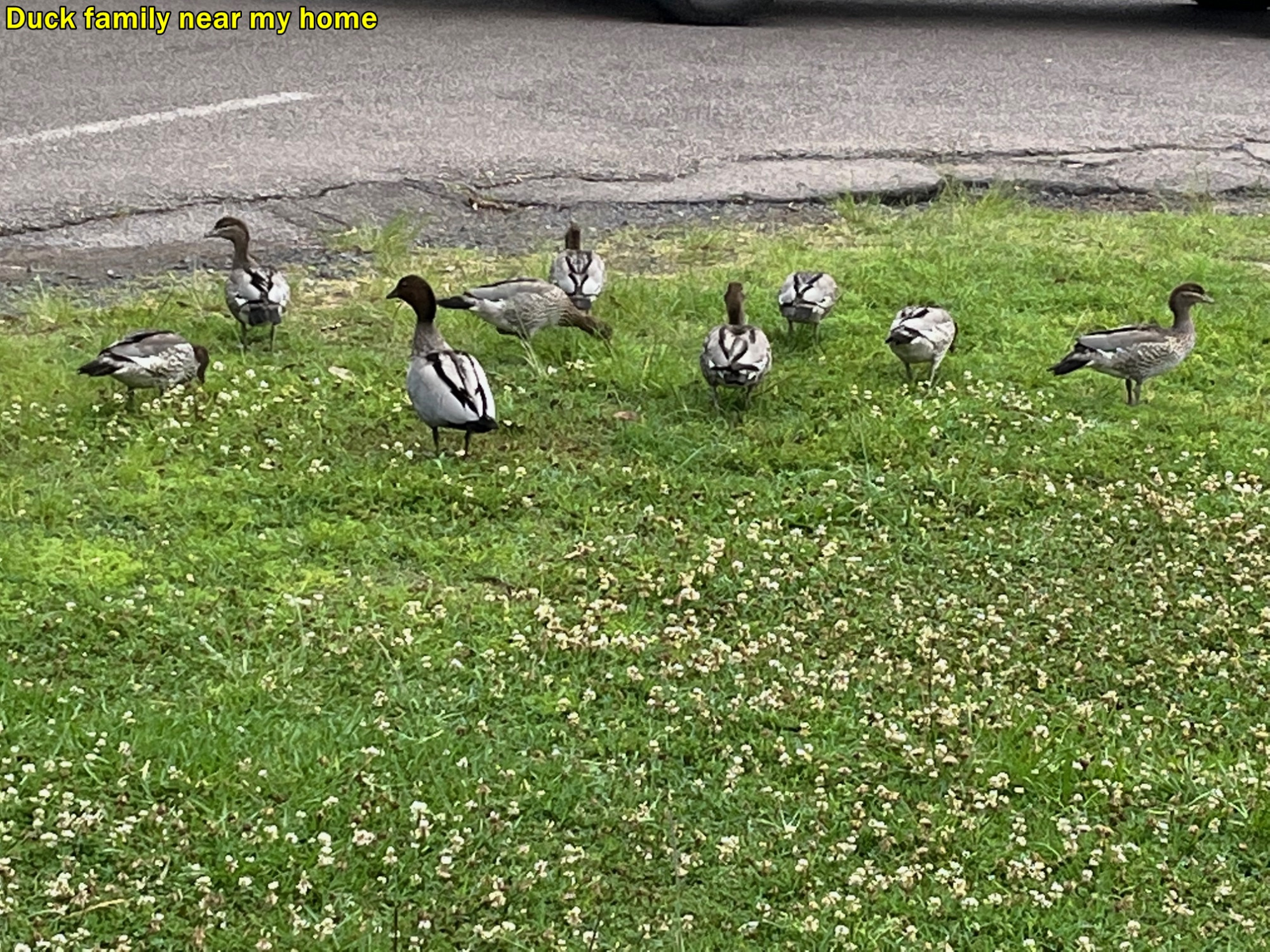
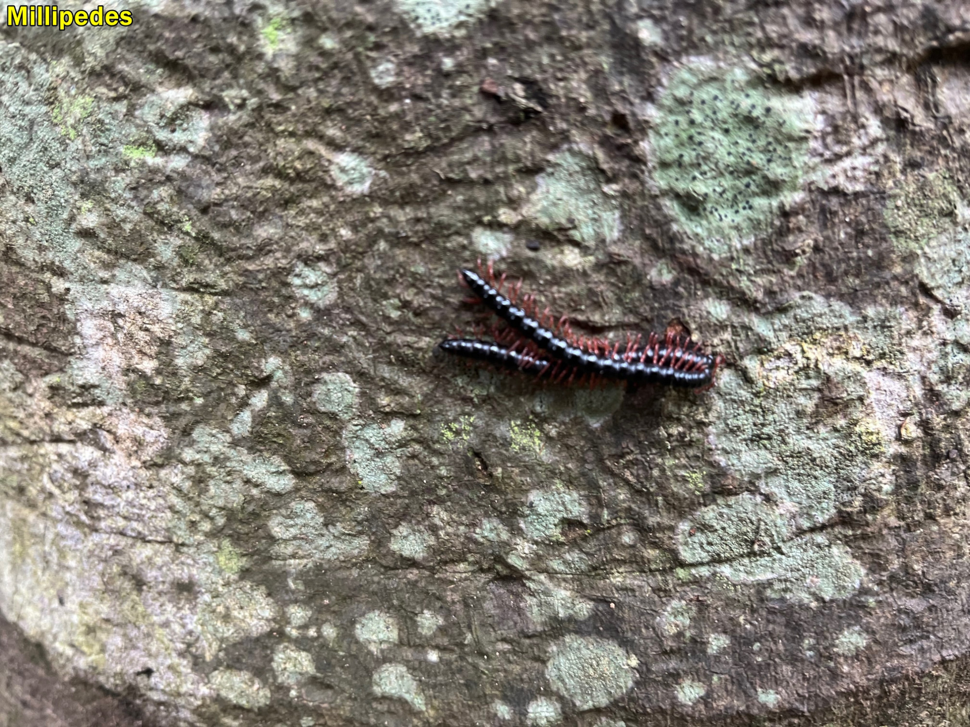
So it was just a matter of returning home on the train. I got off at Gosford and said goodbye to the others. On my own walk home I saw a family of ducks beside the road (see photo, and today I spotted a pair of Millipedes getting to know each other better on a palm tree trunk. I wonder what they were saying?
It was an interesting walk at a distant location, and also more luck with the weather yet again onmy walks, And what did I say in my previous trip report (Mt Victoria) about Winter switching over into Summer with no Spring in between? Looks like it’s happening.
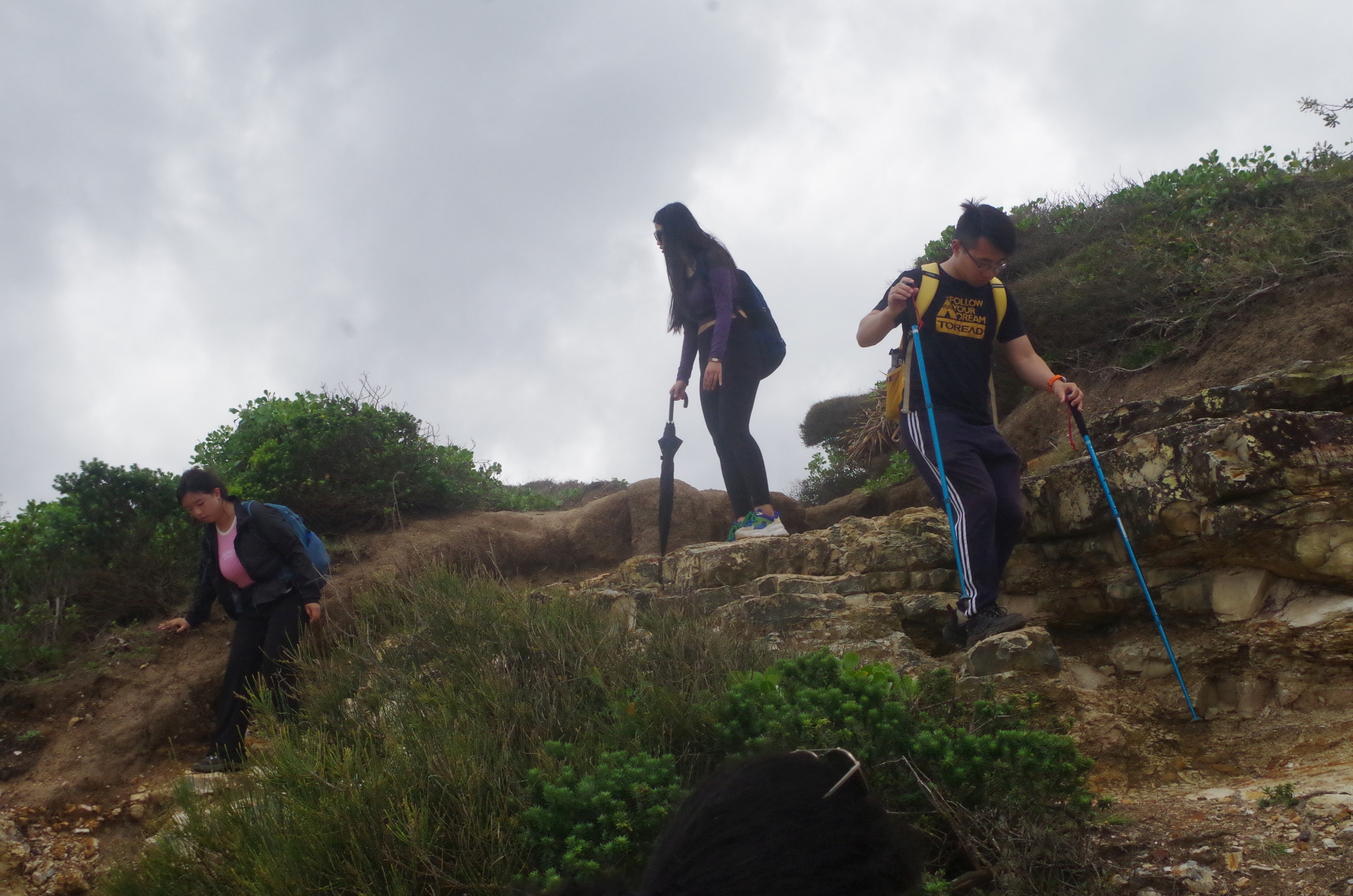
Interesting to note that hiking poles are becoming more common on bushwalks.
There was one outright “no show” without any explanantion, but also two others pulling out “because something has come up”, one almost at midnight the previous day, and another sometime after train departure. I wonder what “came up”?
(BTW, Am I the only one writing trip reports? I know there’s one in the pipeline about the PBT, but any others?).
Bruce Stafford