Date: 18/9/2022
Trip leader: Bruce Stafford
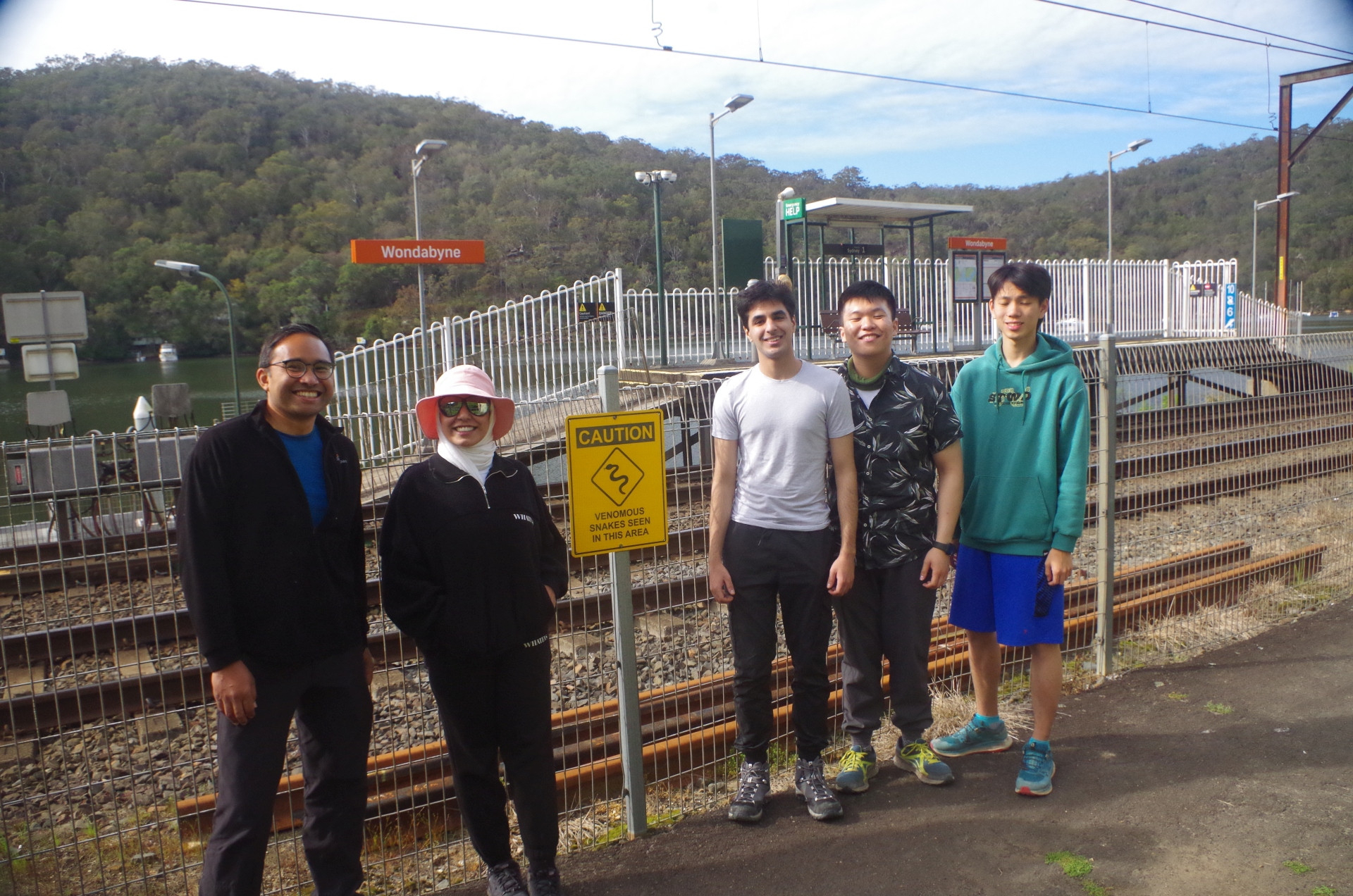
Party: Aaron, Armaan, Budour, Kwun Ming, Socheat.
Wondabyne to Mt Wondabyne and Woy Woy 18/9/2022.
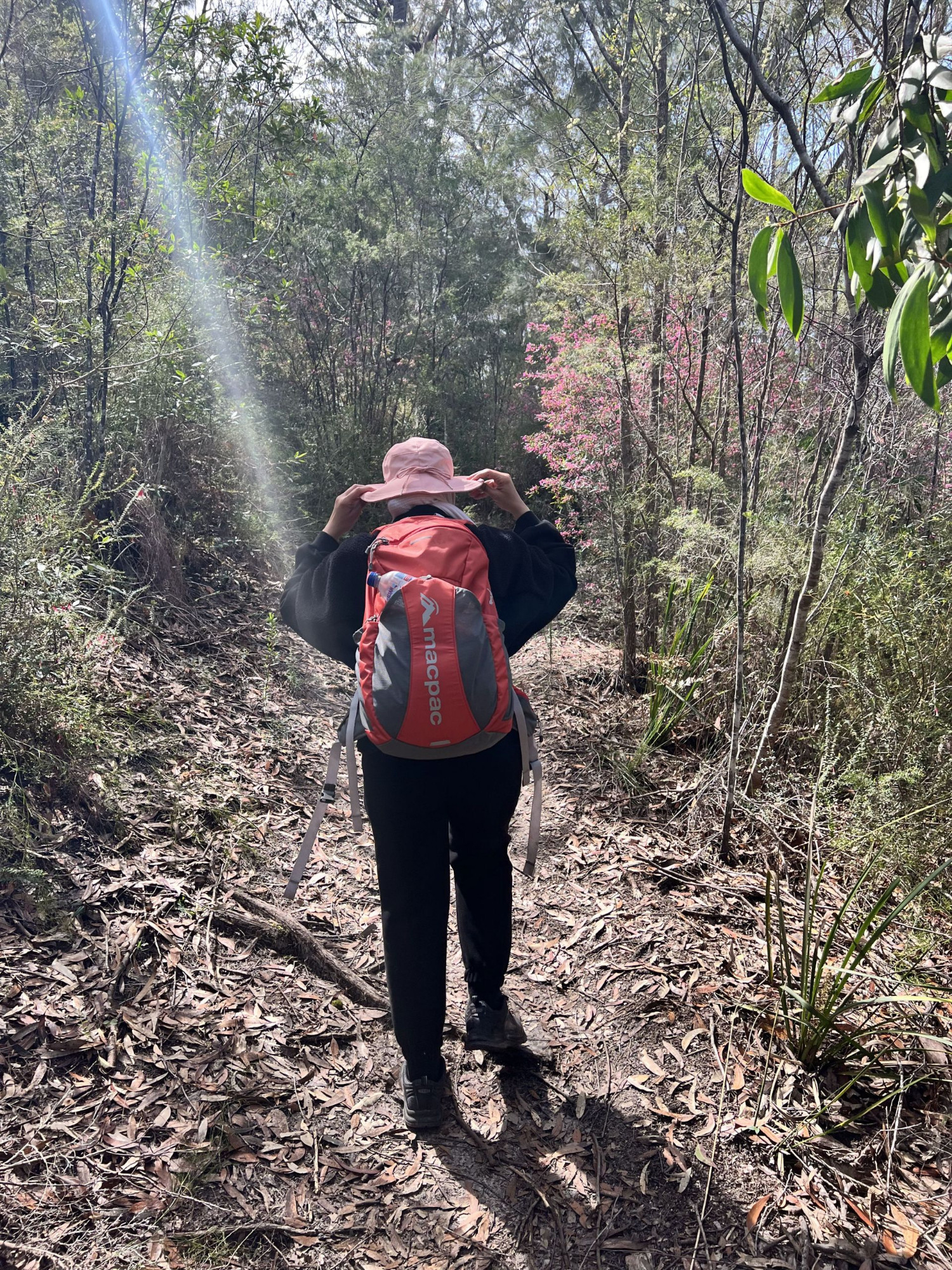
I planned this bushwalk (NOT “hike”) for early spring to take advantage of the mild weather as well as the wildflowers being out in display at present. Anyone who has done this walk in summer knows how hot and exhausting it can get then.
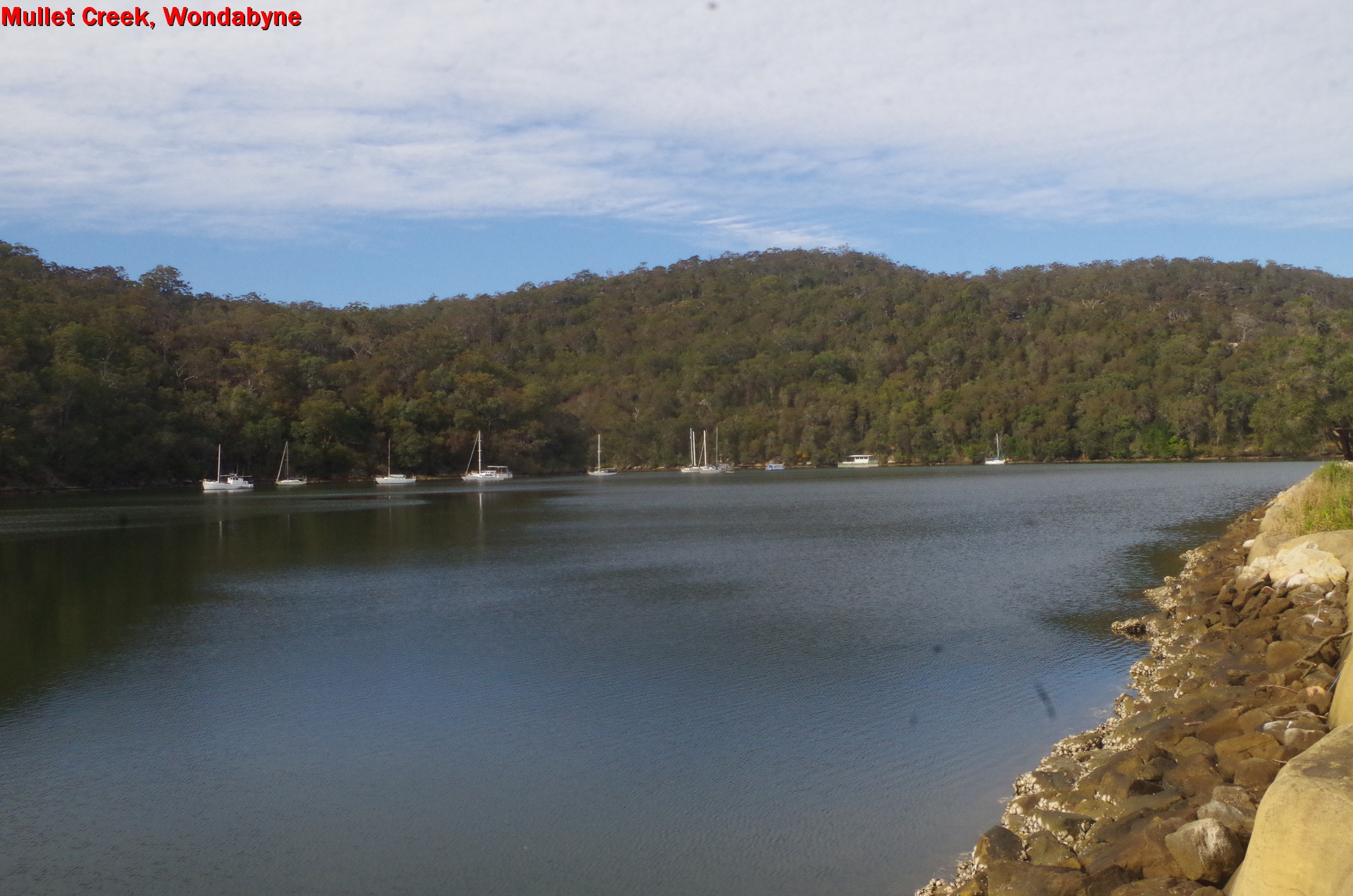
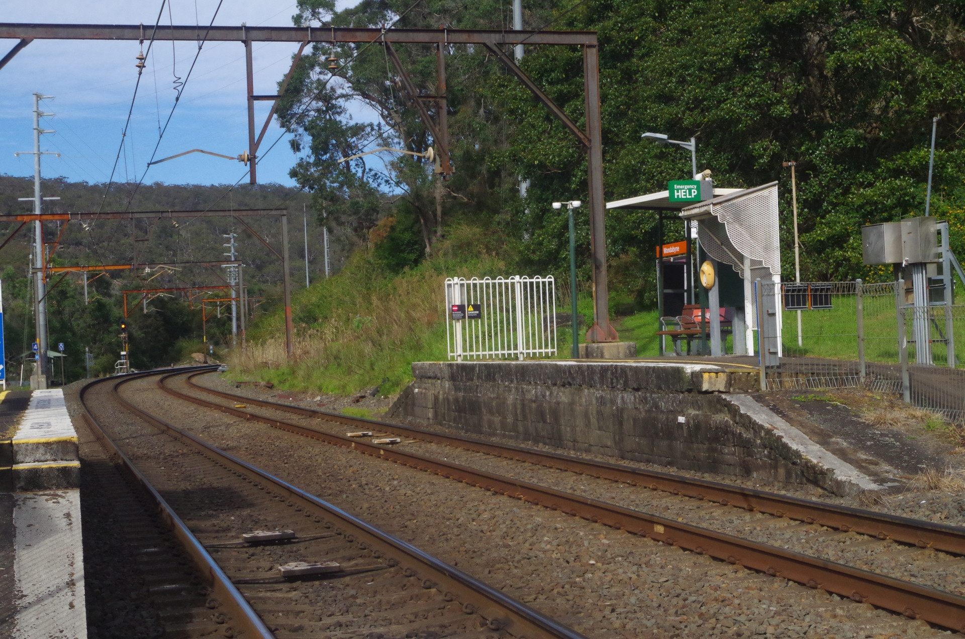
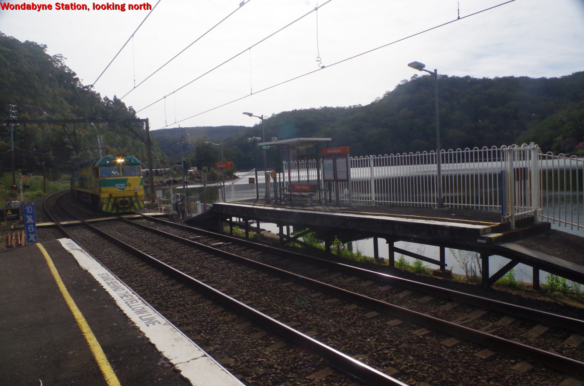
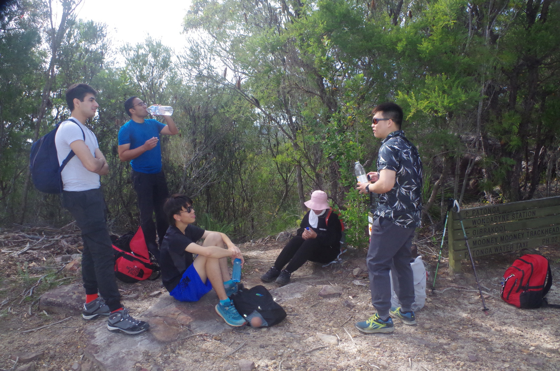
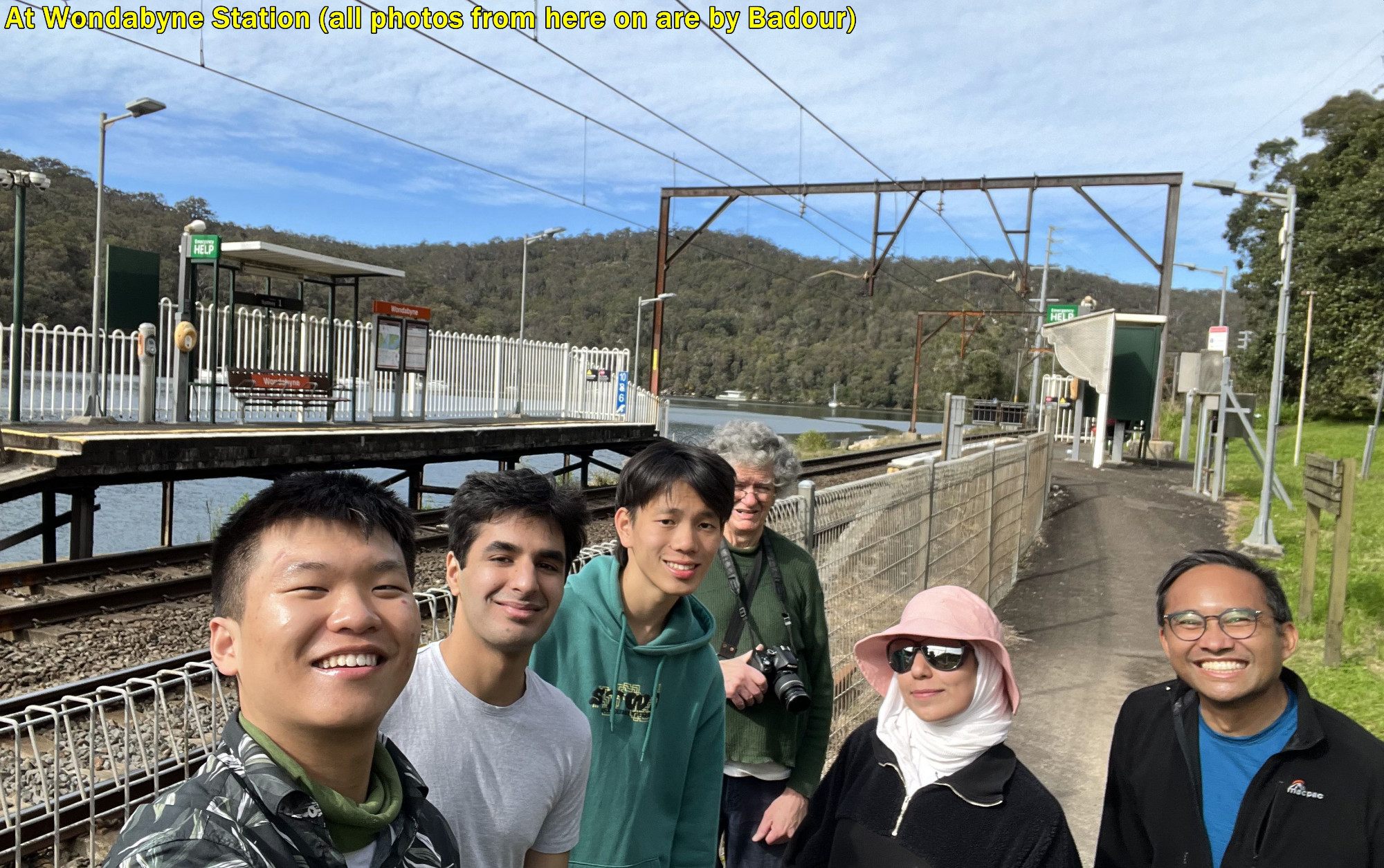
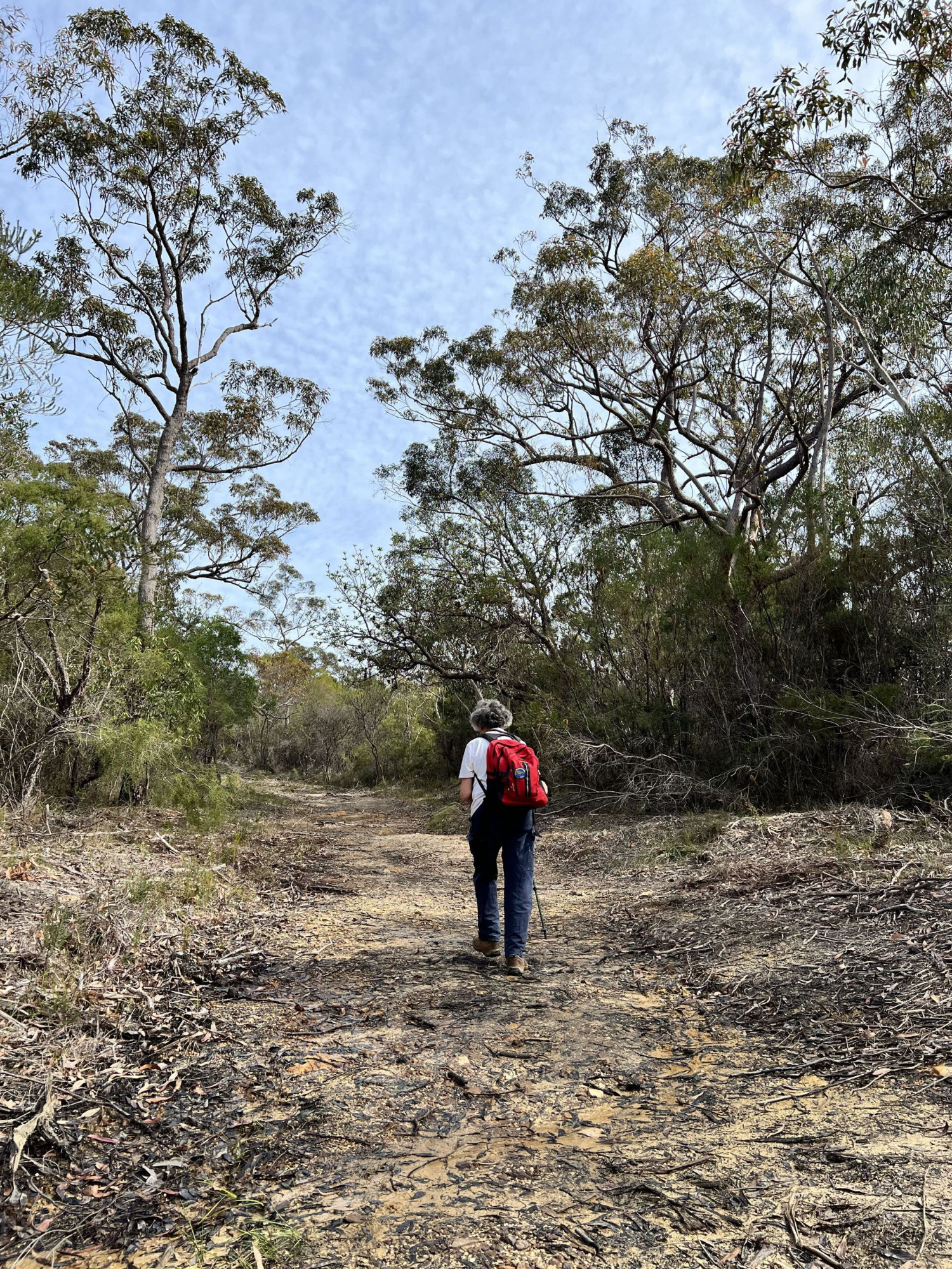
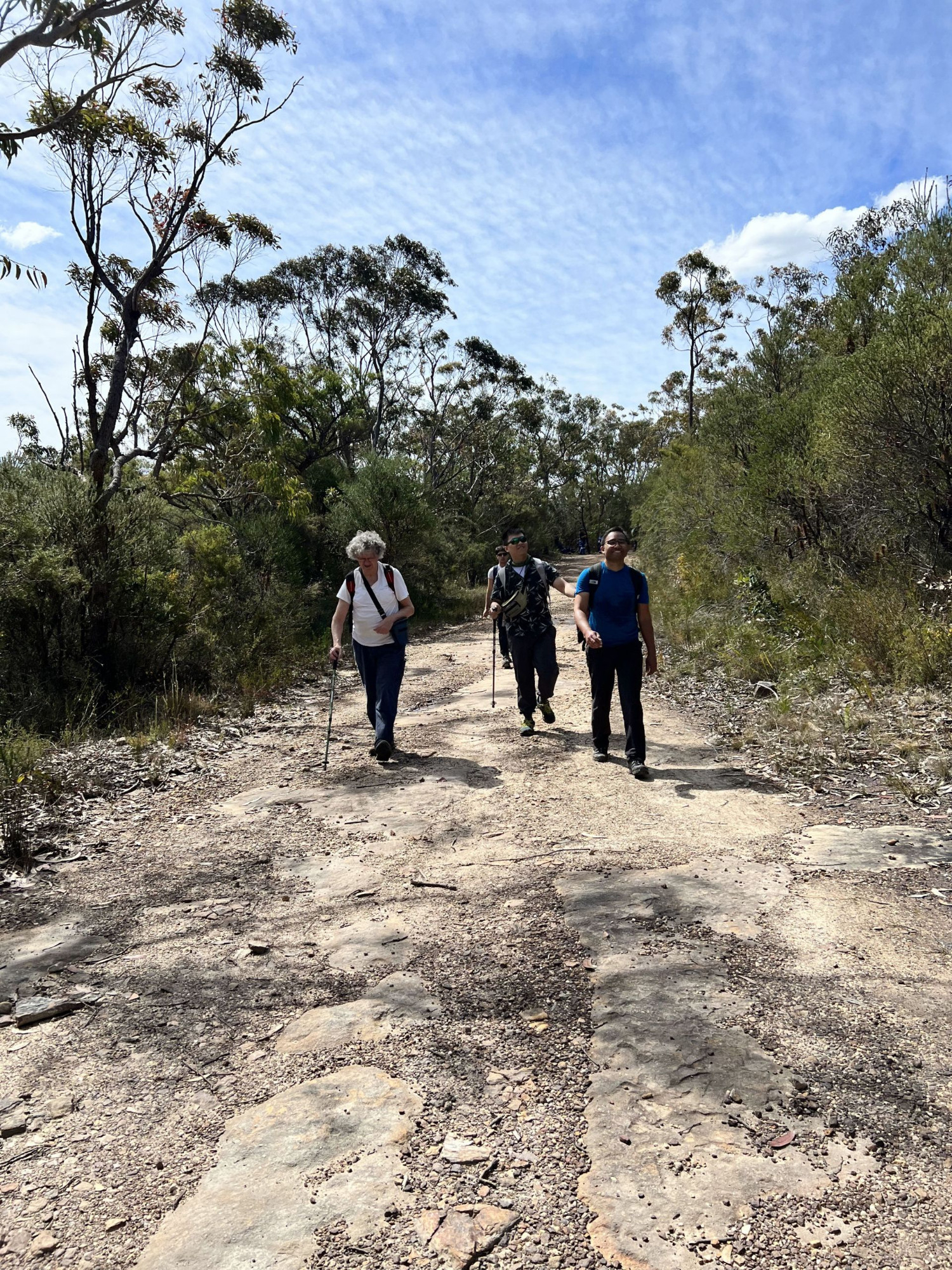
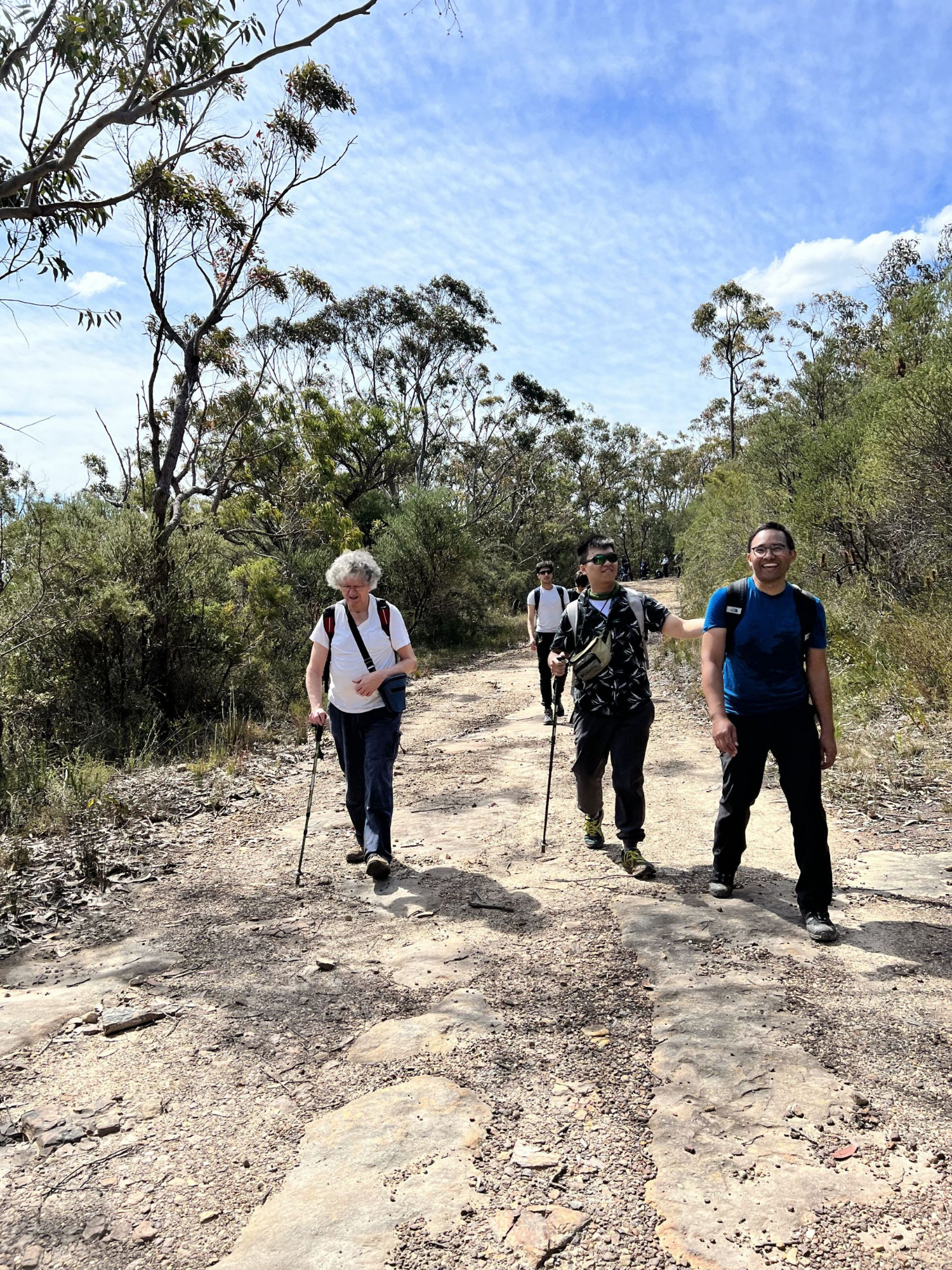
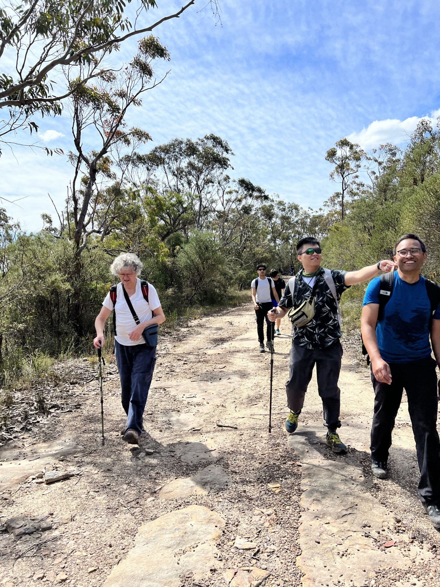
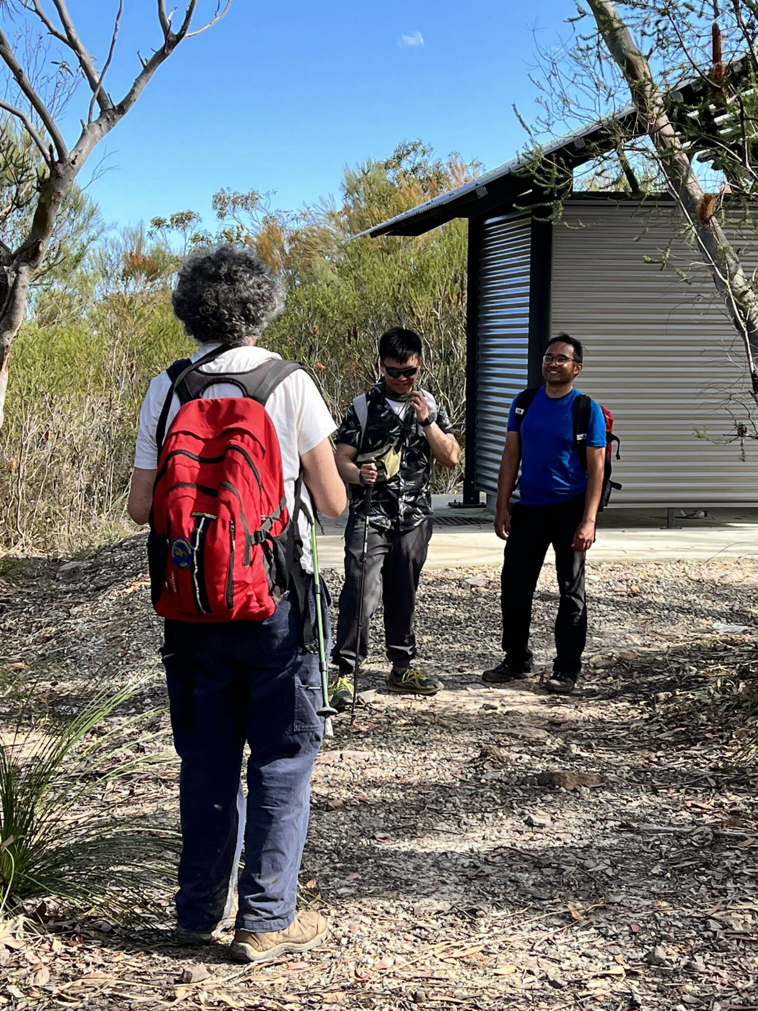
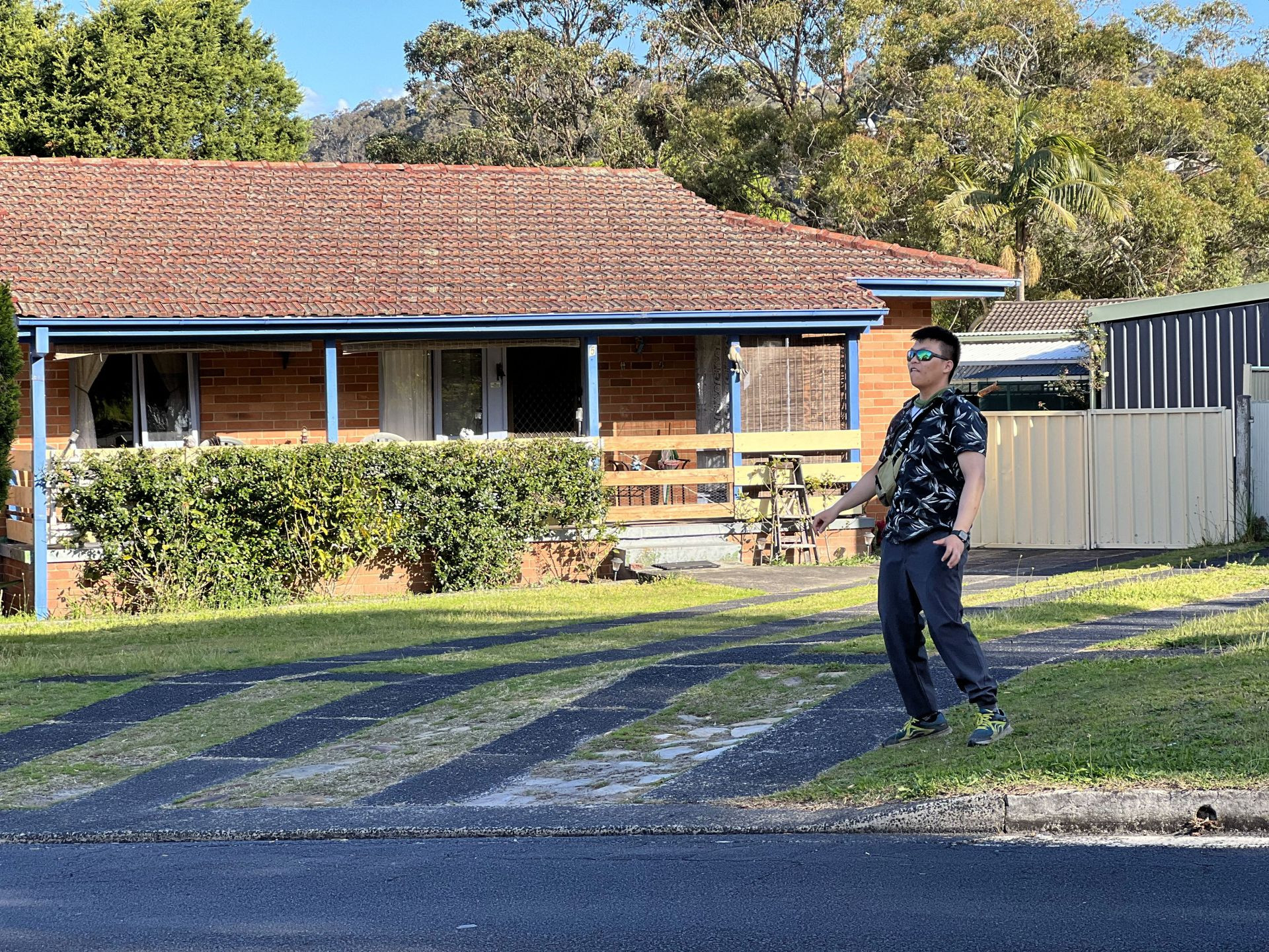
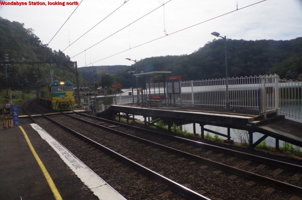
I made my own way to Wondabyne Station, and waited for the rest of the walk members to turn up on their train from Sydney about 8 minutes later. I was disappointed to find that only 5 people got off the train (as noted at the end of this report, 3 people told me they had pulled out for various reasons). That still left another 5 people missing. Aaron suggested that they might not have got in the right carriage, yet they had all acknowledged that they knew the right procedure as part of the process of signing on to the walk.
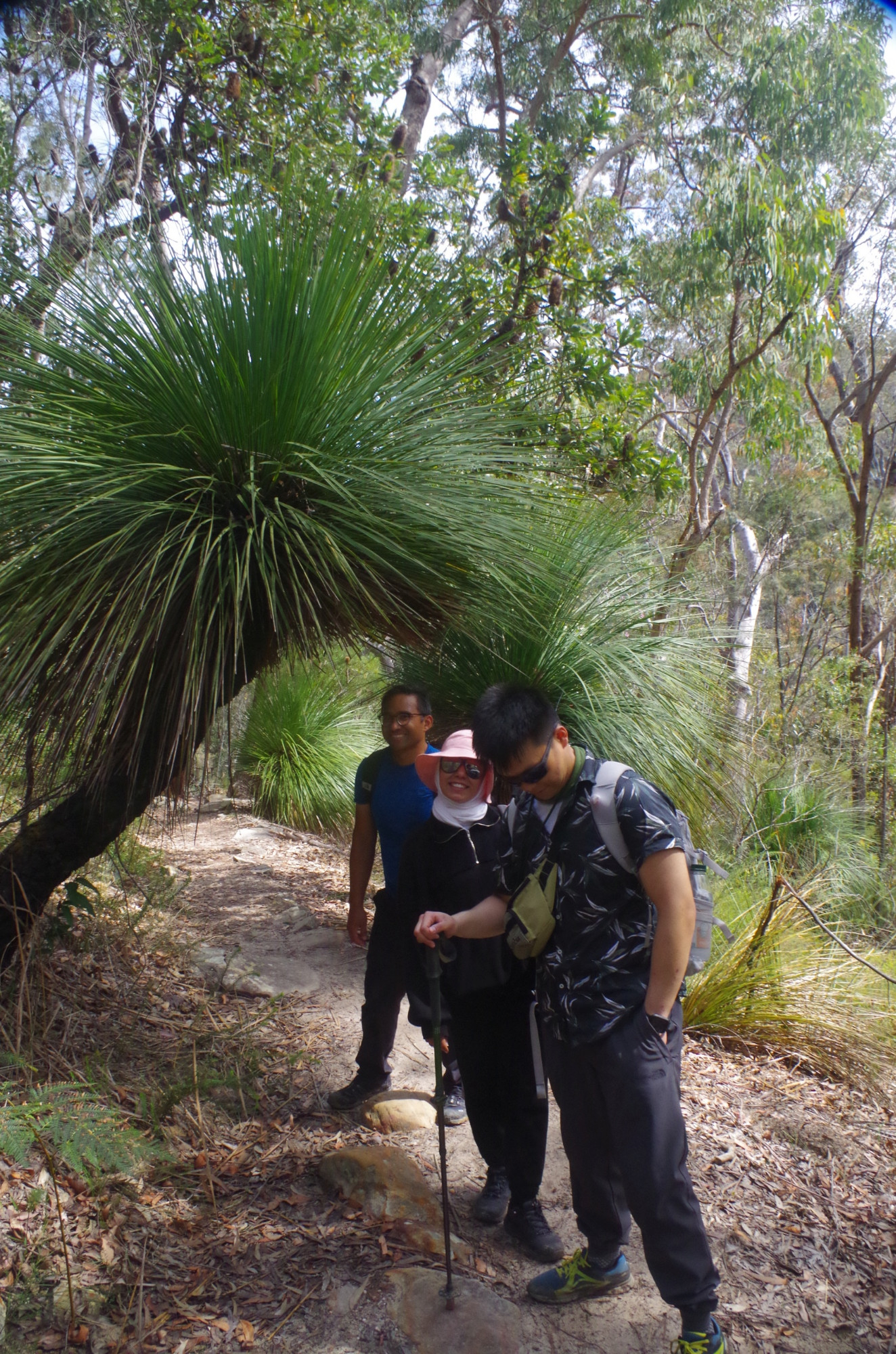
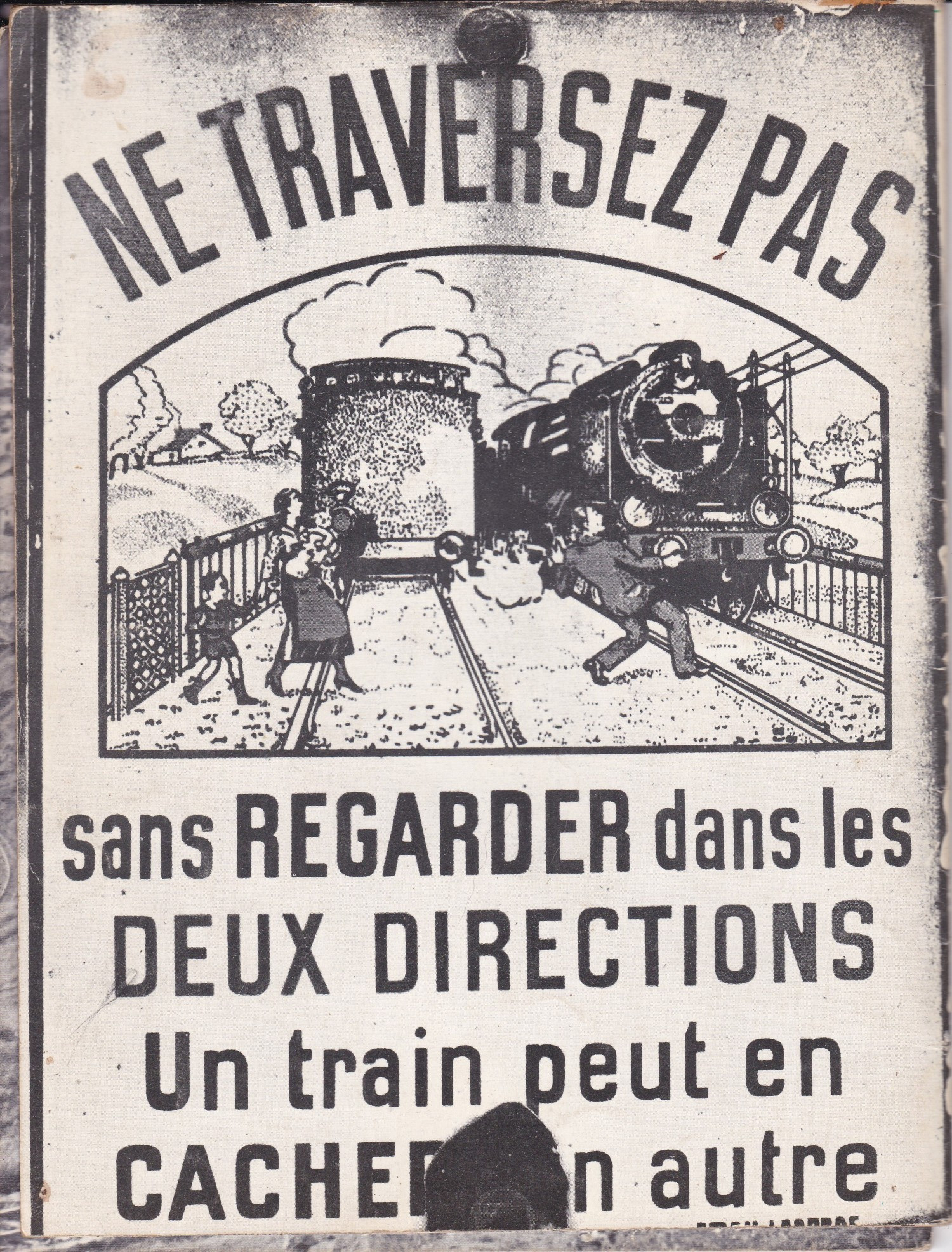
After giving people an overview of the walk, and posing next to the warning sign about snakes (see photo), Socheat then suggested getting a group photo of all six standing across the running lines at the foot level crossing. Interesting idea, Socheat, but there were just a couple of little problems with that: this is a busy line with many trains (an empty coal train had roared through while I was waiting for their train). Although the warning bells would alert us if a train approached, the gates close very quickly, and with six people on the tracks there could be a dangerous confusion getting off the tracks quickly. Also, even a little station like Wondabyne has CCTV cameras (you can see them above the “help” sign in the photo just below). And rail staff will know who you are because you have tapped off your Opal card. Train crews will tolerate people being near the tracks (as we have done on past trips), but not on the tracks. Getting on train lines destroys goodwill by train crews towards bushwalkers; it’s definitely not recommended. Halfway down there is a photo of an old sign in French, warning what happens if you don’t look out for trains! (Can any French person advise if they are still used in France?)
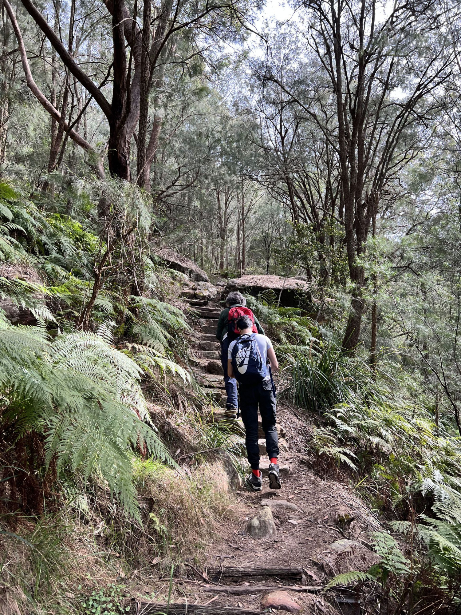
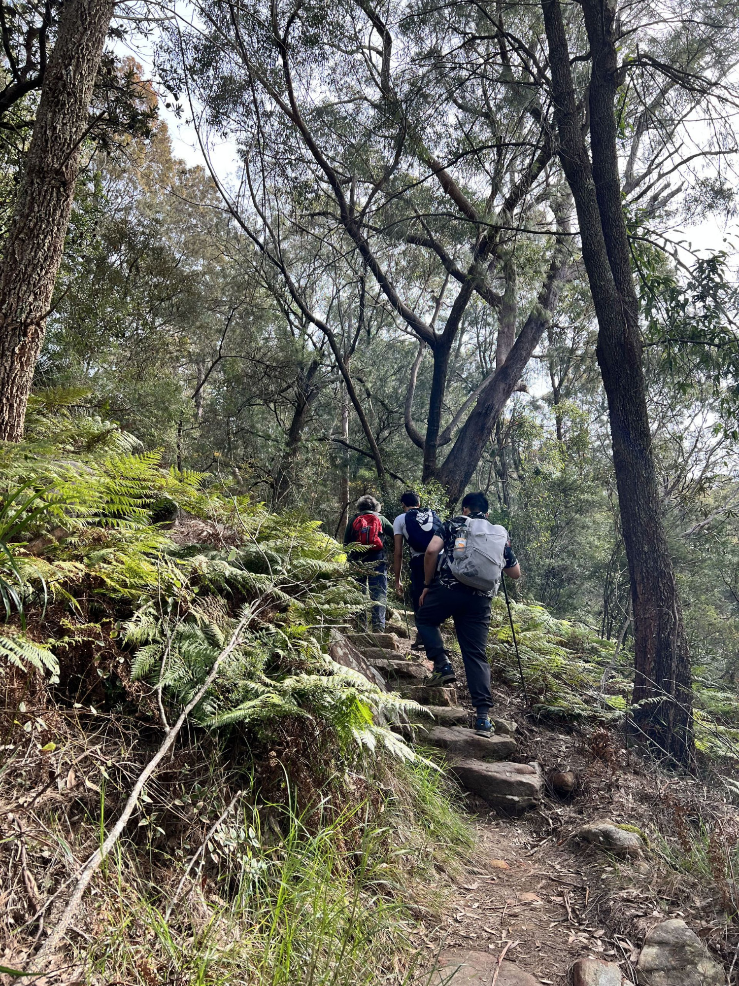
After leaving the station we went straight up the steep track which takes us to the top of the ridge above Wondabyne and the old quarry there (and while doing that, another heavy freight train, this time a grain train, passed through, emphasising how busy this line can get). At the top we had a brief water break, then continiued along the fire trail which starts there and gradually rises until reaching the side track to Myron Brook and Kariong Falls. A bit further down (to the left) is a side track to Pindar Cave.
Almost the entire walk, from Wondabyne Station to as far as “Dillon’s Fire Trail”, is part of the “Great North walk”, which starts in Sydney and ends in Newcastle.
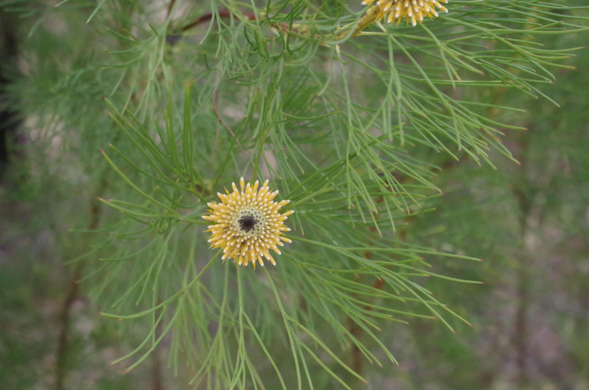
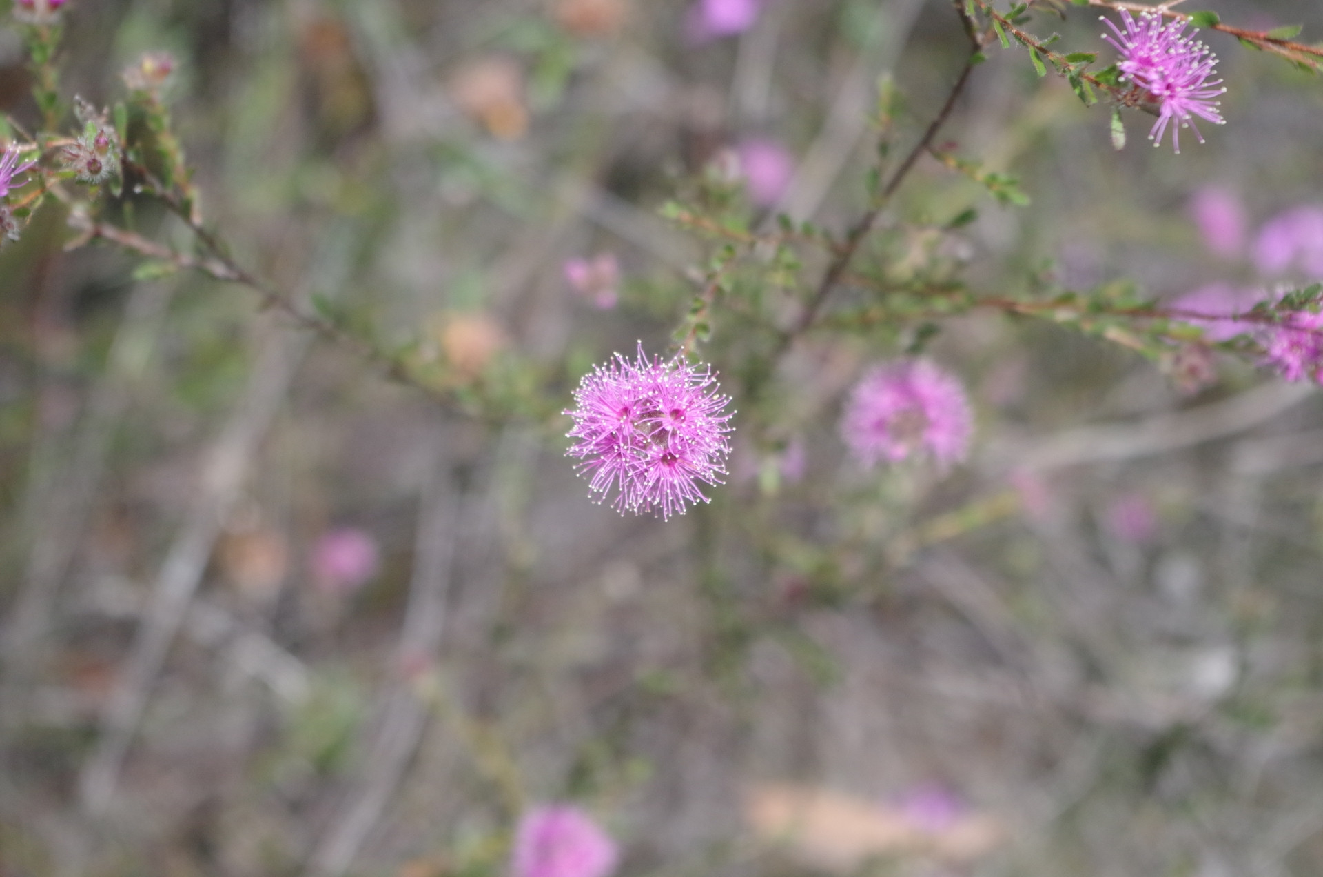
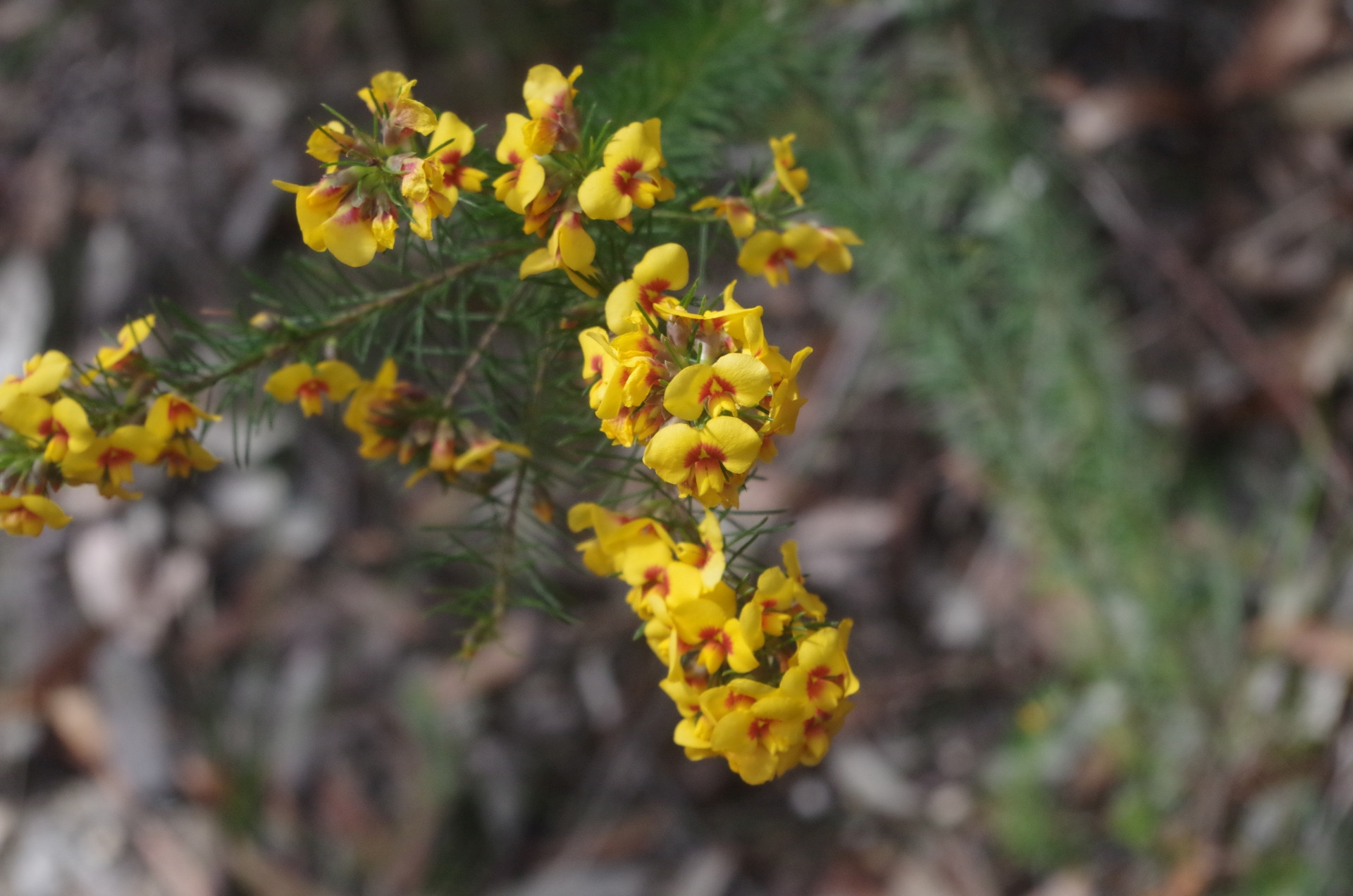
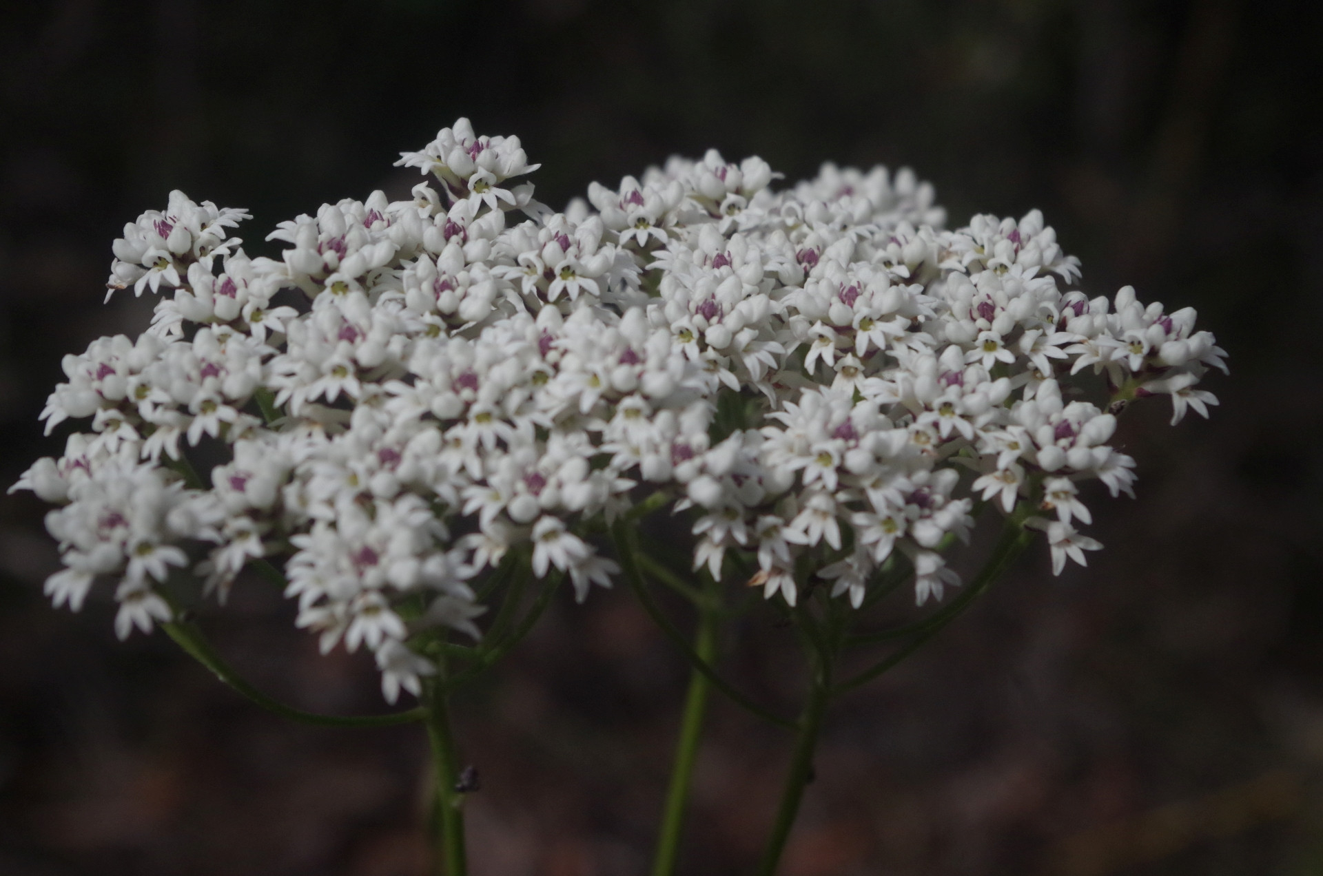
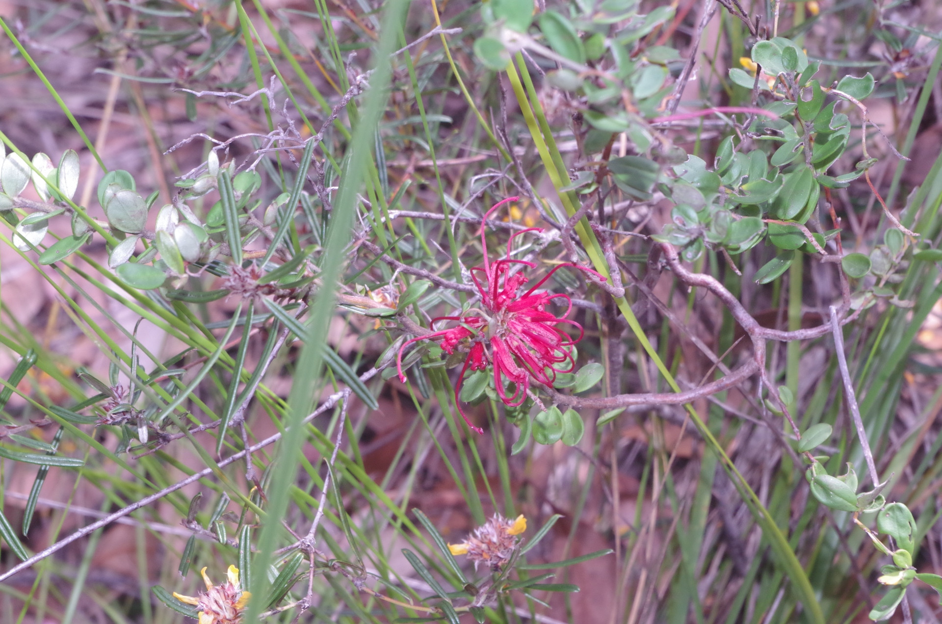
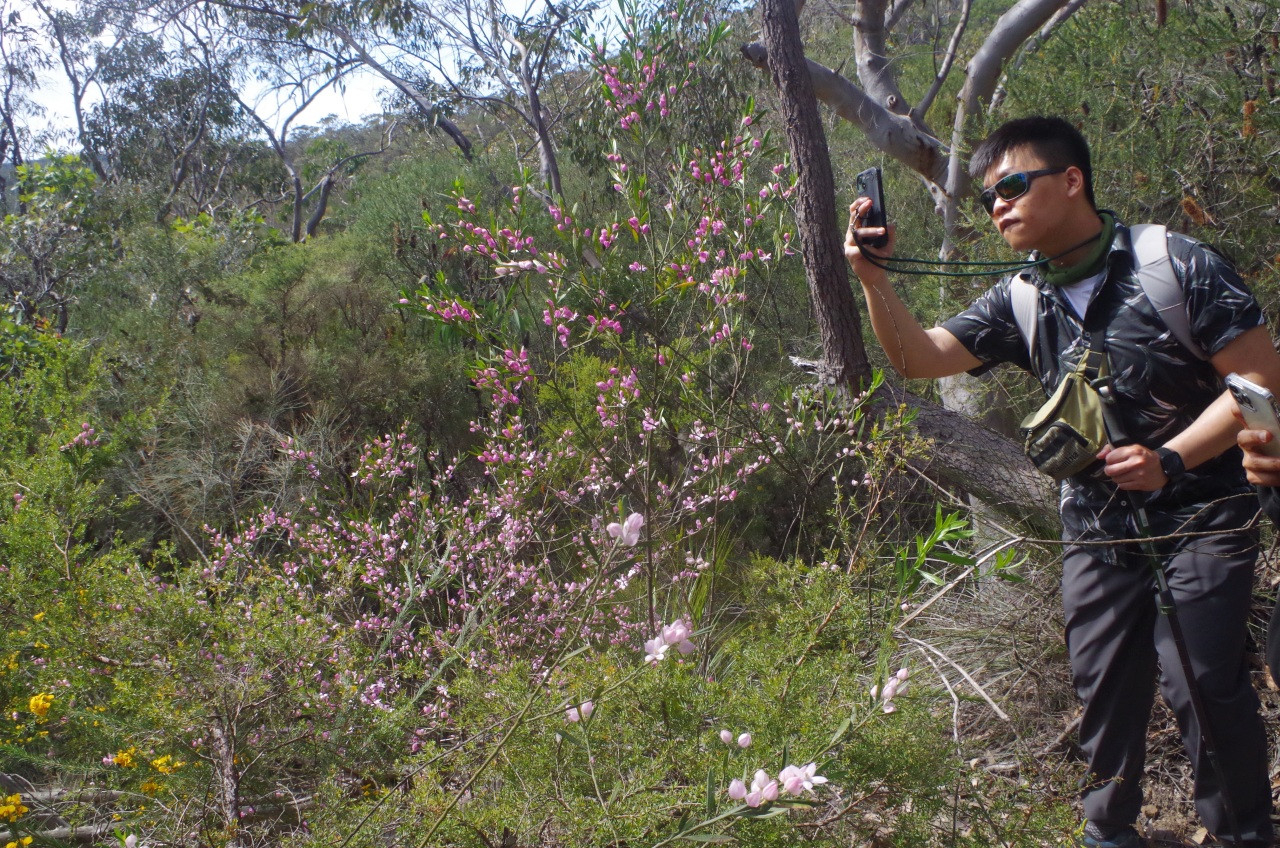
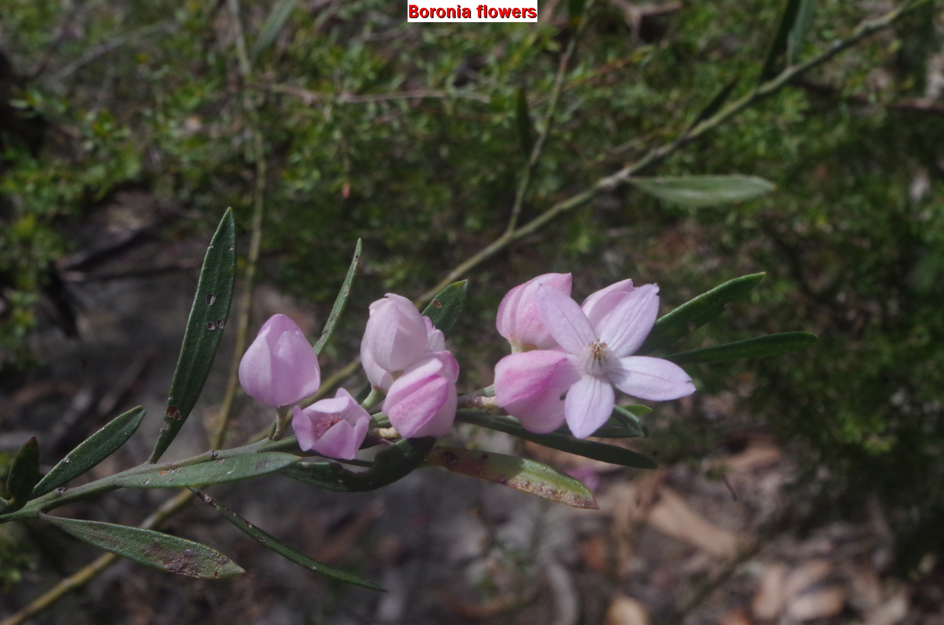
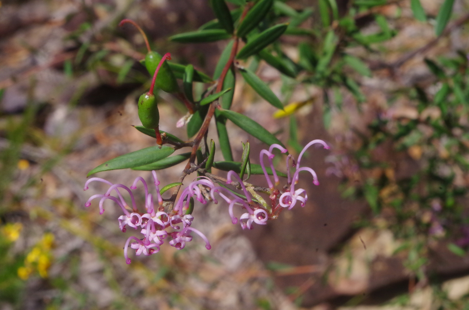
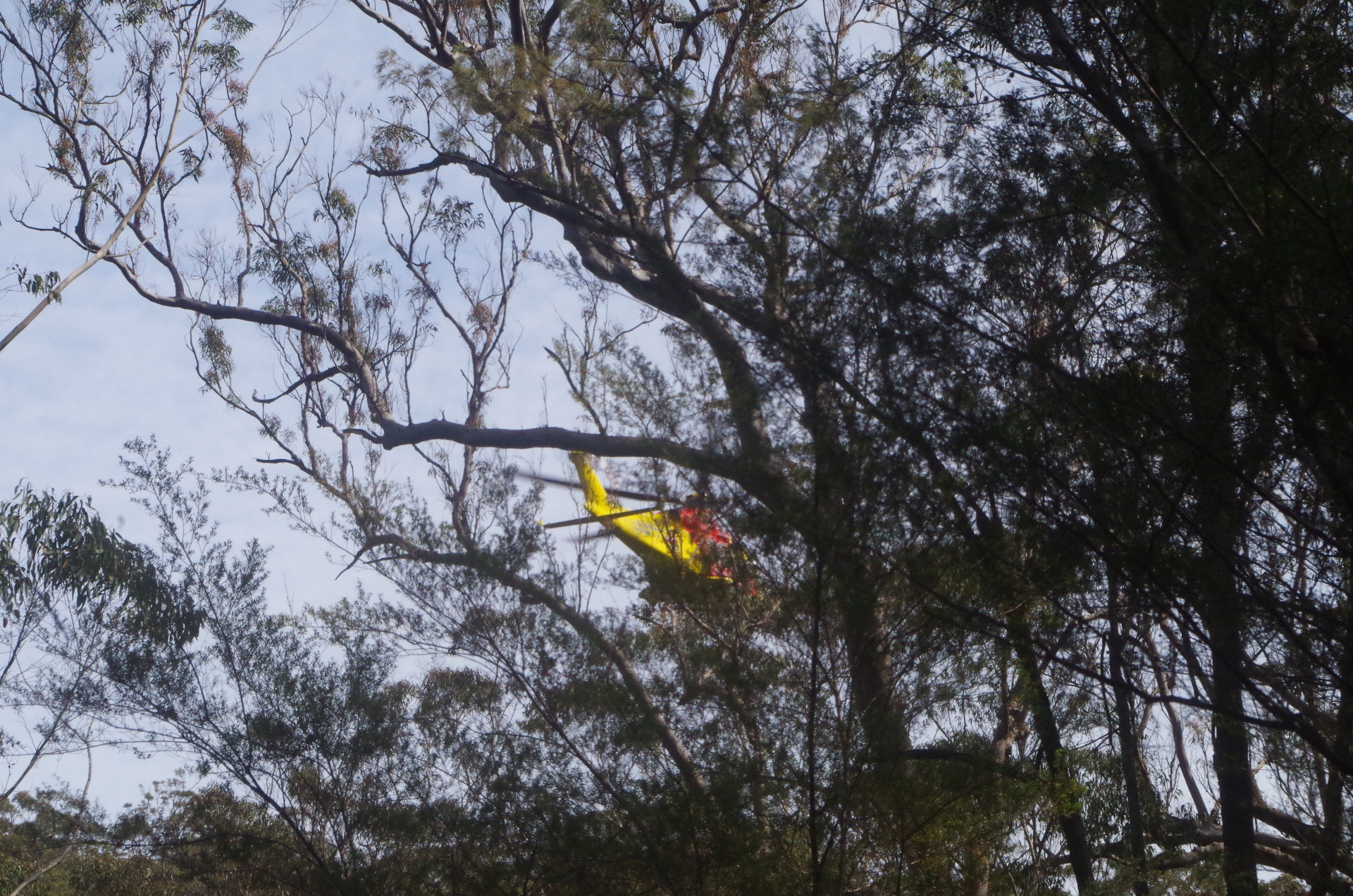
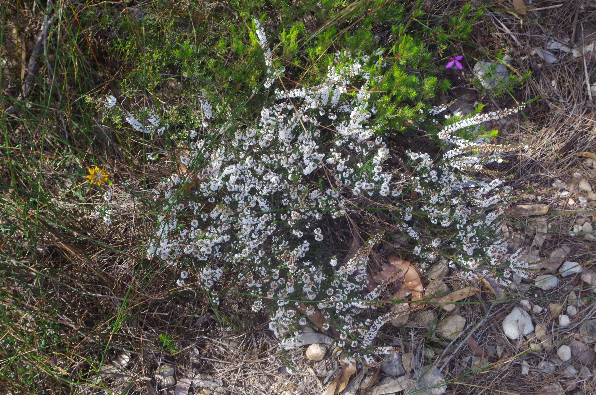
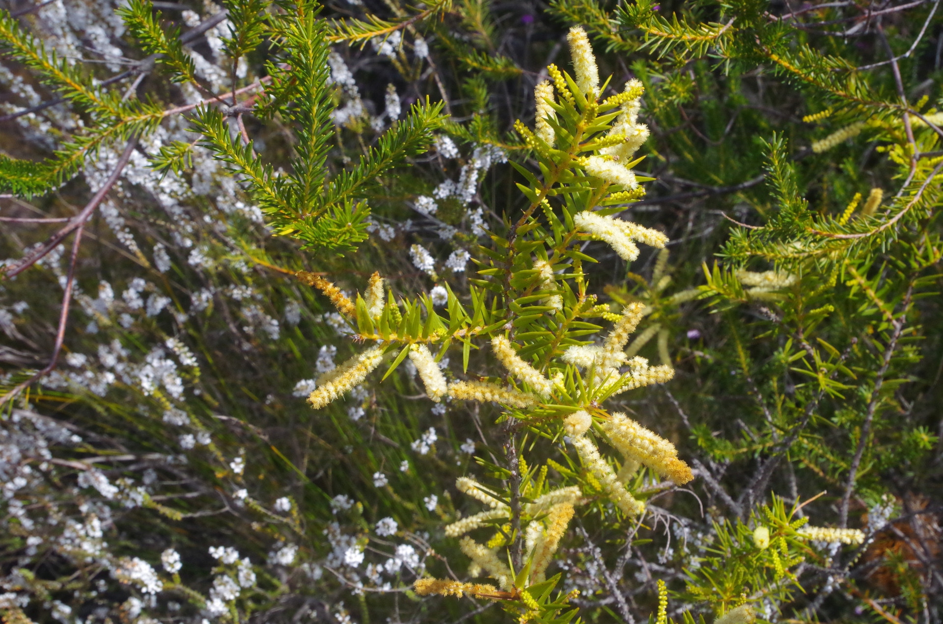
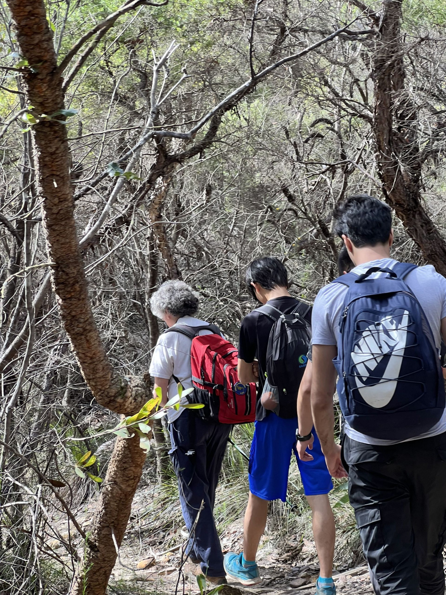
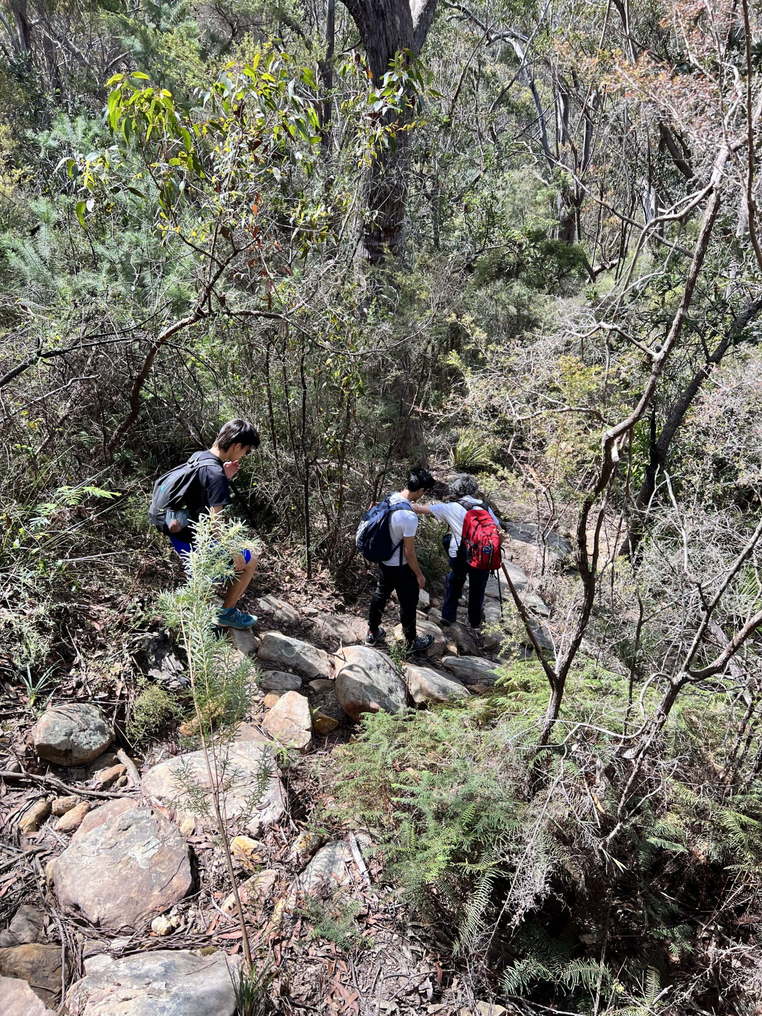
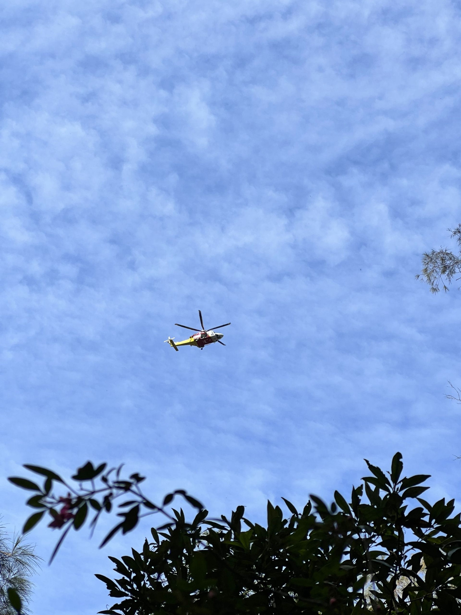
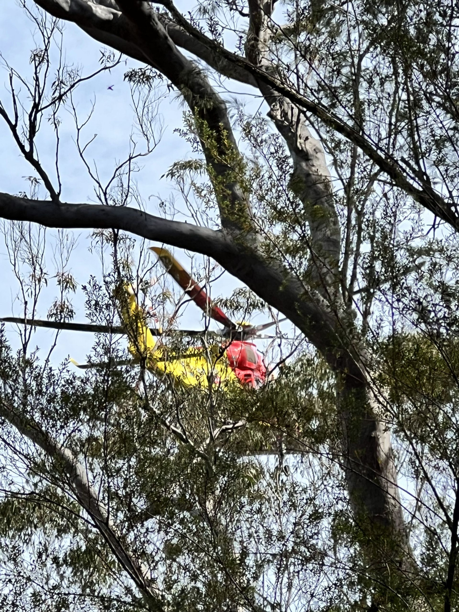
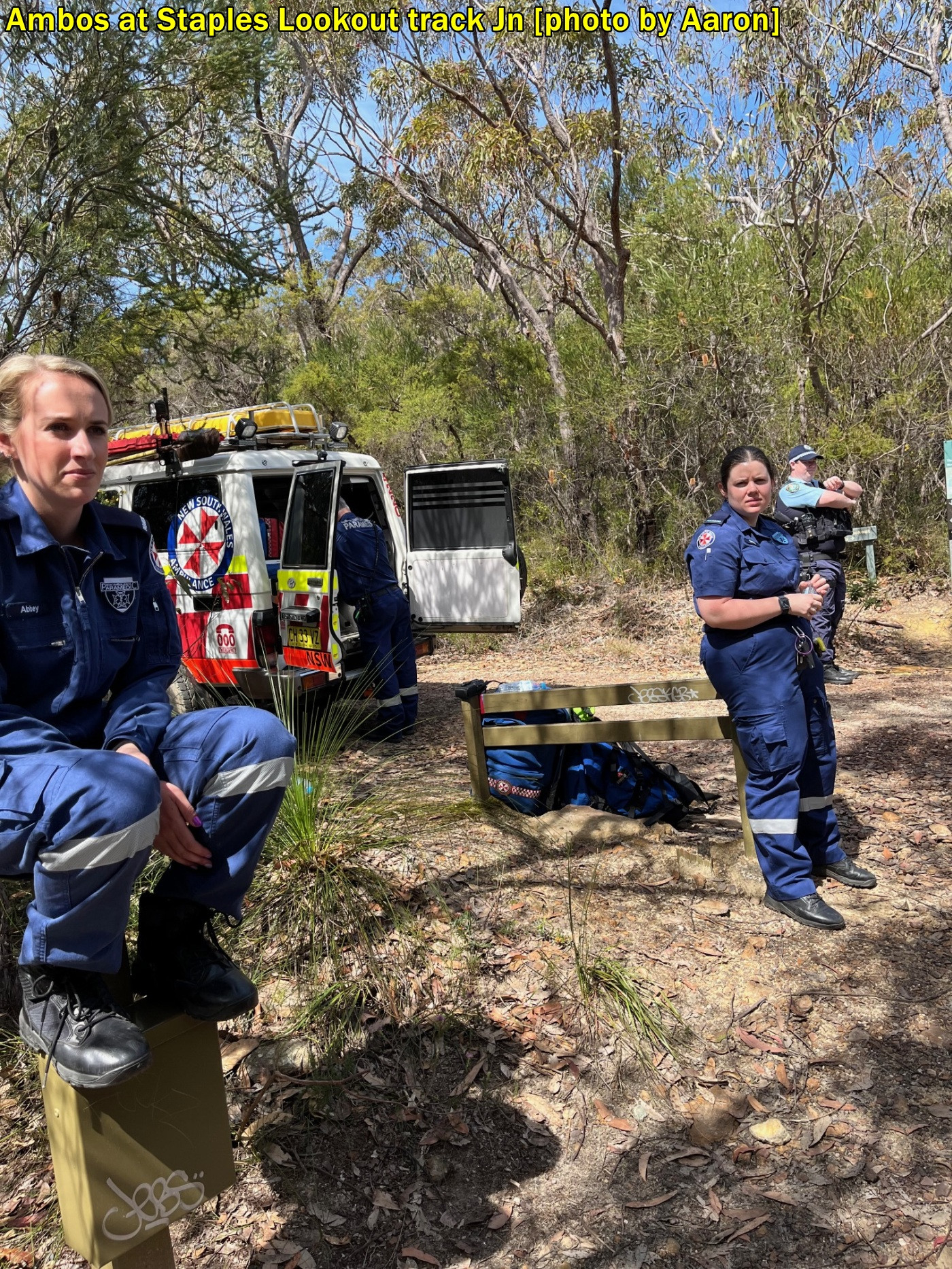
At the start of the track to Myron Brook, we had a brief water break, then headed off down this track which had some muddy sections at first. We stopped a few times to get photos of the many wildflowers, and then came across four bushwalkers from another group who had news for us. One of their group further below at Myron Brook had slipped on a rock which forms part of a steep “step” down to the brook and had broken her leg. They had come back up the track to where they where now sitting to get a mobile phone signal as there was none at the accident site at Myron Brook. They had activated their PLB [personal locator beacon] and a helicopter was on its way. They also advised that she was lying across the track and could not be moved (obviously) and it would be tricky to by pass the site.

So we descended to Myron Brook via the “track” which has become badly eroded after a series of heavy rain events over the past few years and is quite rough and rocky. We were able to bypass the “patient” without too much disturbance, and there were another 10 people from her group with her. We usually pause at Myron Brook but this time the rescue helicopter had just arrived overhead and we had to move away so as not to be in the way of the rescue team. That other group appeared to be well-prepared for bushwalking, with a space blanket covering the injured person, and of course their PLB. Yet they had an accident which goes to show that bushwalking comes with potential risks like that, no matter how well prepared you may be. Bushwalking is not like walking through uni, as I keep repeating at my walks!
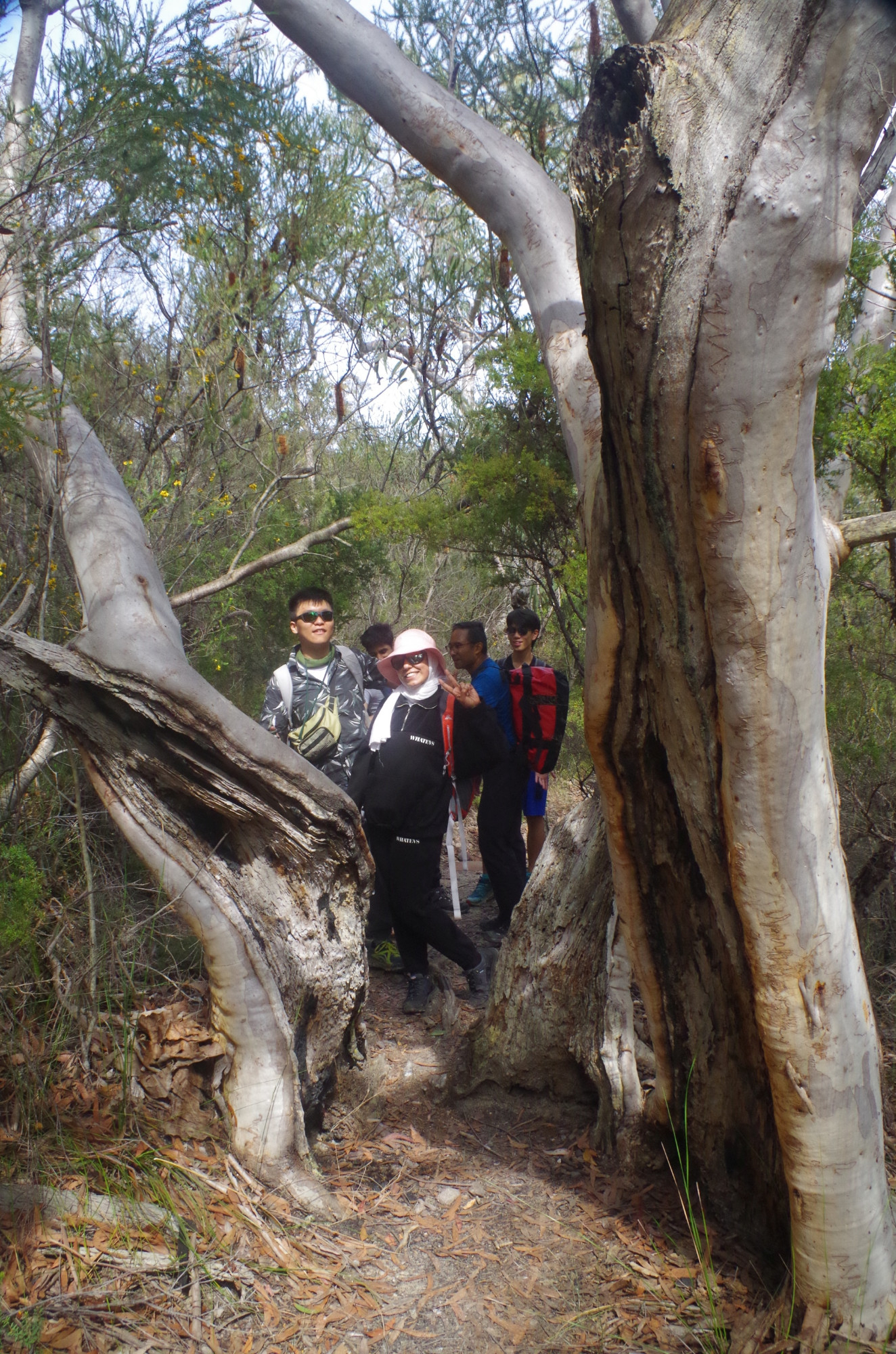
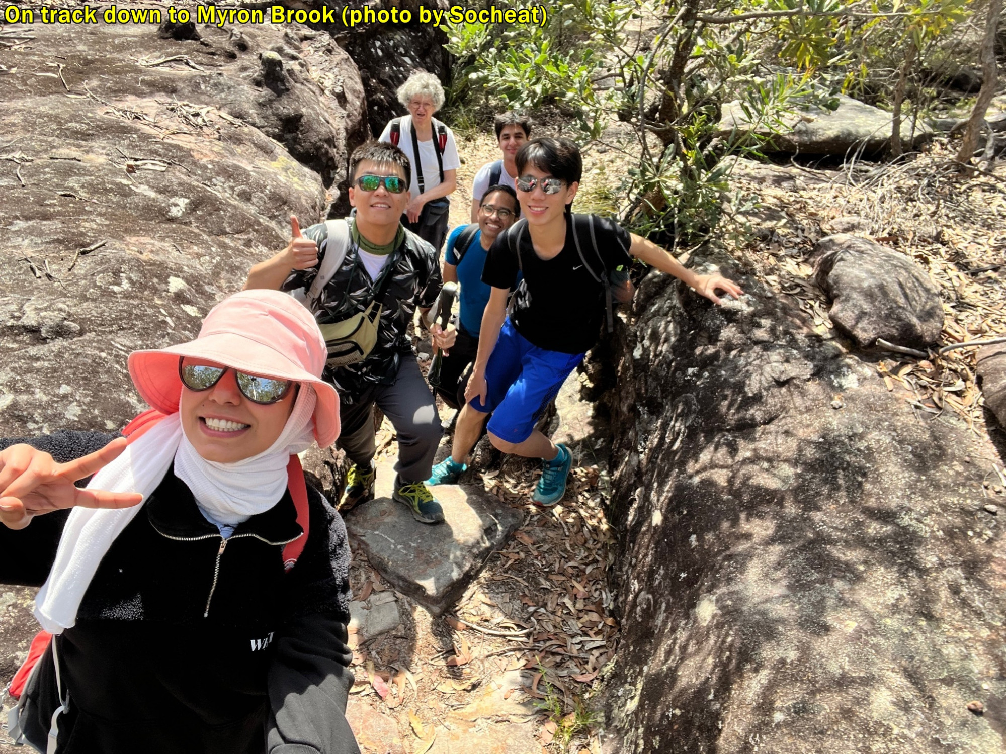
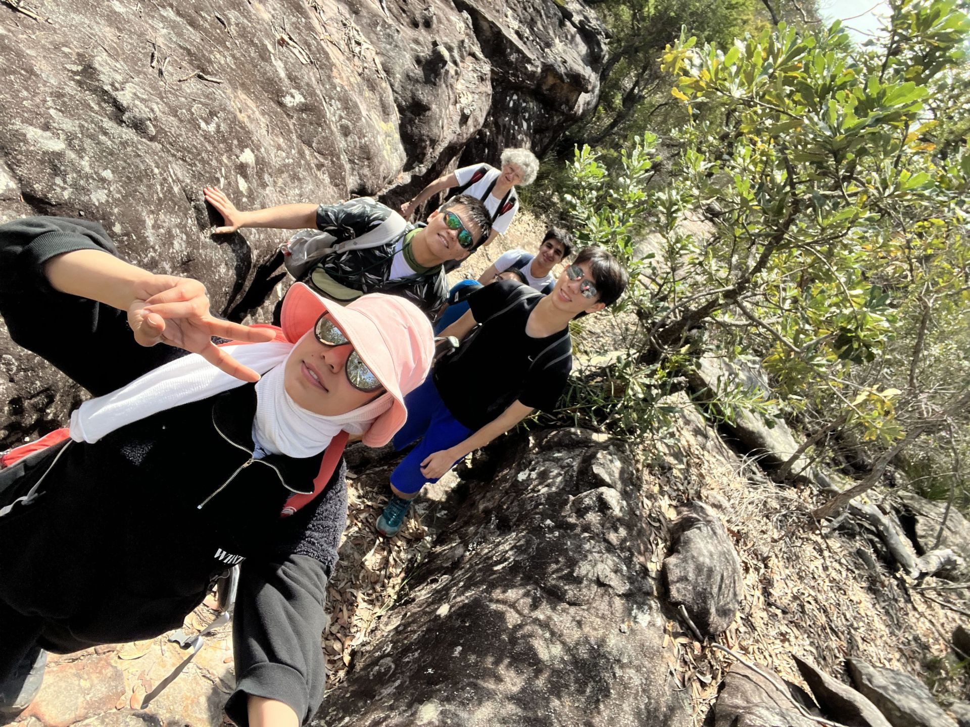
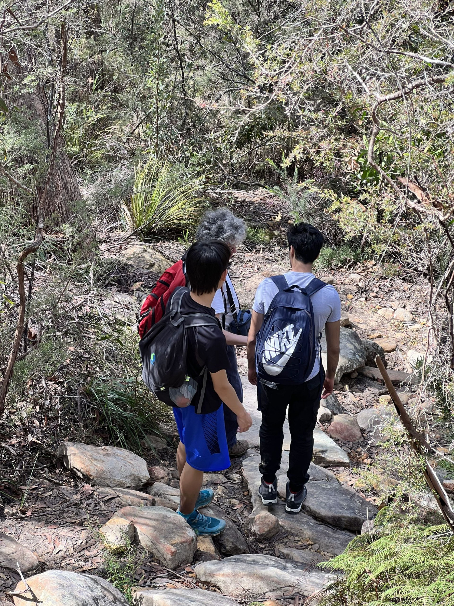
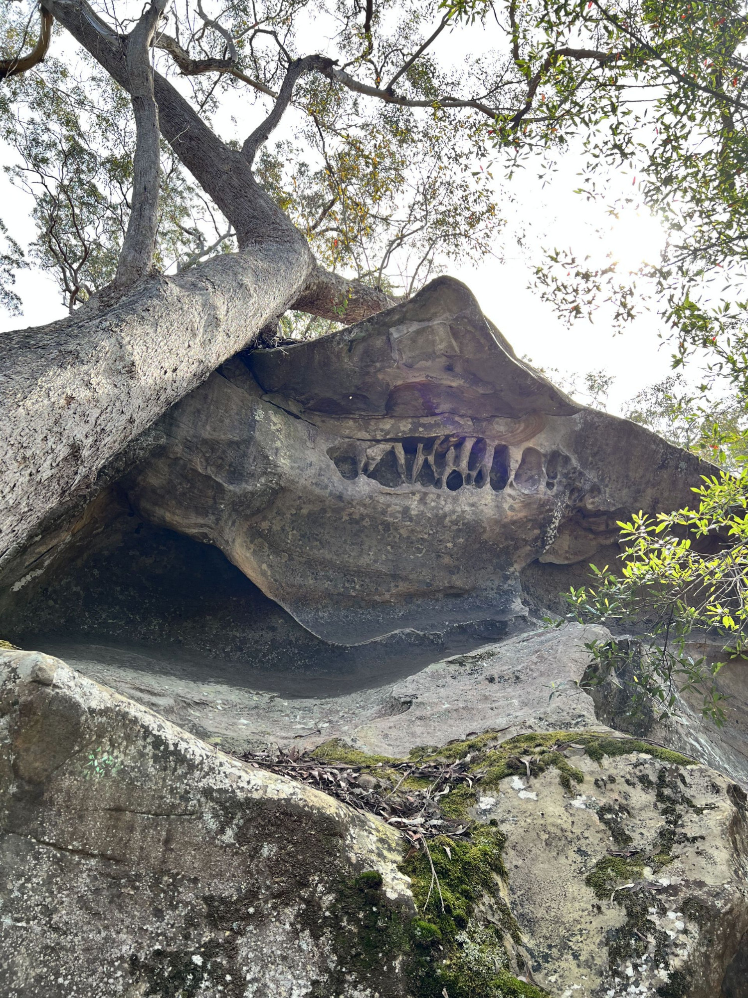
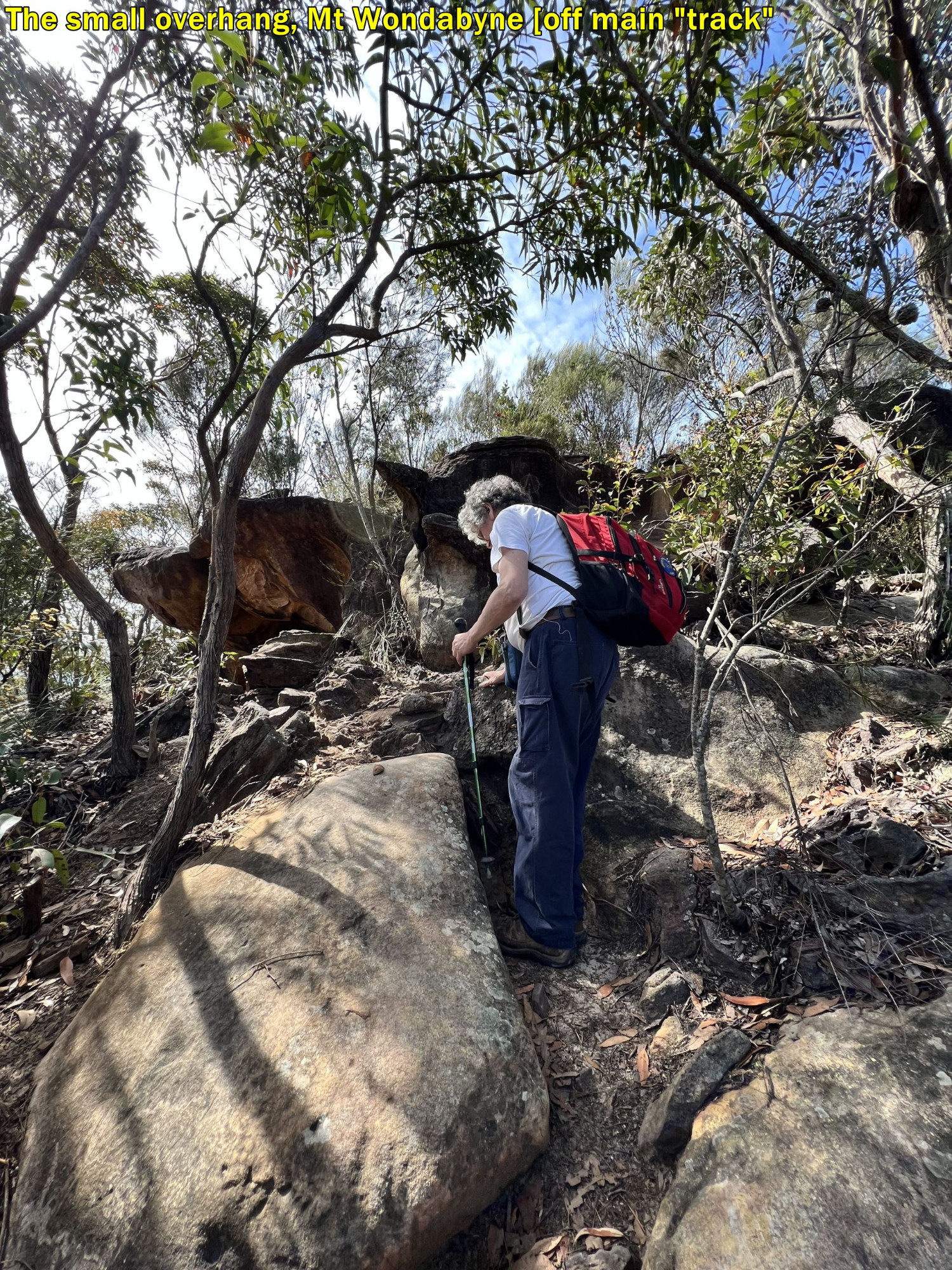
The track straight out of Myron Brook is initially steep and muddy but soon levels out. We did pause for a bit to watch the helicopter and for some to get photos of an overhang by the track. Just around the corner though, Socheat and Armaan were sitting down munching on snacks, saying “it’s OK, we will catch up to you”. As we were going to have a break at Kariong Falls just 200 metres and 5 minutes further along the track, I gave them a “prod” so to speak, to get them moving to the Falls for their snack break. Golden Rule on bushwalks: Ask the leader, it always works!. It solves a lot of problems too. Having a snack while moving along is OK of course. The accident we saw at Myron Brook emphasises just how important it is to always stick together. What if one (or both) of the snackers had been bitten by a venonous snake (and Budour DID see one later on) with no mobile phone connection in this locality to call emergency or the trip leader?
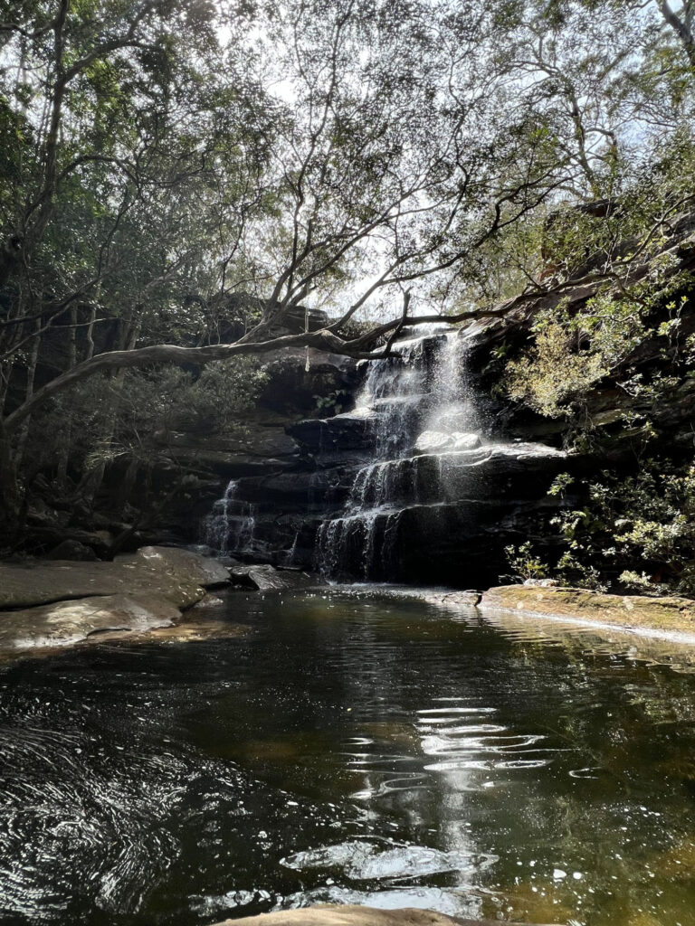
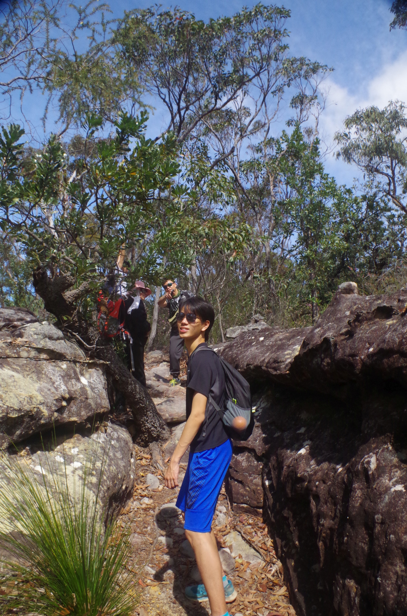
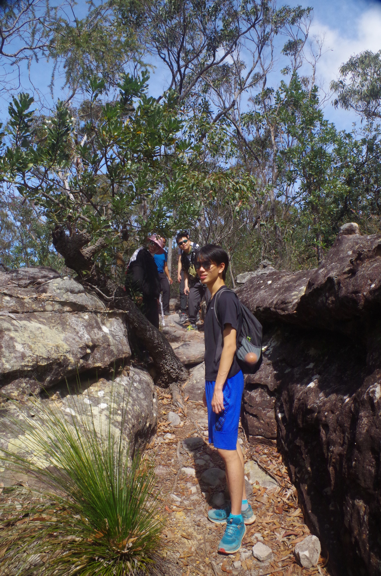
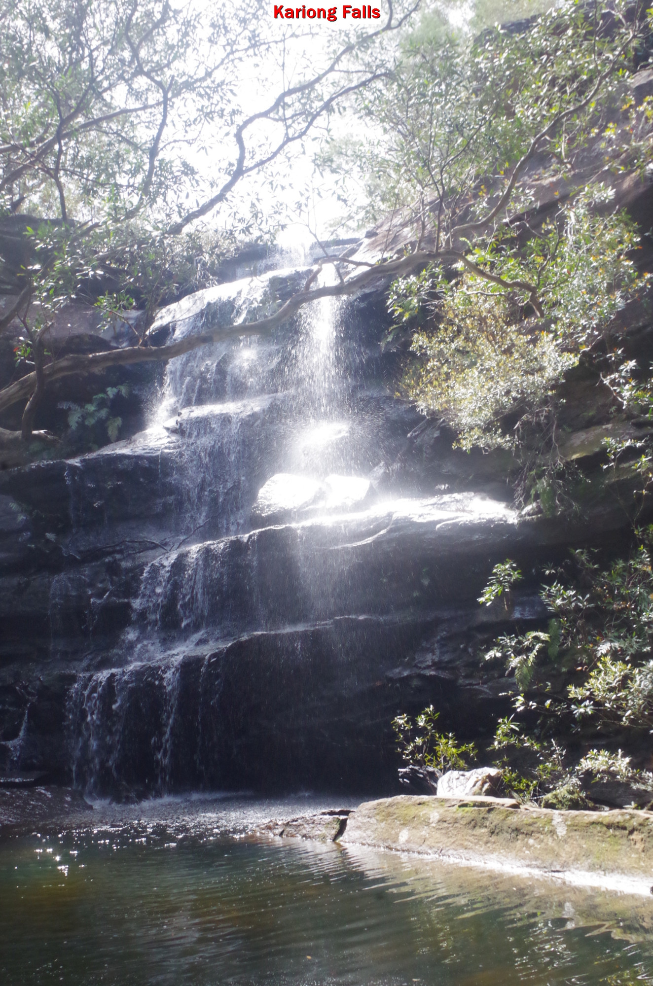
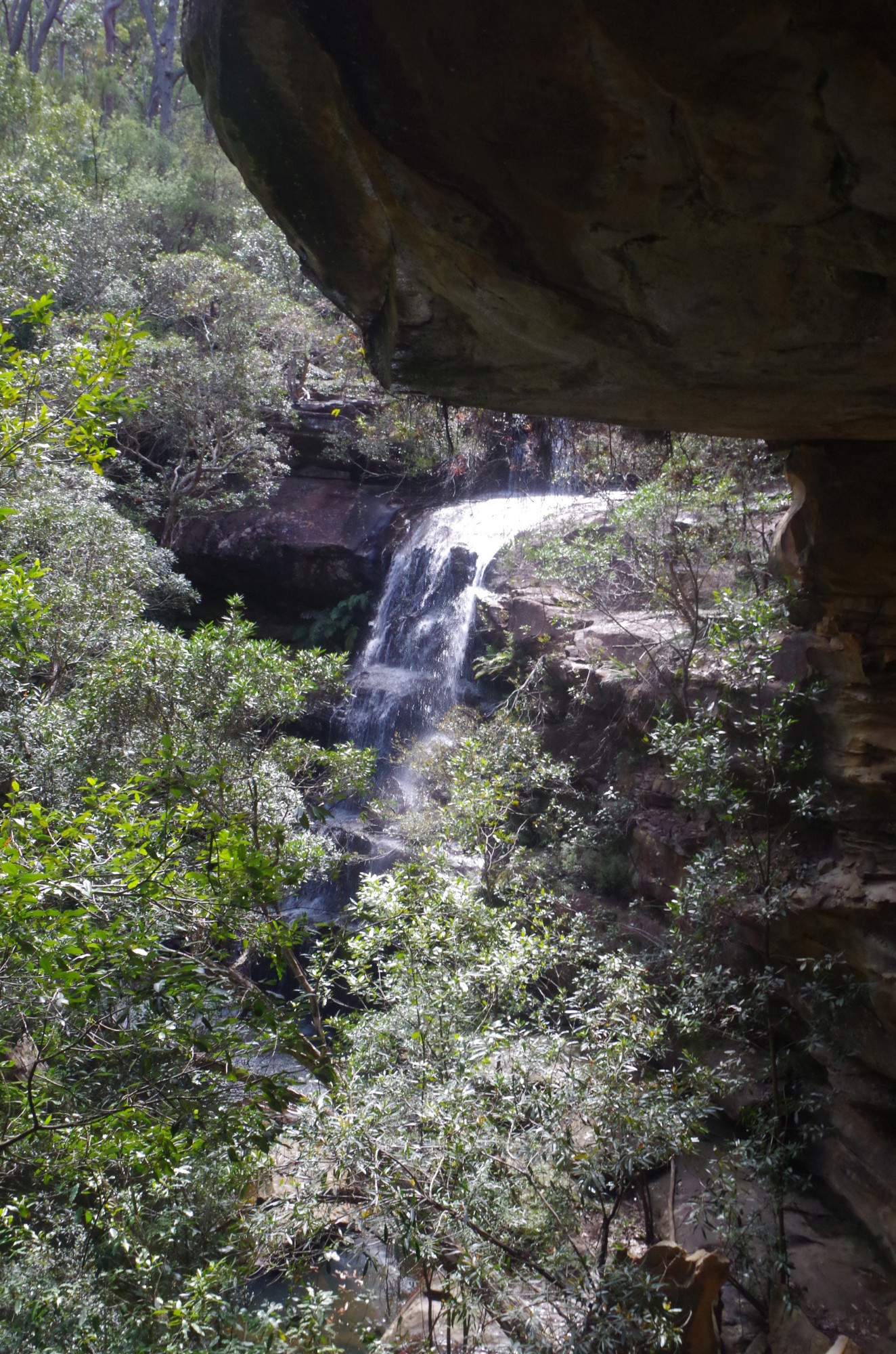
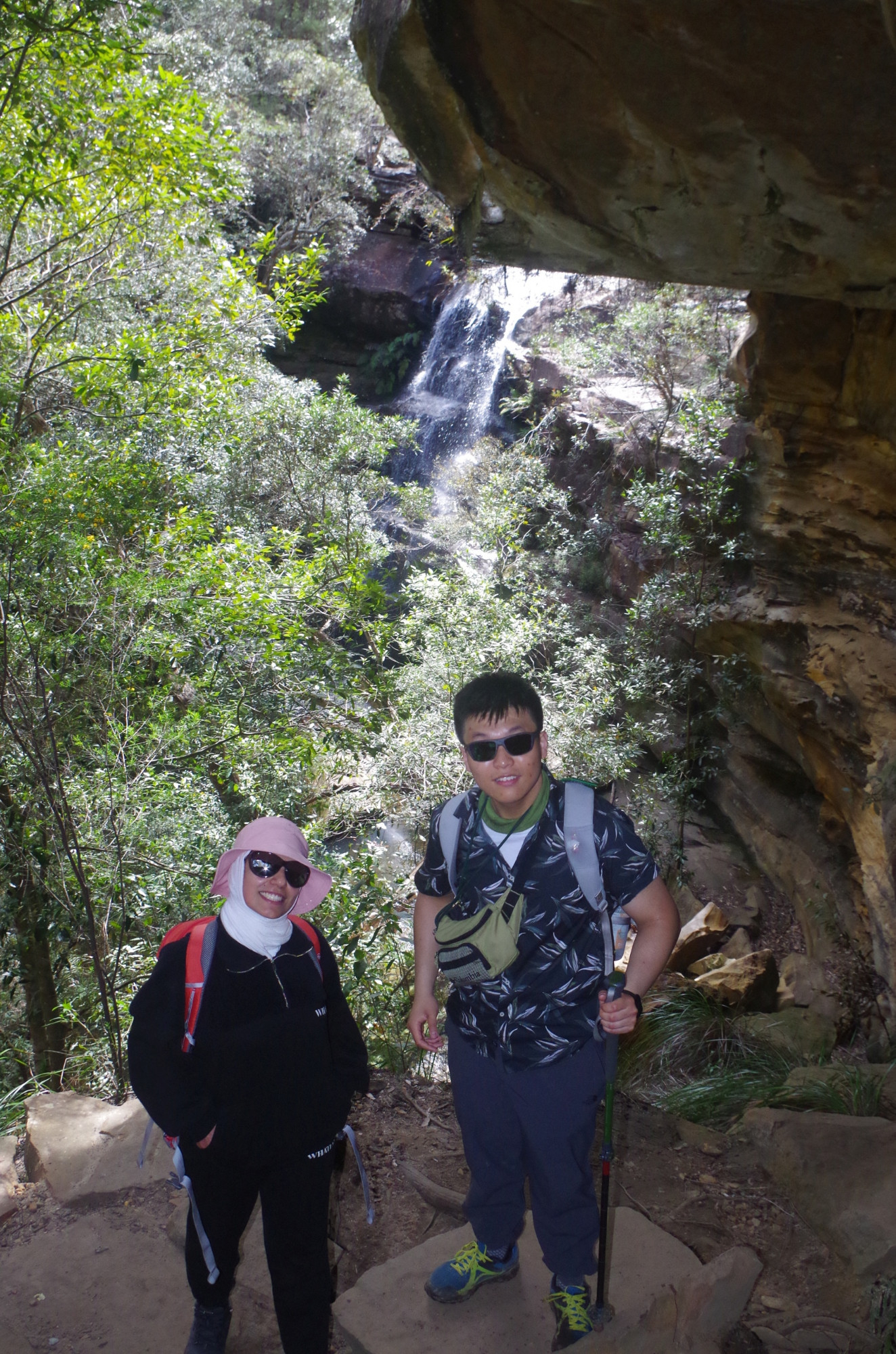
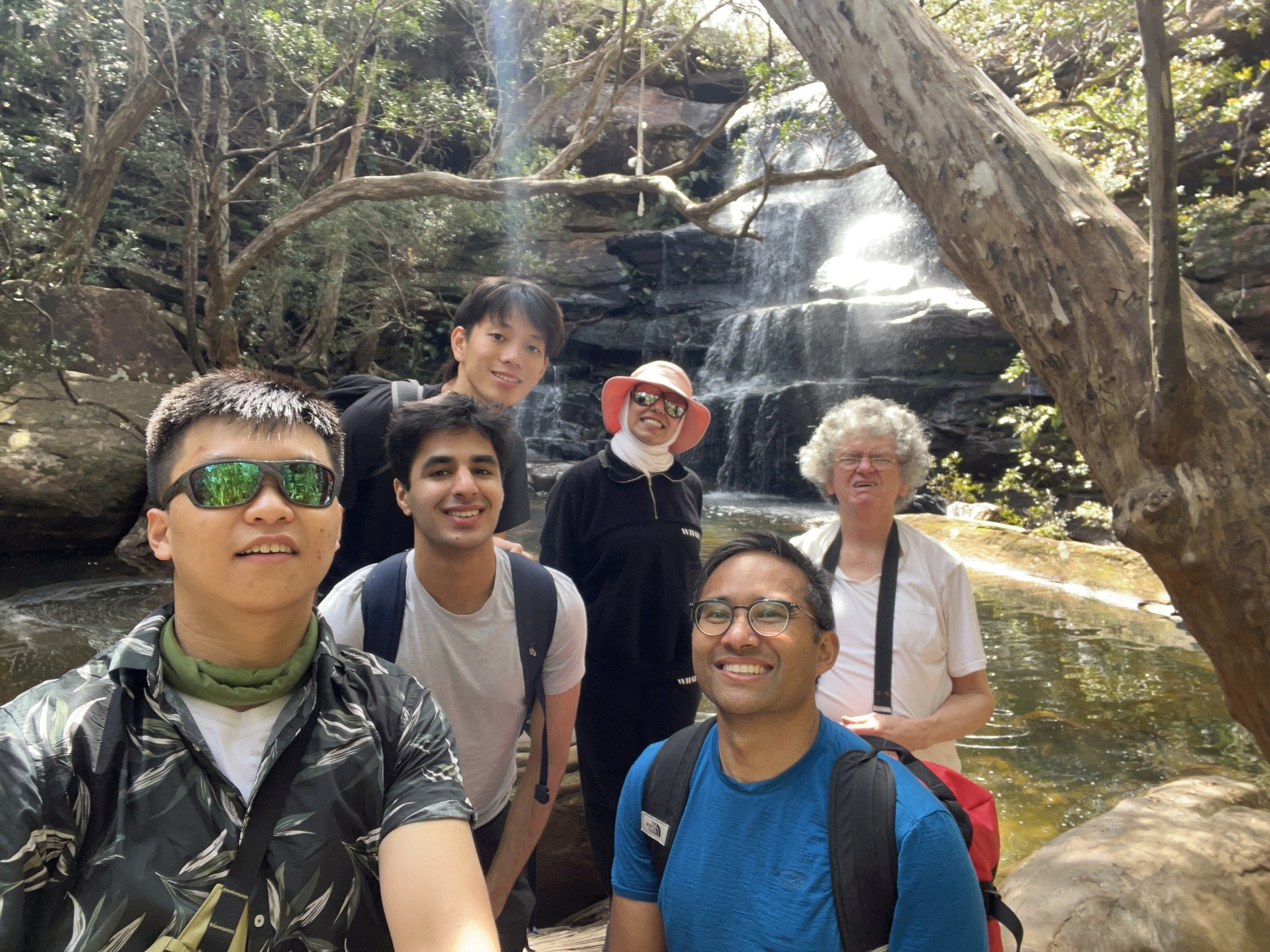
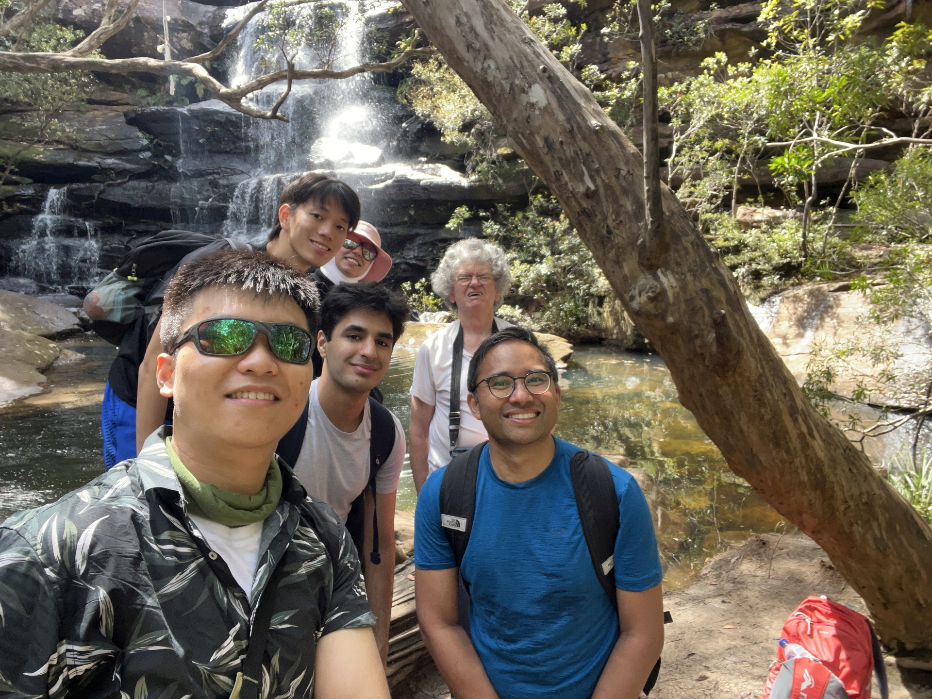
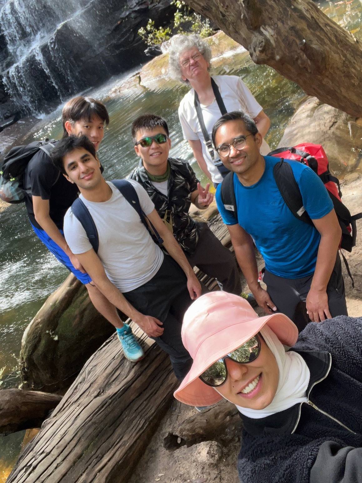
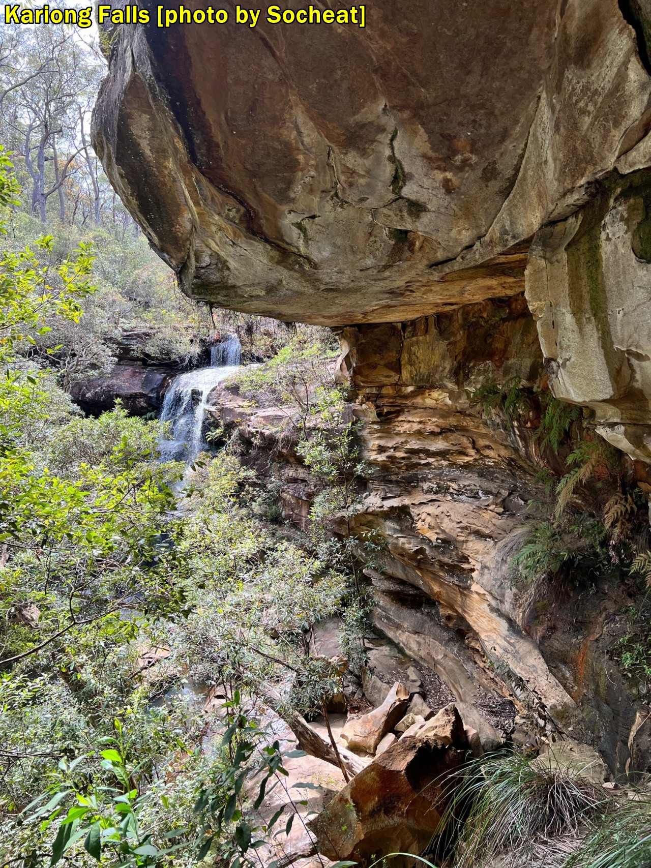
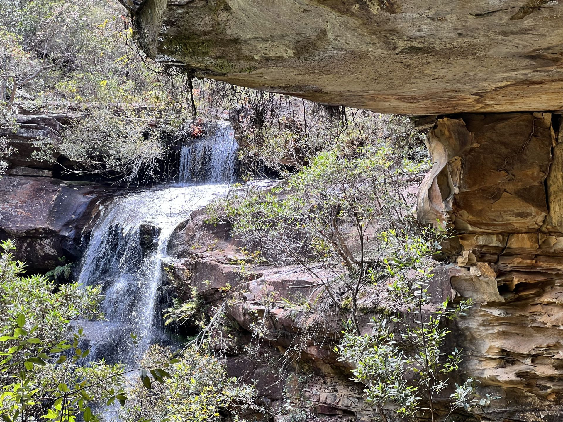
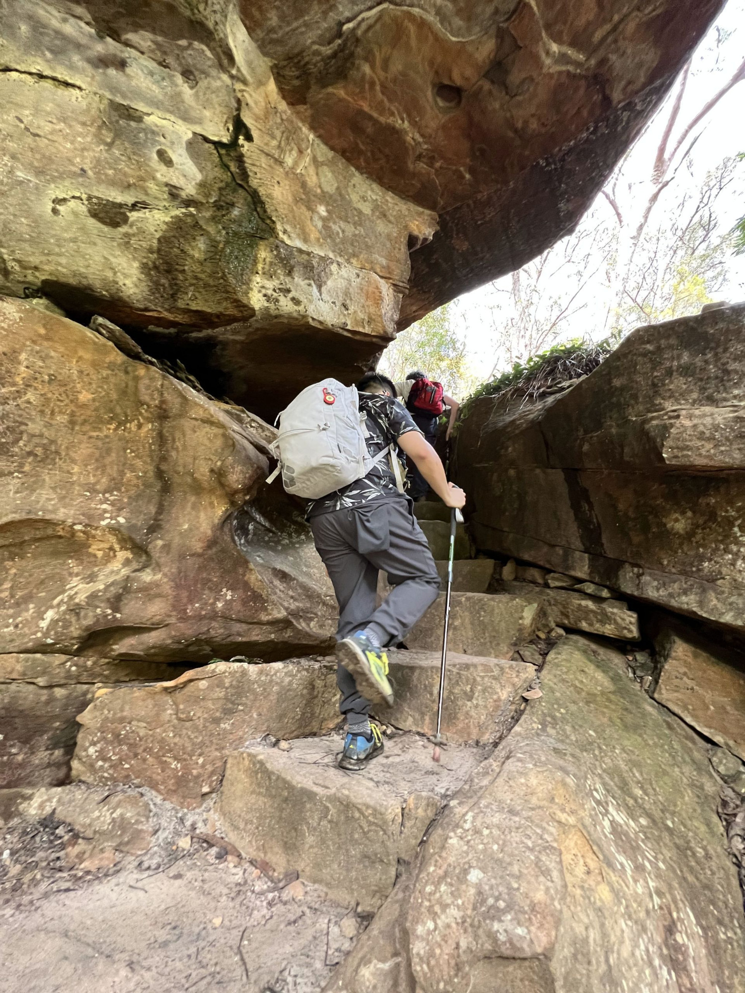
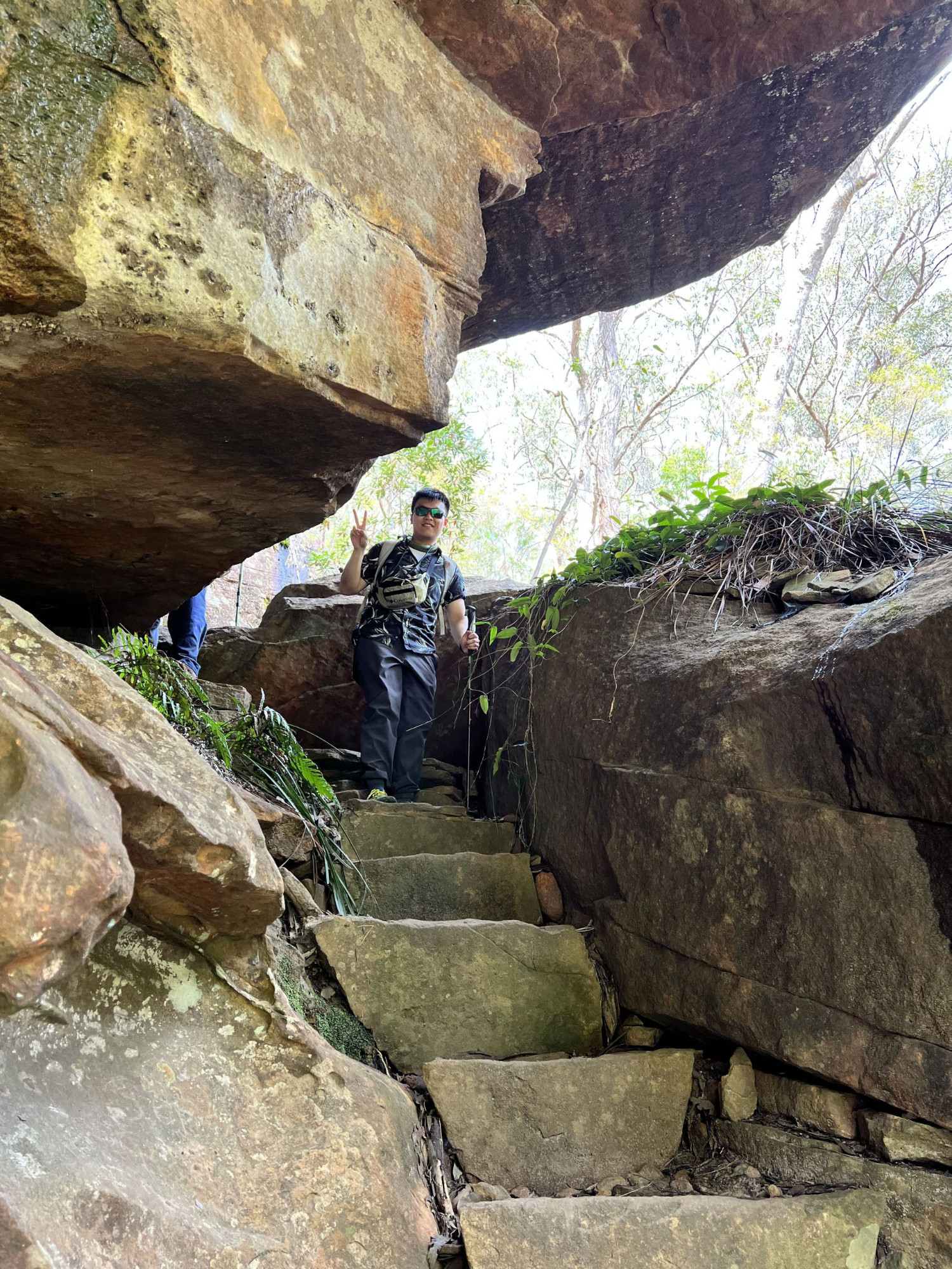
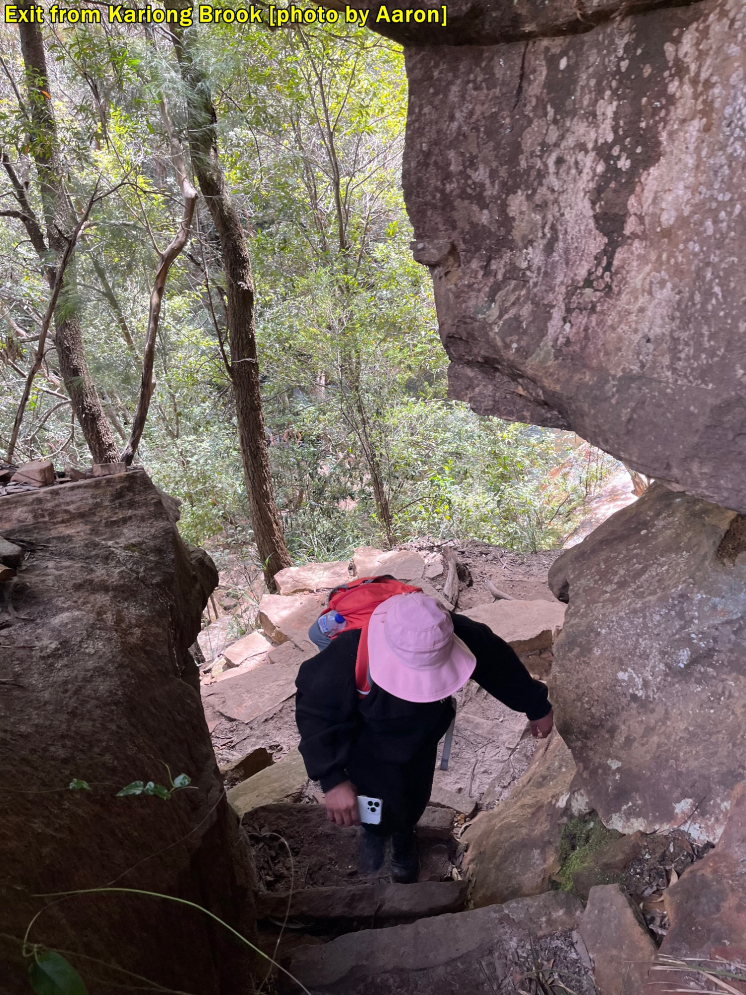
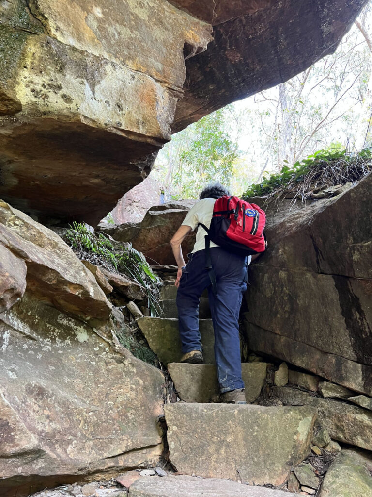
So we arrived at Kariong Falls to have a short break and photostop. This is a swimming spot for some locals on hot days, but I don’t recommend it as there is a Scout Camp further upstream! Someone asked if it was the lunch spot but it was only 11.40am (admittedly we had lost a bit of time due to the earlier incident with the injured walker). Lunch time was to be on Mount Wondabyne around 1pm. From Kariong Falls the track climbs up and initially presents two choices: a rough track almost straight up, and a second one going under an overhang (requiring one to almost crawl underneath unless you take your pack off). The advantage of the latter track is it gives a different elevated view of Kariong Falls, Budour, Aaron and myself went that way. The two routes soon rejoin and wind their way up a steep rough track, relieved on occasion with short level sections, until reaching a campsite, and then on to that track’s junc
tion with the fire trail from Staples Lookout (called Tommo’s Loop Fire Trail). Here, there were some ambulance officers and police who were waiting for the injured person to arrive. They at first mistook us as being part of that other group.
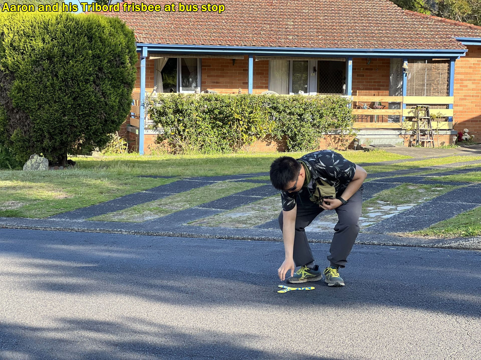
We had a water break here in some shade, needed after that steep climb, and the continued along the fire trail for some distance on level track for quite a while. Then it leaves the woodland area to climb up to some rock platforms. here we had another very short “breather” and water, and it was here that Aaron decided that he might start a game of “catch” with the “Tribord frisbee” he had brought along. I quickly squashed that plan, as this was definitely not an appropriate place or time to start playing games! We still had 45 minutes of walking to reach Mount Wondabyne which we could now see in the near distance, and we were behind time. Playing games on walks with frisbees or whatever is fine, but needs to be during an extended break like lunchtime and where your “toys” are not likely to fly off into the bush needing a search party to find them! (You may get a chance to do that on the upcoming “President’s Bludge Trip” which I will mention later).
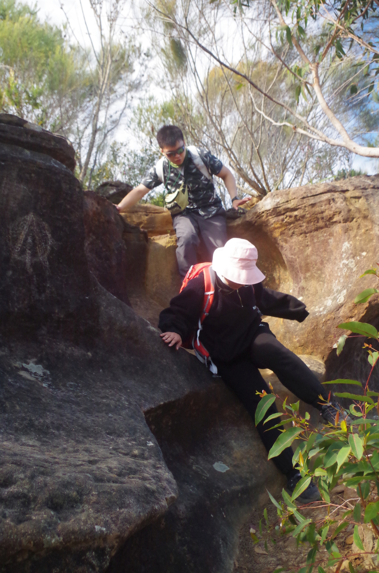
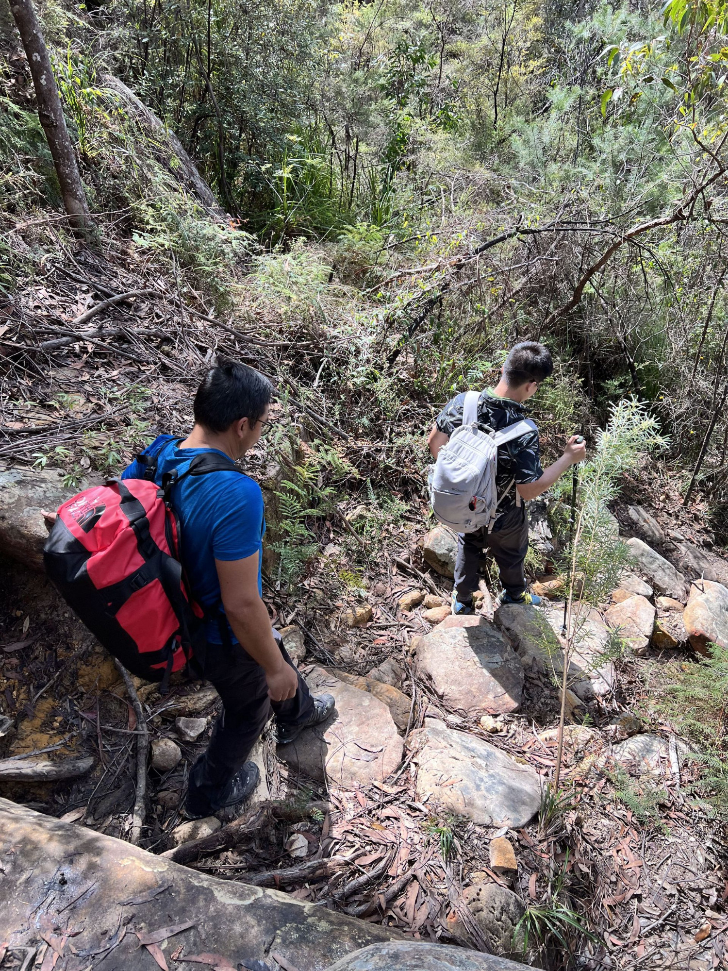
Shortly after, the path leaves the fire trail and continues along a bush track, quite muddy in some sections, On a rock platform there are aboriginal tool sharpening grooves, and also some slippery rocks. On one rock platform Socheat got a bit ahead and hid behind a bush and tried to scare Aaron by leaping out of the bush when Aaron passed it; didn’t work! (Socheat, maybe practise that for a “Halloween walk” which I will mention later). After that, the track srosses some more muddy waterlogged sections, and Budoor let out a yell; she had seen a snake on the track and had come to within a metre of it before it moved off, From her description it was probably a Tiger Snake, the World’s fourth most venomous land snake (they are common in this damp area as they love to eat frogs).
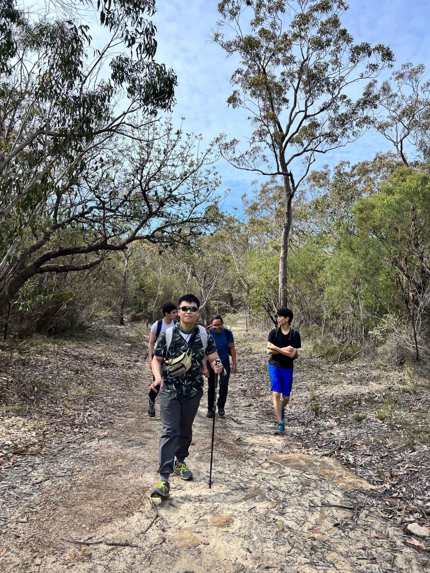
Soon after we got off the muddy track and turned right at the Mullet Creek Fire Trail which also serves as an access to both ends of Woy Woy Tunnel. A few hundred metres along this brought us the the stony track to Mount Wondabyne, called “Hawkesbury Track”. Meanwhile, Armaan and Kwun Ming had decided to run ahead and had not waited at this track junction for the rest of us to catch up. After all “the sign says Mt Wondabyne” as Socheat said. It would have been very tempting to teach them a lesson by going straight ahead to a shady glen near Woy Woy Tunnel for lunch, then giving them a phone call to come there! We had actually done that side trip on a couple of past walks held on a saturday when there are more frequent buses to Woy Woy Station from the walk end point. Still, I didn’t give in to temptation (which would have added more time which we didn’t have available), And of course I didn’t want to break up the group.
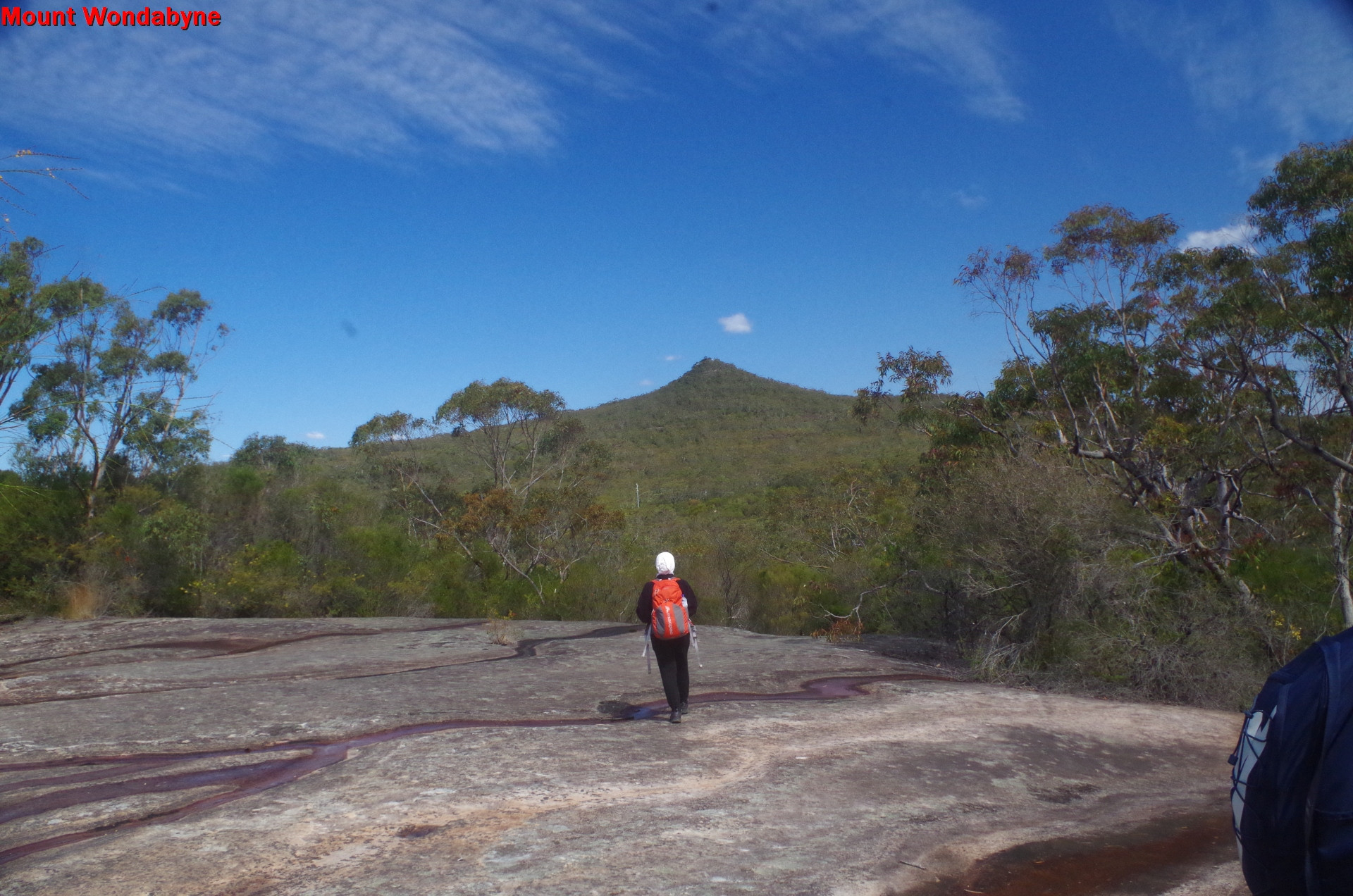
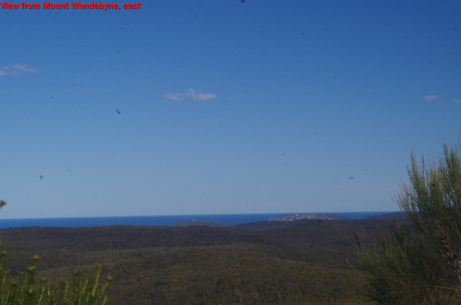
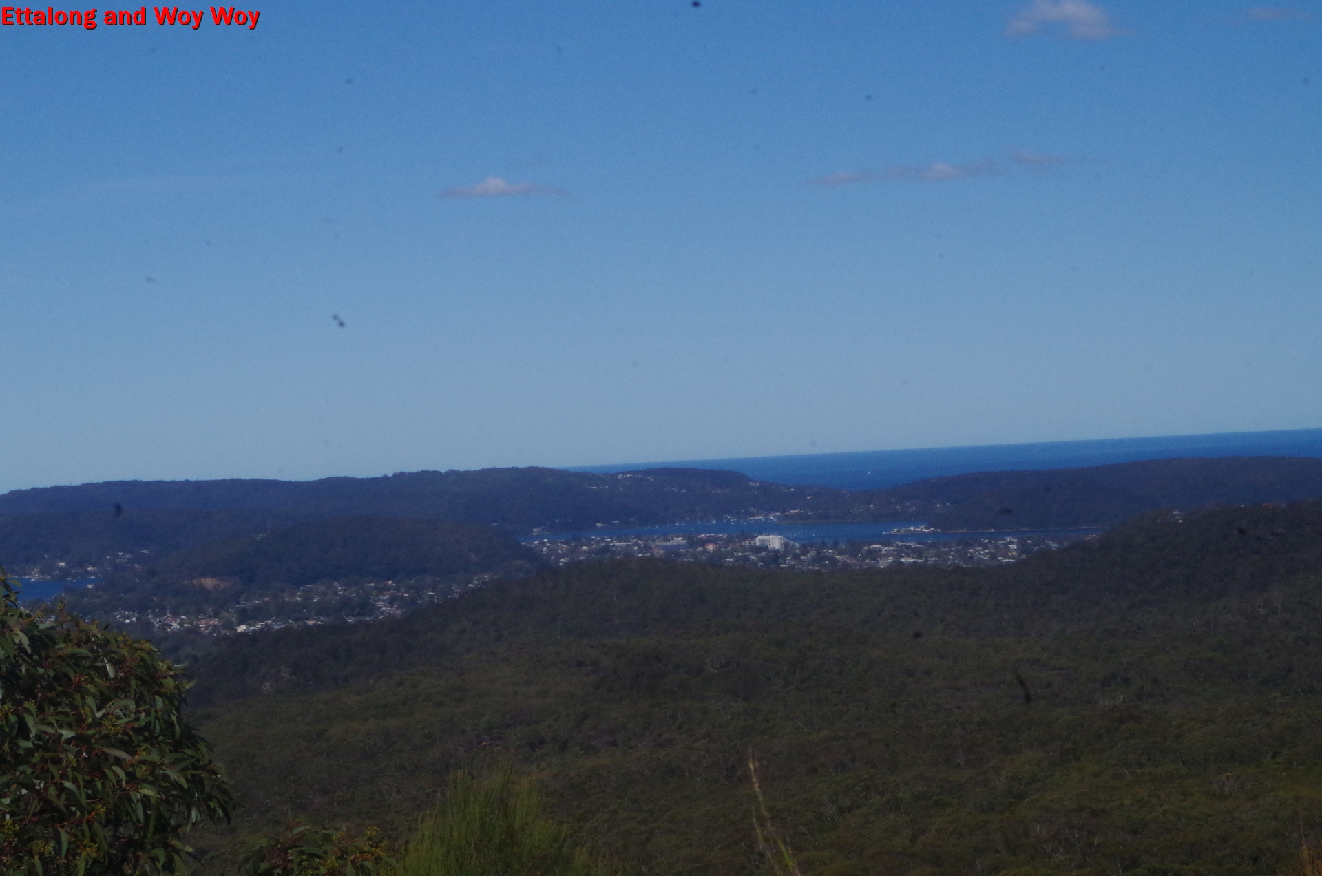
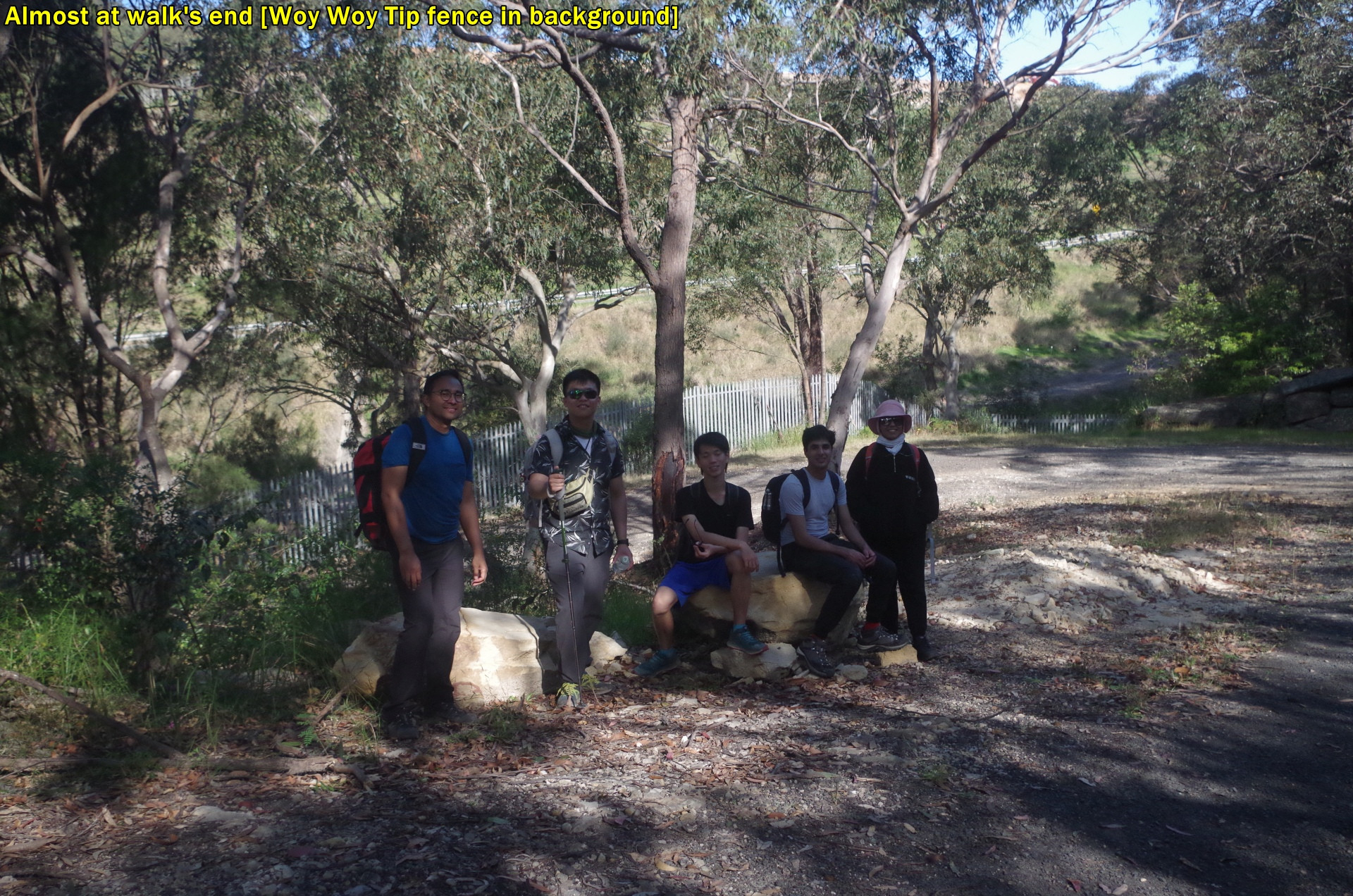
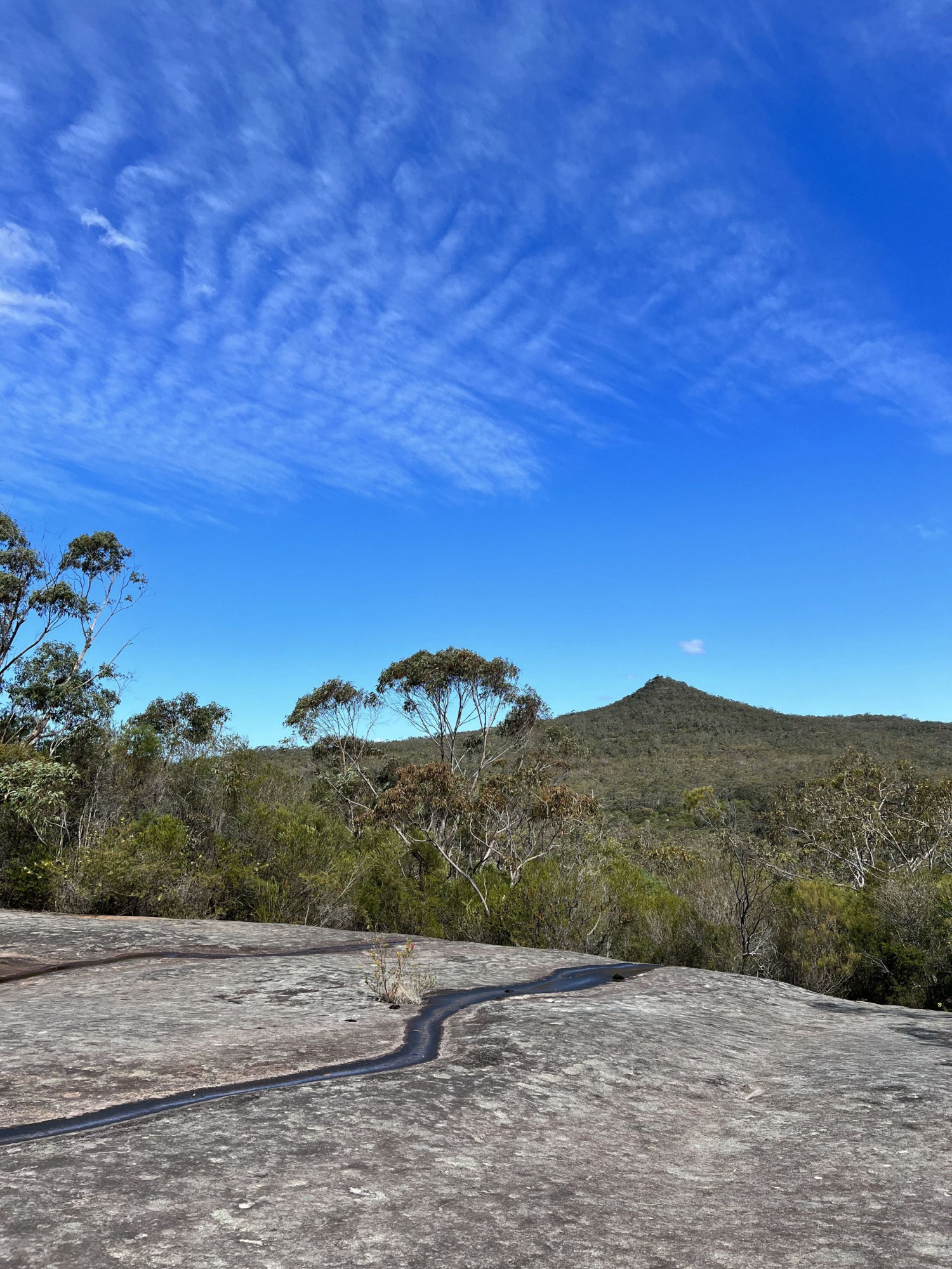
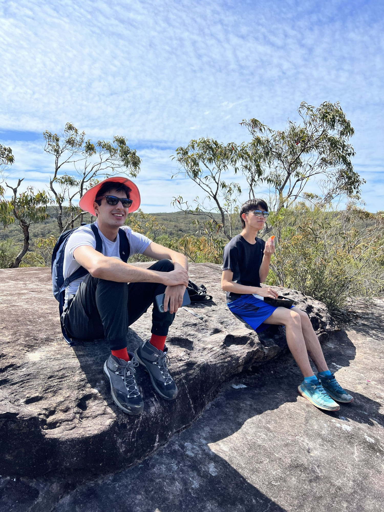
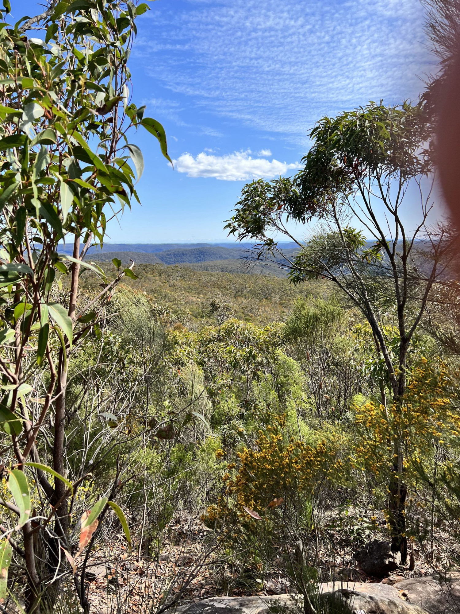
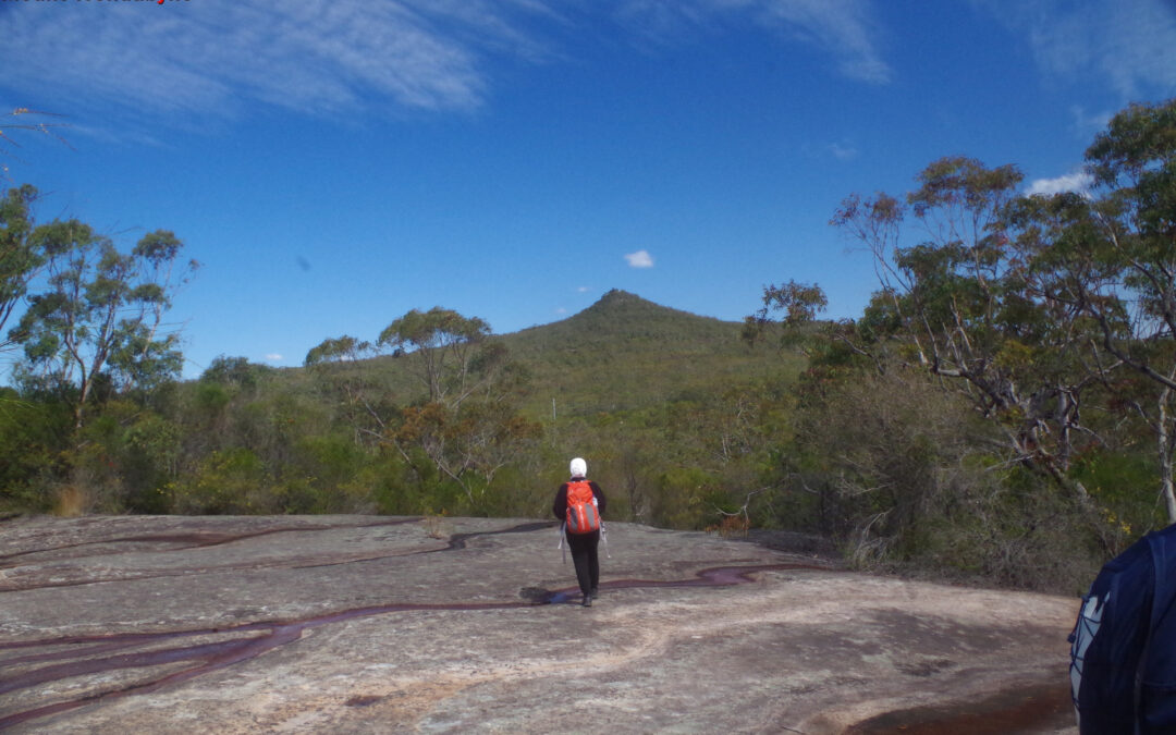
Thus we set off along the track to Mount Wondabyne which rises gradually at first, then more steeply over a rough stony track through heathland with no shade. This section can get quite hot and energy-draining on a very warm day, which is why it’s best to avoid this walk at the height of summer. After quite a while of this the track levels out just below the summit of Mount Wondabyne, and then a side track leads up to the top of the mountain itself. There is a small overhang there if shelter from rain is needed, otherwise just go straight up by a quite steep track to the top. We could have gone another 5-10 minutes to the trig point (the actual summit), but it’s hardly higher than where we stopped for lunch. We had views towards the Blue Mountains to the west, and over Woy Woy and Ettalong to the coast and the sea on the east. Unfortunately there is also a good view of the scar of Woy Woy garbage tip!

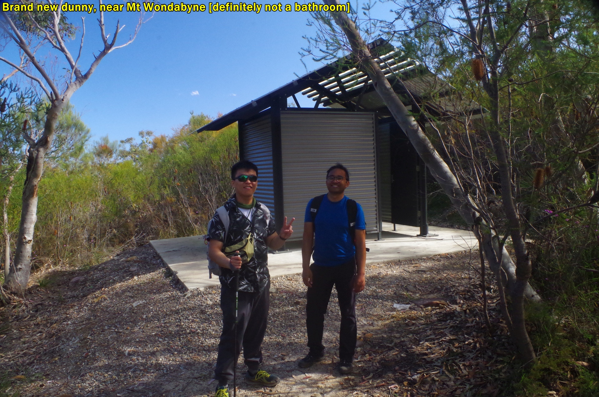
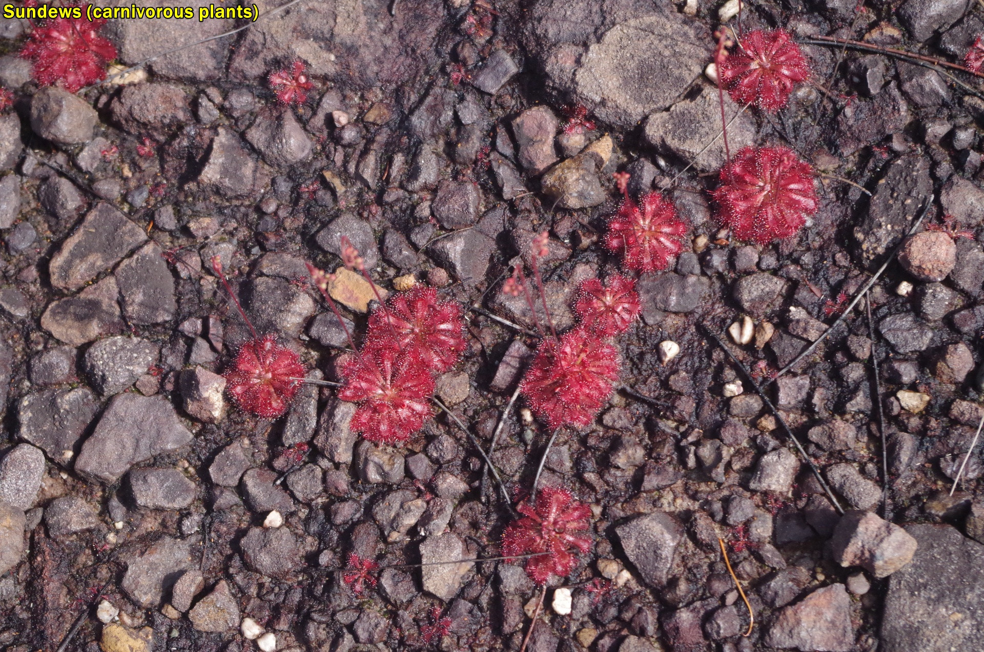
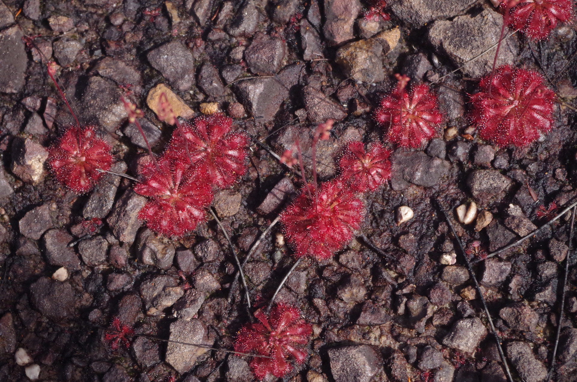
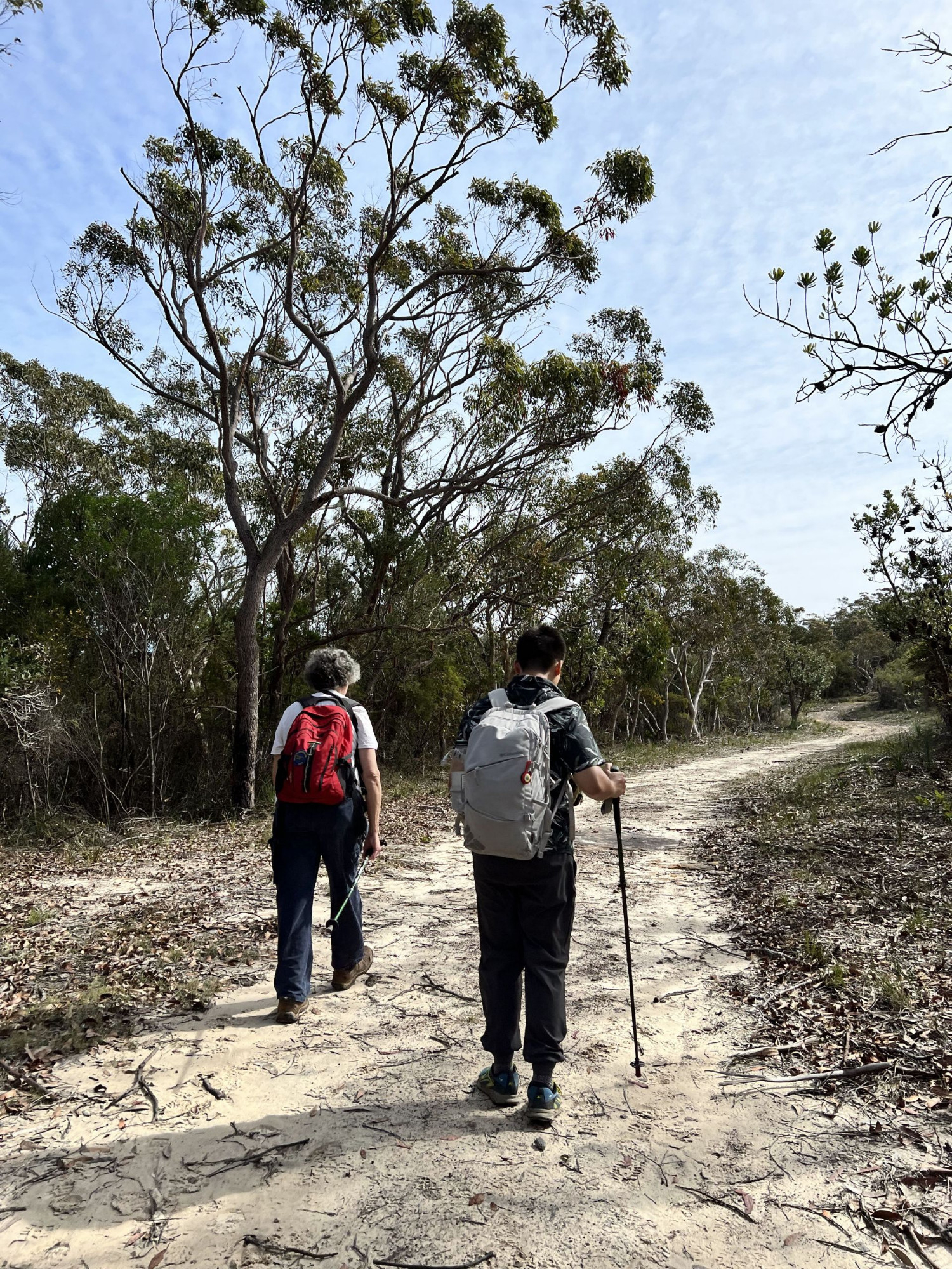
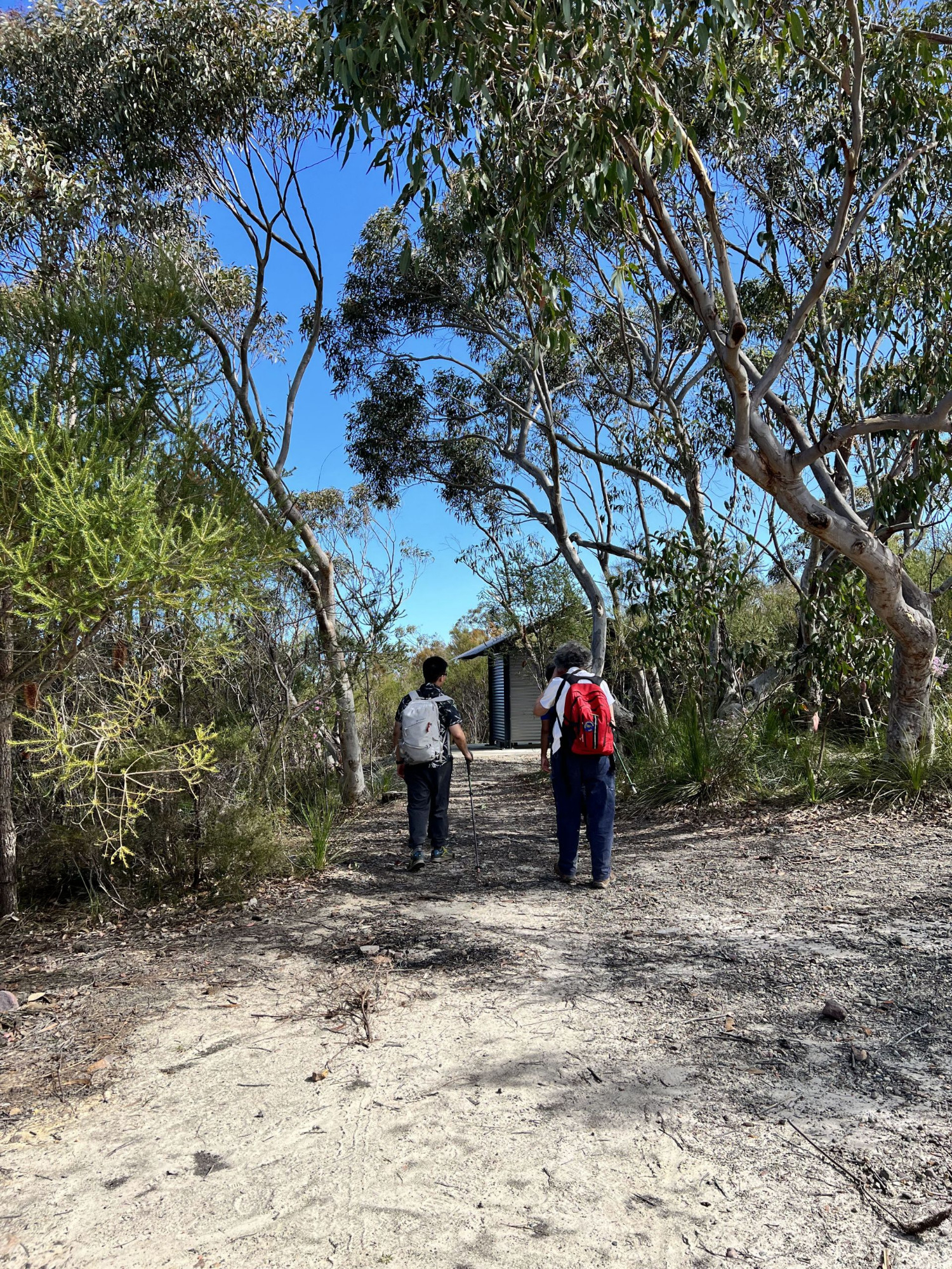
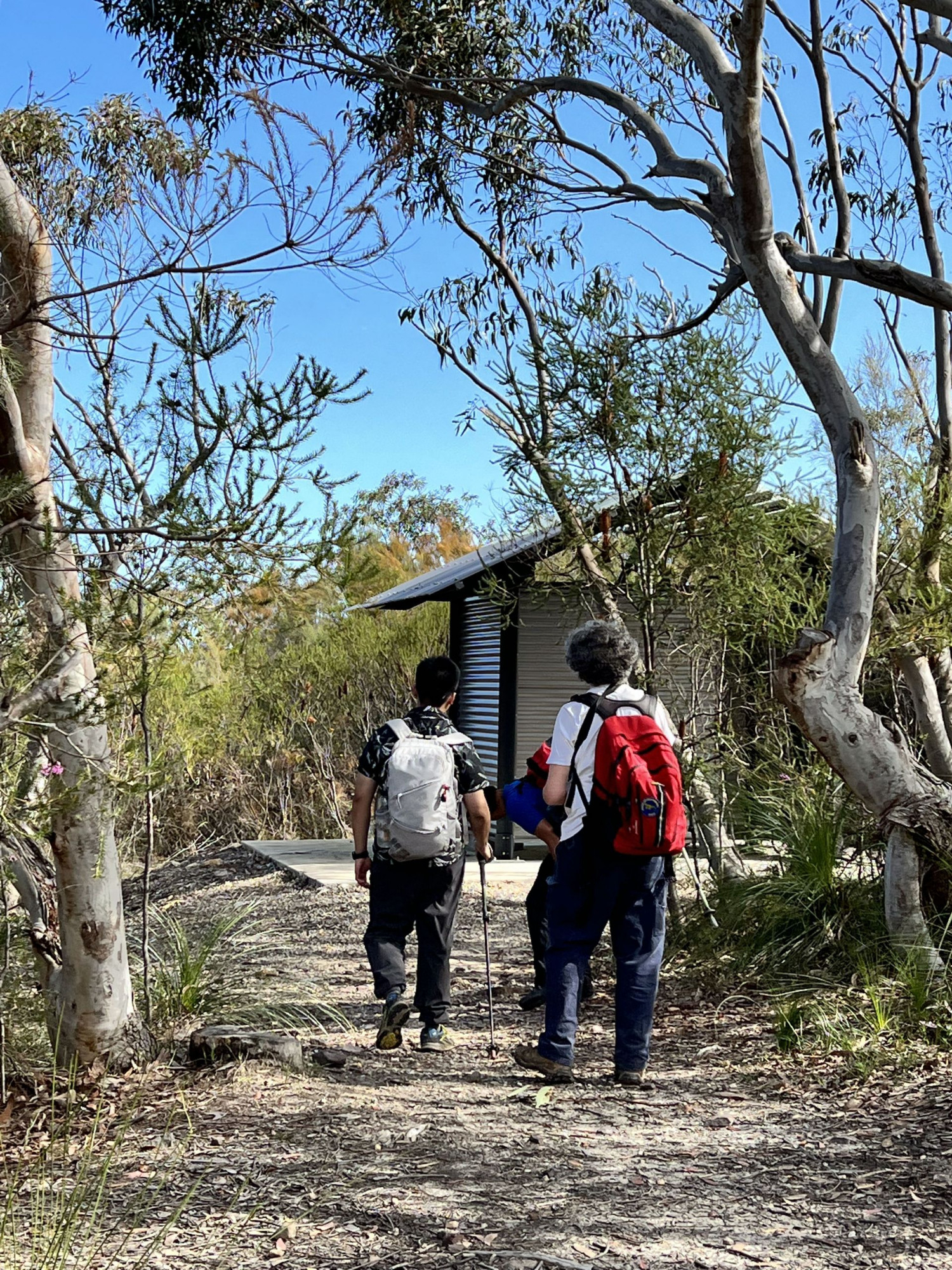
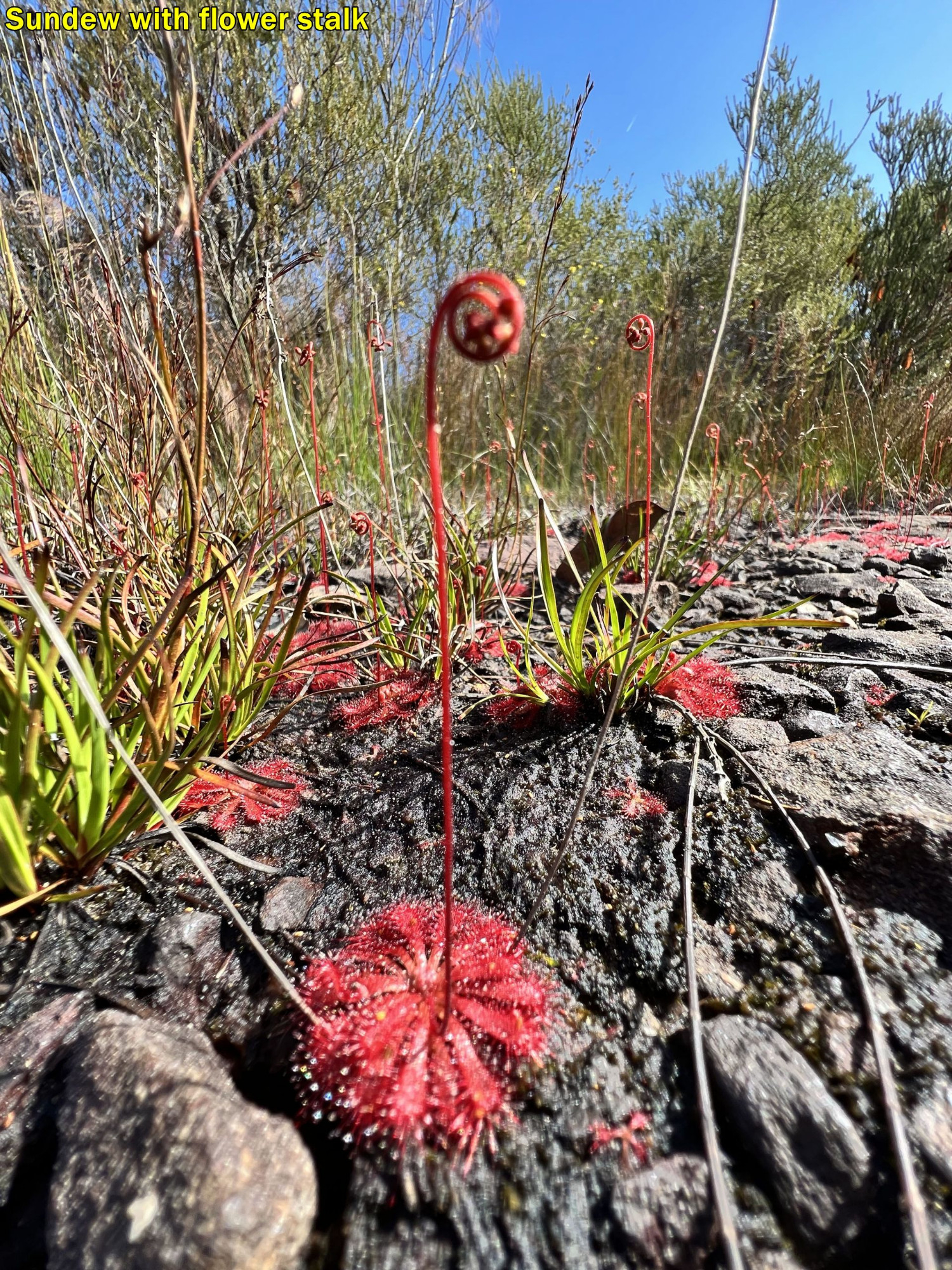
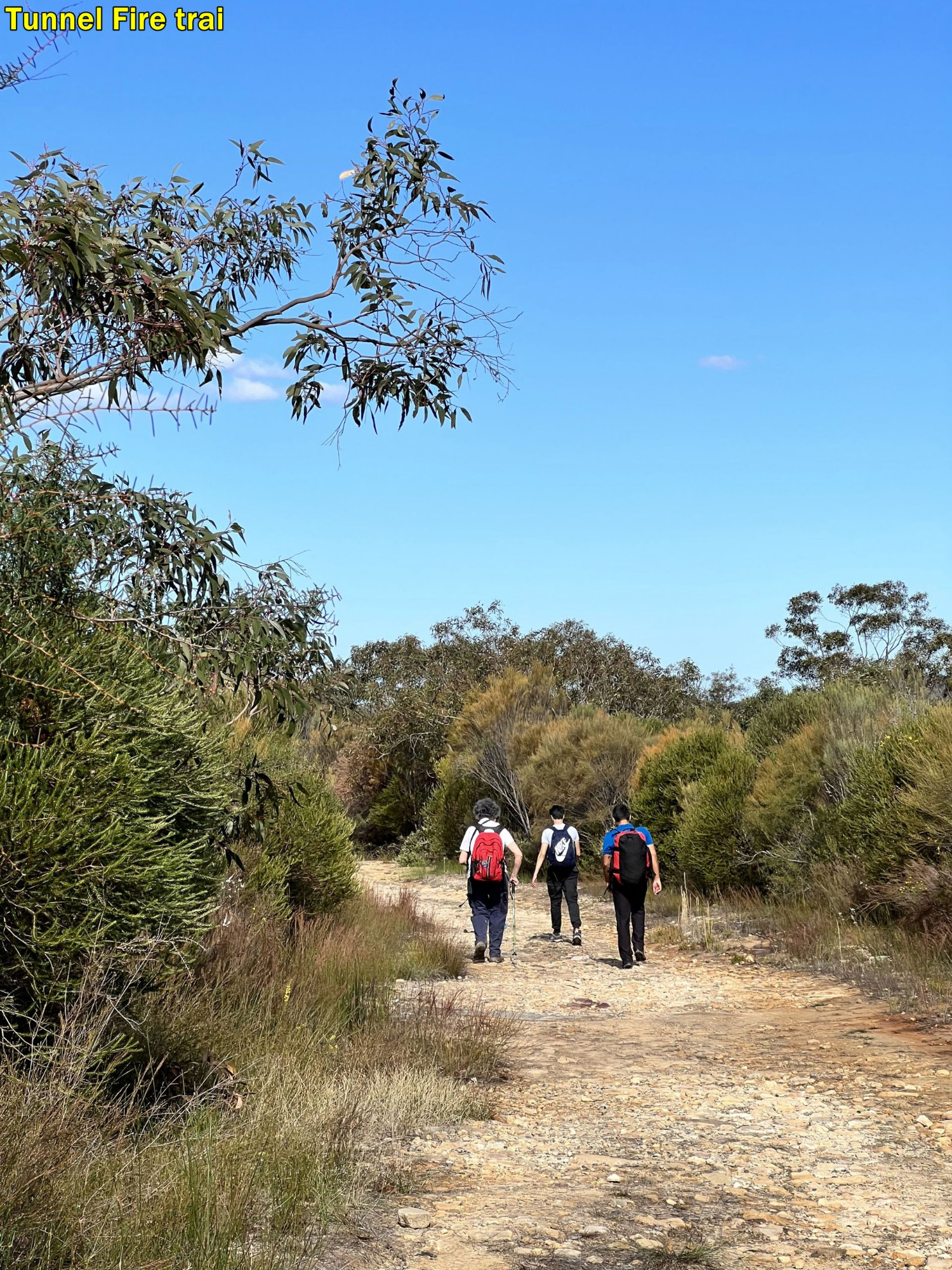
After lunch there, we set off back down the short but steep track back to the “Hawkesbury Track” (still part of the Great North Walk [GNW]). A few minutes brought us out to the “Mt Wondabyne Trig fire trail”. There is a clearing here and we found that National Parks have now installed a brand new pit bush toilet (“Dunny“), but no bath or shower so it wasn’t a bathroom. From this point onward the track simply follows a series of wide fire trails, so is essentially the end of the bush track section. The fire trail drogs down gradually to a T juction with “Tunnel Fire Trail“, misnamed as it doesn’t connect to any tunnels. Before we got there, however, I spotted some carnivorous plants beside the rioad on damp ground near a hanging swamp (see photos). Turning right at the T junction takes us another 700m or so to a very short (20 metre) track to

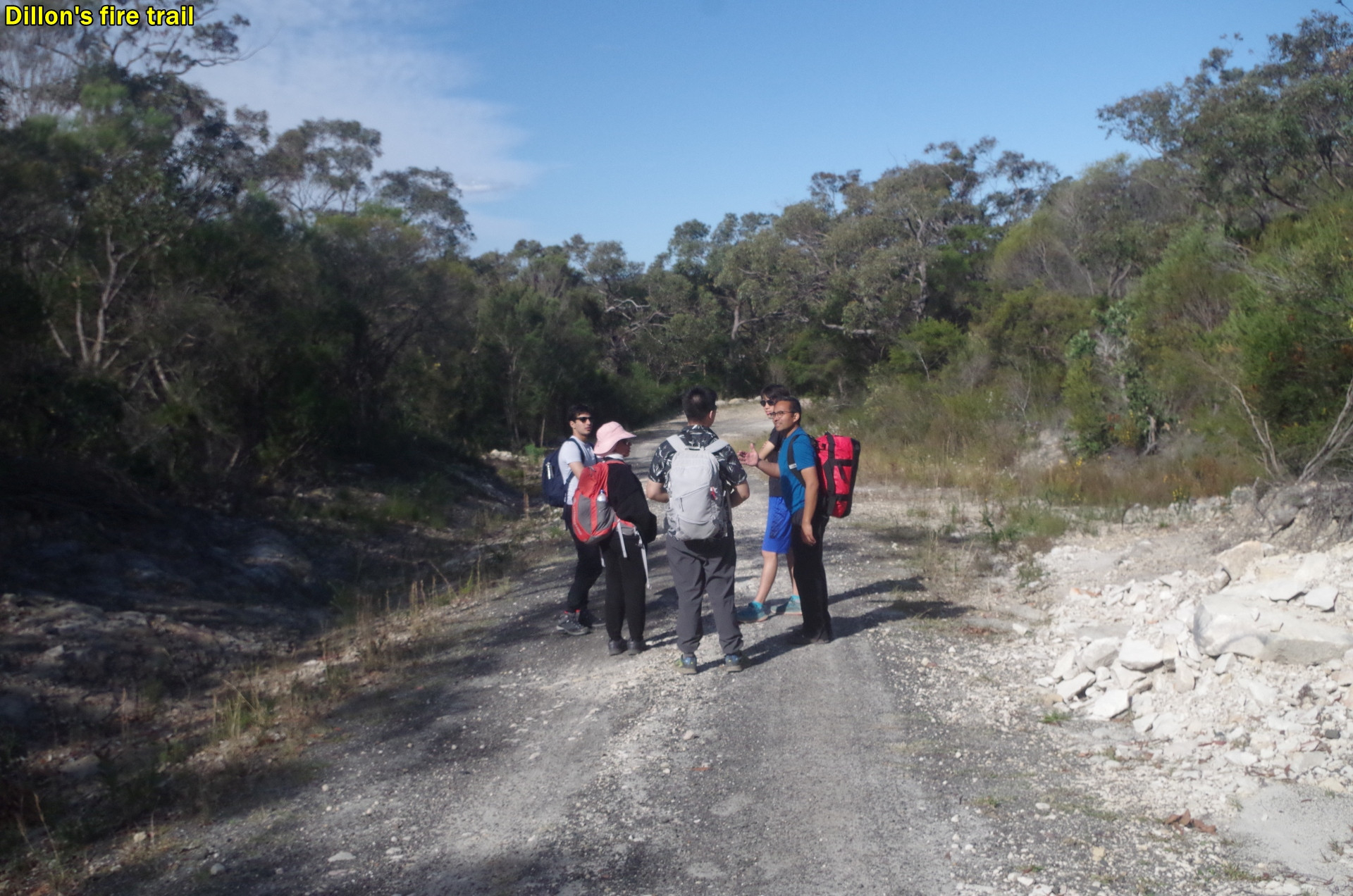
Dillon’s Fire Trail, where we turned left (going straight ahead is the GNW track to Patonga).
I had an interesting little coversation here with Aaron who said that in colloquial Australian English, the plural of “you” is “youse”. What??!! I asked him who told him that, and he said he saw it on YouTube. And also that same video said that the equivalent colloquial term in the U.S. is “you-all”. Sounds like he was watching a video made by some self-styled “experts” and there’s no shortage of those on YouTube and the internet generally. You would never hear a New Englander or New Yorker say “you-all”; it’s mostly confined to the southern states, particularly Texas. “Youse” sounds very uneducated. My advice to people who speak English as a second language is this: unless the video is by a professionally trained English teacher (such as videos by “English with Lucy” and “mmmEnglish” (with Emma)), be very careful with what you see or hear. There’s a lot of Know-alls, jerks and effwits posting nonsense on YouTube.
Back to the walk. Dillon’s Fire Trail winds downhill until getting to a more forested area and then the fence of the Woy Woy Tip comes into view. It continues along and passes through a narrow gap in a steel gate (which is always open to bushwalkers 24/7) and shortly comes to a bitumen road called Nagari Road. This road has no footpath beside it and the road verge is quite narrow in places, so I advised everyone to walk in single file along the edge. At one point I noticed that Socheat was no longer in single file and on the road, and I asked him to get back in the line, and only just in the nick of time, as a few seconds later a vehicle towing a wide trailer came round the bend on our side. The worst injury to have happened to any walker on my many past walks so far was a sprained ankle, and I want it to stay that way! Don’t want road accidents!
After 1km, Nagari Road passes through another steel gate (also open 24/7 to bushwalkers) then follows the railway line to reach its intersection with Shoalhaven Drive which goes left under the bridge. When Aaron saw the railway line he though we were near the station, but afraid not, there’s another 3km of walking, but we were getting a bus to Woy Woy. Shoalhaven Drive is now blocked off to cars on the opposite side but not to walkers. We went another 300 metres along this road to turn left a few metres into Nambucca Drive where the bus stop is for the bus to Woy Woy Station. The bus came 8 minutes later and that gave Aaron a chance to play with his frisbee at last. We arrived at Woy Woy Station with 24 minutes to spare before the train back to Sydney, but only 8 minutes before my own train departed going north. The others (except Socheat) went off looking for something to eat in the 24 minutes available to them. Catching the bus from Nambucca Drive cuts out 2.3km of walking, Theoretically it would be possible to continue walking to Woy Woy Station, but most people would have tired lags after walking the rough tracks to Mt Wondabyne, and would prefer the bus. In any case by walking you would arrive at Woy Woy maybe just 5 minutes before train departure, leaving no time to buy refreshments at Woy Woy shops.
It is an interesting walk, and not without some potenial hazards as I have described. “Wildwalks” website describes this as a “hard” track, rated 4 out of 6 difficulty level, and that’s about right. The gradients are tolerable, but the track can be very rough and hard and stony in places, and not a lot of shade along 3/4 of its length. That’s why it can be a walk to avoid in mid-summer.
It looks like we have almost lost the battle of calling toilets “bathrooms”; I gather that in the U.S. you ask where the toilets are, you are considered to be very blunt. “Hiking” instead of “bushwalking” is also making inroads now too. Gas, electricity and petrol prices hike; we go bushwalking. It is quite OK though to refer to the poles Aaron and I had as “hiking poles”.
And speaking of “bathrooms”, look at this information to people in the Late Queen’s “Lying In State” queue in London last week:
“Public toilets, drinking water and first aid stations are available at designated locations along the queue route”
But not a single bathroom for the people in an 11 hour queue! Terrible!
I originally had 14 people sign up for this walk, effectively filling it. Yet only 6 turned up! One person called in sick soon after 7am, one other texted 45 minutes after train departure time that “he couldn’t make it” (sounds like a sleep-in), and one texted that she missed the train and could we wait for her until the next train arrived an hour later. I replied that I can’t hold up an entire group for an hour, so she had to miss out. There were, however FIVE absolute “no-shows” who haven’t provided any reason for not showing up. One of those was also a “no show” on my Newcastle walk in March. I recall a Club email going round sometime last April or May about the frequency of “no-shows”; maybe time to send it round again.
I will give a “plug” for the President’s Bludge Trip (PBT)”, coming up on the first weekend of October. As Chloe states on the walk description, it is not an easy walk at all; it is quite hard. The Kowmung River is a pristine environment (assuming it can be reached this time and apparently it can be). Unfortunately the Kowmung River is under threat from a plan to raise the level of Warragamba Dam by as much as 16 metres, to stop downstream flooding. It’s a stupid plan, more about releasing downstream floodplain land to developers than about stopping floods, which it won’t. If you do this trip, you will appreciate what might be lost if this dam-raising plan goes ahead. I will not be doing it this year, but will organise a walk for those who might find it too hard.
Another walk that has been requested is a “spooky Halloween Walk”. This walk has been done in recent years on or near halloween, 31st October (a monday). I will see what can be done, and it is likely to be an evening walk, not a daytime walk, in Sydney’s Eastern Suburbs.
Photos are below; all mine start at the top and finish at the French warning sign. Some were taken by Aaron (labelled), Socheat (labelled) and some taken by Badour. Thanks to all of you. I haven’t merged Budour’s photos in with mine as it’s a bit hard to do here. Instead, her photos start about halfway down after the French sign, from the second group photo at Wondabyne Station.
Bruce Stafford