Date: 5/3/2022
Trip leader: Bruce Stafford
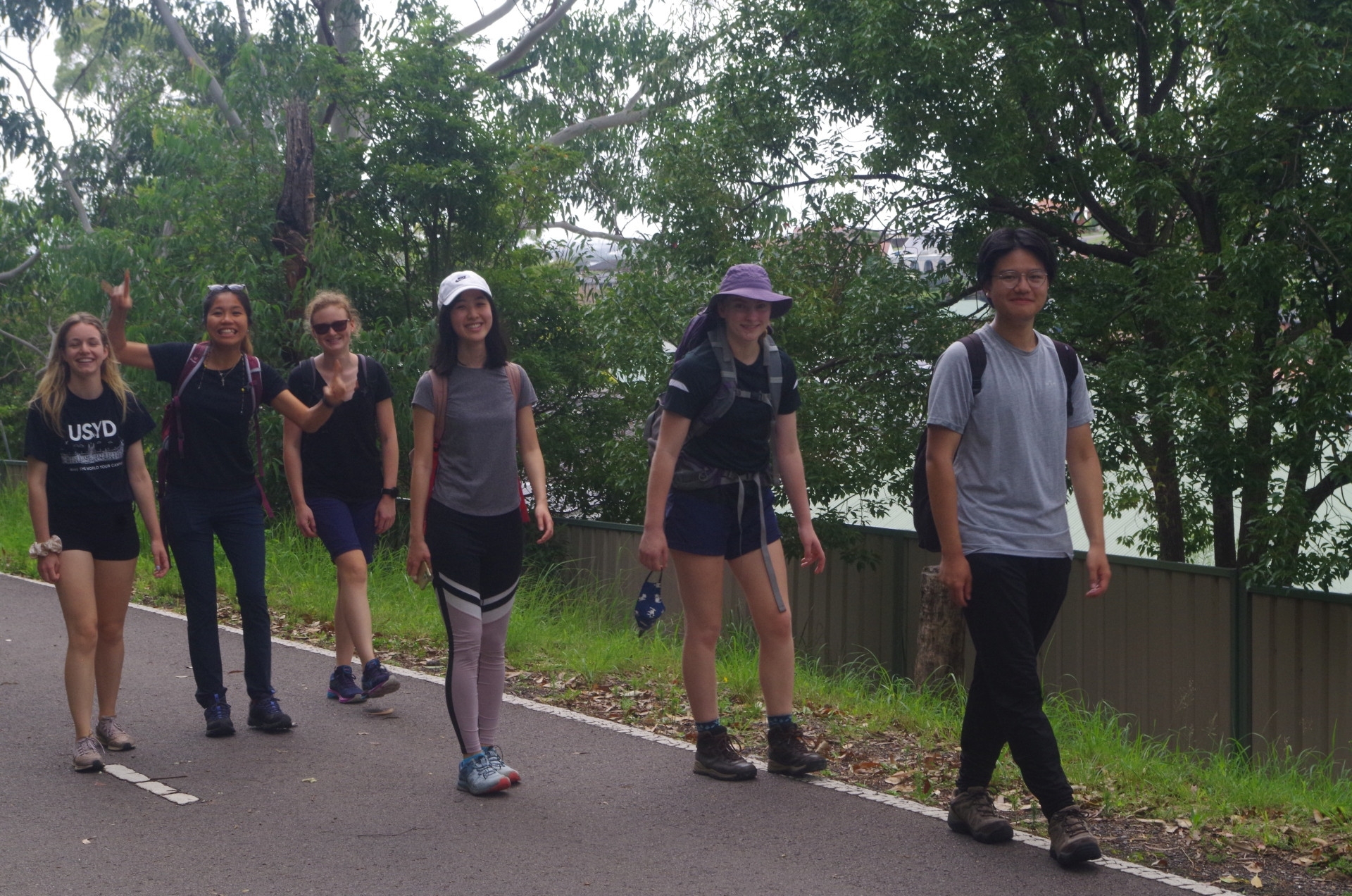
Party: Amy, Doris, Elodie, Guillaume, Riley, Robin, Sean, Taiga, Yu Ching, Zhaoyi.
Newcastle – Fernleigh Track and Glenrock Conservation Area.
This walk was always going to be touch and go because of the constantly changing weather situation. Thankfully the forecast a few days beforehand stated that the Saturday of the walk will be clear in the Newcastle area, with only a possiblity of showers late afternoon. As it turned out, there was no rain in that area for two days running, so we were lucky.The improving outlook prompted two people to sign up at 11pm the previous night, just scraping in!
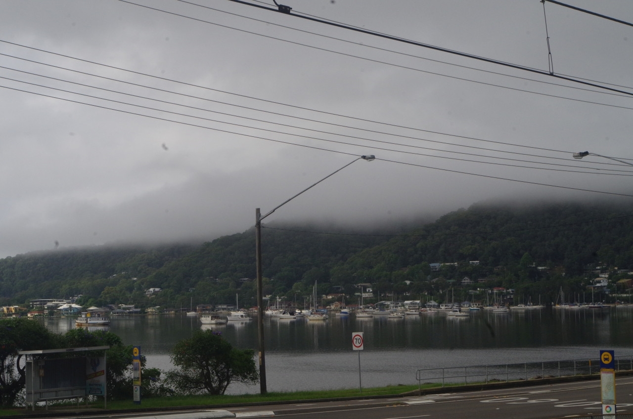
As I waited at my local station for the train, fog was sitting on the hilltops around Brisbane Water (first photo), which usually indicates a nice day ahead. And that’s how it turned out. I checked the train to make sure no one was in the wrong cars (as Adamstown, the destination, has a short platform), and all settled in for the fairly long trip (which was 150km north of Sydney). The train was 12 minutes late at Gosford but made up time, but then stopped just short of Adamstown Station for 10 minutes for an unknown reason (and it would also have been very annoying for traffic on Adamstown Road as the level crossing gates at the station also remained down for 10 minutes).
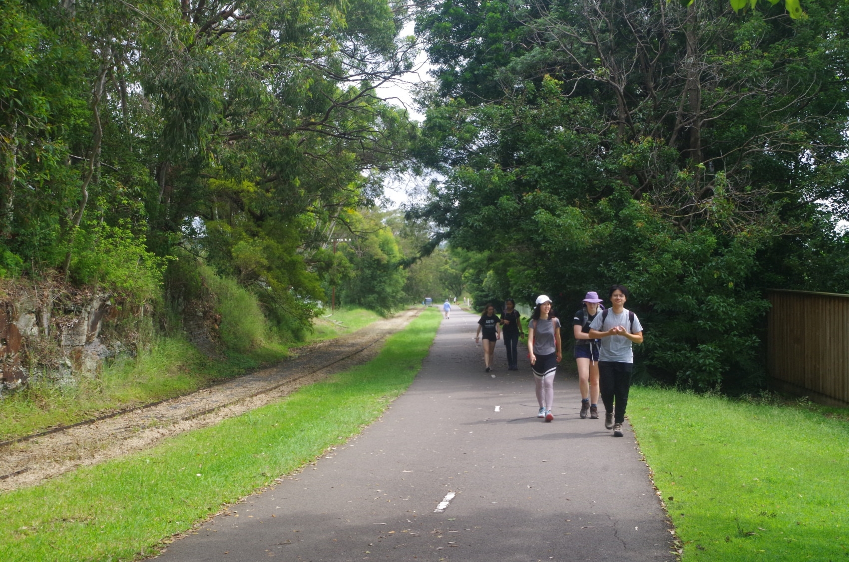
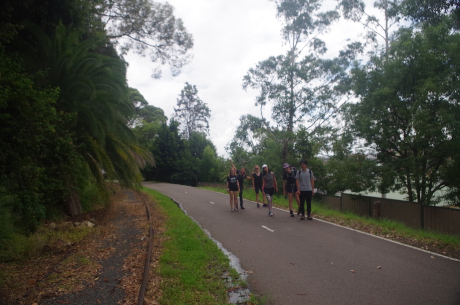
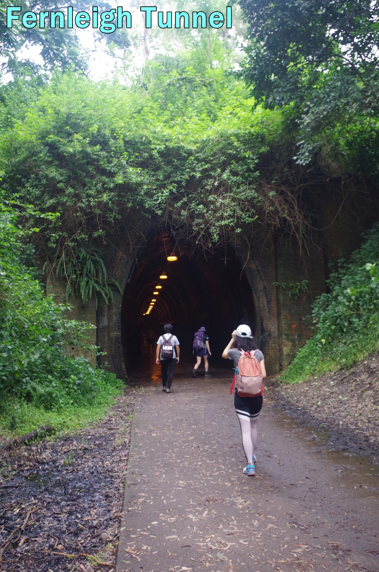
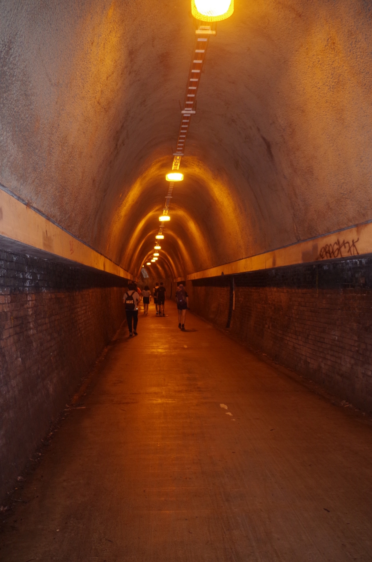
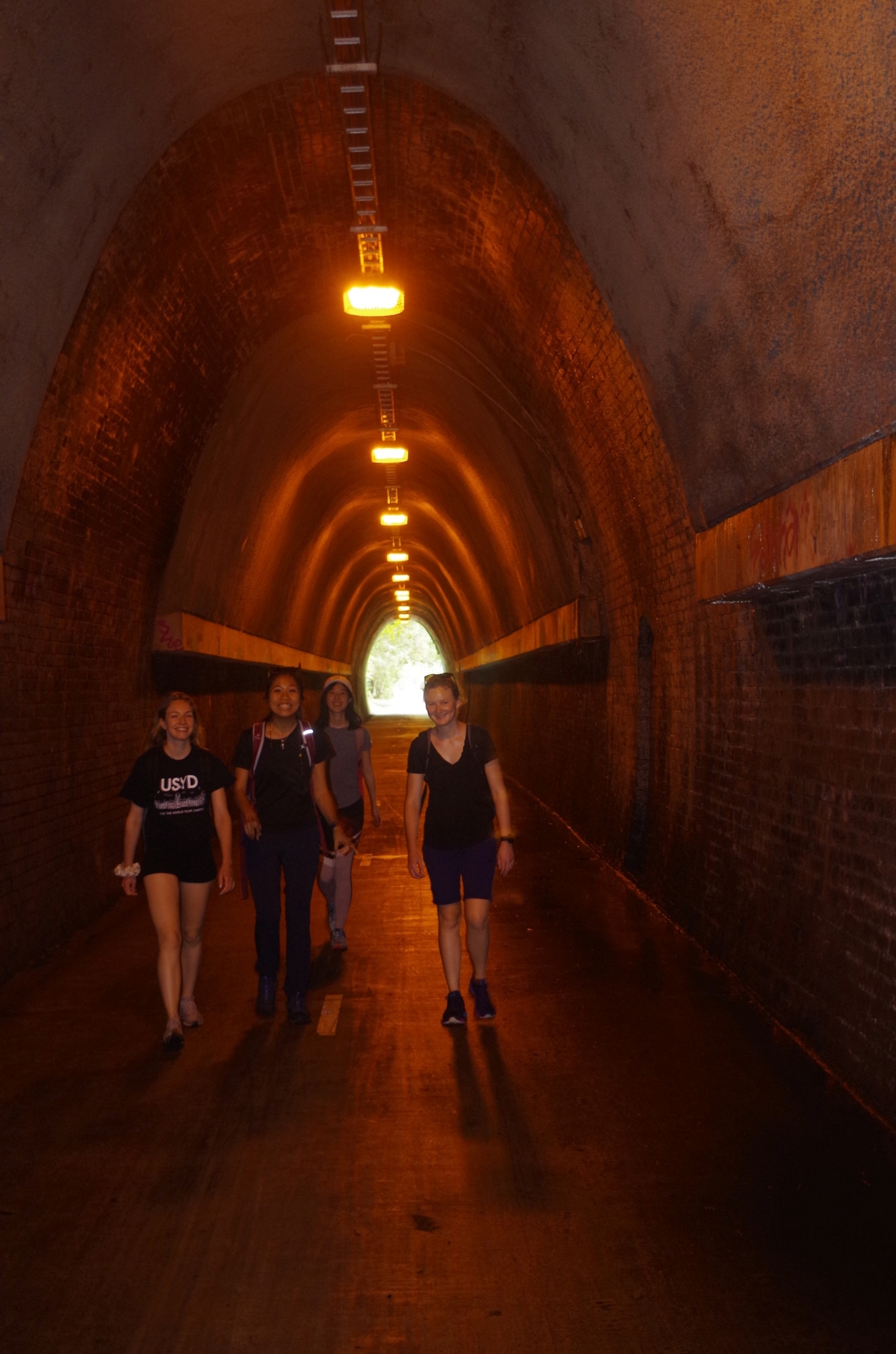
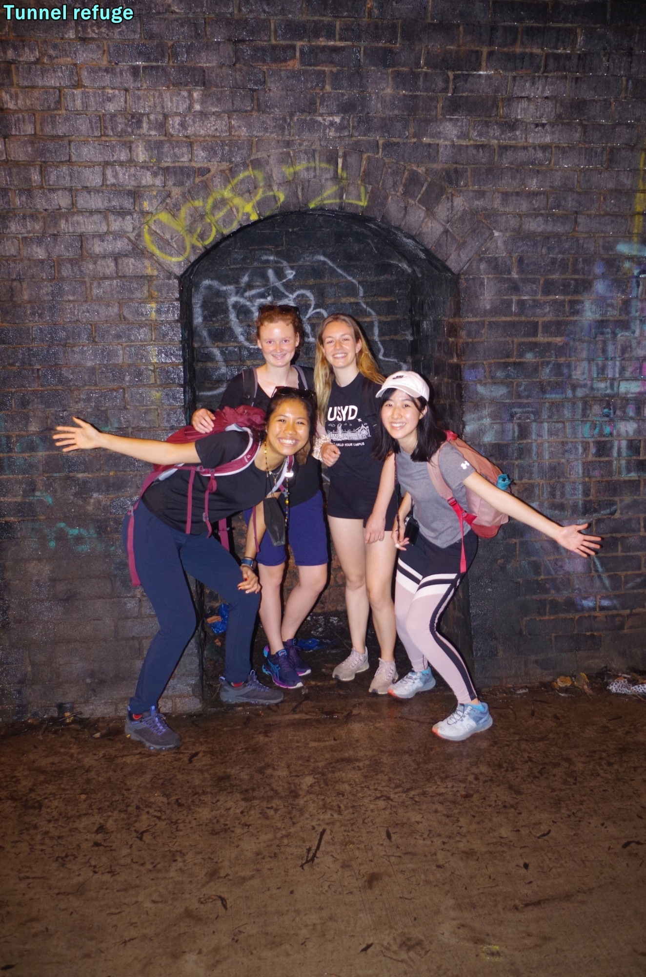
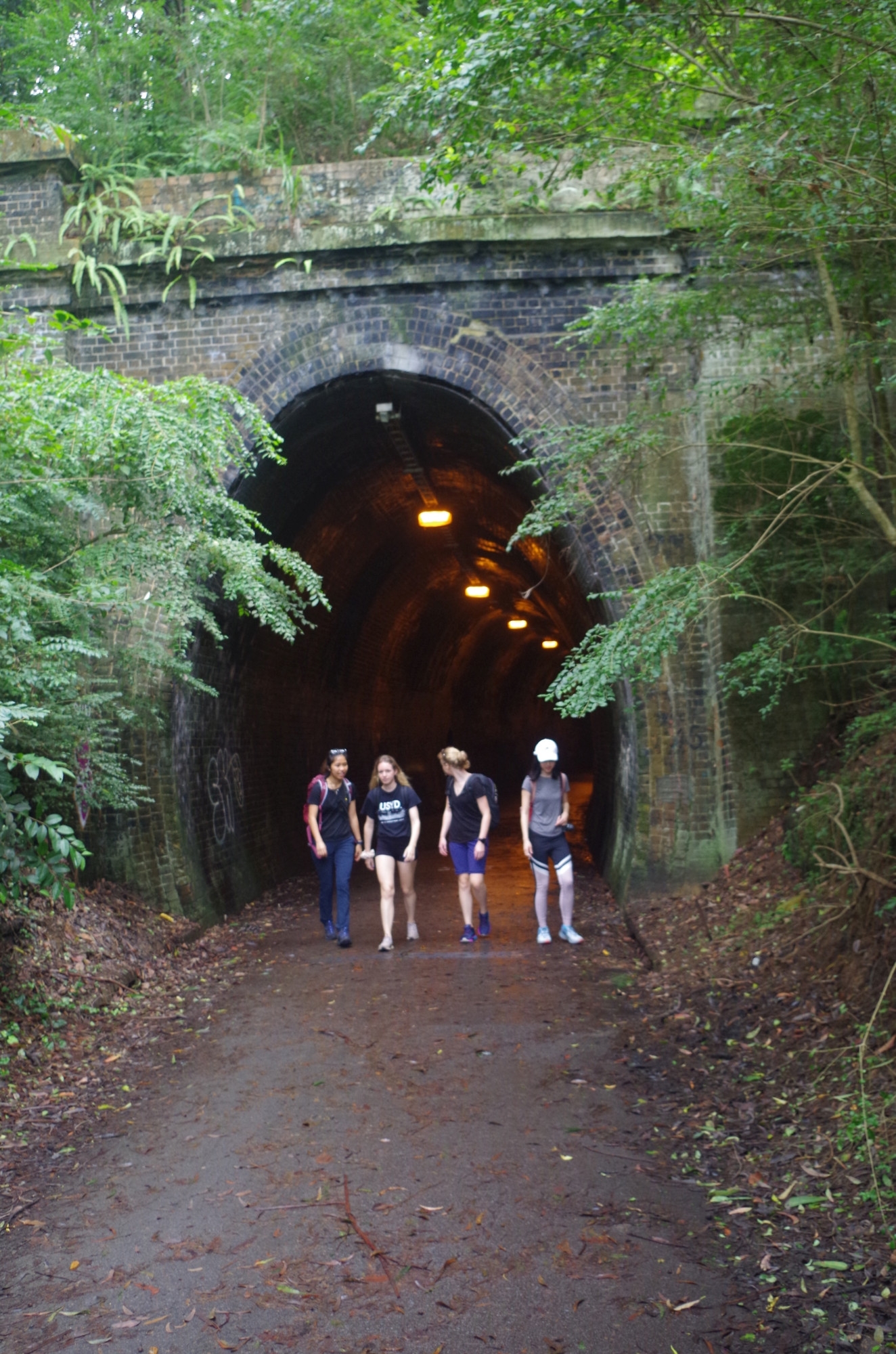
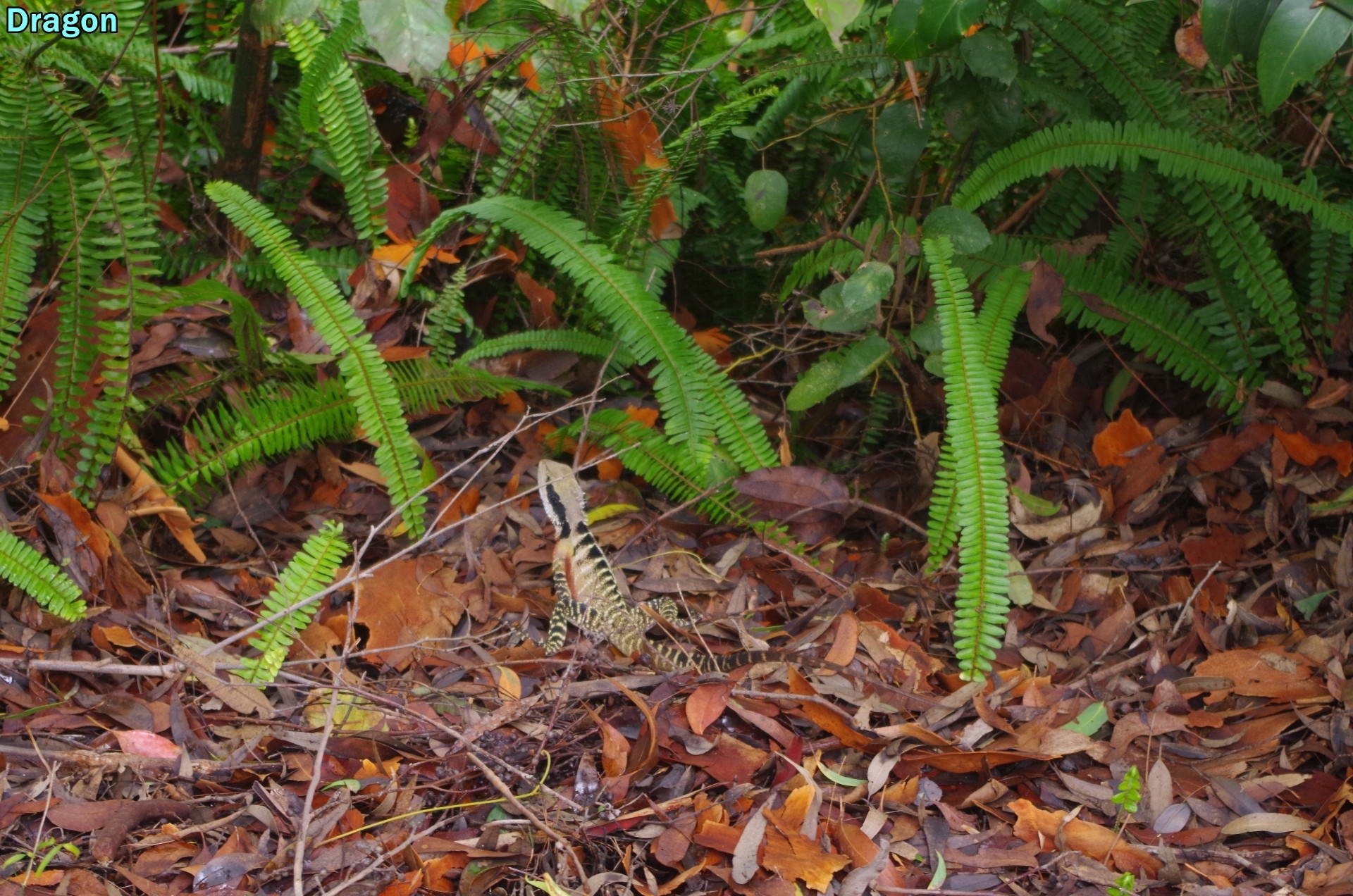
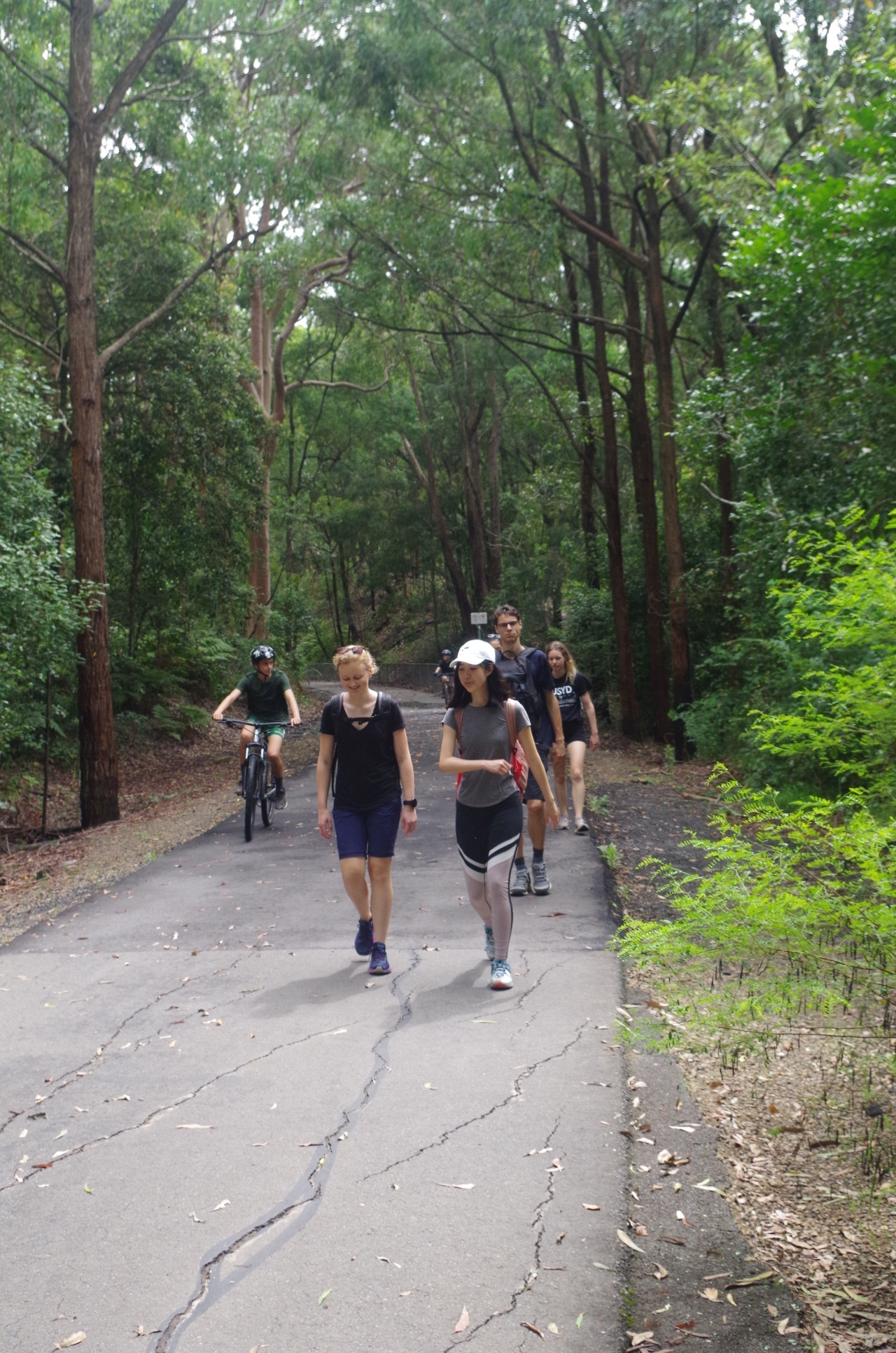
With about 20 minutes lost due to train delays, we wasted no time in setting off for the start of the Fernleigh Track. This is a shared paved walking and bicycle track going all the way to Belmont 13km away, but we were only doing the 3.5km as far as Burwood Road, were we would turn off to get to the start of the Yuelarbah walking track through Glenrock State Conservation Area. It is on a former track of the Redhead Colliery Railway, with some track still remaining in place. It is on a continual 1 in 40 gradient which is just noticeable when walking it. About 2.5km along it passes through the 181 metre long Fernleigh Tunnel. Along the way we saw the only animal sighted on this walk, an eastern dragon (see photo).
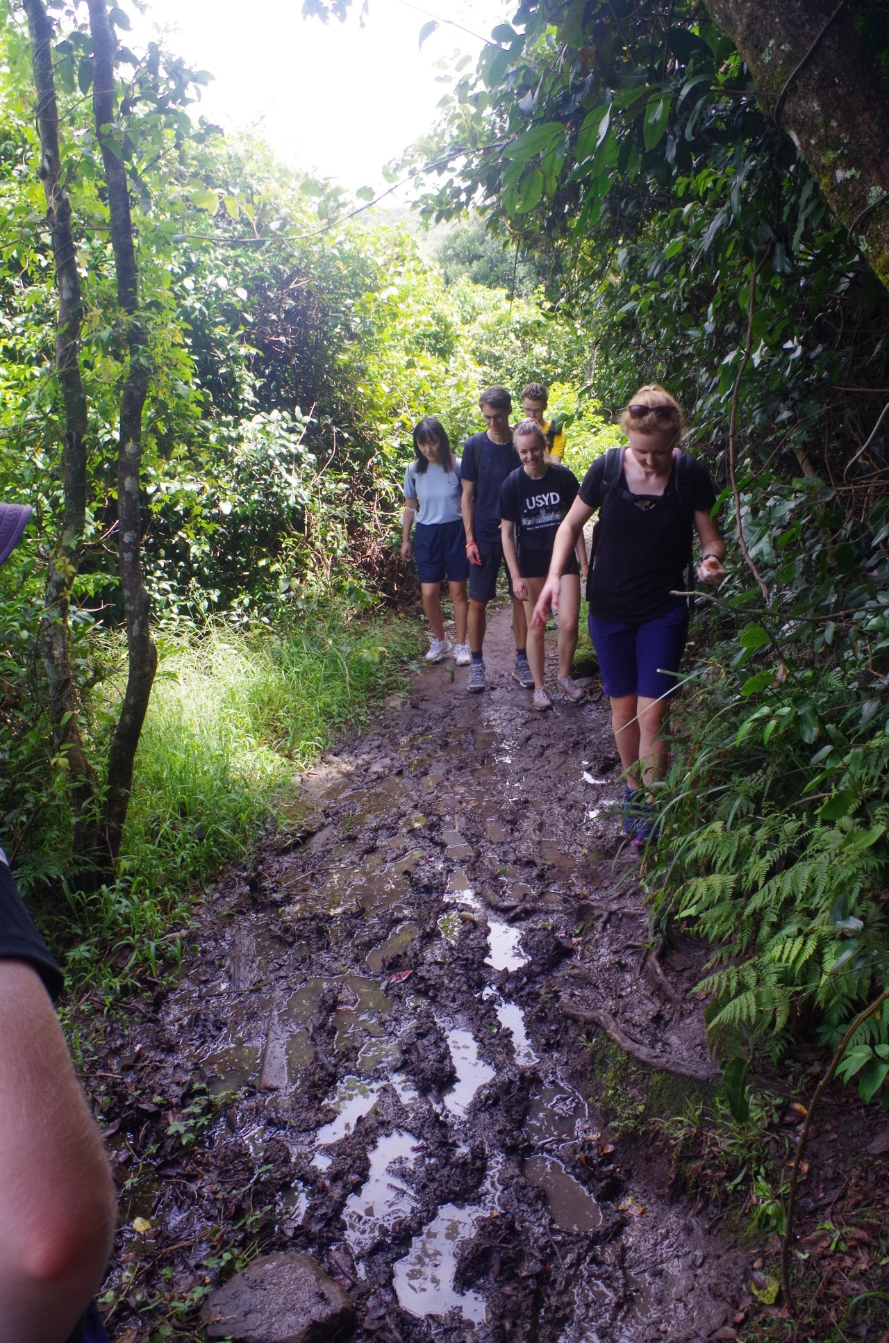
On reaching Burwood Road we turned left for 100 metres and then entered the Glenrock Conservation Area. From here a wheelchair accessible track goes for about 1km and crosses Flaggy Creek on a high bridge (avoiding the creek crossing done on last year’s walk here). The Wheelchaor section abruptly stops just after that, and the rough track starts. It leads to Leichhardt’s Lookout, but we stopped only briefly and then moved on to the track to the beach and the entrance to Glenrock Lagoon. After all the rain of the past weeks this section had some quite muddy sections and passed through a sub-tropical like woodland and thick coastal undergrowth.
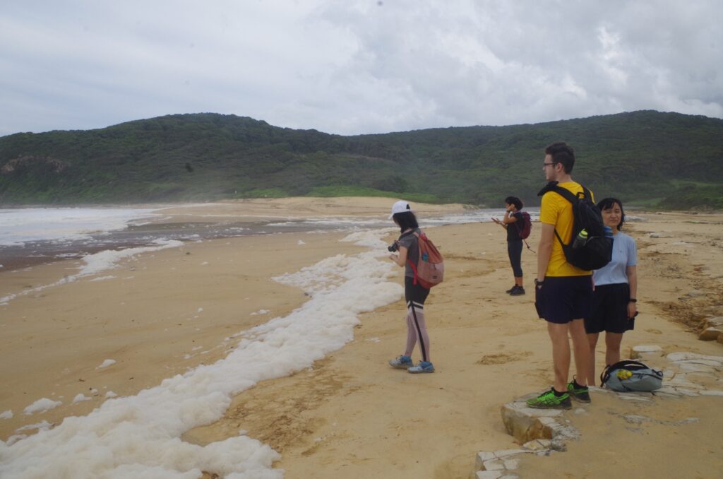
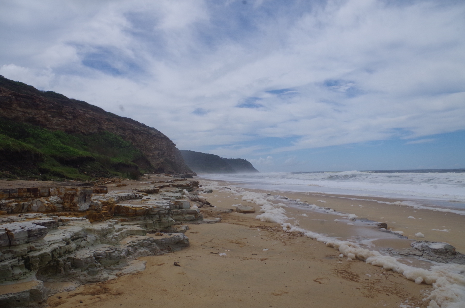
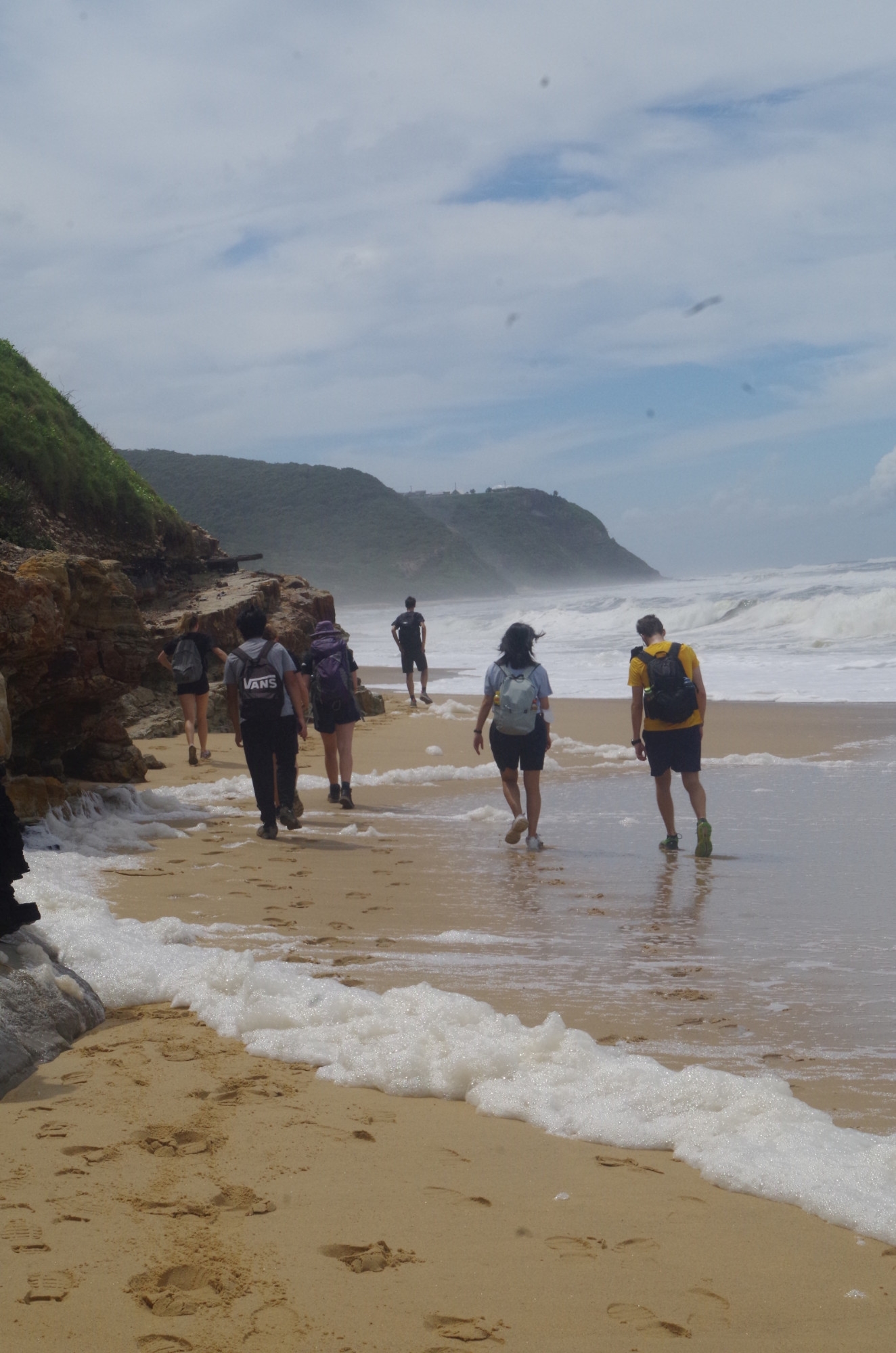
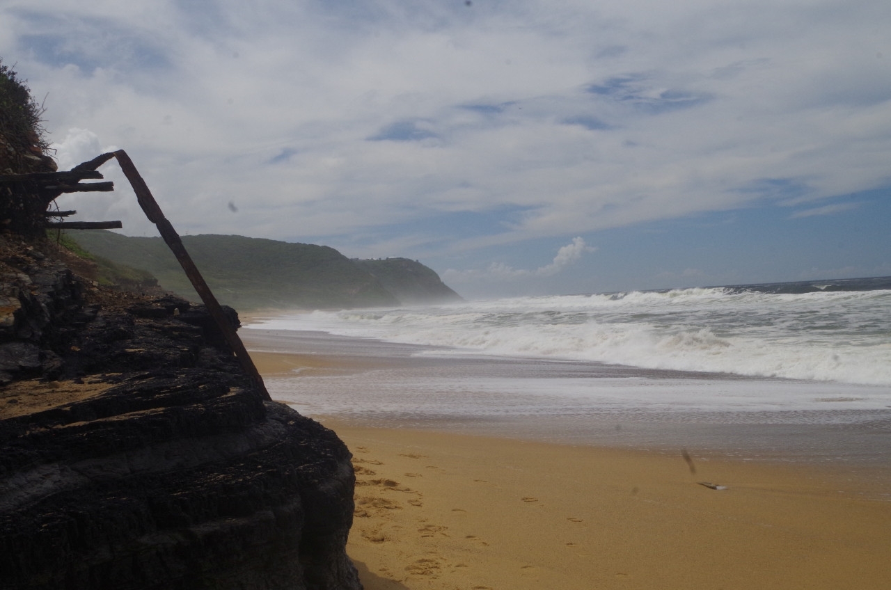
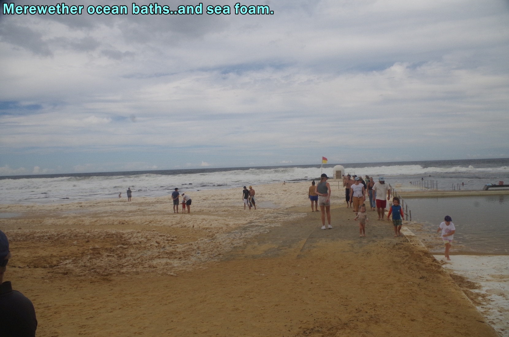
On reaching the beach (actually the south end of Burwood Beach) we saw how rough the sea still was, and why most beaches would be closed to swimming. There was also a lot of sea foam along the sea shore which fascinated a couple of our members. Sea foam is a natural phenomenon despite looking like washing-up suds. It is especially prone to occur in periods of rough seas such as we are having now (sea swell has been as high as 5 metres lately), and is derived from organic matter such as plankton and macroscopic algae. Wiki gives a good description: https://en.wikipedia.org/wiki/Sea_foam
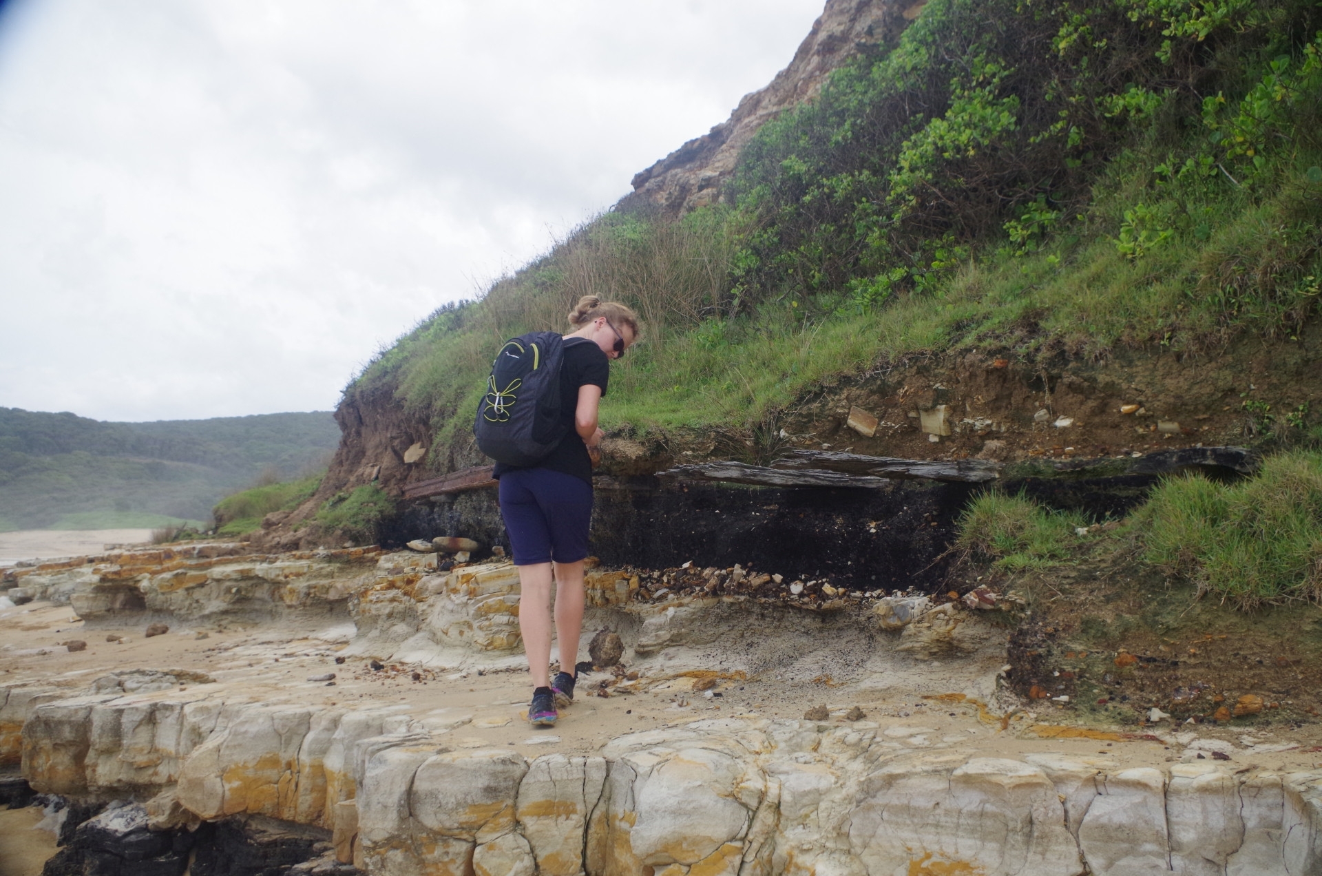
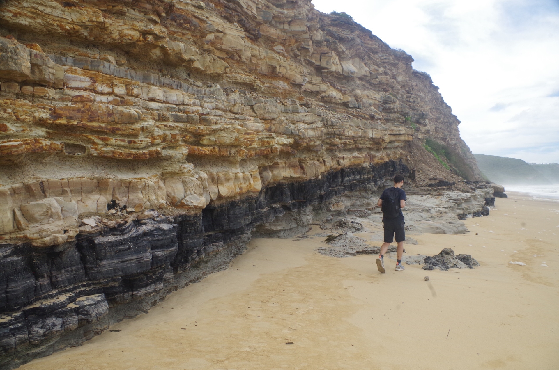
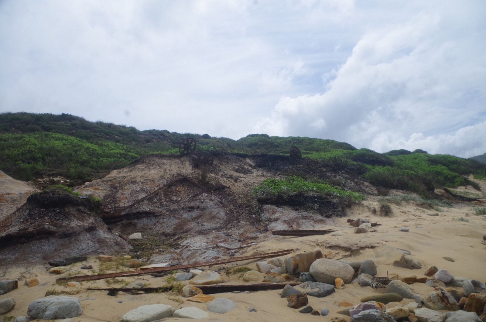
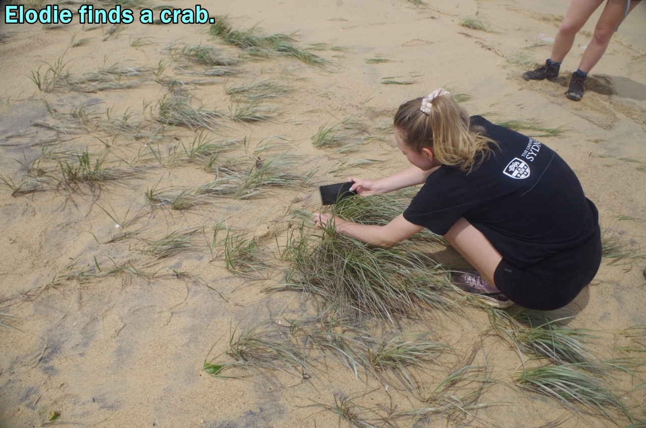
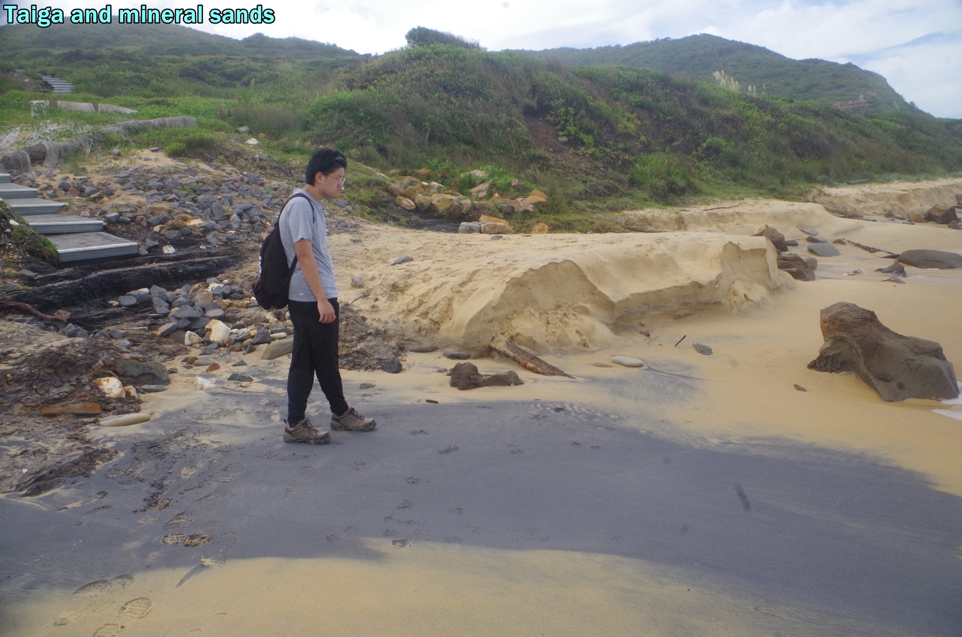
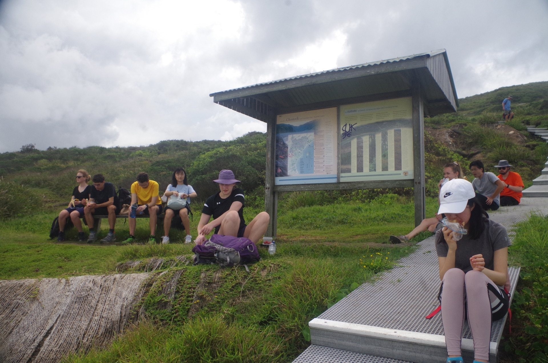
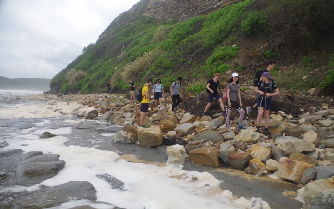
Also, when we got there it was right at high tide, and a quite high high tide too. Combined with beach erosion from recent storms, it meant that some paddling in the water was unavoidable in some places. At one point a larger wave came and soaked my shorts including the pocket in which I had my mobile phone. I quickly pulled it out but it was safe and not affected. Along the way we noted coal seams and the remains of the old colliery railway which once ran along just above the beach. Elodie found a small crab and took photos, and evidence of other crabs was seen as holes in the sand. We also saw deposits of mineral sands on the beach (see photo). Eventually we arrived at the noticeboard at Burwood Beach, and had a discussion about whether to continue along the beach and see if the rock ledges were passable further along, (as the rock platform was under half a metre of water due to the high tide) or whether we would need to go up a steep track to Merewether Heights and down again via streets to Merewether Beach. Also, given that it was almost 2pm, I decided that this was the best lunch spot as there was a seat here and also the plastic pathway was also dry enough to sit on (being the only dry things around). Also, it would buy some time for the tide to go out a bit and make traversing the rock ledges safer and easier.
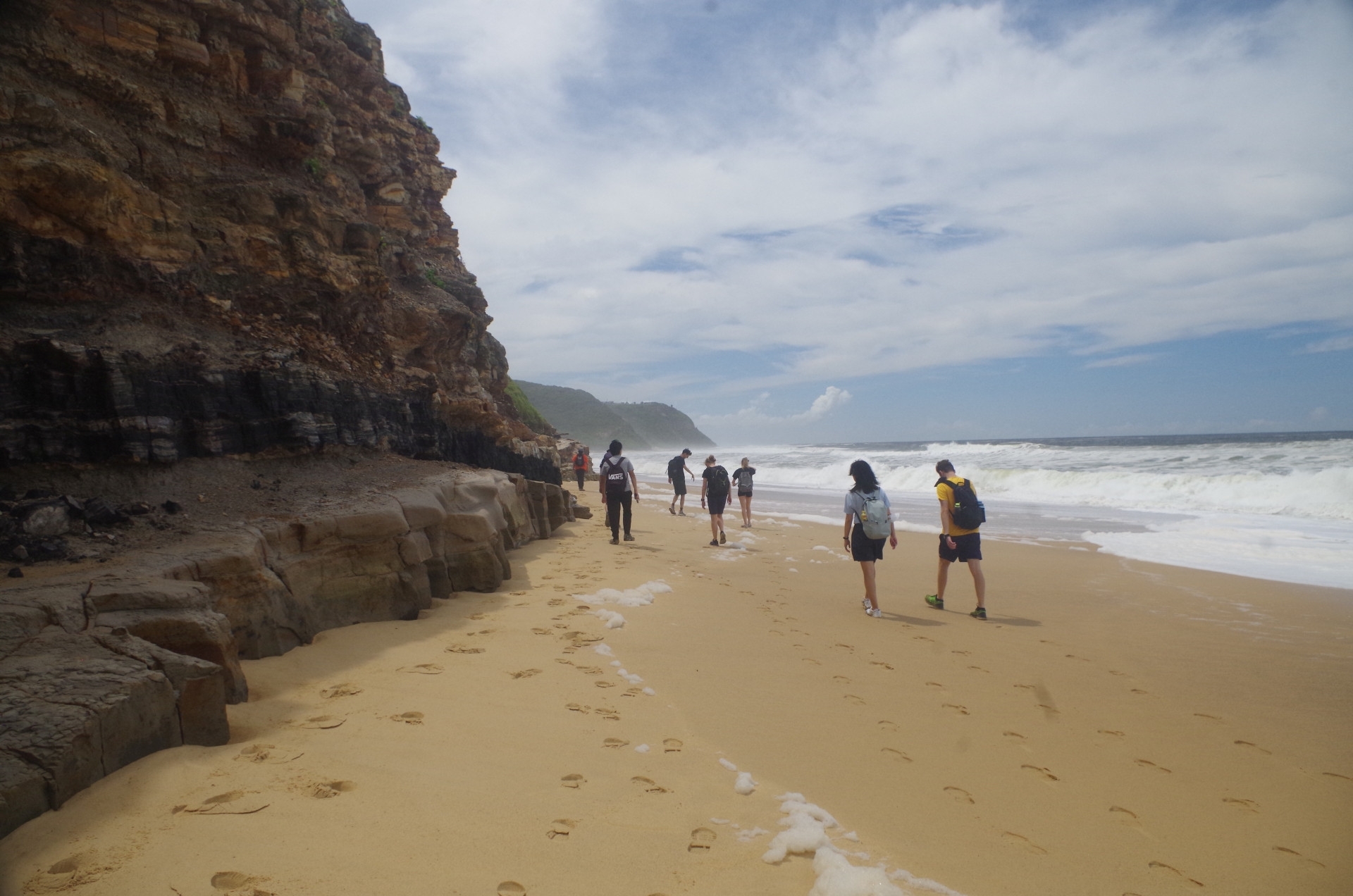
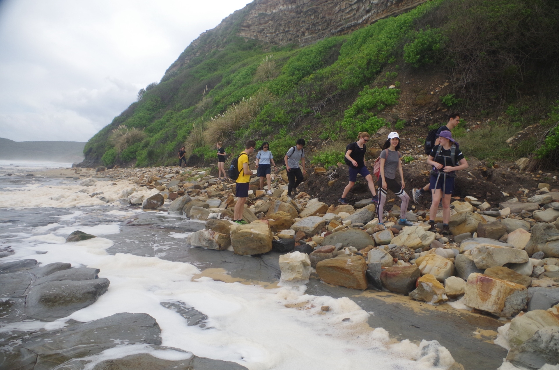
At lunch I passed around the home-grown bananas from my backyard and everyone declared them to be sweeter than shop bananas. A local couple had meanwhile arrived and we discussed if it were possible to get around to Merewether Beach via the rock ledges. The lady thought it was possible although it might mean wading in water some of the way. I had been along this section before but at low tide and with a moderate swell. The swell this time was also moderate but it was still coming off high tide; that made the difference; the wide rock platform was awash with sea waves pushing water over it. During the break I took a walk north along the beach to see for myself if it was passable. It was definitely OK for most of the way with what looked to be a tricky bit at the end, but still well above the water. If we found it too hard to proceed, we could always turn back to climb the steep track.
So off we went towards Merewether Beach and after about 5 minutes the sand ended and the rocky section started, not unlike the rocky section to be found along the walk to Figure 8 Pool in Royal National Park. It appeared to be a new experience for a couple of the group who found it a bit slow-going. Sean was in front scouting the way ahead and at almost the last section found that there was a larger rock to negotiate which was a bit tricky but safely doable. Meanwhile I was also exploring lower down along the submerged rock platform, figuring that my shorts could not get any more wet than what they already were. There was sea foam here which hid a hole which I stepped into! The rock platform here is between 70-100 metres wide which dissipates the waves in all but quite rough seas, but still leaves the rock platform under water with small waves washing over it.
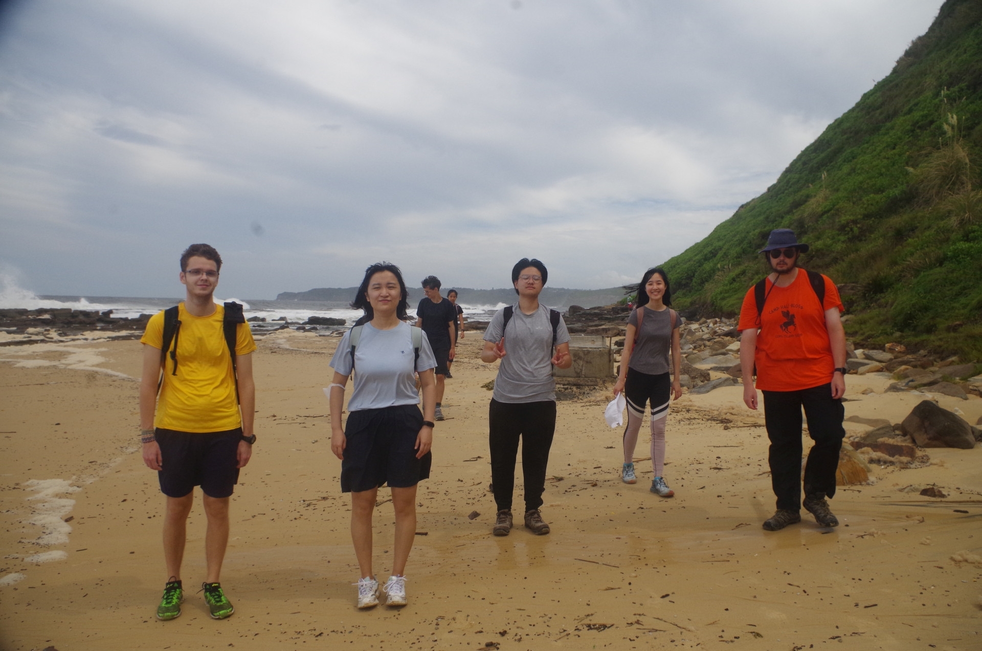
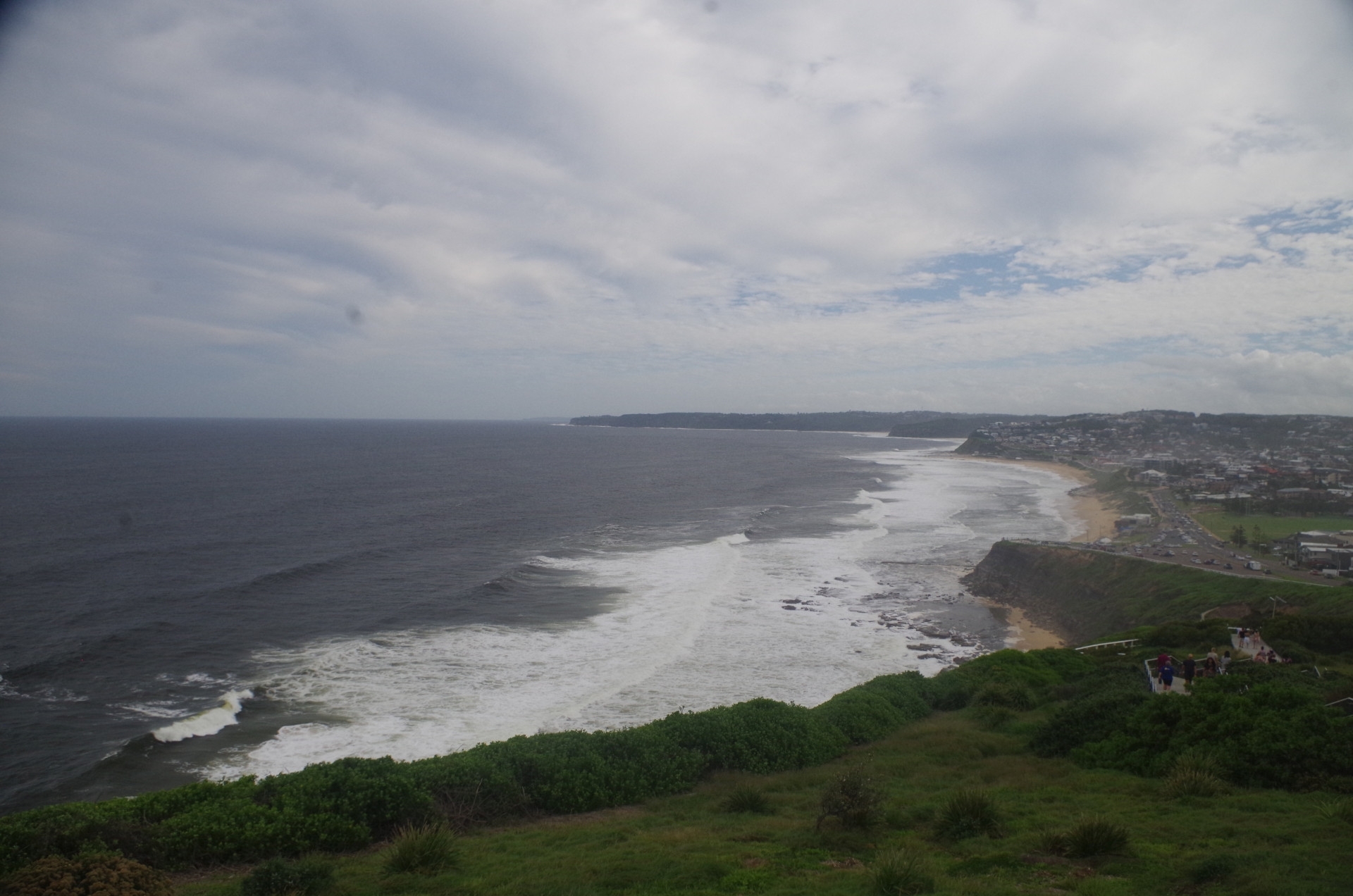
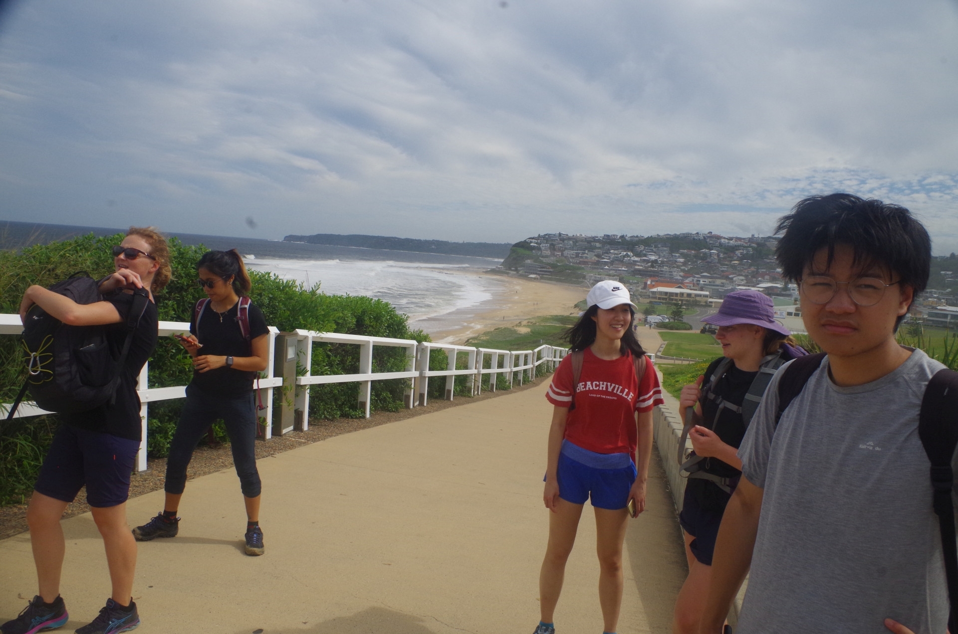
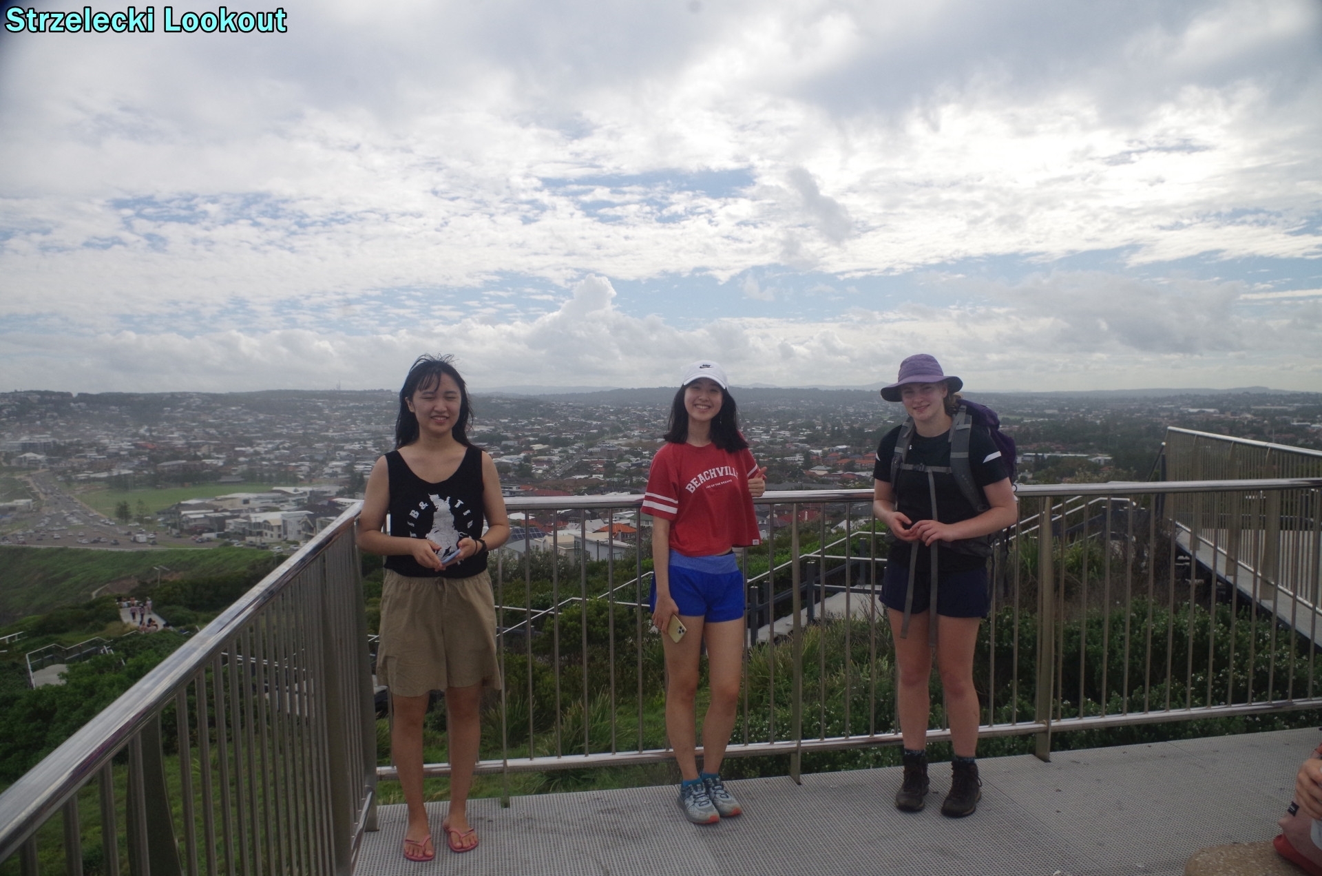
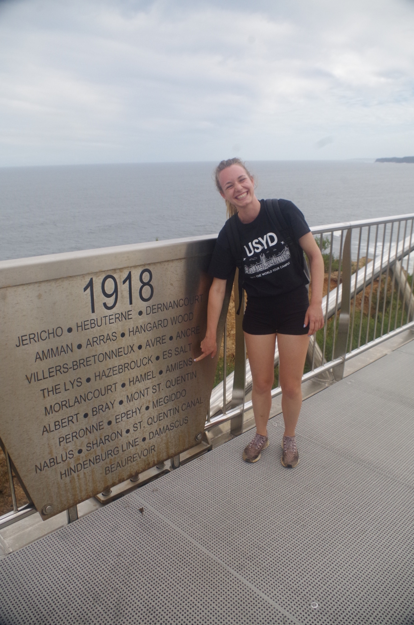
Still, we all got through, with no one getting wet except me. Then on to Merewether Beach Ocean Baths for a swim. There was a lot of sea foam here too, but the water was also rather warm and pleasant. The main beach here and at Bar Beach and Merewether were still closed to swimming.. After a swim we set off along the beachfront of Merewether and Bar Beaches which is a very easy footpath. Past Bar Beach the path starts to limb and then a side path climbs up via steps to Strzelecki Lookout, where fine views can be seen of the beaches far to the south, and west over Newcastle itself. A bit further along is the ANZAC Memorial Walkway, and Elodie pointed out the name of one French town she recognised (Amiens).

Given that Newcastle Beach was closed, as was the beachfront Shortland Esplanade walk, I decided that we may as well bypass both and go straight down the hill to the tram terminus at the beach. The bonus was that we could get an earlier train than I had originally planned. This walk took us through King Edward Park with its stands of tall Norfolk Island Pines, and also past the remains of the WW2 fort of Shepherd’s Hill, whose claim to fame was firing at a Japanese submarne in June 1942 which had fired on Newcastle Port, and then the submarine turned round and fired on a Russian freighter coming into Newcastle; that could have caused a major incident.
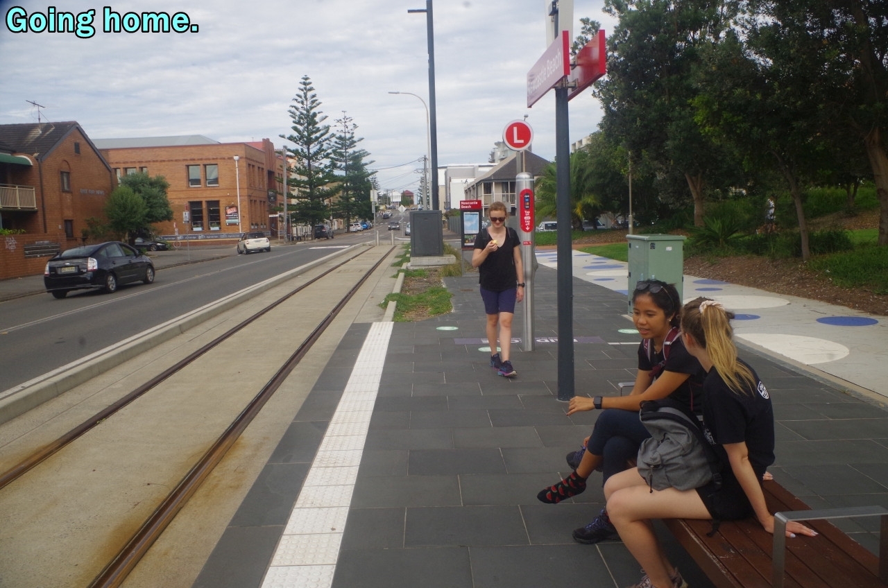
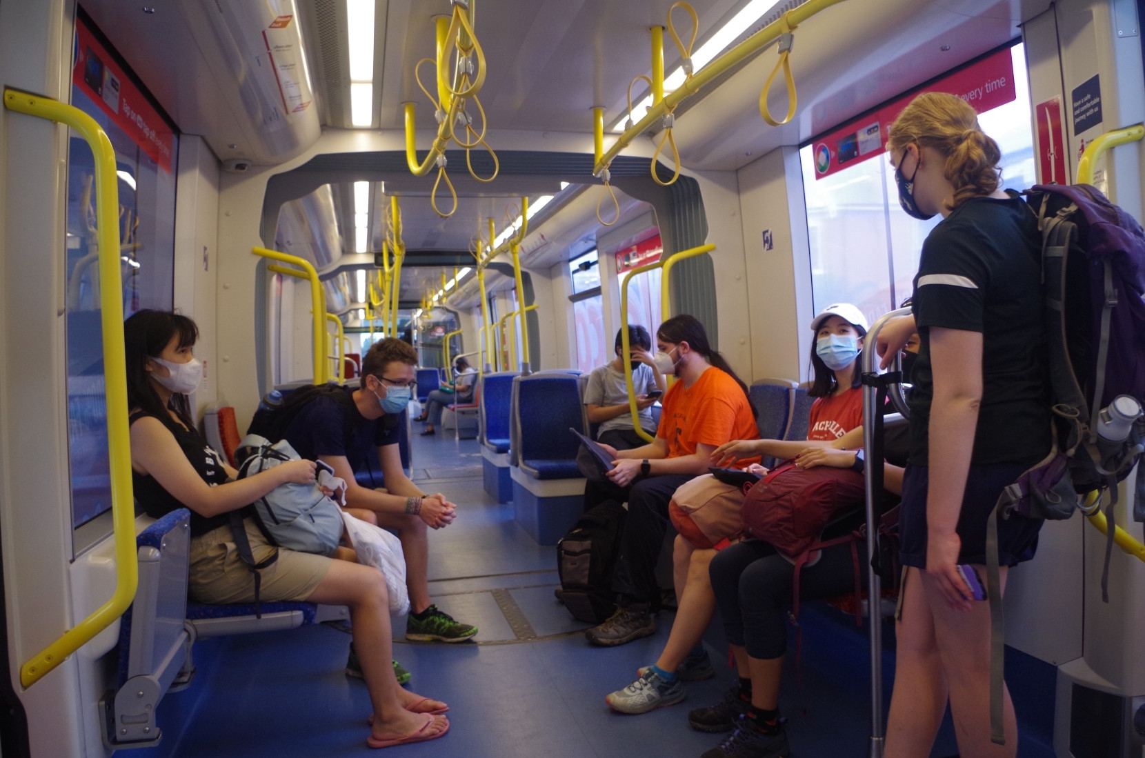
Then it was just a matter of waiting for a tram to Newcastle Interchange Station, and then the train home. Everyone seemed to be happy with the experience. We did have quite good luck with the weather with no rain, although it was very humid. Lucky also that there was a brief lull in the rough seas; any rougher than it was and the walk around the rock section at the north end of Burwood Beach would not have been possible. Even so, the same seas we experienced here would make a walk to Figure 8 Beach very risky, as at the First Point there, there is no protection at all from a wide rock platform.
Thanks to those who advised me in advance that they were not coming. Unfortunately there was one person who was a complete no show and he has still not contacted me at all, not even to answer a text I sent him asking if he was on the train.
Bruce Stafford.