Date: 8/5/2021
Trip leader: Bruce Stafford
Party: David, Laura Ivonne, Shandi, Bruce
Photos: by Bruce, by Shandi
Newcastle – Fernleigh Track and Glenrock Conservation Area. 8th May 2021.
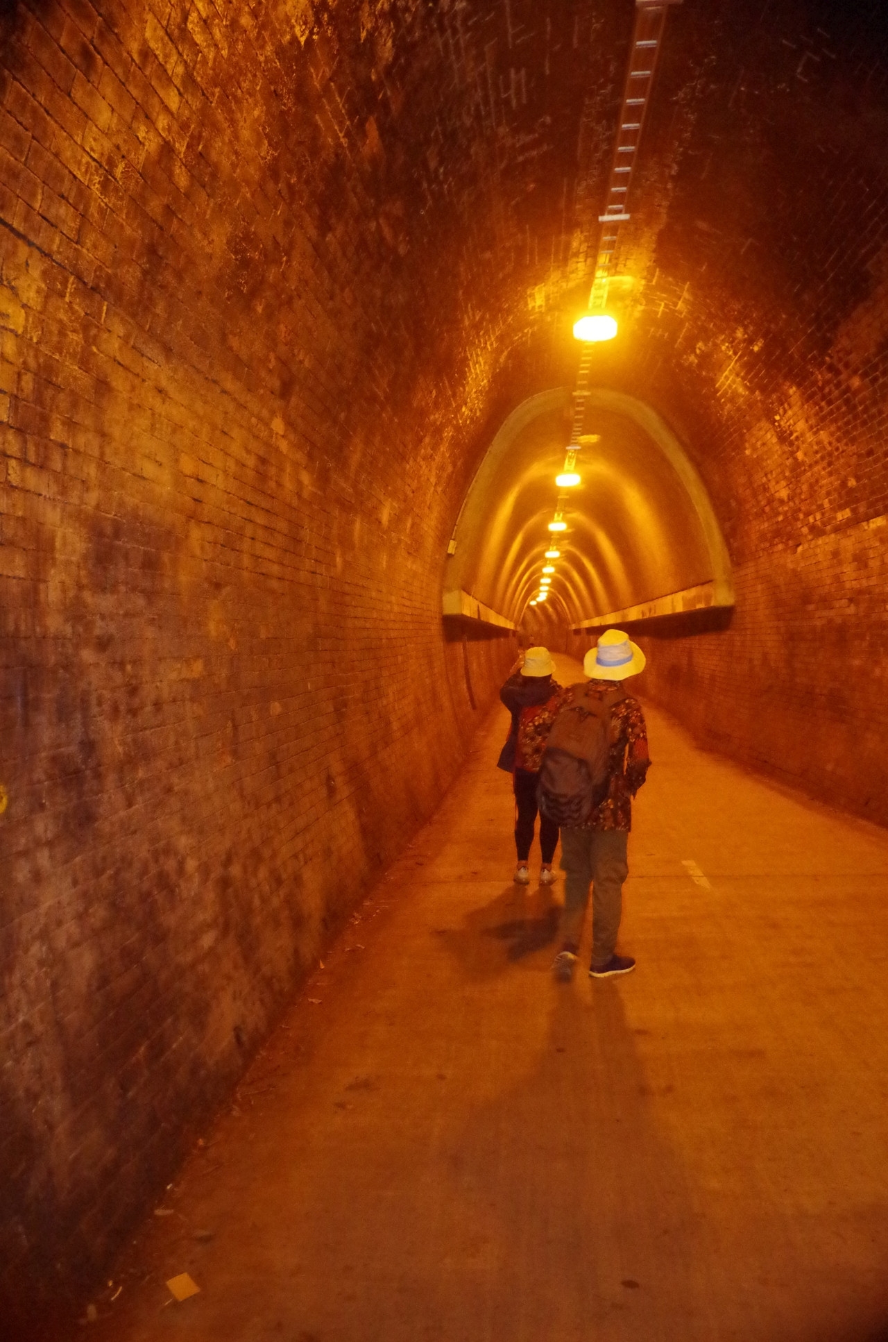
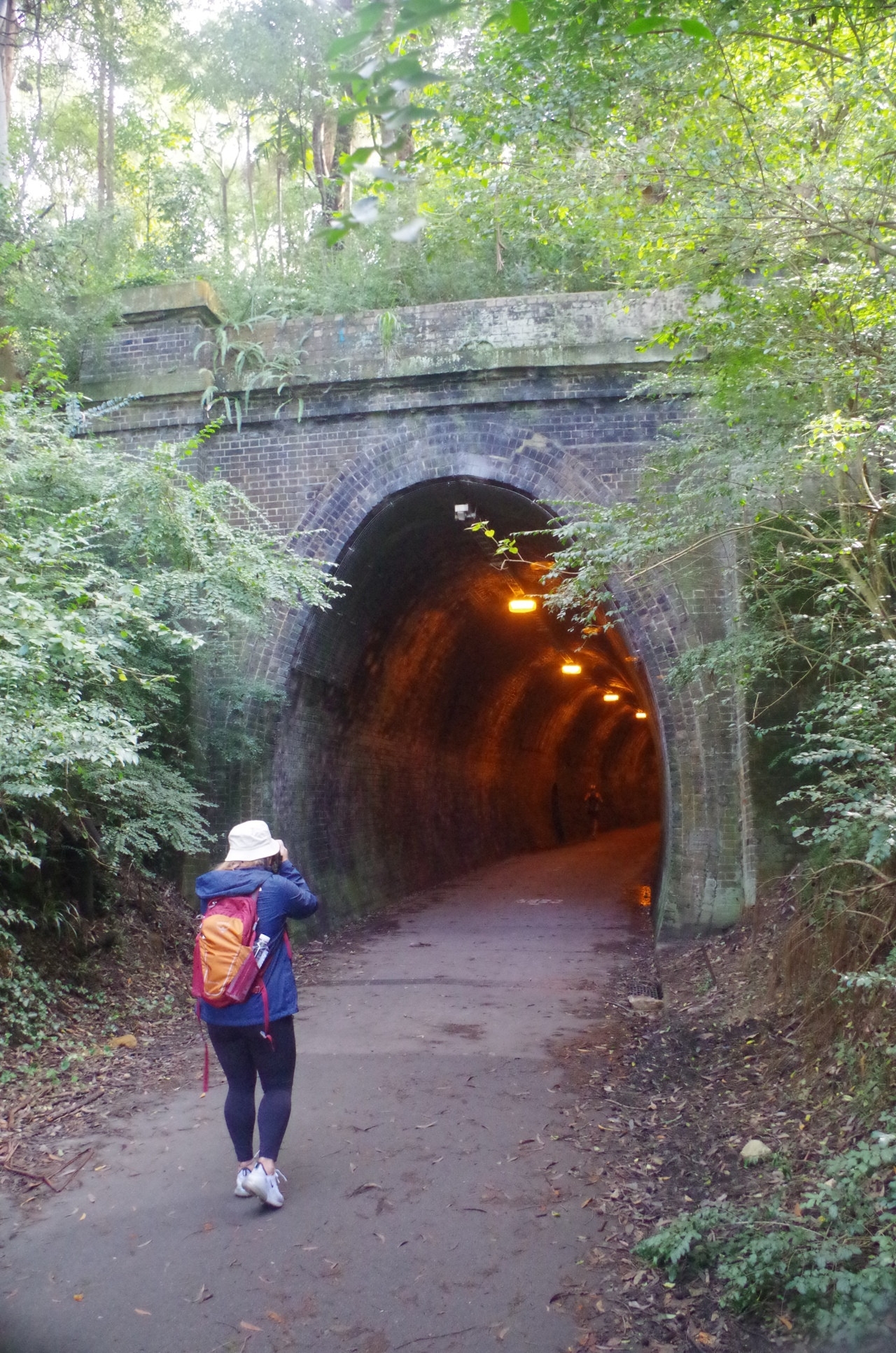
This is about the limit of where you can go for a day walk from Sydney before it has to be an overnight walk. The aim was to do the final leg of the Great North Walk (GNW), but starting from Adamstown and not Charlestown. Two reasons for that: The Charlestown start point takes too long to access by public transport, and Adamstown provides a starting point for the Fernleigh Track whioh joins the GNW at Kahibah. The Fernleigh Track has its own attraction in the form of the 181 metre long Fernleigh Tunnel. I had been interested in doing these for some time and this weekend provided a chance to do it before winter sets in.
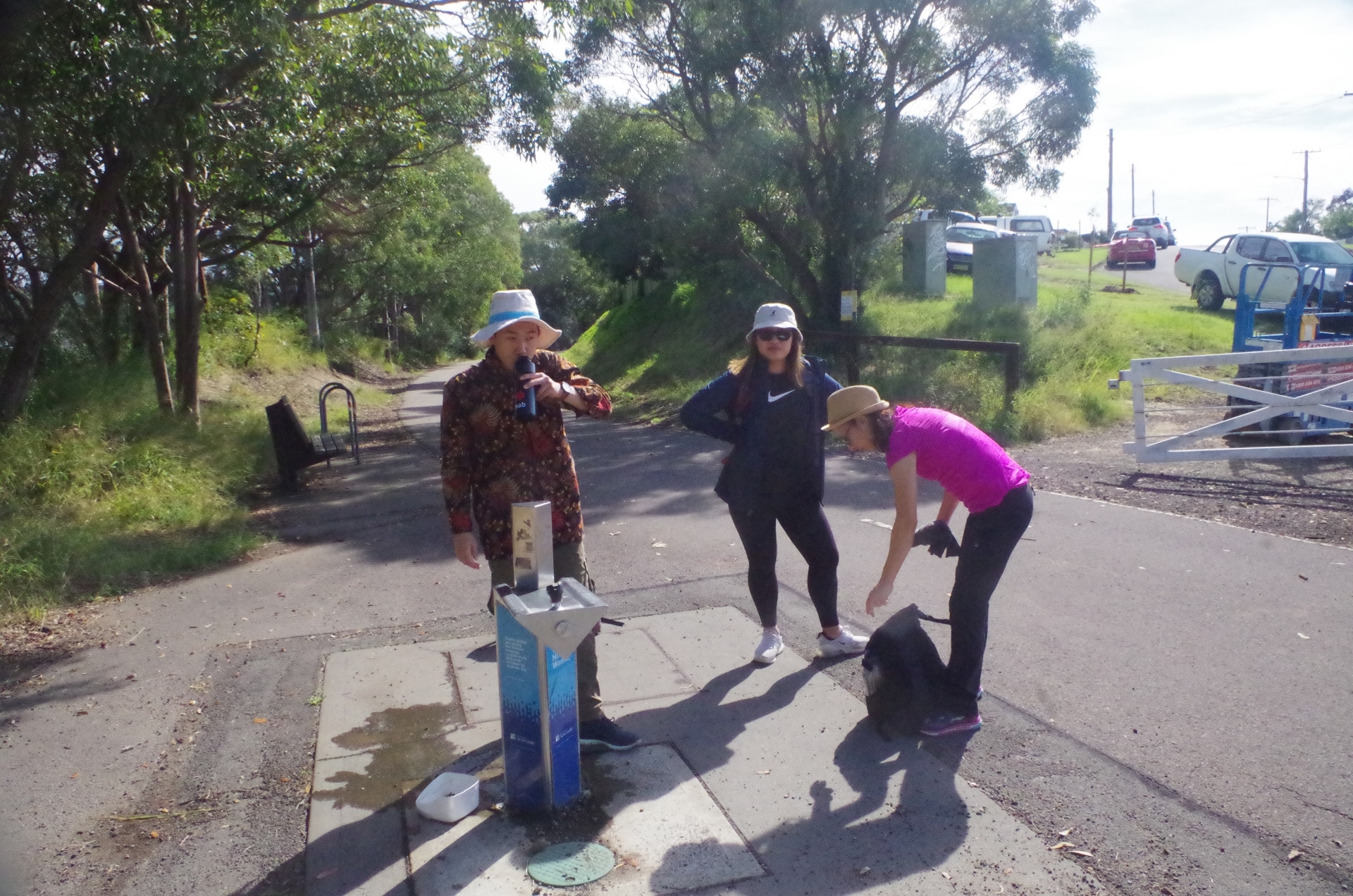
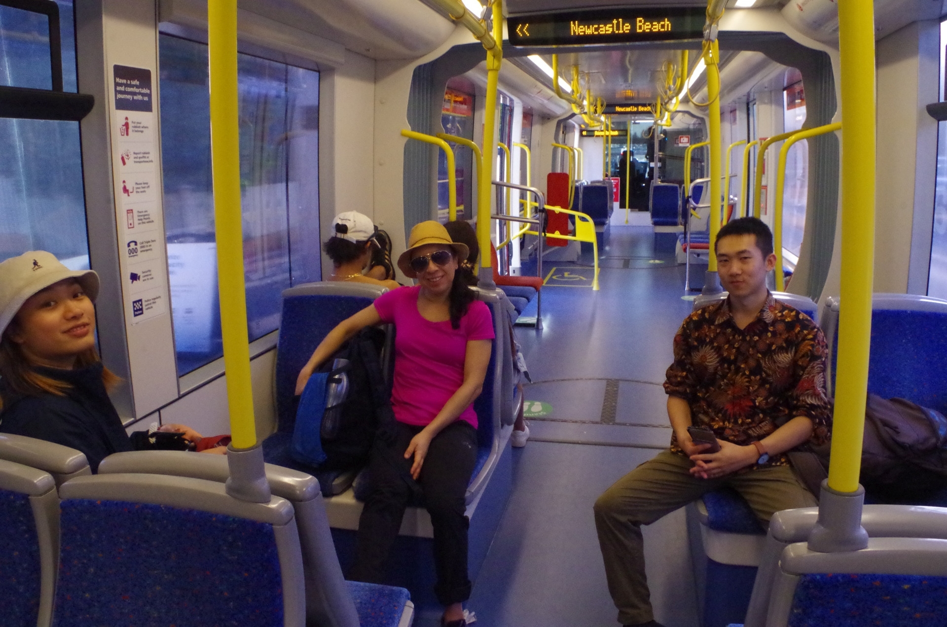
Fortunately we were lucky (yet again!) with a day of good sunny weather bracketed by two rainy days. Of the original 5 who signed up, one missed the train at Central by a minute and missed out, and I met up with the other three when I got on the Newcastle train at Gosford. The train trip from Sydney to Adamstown takes 2 hours 33 minutes (more about that later on) so plenty of time to relax and have a sleep.
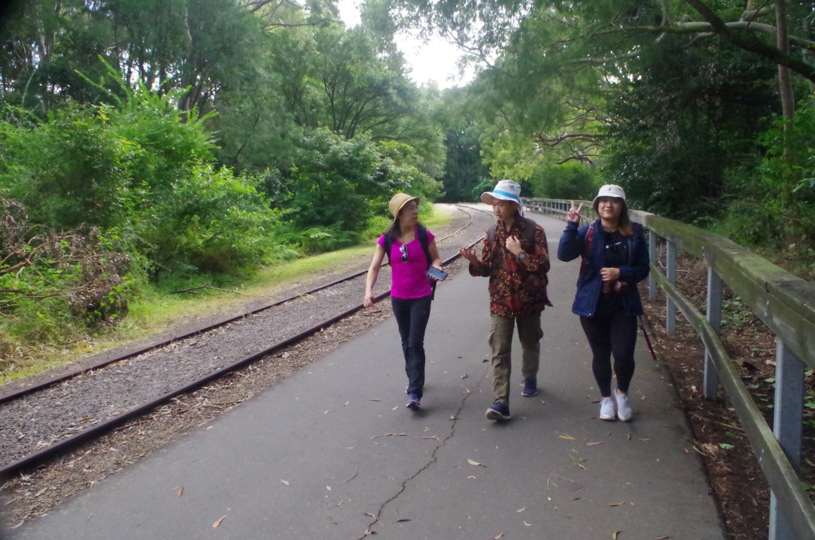
On arrival at Adamstown we walked just 300 metres to the start of the Fernleigh Track which is on the former colliery rail line to Belmont (a “rail trail” now). It rises on a continual gradient (1 in 40) as far as Kahibah and it is quite noticeable and would have been quite a job for a steam train. It is however paved all the way to Belmont 13km away as it is also a shared bicycle track. The walk was straightforward apart from a stop at a cafe along the way for a toilet break. We passed numerous people out on bikes on this sunny saturday morning too, and dog walkers. Most simply went around us if heading in the same direction although one odd person wanted us to move further to our left so that he didn’t have to overtake in the opposing lane (although there was no one coming towards us there). He looked rather similar to the rude bike rider on a walk we did from Audley in the Royal National Park back in August 2018 who came barrelling past yelling at people to get out of the way – and with the same somewhat overweight body habitus (think of Donald Trump on a bike) – and made me wonder if it was the same guy. It would have to have been a remarkable coincidence to have been the same guy in places almost 200km apart, but you never know. Just shows you really have to watch out for some thoughtless people when on these tracks.

We eventually came to Fernleigh Tunnel and Laura posed in one of the refuges (the refuges were shelters for track workers in case a train was in the tunnel when they were there). Not long after that we came to Burwood Road where the old rail line crossed it, and we had to go left there to access the Great North Walk. Just before the level crossing there is a descriptive board telling the history of that locality and how there were numerous level crossing incidents involving near misses and collisions with trains. That probably said more about Newcastle driving habits of the time than about the trains. One of my photos tells the story.
A walk of about 100 metres brought us to the Great North Walk Yuelarbah track there, and from there on there was some confusion about which track to take due to some confusing signs along the way. I had already known that the Yuelarbah Track was closed beyond Leichhardt’s Lookout and a deviation there was in place. The signs and detour signs seemed though to suggest it started earlier. Anyway we chosae to walk along the Yuelarbah Management trail instead of the track marked wheelchair accessible, and the management trail was wider but noticabely steeper (and definitely not wheelchair accessible!). Then we came to another detour and “track closed” sign but a party of other walkers came down along it. They said they had started from Scout Camp Road across the lagoon and like us wanted to get to Leichhardt’s Lookout. The detour signs suggested we ford Flaggy Creek which was tricky to cross without getting wet. We did that with some help from the other group, and we were all puzzled then to see people on a bridge about 150 metres further upstream (turned out it was the proper track (wheelchair accessible) section).
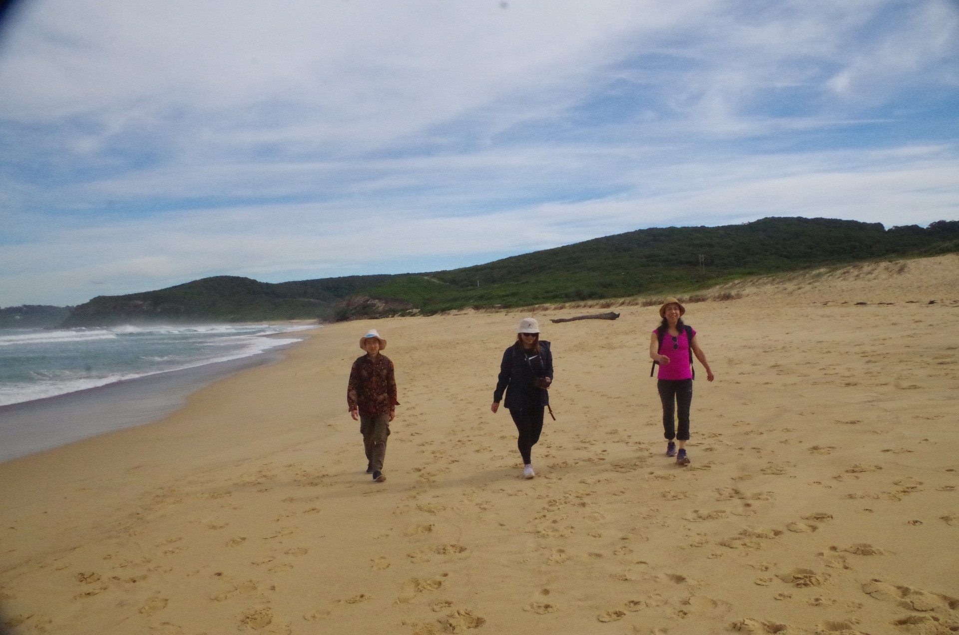
A very short uphill section brought us to the Yuelarbah track proper, and it’s obvious that the wheelchair accessible part stops here, as it becomes rough with several steps along the way. It skirts Flaggy Creek with a view of a waterfall along the way until crossing Little Flaggy Creek (on a bridge this time) to reach Leichhardt’s Lookout. (Early explorer Ludwig Leichhardt visited this area three times in September and November 1842). The lookout was a good spot for a late morning tea break with water and Lamingtons. Then we took a short detour to get back onto the Management Trail and along the way we saw a couple of Bellbirds [bell miner (Manorina melanophrys)] having a wash in a puddle. These birds are often heard but rarely seen, being a dull brown colour well camoflaged. Not long after that we left the forested area to encounter heathland with views of the beaches, and also noting a rough track going down to one. I figured that this might reconnect to the proper Yuelarbah Track but decided to keep to the Management Trail for a bit longer. Not too far along it starts to parallel Burwood Beach, and I noticed another rough track leading down to that beach, which we took. We passed by some rusting remains of coal wagons and rails from the old Burwood colliery railway that once ended there. Unfortunately there is also a lot of Bitou Bush, native of South Africa and used to stabilise sand dunes which it does well, but has since gotten out of control along many of our beaches.
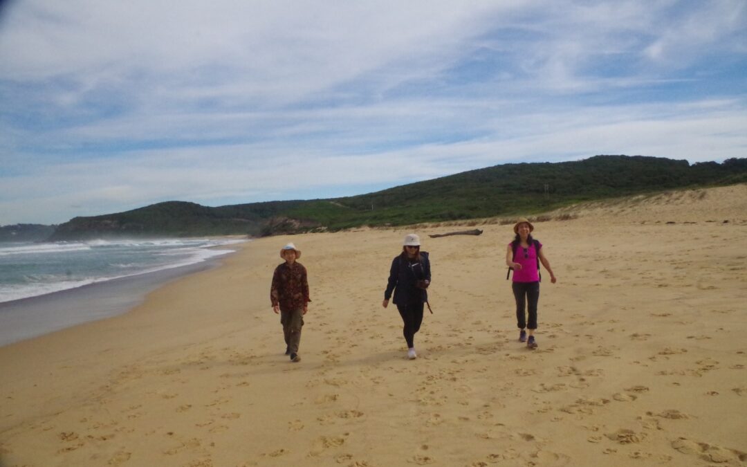
Burwood Beach is rather desolate and is not a good place for a swim for two reasons: (1) unpatrolled and known to have dangerous rips, and (2) a nearby sewerage treatment works which makes any downwind section of the beach a bit whiffy (as it did this day at the northern end). Ironically its use as a coal mining area in the past saved it from housing development. Apart from the few rusting remains of the railway there is nothing remaining of the coal mine now. There is a descriptive sign and a shelter there and to get to it you step across a half metre thick coal seam!
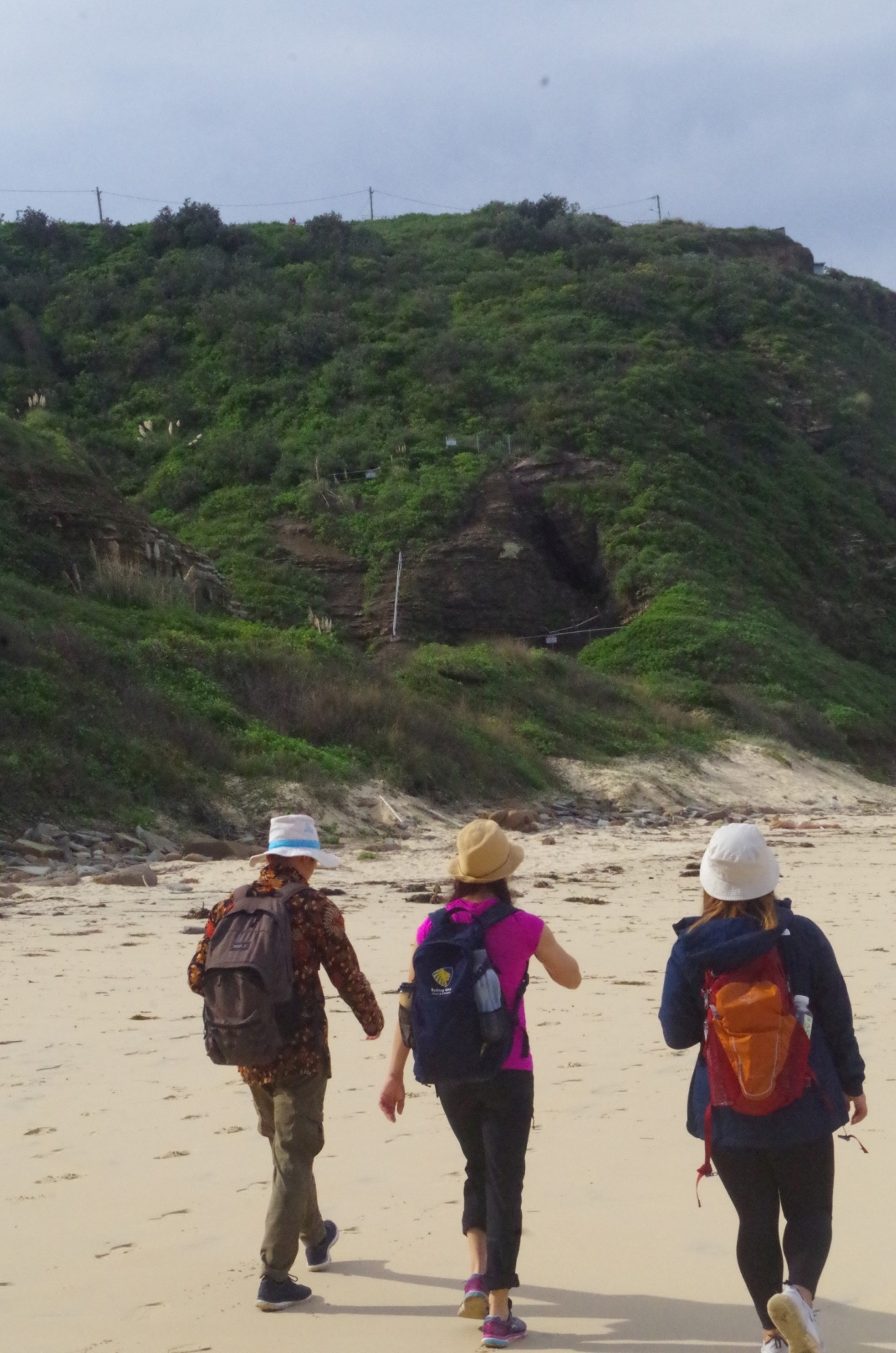
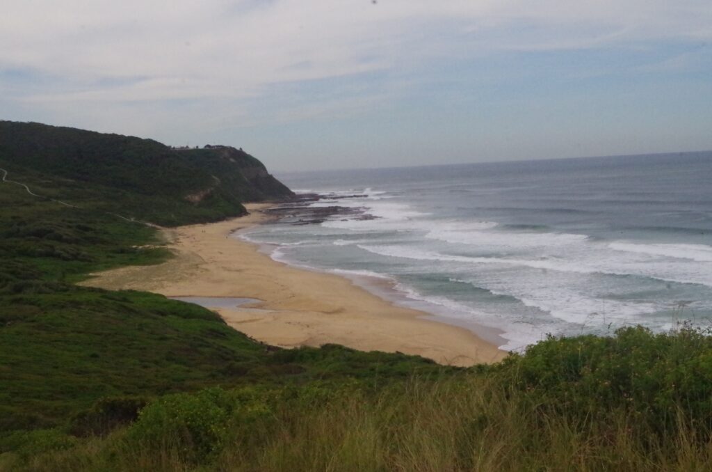
After a short stop there we continued along the northern part of the beach under crumbling cliffs which don’t look very stable and I noticed what appeared to be an entrance to a tunnell (now blown down) of the colliery railway. The history of the site mentions only one tunnel from Merewether but not two tunnels, but an old ordnance map (1:63,360 or 1 inch to 1 mile) does indeed show two tunnels (see my last photo). Anyway from the beach the Yuelarbah “track” (no longer a formed track) is supposed to go along the ro
ck platform at the base of the northern point here, but it looks to me that it could be inaccessible at hight tide and a moderate or rough sea swell. Fortunately for us the tide was low when we crossed it and safe despite rough seas this day. There is an alternate track up the hill to a lookout at Merewether Heights which can be seen in my photos but it is quite steep and ends in a road bash back to Merewether Beach.
On the cliffs above the rock platform the former south entrance to the Merewether coal line tunnel is much more clearly seen, but it is fenced off and also blown down I think (we didn’t go to look). After traversing the rock platform we arrive at Merewether Beach and the Ocean Baths. This is were we stopped for a swim and a late lunch. The baths were fairly bust due to the unseasonably sunny weather and also the beaches nearby being closed due to the rough surf. The water was quite cold at first but nice nce used to it, and welcome after the walk.
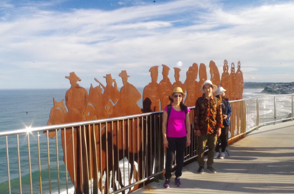
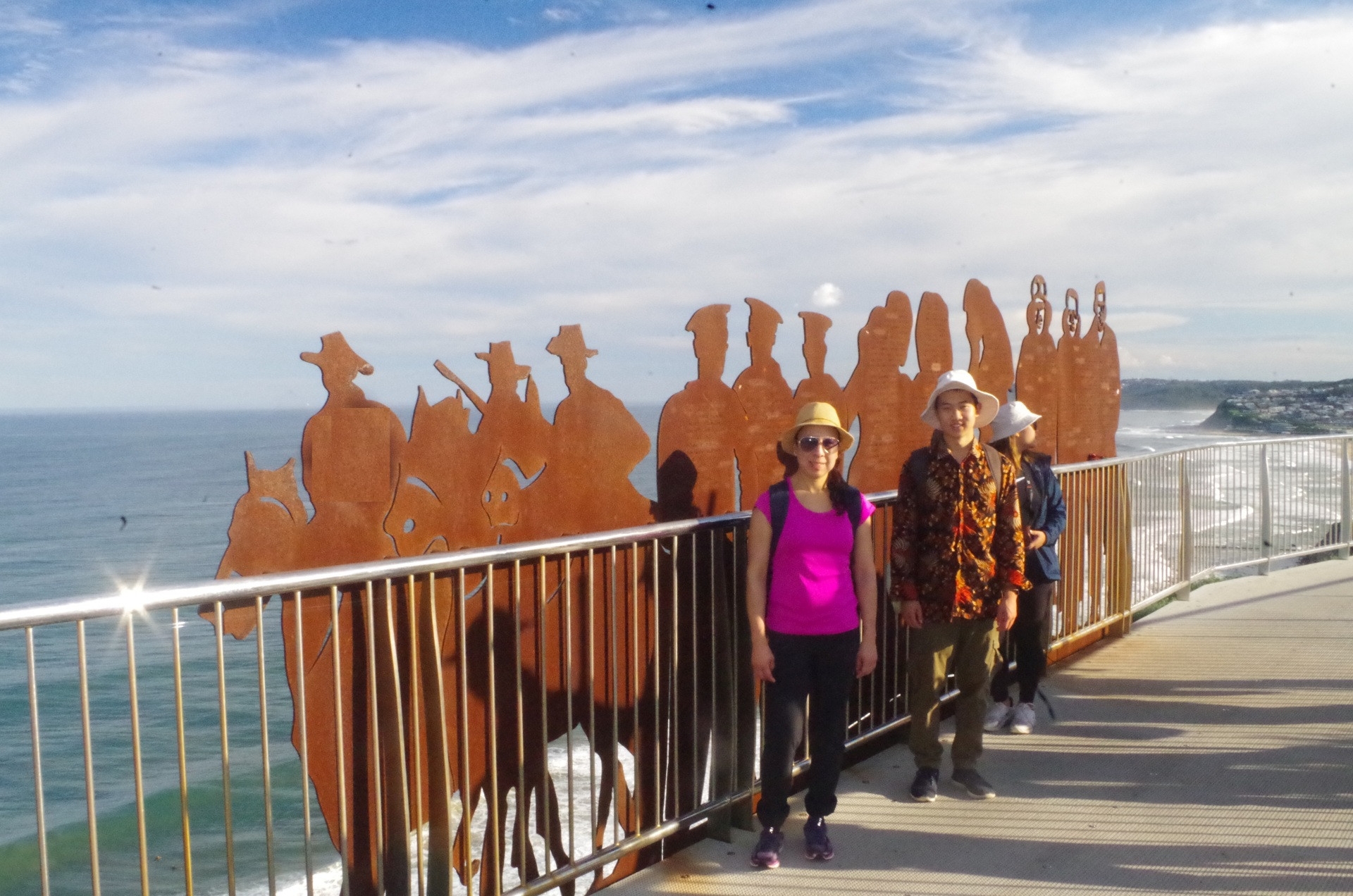
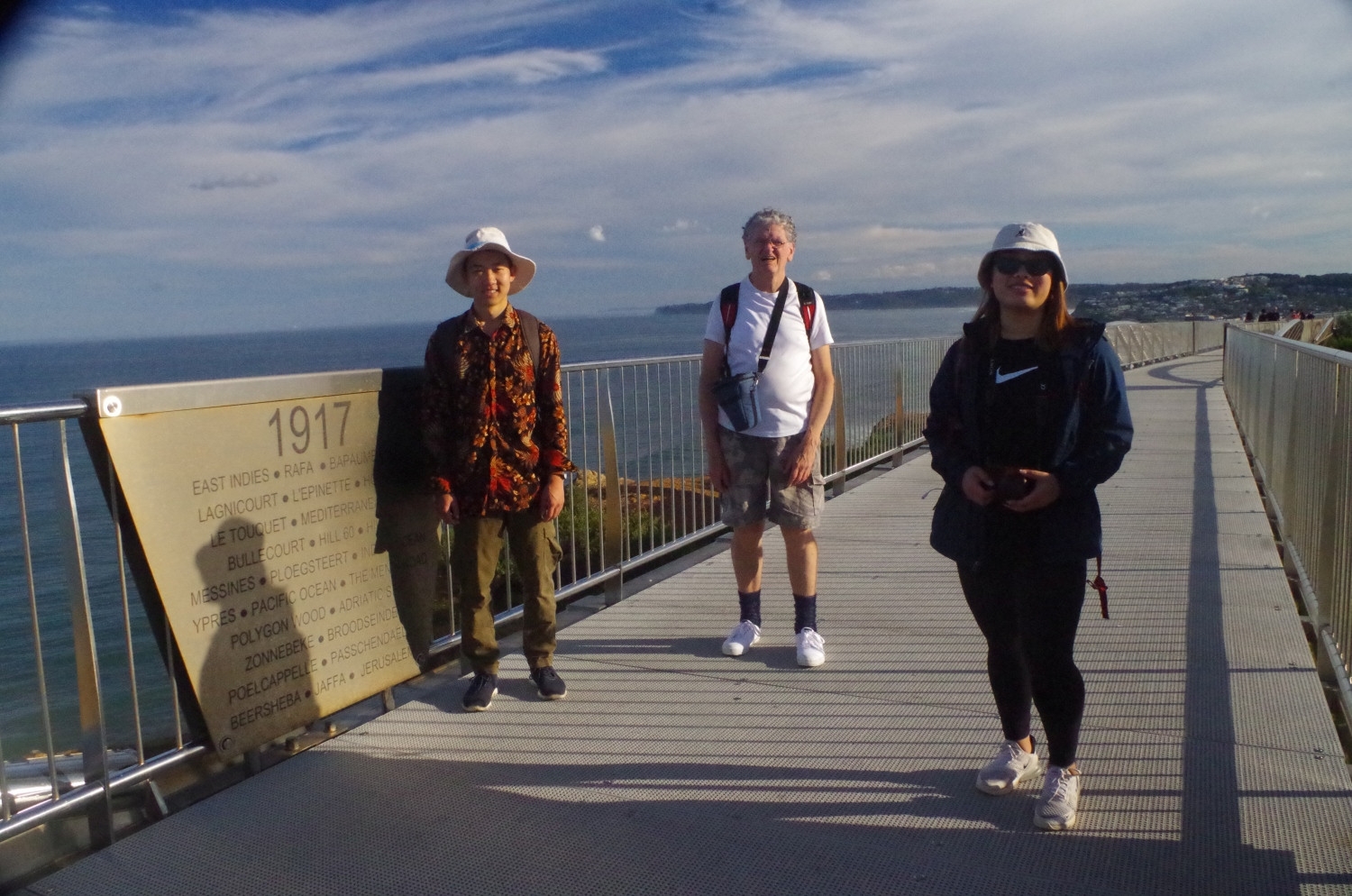
The walk was not over yet though and after lunch and the swim we continued along the waterfront path of Merewether Beach ad Bar Beach and then reached via a steep climb the Strzelecki Lookout (named for Paweł Strzelecki, the same Polish explorer who named Mount Kosciuszko). This give a fine view not only south along the coast to as far as Swansea but also north over Newcastle and Stockton Bight. Then we came to the new Memorial Walkway which is not mentioned in the “Wildwalks” description of this walk, as it was opened on 25th April 2015 (Gallipoli anniversary). This also give great views and ends up at Cliff Street which has old building with a colonial defense connection. Nearby is the remains of a World War 2 fortification and gun bases called “Shepherd Hill Complex”. These guns (and those at Fort Scratchley further down at the Beach) in 1942 fired on a Japanese submarine which had earlier lobbed shells into Newcastle, and then foolishly attacked a Russian freighter off Newcastle. That could have caused the Soviet Union to declare war on Japan in 1942 instead of 1945 when it did! A little known incident off Newcastle would have become much more famous.
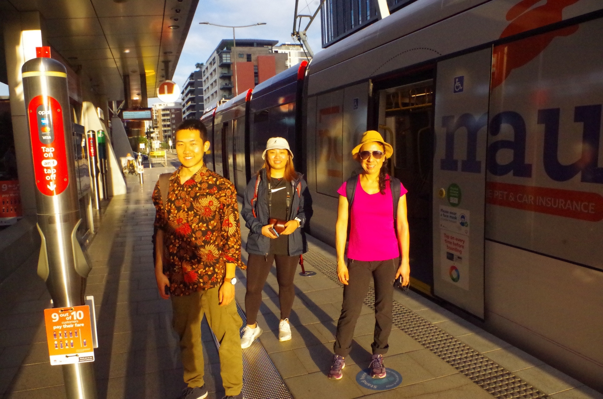
A pathway winds down from there to Shortland Esplanade, a wide pathhway which normally follows the seashore to Newcastle Beach. Halfway along there was a sign leaning on the seaward fence stating “track closed”. This puzzled us as we had just walked along it and it was not closed. We continued along and on rounding a corner saw that about 150 metres ahead there was a fence and earthmoving equipment on the pathway. That meant doubling back and going uphill through King Edward Park up the hill to the top of Watt Street and then down to Newcastle Beach. Some time and distance was wasted but fortunately we had been doing well with the time (as I suspected, “Wildwalks” was being conservative with its time estimate for this walk). Another toilet break and short rest at the beach, then it was off to the nearby tram terminus. There was a tram waiting there which would get us to Newcastle Railway earlier than we needed but we got on anyway. As Newcastle was outside the present COVID19 restriction area, masks weren’t required on the tram, and nor were they on the train later on for passengers travelling as far as Wyee.
From Newcastle Interechange we settled in for the two and a half hours trip back to Sydney (although I bailed out at Gosford for my own local train from there). We had to get that 4.53pm train as all later trains terminated at Wyong because of overnight trackwork, which would have meant an even longer uncomfortable trip on a bus back to Sydney (and David needing to get off at Hornsby for a further wait for his local train there).
I mentioned on the trip description that the Sydney-Newcastle trains still run on the 1971 steam train timetable. I was wrong:they are even slower! On the 1971 timetable there was a 5 or 7 minutes wait at Gosford to swap the steam loco for an electric one (or vice versa). There is no such need nowadays, so for that reason alone the trip by electric train all the way should be faster. It’s not!
Anyway, everyone liked the trip and thought it was worth the total of a 5 hour return train trip to do it. Once the Yuelarbah Track is repaired between Leichardt’s Lookout and Burwood Beach, it can be done as intended. Also it is possible to follow the Fernleigh Track further down to Dudley then a 1km road bash to Dudley Beach to follow the seashore north from there past Glenrock Lagoon to get to Burwood Beach etc. You would need a longer day in summer to do that, and maybe when daylight saving recommences after October. We will see.
Both my photos link and Shandi’s photos link are above, but here are a few selections below.
Bruce Stafford