Date: 10/10/2020
Trip leader: Bruce Stafford
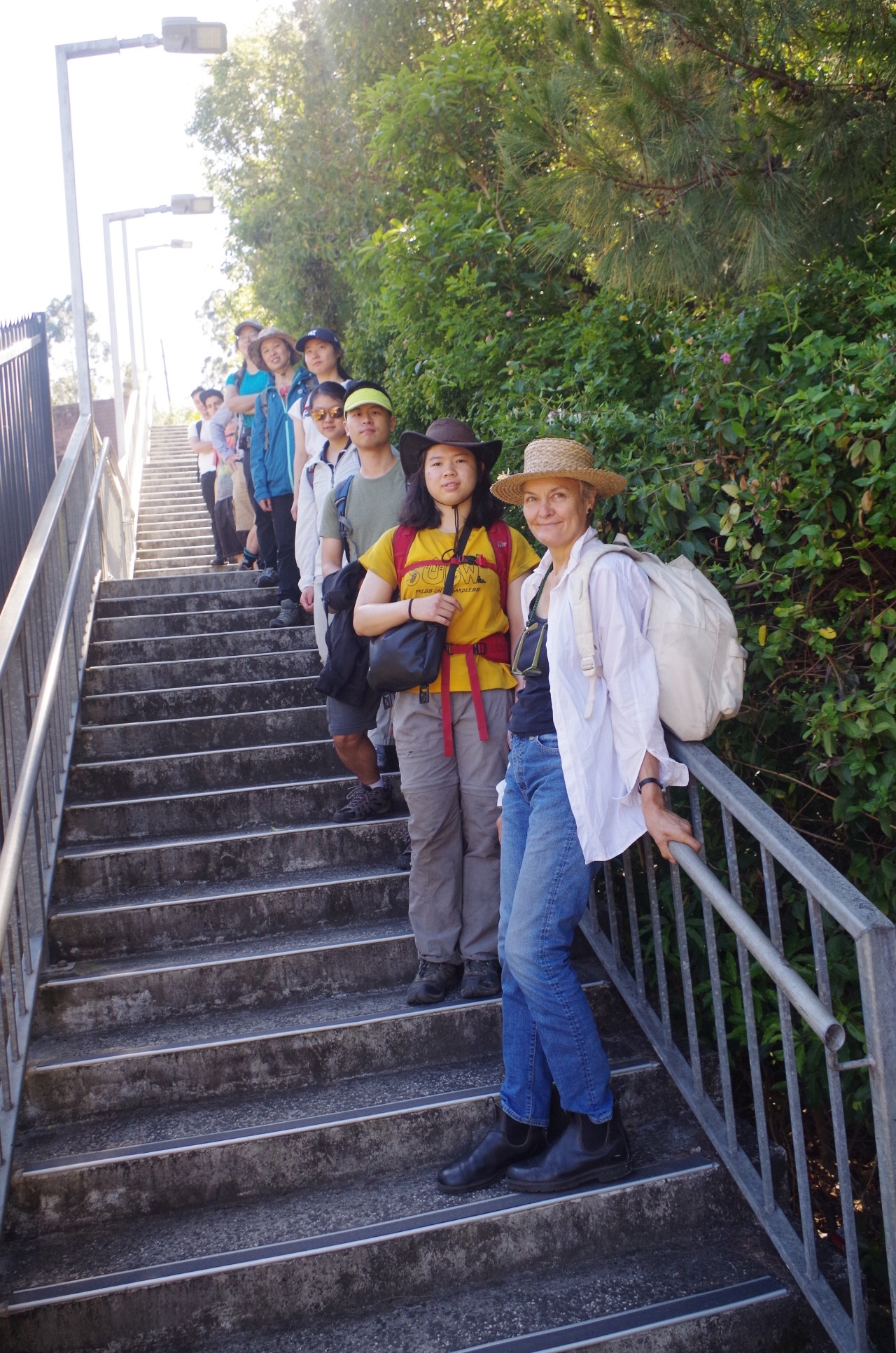
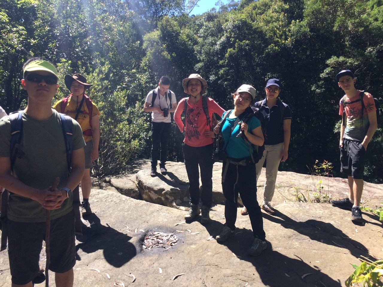
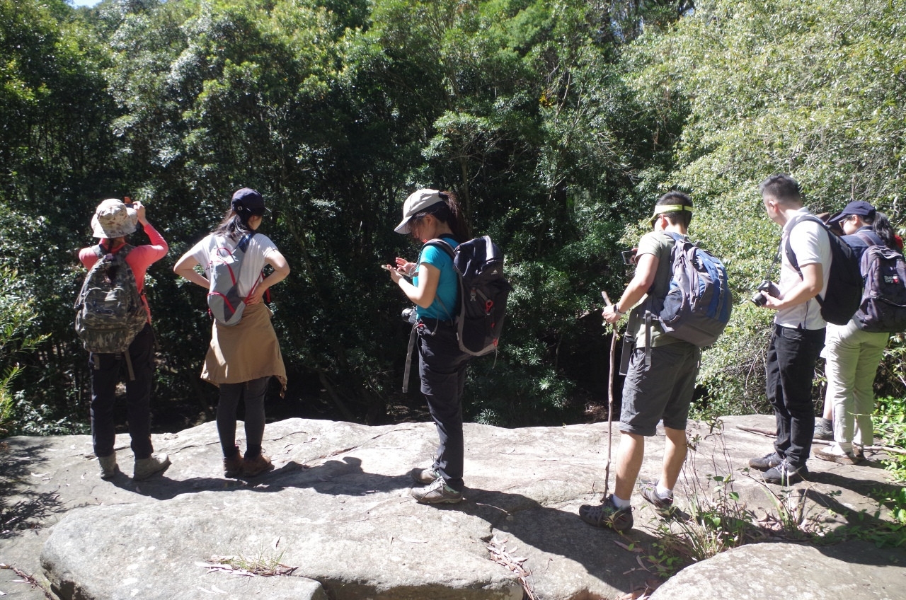
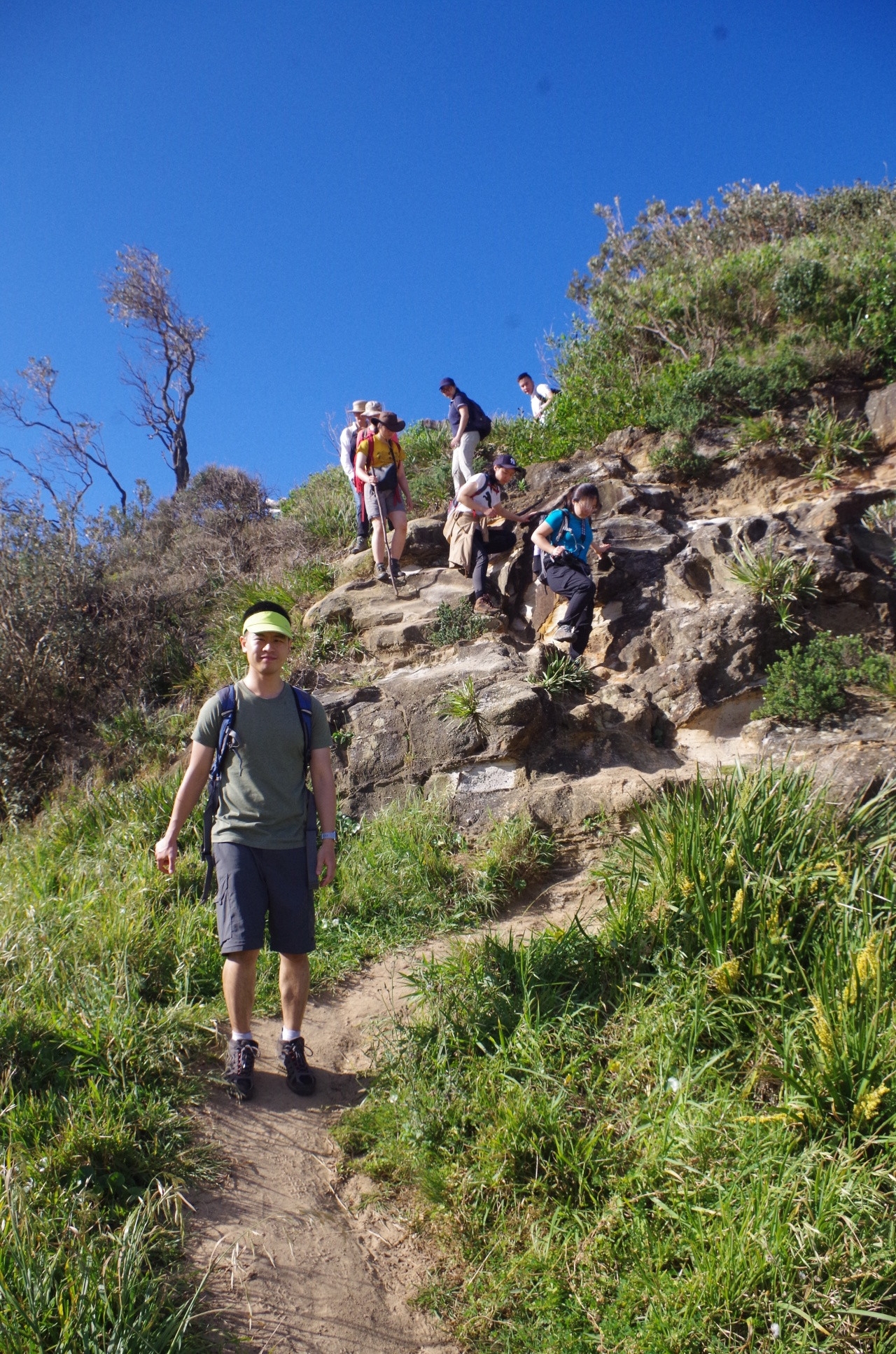
Party: Bruce (leading), Erica, John, Jacky, Rickie, Jessica, Eric, Uyen Nhan, Simon, Emily, Peggy. And no “no shows”.
Photos: by Bruce
I had set a limit of 12 people on this walk, as I considered that a larger number would be harder to manage on a walk like this. The wait list was almost taken up with people cancelling earlier (thank you to those), and I offered someone a spot around midday on Friday. They didn’t respond so I assume they must have got a better offer in the meantime.
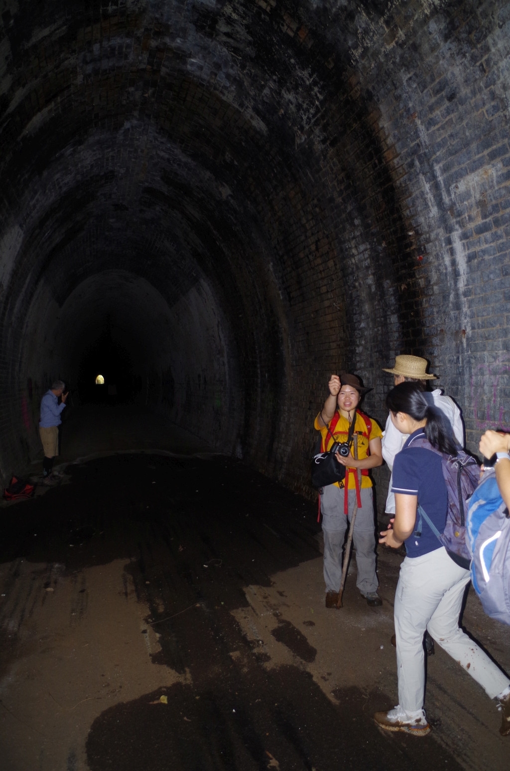
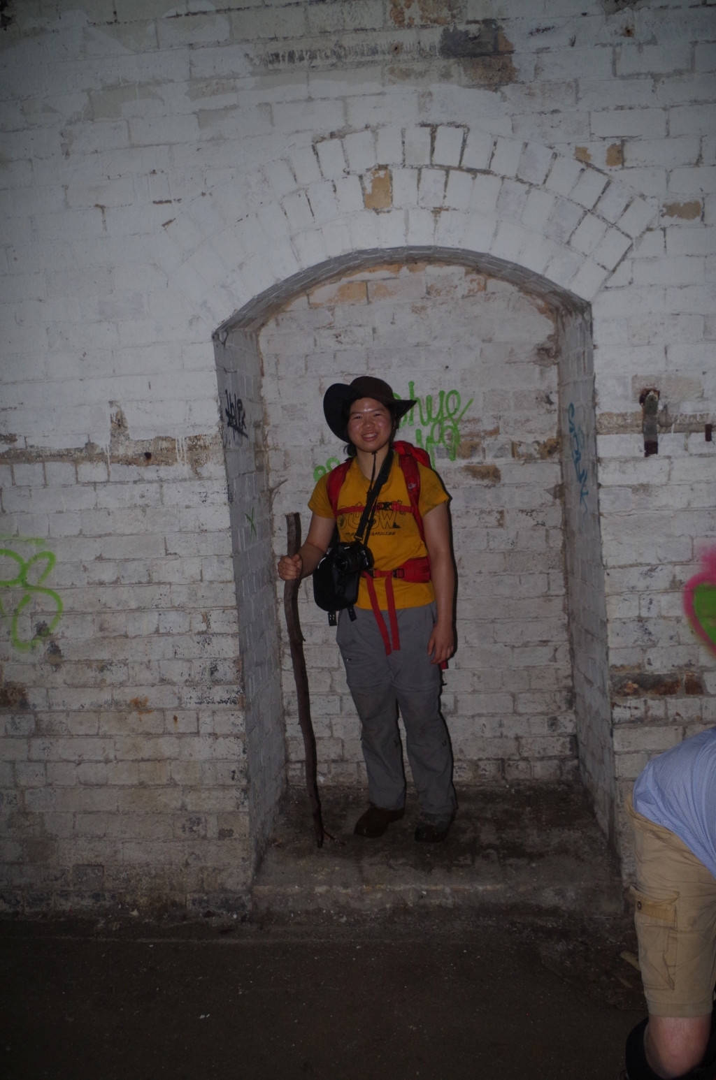
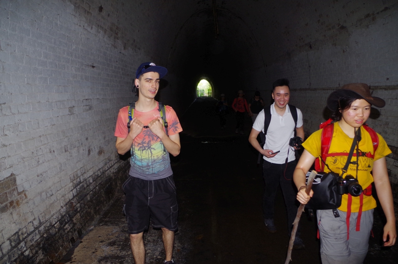
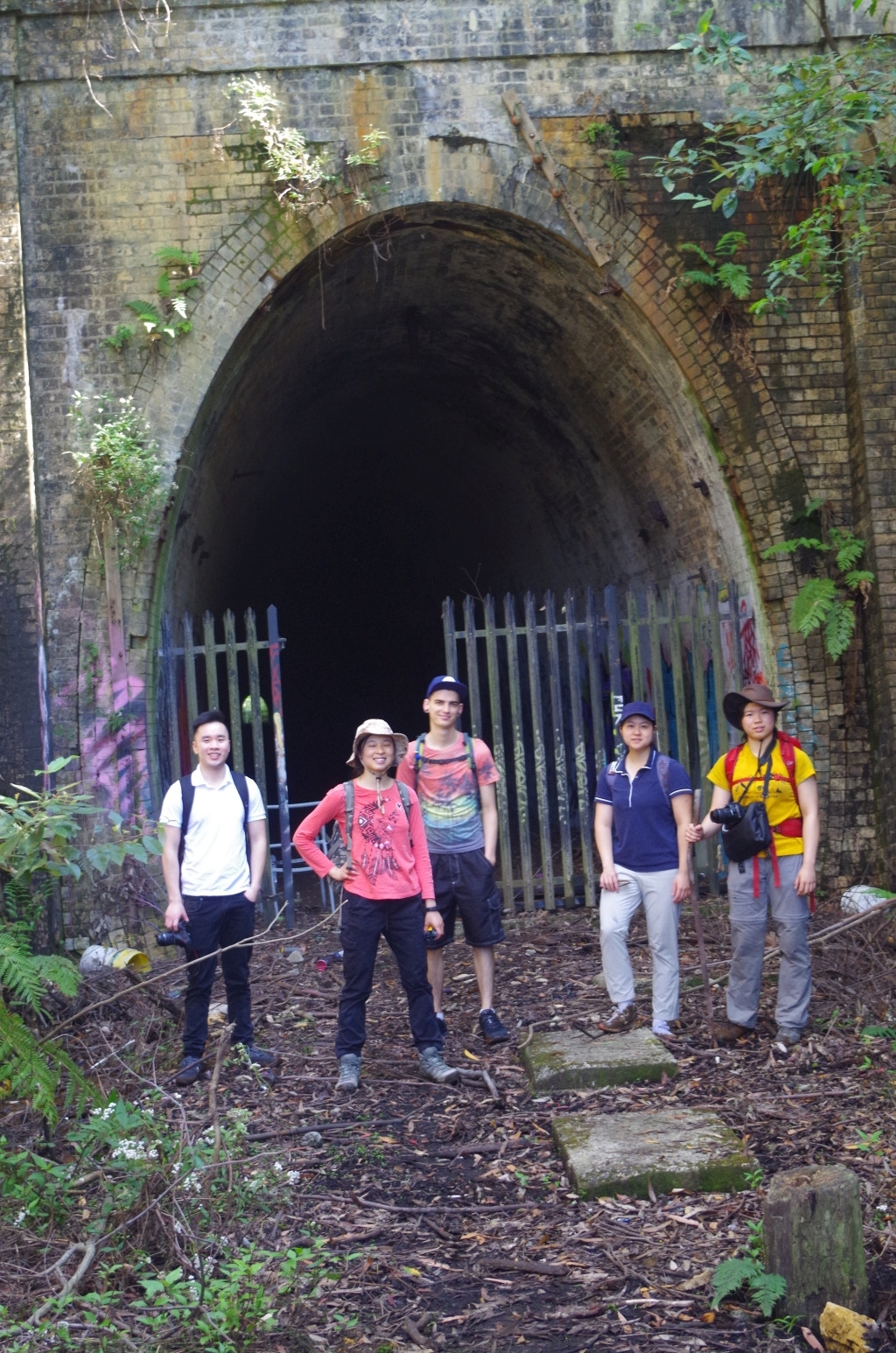
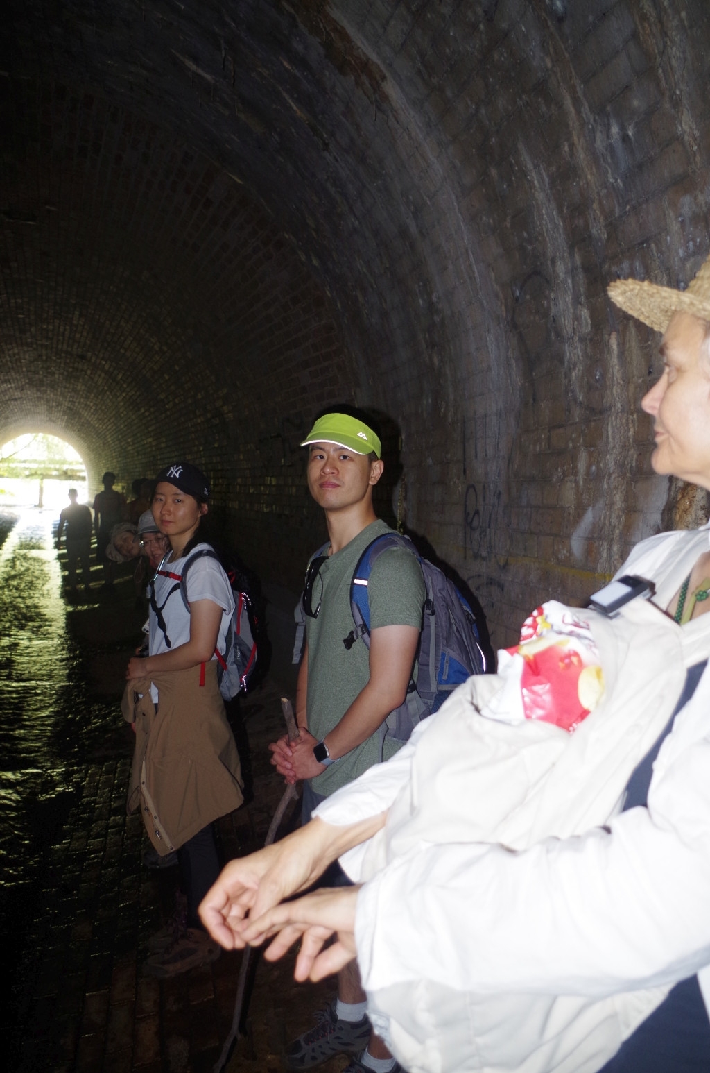
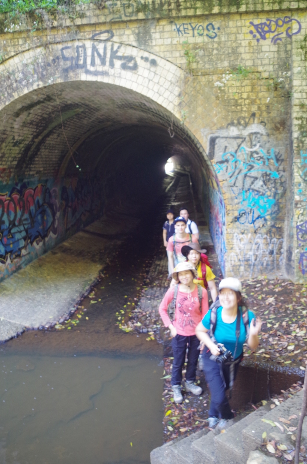
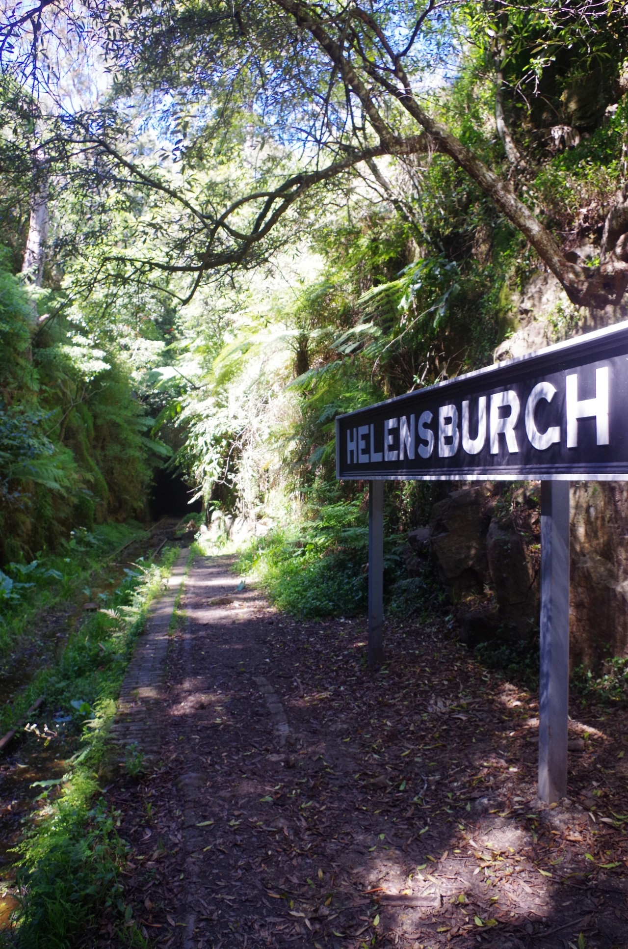
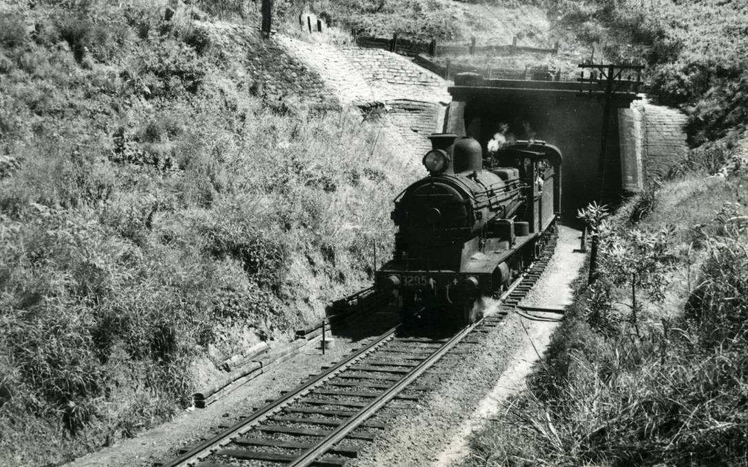
With people getting on the train at various places we all met up at Helensburgh Station, and after a loo break we set off along the first part of the walk, to Cawley Tunnel. Cawley is the second of the original 8 tunnels built for the Illawarra and South Coast rail line in 1888. All except the last two were closed in 1915 when the rail line was duplicated and re-routed on an easier but winding gradient. Cawley Tunnel now lies within Garrawarra State Conservation area and is accessed by crossing the rail bridge and going along Cawley Road, which except when there is trackwork, has a locked gate to stop vehicles accessing it. Once over the crest of the hill it is then just a matter of finding the most suitable bush track into the old cutting north of the tunnel entrance. A good one was found down to the cutting, and at first I was pleased to note that it was quite dry underfoot, and I said that it would also be dry at the tunnel entrance. I spoke too soon! It was rather damp and muddy in places – seems to be like that all the time even in drought. Once inside the tunnel the floor was dry and level, and on a bright sunny day like this day there is just enough light at either end not to need torches in the tunnel, despite its 381 metres length. That is a legacy of the mushroom growers who had a mushroom farm in this tunnel until about 15 years ago, and they had painted the tunnel walls white.
After walking through the tunnel there was another muddy section at the other end to negotiate, but once off that we came to a wide concreted area which was where the mushroom farm had its operations, but now looks like it is being adapted to being an unofficial BMX practice area. After a short break there, we followed a fairly new BMX bike track in the bush over the hill to bring us back to the road bridge over the rail line.
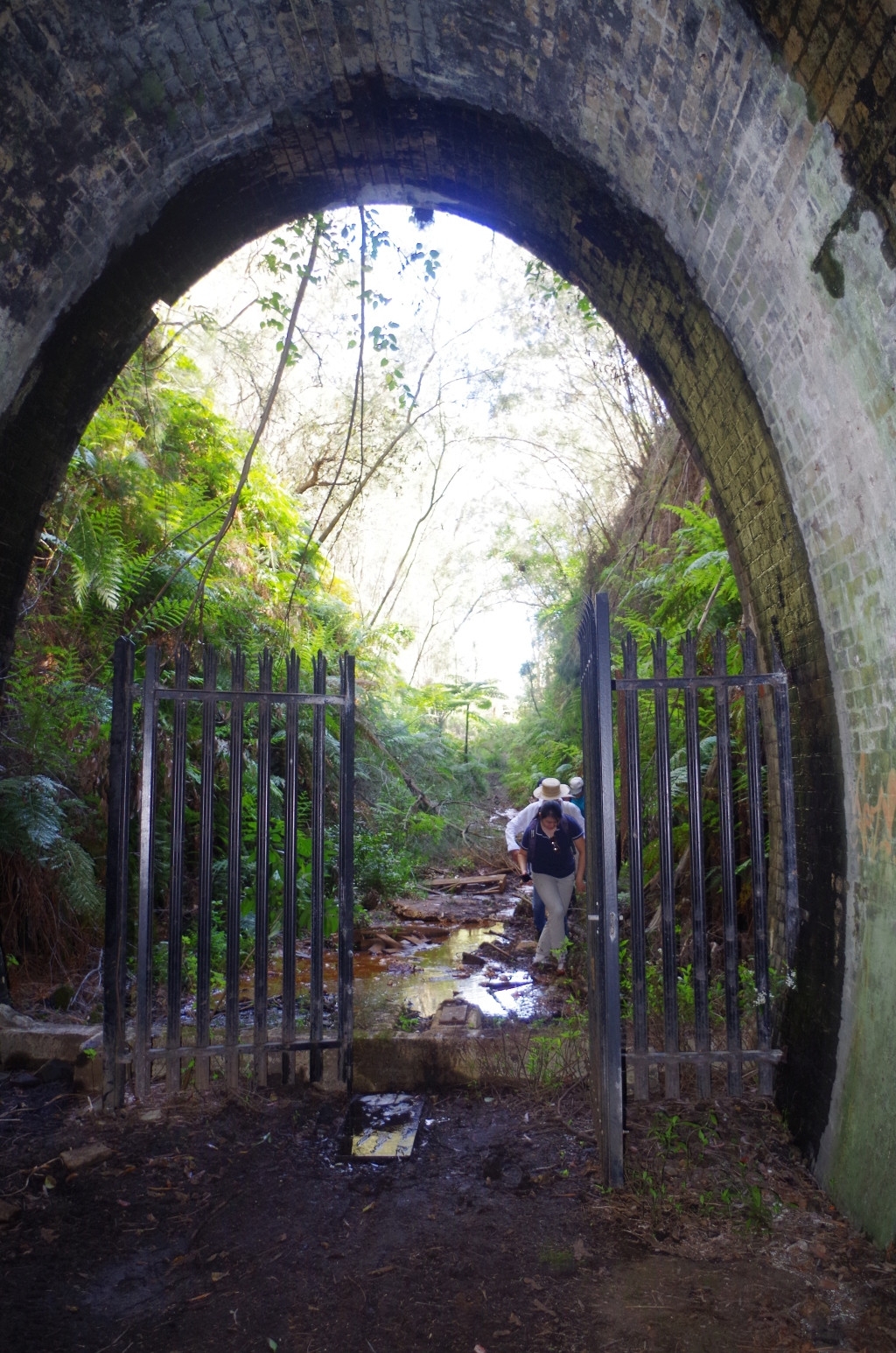
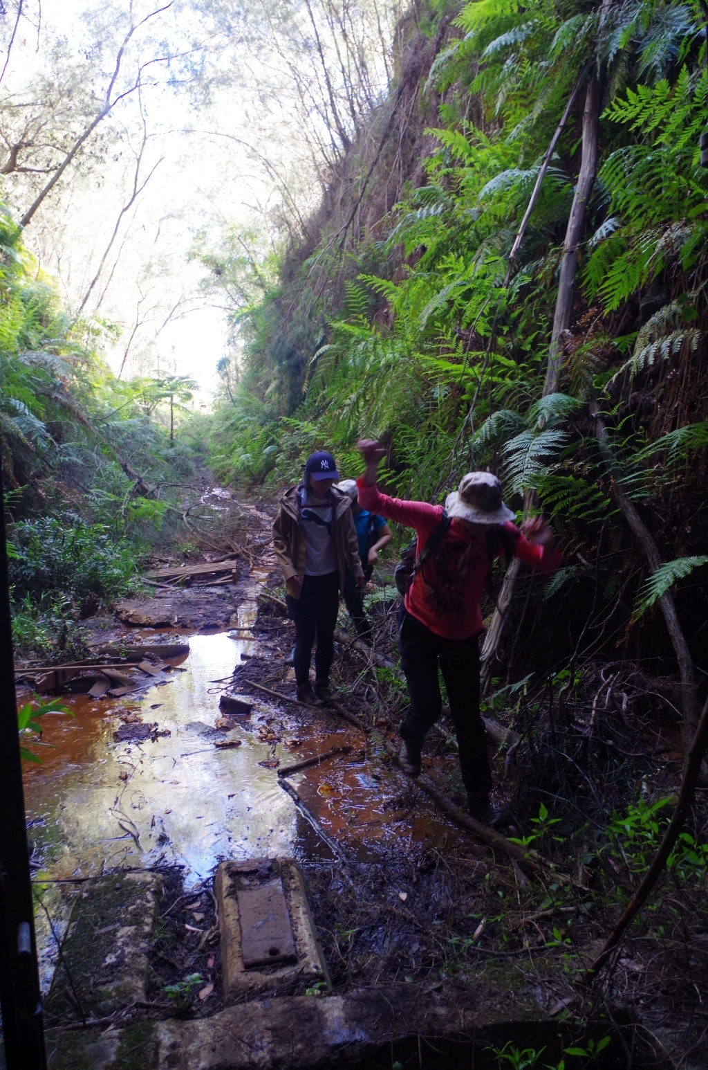
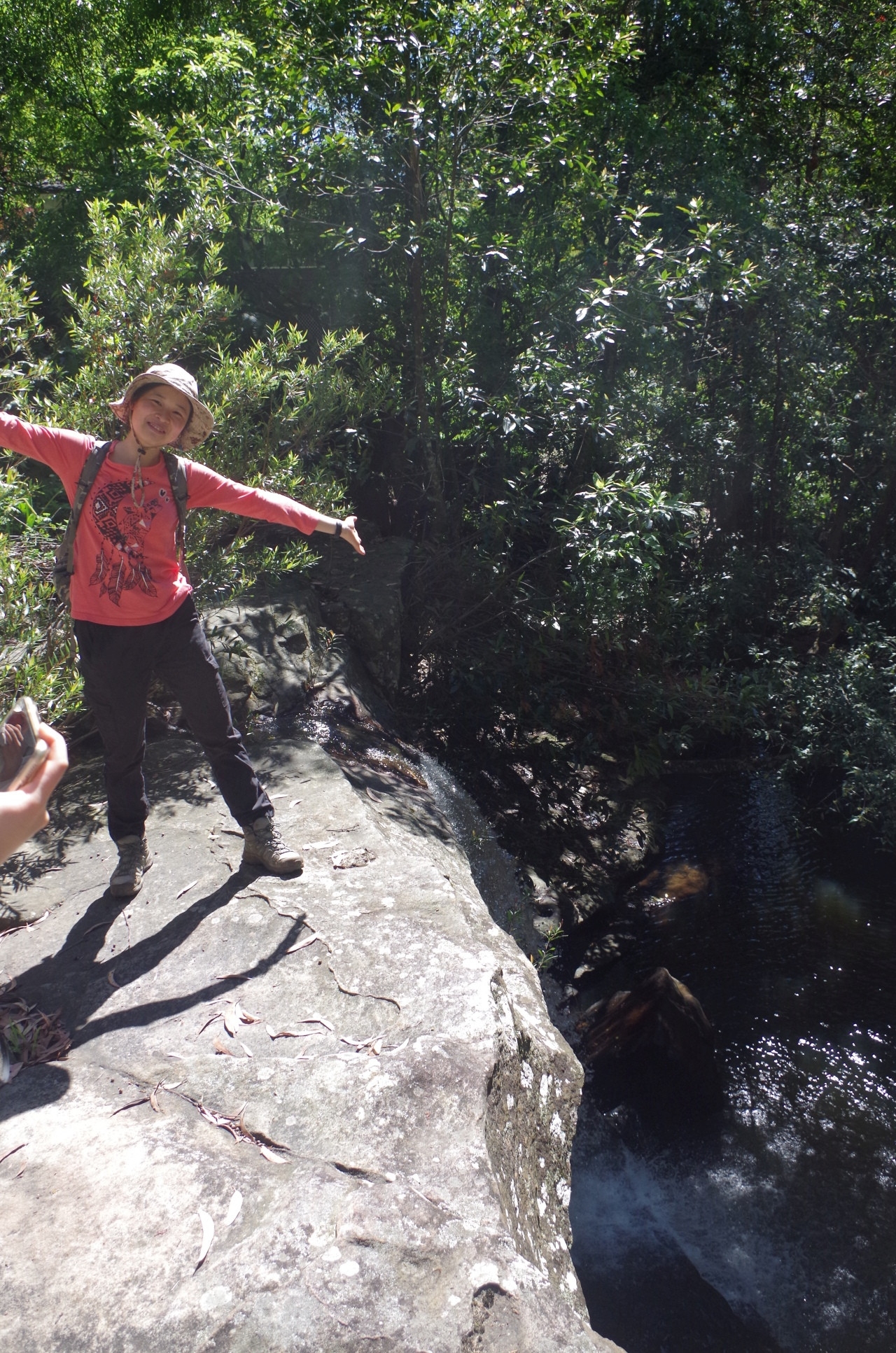
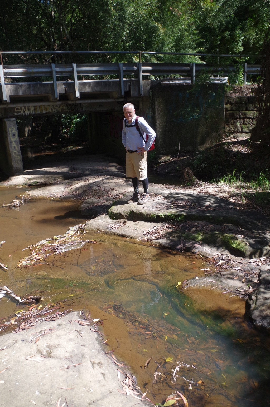
Next came the second “tunnel”. Not really a tunnel, rather the Wilson’s Creek Culvert under the railway. It is in fact two culverts joined in the middle; the first part built for the original rail line in 1888, and the send part added on to it in 1915 for the present line. It is now about 100 metres long. But before entering the culvert, we checked out the waterfall on the other side of the road. It is hard to see from above, but below there appears to be a fairly deep swimming hole that local kids are a to use. I’m not sure I would trust the quality of the water.
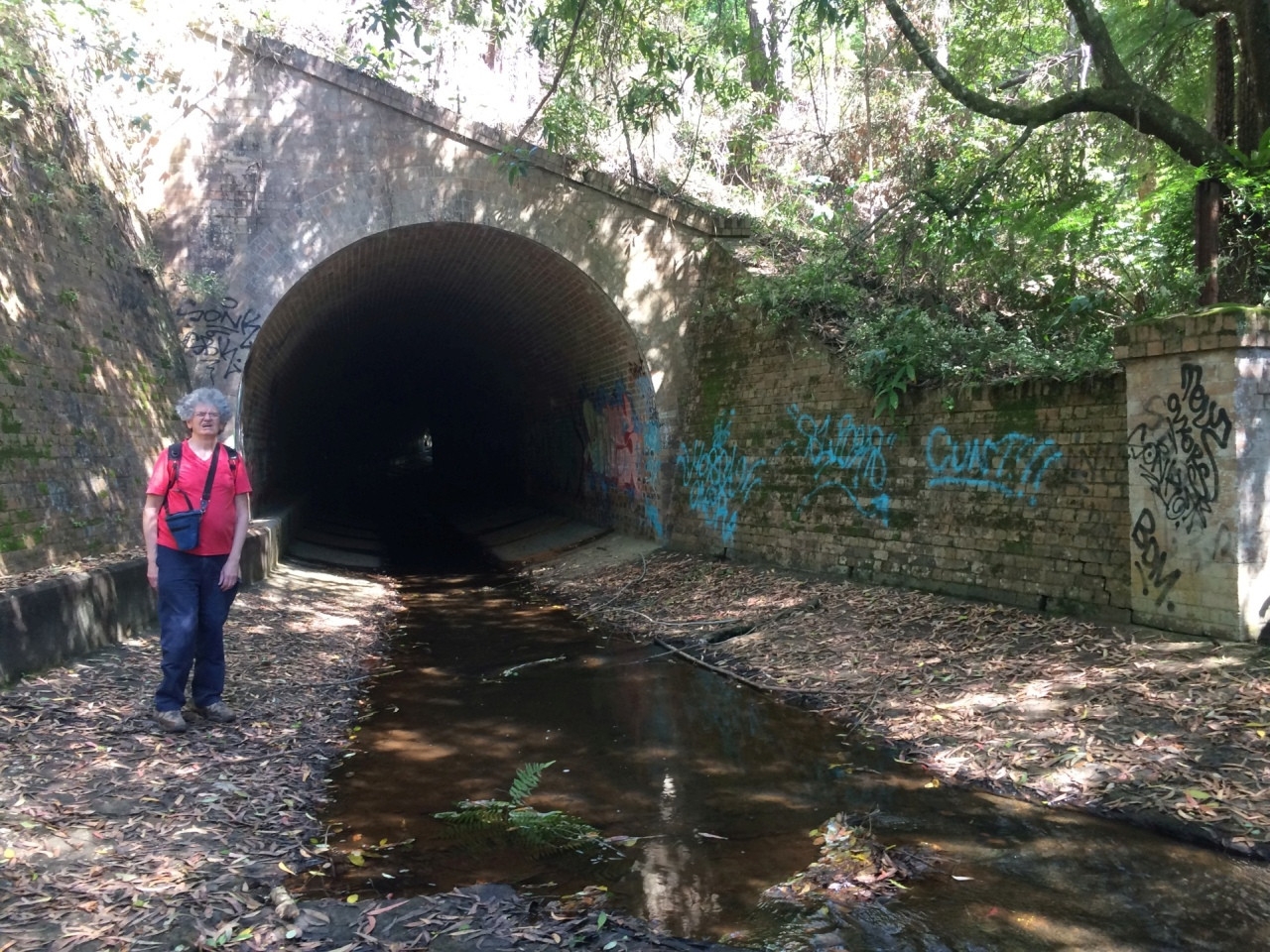
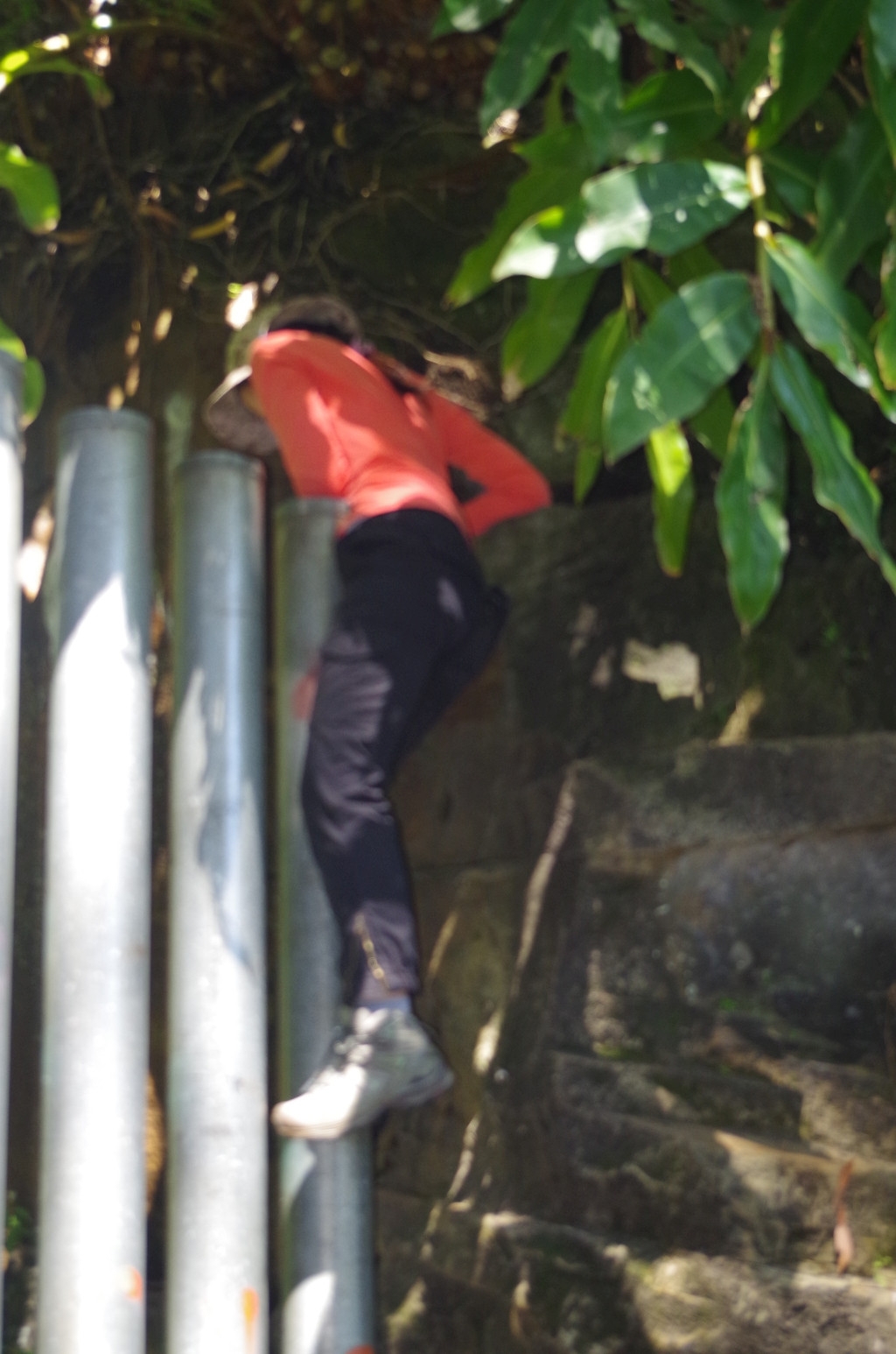
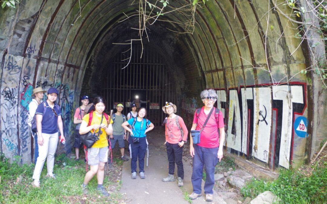
Then we walked through the culvert, being able to stay dry by walking next to the wall and avoiding the channel in the middle. At the other end there is a dam and another waterhole, but to get past it means climbing a very steep but short track to a path further up. That path takes you past the northern end of tunnel No 3, Old Helensburgh Tunnel. This tunnel was blocked at that end by a formidable barrier of metal posts. They reminded John of Donald Trump’s Big Beaudiful Wall (which the Mexicans haven’t paid for). It is obviously meant to stop vehicles using the tunnel and ending up in Wilson’s Creek. It could be scaled with considerable difficulty by a determined person, but the tunnel itself is not very interesting, being only 80 metres long.
After that we went to the entrance of the fourth Tunnel, Metropolitan Tunnel, which has glow worms. I expected that it would be closed at present, and the gate to it was locked. A local spoke to us from the adjacent house and said that locals wanted the gate to be located right at the tunnel entrance itself, as although quite difficult it is not impossible to scale the fence in its current location. The tunnel has been closed because some tourists were coming there and doing very stupid things like smoking cigarettes and lighting flares inside the tunnel. That has caused the population of glowworms inside to decline. It is expected that the tunnel will remain closed for a couple of years to help the glowworms recover.
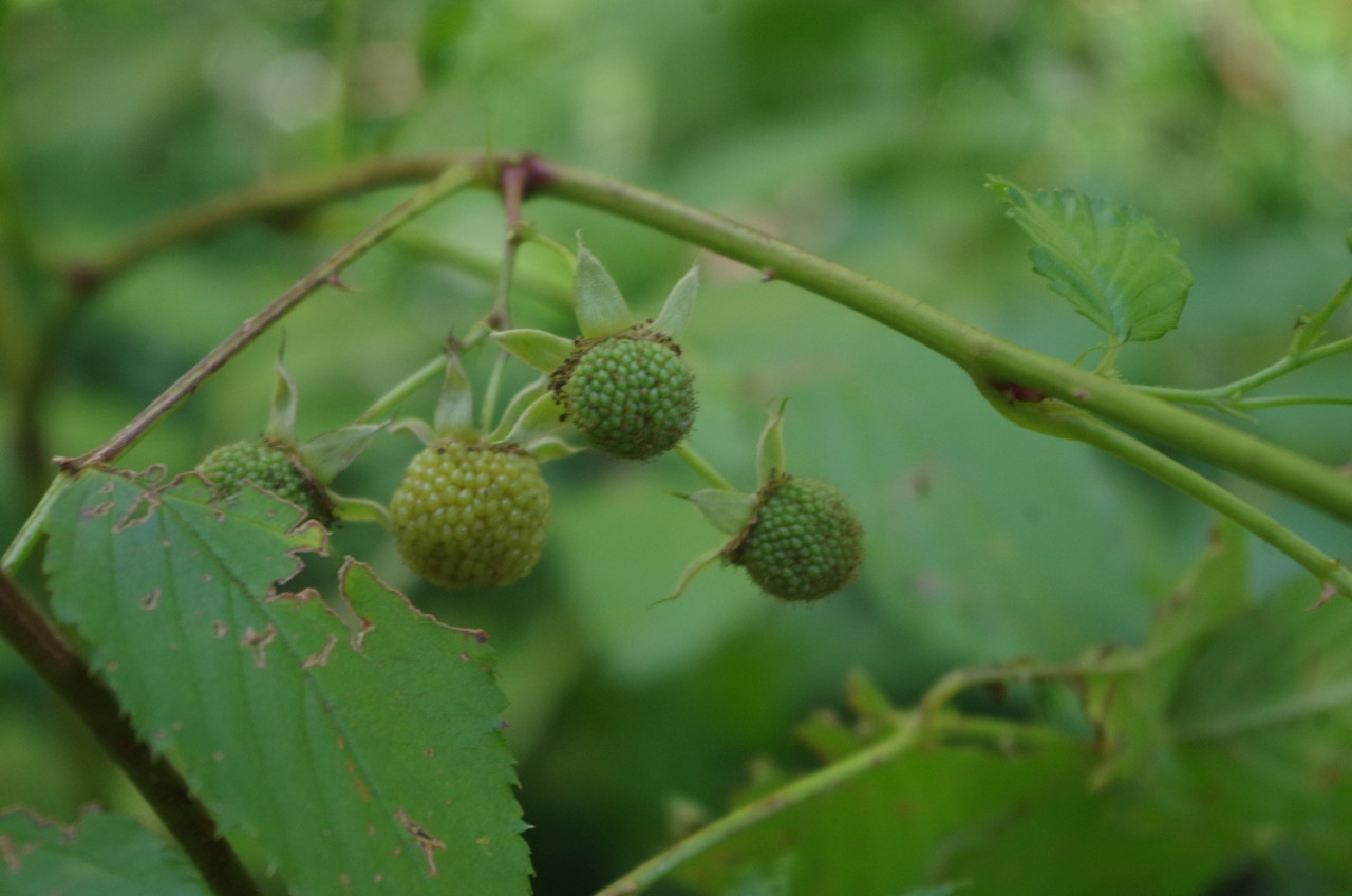
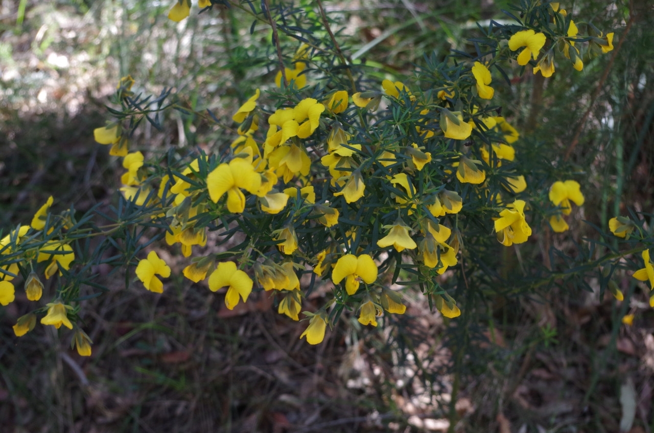
Nearby John discovered some native raspberries, and although they were mostly green and inedible (unless you wanted a stomach ache), there were a few ripe ones. We tried a couple and they were OK but not very sweet.
Then it was off back to Helensburgh Station as another toilet break had been requested. Meanwhile John went to explore the nearby gully which has a track that locals use as a short cut to the station but is known to have leeches (he didn’t get any). We could hear in there (but not see) a Bower bird.
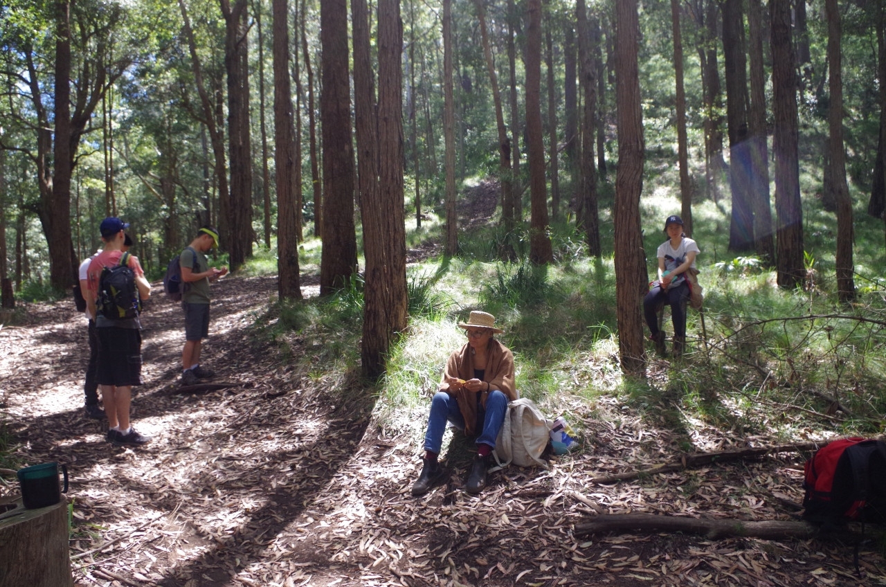
Then it was off along the steep rack beside the rail line which we use to go to Burning Palms from here. It becomes the Hacking Fire Trail which we followed but didn’t turn off at the Burgh Track start. Instead we continued on its whole length to Hacking River, but before that we stopped at a clearing beside a mountain bike trail for lunch. I am curious about where those trails go to and maybe can be an exploration walk for a future trip. Along the way, John’s eagle eye spotted a small Goanna climbing a tree.
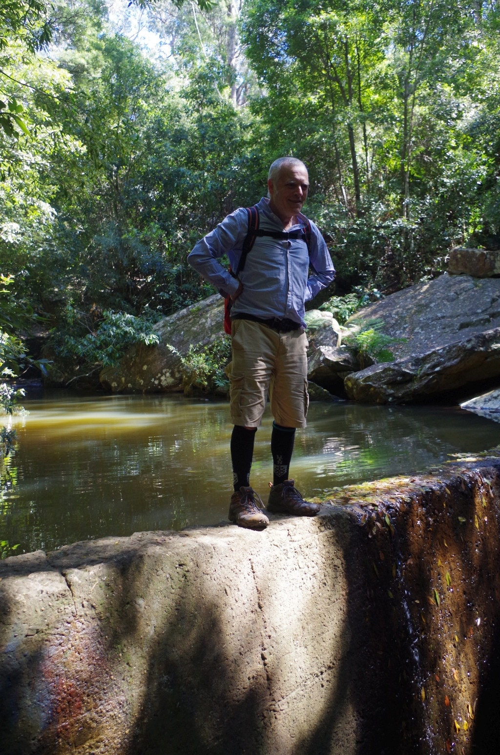
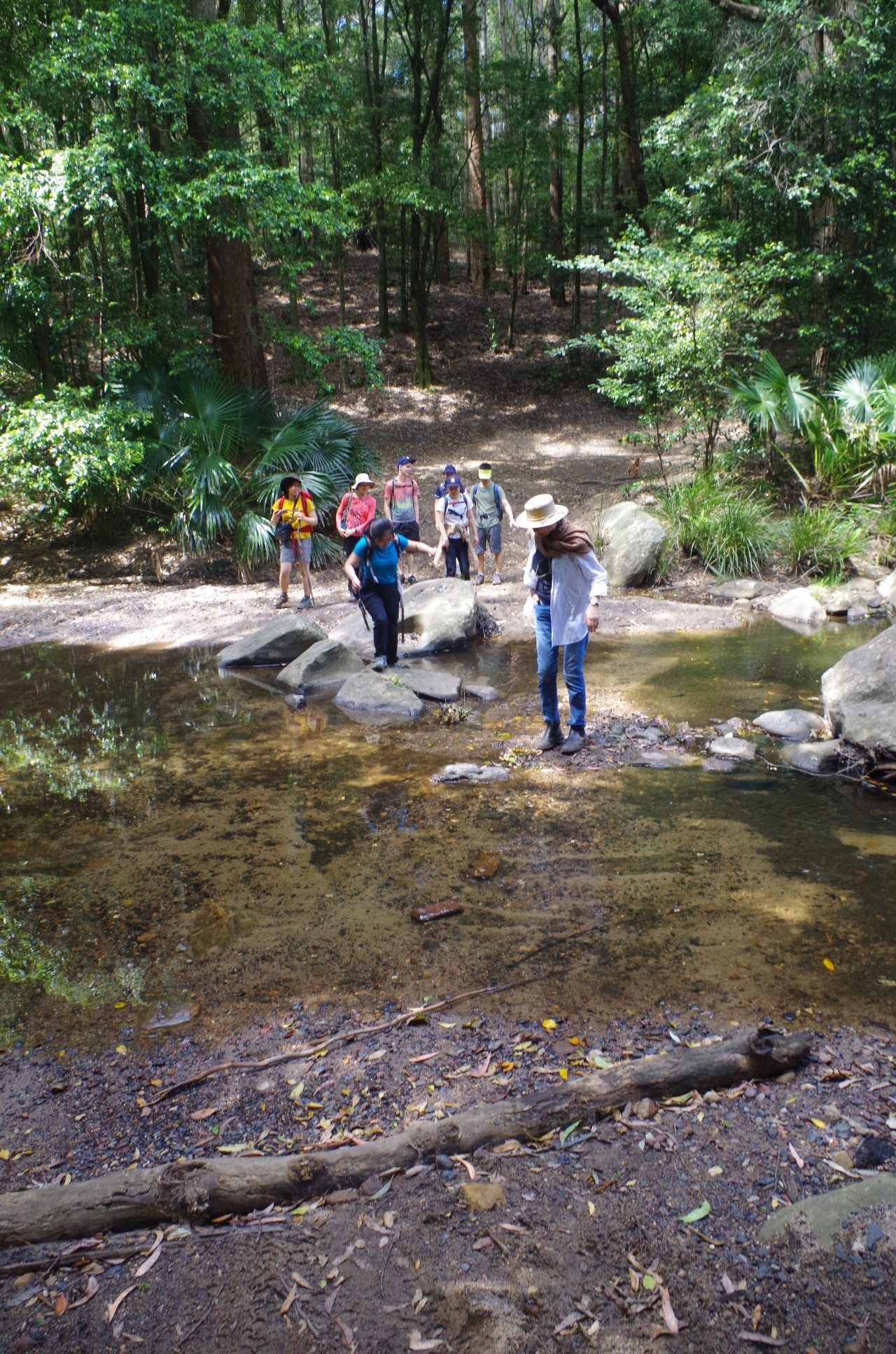
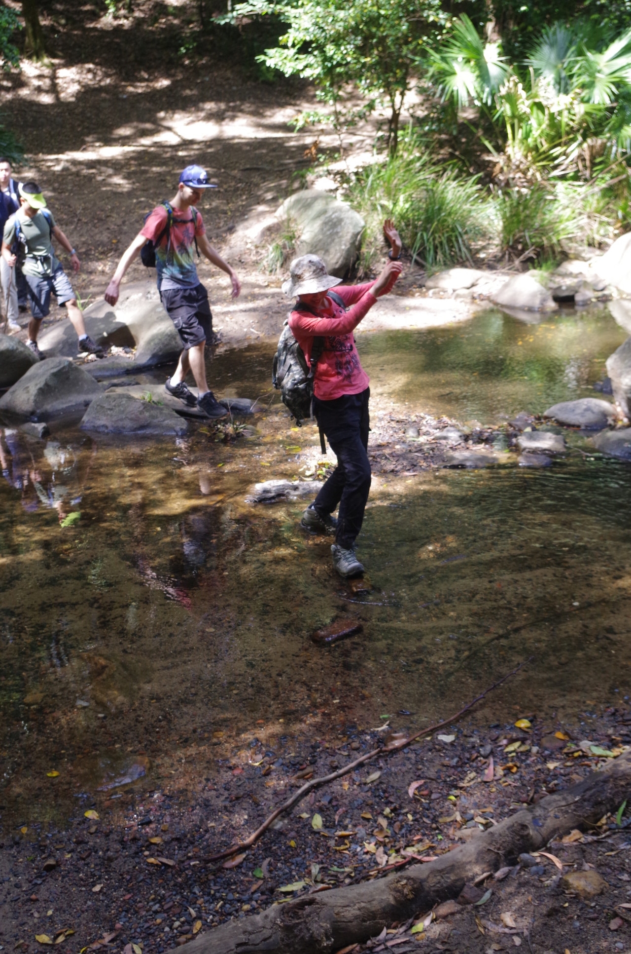
The ford over the Hacking River here is much easier than the one at the Burgh Track, and as long as the river is not in flood can be crossed with barely getting your feet wet. Simon experimented with very easy spot a bit further up and found himself on the wrong side of a fence on private property! The fence was open ended so he soon found his way back to us.
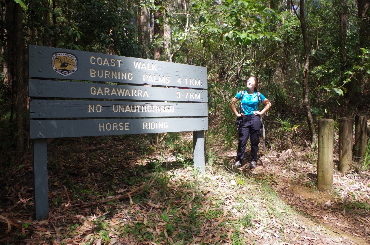
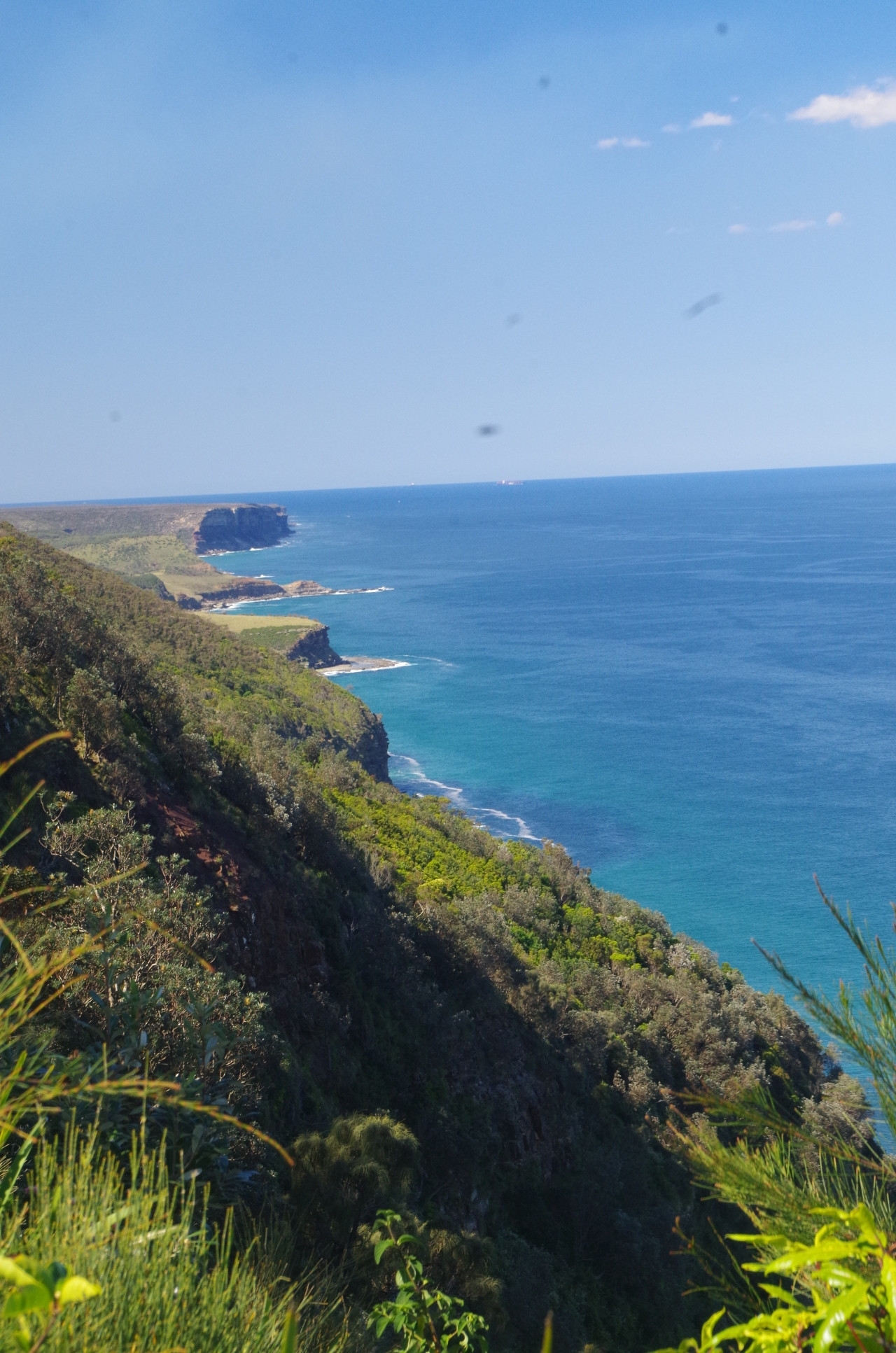
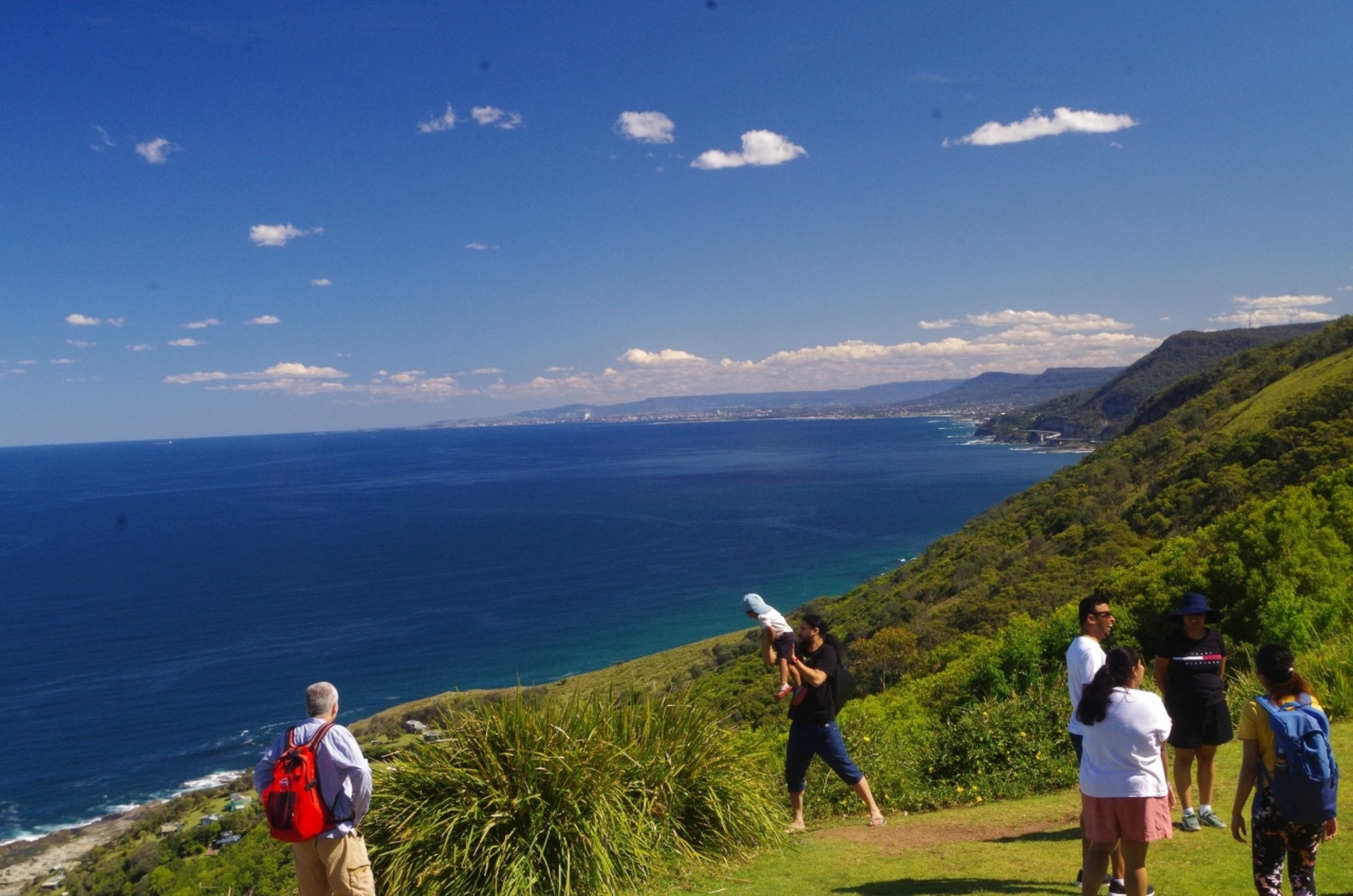
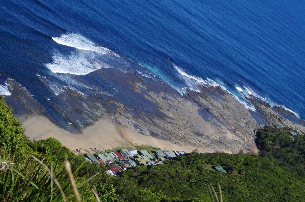
From here there is an unavoidable 1km road bash to reach the start of the Lilyvale Track, but the road verge on this section is quite wide and safe to use. The signboard says “Coast Track” but it is in fact the Lilyvale Track. On the opposite side of the road there is an old gate from which ran old track to the now closed Lilyvale Station (closed in 1983). The Lilyvale Track has a slightly easier gradient than the Burgh Track (the usual track to Garawarra Farm) and over a shorter distance. Once on the ridge top it is level for about 1km before joining the Garawarra Ridge Trail. We turned right there to go to Otford Lookout, 2.5km further along. Only 5 minutes along that trail is the junction of the Coast Track to Burning Palms. A couple of the girls noted the signboard and elicited pleas to go to Burning Palms please please! That however was a 6km detour so was out of the question on this walk. In any case it was then high tide at Figure 8 so that would be inaccessible.
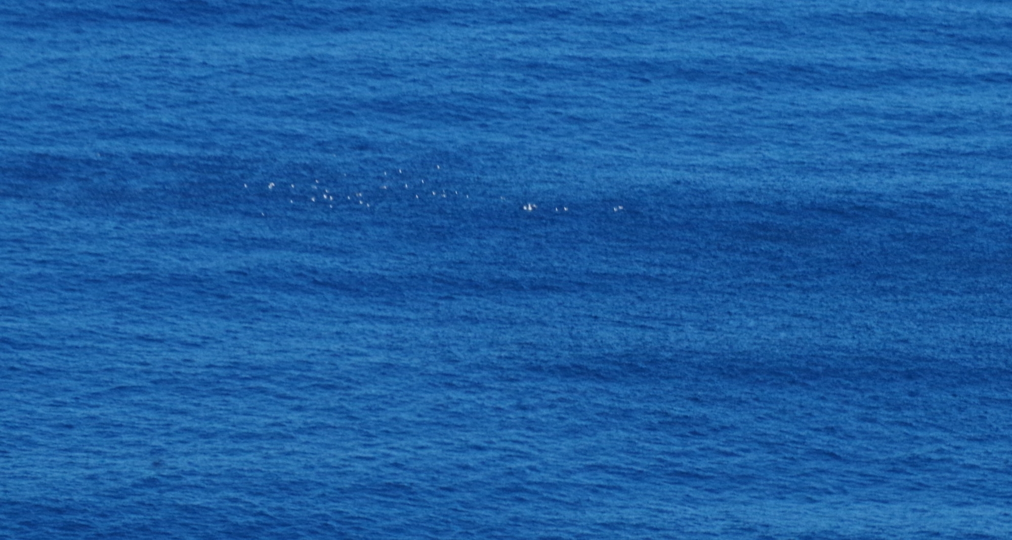
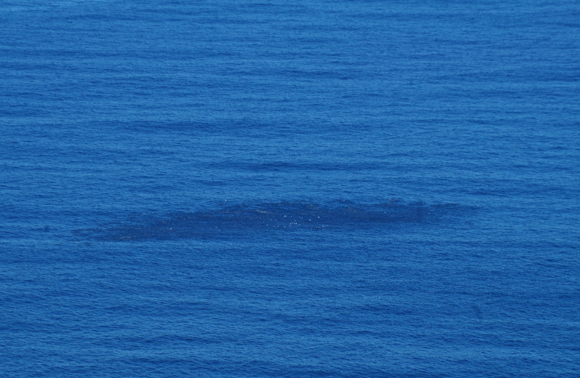
At Otford lookout we could see a school of fish in the sea, with lots of sea birds feasting on them. There must have been a predator like a shark or a seal out there to cause the fish to school like that. After a short break we then headed for our last tunnel, Otford Tunnel, No. 7 and the longest at 1.5km. We decided not to stop for afternoon tea at the Otford Pantry, as that would have used up our time at the next beach. Instead we headed down Beaumont Road almost to Otford Station. The path to the tunnel branches off that track. I was concerned though to see some people heading down to Otford Station instead of following John who was ahead and on the correct path. They said they wanted to use the “bathroom” at the station. Now, no NSW railway stations have showers or baths. Many do have TOILETS, but Otford is not one of them (it does have fresh water taps). If they had told me earlier that they wanted to use a toilet, we could have gone to the Otford Pantry who usually let people use theirs (that’s why you always need to tell the walk leader what you want to do; don’t make assumptions).
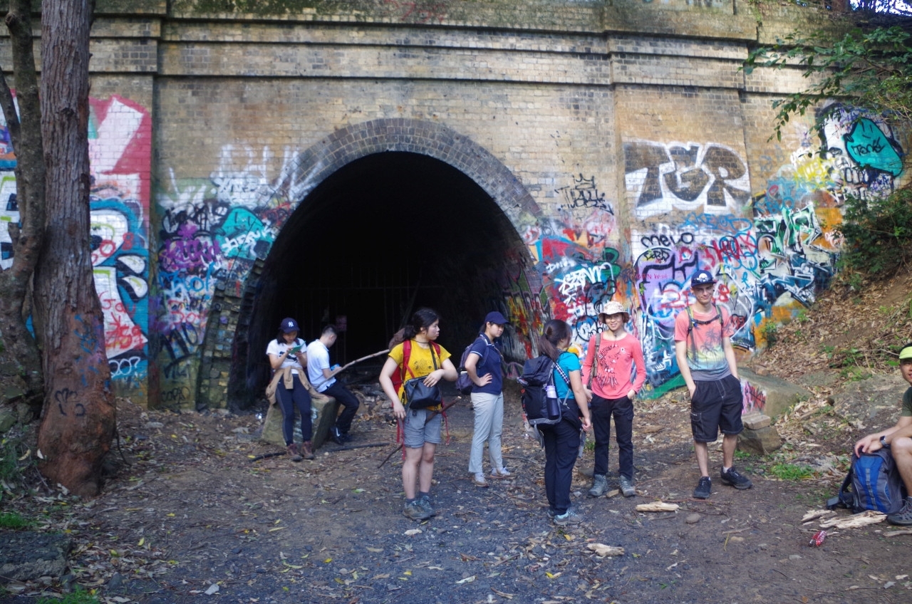
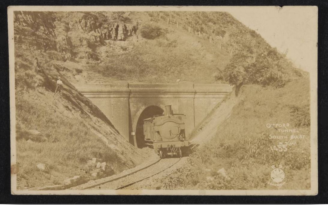
At Otford Tunnel entrance I explained the two reasons why this day was chosen for this walk. This day, 10th October, was the centenary of the closing of this tunnel to trains in 1920. The second reason was that it was my birthday!
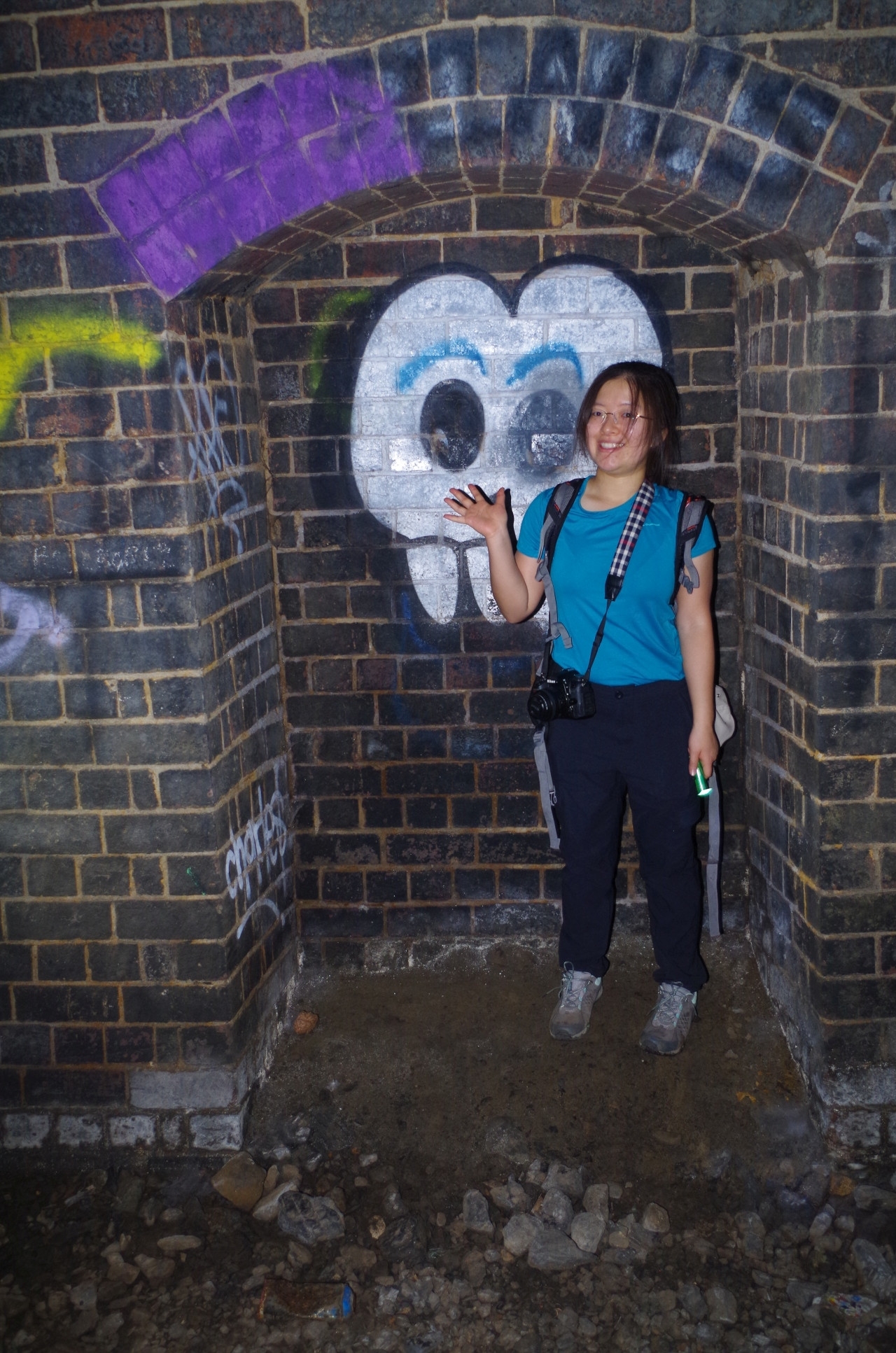
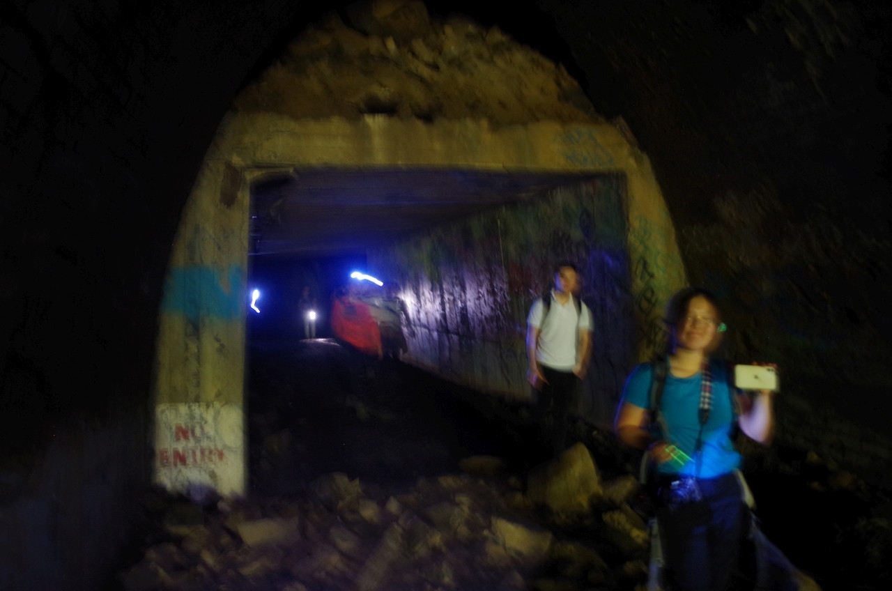
Once inside the tunnel it is completely dark and torches are needed. A curve at the Wollongong end stops light from entering at that end. The tunnel floor is somewhat uneven ad care has to be taken also to avoid some rubbish like cables left behind after the mushroom farm located here in the 1980’s closed down. Having said that, it appears that local people have been busy clearing a lot of junk out of the tunnel, as each time I have gone here, less and less rubbish is seen in the tunnel. What’s more, the sandstone slabs over the centre drain are mostly intact and some looked very clean. For much of the way they provide relatively easy walking. There is some graffiti but that is not really a problem. The walk is downhill on a 1 in 40 gradient, which is a doddle for walkers but tough on the trains which used it going uphill. A 1.5km tunnel on such a grade soon became a significant problem and caused the tunnel to choke up with smoke. That’s why it was abandoned after just 32 years.
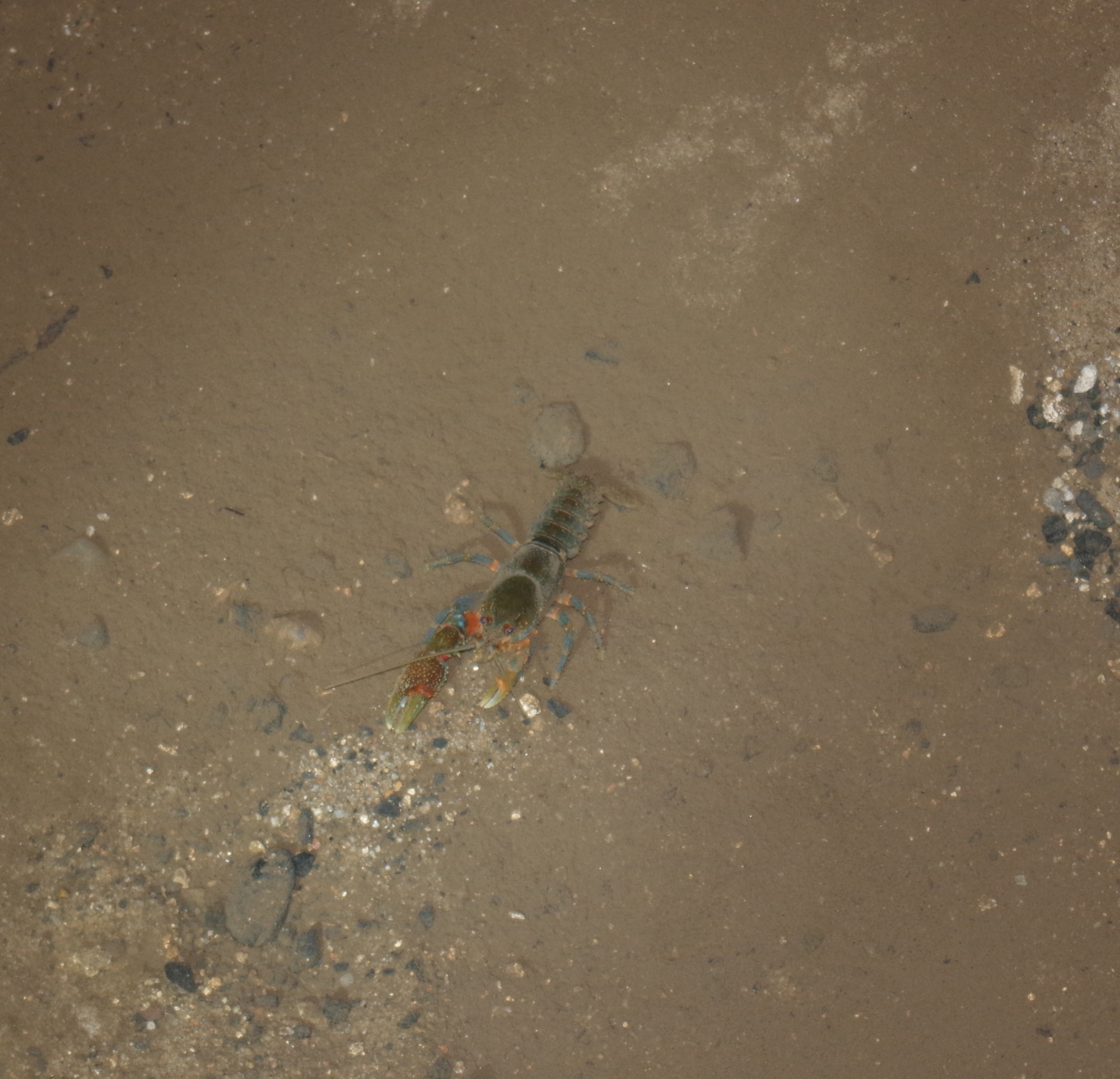
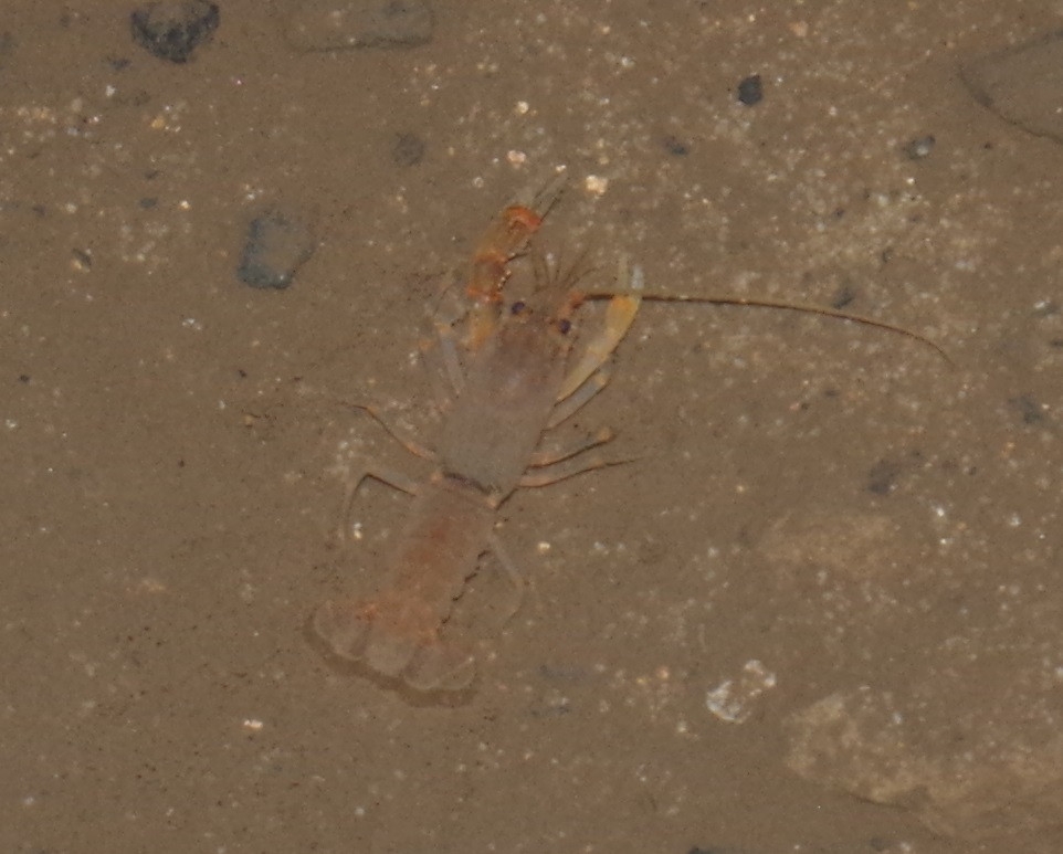
Once again, John’s sharp eyes spotted something very unusual, a pair of Yabbies in the stream running through the tunnel! These crayfish must spend their entire life in near total darkness. (And since someone is bound to ask, no, you can’t eat them! Native creatures you find in the wild should be left alone!).About halfway along there is the rusting hulk of an old tractor used by the mushroom farm, and a bit further along, the shaft to the top of Bald Hill put in place in 1891 to try to clear the smoke from the tunnel (with limited success). There is an old bathtub there too.
After 35 minutes walking we eventually came to the end, which is marked by a concrete square roof which repaired the section of tunnel roof blown down by the army in WW2. This was an “experiment” to see if such a blast would work to close a tunnel. It was not done to stop any Japanese using the tunnel to gain access, despite stories that persist about that. In fact the Japanese never intended to invade Australia; talk of that never got beyond a Japanese Cabinet minute. Still it helped the war effort for the Australian Government to make people think they might invade.
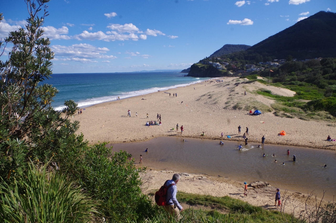
After exiting Otford Tunnel, we headed off down a bush track to a street which led us to a steep track down the cliff to Stanwell Park Beach. There we had a rest for about 25 minutes and a couple of the girls had a paddle in the sea which was reported to be “really cold!”. (The sea along our coast stays quite could right up to January, although La Nina will probably make the sea currents warmer this summer).
Then it was the 20 minute uphill walk to Stanwell Park Station for the Sydney train. The adventure hadn’t stopped yet though; there was another surprise for us! An announcement came over that Sydney trains were being held at Waterfall due to a bushfire crossing the Highway and railway just south of Heathcote. Delays could be extensive. So we got the train and everyone bailed out at Waterfall. Replacement buses to Sutherland had been organised there and so everyone simply made their own way home from there. The delay added 1 hour to the trip back to Sydney. Anyway despite this everyone seemed to have a good time and the weather was really good; no rain and not too hot.
Speaking of La Nina, this will likely mean more rain this summer season so I recommend going on walks (or organising them) if the forecast looks good, as there might be some wet weekends coming up over the summer months which might curtail some trips.
Link to my photos of the walk. The last photo shows why the last of these 1888 original tunnels, No 8, the 1km Clifton Tunnel, can’t be walked through. It still has trains!