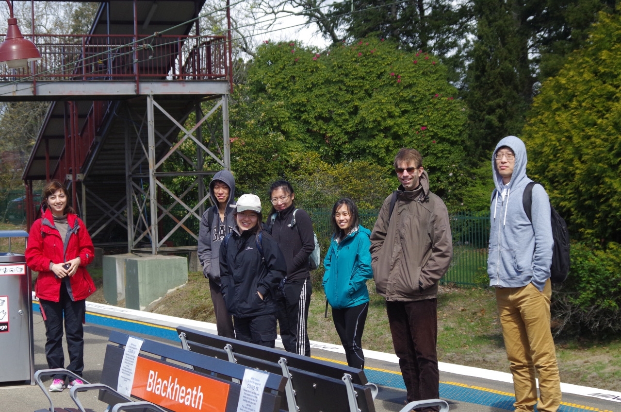
Date: 26/9/2020
Trip leader: Bruce Stafford
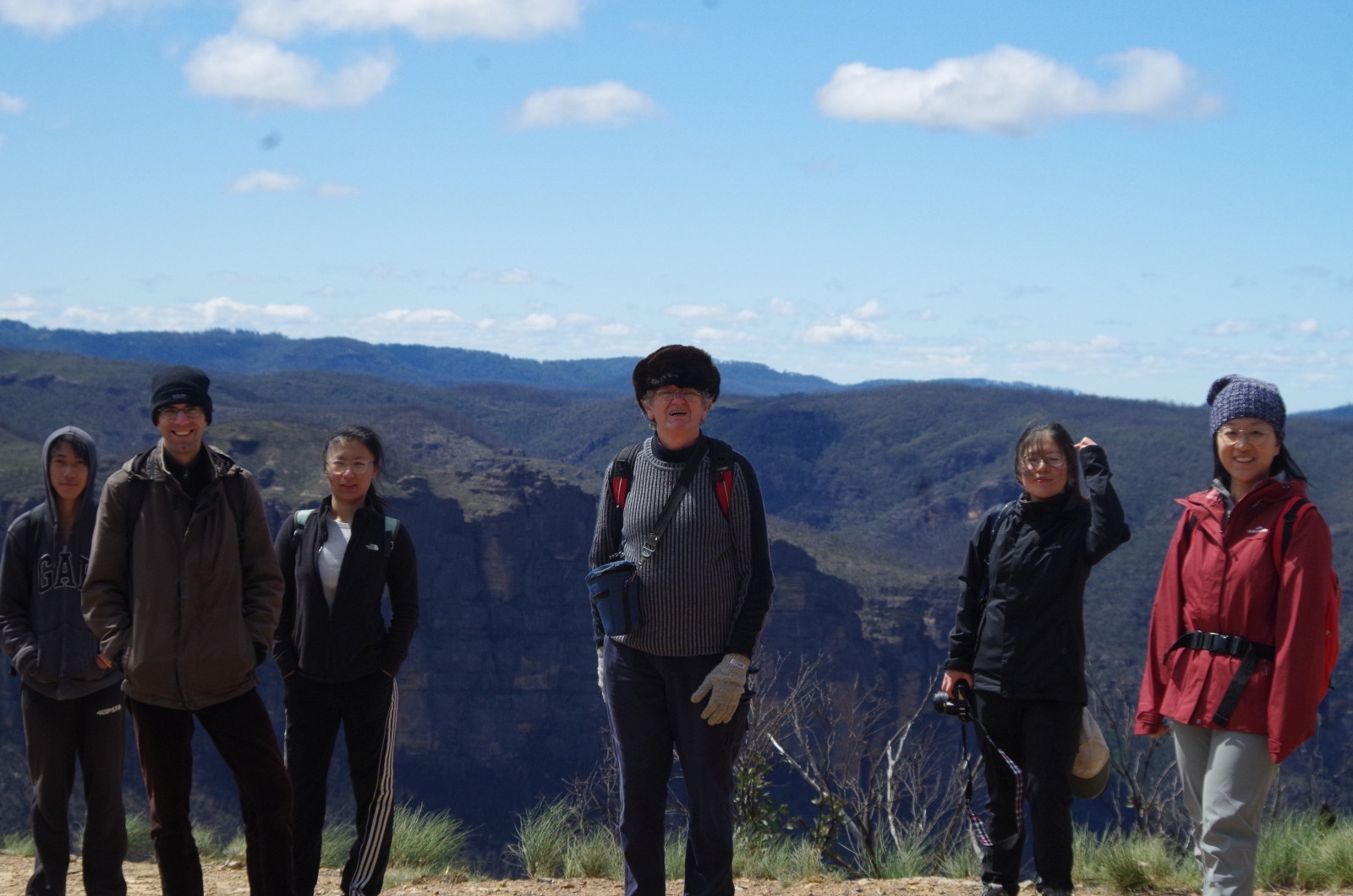
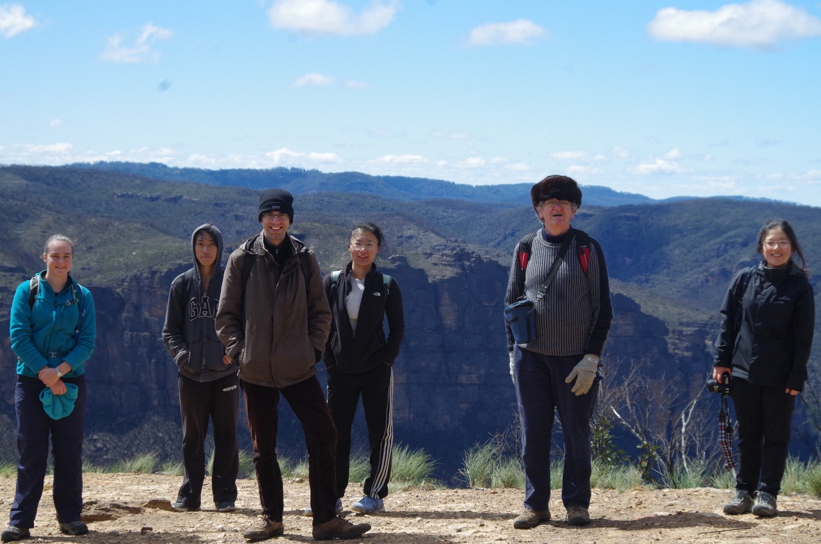
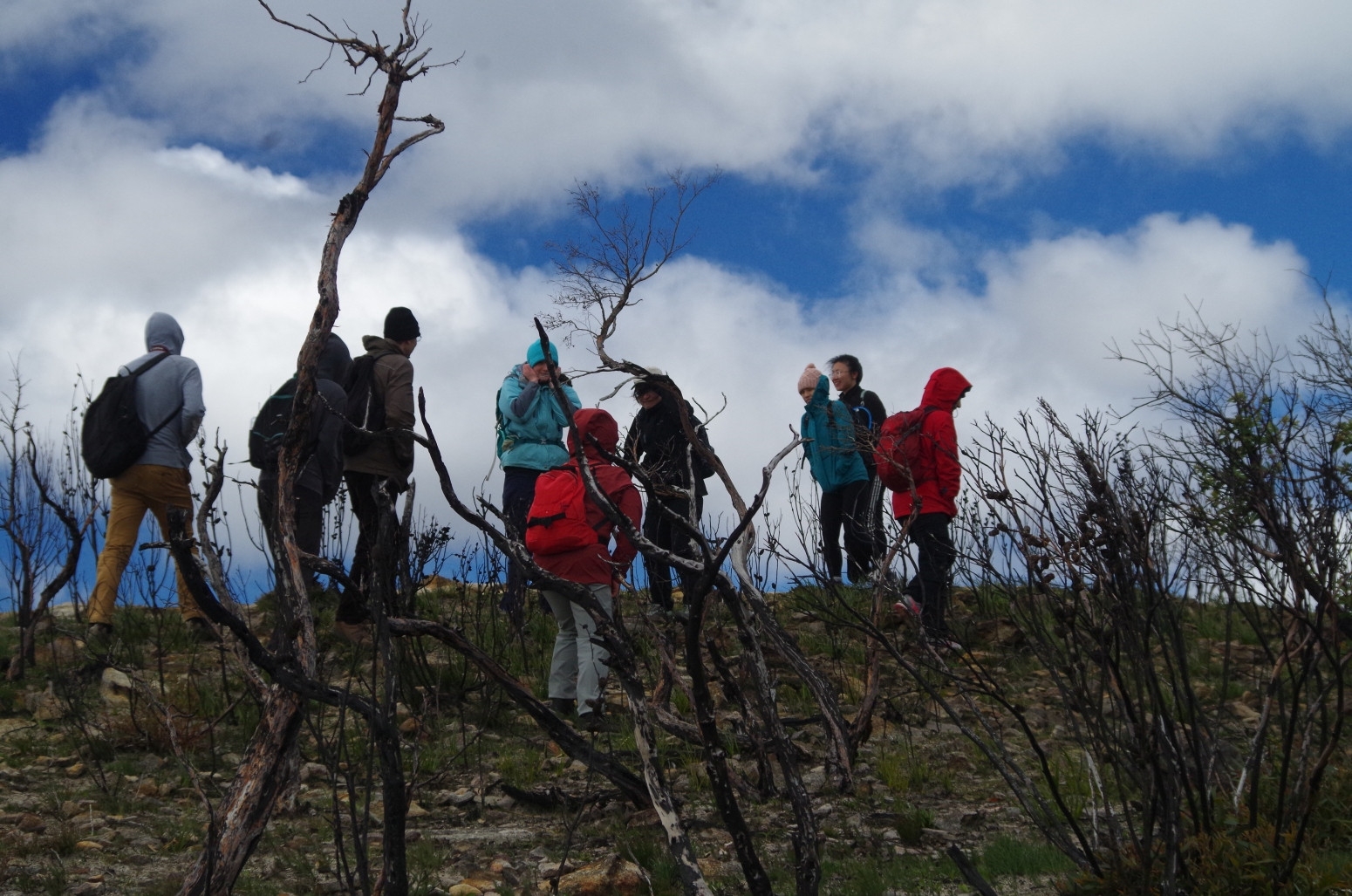
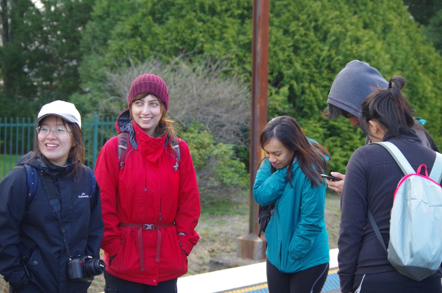
Party: Bruce, André, Barbara, Kelly, Kip, Niku, Rachel, Ruiqi(Rickie), Siyan, Wentao
Photos: by Bruce
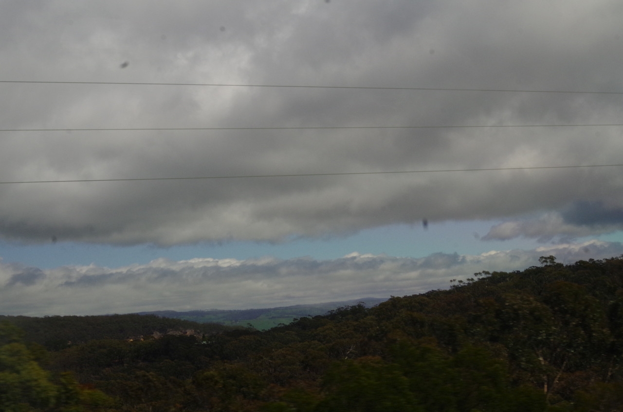
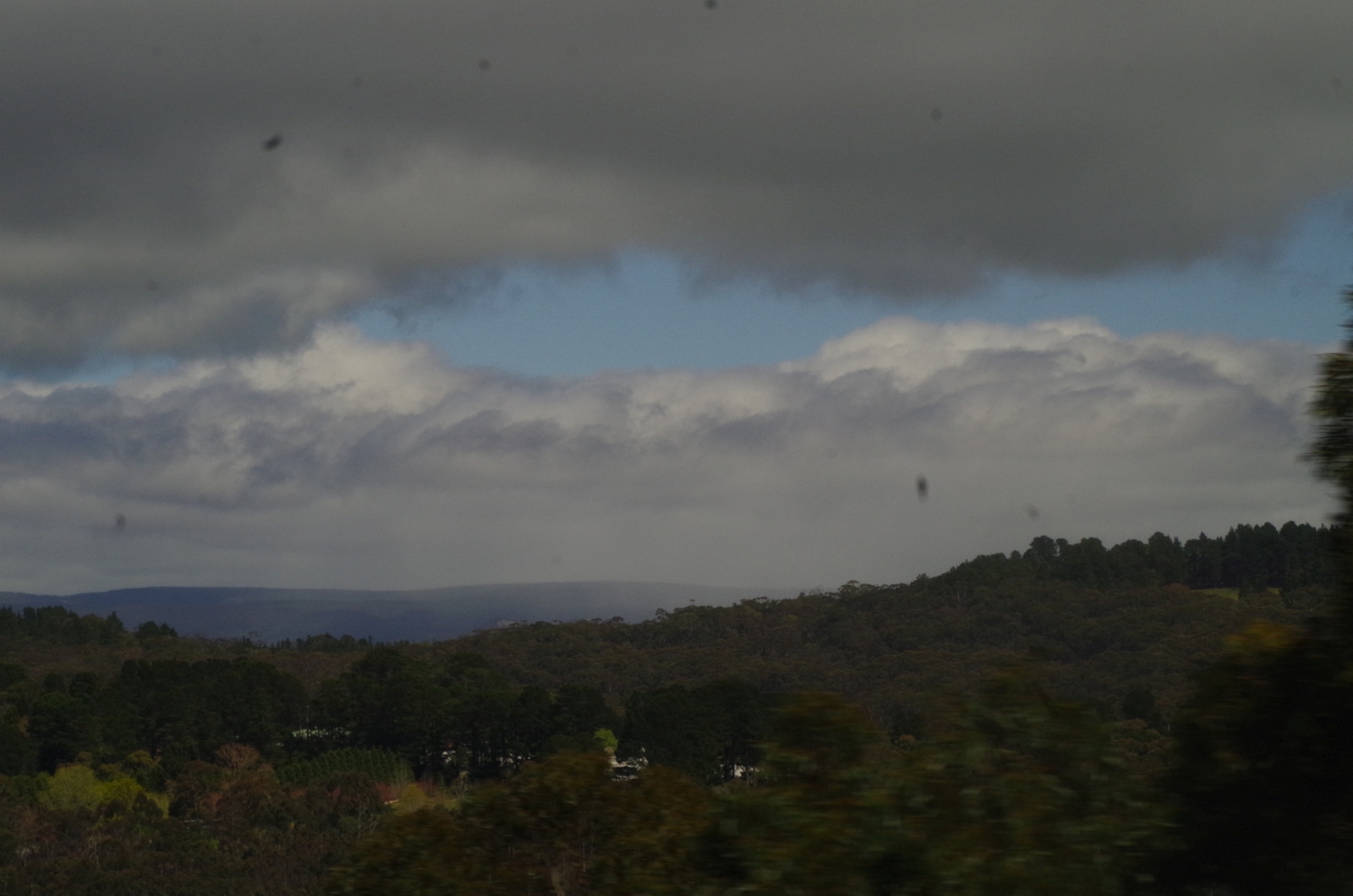
We got on the train at various places (or in Barbara’s case drove up) and met up at Blackheath Station. All the way until Katoomba we were in sunny weather, but once past Katoomba it became cloudy, and near Medlow Bath the view showed that there was snow falling near Hampton on the Jenolan Caves Road, and around Kanangra-Boyd and The Oldies Ranges (where the 3 Peaks are).
At Blackheath it was dry but the temperature was 3 degrees and very windy. First stop was at the toilets in the town centre which has hot water for washing hands! Then back to the Highway to walk the 1km north to Ridgewell Road, which leads to the start of the fire trail to Baltzer Lookout. Just 1 km further along this road there is a barrier to stop cars going any further (much closer to the highway than described on Wildwalks but I expected that). This is where Blue Mountains Council Reserve land starts. Several cars parked there indicated that we would likely find other people along the way. Another 1.5km brings us to another barrier marking the boundary of Blue Mountains National Park. Just before that point, a local was walking 3 dogs which were not on a leash (illegal in Blue Mountains Council reserves). I wonder if he saw the sign on the barrier warning that 1080 bait for wild dogs and foxes had been laid in the area! (I didn’t see any dog footpad tracks beyond the barrier).

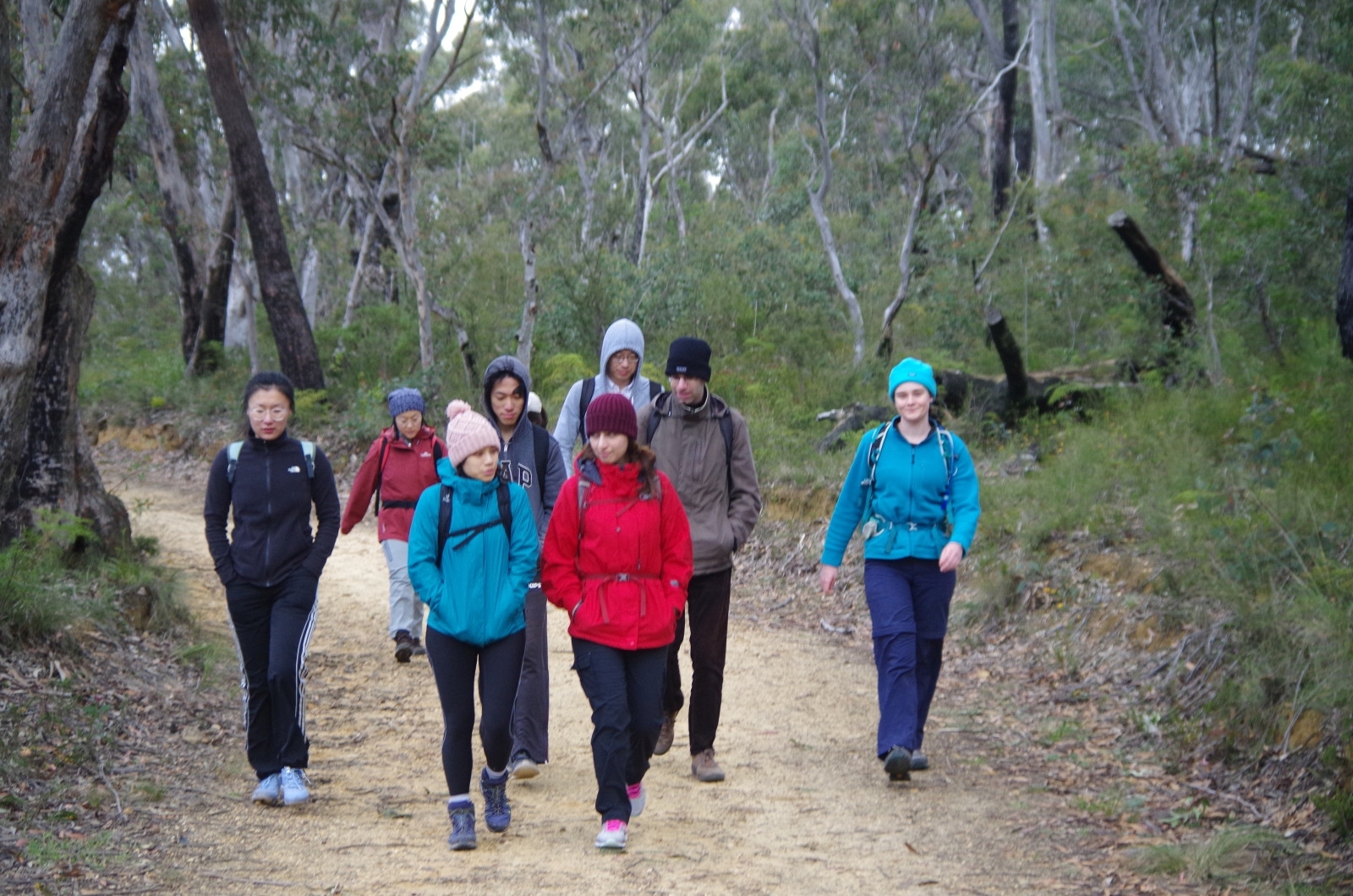
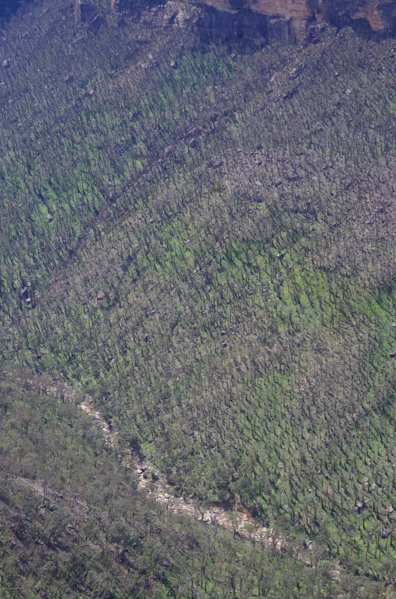
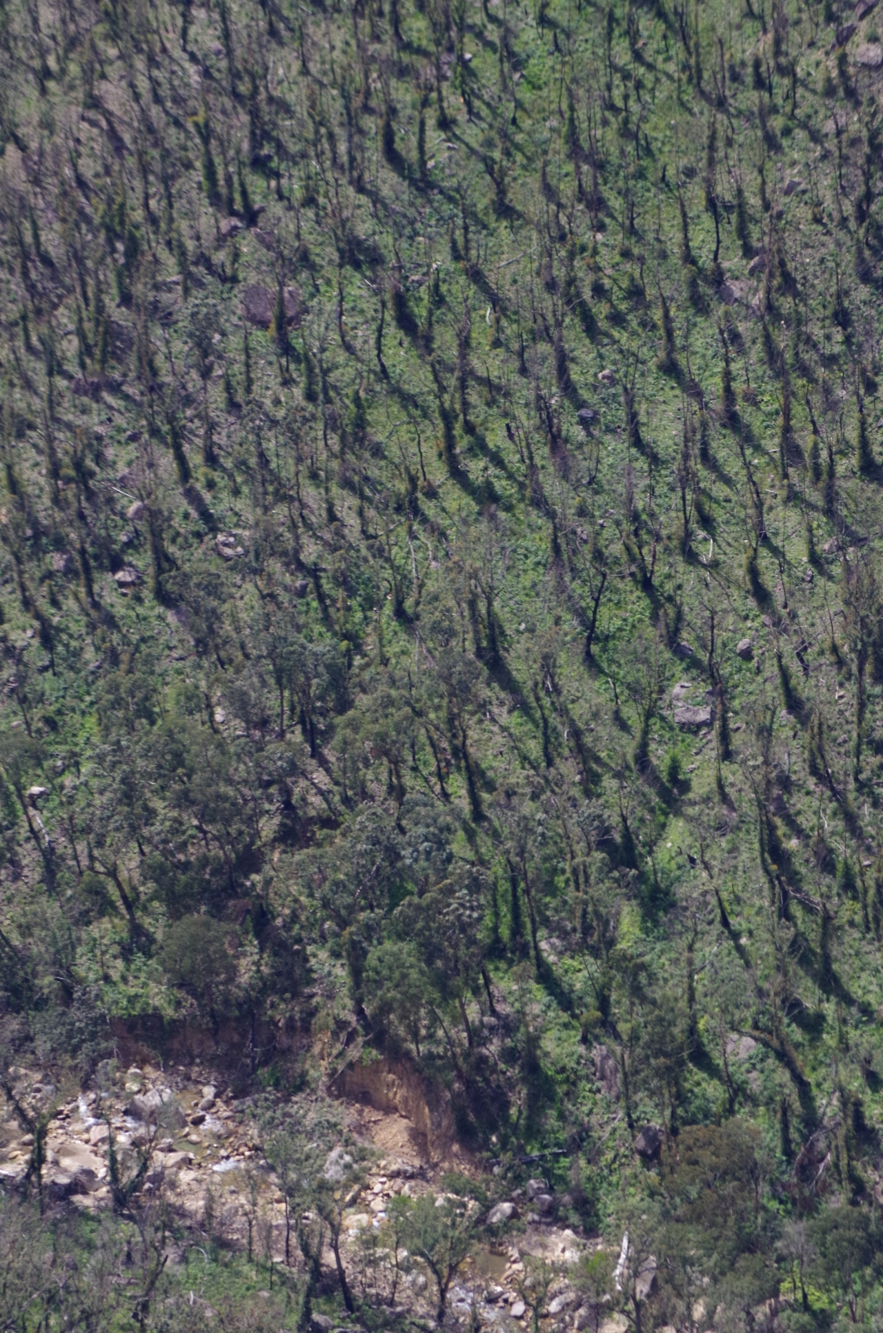
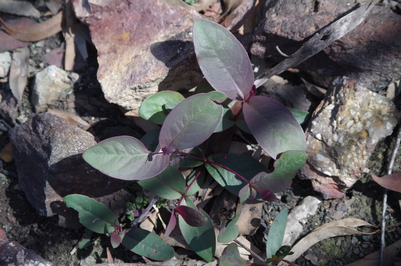
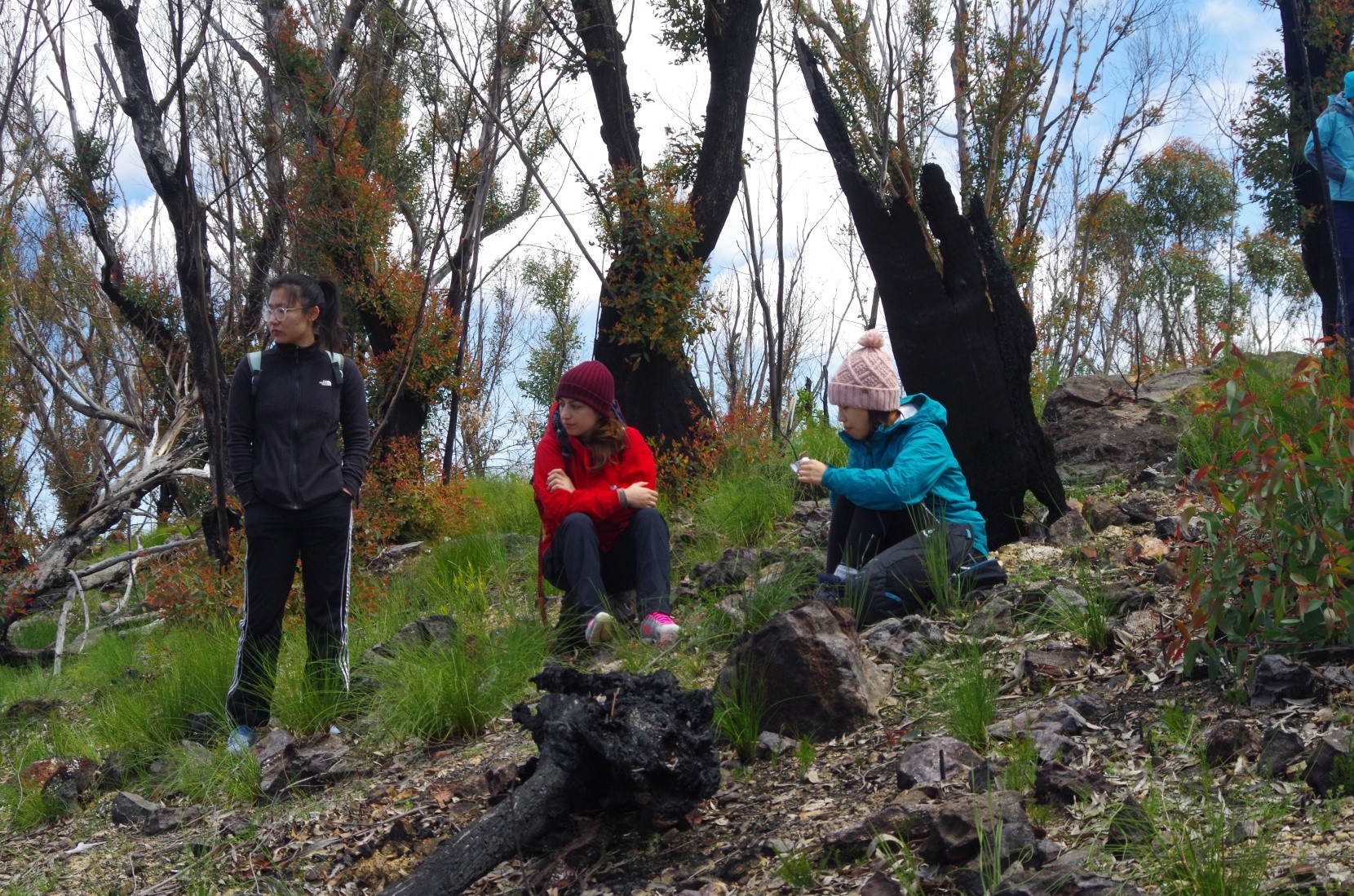
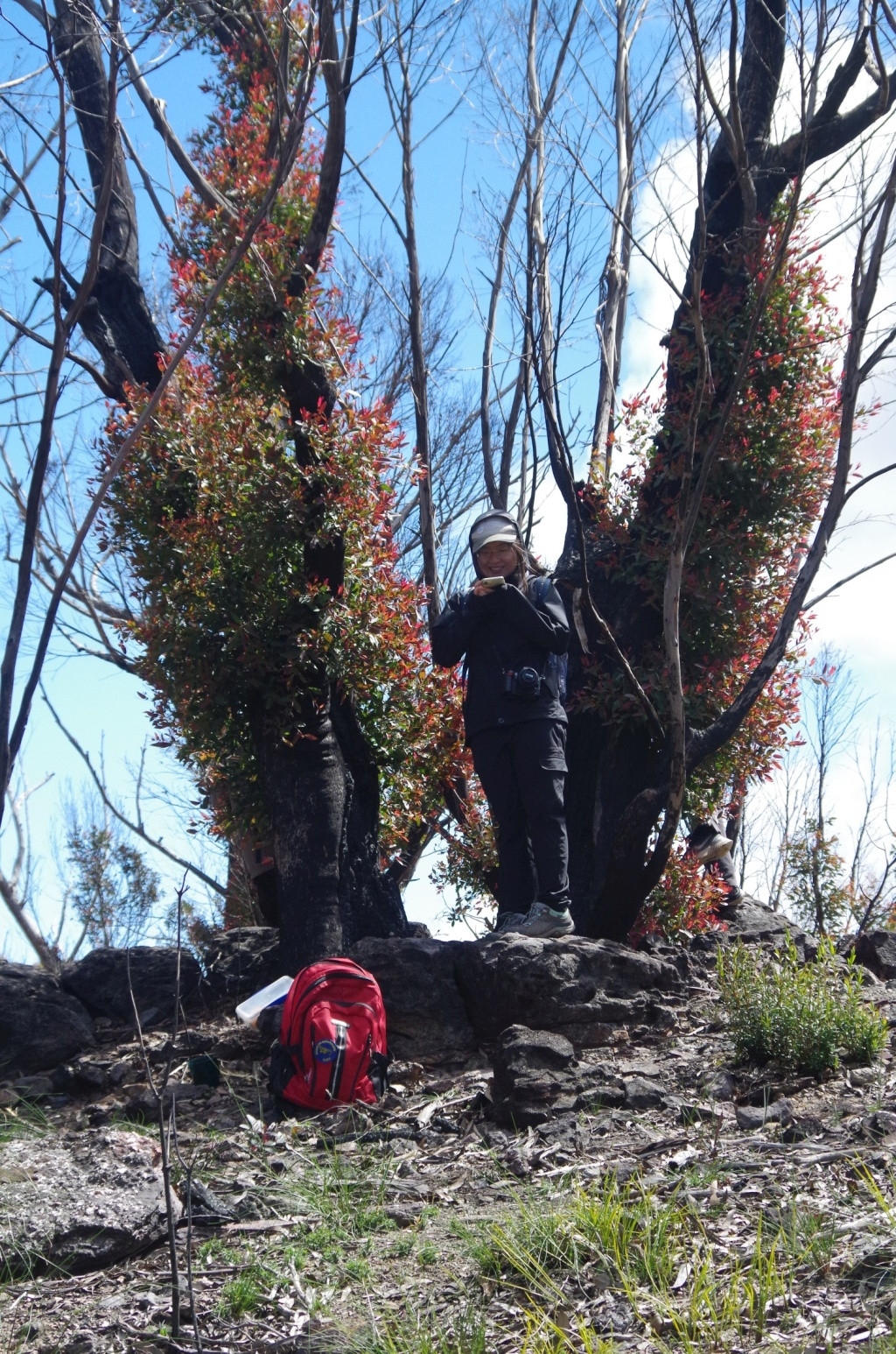
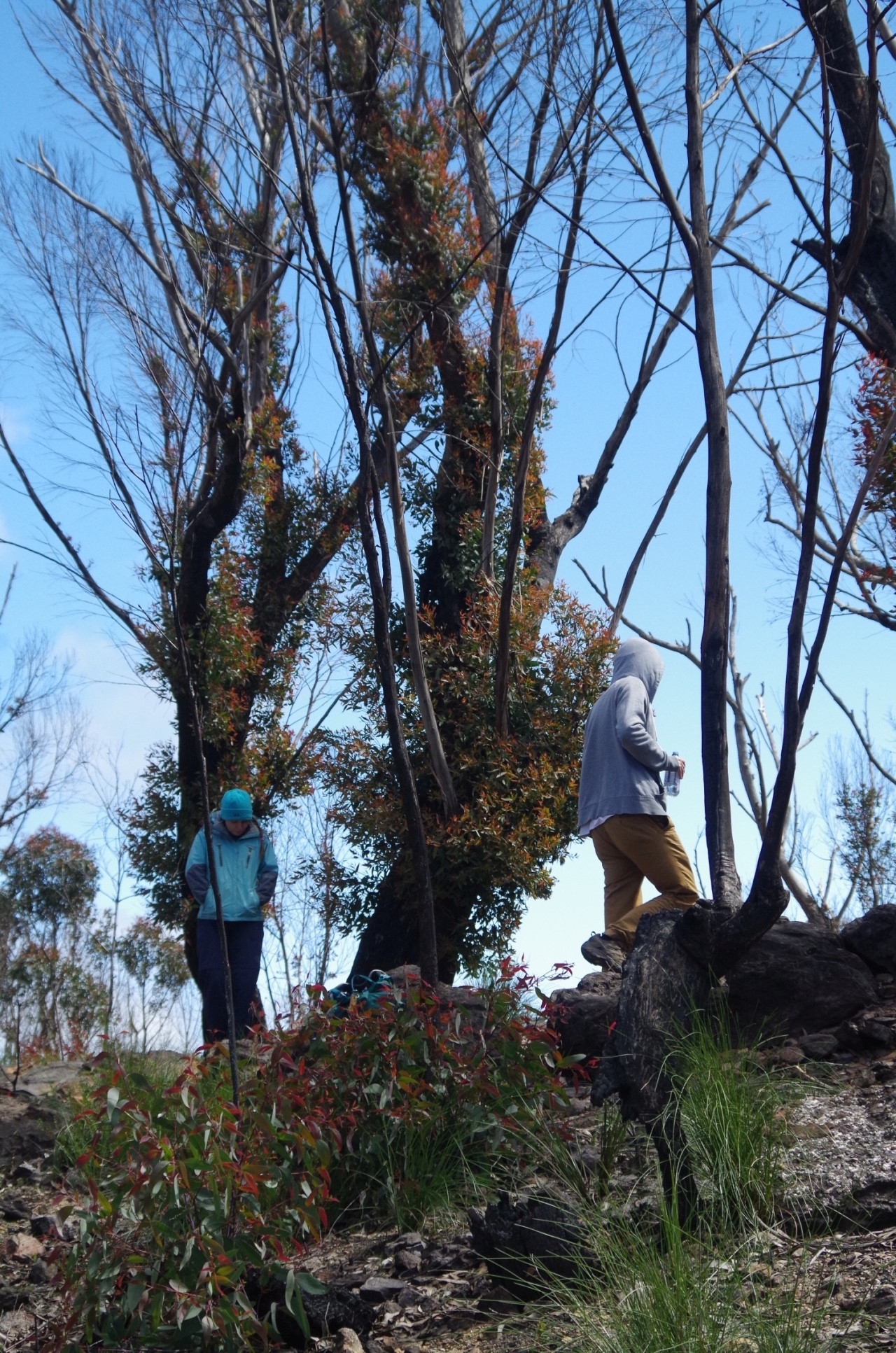
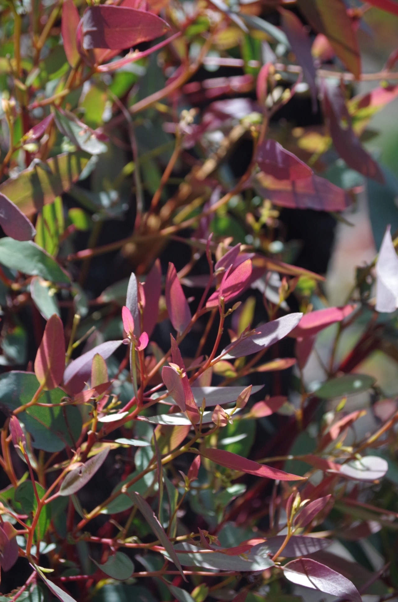
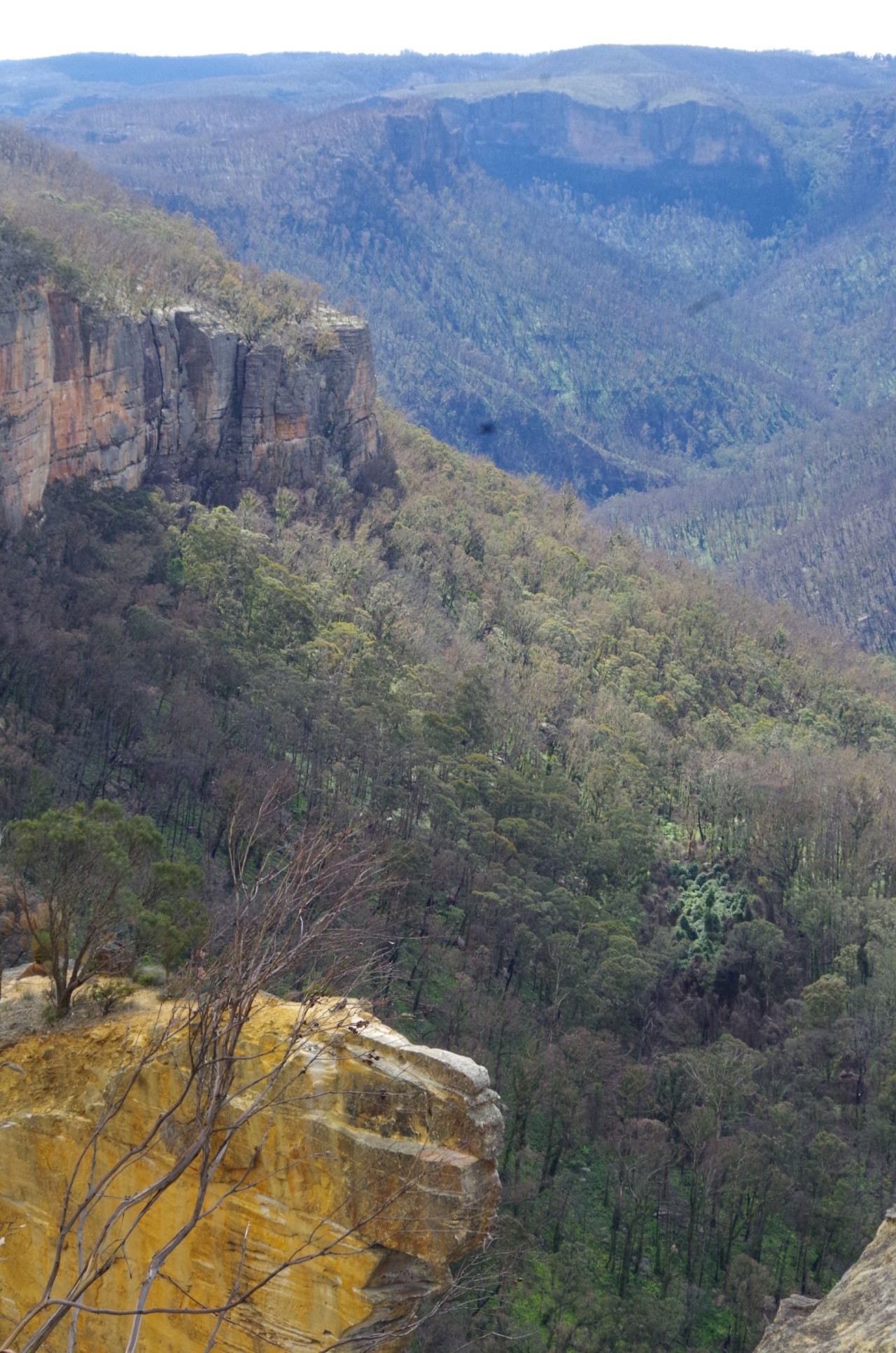
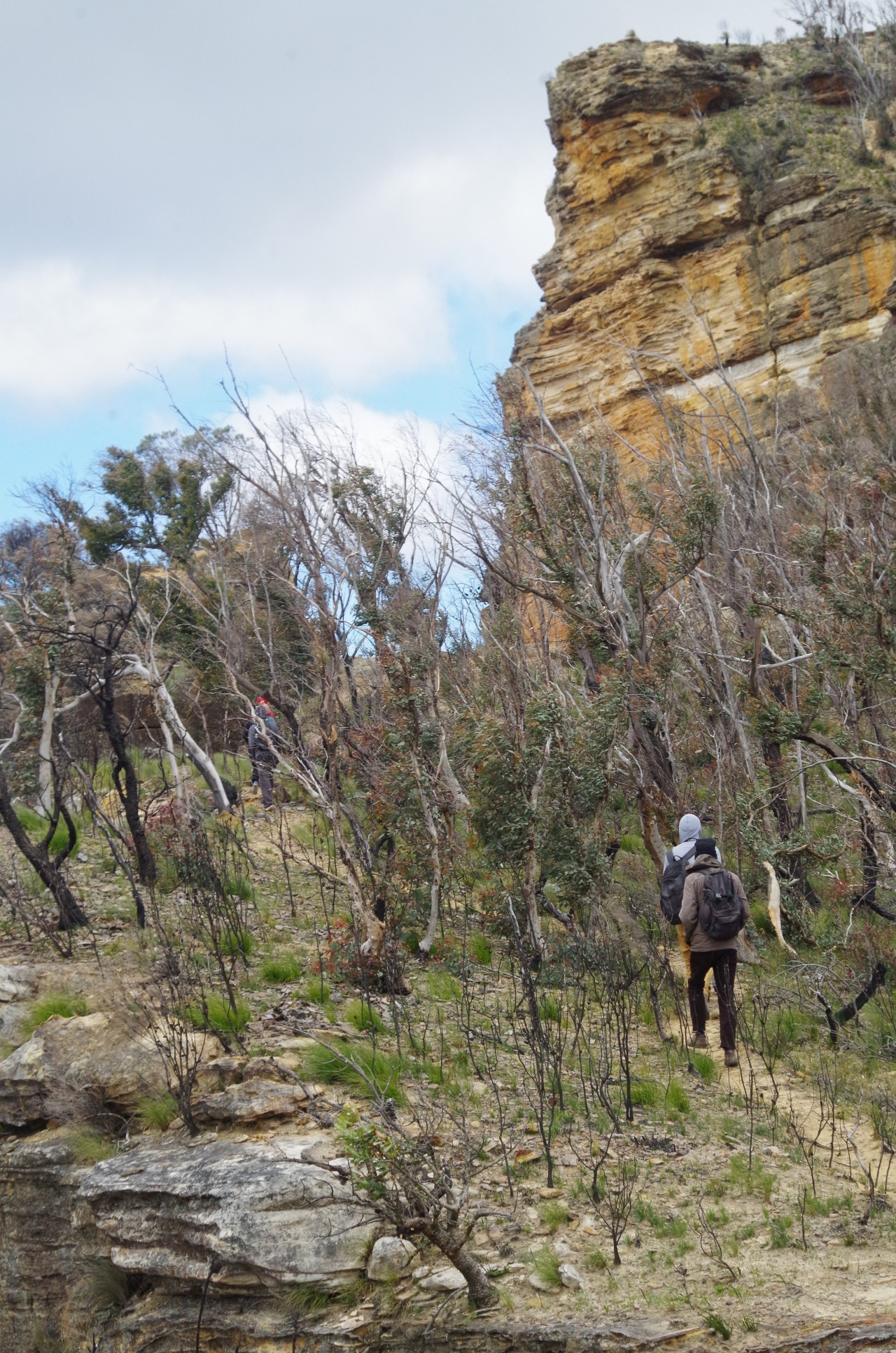
We got a few spots of rain very briefly along this section, but it lasted only about 5 minutes, then none for the rest of the walk. Along this section the gradient had been very easy (as expected on a fire trail) and stayed that way almost all the way to Baltzer Lookout. There is a slight saddle along the way but no really taxing grades. We started from 1070 metres elevation at the Highway and it’s just under 1000 metres at the lookout, so it drops a net 80 metres over 4.5km. The bush along the whole way had been thoroughly burnt in the January bushfires and there was a lot of regrowth from epicormic and lignotuber shoots (some examples can be seen in the photos). The fire also made it easier to see the distance views over the Grose Valley some distance before we reached the lookout. This is a good track for mountain bikers and we saw several, although a couple came up on us and passed close without giving a warning bell or horn. Some other trip descriptions on the Internet describe the fire trail section as “boring”, yet the vegetation is interesting and at present gives better than usual views – at least until the trees’ regrowth is completed. That will take another year.

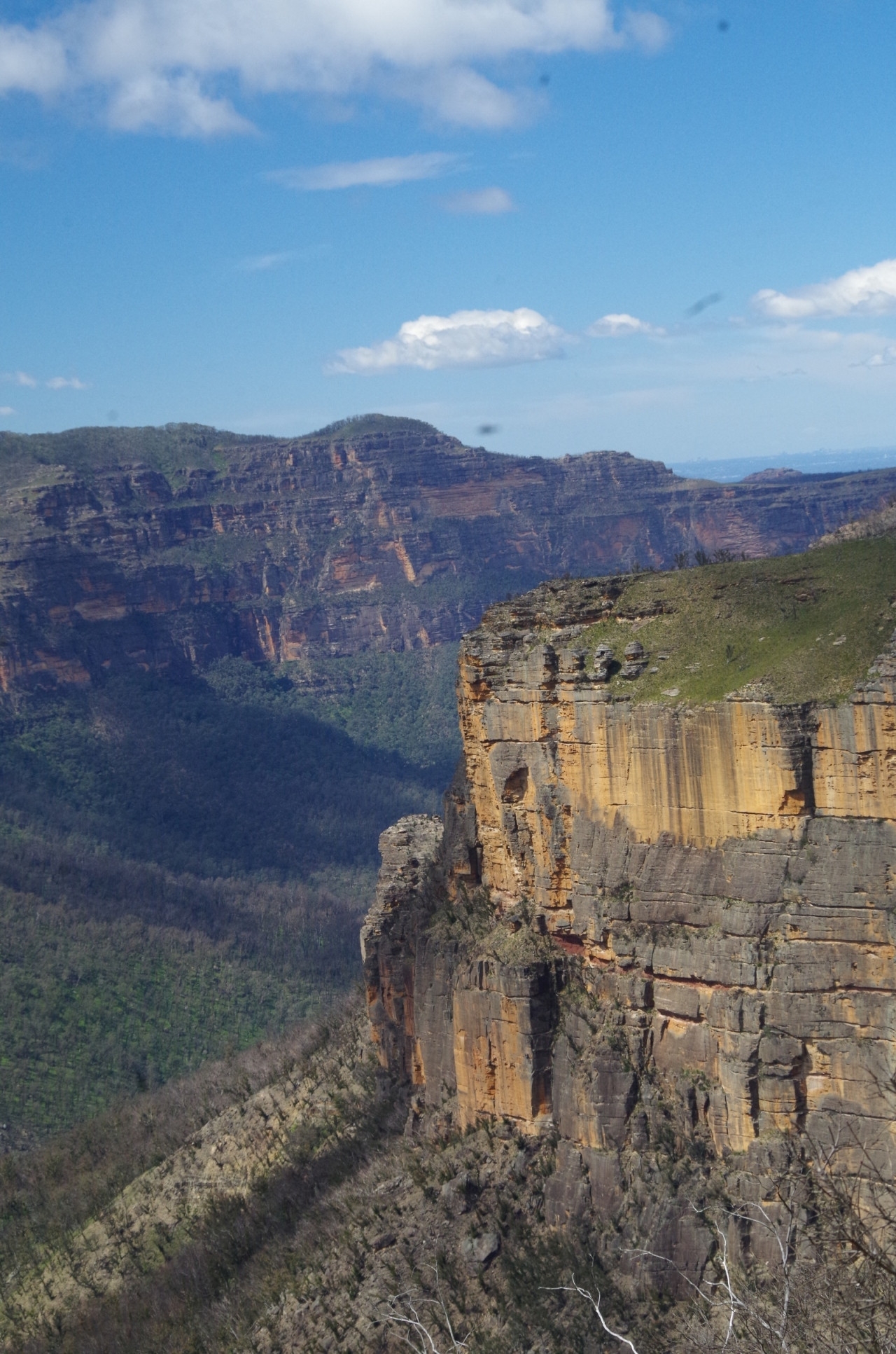
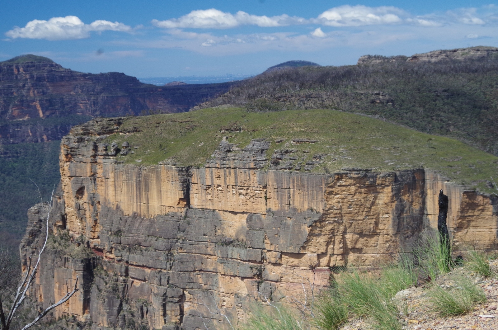
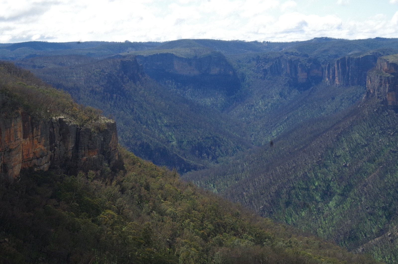
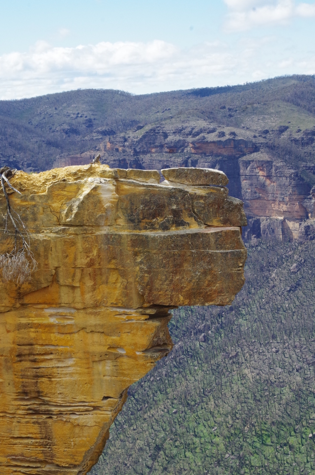
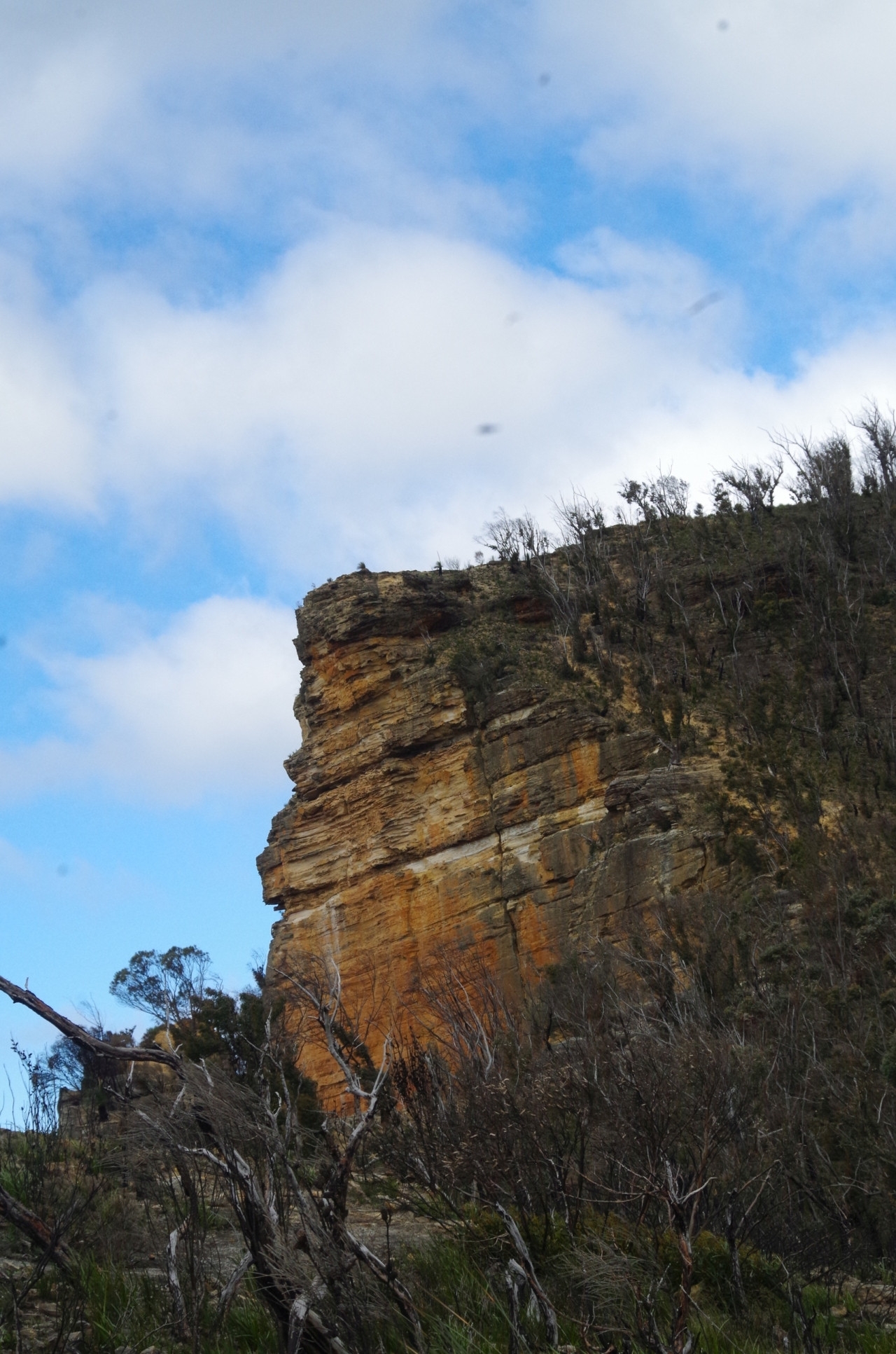
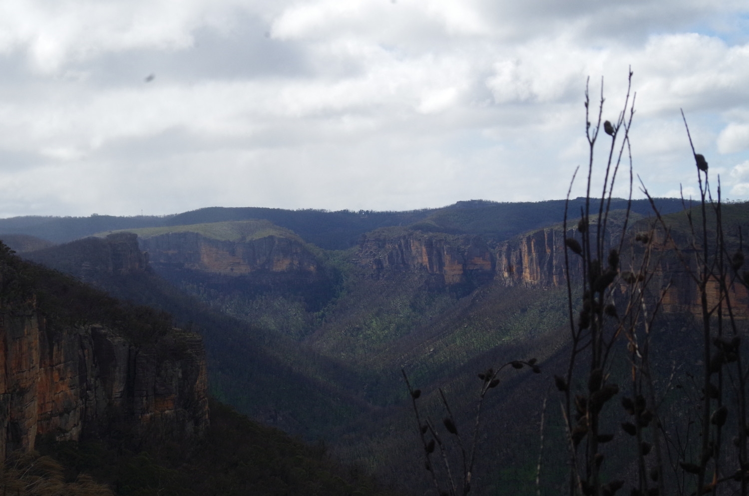
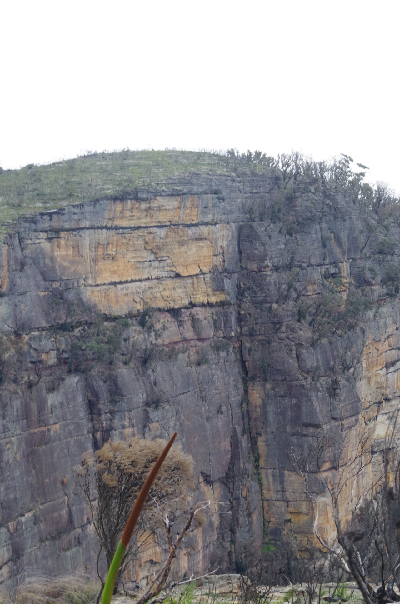
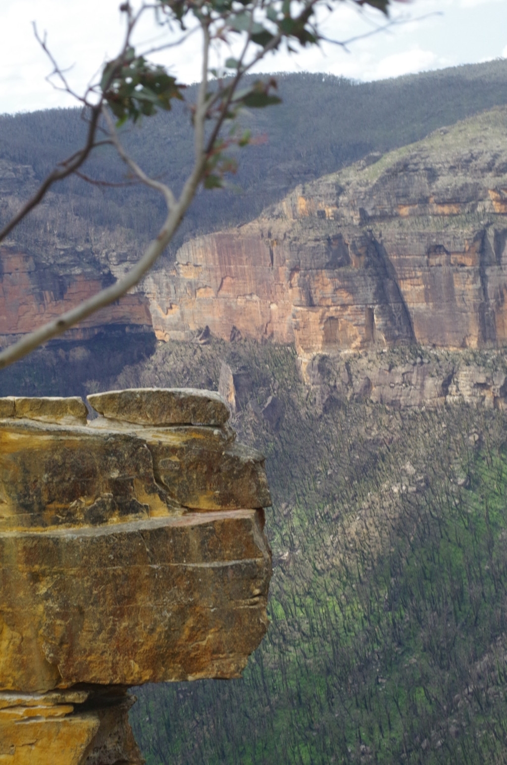
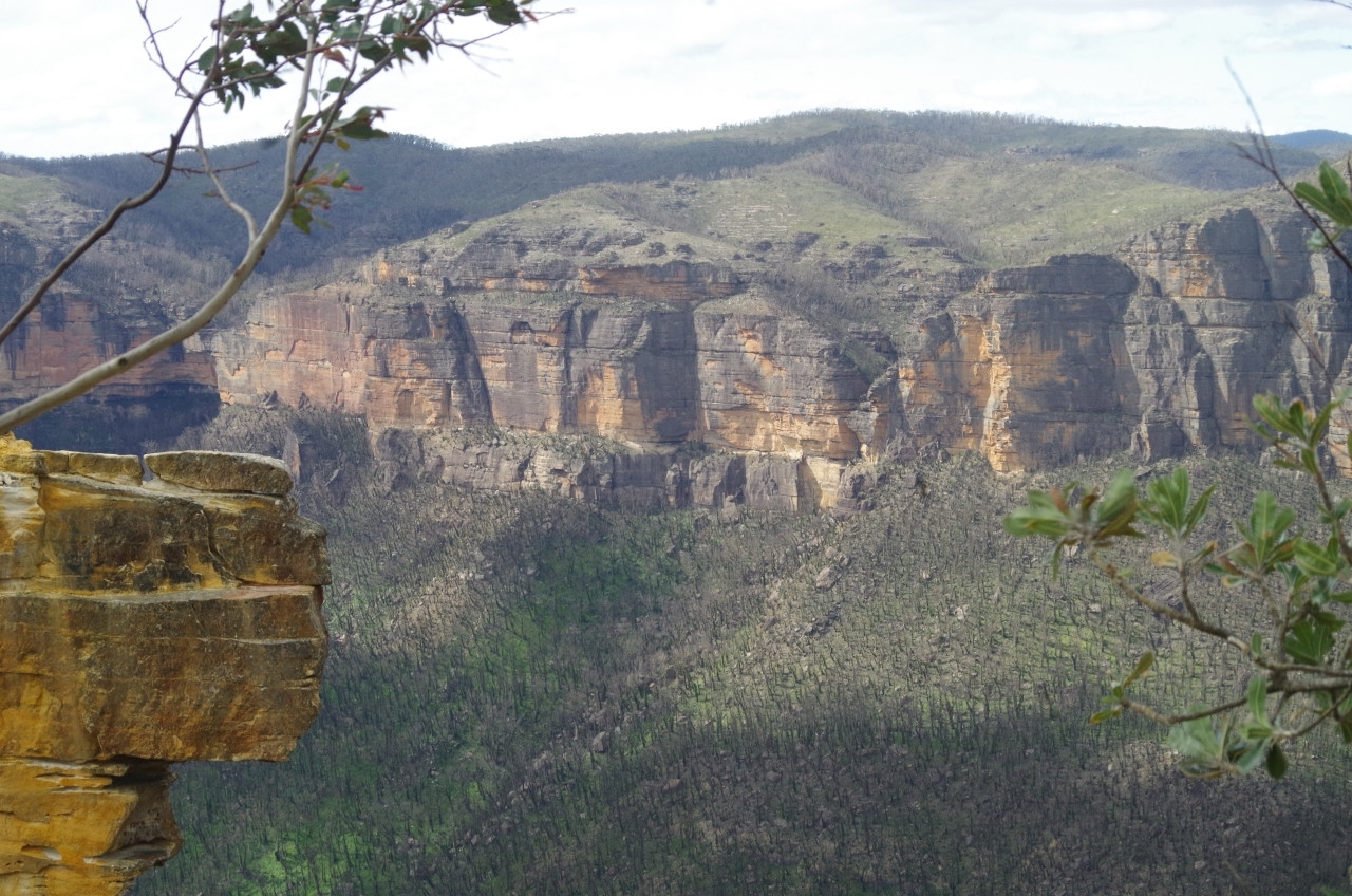
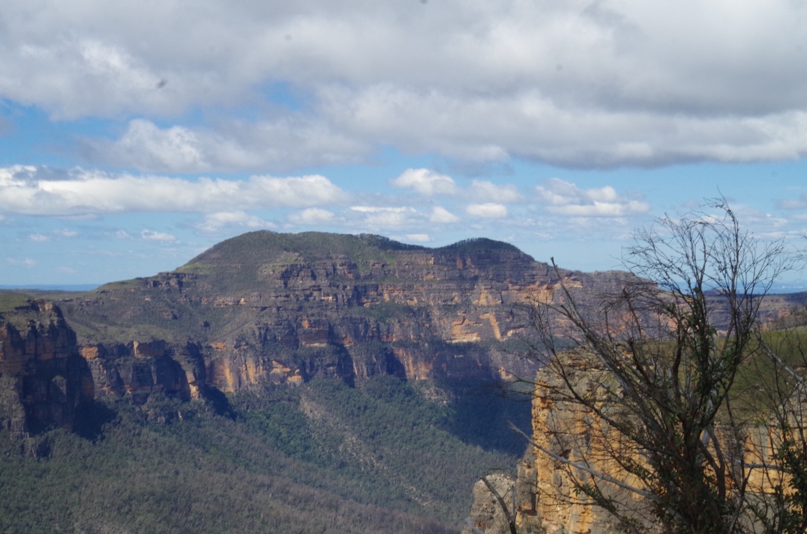
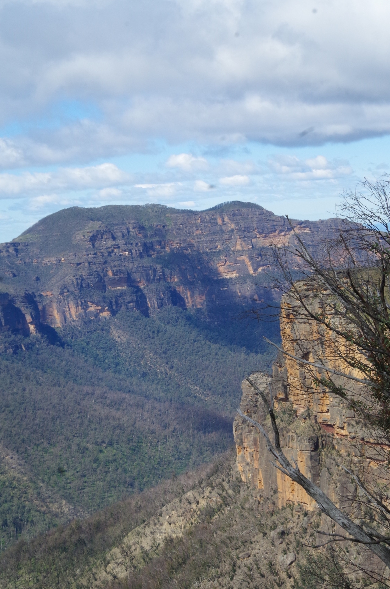
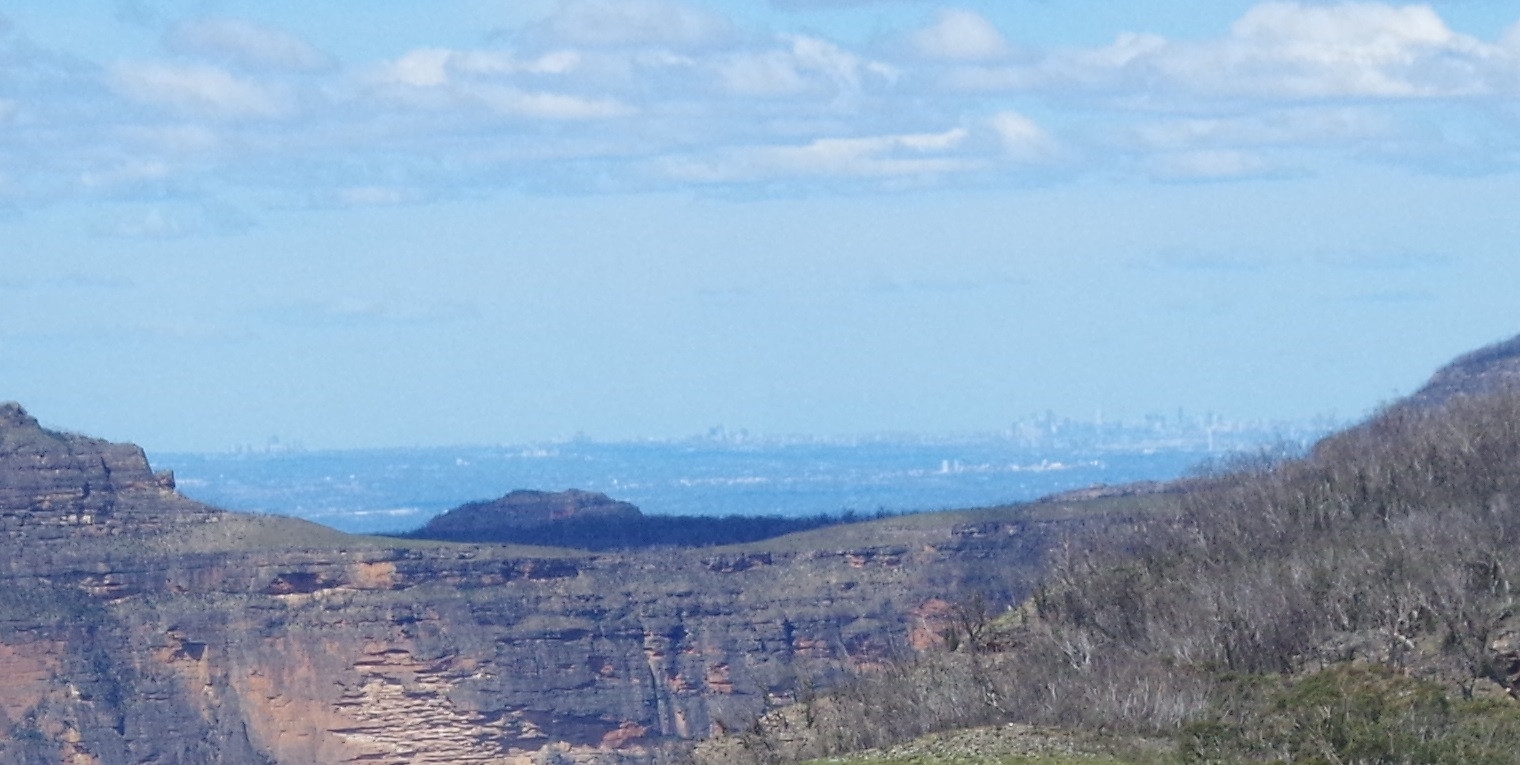
On reaching the lookout we had a look around and took in the fantastic view over the Grose Valley from its head near Bell further along to under Mt Banks on the other side (It’s also possible to see Sydney CBD buildings in the far distance – I didn’t notice that until enlarging some of my photos).
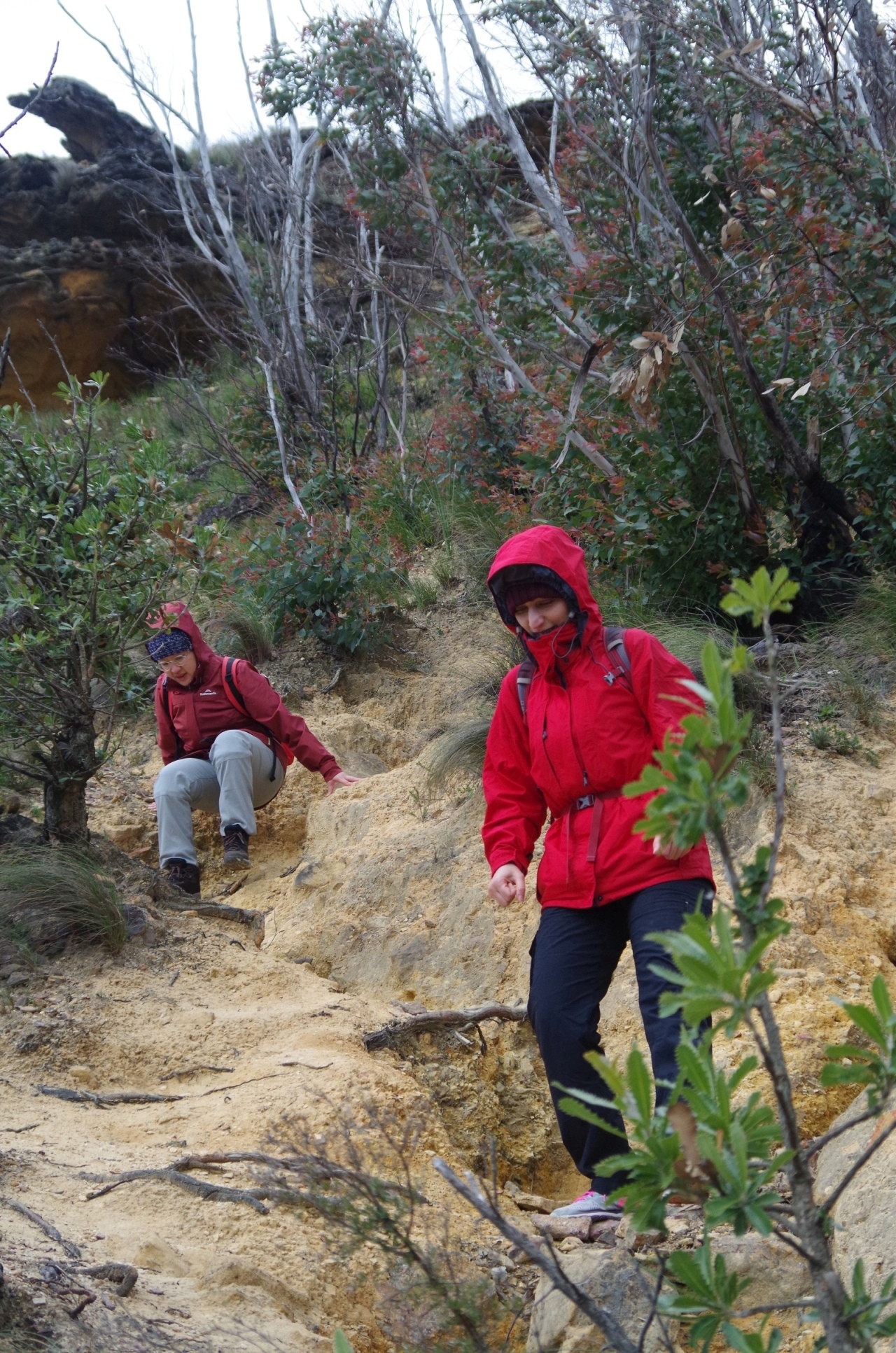
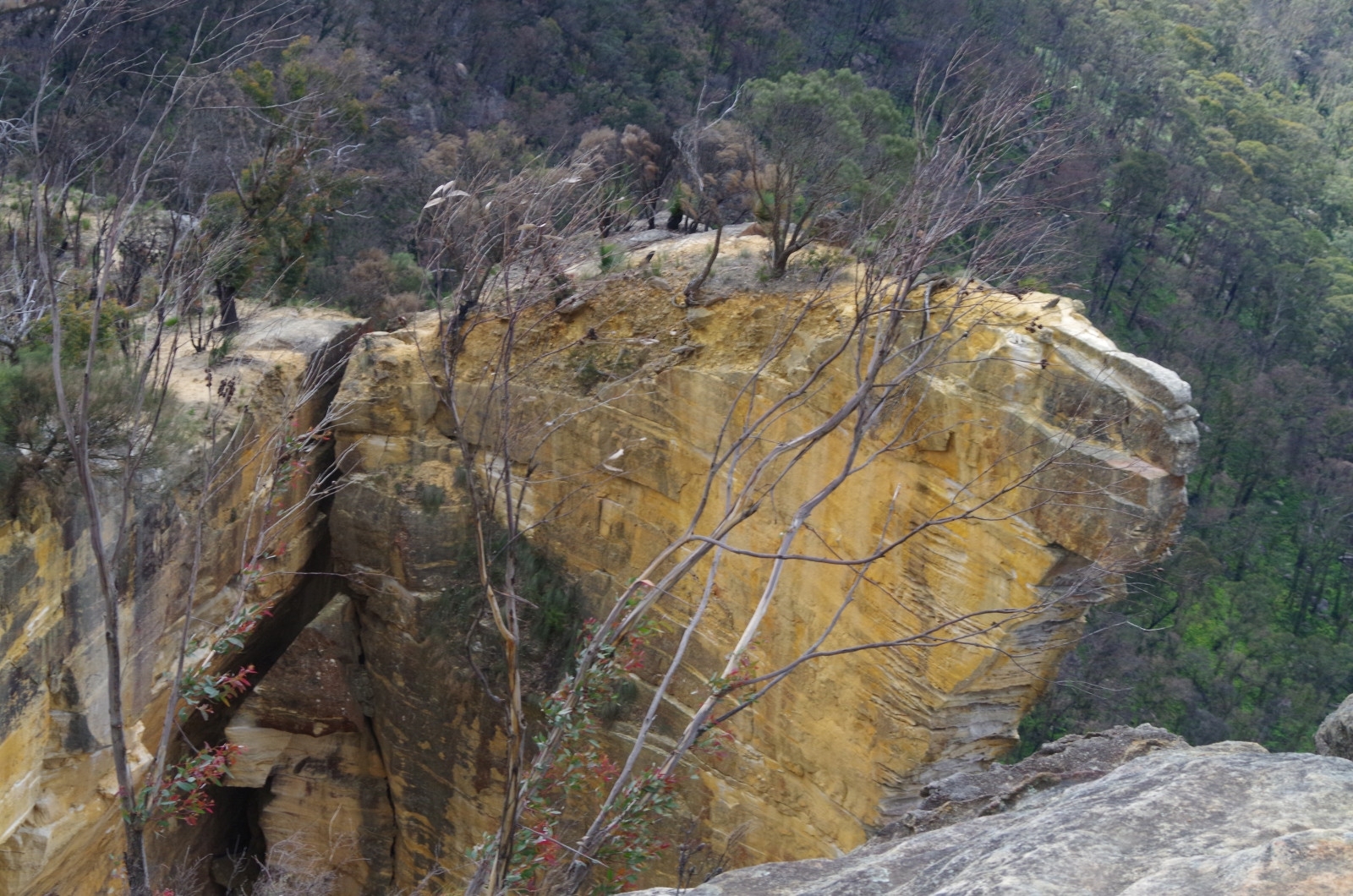
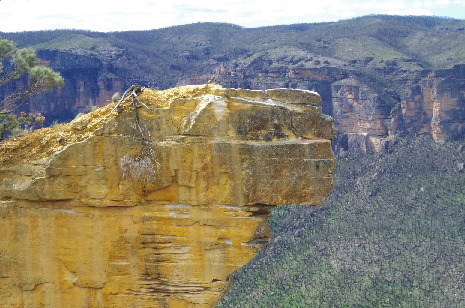
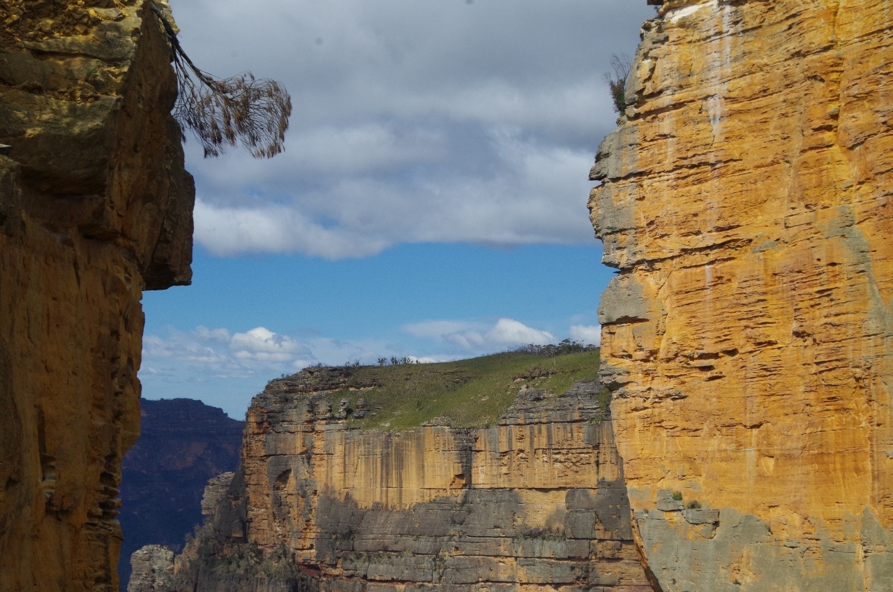
Before exploring further we had lunch, sheltering from the strong wind behind a burnt tree. Then it was time to do an exploration. From Baltzer lookout the track drops down very steeply to Hanging Rock, and the track is unnervingly close to the cliff edge. Actually there is also a second parallel track which is rougher but a safer 3-4 metres further away from the cliff edge. We were continually buffeted by strong winds which made it even more important to be careful near the cliff edge.

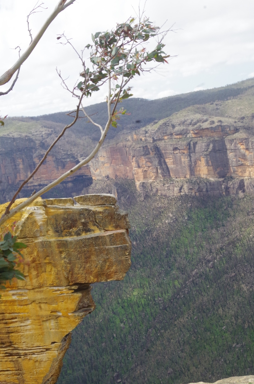
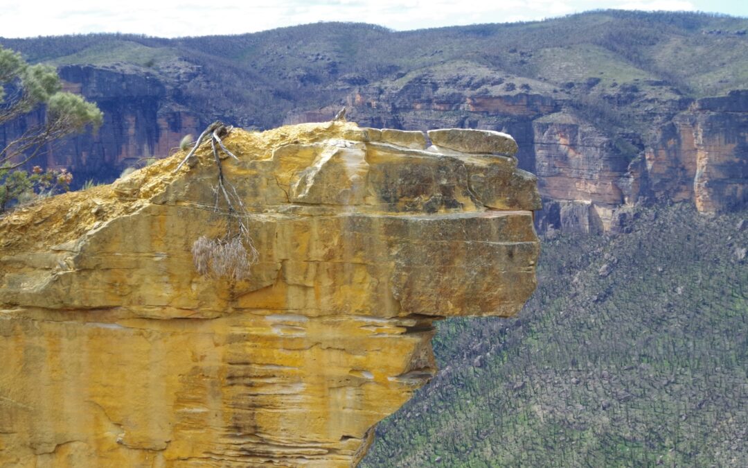
Hanging Rock itself is separated from the cliff face by a fissure which might tempt some people to jump across, but it is deceptively wide, and also the “step” on the other side has loose rock and its a long long way down if you slip. The very strong winds we had made it even more risky to try, and no one did. There were some other small groups there as well and none of them tried, either. Past Hanging Rock the track continues for a bit longer until reaching a low hill overlooking Grose Valley, which is actually Burramoko Head. Walking a further 1km along would have taken us to Burra Korain Head, but from there, there is no formed track and it’s very hard (needing to cross Crayfish Creek), and we were also being hit by 50km/hour winds, so decided to return to Baltzer Lookout. It would be worth another exploratory walk in more calmer and warmer weather).
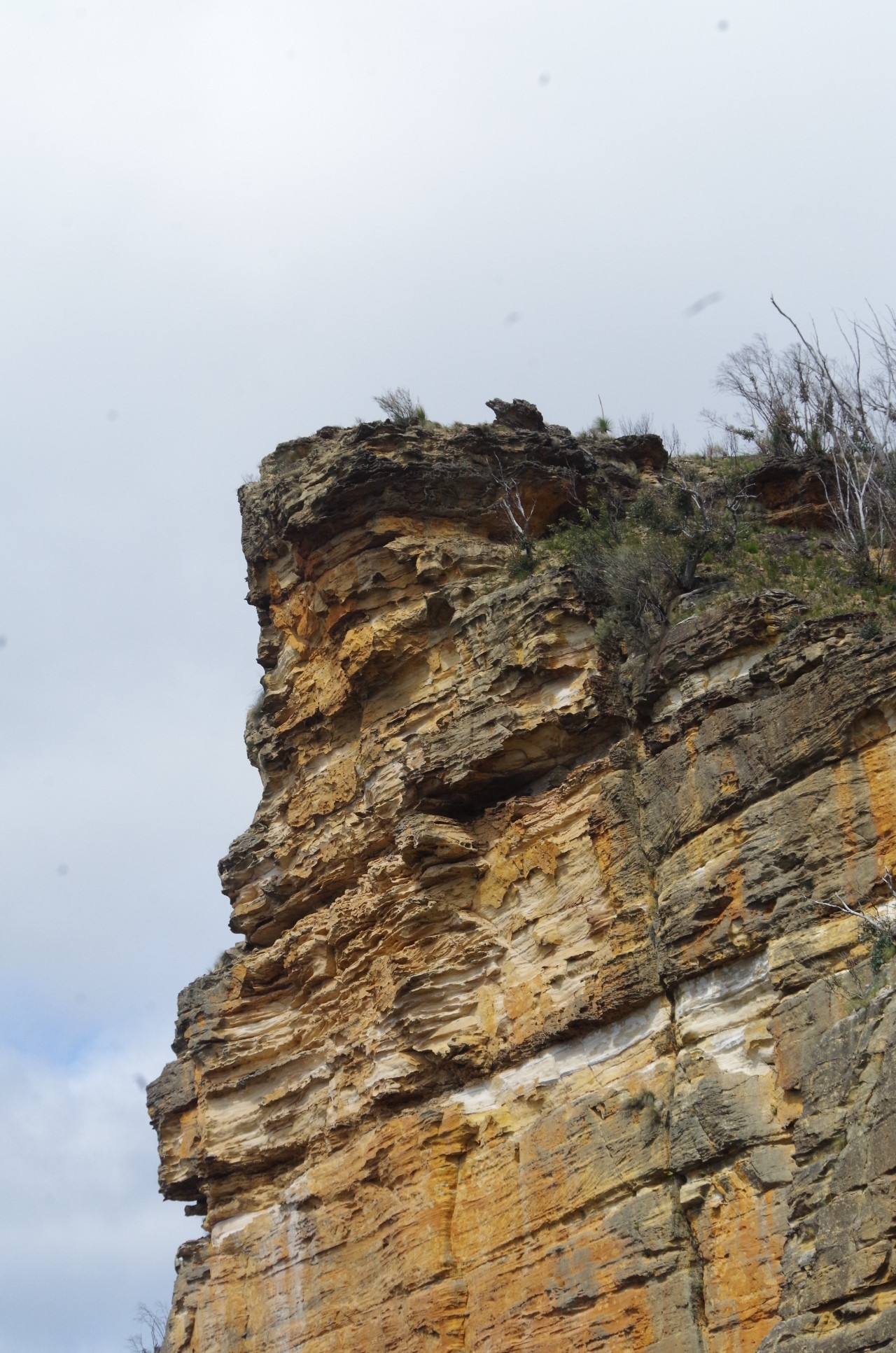
So we went back up the track to the top of Baltzer Lookout, and looking up from below we were amazed at how steep the track actually is. The photos give a bit of any idea how steep it is. Once on top we returned back the same way to Blackheath Town Centre to find a coffee shop that was open. By that time (3.30pm) most were closed or closing, but the Deli on Govett’s Leap Road was open for takeaways. After Coffees we went back to the station with 5 minutes to wait for the next train. It was a good easy walk (except for the last bit) in unusually cold weather for this late in Spring – although it’s not unheard of up in the Blue Mountains- Katoomba has even had snow in December, but that’s very rare. Someone in our group who was going on the PBT next weekend asked if it would be as cold then as this day. In fact it turned out to be 5 times warmer: 25 degrees instead of 5 degrees.

And no “no shows”, by the way.
Bruce Stafford.