Date: 22/8/2020
Trip leader: Bruce Stafford
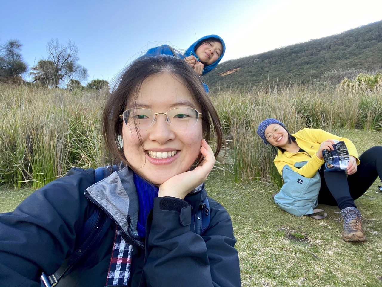
Party: Bruce (leading), Celine Li, Jessica Duan, Peggy Liu, Jason Wang, Shiyu Ma, Barbara Chen, Cathie Johanson, Ruiqi (Rickie) Zhang. And no “no shows”
Photos: by Bruce, by Rickie
This walk looked like being yet another cancelled Figure 8 walk, something which has plagued trips here over the last few years; the usual reason being bad weather. Sea forecasts a week earlier had predicted a swell of 2.5 metres on the Saturday, which would have made a walk from Burning Palms beach to Figure 8 Pool too dangerous even at low tide. I had therefore seriously considered changing the destination to a walk at Mt Victoria, where it would be probably snowy but still OK for a mountains walk. Then Transport 4 NSW put on Trackwork on the Western Line which would have required buses to Penrith, and a return trip of 6 or 7 hours to and from Mt Victoria! Just too impractical for a 4 hour walk there. Then the sea swell predictions for Burning Palms started to improve, and by Saturday the swell would be only 1 metre – safe enough to walk to Figure 8 Pool. So it was back on.
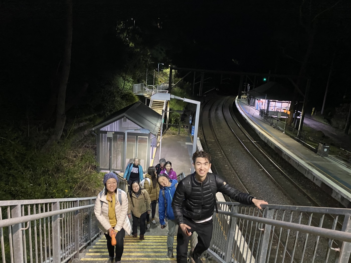
The group got on the train at several stations between Central and Sutherland, but we all eventually met up with each other at Helensburgh Station, with Barbara waiting in the car park (she had driven down). The late low tide at Figure 8 that day (4.30pm) meant an unusually late morning start for the walk.
We also discovered that in our small group of nine, we had four languages! Cantonese (2), Shanghai dialect (2), Mandarin (2), English (3).
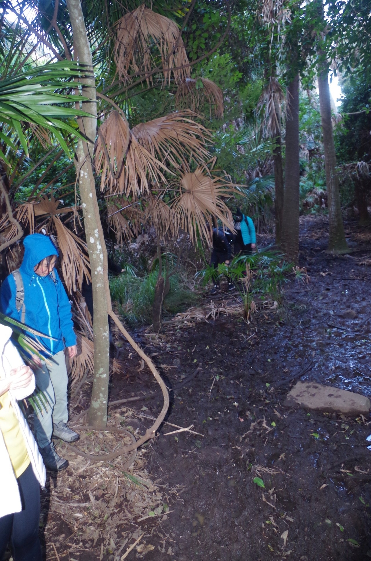
We set off along the track which starts steeply from the station car park, and headed along the track which skirts the fence of Helensburgh Tip, before reaching the start of the Hacking River Fire trail. Along the fence section we met 6 walkers going the other way, but after that, we saw no other walkers until reaching the Garawarra Farm car park much later on. Two dirt bike riders passed us along the fire trail, but no one else. The fire trail meanders for a while before dropping down into the valley of the Hacking River. After about 3km there is a side track to the river which is the start of the Burgh Track, but marked only by a single post. Even then it appears that the post must have been knocked over sometime, and re-erected with the arrow pointing further along the fire trail and not the Burgh Track. Time and again this turnoff gets missed by whoever is at the head of the group, and it happened again this time. They admitted going right past it without seeing it, too engrossed with chatting! I called out to the others who were about 50 metres ahead but then I stopped to give directions to some mountain bike riders who had come down a bike track from down the hill to the side. They opted for Helensburgh rather than end up on Lady Wakehurst Drive and it’s 80km/hour traffic. In retrospect I should also had asked them which track they used to get to the fire trail, as I have often wondered from where the bike track down the hill originates. Anyway, the lead people in our group were stopped from going any further ahead by Cathie. I continued to lead the group for a few minutes more along the fire trail until finding a grassy spot where we could have lunch. It also marks where the bike trail starts. I decided not to have lunch there however as I thought of the possibility of the grass hiding Ticks, and we are getting close to Tick season now too. It gave me the opportunity of warning the group about Ticks, and that unlike unsightly but harmless leeches, they are potentially dangerous. (I always carry a small tube of Lyclear in my First Aid pack, which although primarily a Scabies treatment, is just as effective at killing ticks; put a dab of it on a Tick, leave it for an hour, then remove dead Tick).
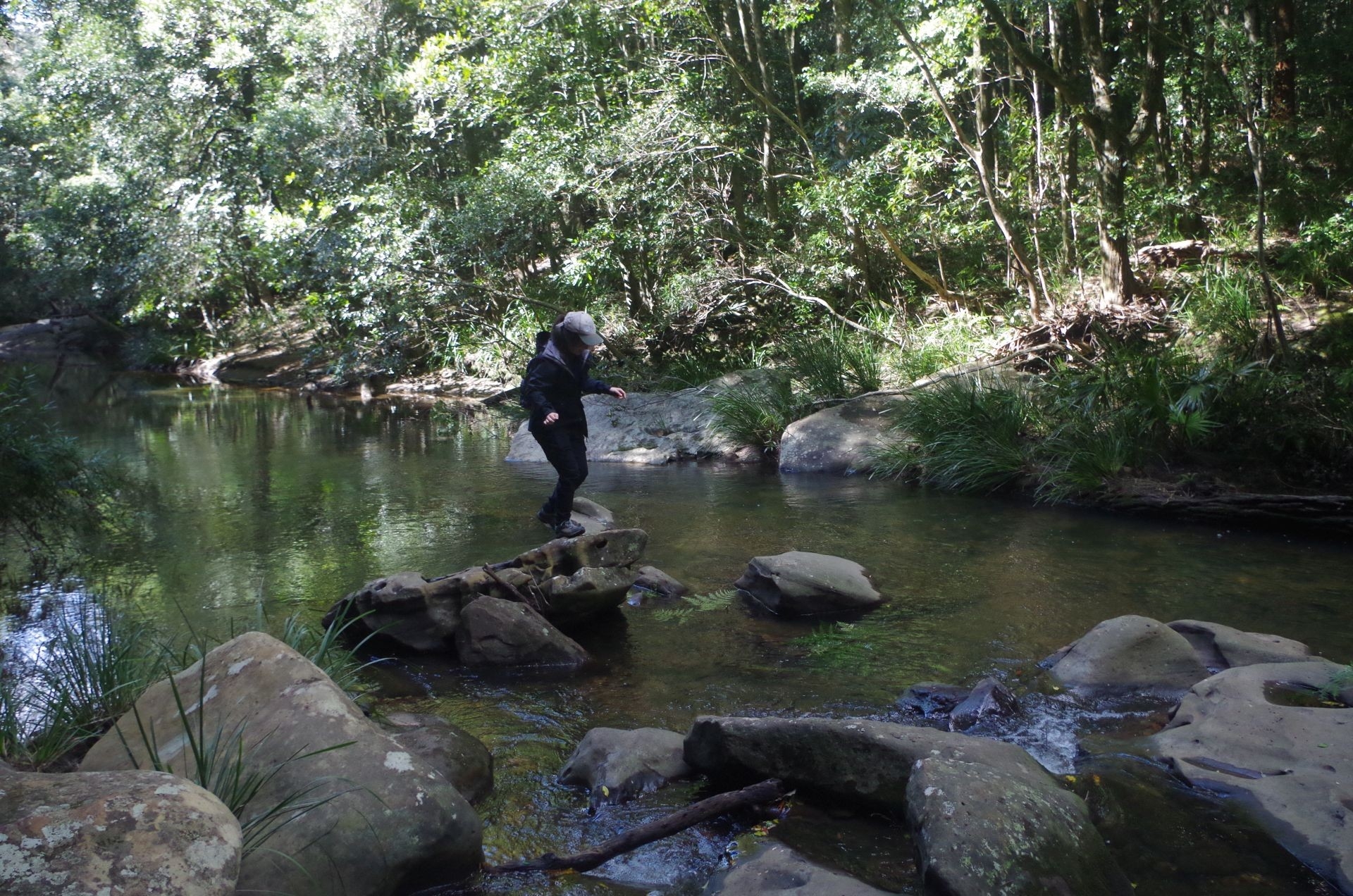
So then we retraced our steps along the fire trail until reaching the Burgh Track turnoff that they had missed. Down that track we went until reaching the Hacking River. This is forded using the rocks as stepping stones, but this time the river had recently been in flood after rain, and although had gone down somewhat, was still higher than normal, and some of the stepping stone rocks were quite slippery. There is a gap between on last rock and a large log on the opposite bank which can look deceptively short, but that stone can be slippery, as now, and on past walks some people have gone on an impromptu “swim”! The solution was either take shoes and socks off and wade across where it is just a bit shallower (but still knee-deep),or form a human chain with each helping the other across (one of Rickie’s photos shows me – the last across – demonstrating what we did). Good teamwork especially by Jason. We like to see this on bushwalks.
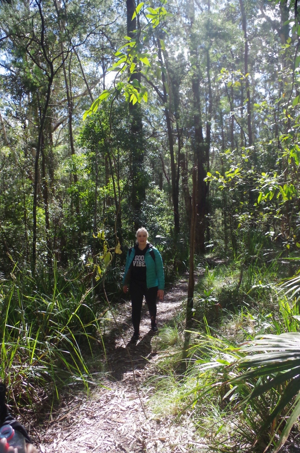
Once across the River, we continued along the Burgh Track which climbs steadily and fairly steeply for over a kilometre before levelling out. By this time people were asking “Are we at the lunch spot yet?” and I soon found one beside the track with some logs and stones to sit on. It was also sunny with some shelter from the wind which was picking up by now. After lunch we continued along for a while, and the scrub gets more dense until reaching the Garawarra Farm car park, and its port-a-loos. Beside the car park there was a long row of those giant white “shopping bags” which NPWS uses to carry track repair material, as the Burgh track between here and Burning Palms is undergoing much needed repair, thanks to the hordes of tourists going to Figure 8 Pool along it (and also along the Coast Track from Otford – more about that later). This section of Burgh Track was closed mondays to thursdays for track work (update: it is now open on those days)..
Use was made of the car park Port-a-loos, and by this time it was 2.30pm, so we were right on schedule. This is where we encountered our first tourists with most of them returning from Burning Palms instead of going to it (and one with a doof-doof box!). Obviously they can’t have checked the tide times, as most of them would have been there around 1pm when the tide was still just coming off high tide. That’s assuming they actually got there.
Along the Burgh Track from the car park we came across more tourists all going the other way. There were also places where track reconstruction was happening, with large sandstone blocks that would become steps and railway ballast between them. This is really necessary as this track is being loved to death by the hordes of tourists. Whenever there is heavy rain (as recently) the erosion gets worse, exposing and damaging tree roots and making the track very rough (same with the Coast Track).
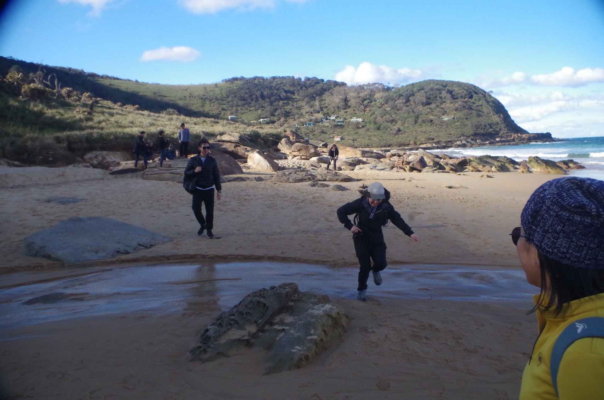
At the junction where the Burgh Track meets the Coast Track from South Era Beach, there is a wider section of the boardwalk being a “passing loop”, but a large group of about 20, some with climbing ropes, made it impossible to practice social distancing as we passed them (or for that matter among themselves) as they sat on either side of the platform – thoughtless! (Incidentally, where can you do climbing there?). After that we continued down to Burning Palms Beach, along the metal grill track which appears to be on the NPWS list to be replaced by the boardwalk.
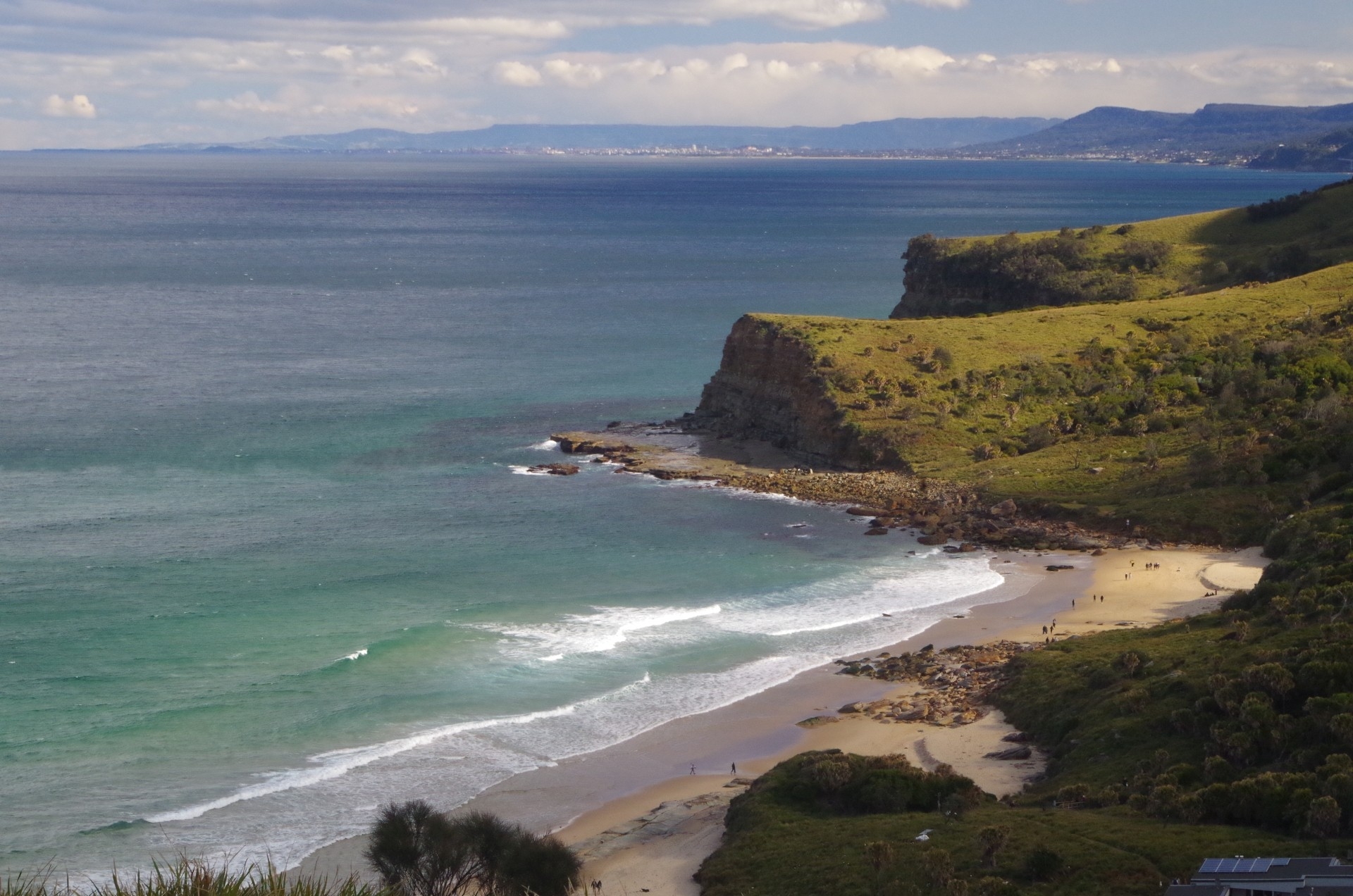
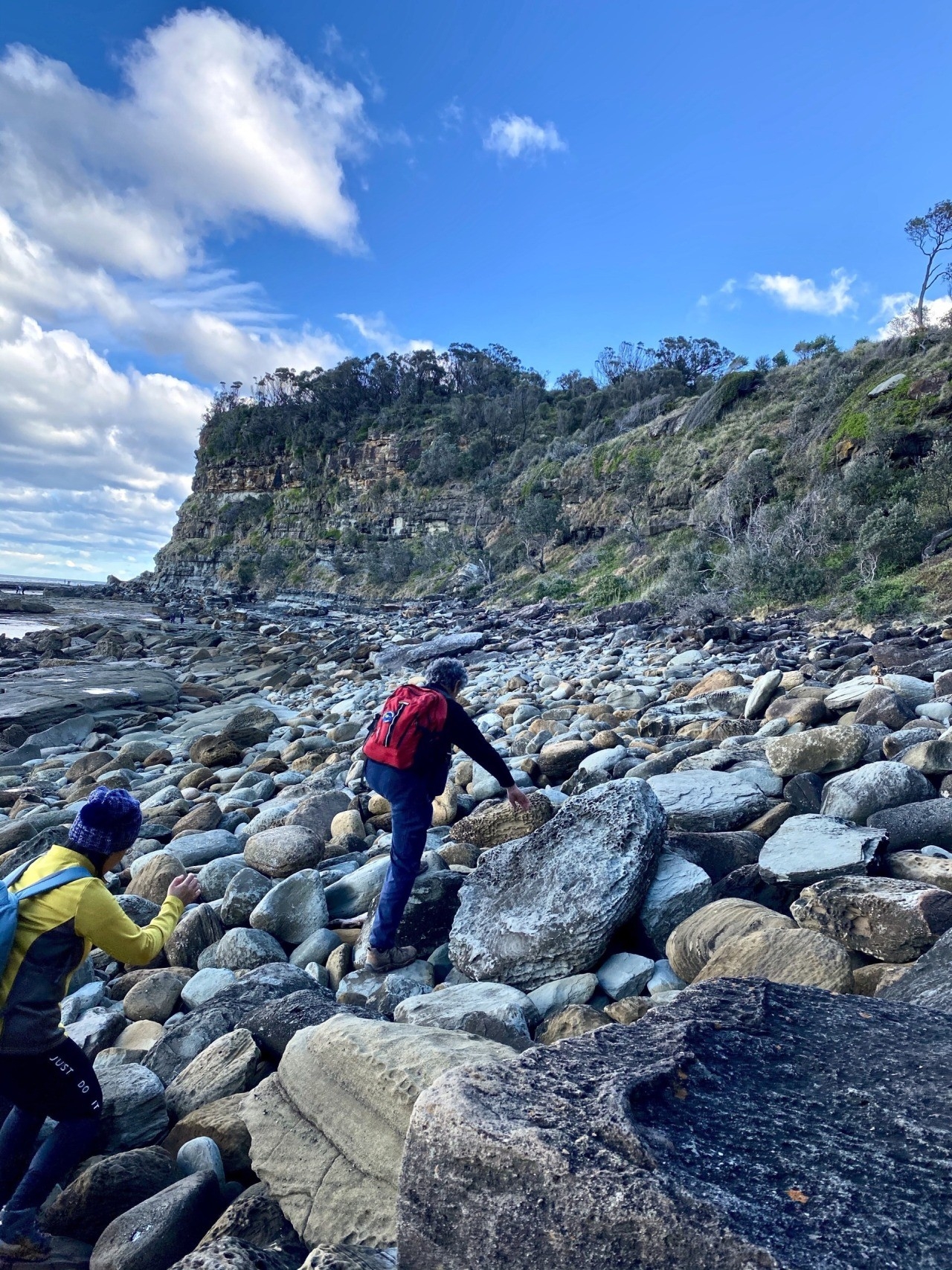
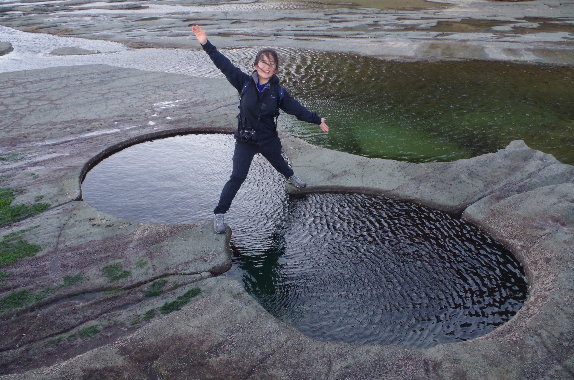
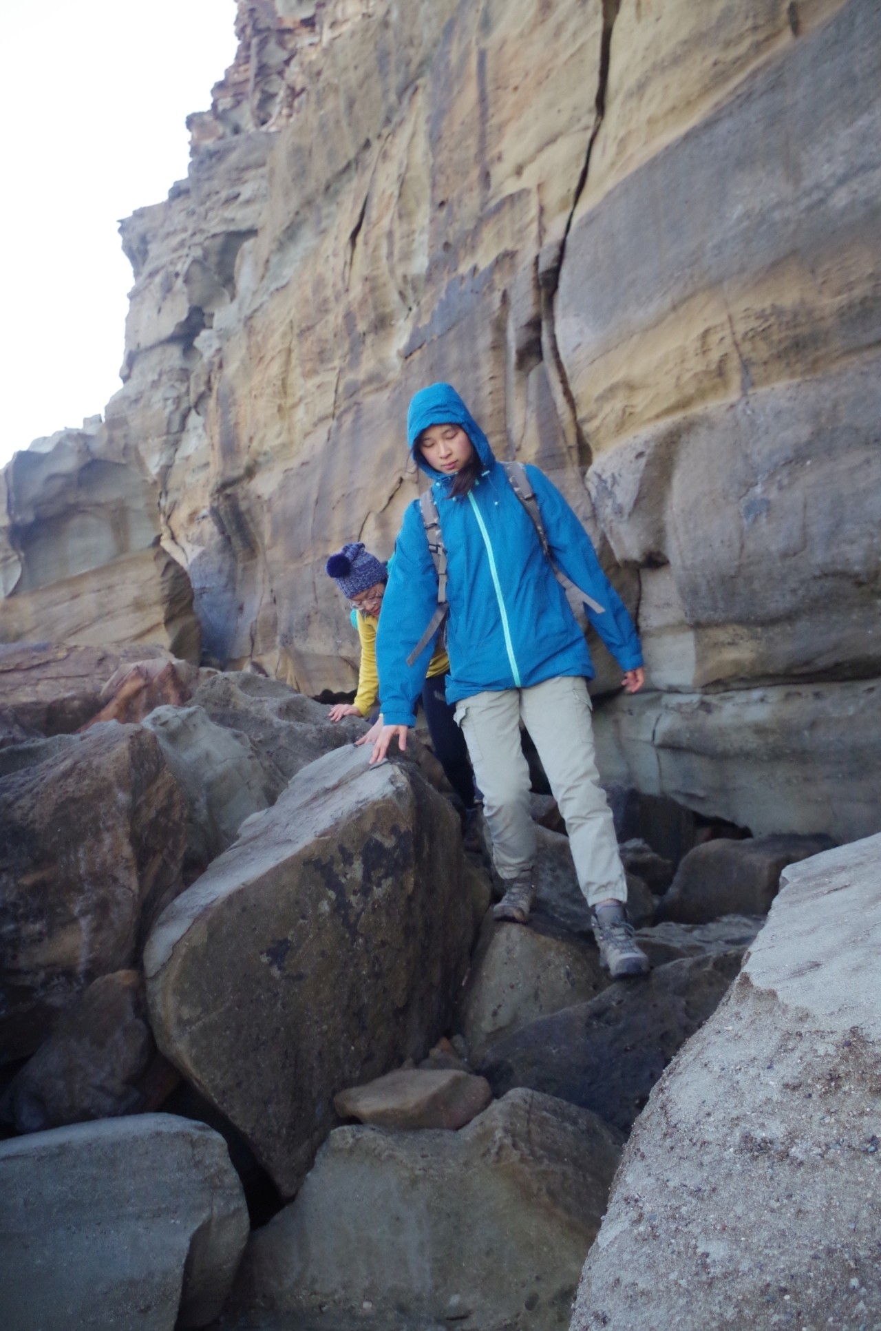
Once on the beach, we walked along and discovered that nature had put up a new obstacle course for us. After the erosion of the sand from the beach during the recent storms, a boulder field mid way along the beach was now exposed. It is normally covered by sand; you can see it in the photos. As well, the two rills which cross the beach were running well and required a short hop to cross them. Then it was onto the rocky “path”, the first part of the “track” to access Figure 8 Pool. We crossed the first rock platform on which there were colonies of Cungevoi, or ‘Sea Squirts”, which will do exactly that if you touch them. They are those most primitive of the vertebrates.
The next obstacle is the first headland, which can be dangerous to traverse at high tide and/or a heavy sea swell. In those conditions the waves can easily reach the “path”, the rocks are slippery, and I had to remind some people that this was not a place to stop for selfies. After the first headland another boulder field is crossed before reaching the final rock platform on which Figure 8 Pool is located. Once on this platform there is no shelter from the strong wind which had turned south-westerly by now and with a few 50km/hour gusts.
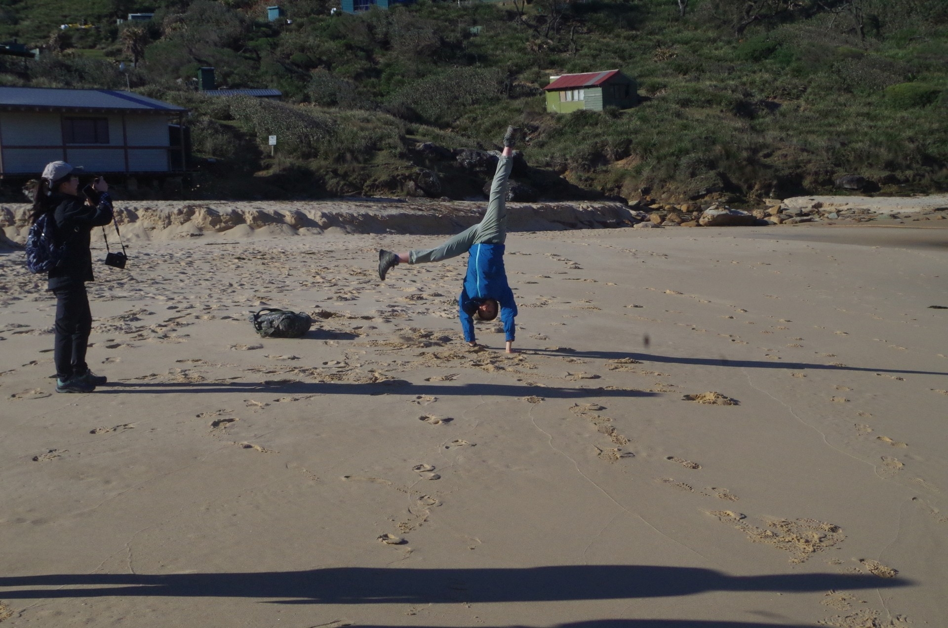
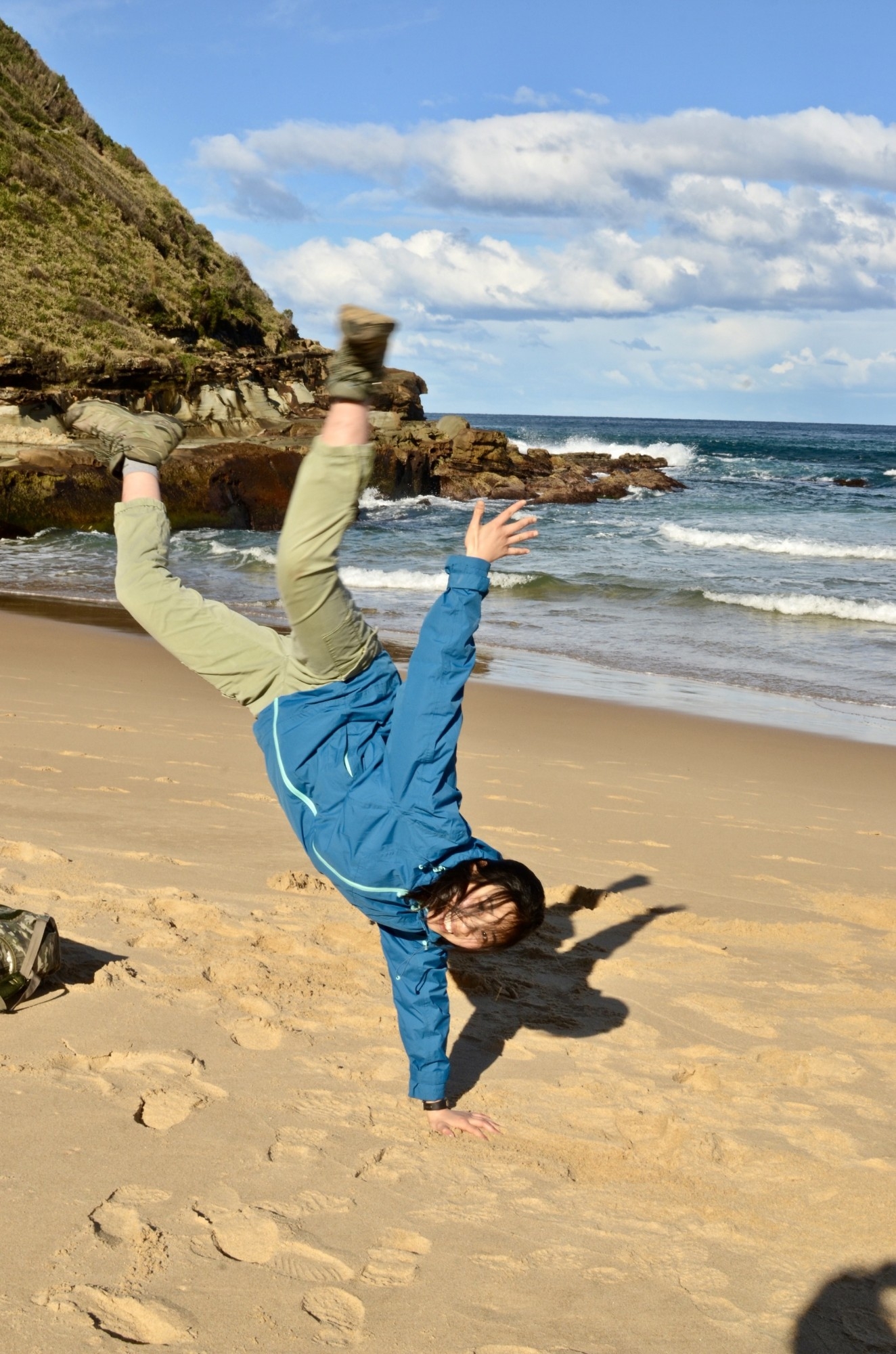
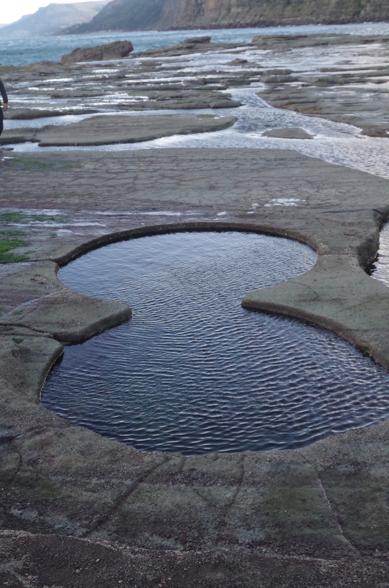
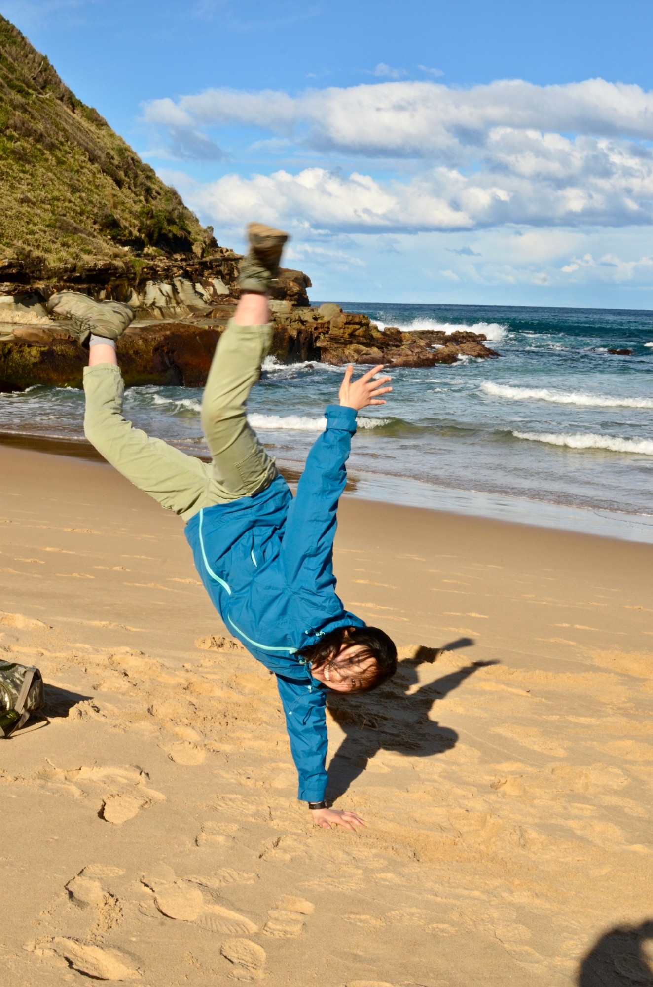
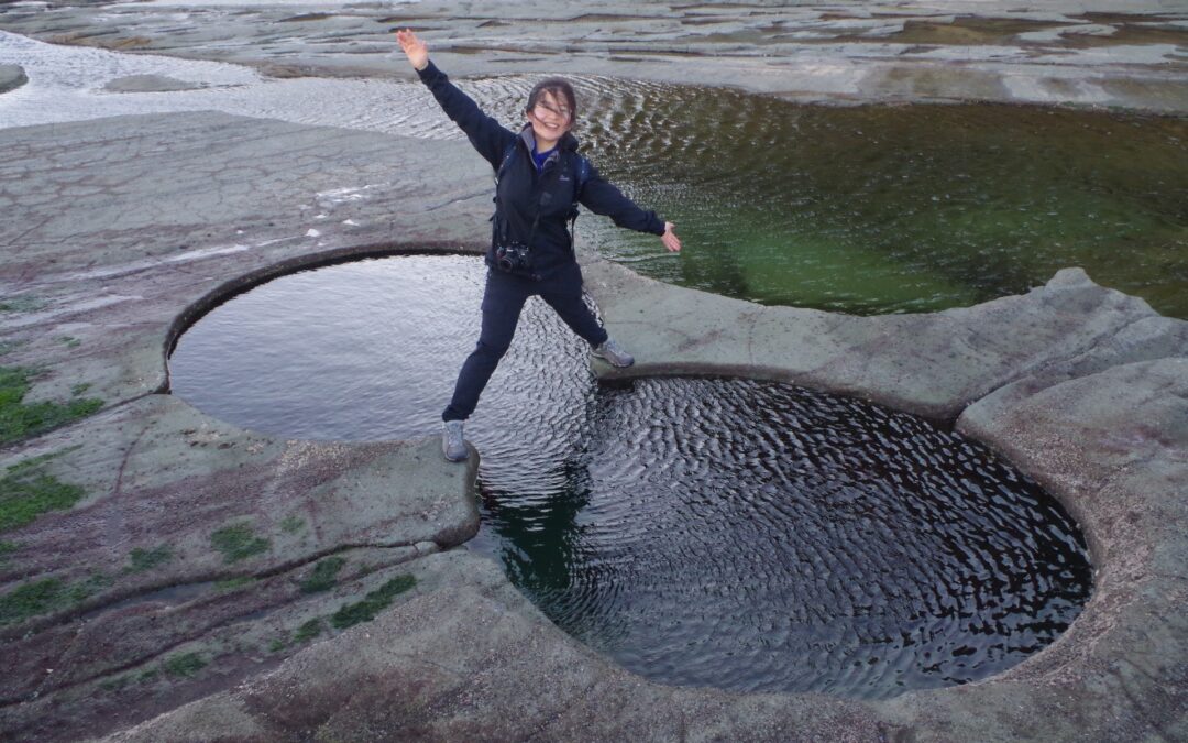
It was 4pm by the time we reached Figure 8 Pool, and indeed it turned lucky for us, as there were only two tourists there by then, and they soon left. So then we had the place to ourselves. No crowds, no one smoking or loud music – just us! So rare nowadays. Selfies were taken, and at one point a large crab got out of the pool, but, as all wild animals do, scurried quickly back in again when Rickie rushed to take a photo. They all like being watched from a distance. Also, a very strong wind gust, over 50km/hour probably, almost knocked us off our feet and sent Peggy’s orange hat flying for over 250 metres! Fortunately for her it went off the edge of the rock platform onto a lower ledge and not into the sea, and was recovered later. The strong wind also made unusual delicate little waves on the surface of the rock pools (see photos) almost like lacework.
Taking advantage of the still falling low tide (which would be at it’s lowest in about 10 minutes) we set off again for the beach, which we reached about 5pm. We had a short water and snack break on a cropped grassy clearing before setting off up the track which follows Robin Rill to reach the Coast Track. Before that, I took up an offer from a couple of people to share some of the heavier items in my pack to lighten my load. At Hacking River earlier, they were surprised at how heavy my pack was. It contains items you hope you will not need such as a First Aid kit, but the heaviest item in a pack is usually water, and 2L H2O weighs over 2kg (with the containers), and of course lunch. This time I also had a lightweight tripod, and also a telephoto lens which together weighed 2kg. It all adds up. 1kg of water in a flask and the telephoto lens got shared out in other packs. Thank you people (more good teamwork!). From here it was straightforward to Palm Jungle with a photostop on the Lomandra Boardwalk section.
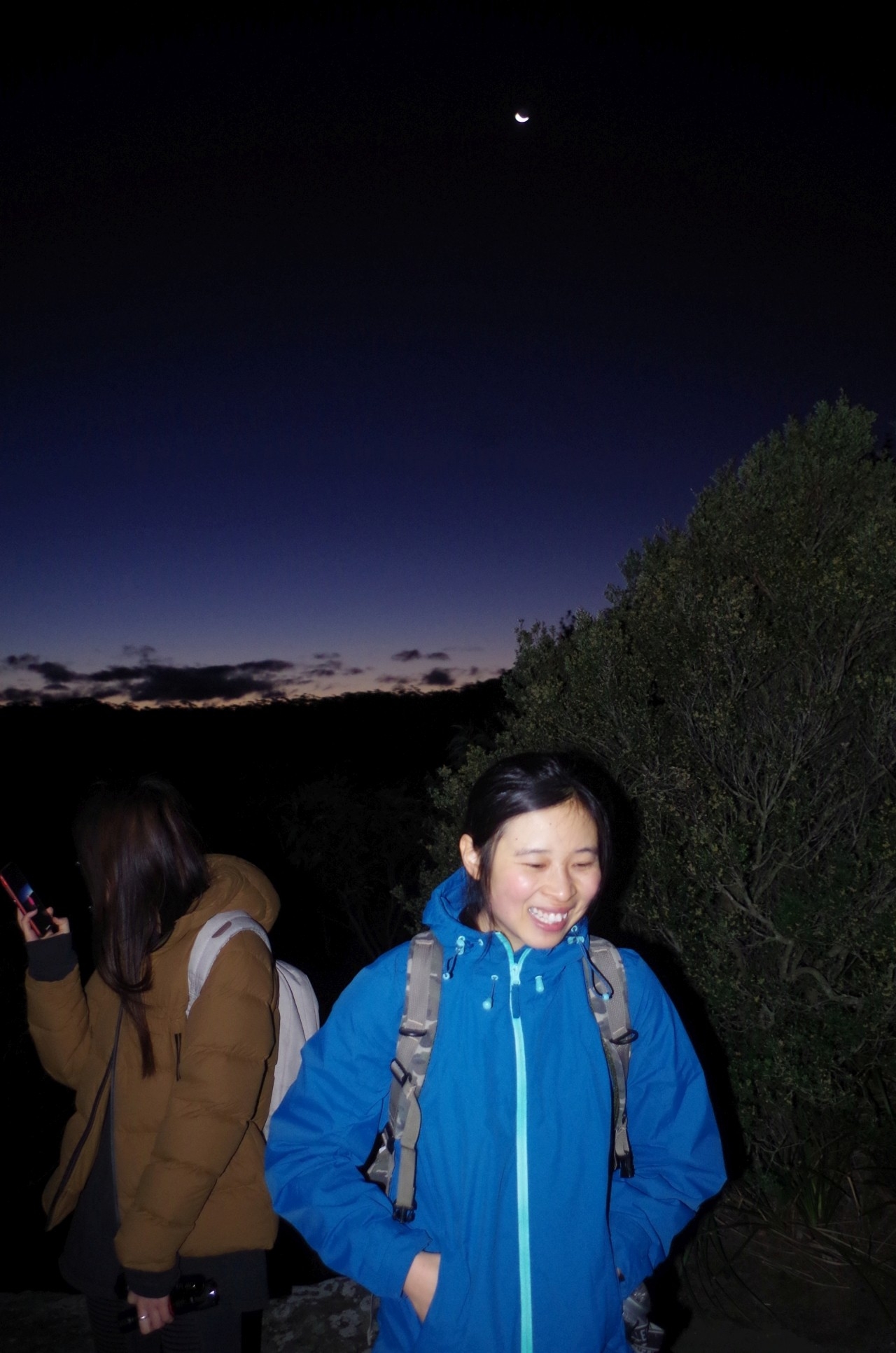
Once in Palm Jungle, however, several very muddy and soggy sections are encountered, obviously a result of the heavy rains here in recent weeks. Squishy squashy mud,and I would like to think that it is a priority for NPWS “trackwork”. Also, although normally dusk (or “civilian twilight”) was ending at 5.55pm, the gloom of the thick Jungle meant that our torches had to come on before that time. After the thicker (and wetter) section of the jungle, the track starts to rise fairly steeply, and as it got darker, having to pick our way along the track using torchlight slowed us down a bit, as did the gradient. The dim light of the torches also made it harder to clearly see any small rocks on the track that could be trip hazards, which also caused to go at a less optimal speed. At last we reached the final climb which rises via stone steps (probably made at the end of the 19th Century when the track went originally to Lilyvale Station). That took us to Werrong Lookout where we had a short break although the still very strong winds spoilt any chance of using a tripod for night shots. So the 2kg tripod and lens were brought along for nothing.
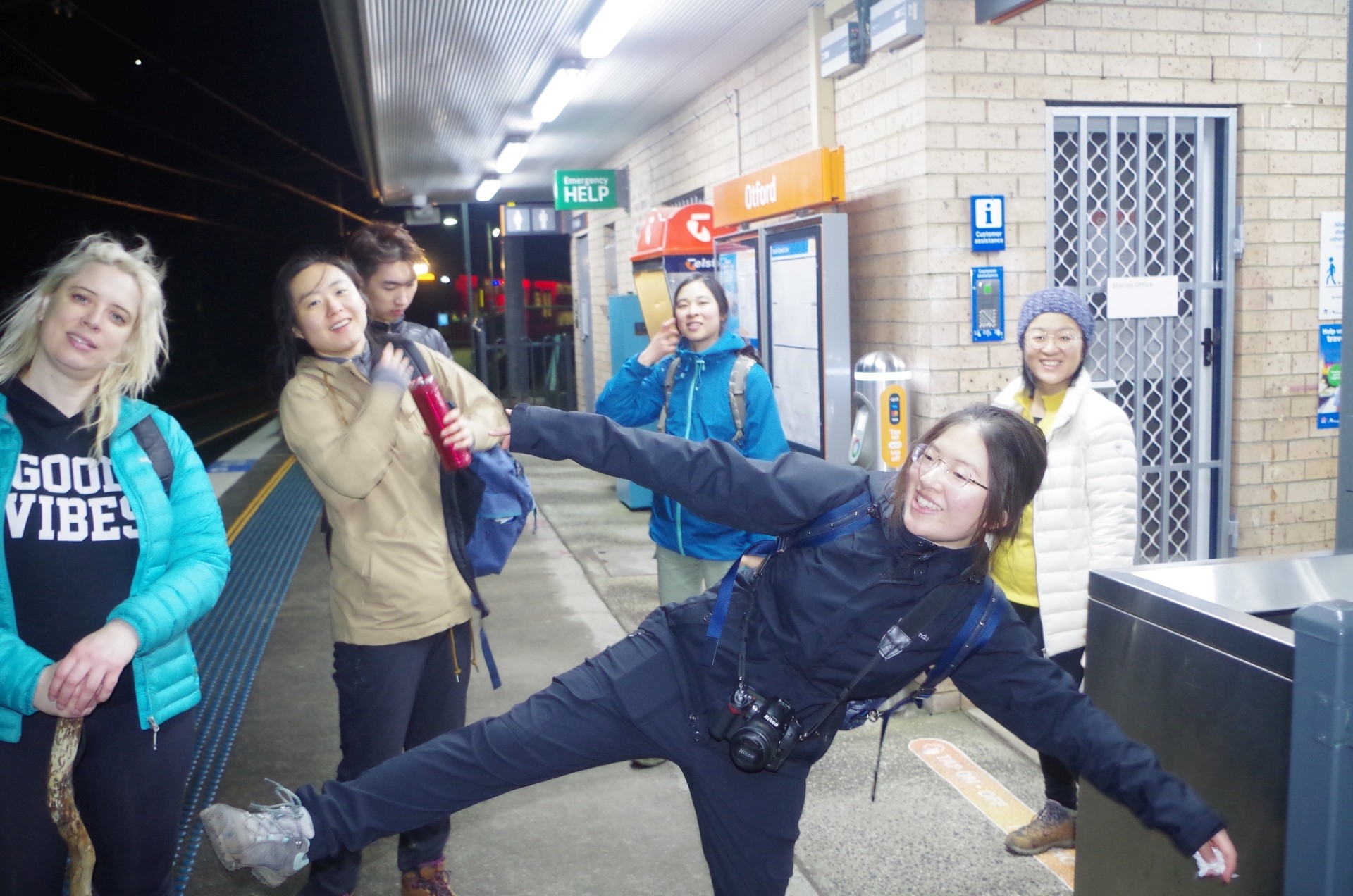
By the time we left Werrong Lookout it was 5.55pm, and with 1 hour 20 minutes until train time I estimated we would make it OK, which we eventually did. Our speed was helped by the new boardwalk NPWS has now put down between Werrong Lookout and the junction of the Coast Track and Clifftop track (called “Squeezeway” by Wildwalks). Past that junction the track is quite wide and smooth, but after half a km becomes narrower and because of the heavy foot traffic by tourists to Figure 8 Pool, has become somewhat eroded here too. It presents roots and small rocks that can be hard to see by torchlight and can be trip hazards. There is also a lot of NPWS track equipment here too, suggesting that a boardwalk will soon be laid down here. Meanwhile we are buffeted by still very strong winds which howled through the trees. Another stretch of boardwalk is reached about 150 metres before Otford Lookout, which we reached a few minutes before 7pm. From then it was just a road bash along Lady Wakehurst Drive and down steep Beaumont Road to Otford Station, which we reached with 4 minutes to spare before the train came. Good timing. (On these Otford walks, a lot of people get worried about getting to the station on time because although the railway is very close, it can’t be seen until you are right on top of it). The warmth of the train was very welcome as the temperature had by this time (7.15pm) dropped to below 10 degrees,and the wind chill made it feel even colder.
Barbara got off at Helensburgh and back to her car, and Cathie got off at Sutherland. Most of the rest of us got off at Redfern and I made it to a lucky connection there (thanks to trackwork!) to an earlier than normal Newcastle Line train, saving me a half our wait at chilly Central.
Everyone liked this walk and felt they got some luck. We were indeed very lucky to have Figure 8 Pool to ourselves, and also luck with the improved weather.
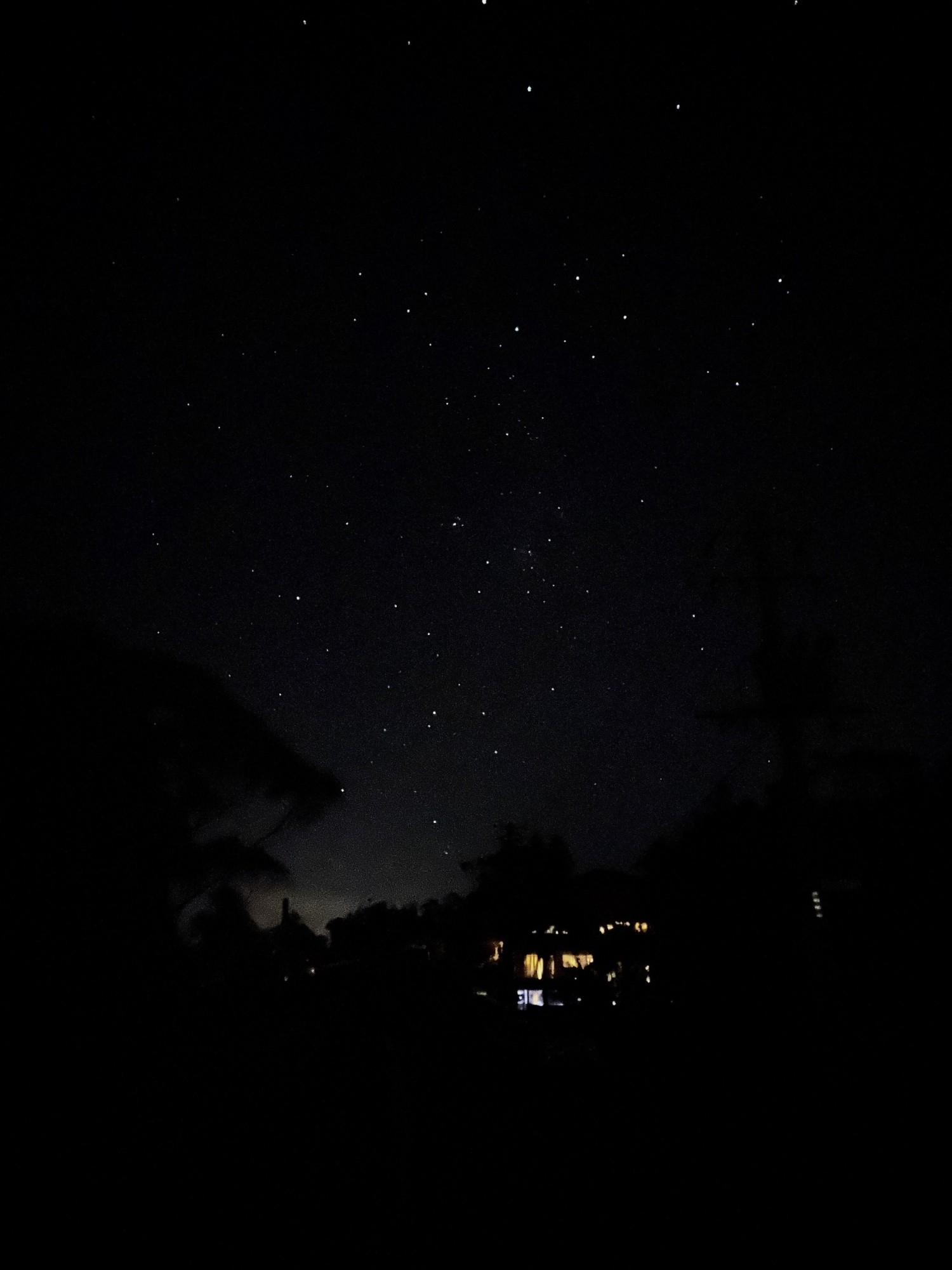
In calmer weather the next night I got my photos of Jupiter and Saturn (see final photos in my photo link).
Bruce Stafford.