Date: 19/8/2018
Trip leader: Bruce Stafford
Party: Bruce (leading), Charlotte, Xuyang, Zhong, Emilie, Cathie, Christine T, Richard C, Anine, Trang, Peixin (Anny), Thibault, Chloe, Femke, Matthew Ho, Laura R, Sui Huang.
Photos: by Bruce
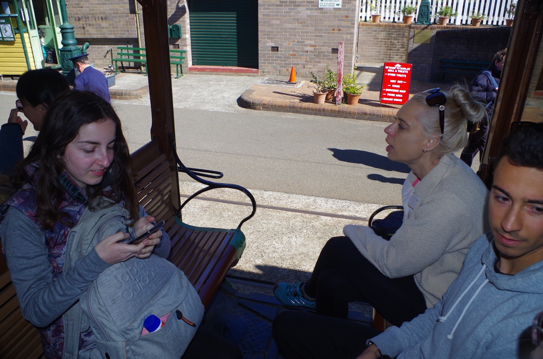
A computer “meltdown” affecting the rail system the previous day caused some anxiety about whether the trains would be mucked up on the Sunday. As it turned out the trains on Sunday (walk day) were OK. Not so OK for me though, as in the government’s usual wisdom it closed down all trains running between Strathfield and Brisbane for trackwork, thus requiring me to meet everyone at Hurstville Station instead of Central. While waiting at Hurstville for the Loftus train, I discovered that 5 people had not brought sufficient cash – or even no cash – for the tram fare at Loftus. Too late to go to an ATM at Hurstville, so that required some hurried exchange between some people and a few IOUs!
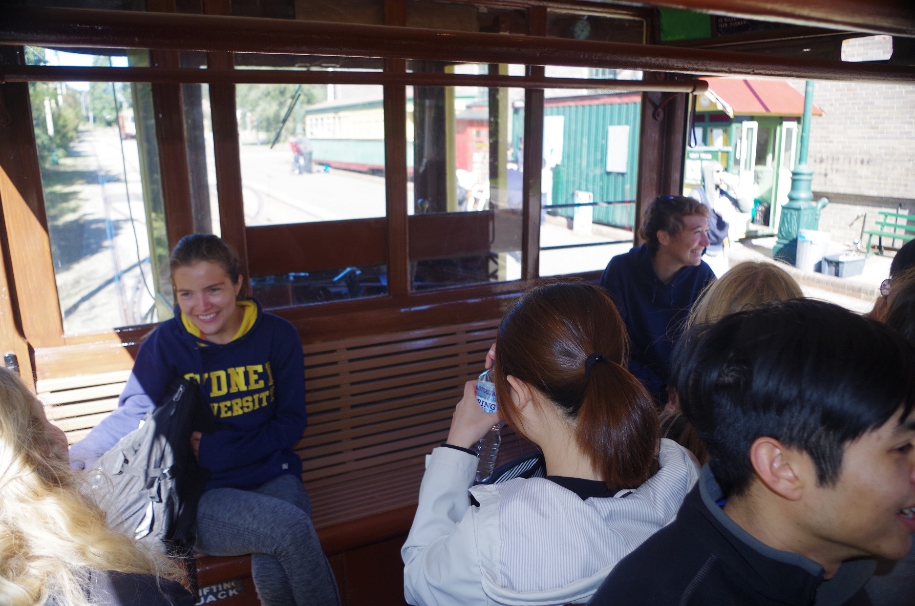
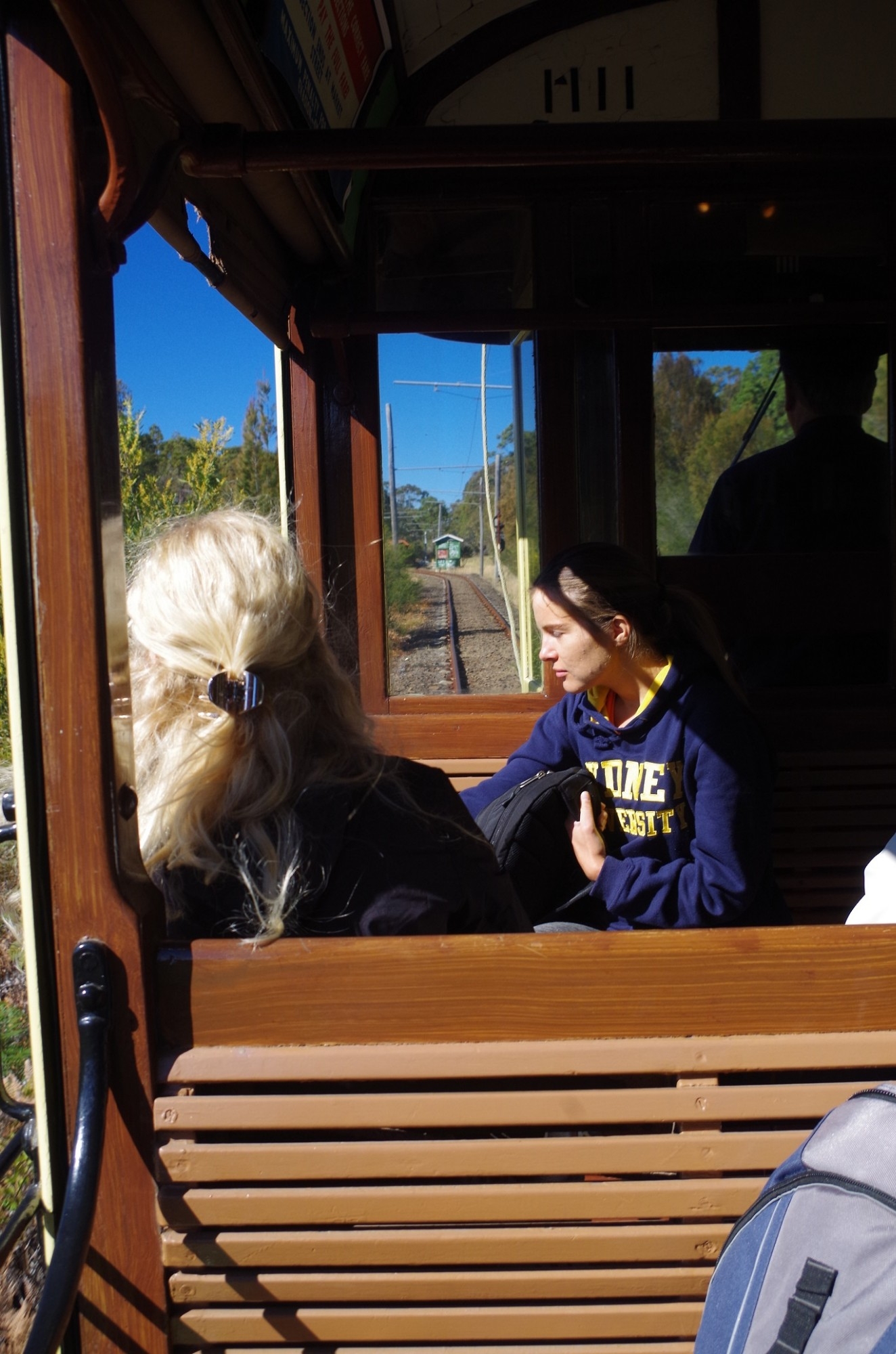
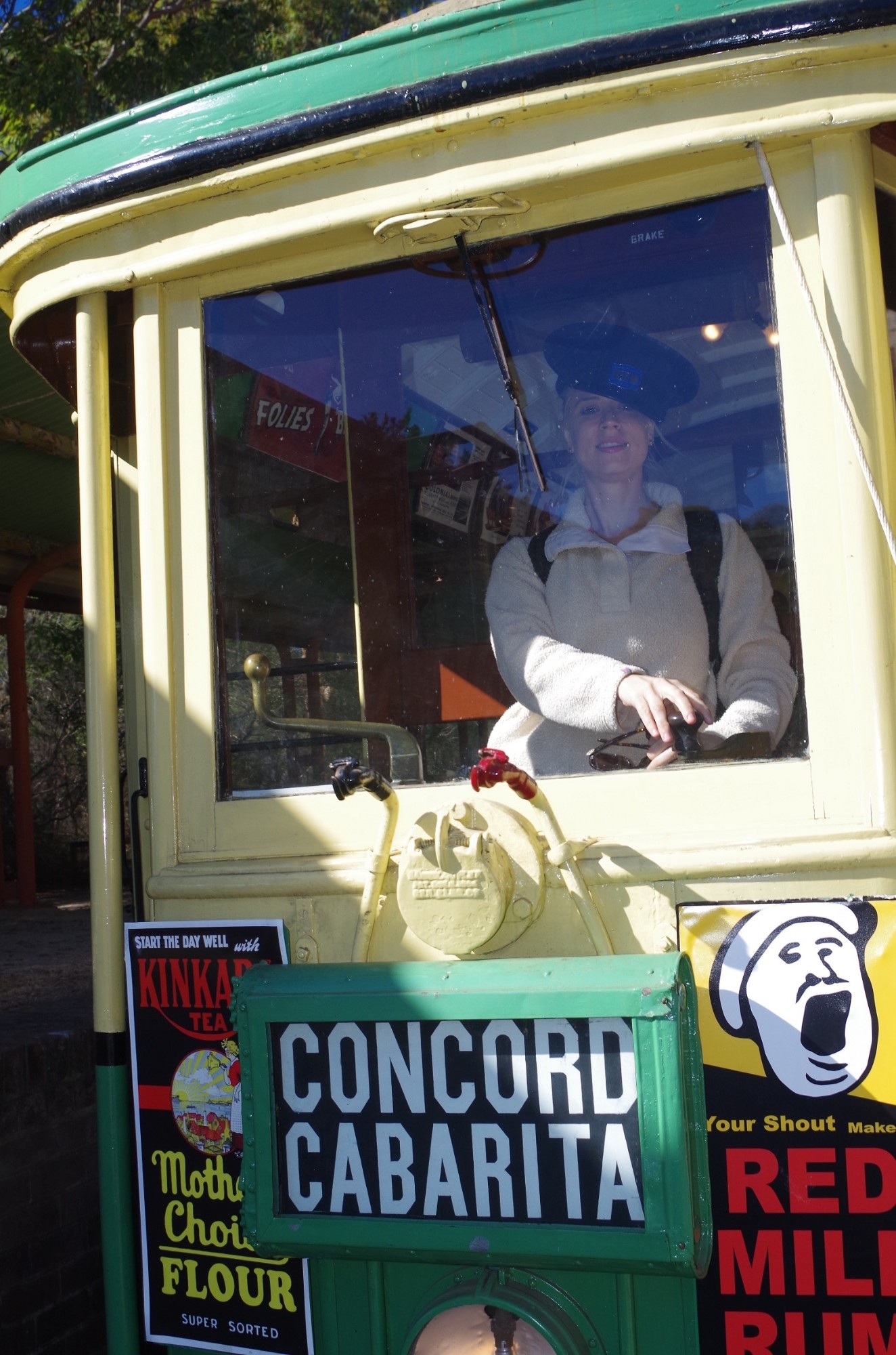
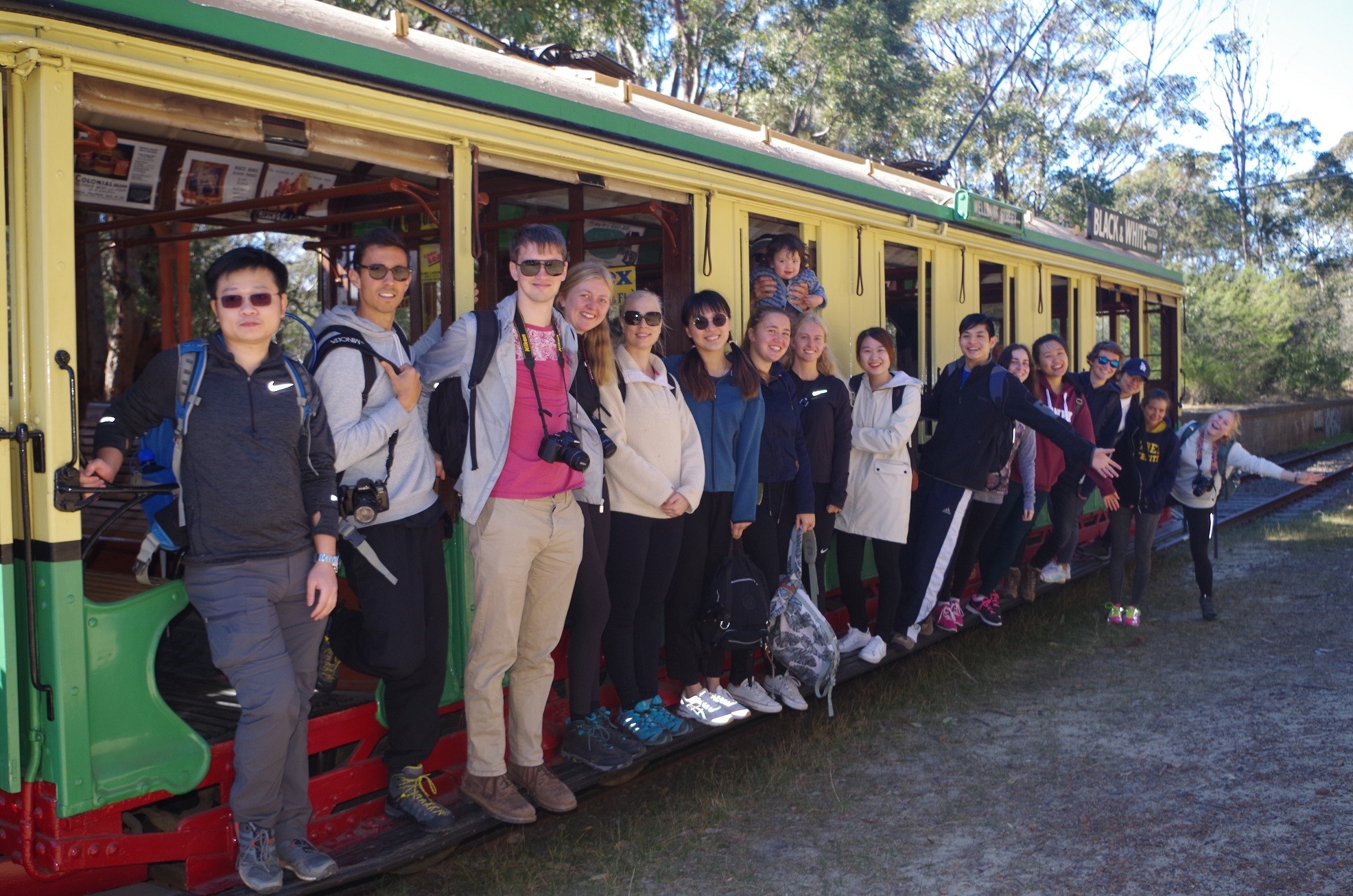
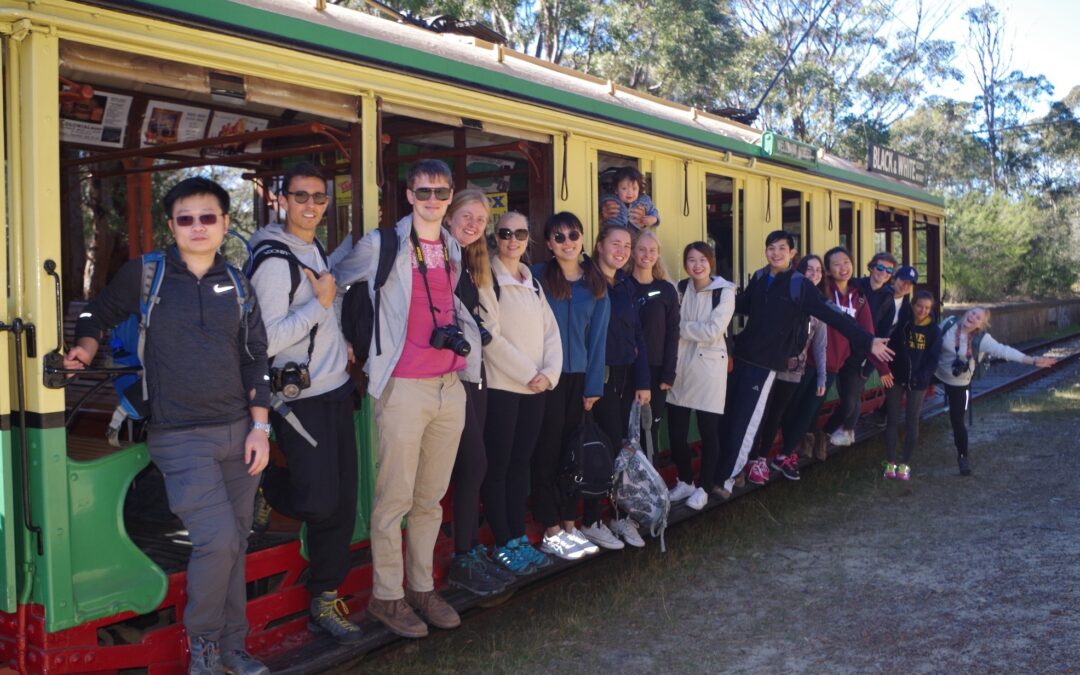
Everyone met up at Hurstville (except Anny who caught the train direct to Loftus to meet us there), and we continued down to Loftus. On getting to the tram stop, use was made of the toilets there, and everyone bought their tickets. Then came a surprise. Instead of the usual modern type of tram used on the National Park Line, along came a 106 year old bench/footboard tram (what were called “toastrack” trams). This type is almost never used on this Line, and never in winter. The tram people explained that it was out of the Museum to mark 70 years since the closure of the Enfield Line (hence the “Concord/Cabarita” destination sign used). So our overseas students got the bonus a rare ride on a Sydney tram from 100+ years ago on this 3 km line.

At The National Park terminus everyone lined themselves up on the running board to pose for the camera (see photos). Also on the tram were four overseas tourists who had arrived at Loftus Station with no idea of how to get to the Royal National Park. We gave them directions and advised them to get the tram so as to avoid putting their life into their hands by crossing Princes Highway there on foot.
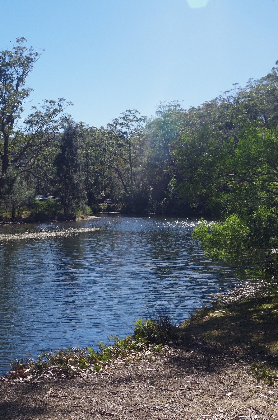
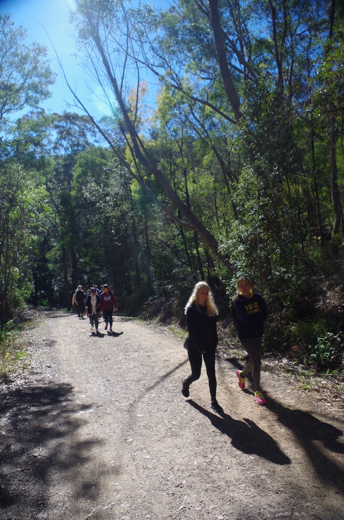
From the terminus we continued down to Audley by way of the “Honeymoon Track” and there across the causeway there to the picnic grounds. I explained to the group that the water upstream was “fresh” and the downstream water was salty. After another loo stop at the picnic grounds we made our way to the Audley end of Lady Carrington Drive. Originally a pony track, then a one-way motor vehicle road, but it is now a shared bicycle and walking track. From here it is 9.7km long according to Wildwalks – although we intended to access the Couranga track 1km before the southern end.
We hadn’t gone far before a couple of walkers coming the other way advised us that there was a “large snake” about 100 metres ahead. I interpreted “large snake” to be a Python (as they are usually 2-3 metres long), but the snake turned out to be a 1.5 metre Black Snake (Red-bellied Black Snake, Pseudechis porphyriacus). This species is only mildly venomous, but can still make you rather ill if you are bitten. The snake decided that being accosted by 17 people was too much, so it decided not to hang round, but slithered off into the cover of the undergrowth.
This snake was the least of the dangers that we were to expect on this track. As I mentioned, it is a shared walking track and cycle way, suitable for mountain bikes. We saw quite a few, but were usually riding at a safe speed as they passed us and there was no real risk of collision. Some were with small children who seem to be in the learning stages of riding a bike. There were a couple though who went past at a speed a bit too fast for comfort, but one idiot was a real stand-out. He was the sort of rider who gives bike-riders a bad name. This fool tore past us (and probably other walkers and riders) at a speed which I would estimate at close to 40 km/hour, uncomfortably close to our group, not giving any warning of his approach. Then, after about 20 minutes he came back in the opposite direction just as fast, and on encountering our group maintained his speed, and yelled some of them “TO THE RIGHT, TO THE RIGHT!” Now, most of my walking group were overseas students, and such a yell could be confusing to them, given that English is their second language. If they had indeed gone to THEIR right – instead of the idiot rider’s right, they would have stepped right in front of him and been hit and likely seriously injured.
Most bike riders on that track are there to enjoy the scenery, and/or give their children bike training on what should be a safe track. I can’t see the point of tearing along a scenic track at breakneck speed.
Of course, we walkers also have to do our bit by giving bike riders on shared paths enough room to pass safely. A couple of times I had to ask some of our group to keep to the left, and one particular person in white shirt and cap (whom I won’t embarrass by naming) had to be asked three times not to be walking three abreast with her other two companions.
(For the record, I will point out that I often ride a bike on Central Coast shared paths).
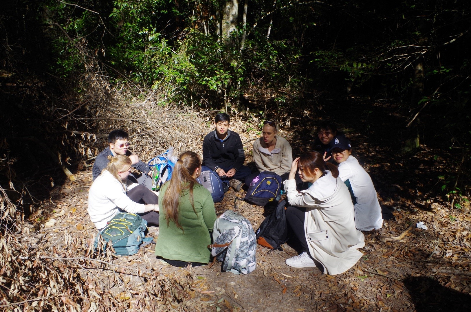
About 1pm we stopped for lunch in a spot near Paloma Cave. I gave a visit to the cave a miss as it would add 3km to our walk which was already planned to be 15km. Also, some people have on websites reported it to be Leech country!
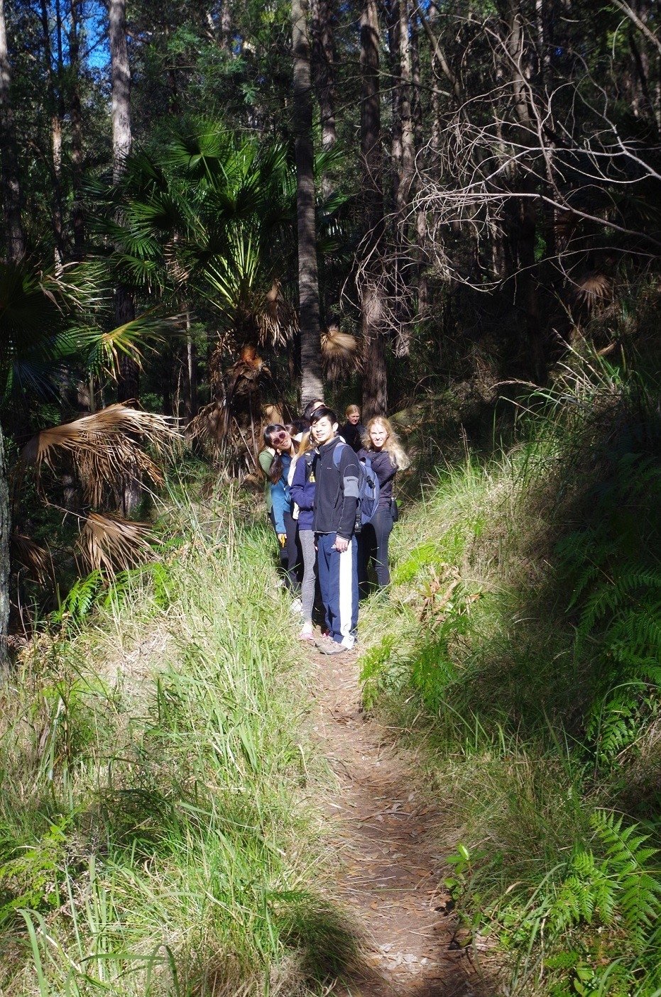
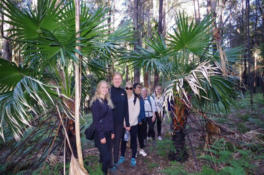
After lunch and consulting the Otford topo map, I realised that we were only 1km from the start of the Forest Way Track. Although not originally on my itinerary, we were making good time (it was still only 2pm) so I decided to take this very picturesque track which passes through dense jungle and palm groves beside the Hacking River. It is 4.4km long if you do the whole loop, but I intended to join the Couranga Track after 3.5km.
The overseas students appeared to love the scenery, and said that the presence of so many palm trees reminded them of holidays along the Mediterranean. The track was also quite dry (as indeed were all the tracks we used in the present dry period) so there was no hint of Leeches anywhere.
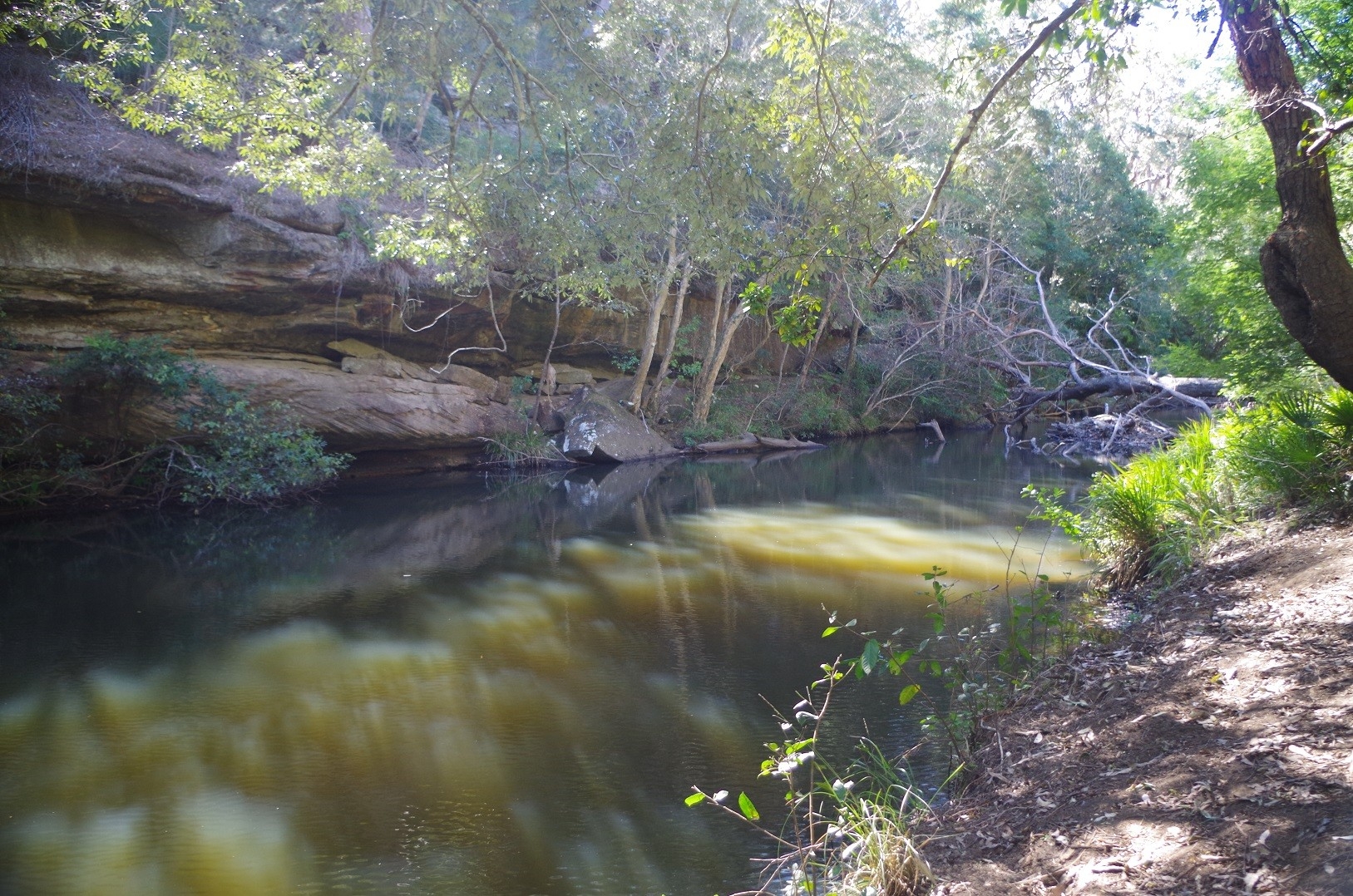
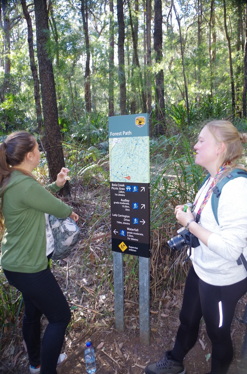
Eventually we came to the junction of the Forest Way Track with the shortcut to the Couranga Track. (The sign in the photo might suggest it is the start of the Couranga Track, but that is not so). After a short water break we went down this track and passed a sign stating “no pushbikes” (the track is hardly suitable for a bike anyway). This shortcut track drops down into a vale and then fords the Hacking River on stepping stones. It was very easy to do so this time, but I suspect that in a period with normal rainfall t might not be so easy, and if in flood could be impassable. I noted that a couple of the group had gone on a couple of the rocks just off the track to pose for photos.If they had done so when the river was running at normal level, I’m sure that they would have acquired some blood-sucking hitch-hikers (leeches)! In this dry weather however I was not concerned.
After crossing the River, it is just a short climb to reach the Couranga Track Proper(warning: the direction to Uloola Track and Waterfall is not signposted, so you just have to know you need to turn right heading NNW).
I have never been on the Couranga Track before (nor on the Forest Way track) and from the comments about it on “Wildwalks” website, I expected it to be overgrown. In fact it turned out to be quite easy to follow and for the first half of the way it was through open woodland and palm trees. It follows the valley of Hacking River for about 2km before ascending Couranga Ridge. That’s when it becomes a steady slog on a fairly stony track. Eventually it starts to level off on reaching the heathland near the Uloola track. A water break was requested after the climb, so we had a short stop. Unfortunately, having come near the top of the ridge, we started to experience the strong cold west wind which had been blowing all day keeping the air temperature down. Up to now we had been sheltered from the strong wind most of the time along Lady Carrington Drive, as it is in the Hacking River Valley.
After another half-kilometre along a slightly overgrown section, we reached the junction of the Uloola Track, which is actually a wide fire trail from Waterfall Station. We followed this for another 500 metres until coming to the Waterfall Cricket Oval, an then another short track through more heath to the Waterfall Station car park. Noted some Scouts setting up tents on the Oval, and having a hard time of it in the strong wind.
This was the end of our walk, and Zhong’s GPS recorded that we had walked 20km since leaving the tram terminus. The extra 4km over what I had expected was due to walking the Forest Way track, which was not in the original plan.
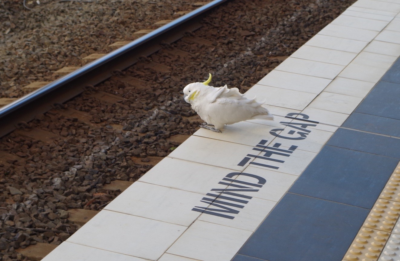
We got to Waterfall Station just 15 minutes before an express train to Central was due. More loo stops again, and also noted on the platform three White Cockatoos taking shelter there from the wind (see photos). We got on the train (thankfully heated after the bitter wind) and made our ways back home.
Apart from the cold winds at the start and the end, it was a good walk in sunny weather, and the students saw a wide variety of vegetation types on the walk, and even some wildlife (the Black Snake).
Some of our group asked if there was a waterfall at Waterfall. According to the “visitsydneyaustralia” website, “Waterfall derived its name from the waterfalls close to the railway station.” Hmmm, I don’t know of any, and the name has confused not a few tourists. My guess is that it might be referring to Uloola Falls, about 6km down Uloola Track. There is a waterfall of sorts near Kingfisher Pool, about 1.5km west of the Station, but it is definitely no Niagara Falls!
Things to note about all the tracks we visited on this walk: – Lady Carrington Drive: be aware of the sort of cyclists who think they are on a velodrome. Ensure your group keeps to the left. Forest Way Track: can be a leech track in warmer and more damp weather. Couranga track: the track proper actually starts from McKell Avenue, not the Forest Way Track. The shortcut over Hacking River may be unsafe when the river is in flood, and would have leeches as well in more damp periods.
The other thing I need to mention is that it is apparent that members are still not properly reading the description of walks when they are put up on the SUBW website. The description of this walk clearly stated that the tram (at Loftus) does not accept Opal cards, and Tram fare is $3 students and $4 full fare. As mentioned, 5 people turned up without sufficient or any cash, or who expected to be able to use their Opal card on the tram. Now all that happened was that some people were scrounging around for enough cash to pay the tram fare. Minor issue. On other walks though, not reading (or misreading) walk descriptions could result in much more serious problems.
Some years ago, someone organised a “nude bushwalk”. Someone turned up who did not read the part about it being a nude walk!
There was, by the way, one outright “no show” on this walk. That person still hadn’t contacted me as to why he didn’t show up. A reminder: if you are a “no show” on walks, you might find yourself put on a wait-list for future walks that you sign up for.