Present: Samantha Waldon, Hendrik Bethke, Zachary Wollman, Leonardo Novelli, Paul Griffiths (trip leader)
Date: 22/4/2018
Photos: https://www.flickr.com/photos/130167675@N03/albums/72157692916783652
A long day in perfect weather with just enough excitement to keep it interesting.
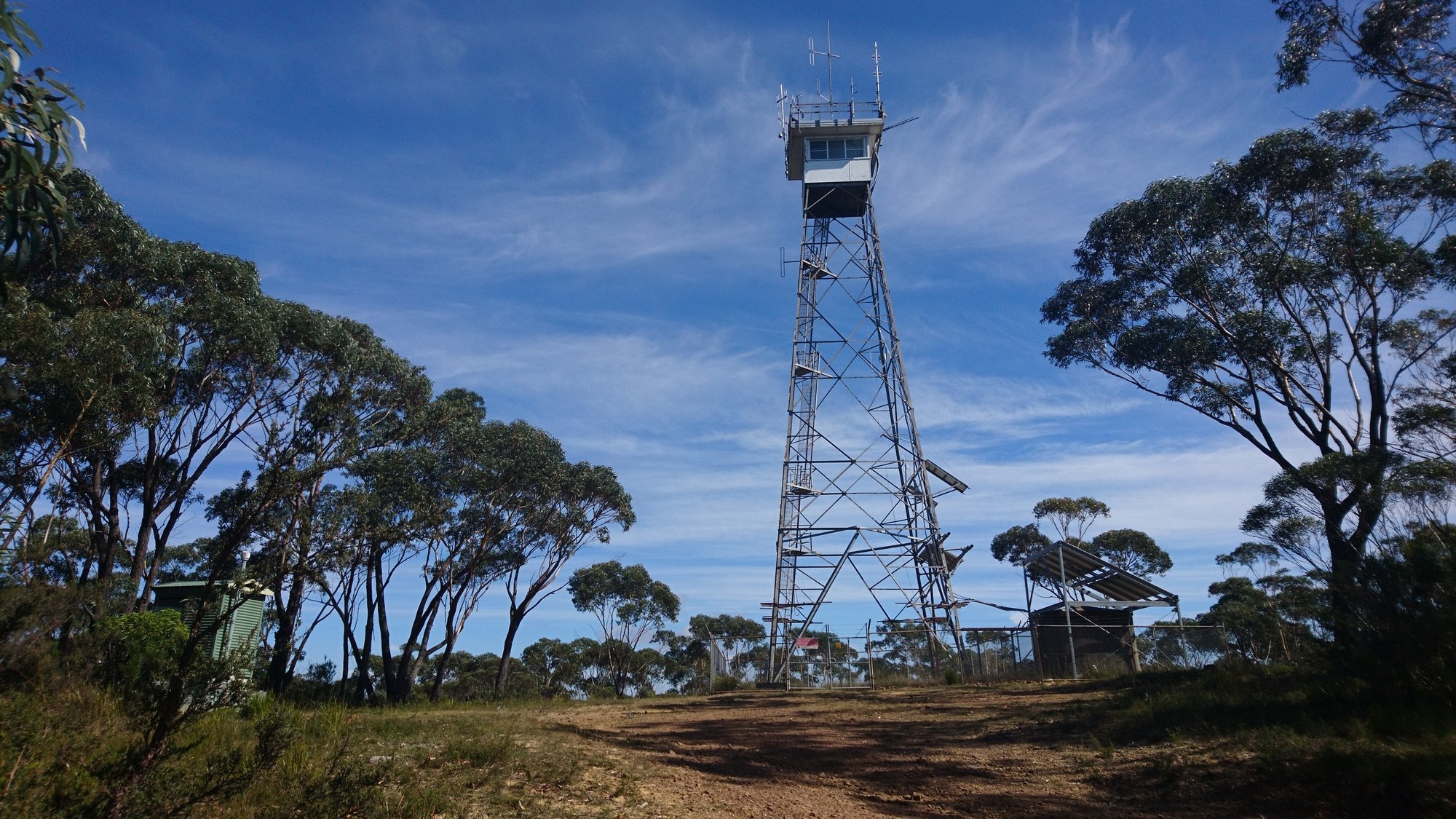
We met at the university at 07.00 and, after coffee and muffins in Katoomba, were walking down the Narrowneck firetrail at 09.15, with the Jamison Valley bathed in bright sunshine on one side and the Megalong Valley on the other. Sam set a cracking pace and we covered the first 7km to the firetower on Bushwalkers Hill by 10.45.
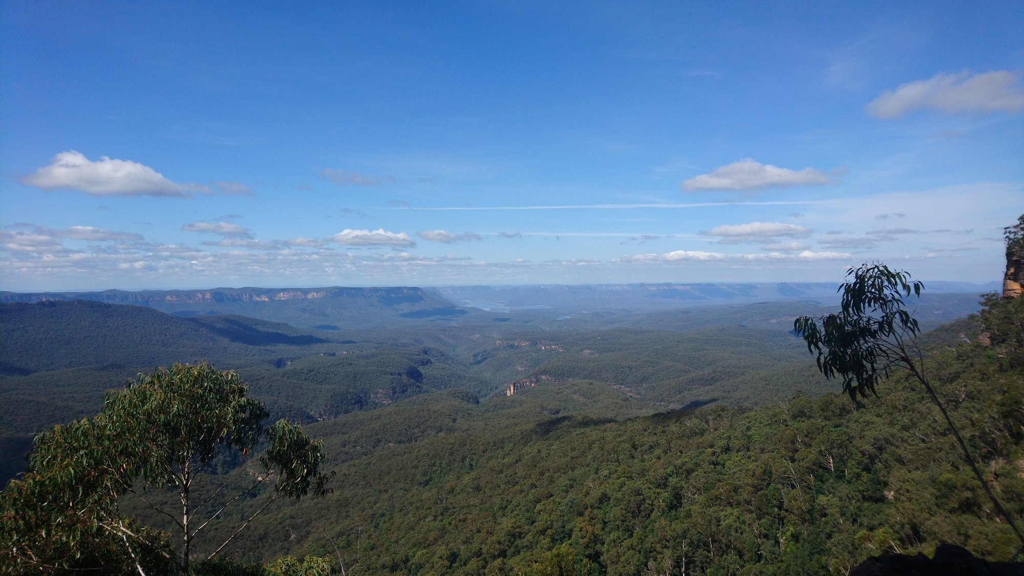
After a snack break we turned down the disused firetrail to Walls Pass. It’s easy to follow, and when it runs out there is a discernible track recently marked with pink surveying tape, so we were soon at the top of the pass, where we had great views out over Cedar Creek to the back of Mt Solitary and Lake Burragorang.
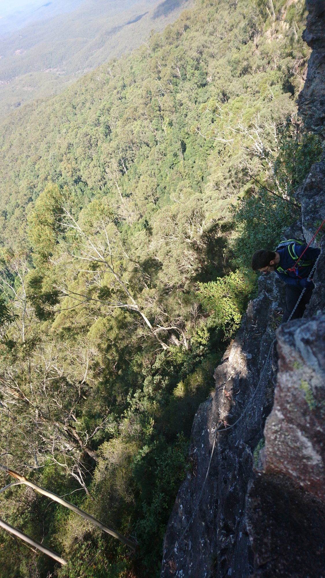
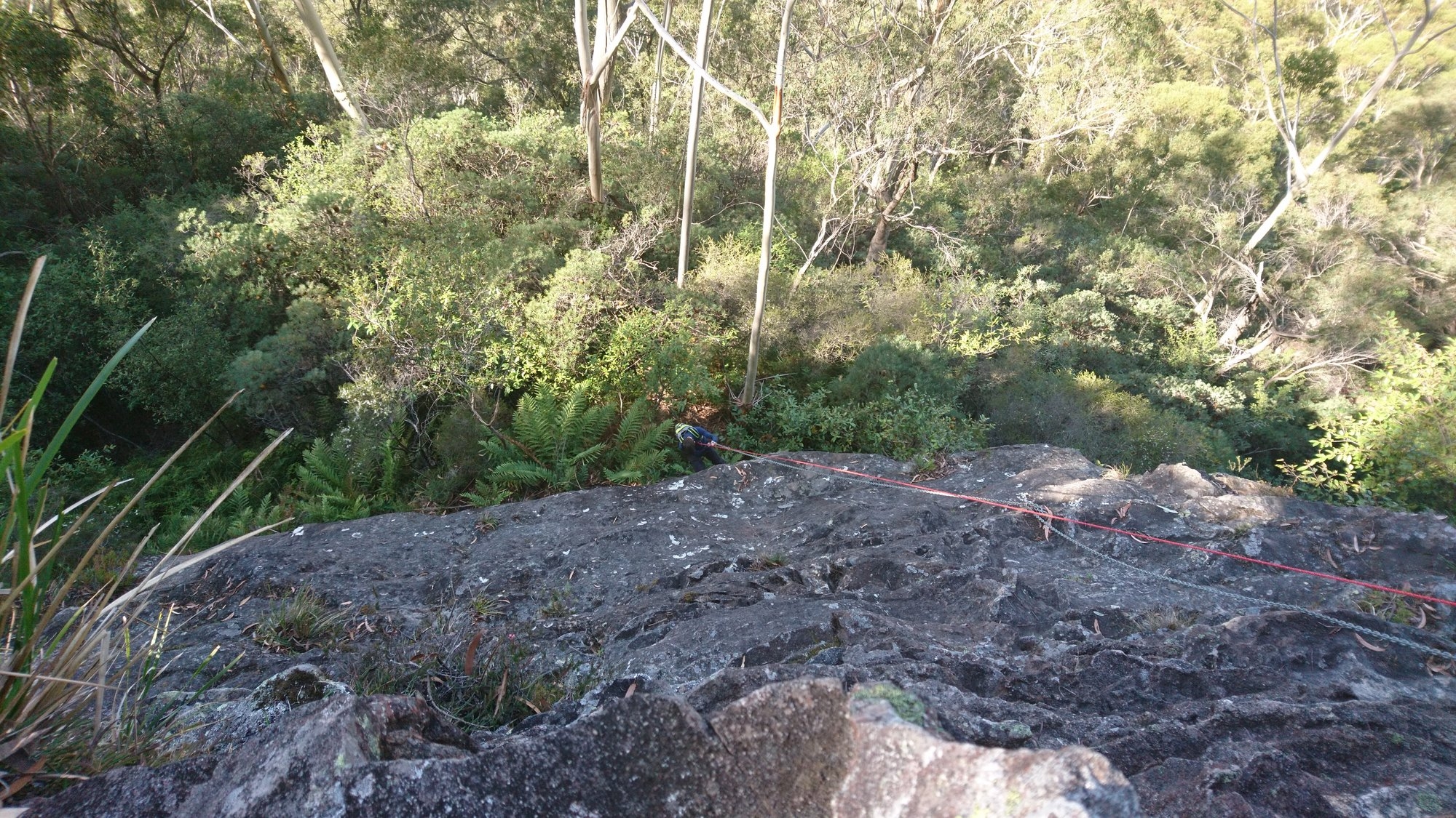
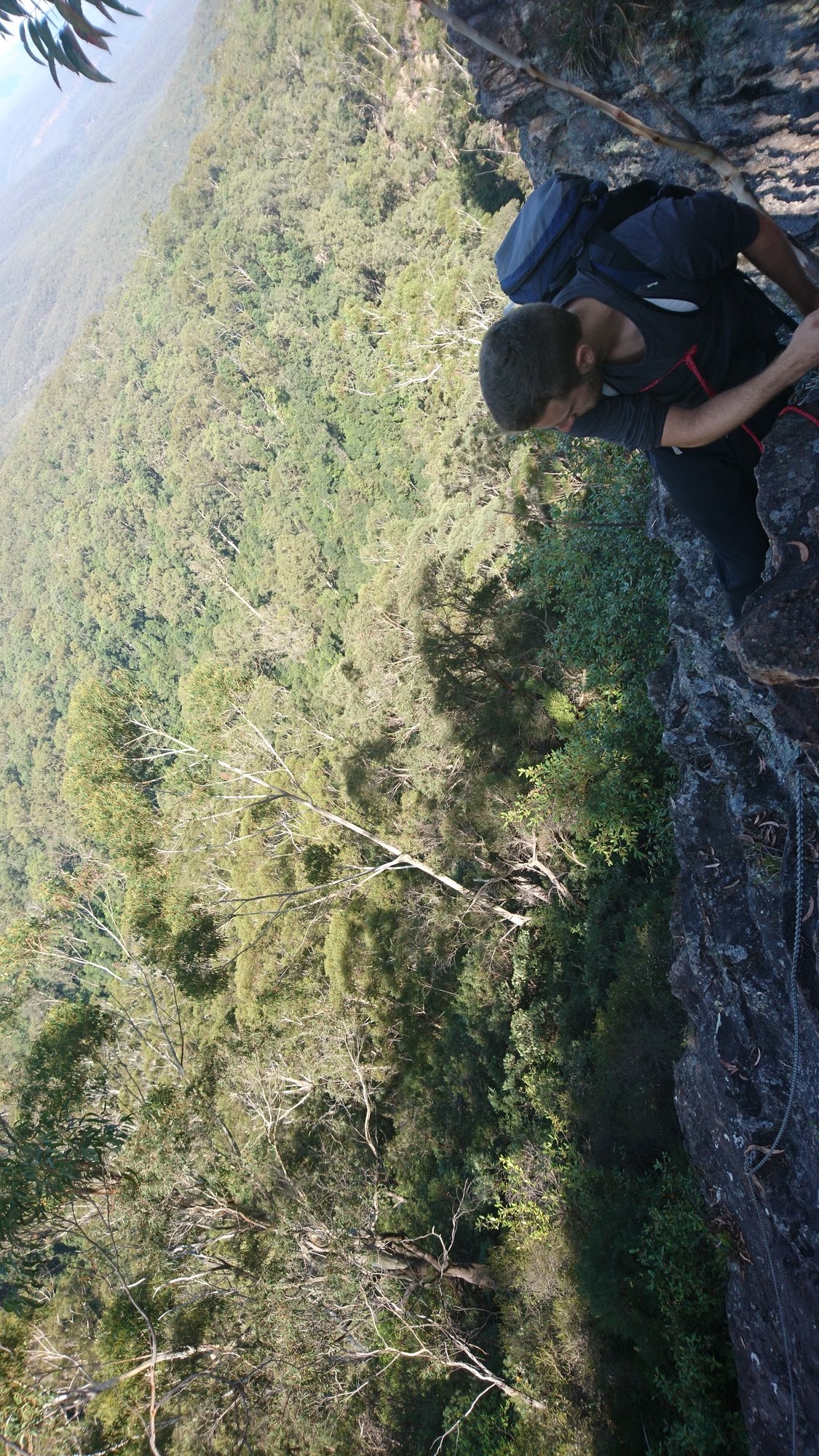
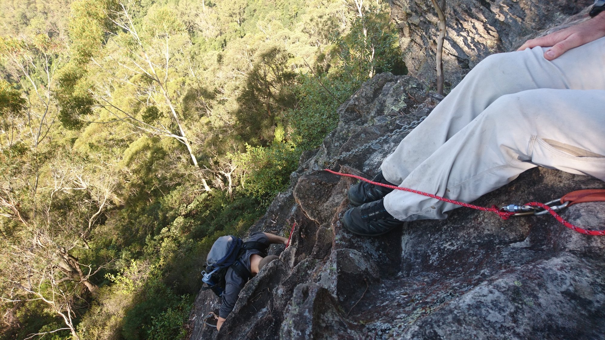
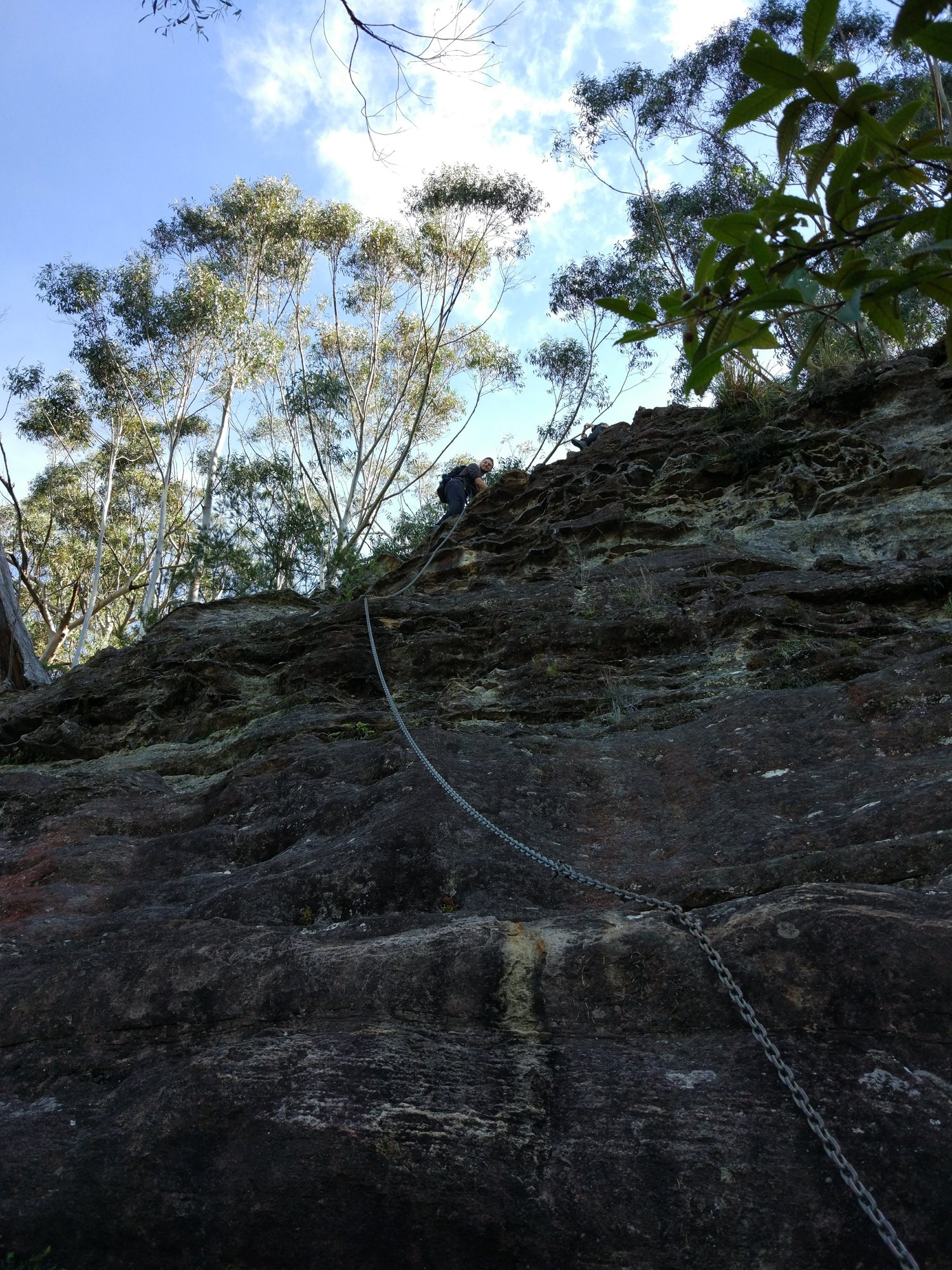
The Pass is a moderately demanding 15m climb with a chain installed to make it easier. We were carrying a handline, which we used to belay people with a munter hitch while they climbed down. By 12.30 we were all at the bottom of the pass and worked our way along to Cedar Head, then down through some tricky small cliff lines, stopping for lunch at 13.00 just below Cedar Head with magnificent views into the Jamison Valley.
Then followed the slowest portion of the walk, navigating the ill-defined ridges down to the pass into Cedar Creek. Going slowly with much checking of bearings we found ourselves above the creek just before 3.00 and stopped for a snack break before looking for the pass through the cliffs. We actually missed the walk-down pass, which we spotted later from the bottom, but found an easy enough spot to scramble into the creek using a handline.
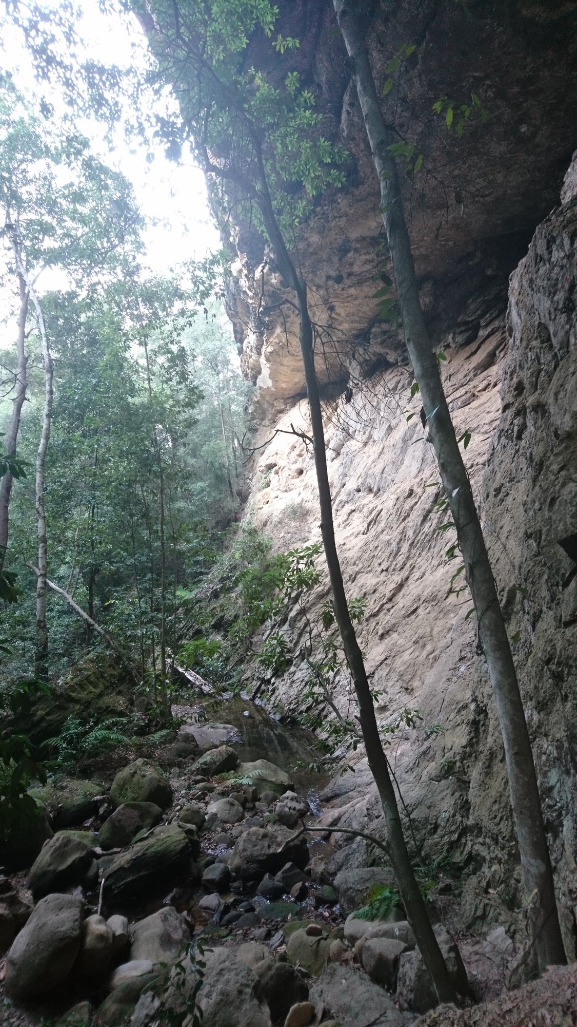
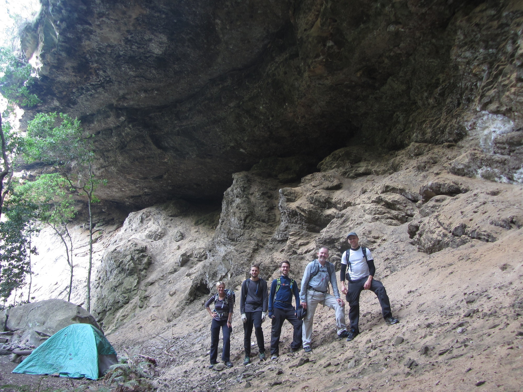
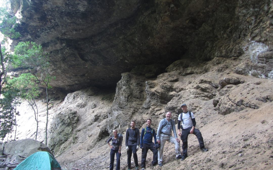
It’s a pretty creek, with crystal water and green, mossy boulders running between small cliffs. We had been anticipating leeches and lawyer vine on the scrambles in and out of the creek but saw only baby lawyer vine shoots and not a single leech – perhaps because it has been a very dry year. A few meters downstream we found the magnificent camping overhang, made a less attractive overnight destination by the presence of a wild person of the woods who has been living out there, as we had been forewarned. He or she was not at home, but does seem to have been in residence recently.
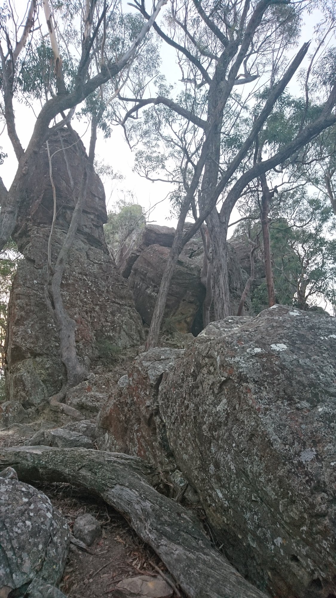
It was now 16.00 and time to get a move on. We refilled our water bottles and headed up the very steep slope to the north. Our destination, the Ruined Castle and the tourist track home is 380m above the creek, so we were expecting a big climb, but with Sam once again setting a cracking pace we did it in exactly an hour, albeit with me the colour of beetroot when we reached the top! It’s a straightforward route using knolls and saddles, and the bush is extremely open, so easy, if steep, walking.
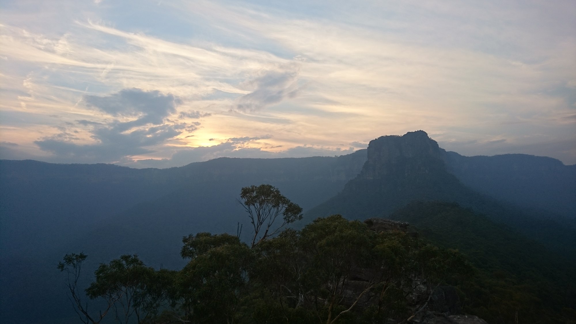
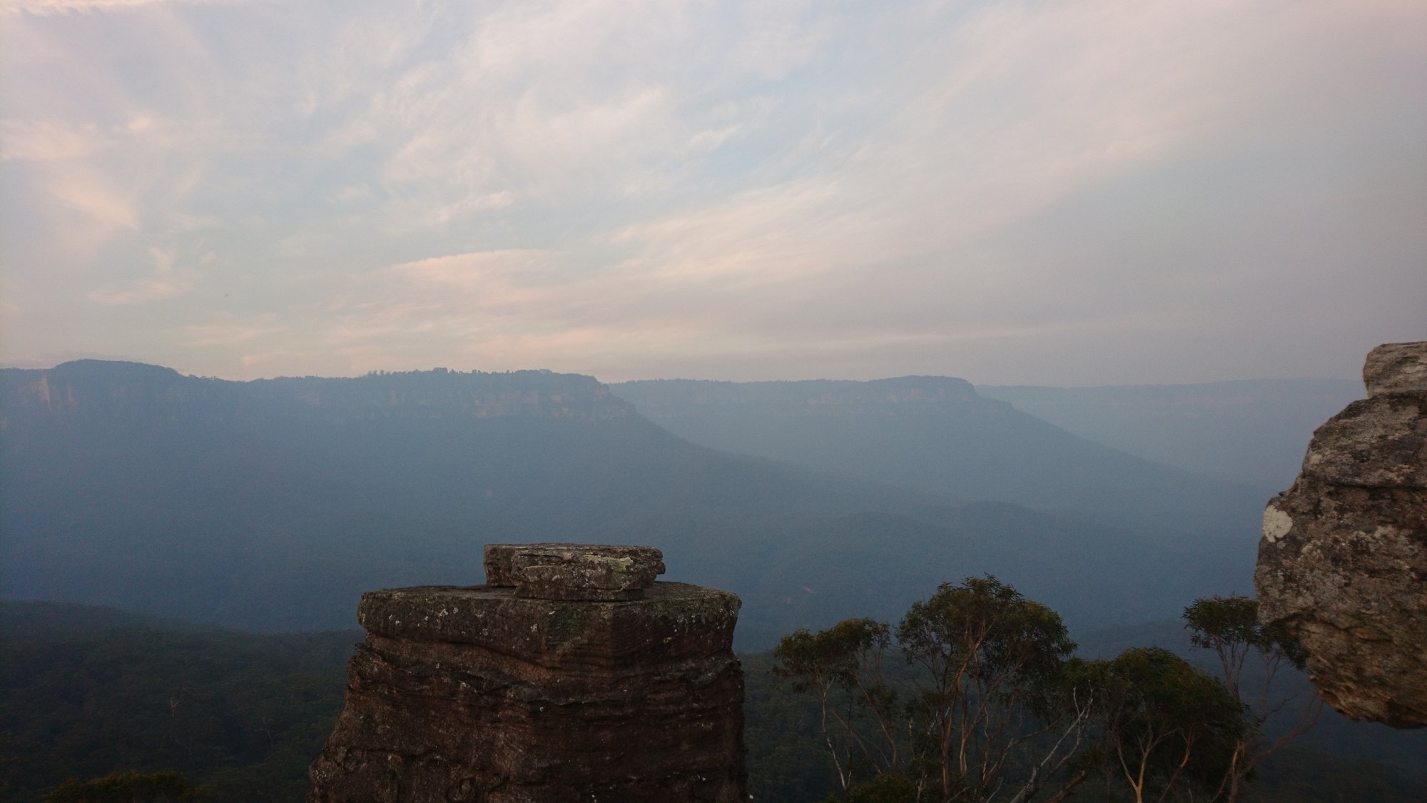
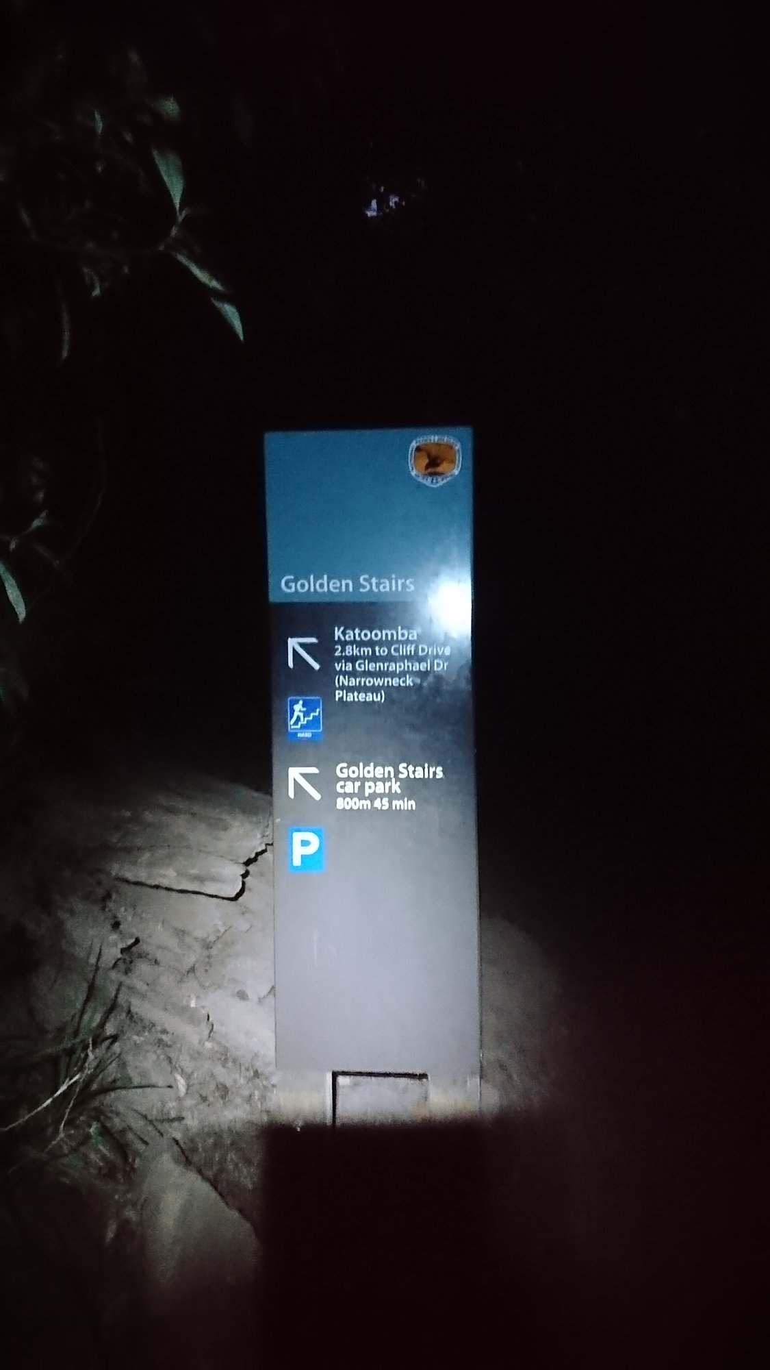
A big bushfire was burning far away to the south, and the Jamison Valley was filled with smoke, making for an interesting sunset. After enjoying the views from the top of Ruined Castle rocks we walked back down the tourist track in the twilight, disturbing roosting birds and foraging small animals. At the bottom of the steep pull up the Golden Stairs we gave in and turned on our headtorches. I gave Sam the car keys and she sprinted ahead to walk the extra 800m back to the car and bring it to the top of the stairs just as the last of us arrived at 18.30.