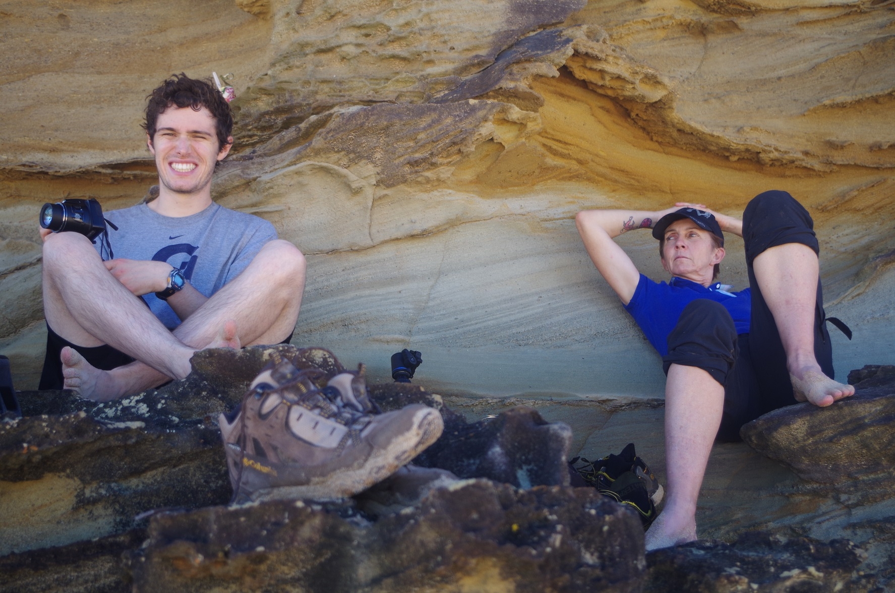
Walkers: Bruce (leading), Sophia, Nolan, Zi Hui, Victoria, Michael C, Xiang (Skylar), Leonardo, Merridy, Julia S., Cathie, Rebecca P.
Date: 9/4/2017
After receiving advice several weeks ago from Alex Allchin that the Metropolitan Tunnel was flooded due to the constant heavy rain in March, which caused a date change for this walk, I decided that a pre-walk reconnaissance of the tunnel was advisable.
Therefore on the Thursday (6th April) before the walk, I went to Helensburgh and found that the flooding in the tunnel had hardly receded. I also walked along the Burgh Track (and on the way looked at some of the side tracks) and checked the crossing of the Hacking River, which needs to be forded if walking The Burgh Track to Burning Palms. The river was passable, but a German hiker who had just crossed it told me he had to walk in knee-deep water to do it. I reasoned then that if there was no more rain between Thursday and the walk day (and there wasn’t), the river should be just OK for our shorter members to cross. On the way back I timed how long it would take to walk back at normal speed from Hacking River to Helensburgh Station, and it was 55 minutes (actually I did it in 50 minutes as I did a bit of a jog along the level section. Well, City2Surf is coming up in August and a bit of practice doesn’t hurt!). I didn’t take note of the distance, and I wish I had due to subsequent events (see later on).
With 20 minutes to spare before the next City-bound train, I looked at a side track off Wilson’s Creek Road which just appears to go to a view point. It was on that track where I must have acquired the only leech, and even then it didn’t latch on to me as I saw it drop off my leg after I was on the train. No evidence of a bite. I quickly caught it to avoid alarming other passengers, and wrapped it up, and later did a “show and tell” with it at PUBW later that afternoon!
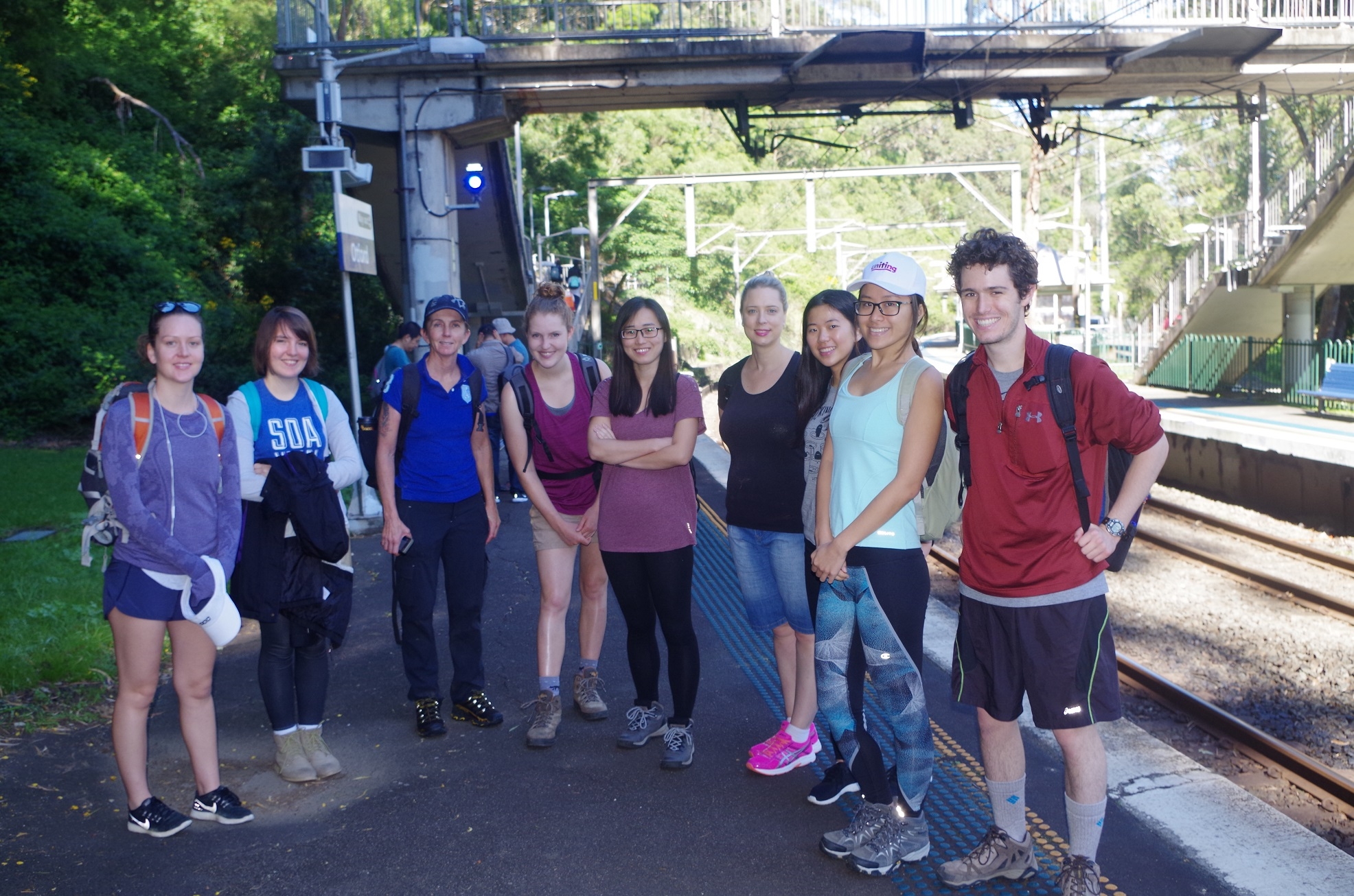
Anyway, due to Metropolitan Tunnel being a non-starter, I decided that the walk should be done in reverse: Otford to Helensburgh Station. Helensburgh has a train every hour whereas Otford only every 2 hours. So on Sunday morning I collected most of the walkers at Central with a couple more getting on at Redfern, Hurstville, and Sutherland. The original list of 22 had been whittled down to 12, with 10 dropping out in the 3 days prior due to assignments due, ill health, or other commitments.
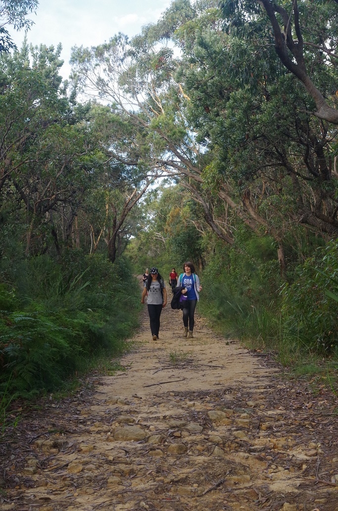
From Otford Station we set off up the hill on the steepest part of the whole walk until reaching the Otford Pie Shop which now has new owners. Some of us got coffee and others used the loo. I notice that the cafe now have USB charge points fore mobile phone – handy for the end of a walk. The coffee break also served to put some distance between us and the horde of tourists who had also got off the train, heading for Figure 8 Pool.
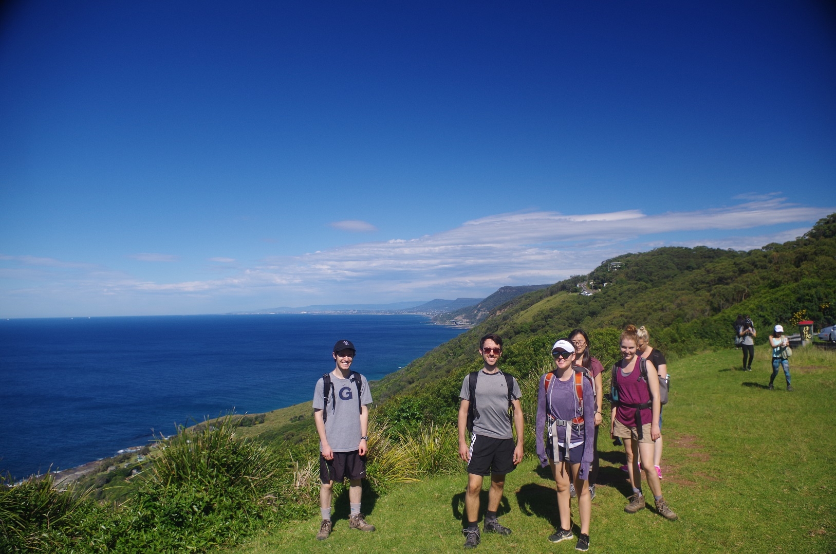
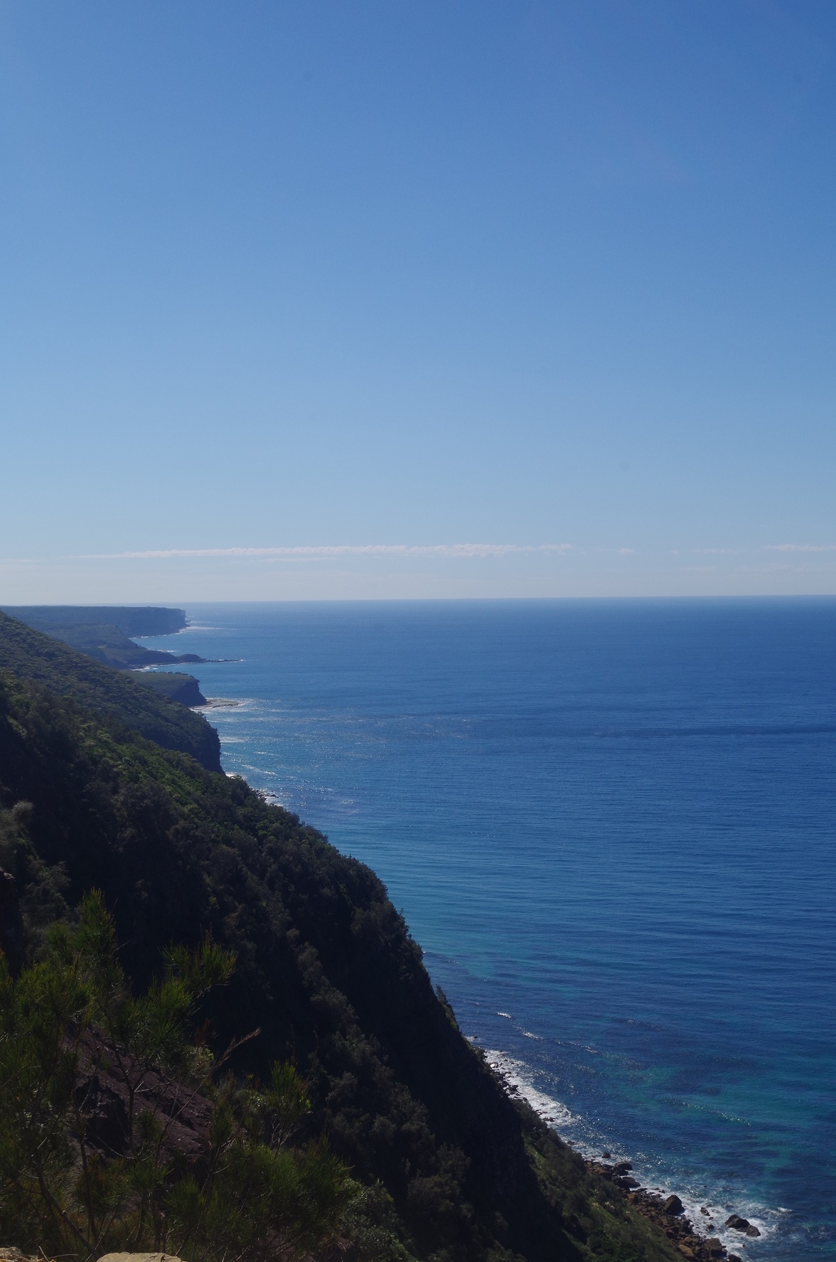
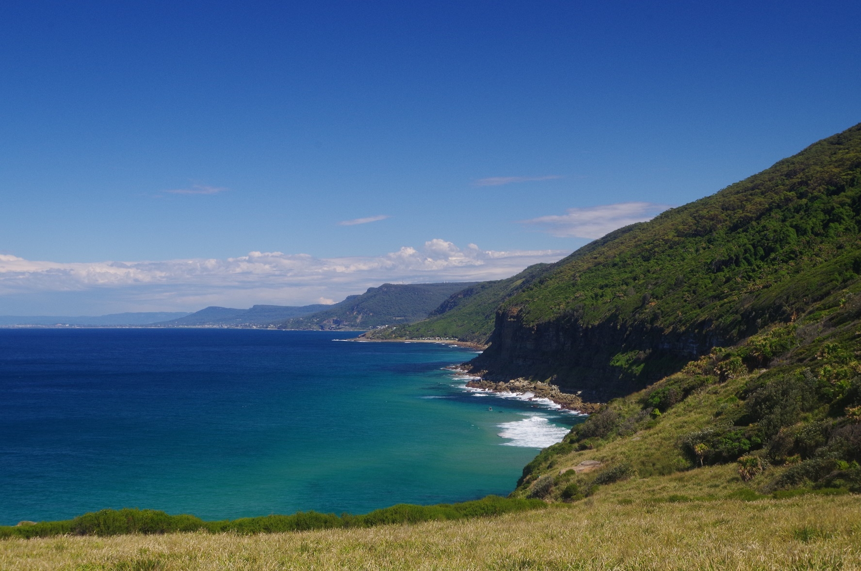
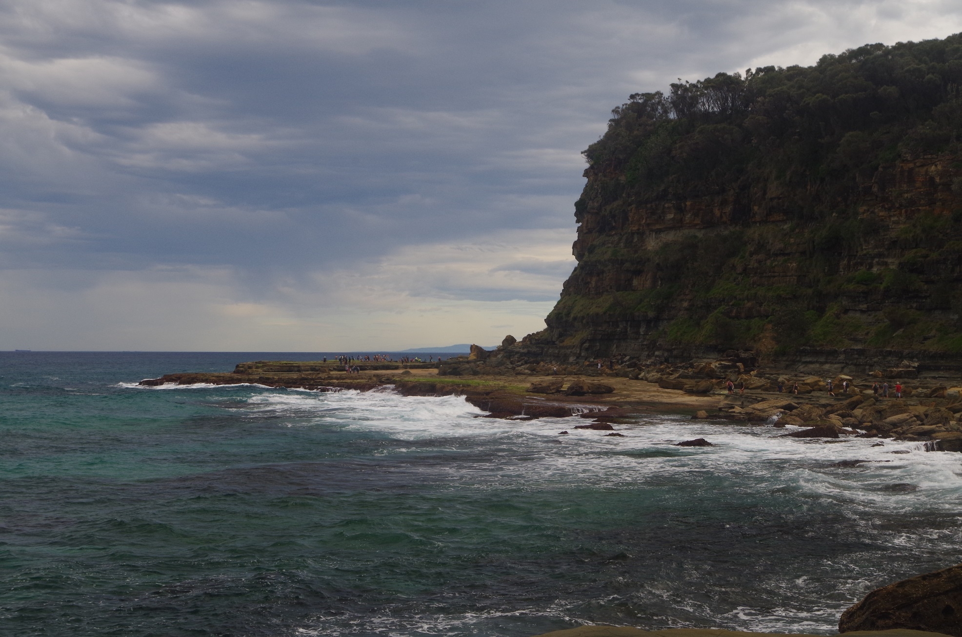
Then it was a road bash to Otford Lookout where we had a great clear view south along the Illawarra Escarpment as far as Wollongong.
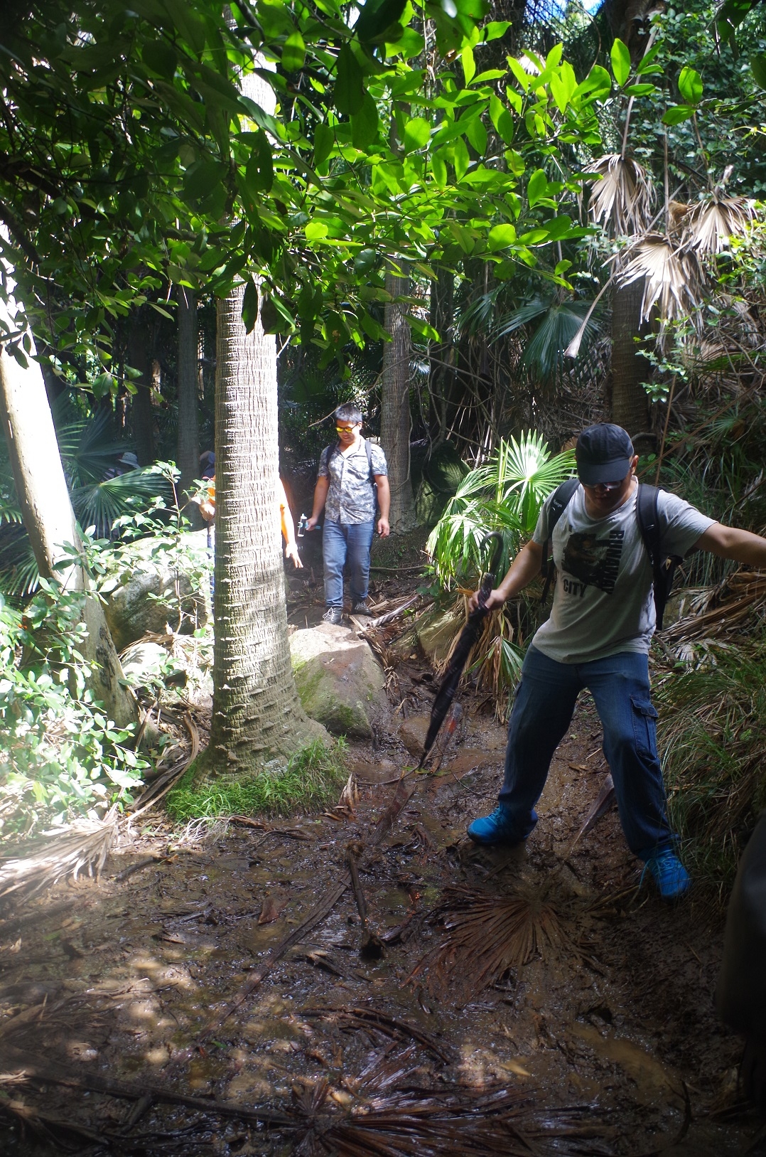
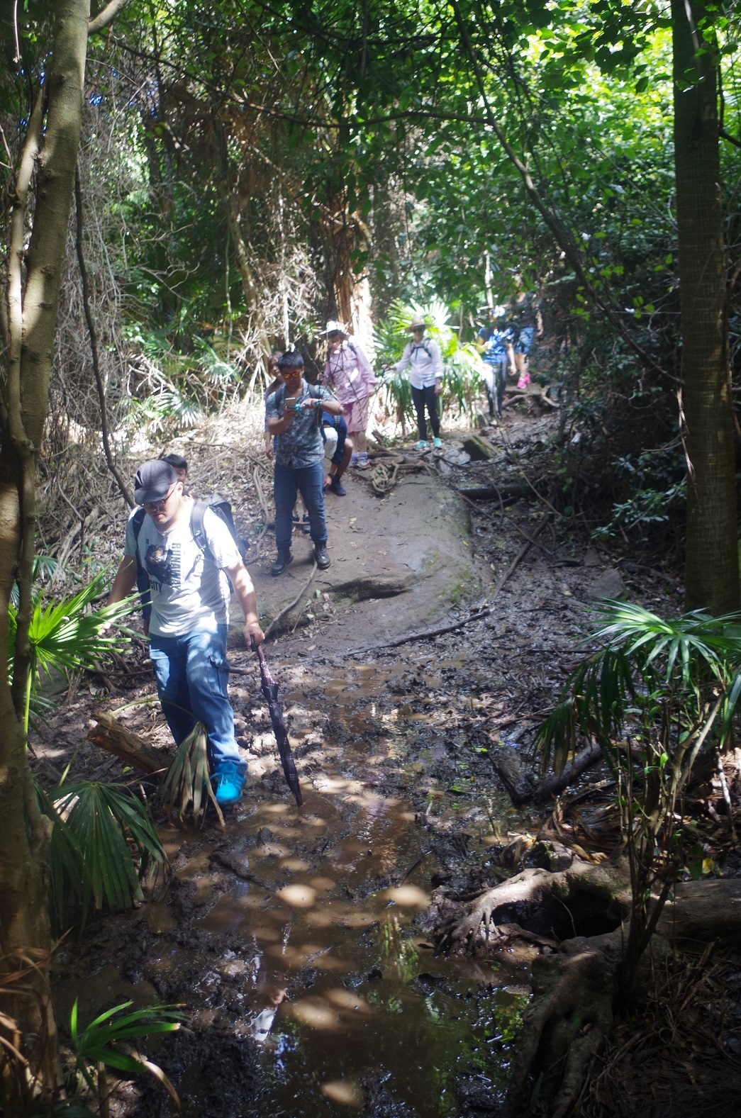
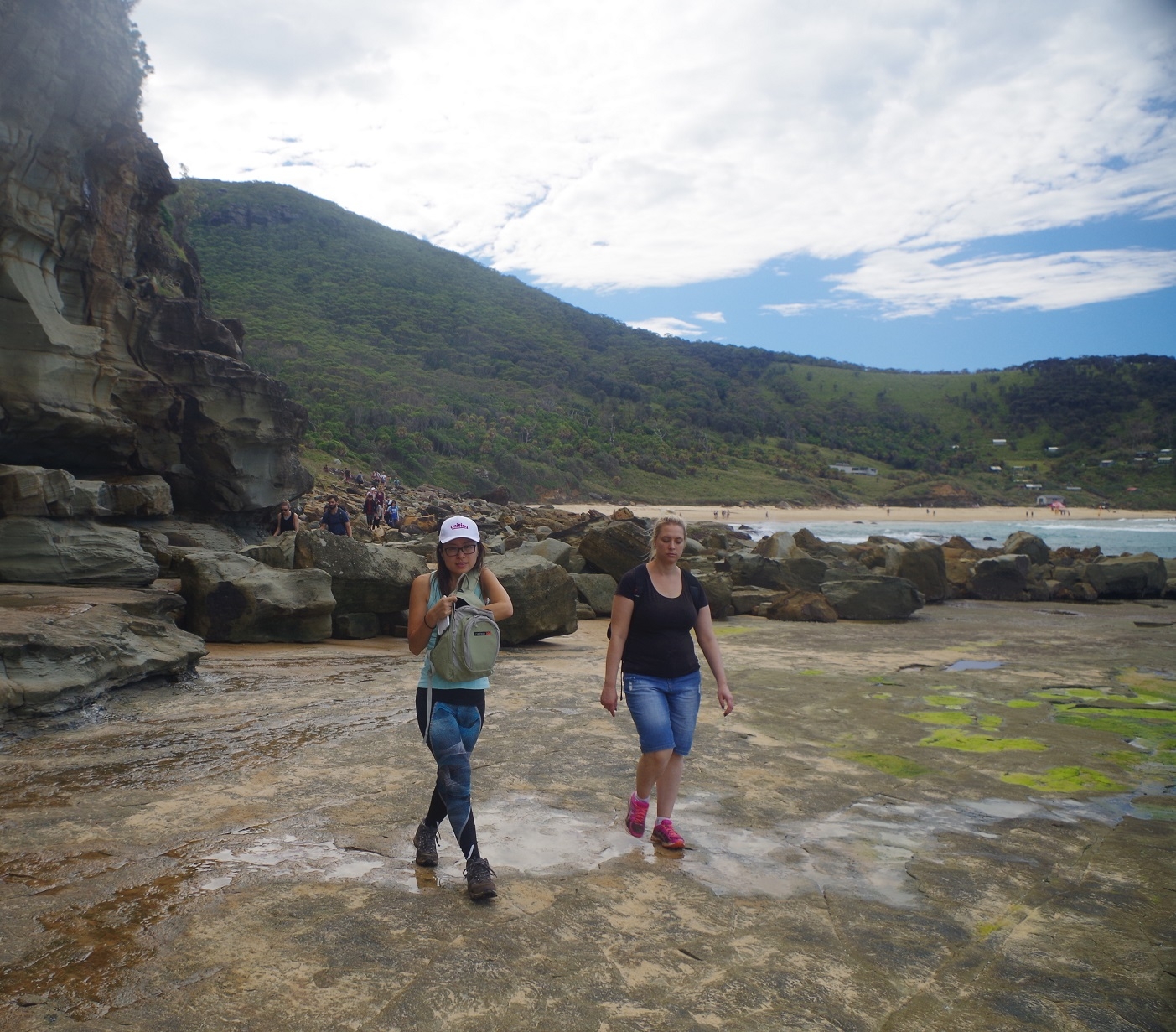
Then it was along The Cliff Track until its junction with The Coast Track. This dropped down on an initially easy track, at one point passing some tourists having a rest near a watercourse – not a good idea unless you like leeches. Then it wasn’t too long until we entered Palm Jungle and caught up with tourists having a hard time dealing with the slippery muddy track there (see photos). Until recently, the track was not normally that muddy except right after heavy rain. Unfortunately the recent popularity of Figure 8 Pool means that there has been a great increase in foot traffic, resulting in quagmires and some damage to the track.
Suddenly, Palm Jungle ends, and the boardwalk track over the Lomandra starts. I noted that NPWS has now put up a sign warning that a former “shortcut” there – once used to access Figure 8 Pool – is not safe, so don’t use it! The book “Bushwalks in the Sydney Region Vol 2 (1998 edition) mentions this shortcut, but that information is now out of date.
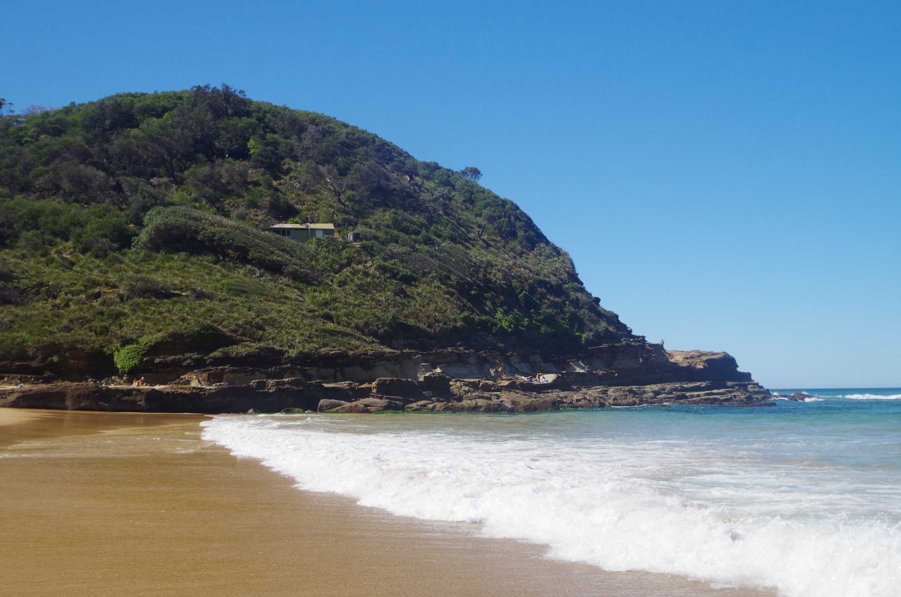
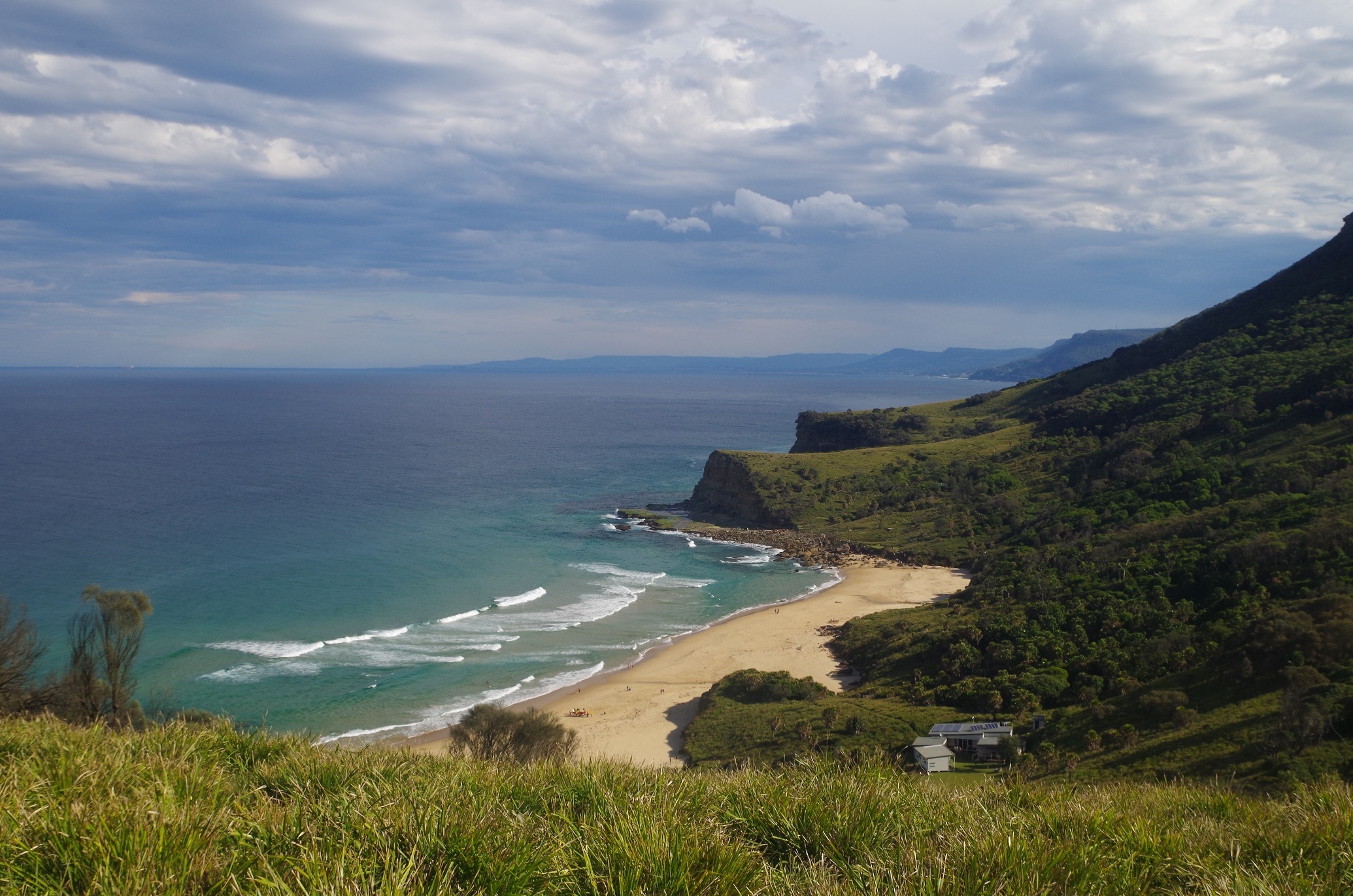
The boardwalk, constructed over the past 2 years to bypass a deeply eroded section of the Coast Track through the Lomandra, is largely complete now as far as the southern entrance to Burning Palms Beach. The boardwalk itself provides great views back along the Illawarra Escarpment. The side track to the beach is quite short bit a bit rough.
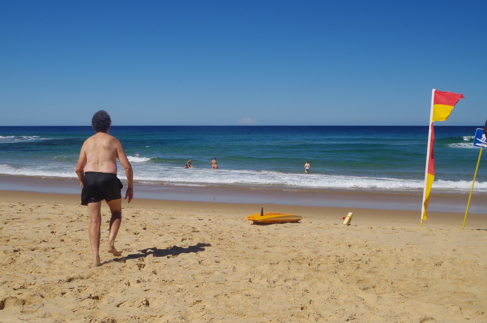
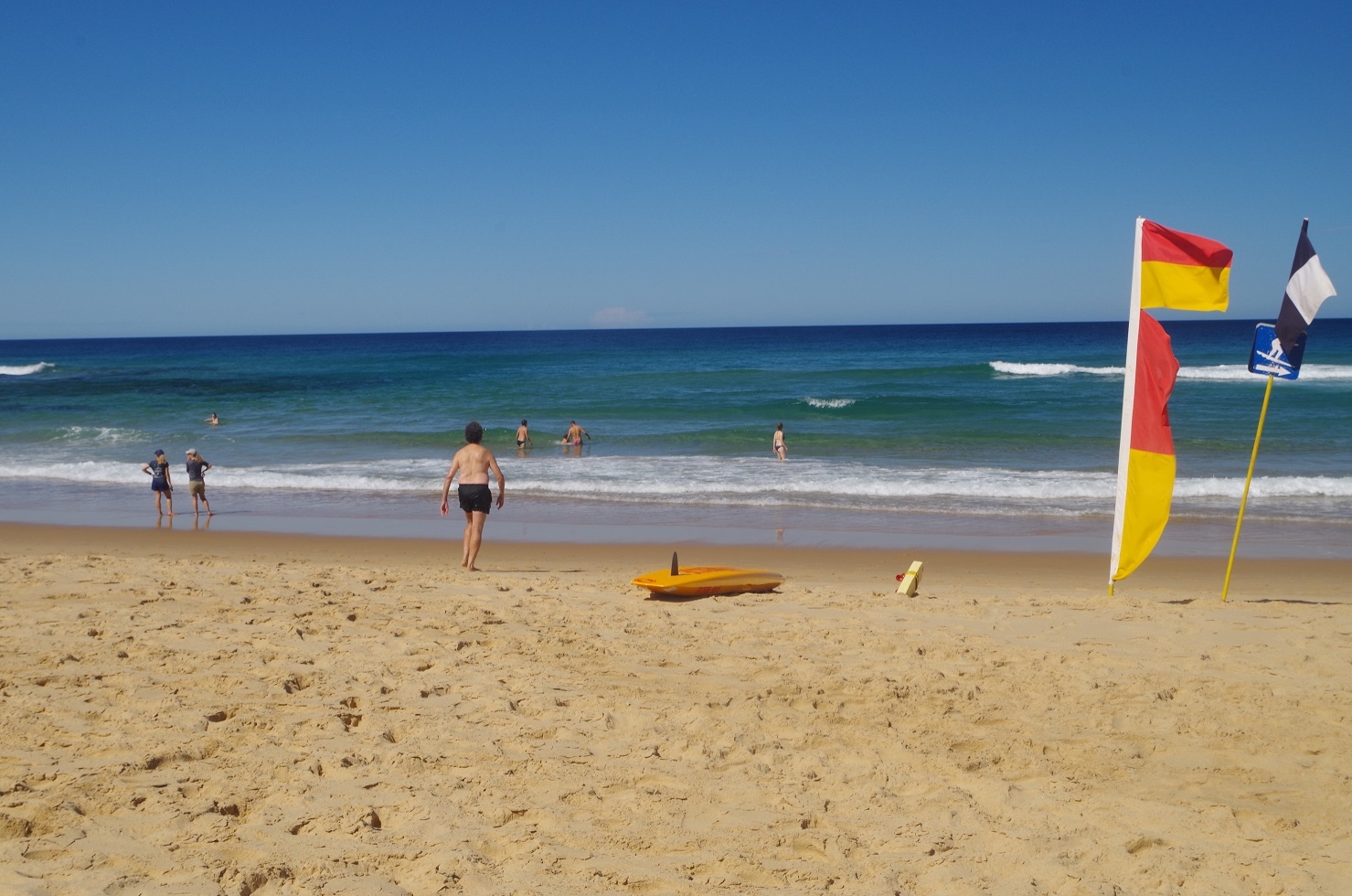
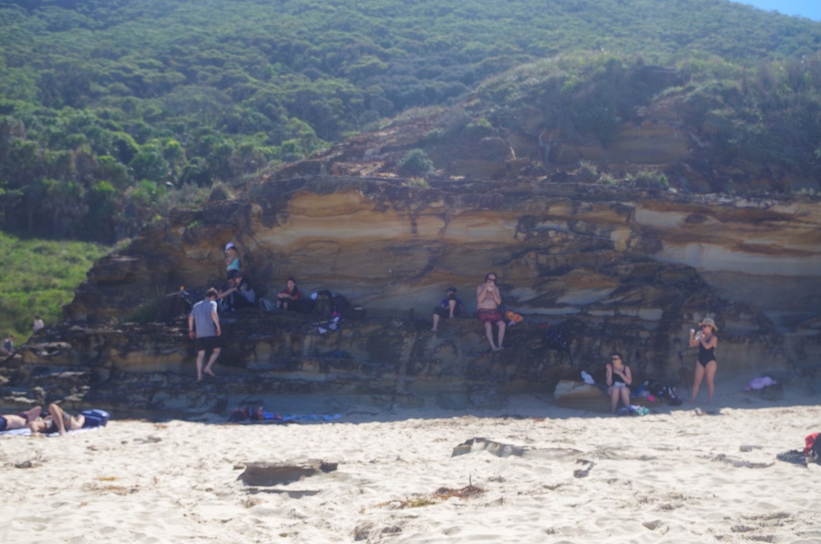
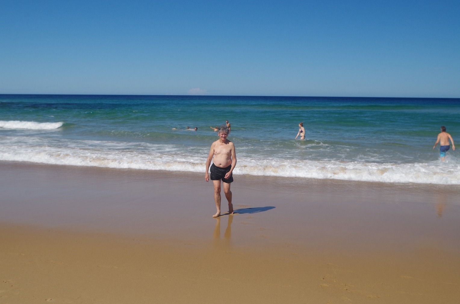
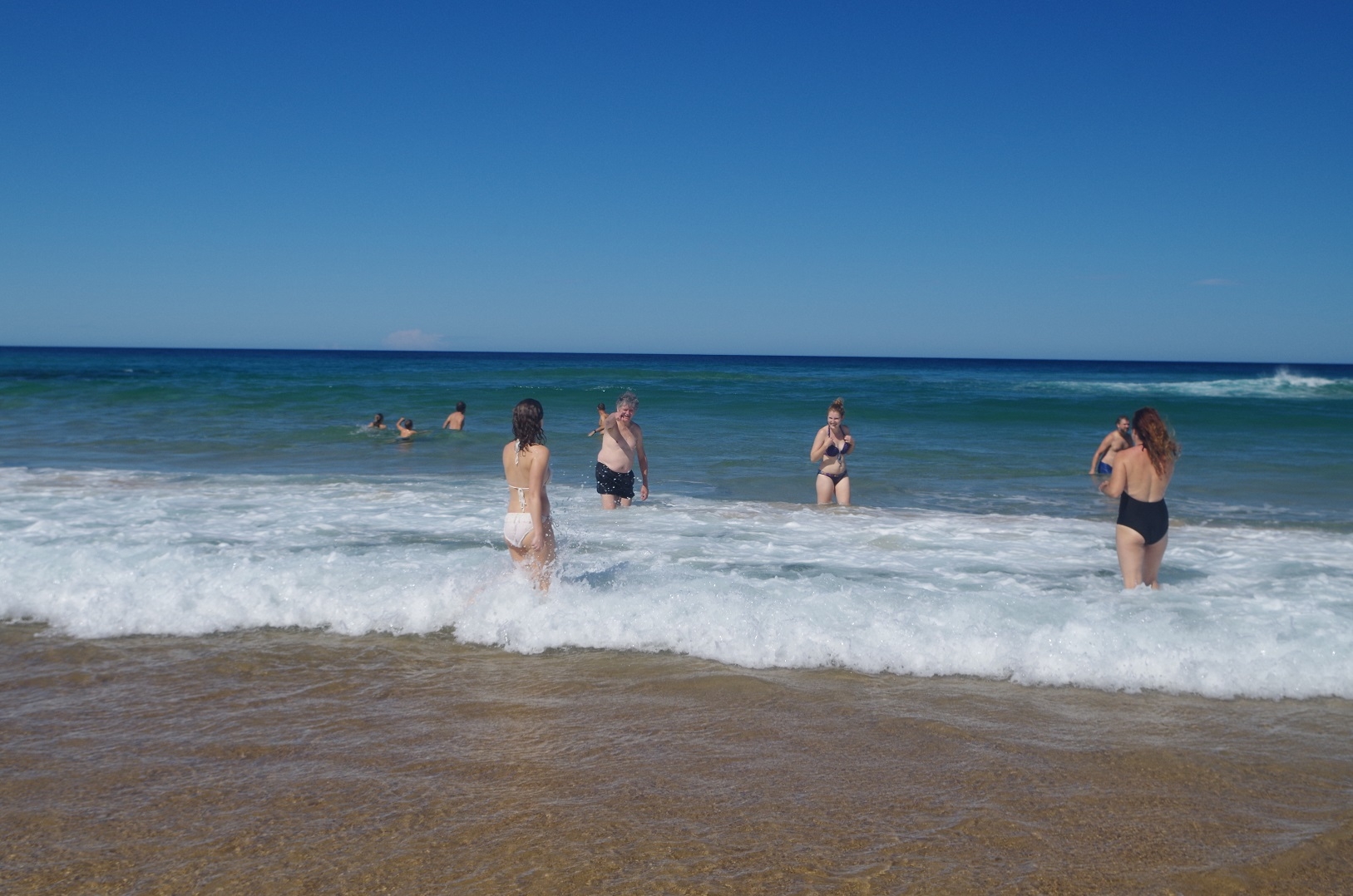
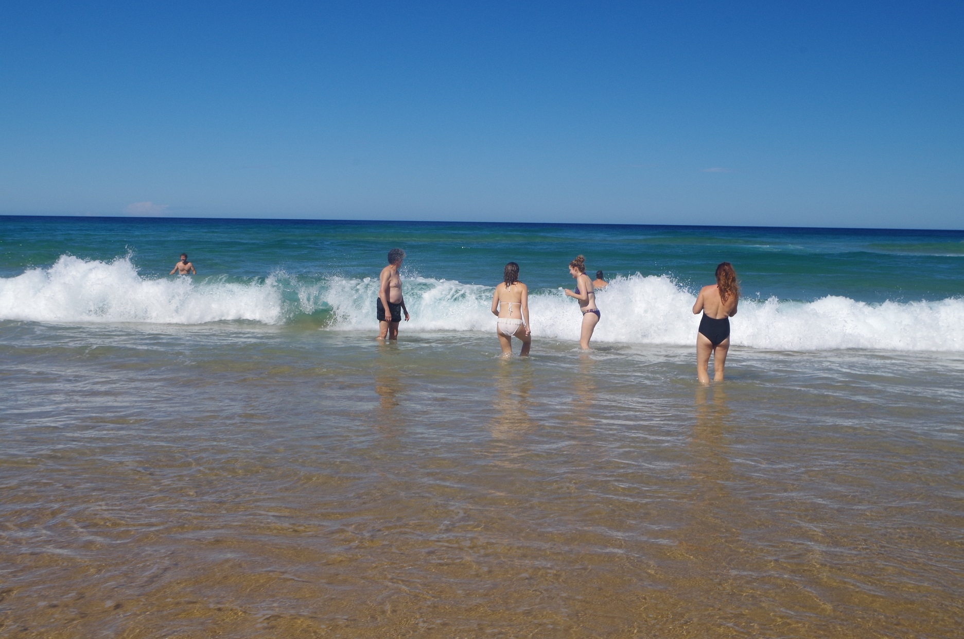
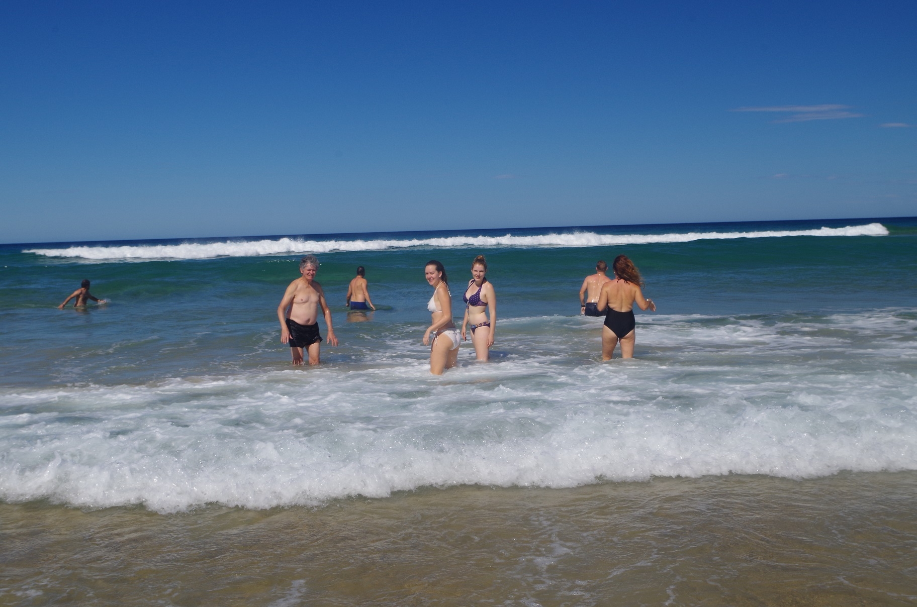
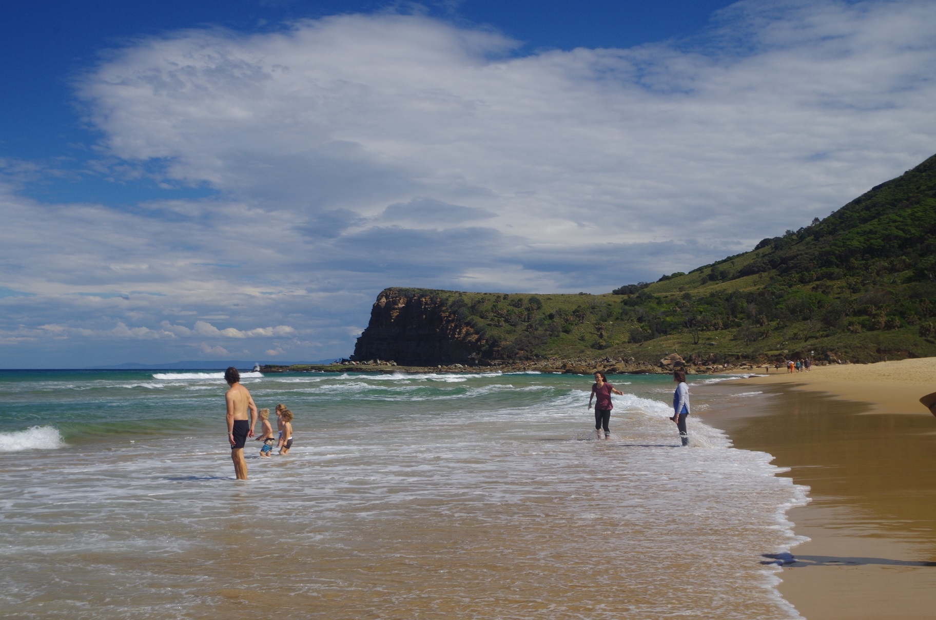
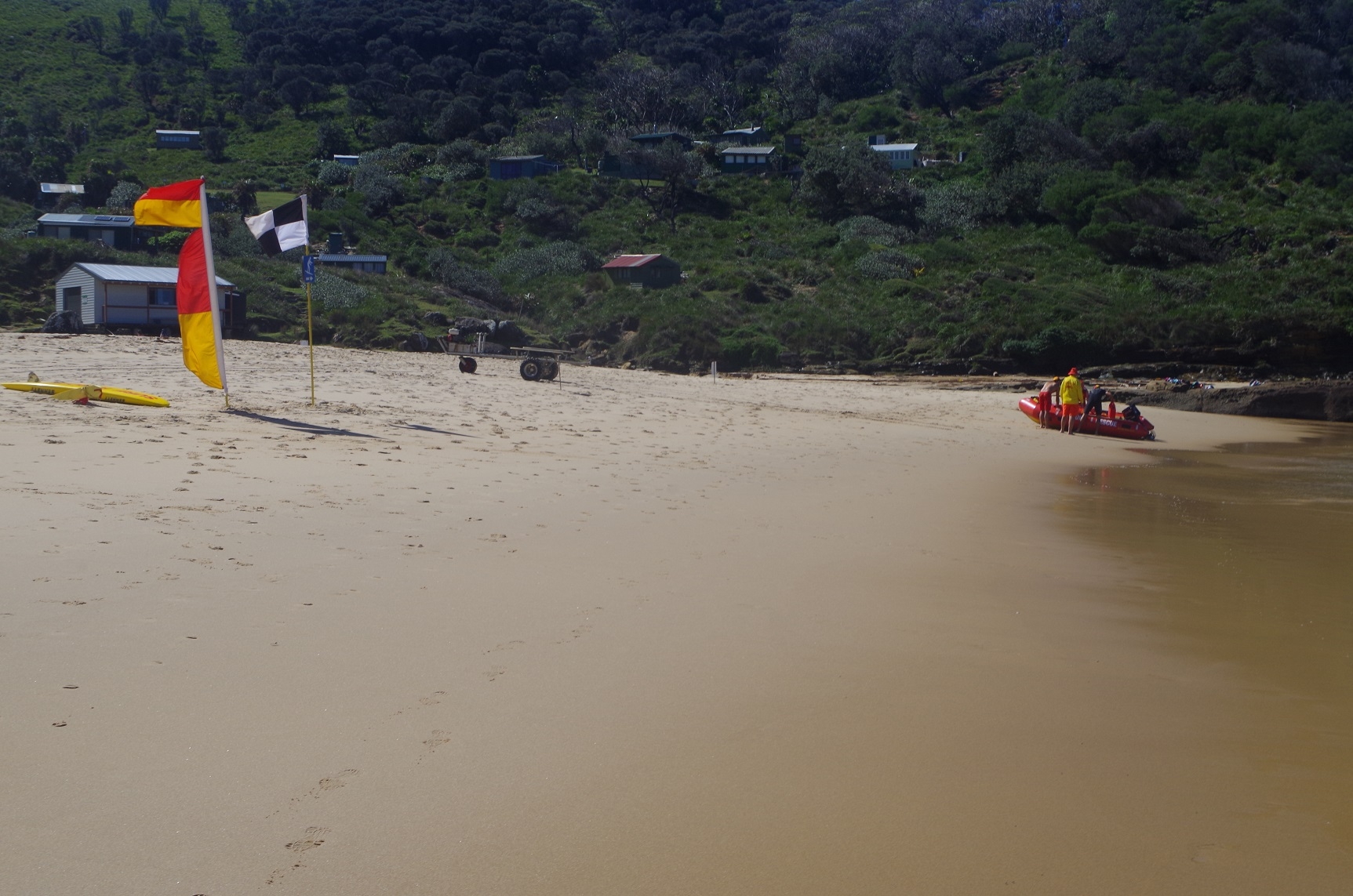
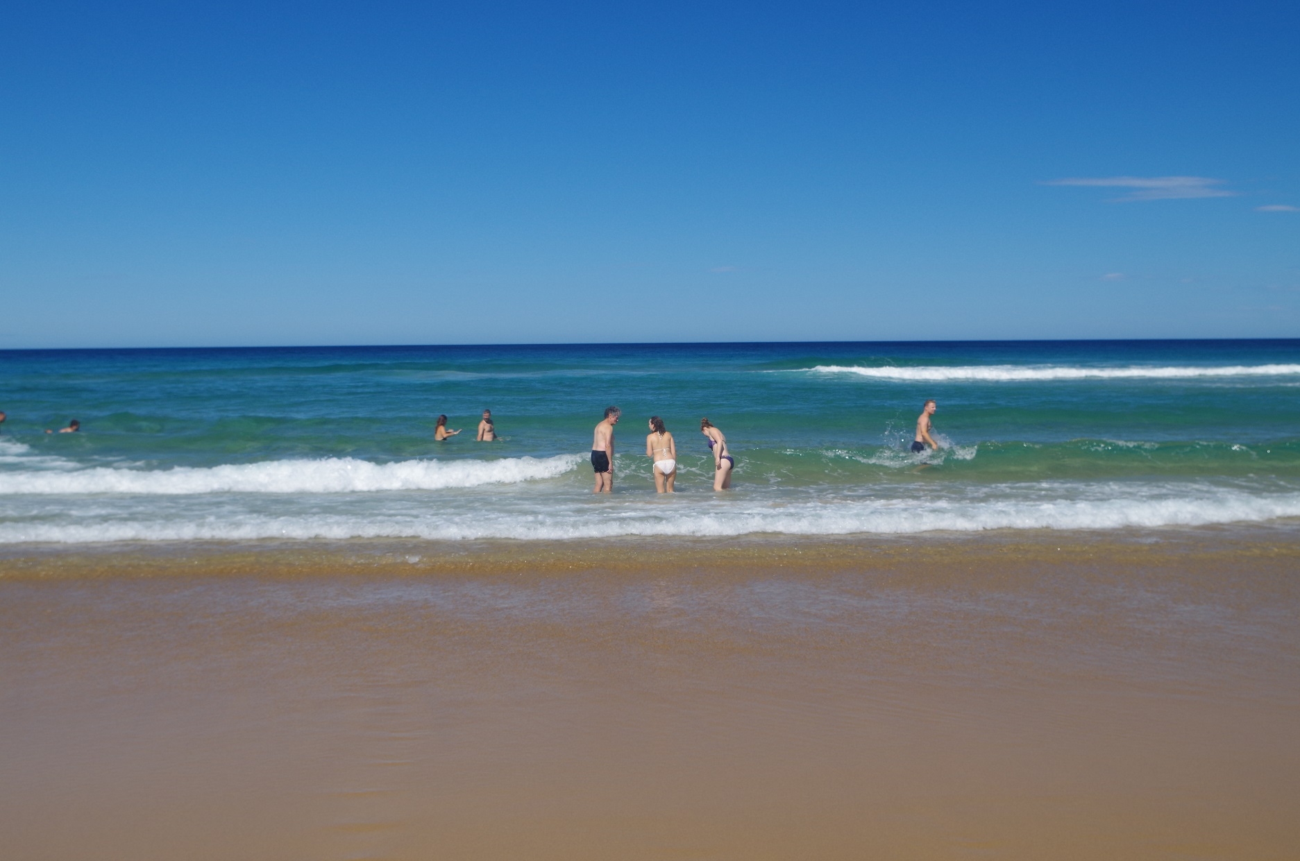
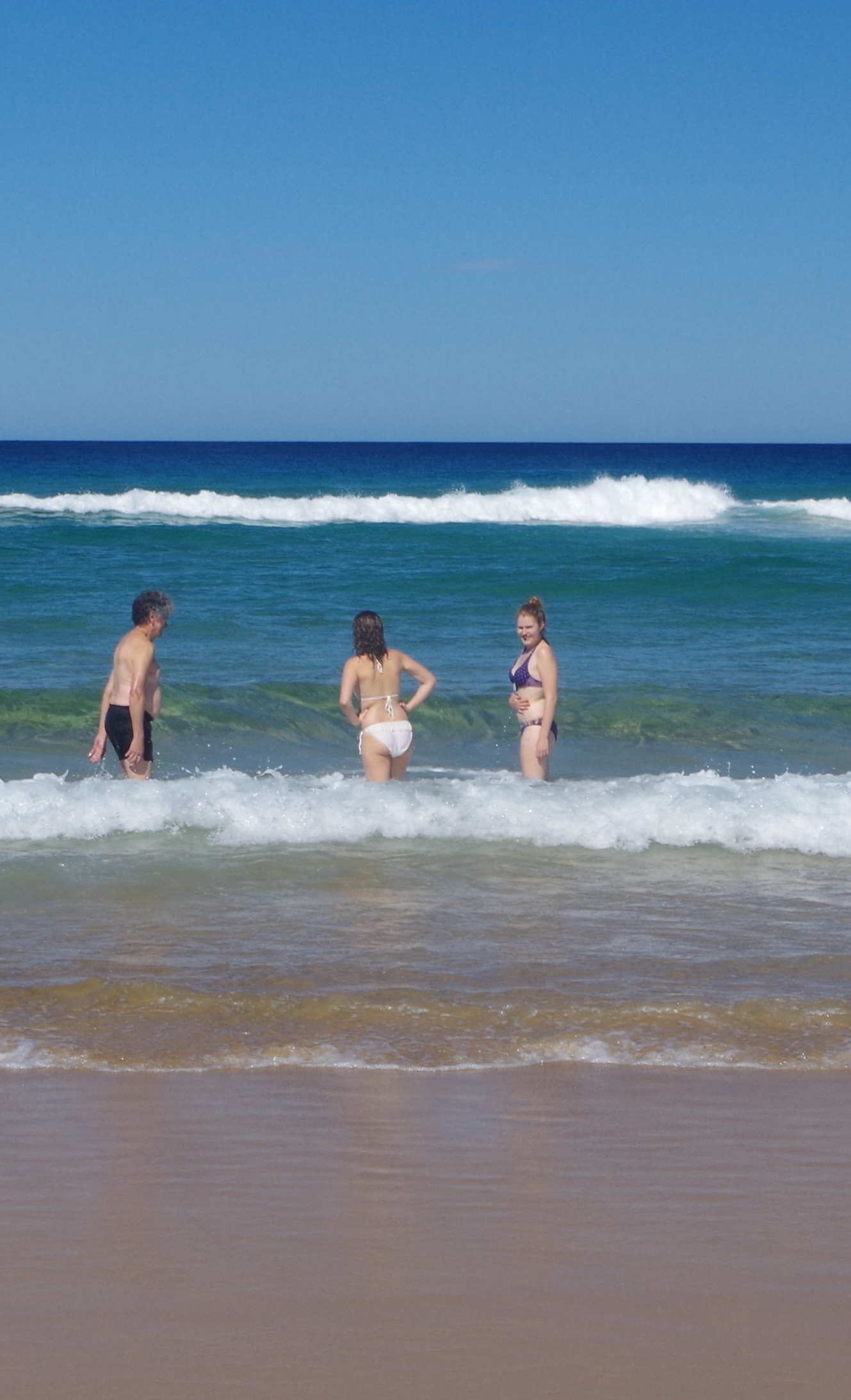
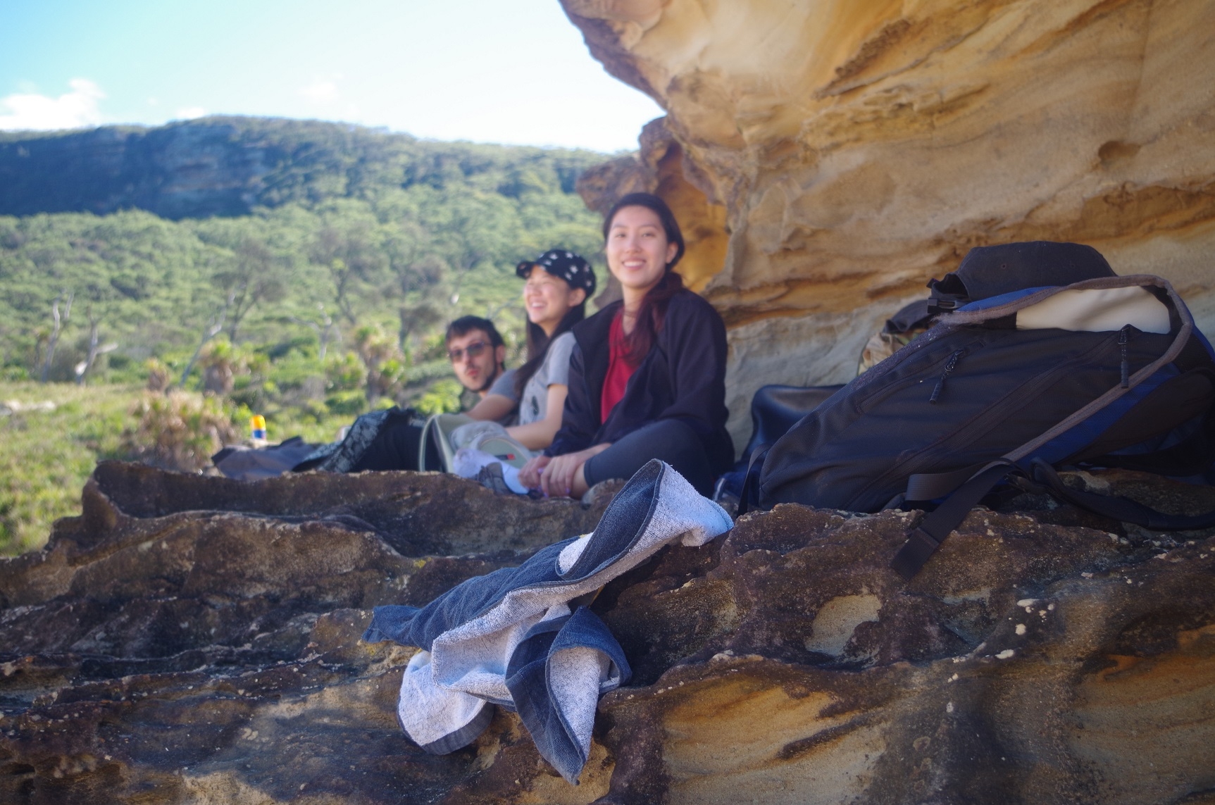
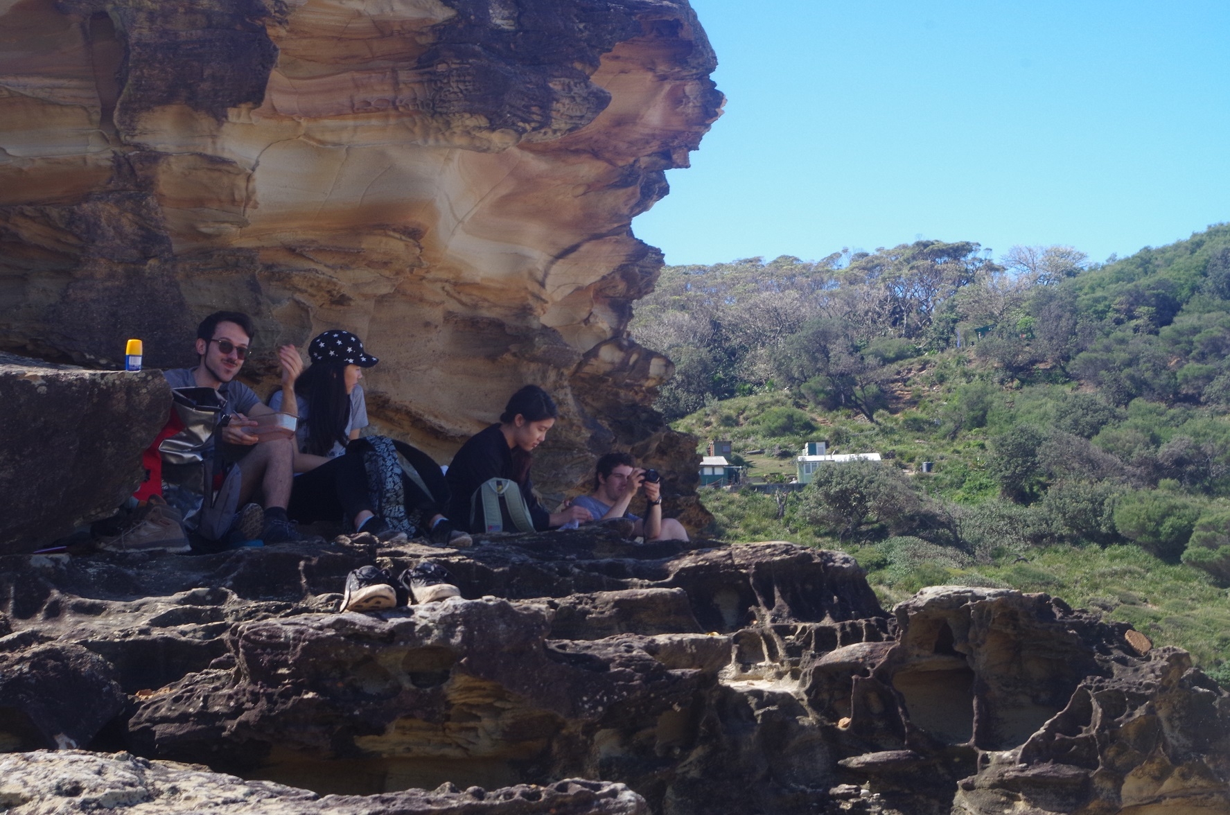
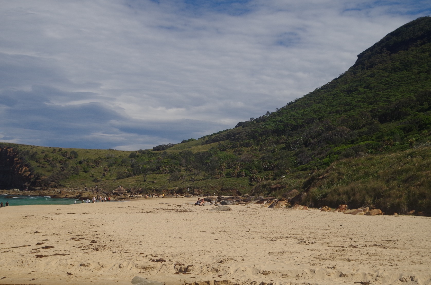
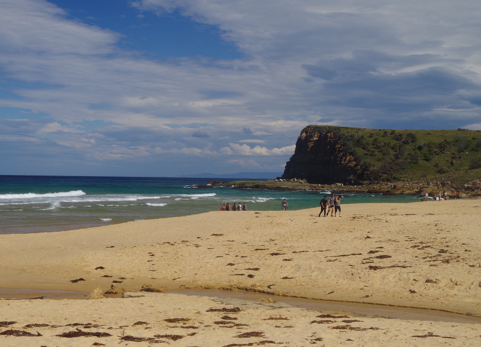
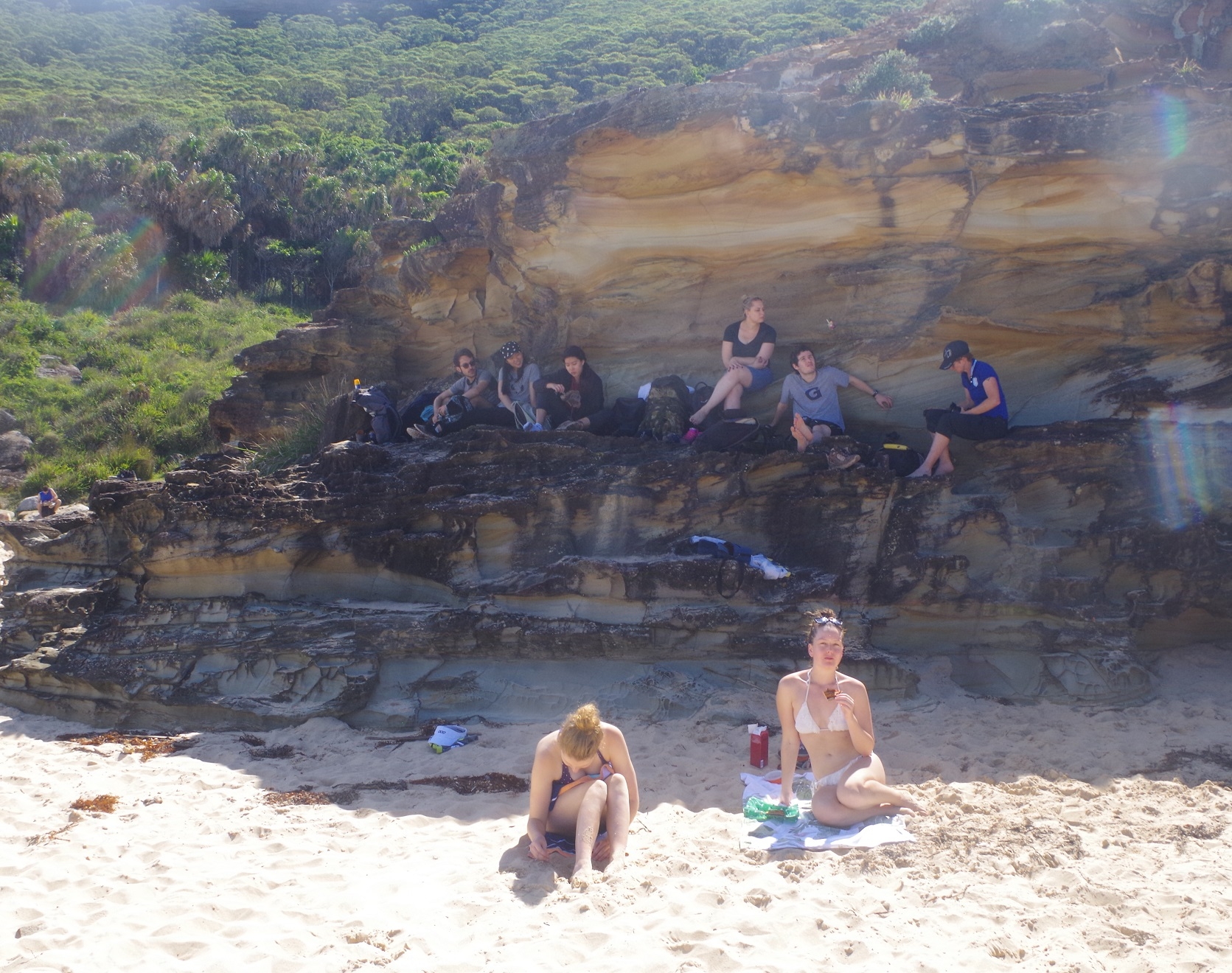
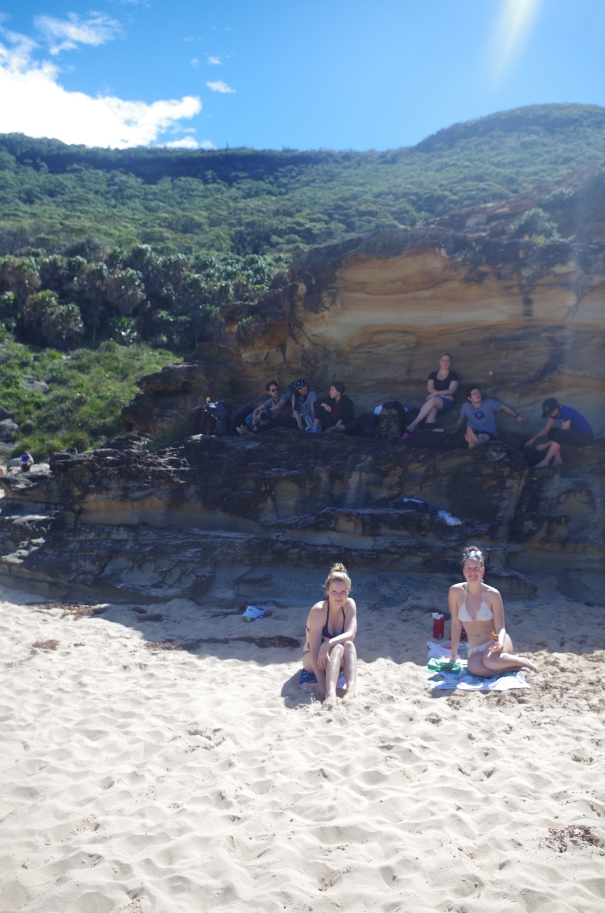
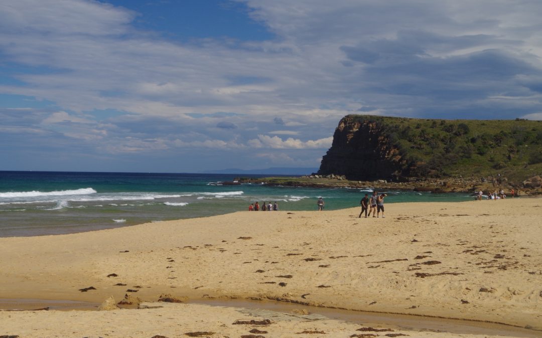
So we entered the beach and walked along to the patrolled section where we settled on a rocky outcrop for lunch. Some of us had a swim as well (see photos by Cathie – within my link).
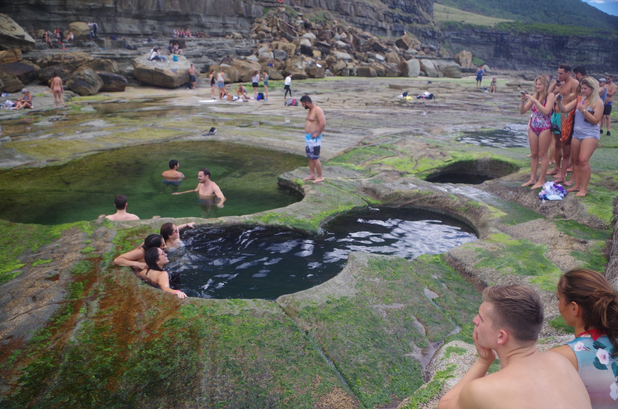
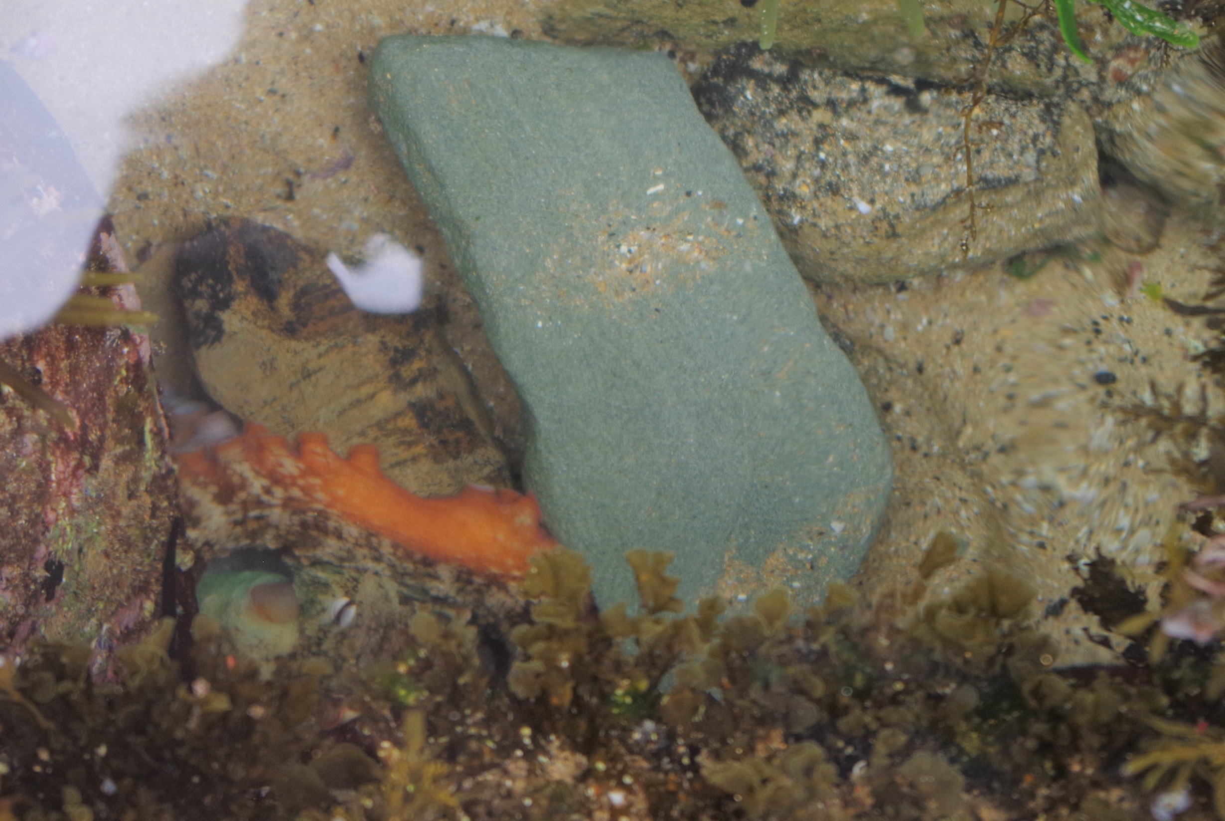
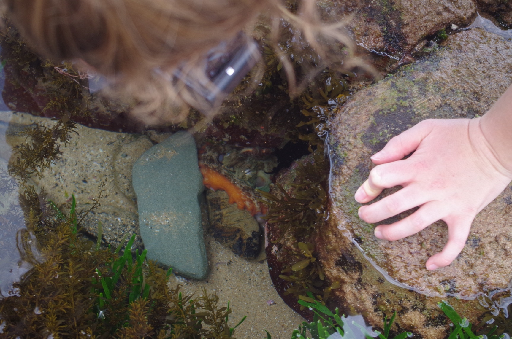
After lunch and the swim we headed off towards Figure 8 Pool which is 900 metres further south. Some of our group were very keen to see it, and it was for them the highlight of the walk. A lot of rock hopping is required to get there. Despite this, there were a lot of tourists heading there, to join the throng already there! Some were in picnic groups, with food and accompanying music, and others were getting themselves photographed in the many pools (of which Figure 8 is just one). Indeed a couple of girls (not of our group) asked me to take their photo in the Pool. I advised our group not to go too close to the seaward edge of the rock platform, otherwise Figure 8 Pool might become Figure 4 Pool – “4” symbolising death in Chinese. At one small pool some people had found a small Octopus (see photo) and I feared for its safety. Too many readily accessible rock platforms around Sydney have been plundered for sea life in recent years. Also, I think it is only a matter of time before someone somewhere picks up a pretty little Octopus flashing bright blue rings, which in fact is more venomous than many of our snakes (https://en.wikipedia.org/wiki/Blue-ringed_octopus).
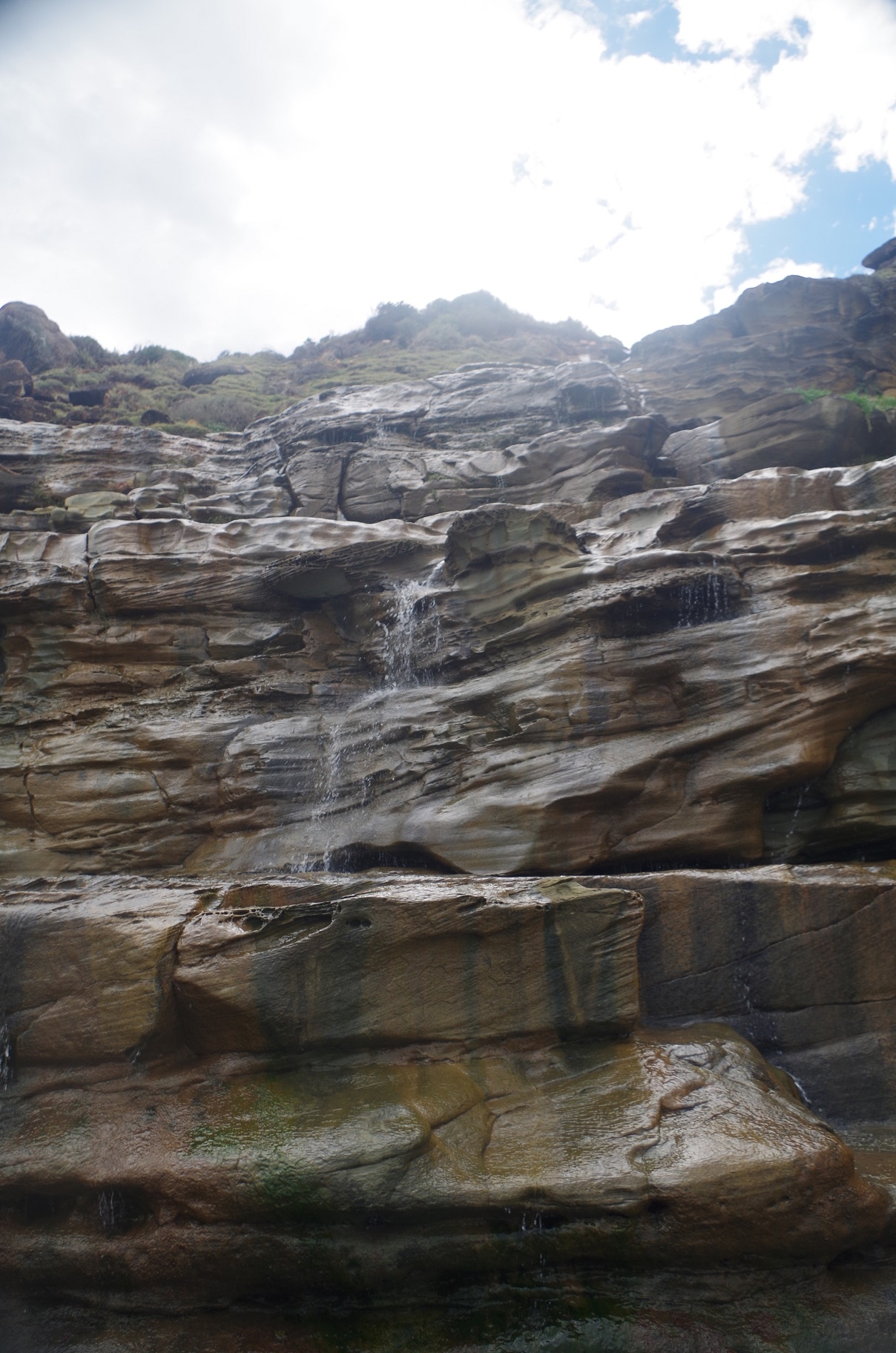
With such a large crowd at Figure 8, is was inevitable that our group would become a bit dispersed, so it was a matter of keeping an eye on everyone’s location. A couple of us ventured a 100 metres further south to look around, and Merridy photographed the nearby waterfall (called Figure 8 Rill on old maps – the current Topographic map doesn’t mention it).
Eventually, with the help of waving arms, everyone was gathered together again for the walk back to the beach and then the walk up the Burgh Track to Garawarra Farm car park. This section of The Burgh Track is quite steep but mercifully short – 1400 metres – so we get over it quickly.
By the time we reached the Garawarra car park, it was about 3.40pm, leaving 95 minutes to get to Otford Station for the 5.15pm train. At this point, there was a discussion about whether to go to Helensburgh along the Burgh track, or back to Otford Station via The Cliff Track. Curiously, the distances shown on the signs there seem to be out; One said that the Burgh Track to Lady Wakehurst Drive was 2.5km (in fact it’s about 1.7km, plus an extra 100m to Hacking River), and to Otford Lookout was 5.5km (in fact the distance to Otford Station is 5.25km). Merridy got a stick and laid it against the aerial photograph of the area attached to the information sign, and declared that it was 11km to Helensburgh. If that was the case, it made my 55 minutes from Hacking River to Helensburgh the previous Thursday look really good, as that would mean that I was able to cover over 9km in that time! I would be able to blitz the upcoming City 2 Surf run! The reality is, however, that it is only 3.5km from Hacking River to Helensburgh.
Why the discrepancy in Merridy’s estimation? I would say it was because aerial photos can be distorted at the edges, due to using wide-angle lenses, causing distances to appear longer than what they really are. According to Wildwalks, 11km is the distance from Garie Beach to Helensburgh, and even that overestimates the distance by 1km as it takes walkers via a meander through Helensburgh streets instead of straight to the station.
One thing I had to consider though was that even though in reality the distance from the car park to both Otford and Helensburgh were almost equal, there was the need to ford the Hacking River, which would slow down the group to do this. Also, I had to consider whether anyone might go for an unintended “swim” if they slipped. I put these options to the group, but meanwhile I decided that I and another had better use the loos that were there as more people were arriving at the car park (even at that time!) to go to Figure 8 Pool, A queue at the Port-a-loos was likely. So after my ablutions, I returned to the group to be concerned that 7 of them had already left along the Cliff Track towards Otford and had at least a 200 metres lead on the remaining 4 waiting for me. Cathie told me that some of them were getting stressed about needing to leave to get the train (as Otford has only a measly 2 hour train service on sundays).
So our remaining 5 set off along the Cliff Track, which is fairly level along its length with a couple of gentle grades. Along the way we met a small family group who wanted to know if it was still possible at get to Figure 8 pool. I advised them against it as they wouldn’t reach it until sunset, and the tide was coming in as well. They took my advice. At one point the track passes the Lilyvale Track turnoff, which is the track to the former Lilyvale Railway Station, opened in 1890 for bushwalkers but closed in a bean counter “rationalisation” in 1983. Nowadays it just stops at Karingal Picnic area on Lady Wakehurst Drive. It also looks to be little used now.
Just a bit further along is the junction with the Coast Track. Shortly after that we came across a group of Uni students from Wollongong, and one of them was suffering from acute cramps in his thighs. They had walked up from Figure 8, and seem ill-prepared for the walk – insufficient water and no First Aid kit. So we spent the next 10 minutes with giving him water and medication (Ibuprofen) to ease the pain, and I tried to stretch his leg to counteract the cramp, but it didn’t work that well (the thigh can be a difficult area to stretch the muscles). We knew we still had plenty of time to get to the train, so we were not concerned about that, and were glad to help that group.
(The jury is still out about the cause of cramps. It is likely due to over-exertion of muscles. In this guy’s case, probably he was not used to the length of the Figure 8 track and the gradient coming back up).
So after this First Aid exercise, we continued on to Otford Lookout, where we could see (and hear) an approaching thunderstorm. It was already at Wollongong further down the coast. Then to Otford Station with still 20 minutes to spare before train time. We 5 met up with the earlier 7 and I made clear my annoyance at their leaving ahead of us. They explained that they thought that, back at Garawarra, the decision to go to Otford and not Helensburgh was a done deal, and I admit I was inclined towards Otford but I hadn’t finally decided when I did the loo visit. The real issue though that the group was effectively split in two, which should not happen on a SUBW bushwalk. See https://www.subw.org.au/for-members/coming-on-a-trip/. If some people get well ahead, what happens if someone treads on a snake and needs a compression bandage urgently? If the person with the First Aid kit (usually the trip leader) is 10 minutes behind, that is a real problem. If you have doubts about the prevalence of snakes around Sydney, read this about a snake catching an Illawarra Line train last week: http://www.smh.com.au/environment/animals/snake-on-a-train-stunned-passengers-find-reptile-on-carriage-south-of-sydney-20170419-gvnomt.html. The most likely station for a snake to catch an Illawarra train would be Otford.
Incidentally, when you go on a bush walk, do you check to see if someone has a First Aid Kit, and who has it? Don’t assume someone has one.
I will mention Leonardo and Michael did apologise to me about splitting the group by taking off ahead of the rest of us. Still, it was a learning experience and that was the main thing. While we waited for the train, the Wollongong students appeared and our “patient” was now walking well and had recovered from his cramps. Then it was the train trip back home, and eventually the storm caught up with us at Sutherland.
One major issue highlighted by this trip is the damage being done to the Coast Track in Palm Jungle by the hordes of tourists visiting Figure 8 Pool. It would be a shame for NPWS to extend the boardwalk from the Lomandra through Palm Jungle, but I would say that it will be inevitable. If you know people who want to visit Figure 8 Pool, tell them to use the Cliff track (oddly called “The Squeezeway” by Wildwalks) and then down the Burgh Track to Burning Palms. It is longer but quicker and easier. And remember that it MUST be at low tide AND a calm sea, like it was on this walk.
No one got leeches, by the way.
Here is my photo link: https://www.flickr.com/photos/brstafford/albums/72157680750222490
Bruce Stafford.