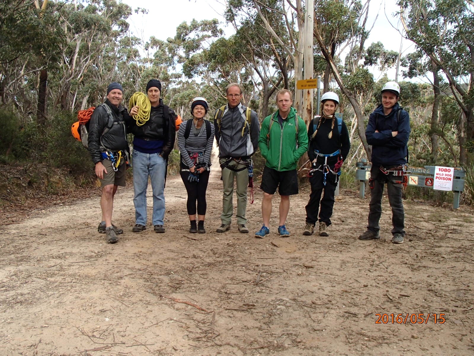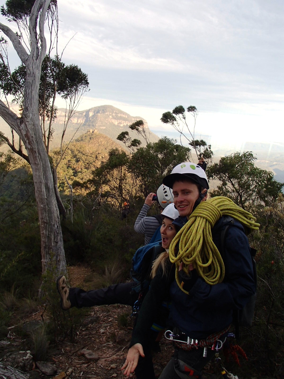
Present: Robert Buch, Tim Fisher, Ofer Gal, Paul Griffiths (Trip leader), Brian Hedden (guest), Kate Lynch, Elena Walsh
Date: 15/05/2016
Photos: SUBW Facebook page and https://www.flickr.com/photos/130167675@N03/albums/72157665980018494
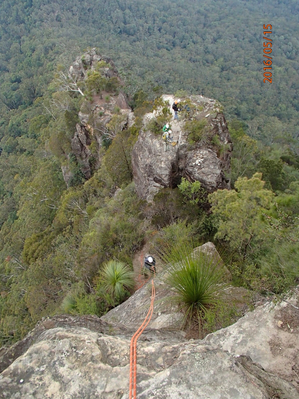
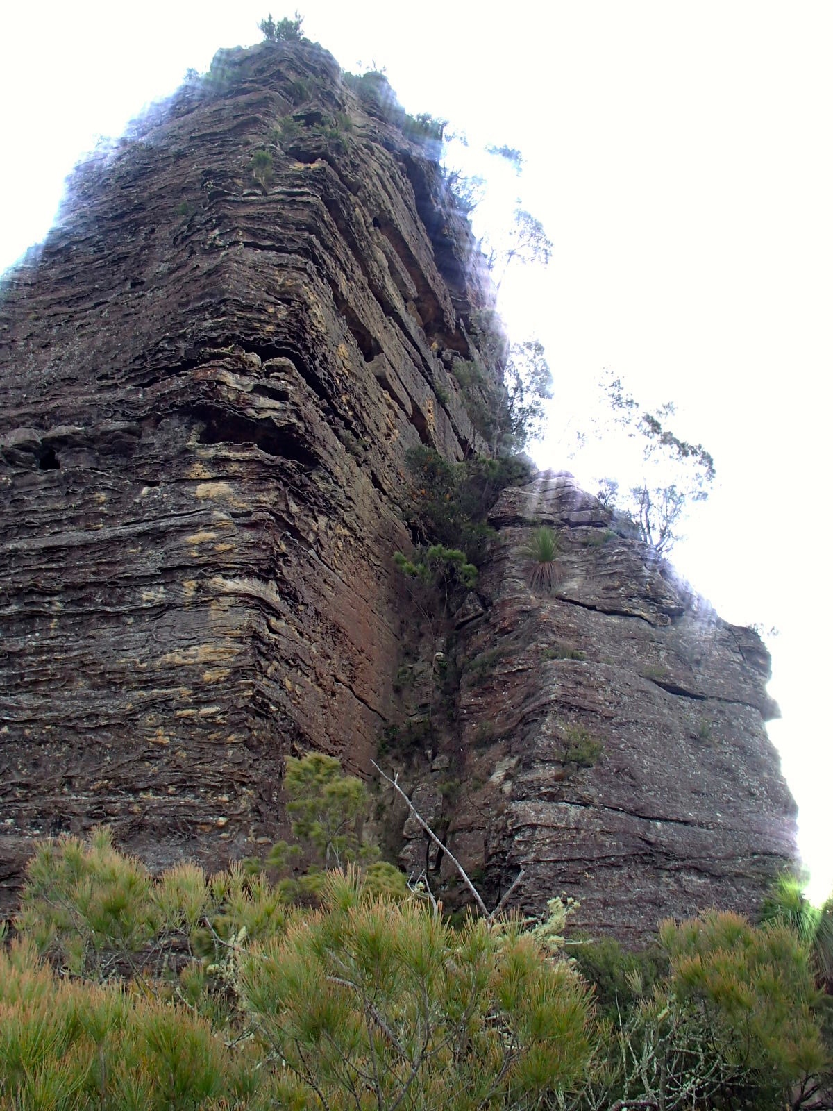
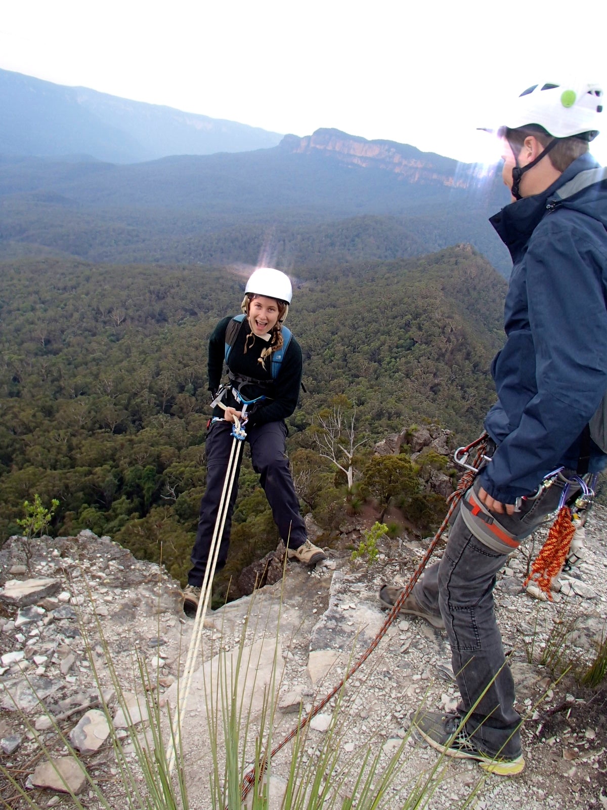
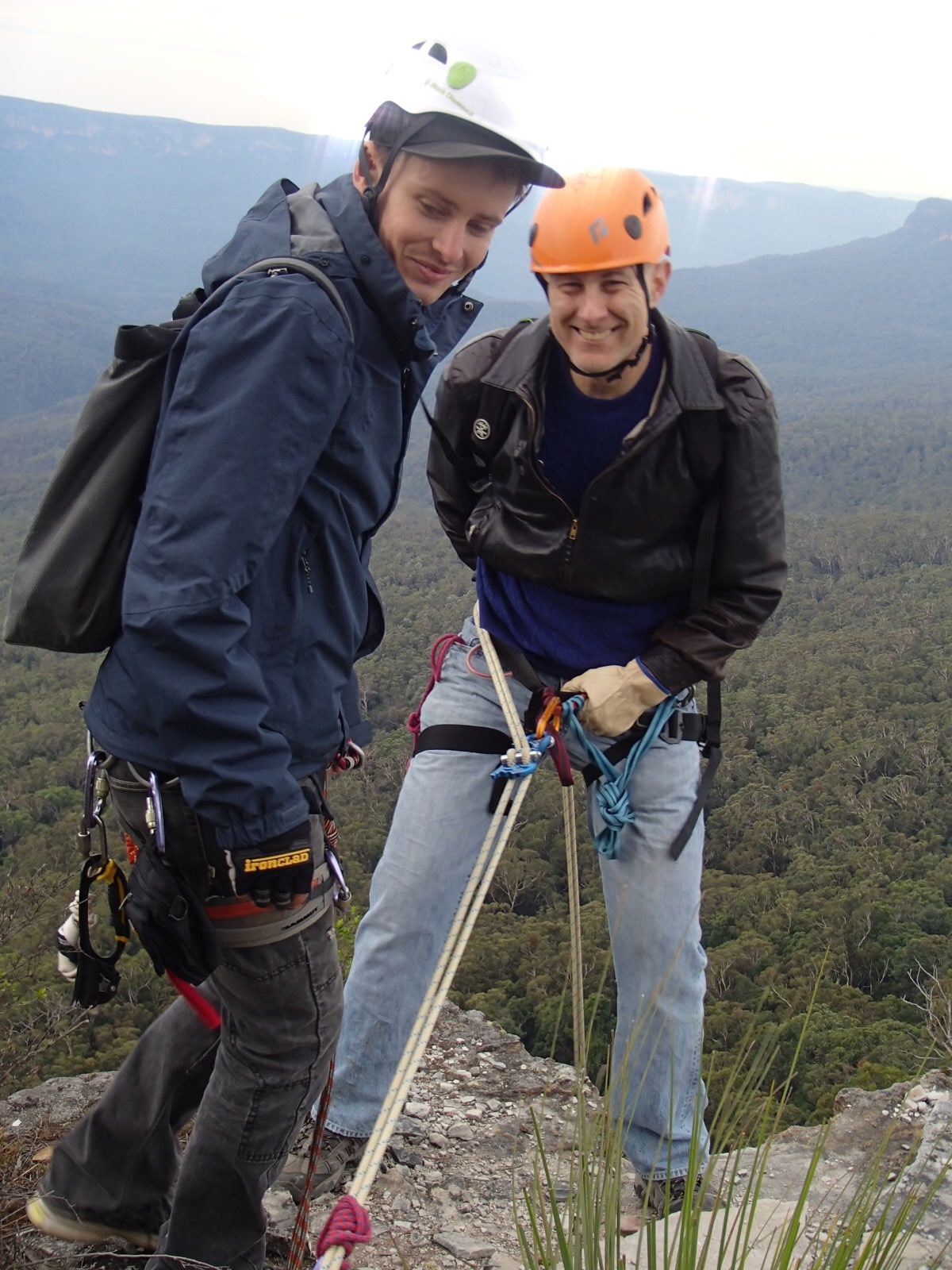
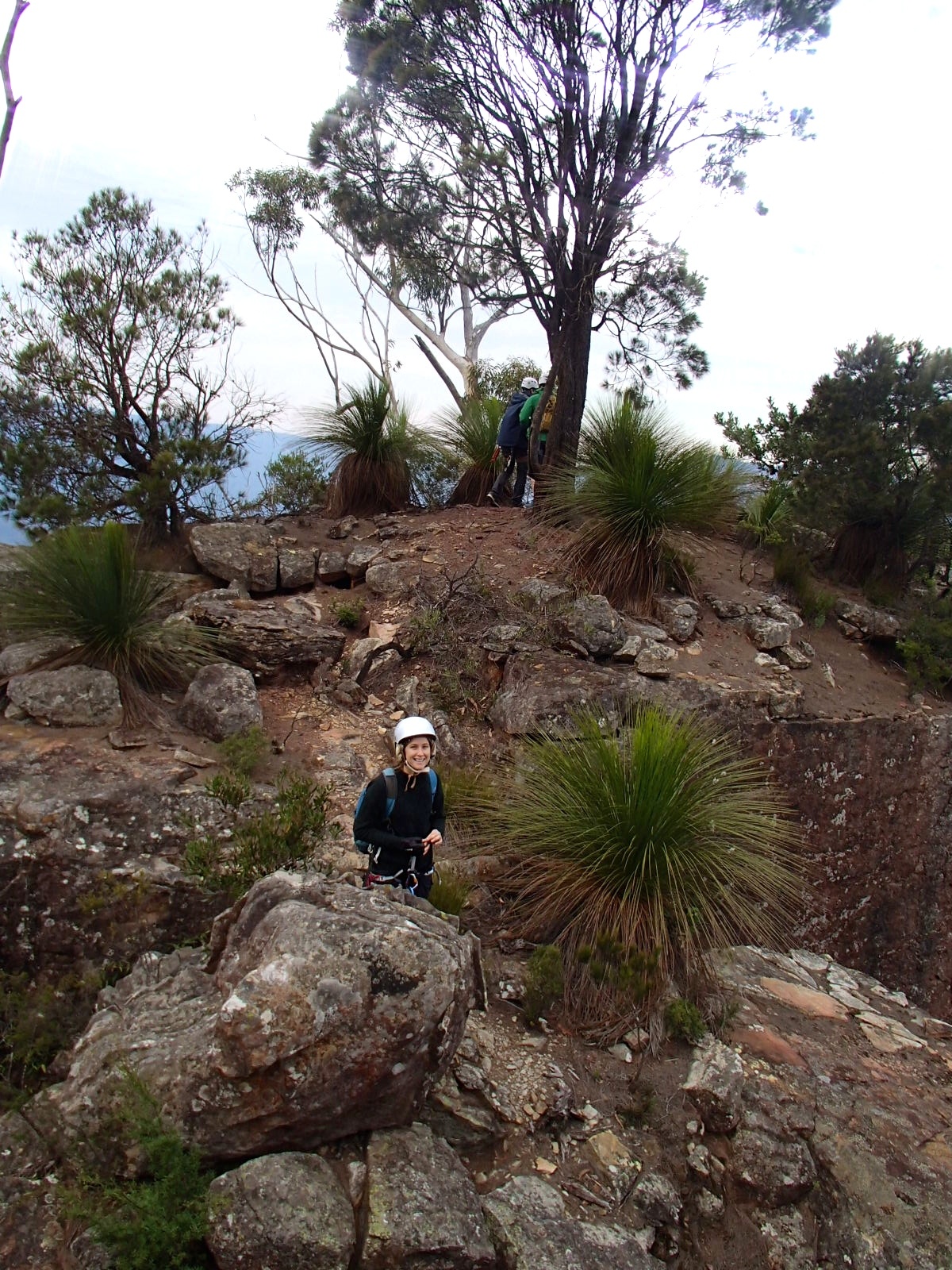
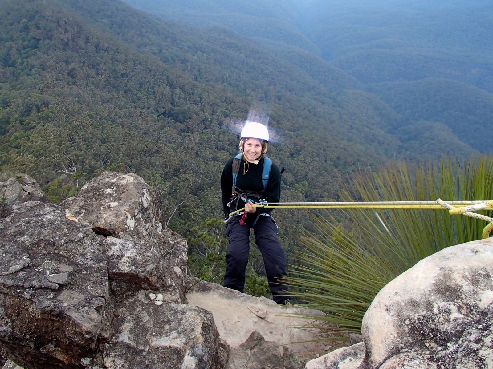
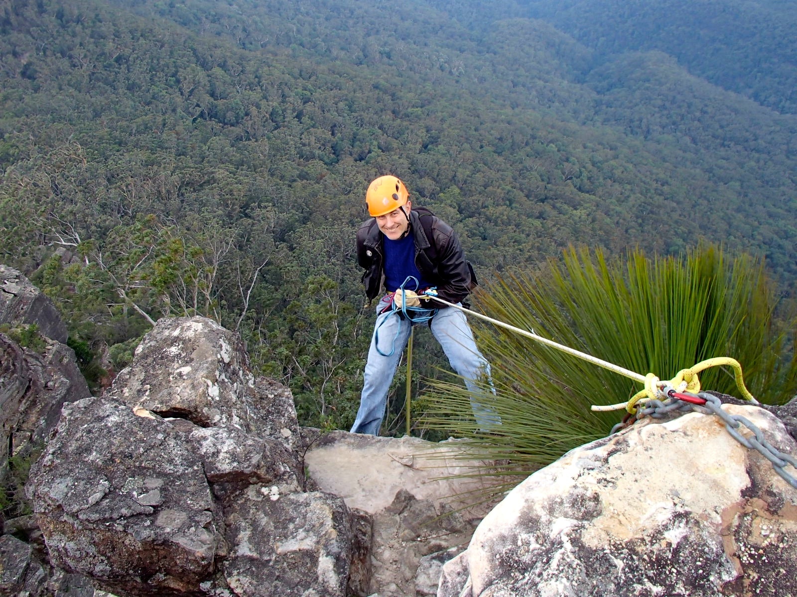
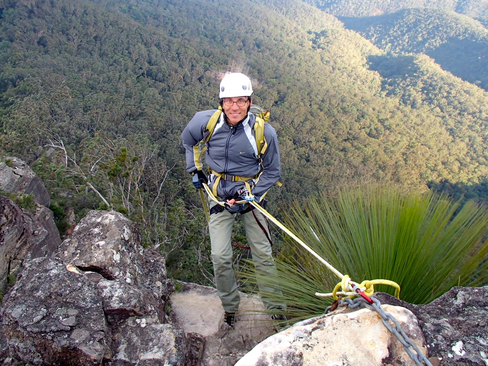
We had a leisurely Sunday start, leaving from the locked gate on Glenraphael Drive at 11.00. NPWS have erected a big sign to Castle Head about 700m further down the road, and we turned off, reaching Castle Head trig at 3km. The track continues less than 100m to the first anchor, a solid set of chains on four bolts. The first abseil is 25m, down a clean face but with a tricky landing area – you need to grab a tree on your right and pull yourself in. Since we were all using an autoblock to self-belay this was straightforward. The second abseil follows immediately – 15m from a tree backed up on a bolt, sub-vertical and completely straightforward. The next, third abseil is from a pinnacle about 20m further on. It’s another tree and bolt combination and a straightforward 15m, plus a few metres of rope to reach the anchor, which is set back.
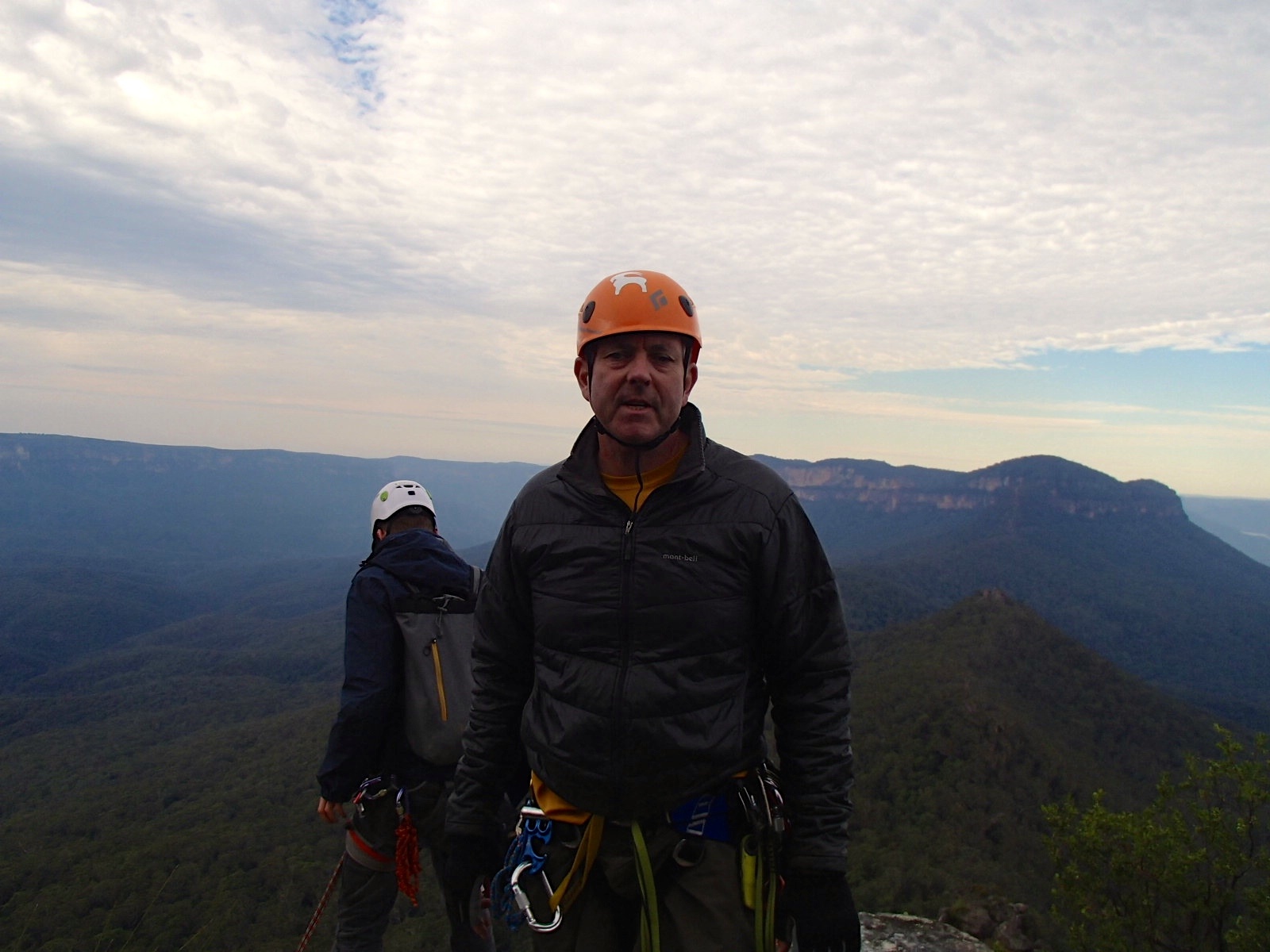
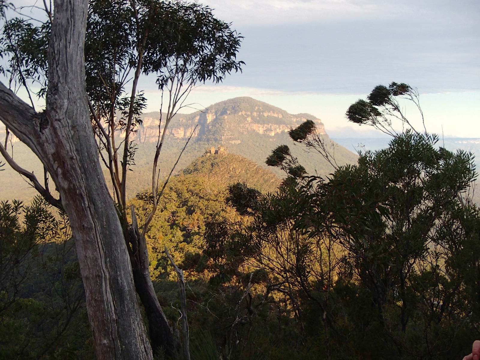
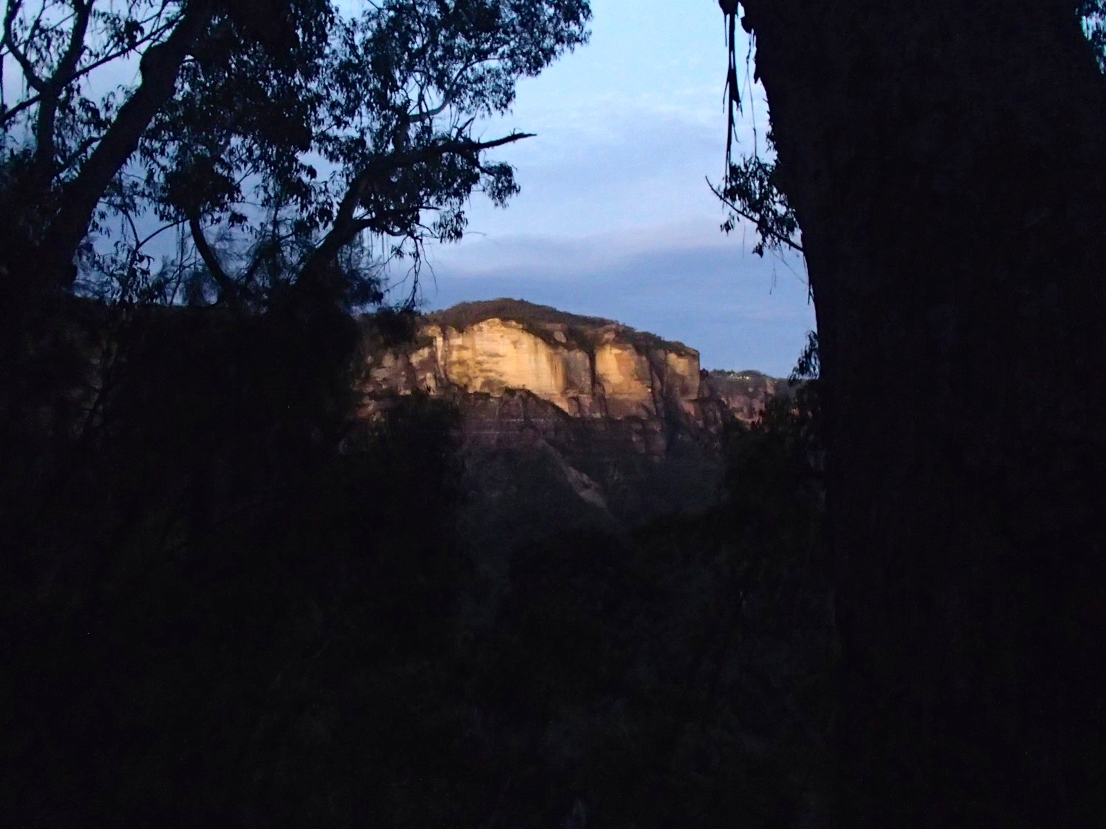
The weather forecast was sunny, 19C and moderate winds. But on the day it was overcast and the winds got stronger as the day progressed. At some points we were crouching for balance in gusts approach 40kmh. But it all added to the sense of being in the mountains and later in the day the patches of sunlight across Mt Solitary and the Katoomba cliffs were probably more beautiful than clear, blazing sunshine.
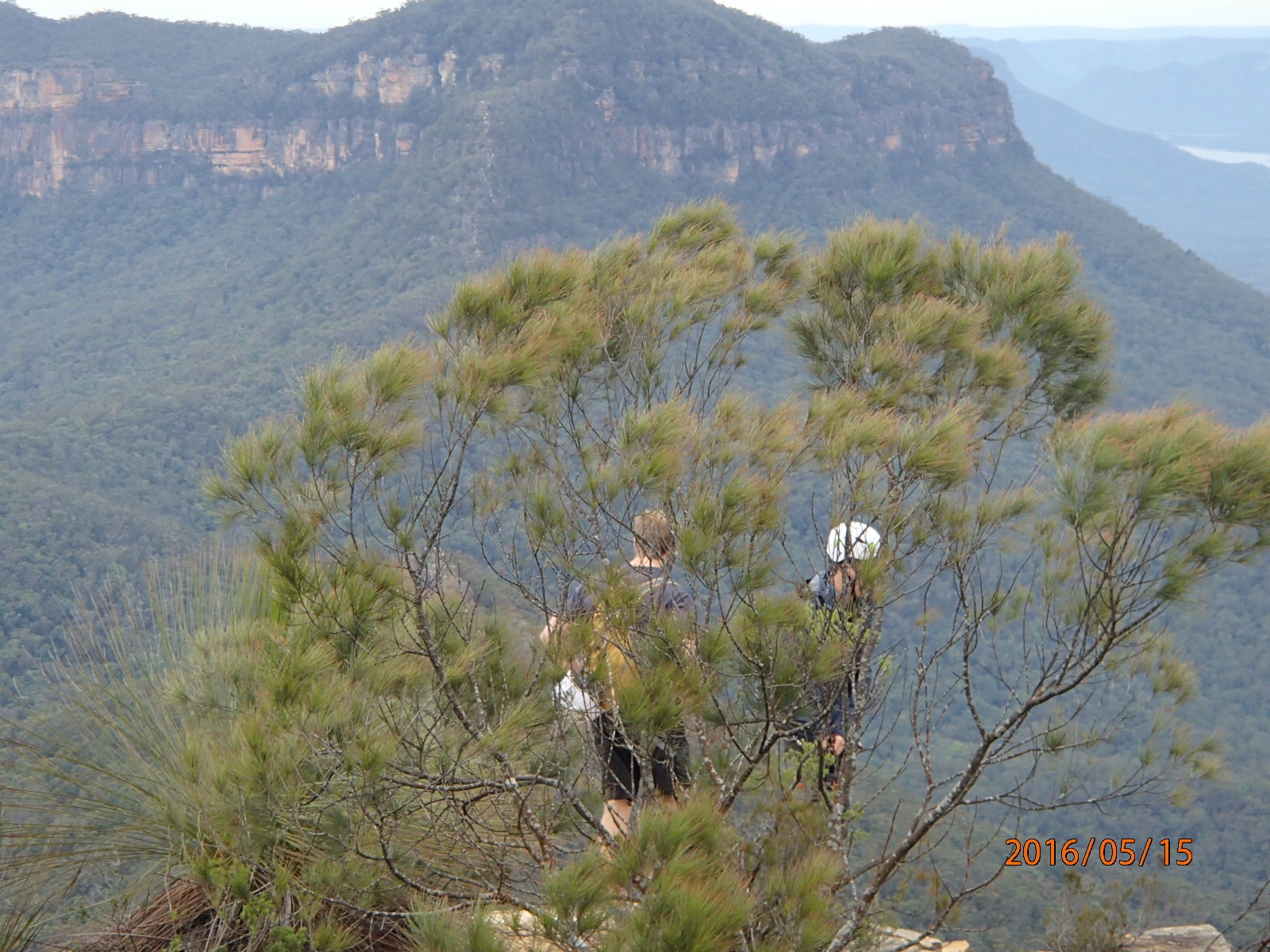
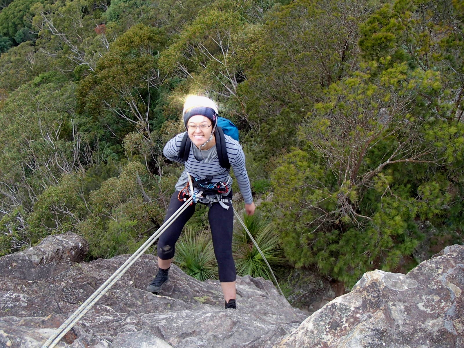
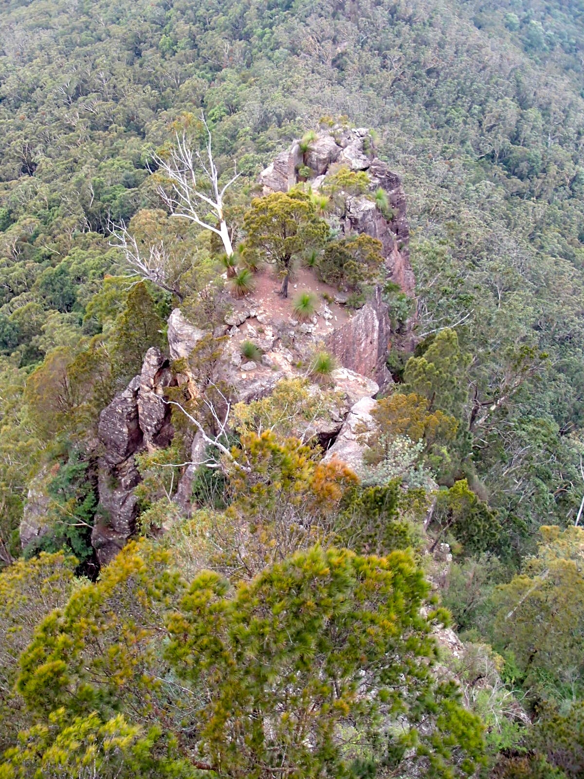
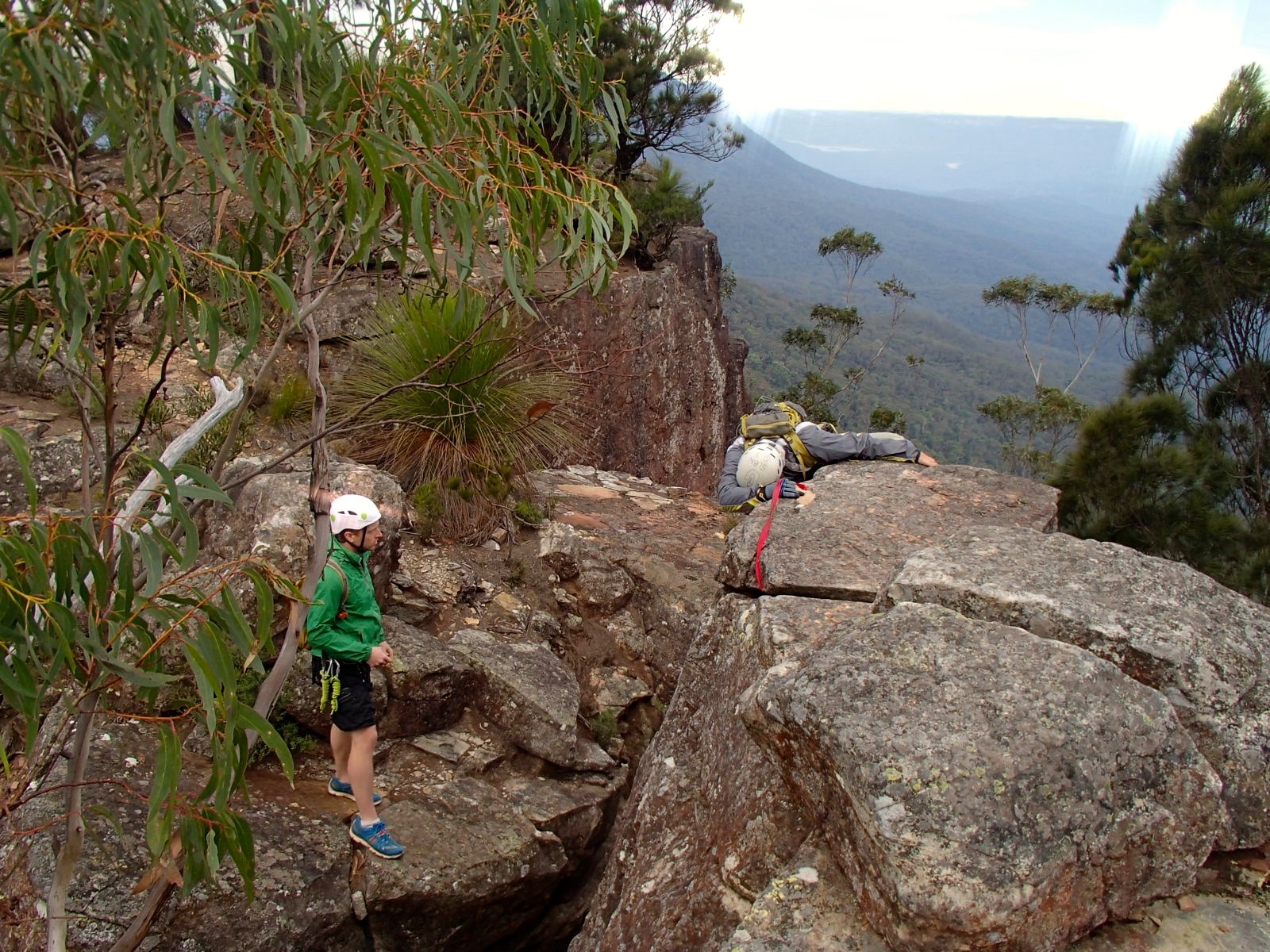
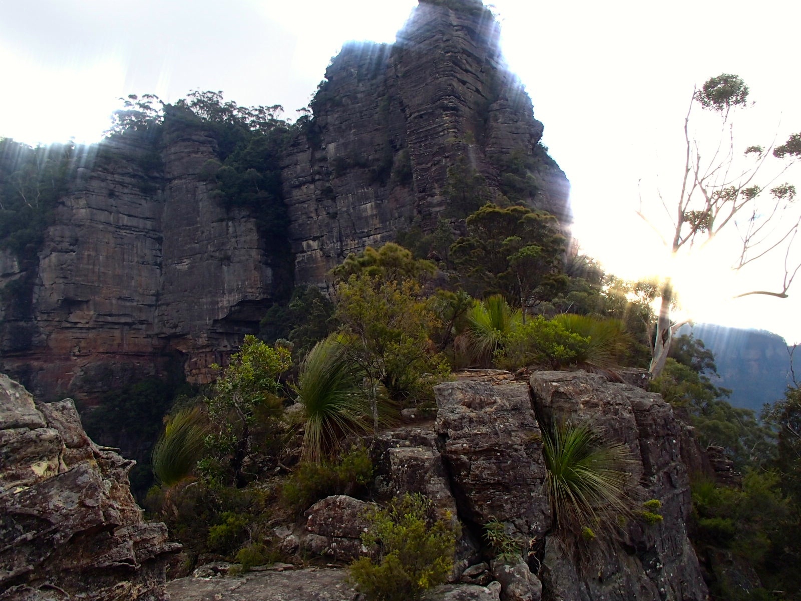
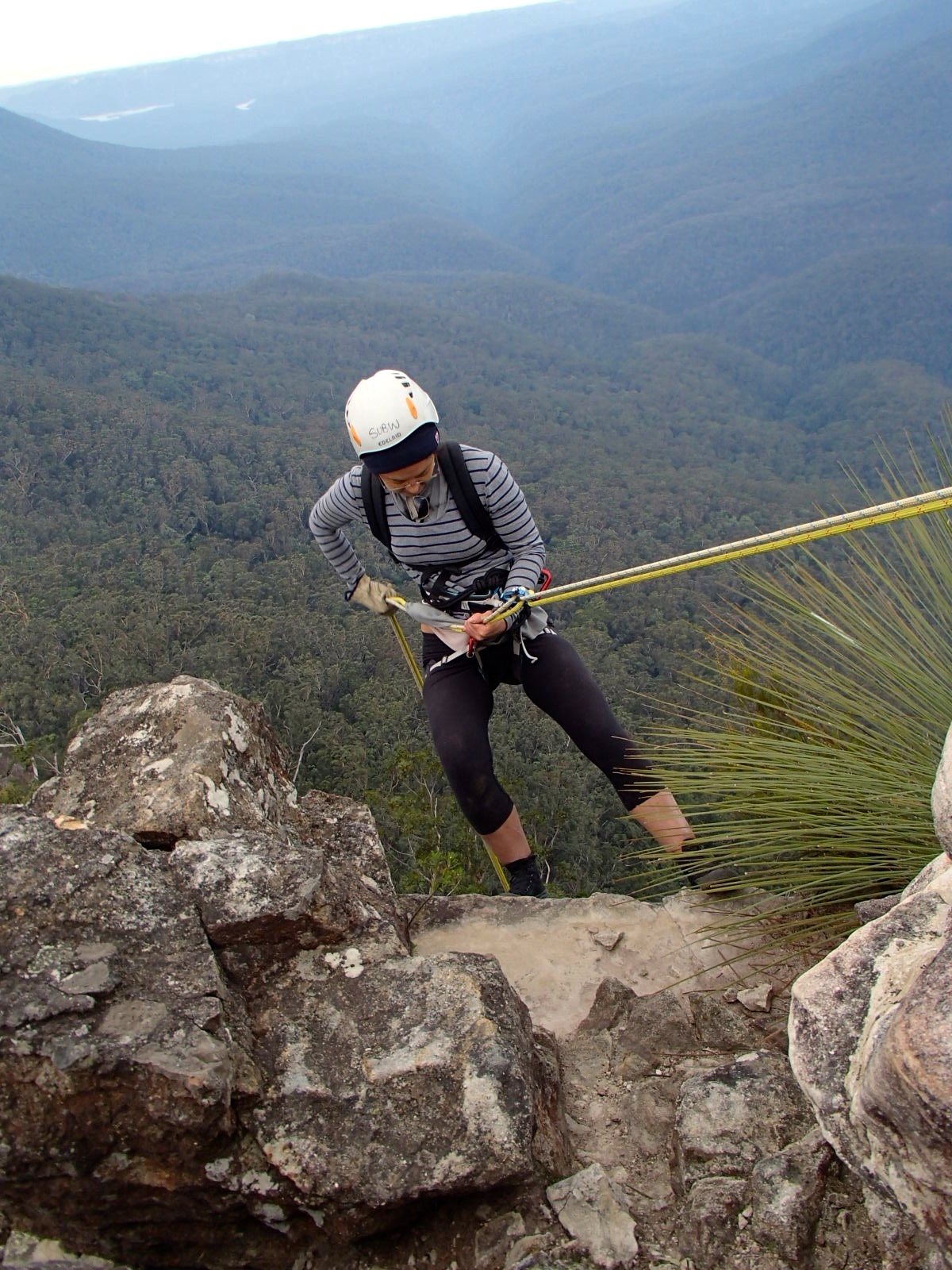
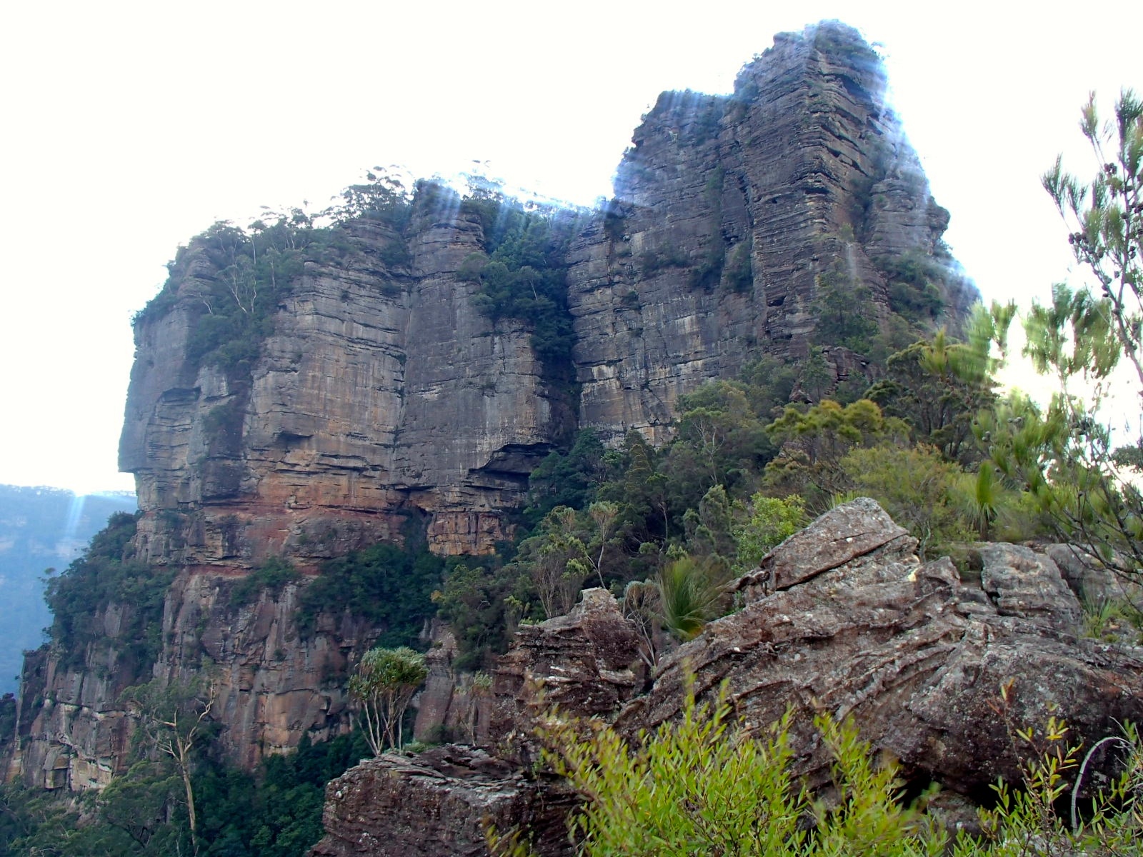
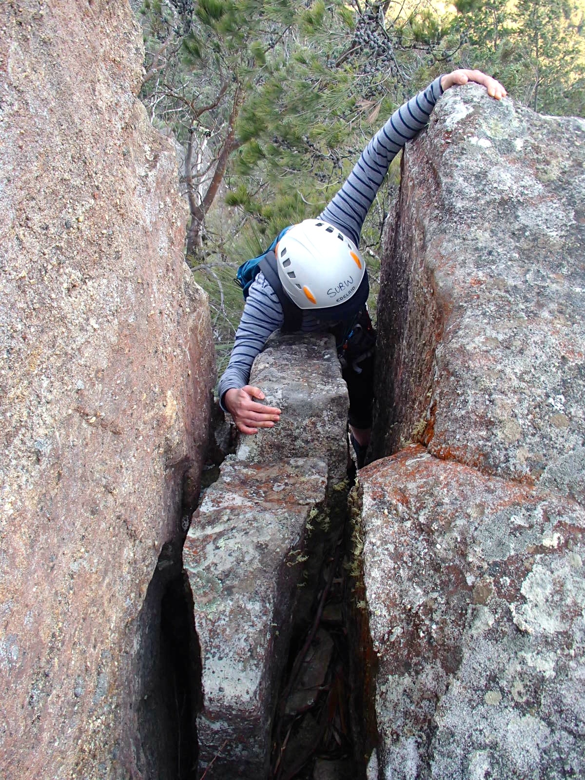
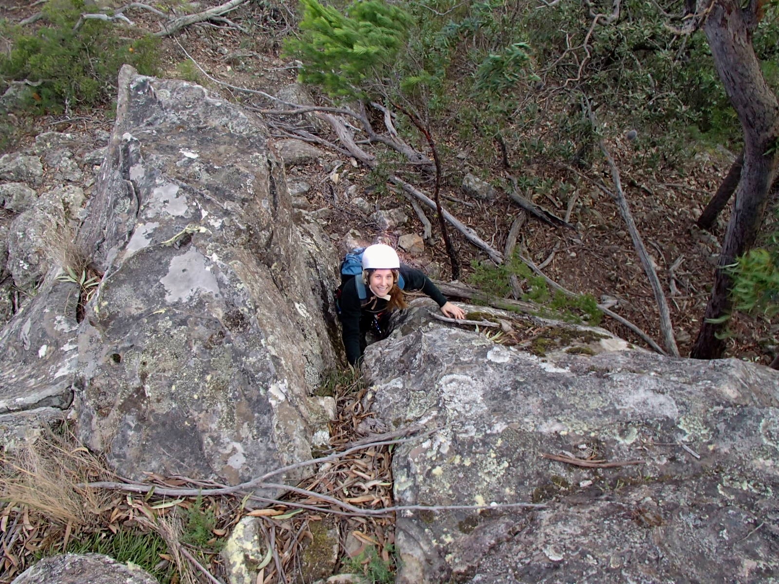
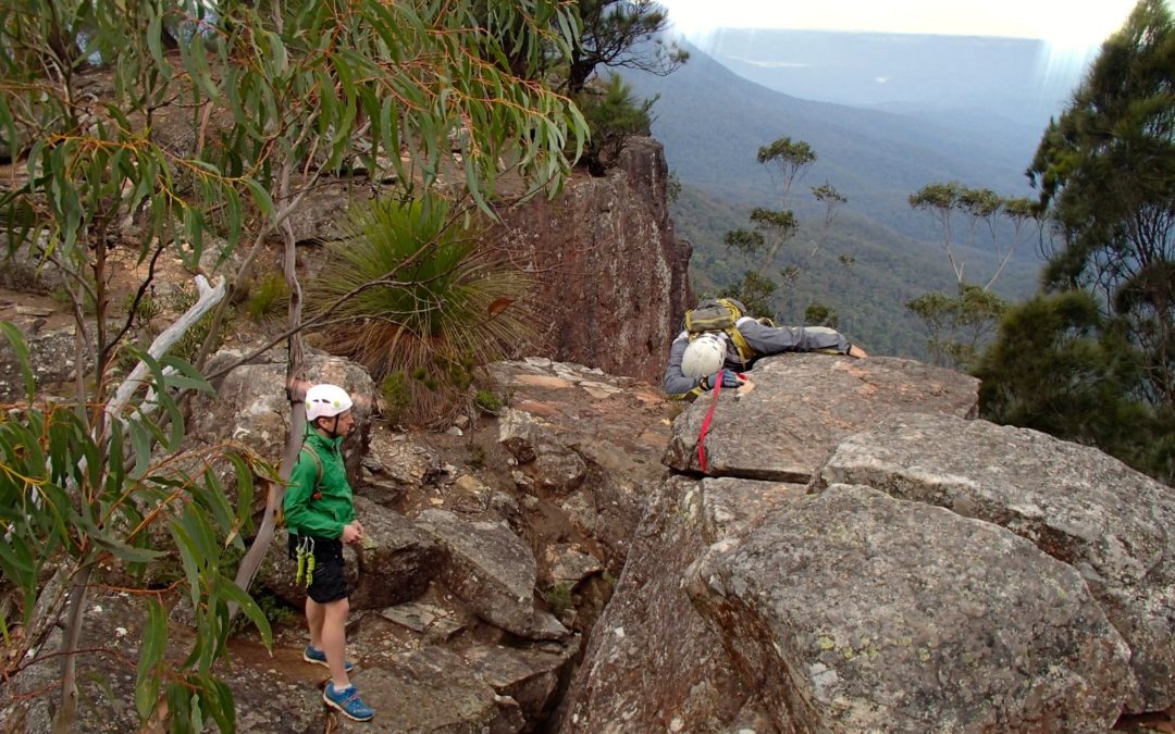
The next bit of the trip is the highlight. There is a walk of perhaps 50m along a narrow promontory to the final, 40m abseil. Halfway along there is a crack about a metre wide and 5-6 meters deep. Tim just jumped, but the take off point is about 2m above the landing area, so it’s a bit of a thud! It’s a reasonably demanding scramble to the bottom and someone has built an anchor, so three of us abseiled and walked back up. The others slung a piece of tape around the take off point and let themselves down to a ledge from where you can basically step across. There was another step-across – easy but exposed – a little further on and then we were all out on the nose. It felt a bit narrow in the high wind, so those not abseiling sat down. The final abseil is 40m, overhung at the bottom, from a chain anchor on three bolts. Definitely the highlight of the trip.
From the bottom of the final abseil the path follows the cliff bottom and then the ridge for a few tens of metres to an abseil anchor off to the left. We ignored this and scrambled down the ridge, which involves a few straightforward climbdowns, and a few minutes later we reached the Ruined Castle Track. We were 5.5km from the cars and had taken 4hrs 45m, being a big group including four relatively inexperienced abseilers. Lunch and the walk back to the car took another two hours, and we got back to the cars just as it was getting dark – a total distance of 13km.
Abseil trips are a Blue Mountains speciality, and it’s interesting to think why. In Europe you generally want to get to the top of a pointy mountain. Being Europe, there is often a path to the top, but even when there is a path there are usually scrambling routes – ways to get up doing everything short of technical climbing, or using ropes only for added security. The charming French mountaineering grade system classifies these as F for ‘facile’ (easy) and PD for ‘peu difficile’ (slightly difficult). This is mountaineering or alpinism, rather than climbing. There are a few similar routes here, but generally I think abseil trips are our equivalent of that kind of mountaineering, reflecting the nature of the Blue Mountains.