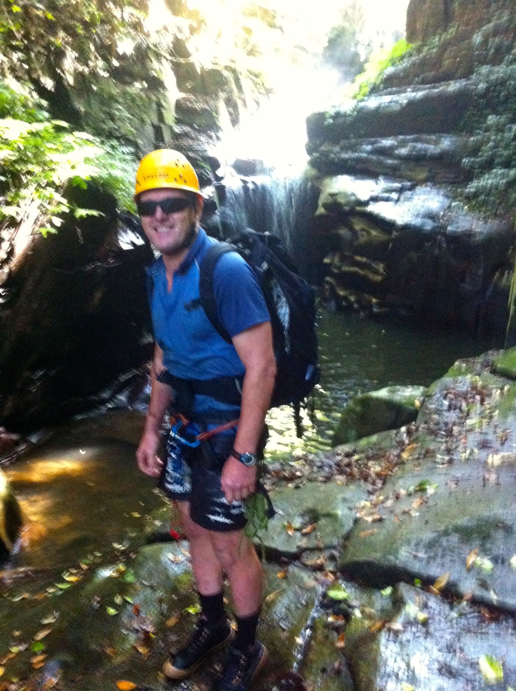
Party: Tim Fisher, Marty Frappell, Paul Griffiths(TL), James Cordukes
Leader: Paul Griffiths
Date: 13/03/2016
This proved easier than we had anticipated from the sparse descriptions available online, but still a spectacular trip. The day before we had run a beginners canyoning trip through the lower, tourist section of Macquarie Rivulet, and this trip followed the rest of the Rivulet, from the top of the Illawarra Escarpment at 600m to where we had started the beginner trip at around 200m.
We did not have a camera with us, but there are a few phone shots of the spectacular abseils here: https://www.flickr.com/photos/130167675@N03/albums/72157663519212944
We had a leisurely start, having discovered how to access the top while staying inside the national park, so after leaving a car at Clover Hill Rd we parked at the junction of Mt Murray Rd and the Illawarra Highway and set off at 10.30. We made a beeline through the bush to the edge of the escarpment, but we would have done better to walk north up the highway for a couple of hundred meters for easier going. In either case, the idea is to head to the cliffs staying clear of the farm boundary and then turn along the cliff. After a couple of kilometres of reasonably open bush we hit the Rivulet at Robertson 831721. We could have saved a few minutes by sticking closer to the cliff, as it is possible to enter the creek right at the first abseil at Robertson 833720.
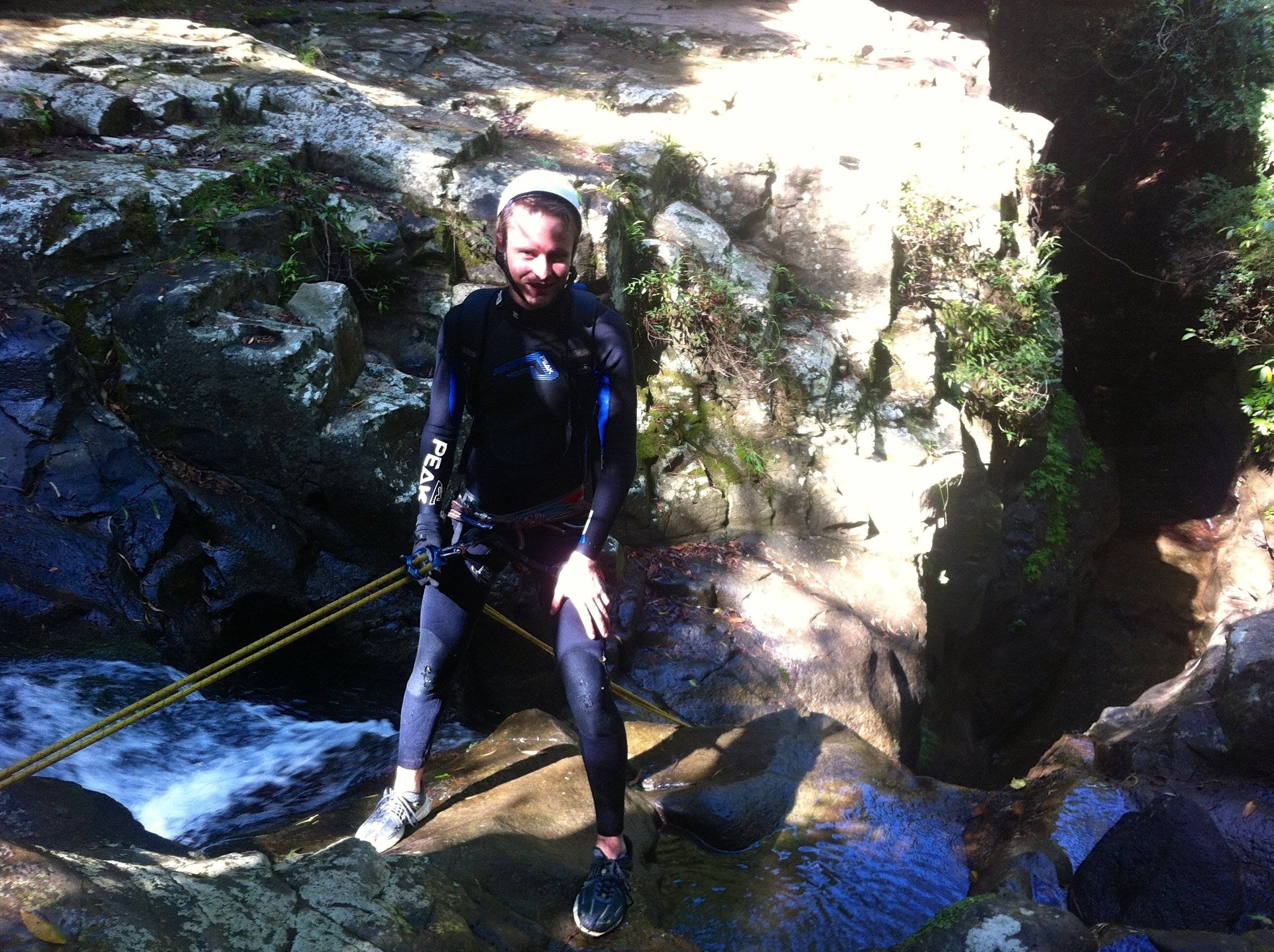
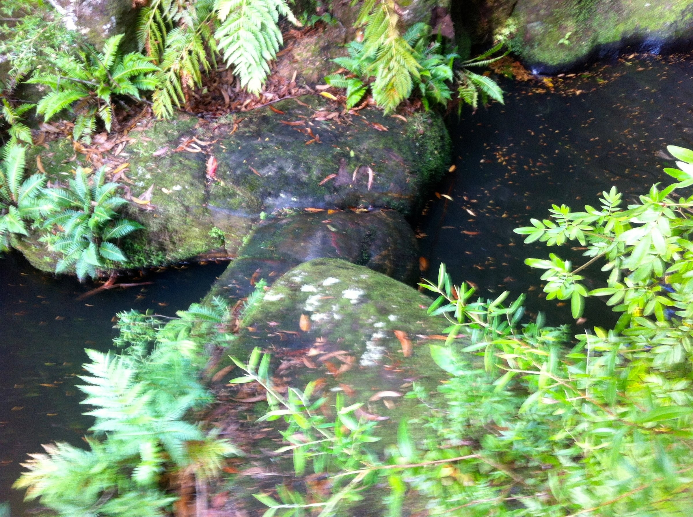
Because the creek runs through a cattle property before reaching the escarpment the water is a bit muddy and not recommended for drinking. But it was very pleasant on a hot day. It gets clearer as you follow the Rivulet down. This is usually a wetsuit trip, as you are wet most of the day, but in this spectacular late summer weather all but one of us did the trip in shorts and T-shirt.
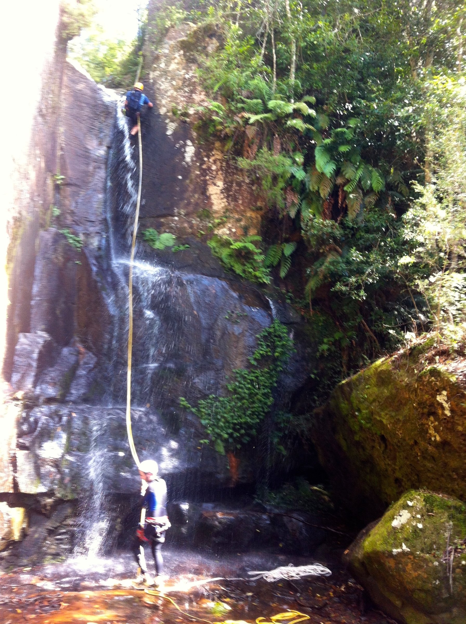
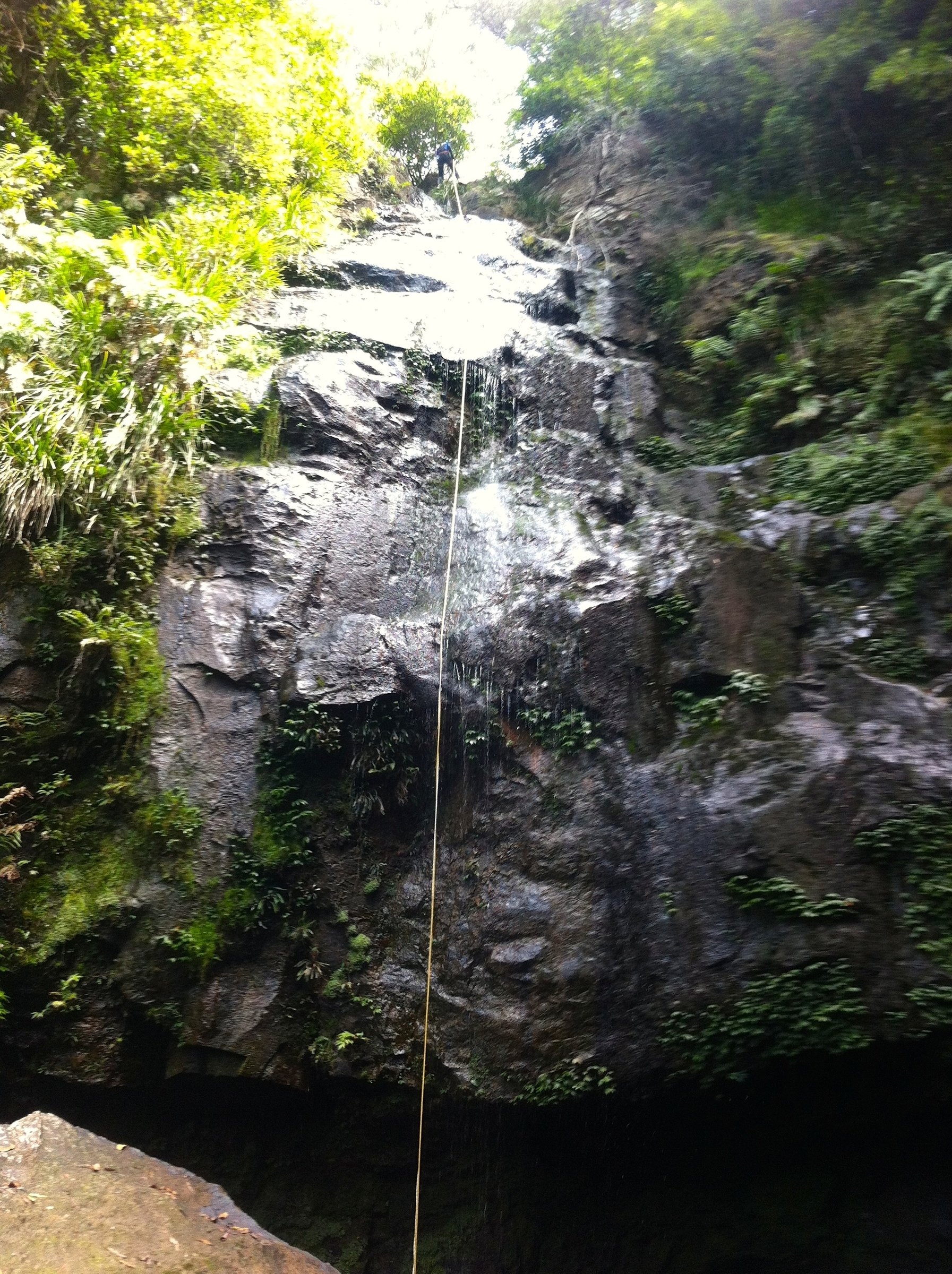
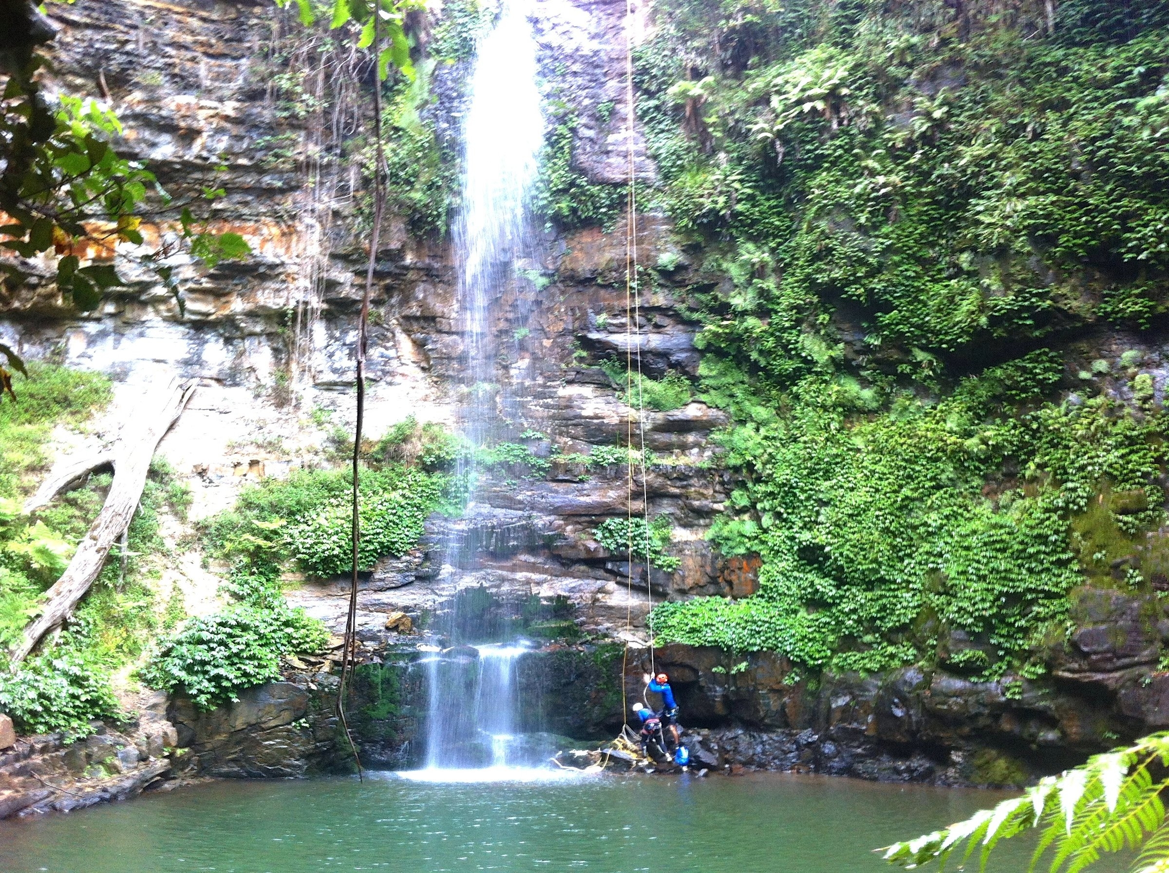
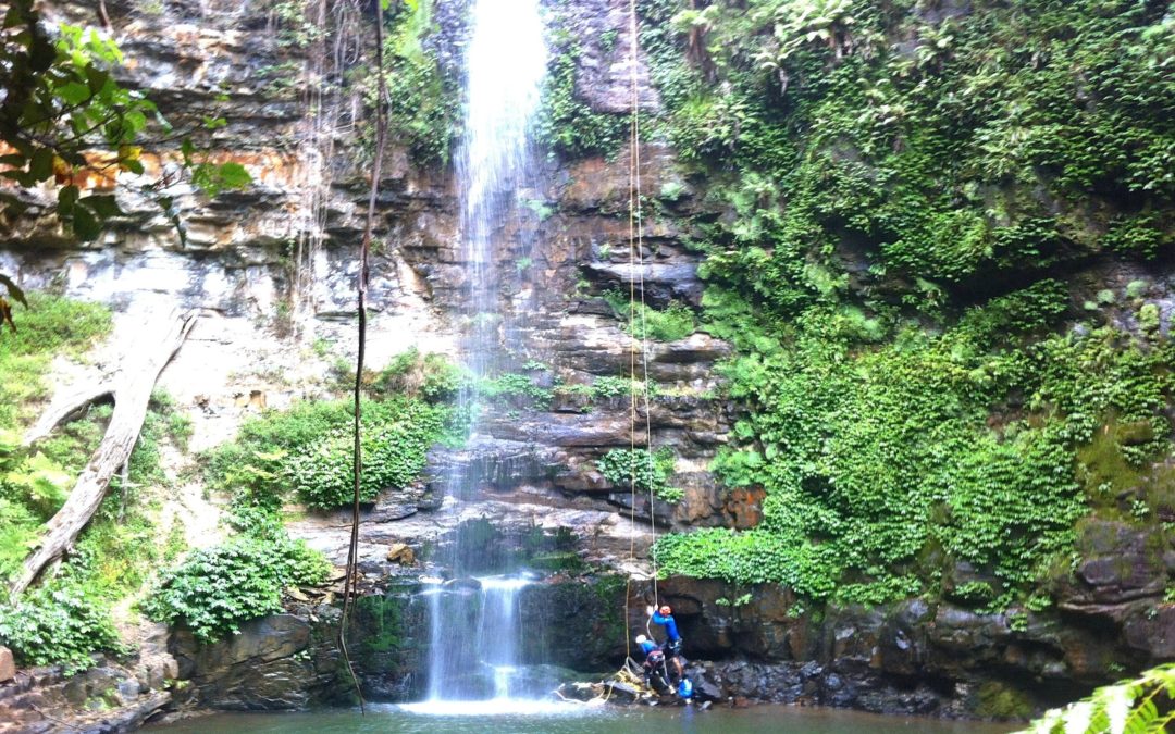
The first abseil is 7m into a deep pool, with a tape anchor on either side of the creek. A short swim across the pool brought us to a submerged rock arch. There is nowhere to stand and the rock is slippery, so the easiest option is to dive through the arch. Seeing the light up above on the other side when you dive through is very reassuring! A 25m wet abseil down a waterfall from a chain anchor (recently installed by a commercial operator) follows immediately. This brings you to a large rock platform where there is another new chain anchor for a 45m abseil down the next waterfall. It is overhung for the last few metres and would be very wet with more flow in the creek. This brought us to the bottom of the main line of cliffs, and also to the end of the compulsory abseils – all the rest can be scrambled on one side or another.In fact, Tim found a scrambling route back up the 45m abseil and did it again!
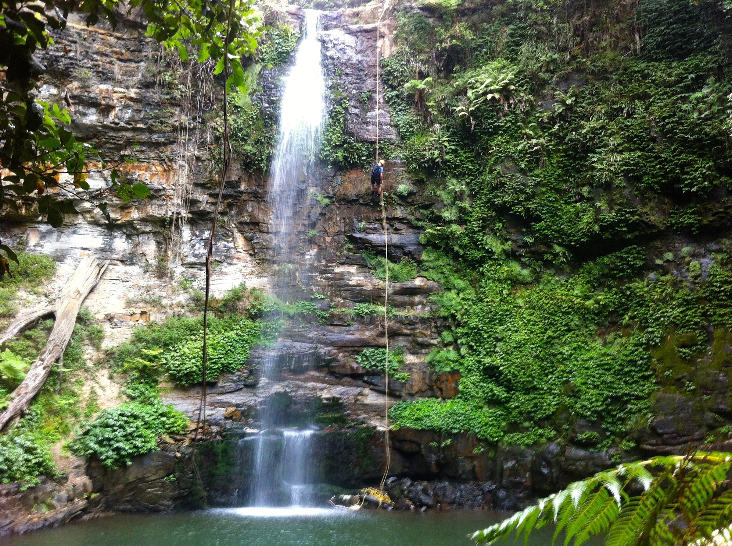
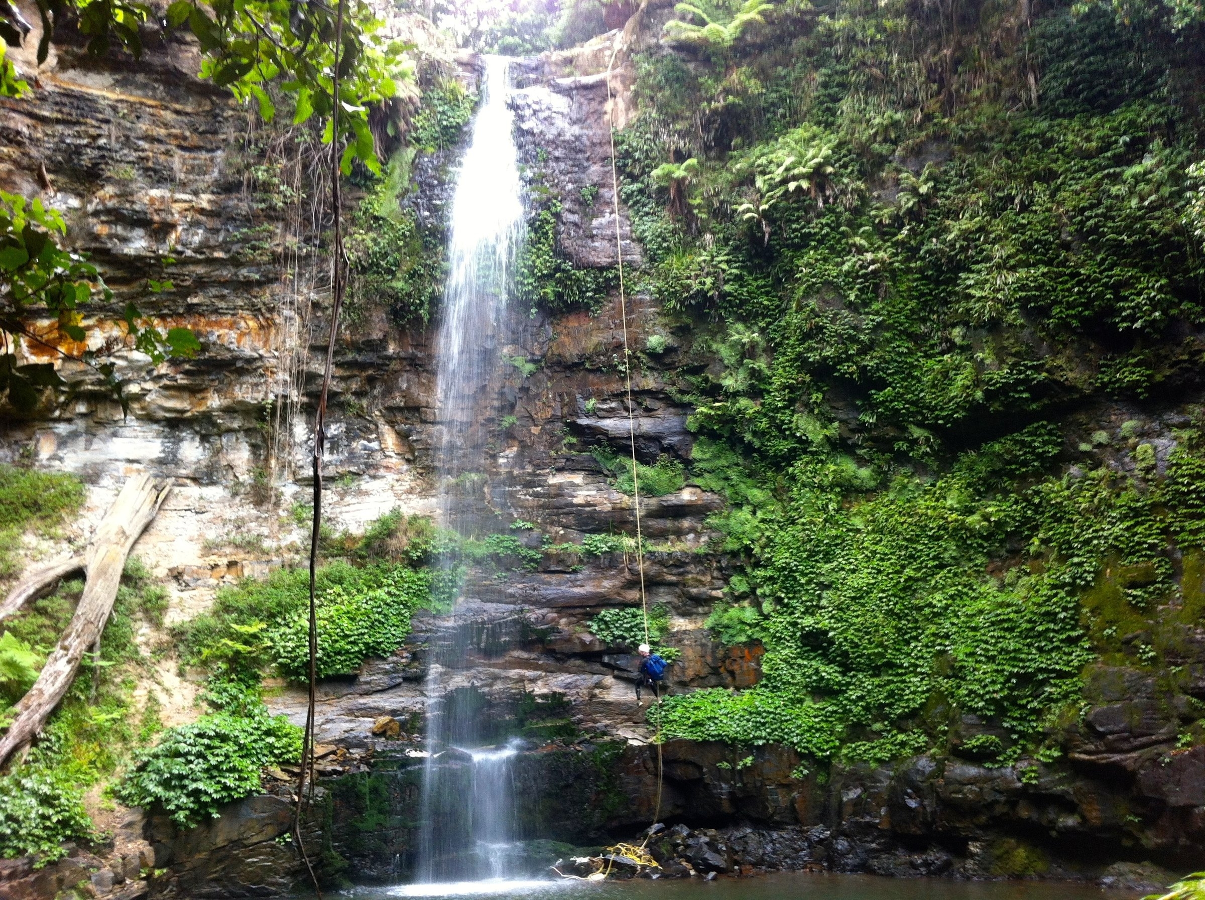
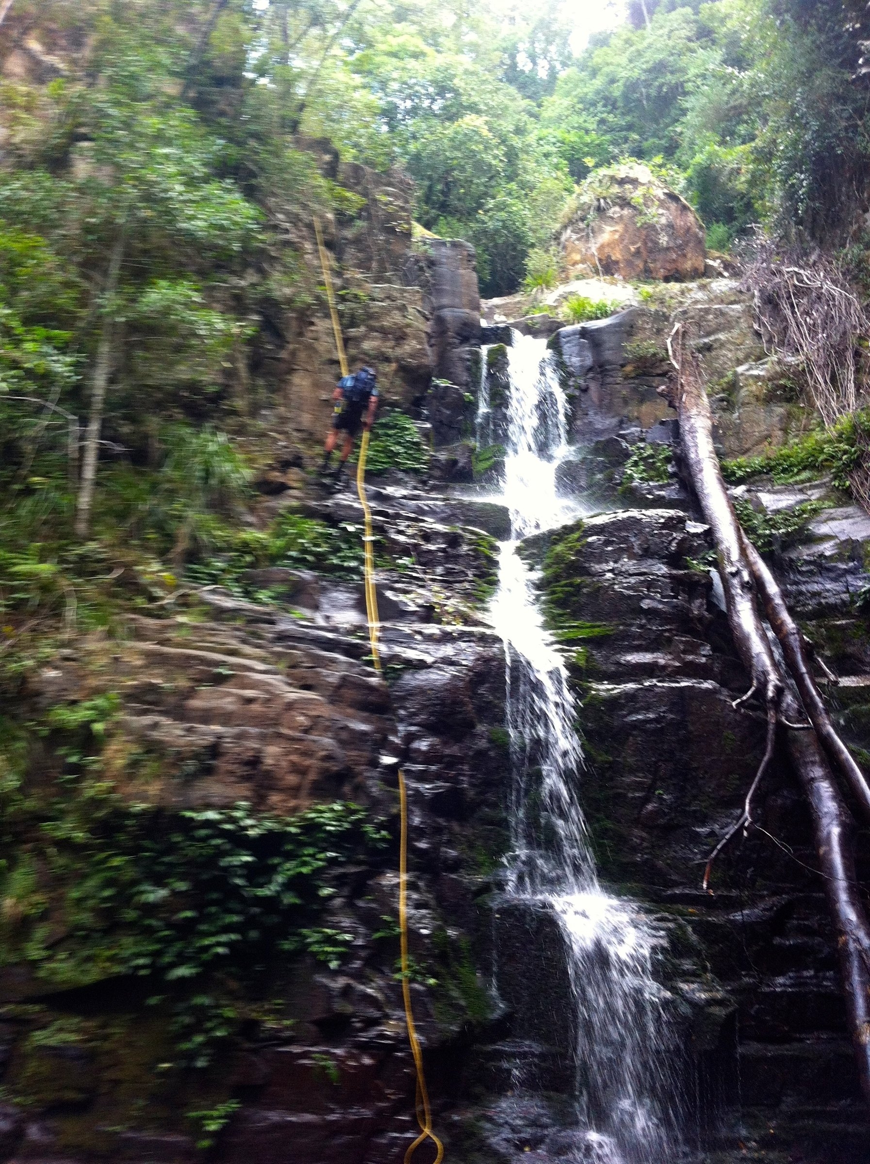
From here it was a longish session of boulder scrambling as the creek falls very steeply – car-sized boulders and larger, so a lot of scrambling down through narrow boulder caves. At one point we took a substantial detour up the left bank, so we may have missed an abseil. Eventually we arrived at the top of a superb abseil – 30m down a clean rockface right next to the waterfall into a perfect natural amphitheatre. This may be labelled Clover Falls on the top map. It is probably possible to follow the cliff to the left and find a ridge back down to the creek, but it is a long detour, so we were surprised not to find another commercial chain anchor here. Instead there is slightly dodgy tape anchor and a non-locking carabiner on the left. The abseil ends on a ledge, but you need to wade or swim across the big, circular pool at the bottom.
More boulder scrambling followed, until we reached a short abseil which we bypassed when Tim found a boulder cave down to the next level. We were then at a nice 20m abseil from a tree down a waterfall into a pool, possibly Mulangong Falls on the topo map, which we abseiled although we could have scrambled on the right. At the bottom we found a clear track, as this is where people walk up the creek to view the falls. A short walk brought us to the old ford on Clover Hill Rd, where there is still some concrete from the old roadway (Robertson 841719).
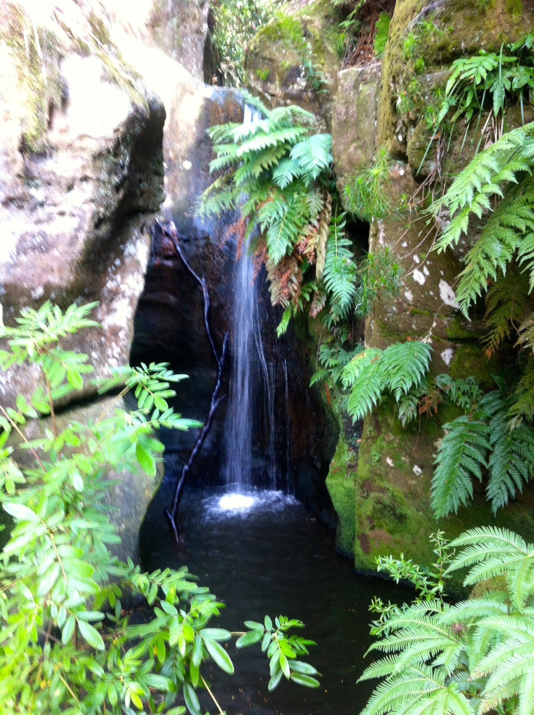
We decided to carry on and find the goat track which branches off the road – the point where we had started the beginners trip the previous day. This was a good decision. This part of the Rivulet is very beautiful with water-sculpted rock platforms, an almost complete canopy of trees, and masses of epiphytes. Highly recommended as a bushwalk! There is a very pretty little canyon section which you can, voluntarily, decide to do as two short, very wet abseils with a swim in between. This is marked as Rainbow falls on the topo. There are various water slides and jumps, all optional, and more gorgeous scenery before you reach the next chain anchor and short abseil. The goat track is a few metres back up the creek, and we headed up it to the cars, arriving about 4.30.
A superb day out, recommended for hot weather.