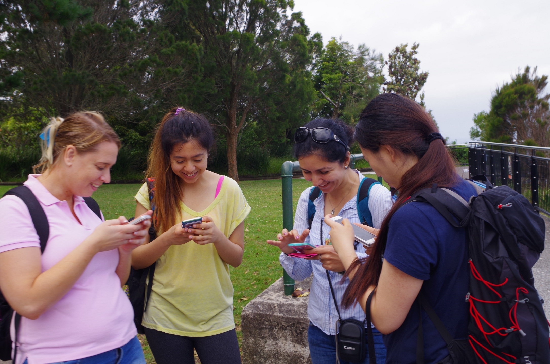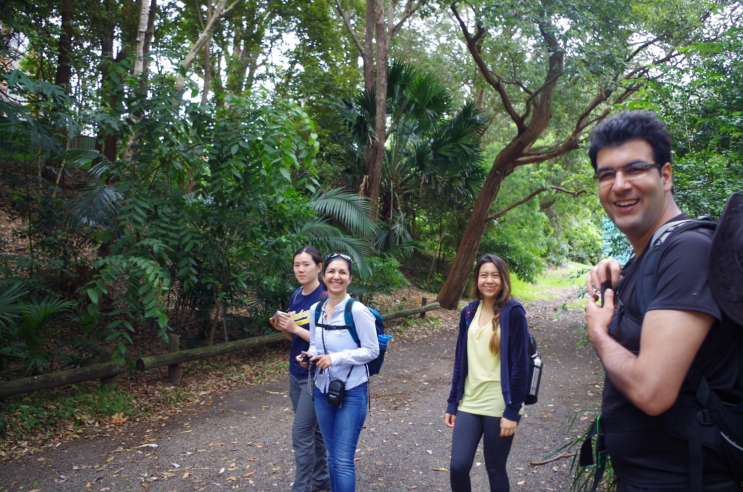
Walkers: Bruce, Anqi, Alireza, Farahnaz, Cathie, Zurina. (and no no-shows).
Date: Sunday, 22/11/2015.
Having been postponed from the previous weekend because of the wet weather, this Sunday was much kinder, with the forecast only being “a slight chance of showers”.
The weather remained overcast and mild – and dry – the whole day. Meanwhile a communications problem caused a potential loss of contact with the walkers, as Telstra internet locally went down on friday night probably related to the extreme heat that day, and then the web-based email system also went off line for the whole weekend. Fortunately none of the walkers needed to contact me.
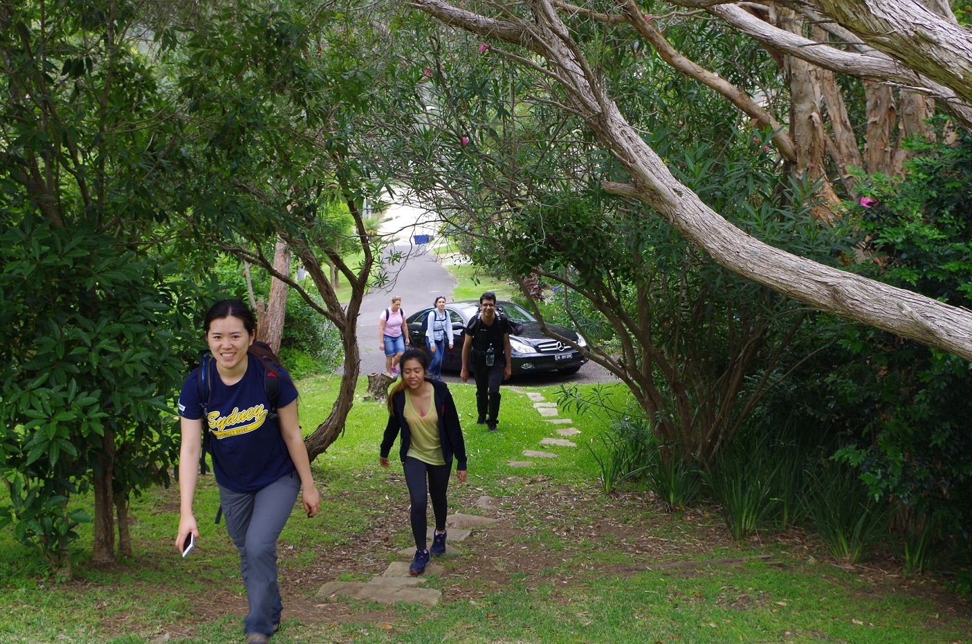
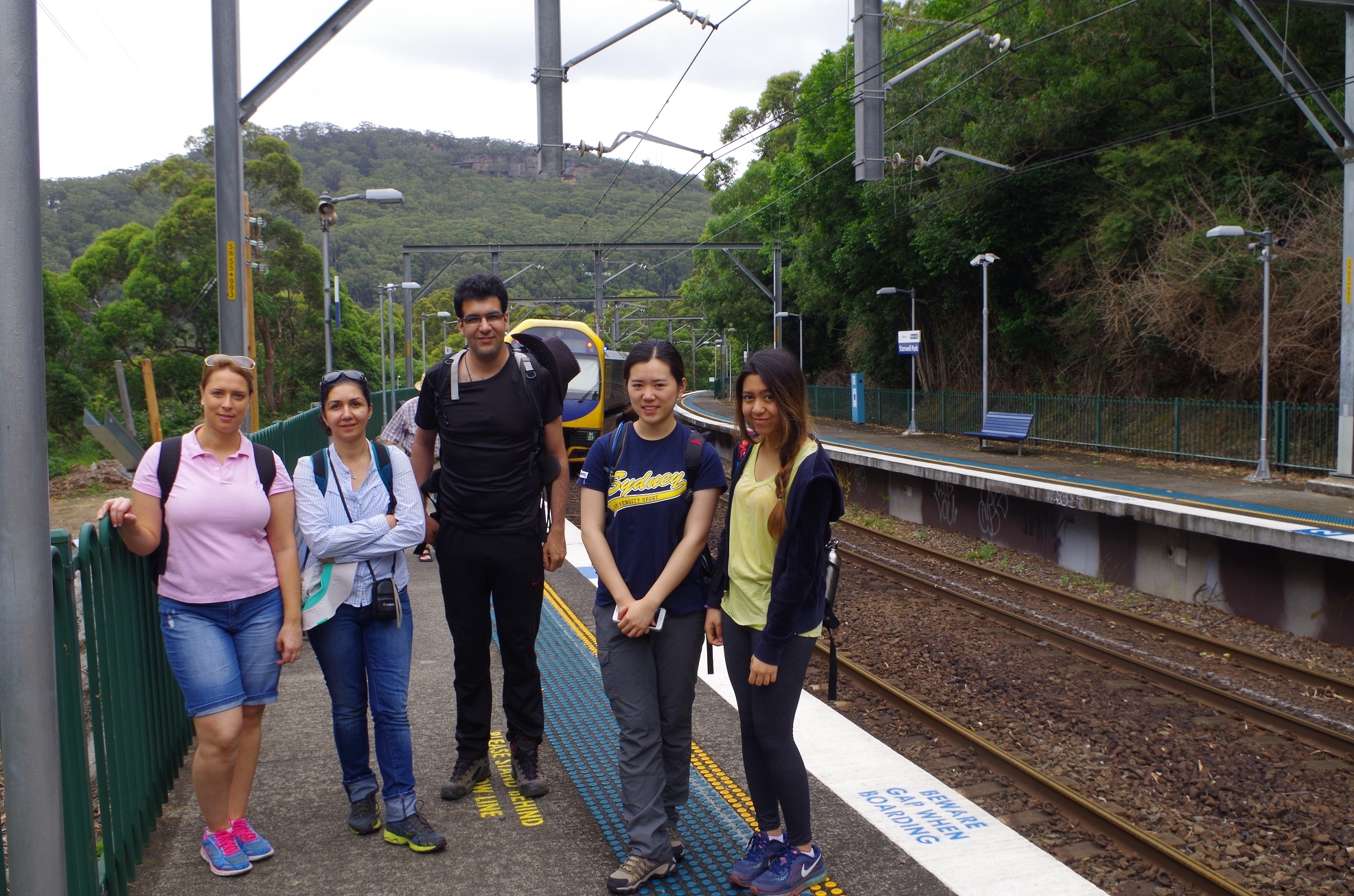
Five of us met up at Central, and Cathie joined us at Sutherland. We proceeded to Stanwell Park with a slight delay due to trackwork at Otford.
Stanwell Park was chosen as the starting point as, although Coalcliff is closer, it has a major drawback. To get to the southern end of the Wodi Wodi track requires walking 600m along narrow Lawrence Hargrave Drive, which has no footpath and virtually no road verge. All that would be needed for a disaster would be an inattentive driver on a mobile phone…
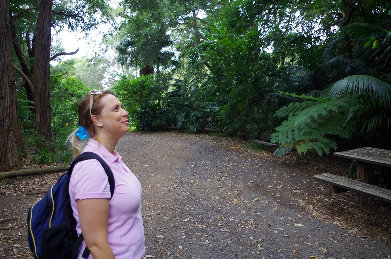
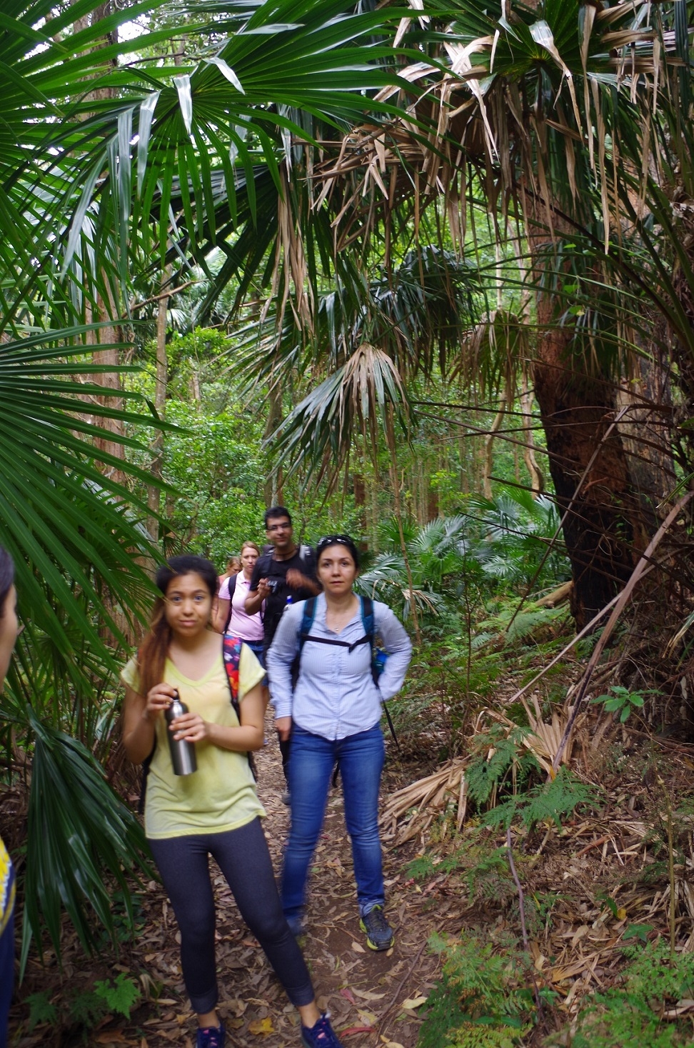
At Stanwell Park we made our way to the beach kiosk via a path behind Station Street. On the corner two women were organising a jumbo sale and invited us in to look; Cathie spotted a nice picture frame but decised it would probably be too heavy to carry on a bushwalk! This path led us to the beach kiosk and toilets through a mini palm jungle. At the kiosk I ordered a pie thinking I would get it on the spot, but I had to wait 10 minutes while it was heated up!
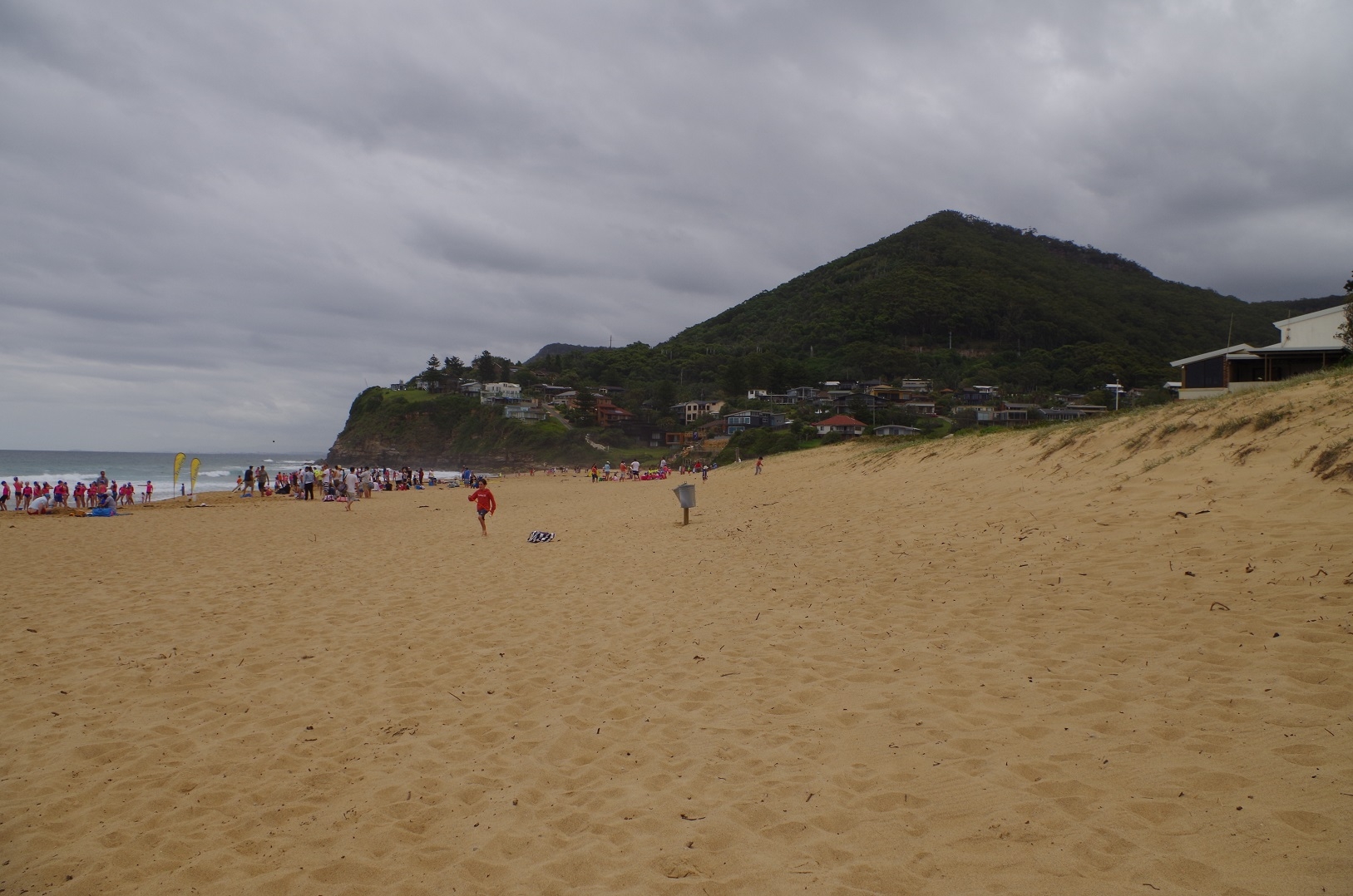
Then we walked along Stanwell Park Beach where a big surf carnival for junior lifesavers (‘Nippers”) was starting.
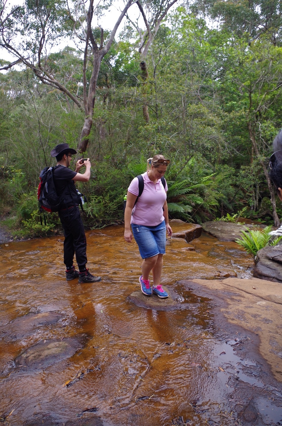
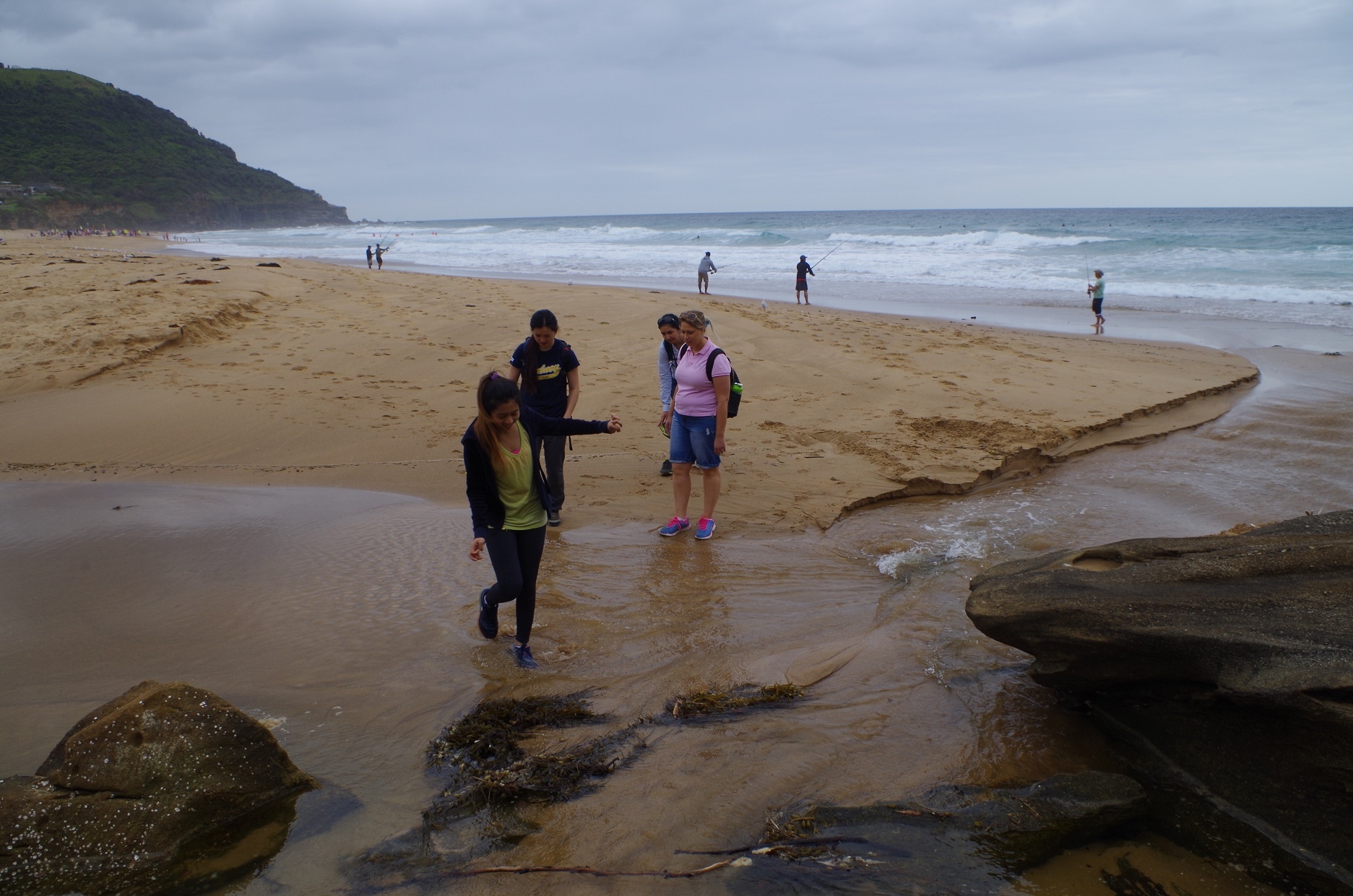
I took a chance that the opening of the lagoon at the southern end of the beach would be shallow enough to cross, and it was. We crossed it and accessed Kalla Road via some ricketty steps and proceeded up the hill to Lower Coast Road, which is actually the old path of the railway. On coming to the end of Lower Coast Road I got an unexpected discovery: it ended at the top of a cutting about 7 metres above the roadway we were to cross! (I had checked Google maps beforehand and they looked to be level – just goes to show). Still, I decided to “press on regardless” and we did a bush bash until we got to a spot where there was only a 1 metre drop to the road, and we then proceeded along Lawrance Hargrave Drive for about 150 metres.
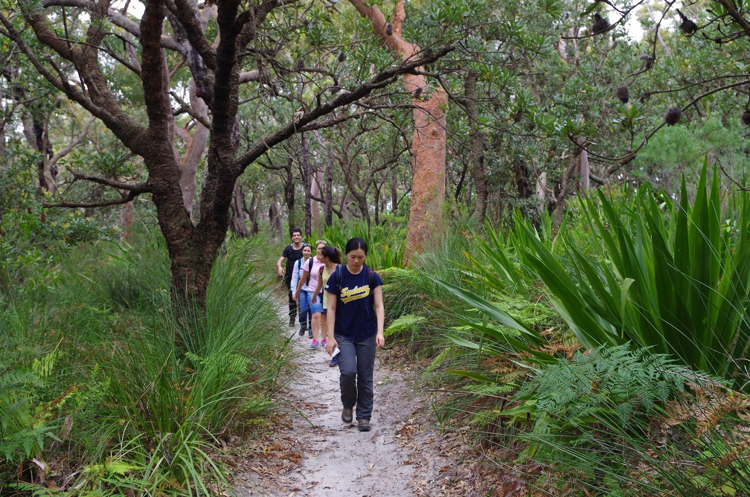
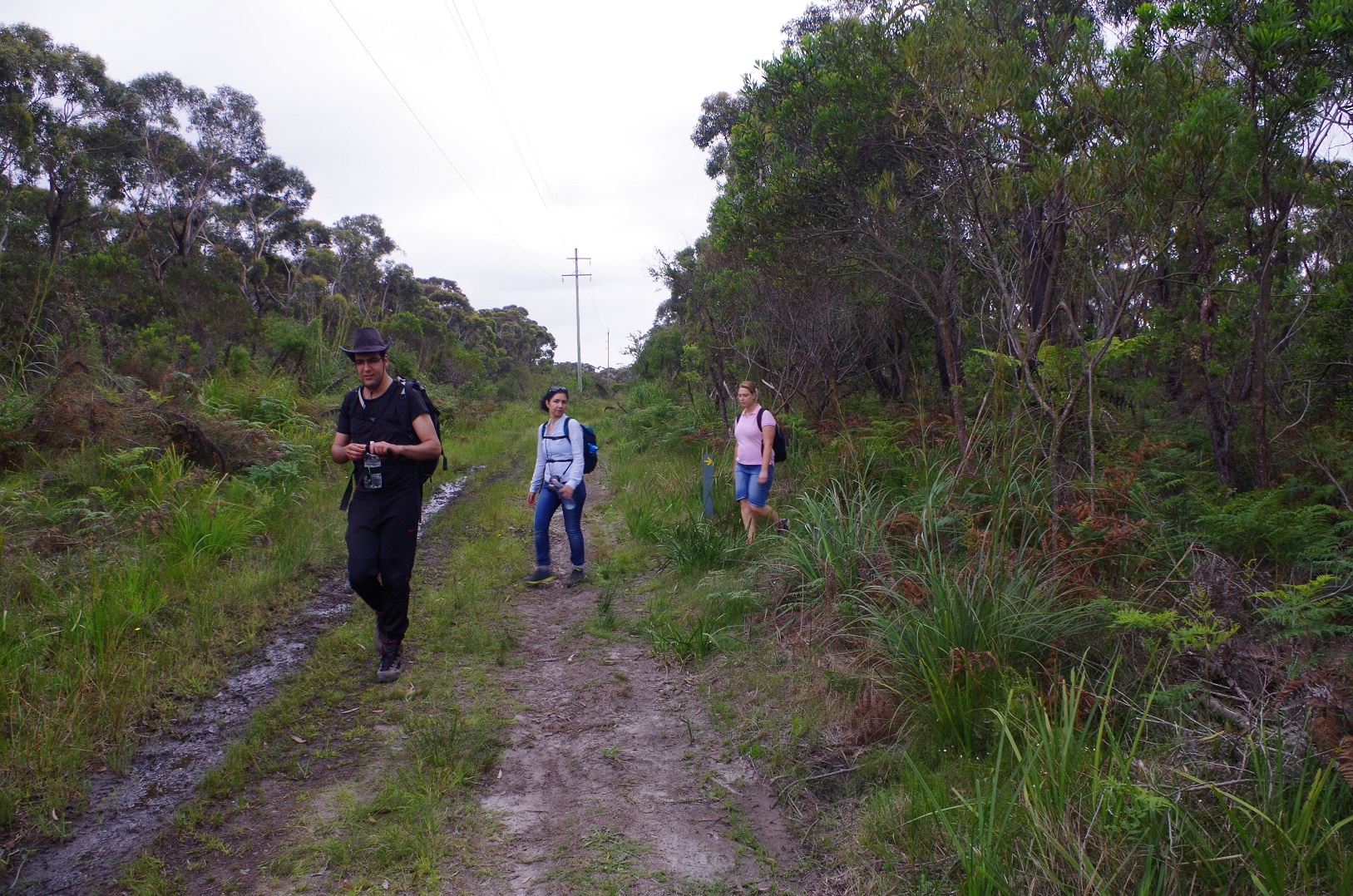
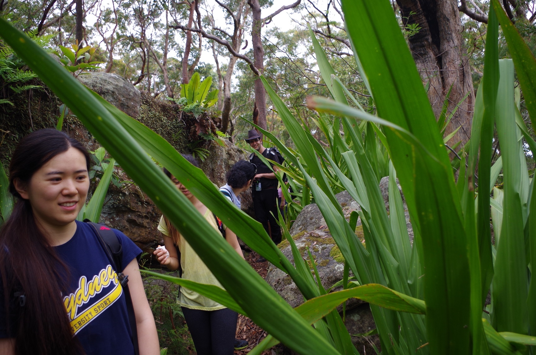
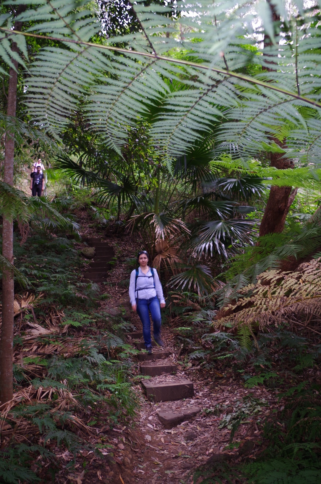
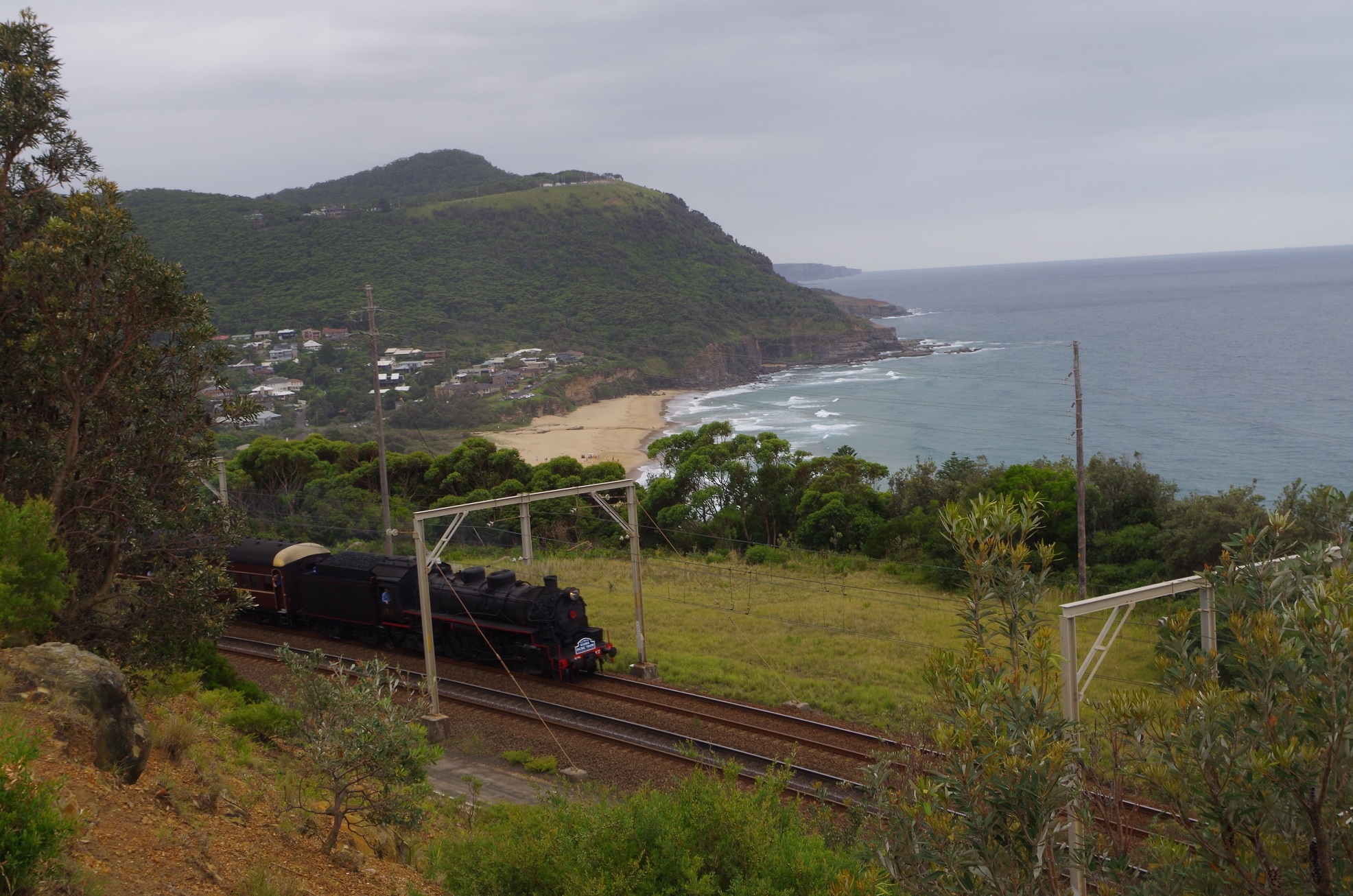
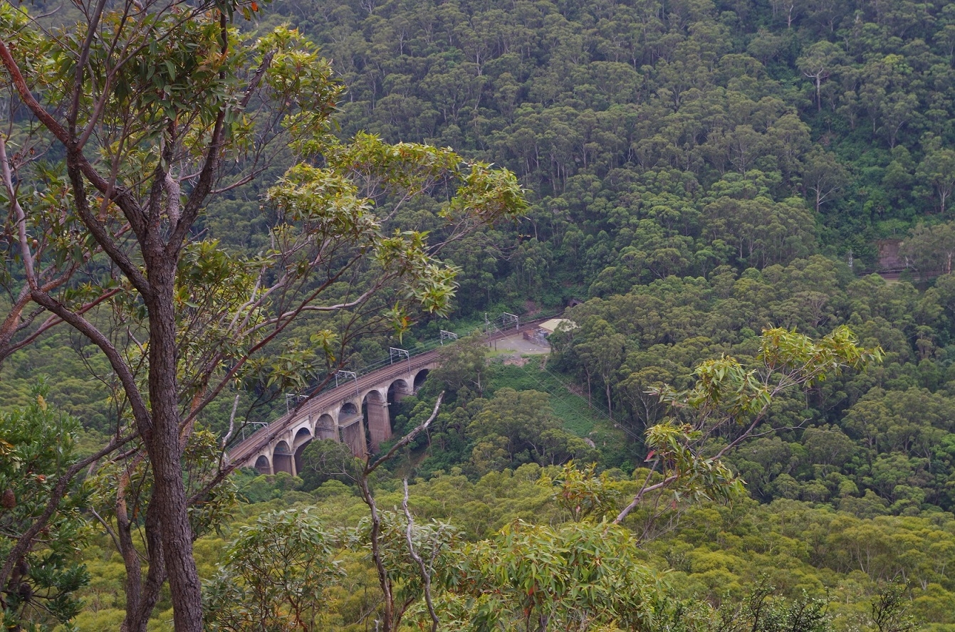
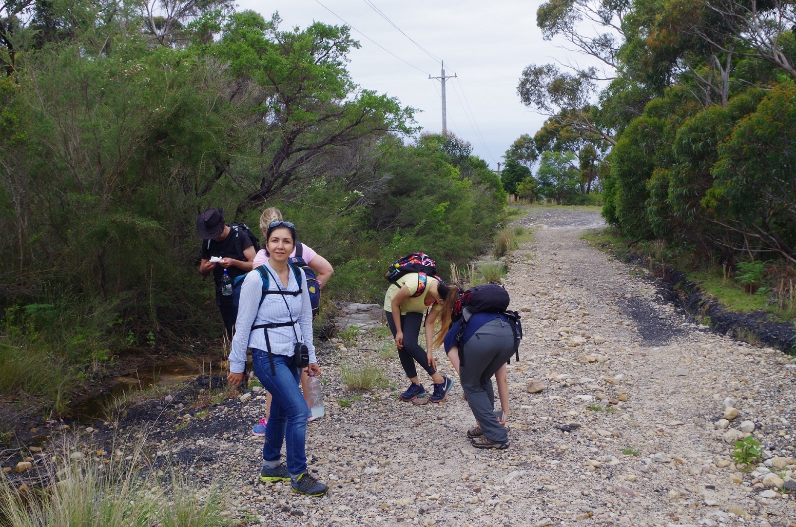
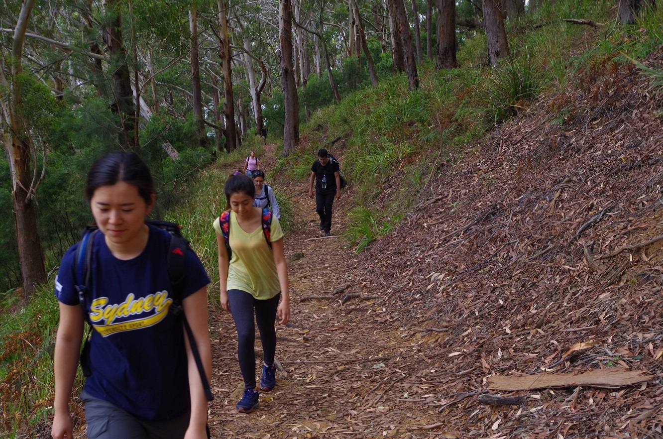
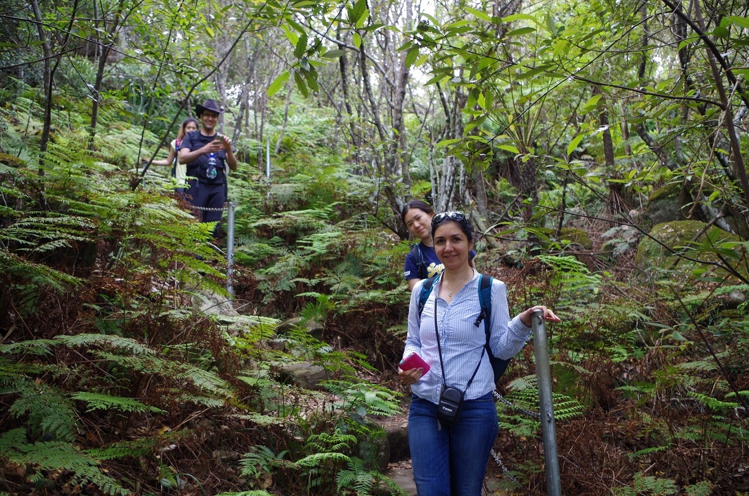
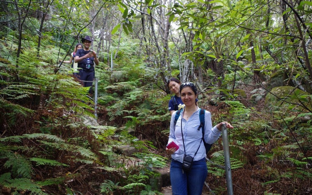
We then found the underpass beneath the railway which is the southern start of the Wodi Wodi track. The track starts its way up the hill quite gradually and at one point there is a spot with a view overlooking the beach. We had a morning tea break there and watche3d a steam train pass by. Then we continued along the track which is reasonably easy to follow. I looked out for the junction with the Forest way track.
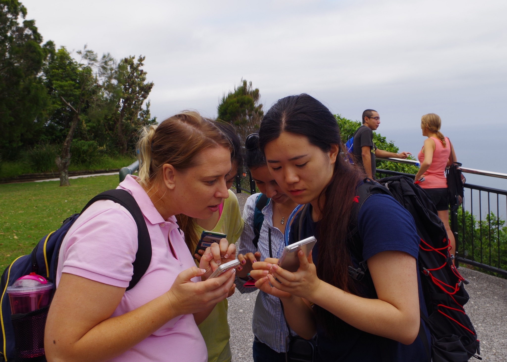
About 1 km along I noticed a vague track going up the hill which wasn’t signposted and initially I went past it, but then Alireza spotted a lone walker going along the track and on closer inspection it seemed to become more defined as it went up the hill. So we went along it (track note by other people have mentioned an “un-signposted track” so it was a reasonable assumption that it was the start of the Forest Way.) Indeed, it is actually a “short cut” as further along we came to a junction with a well formed track with steps that went steeply downwards – presumably to meet the Wodi Wodi Track. I assume that this is the “official” start of the Forest Way track.
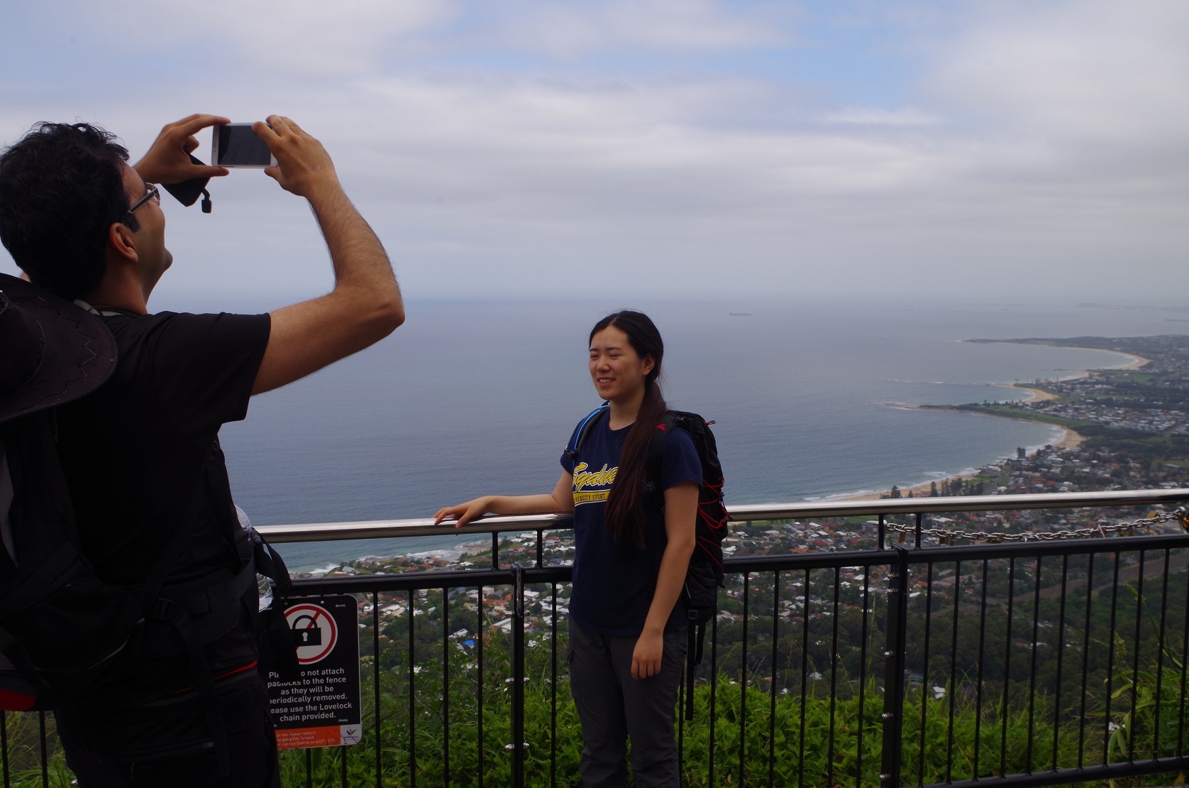
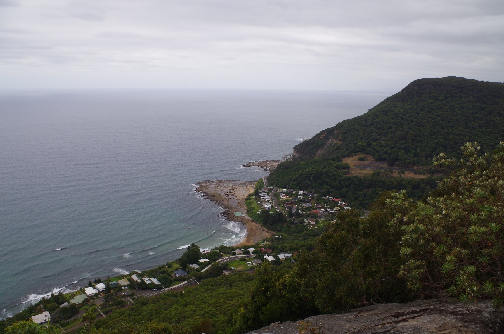
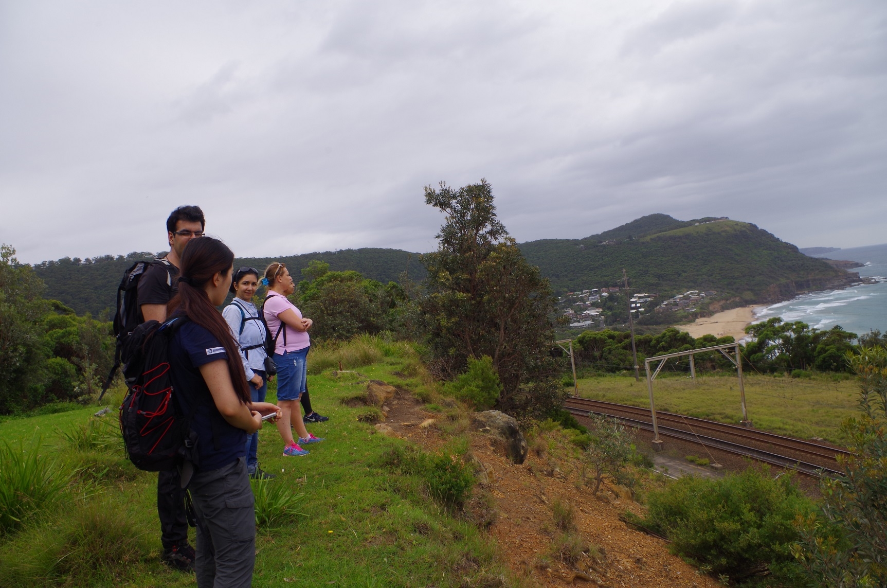
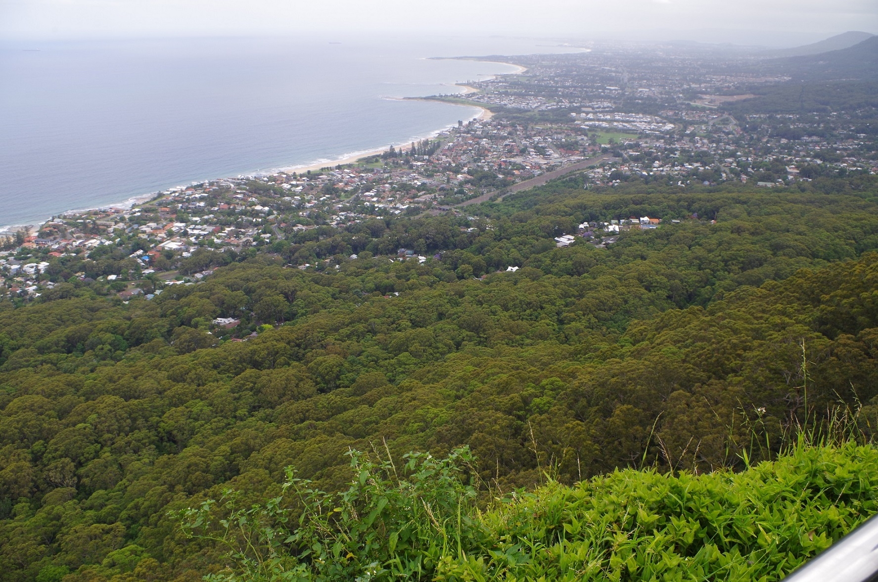
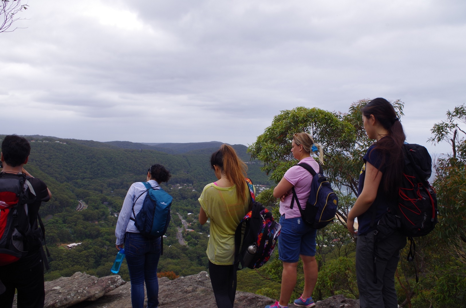
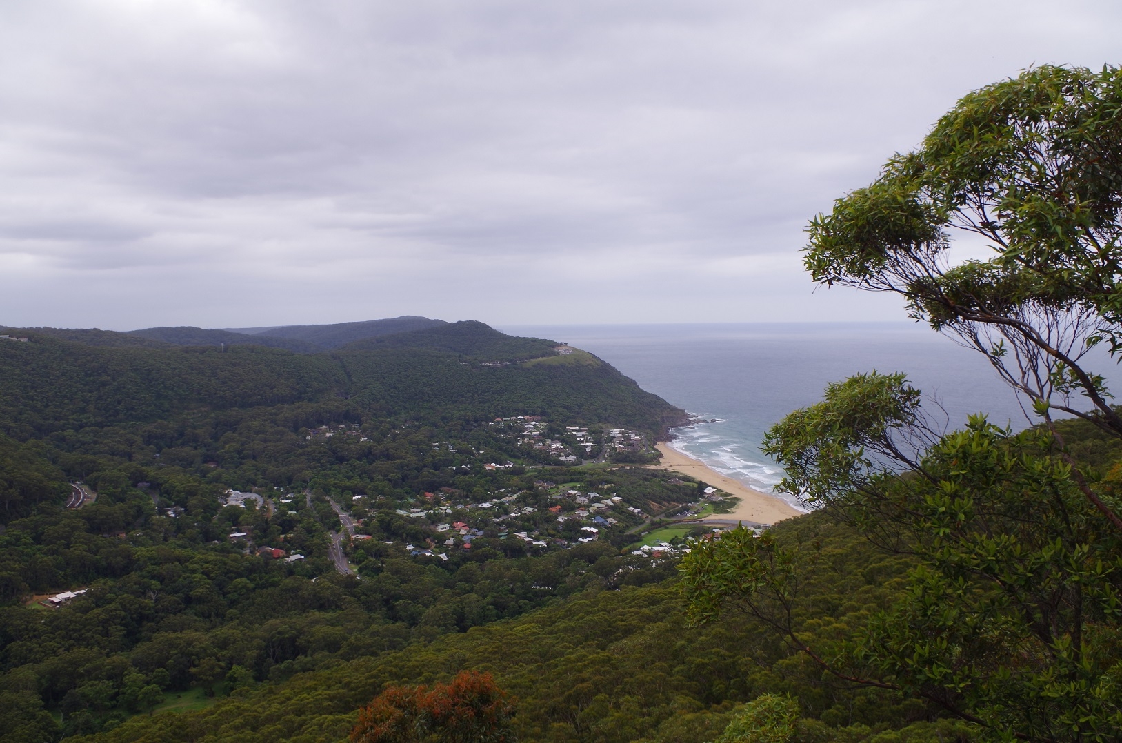
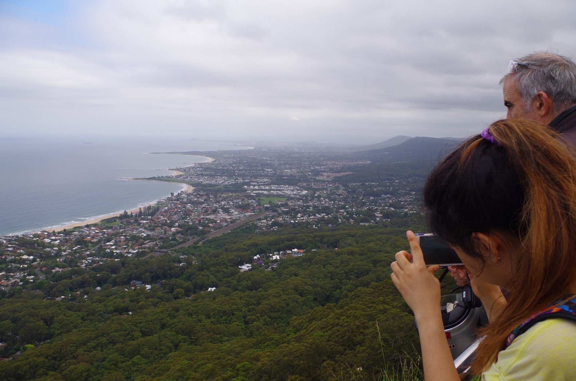
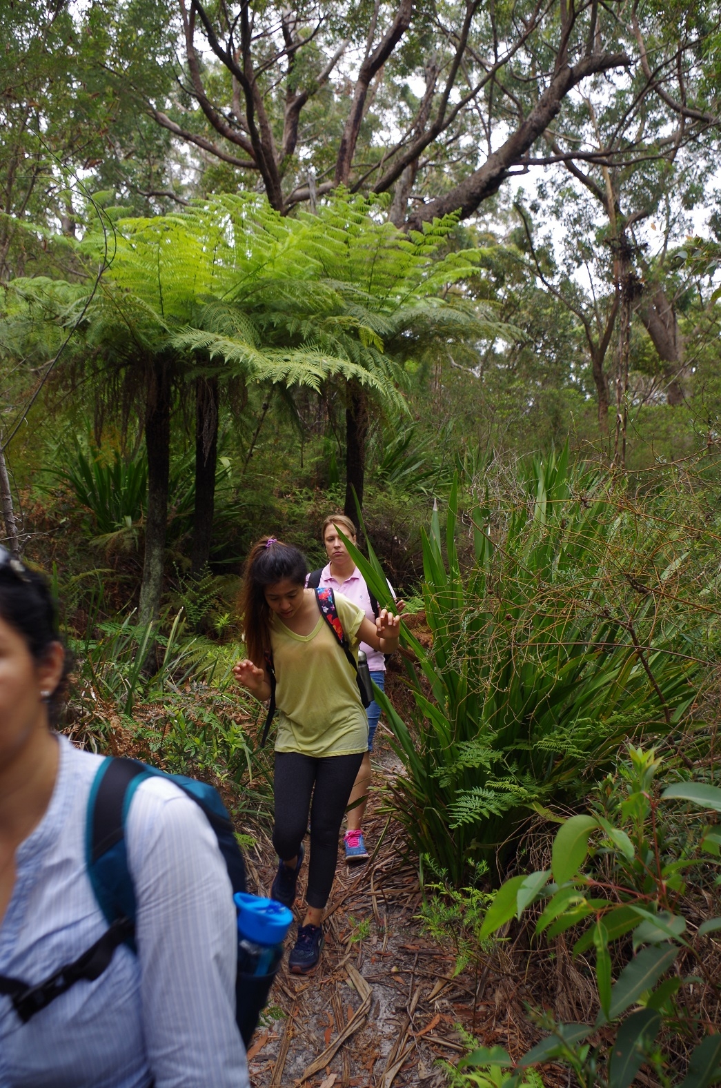
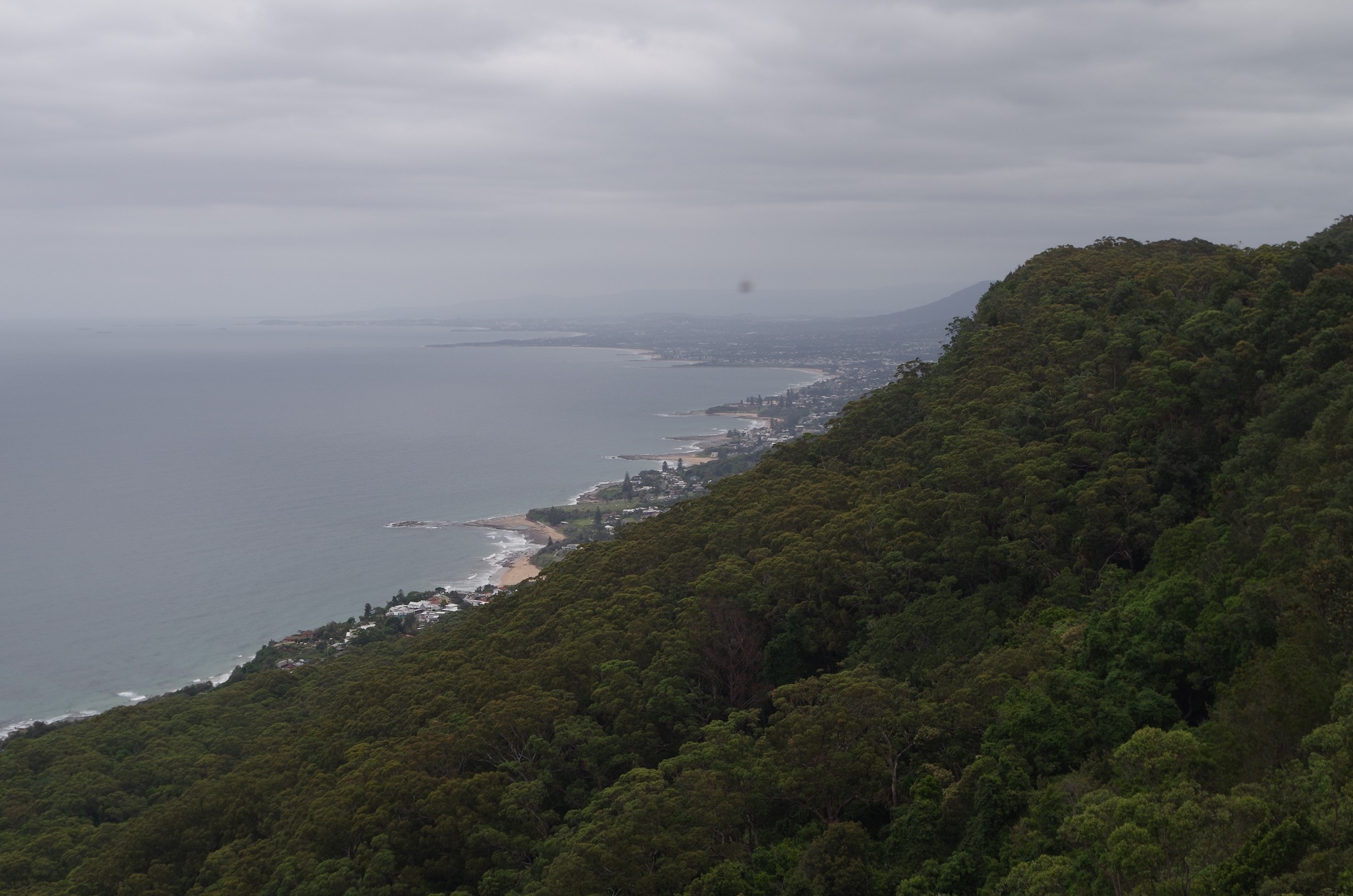
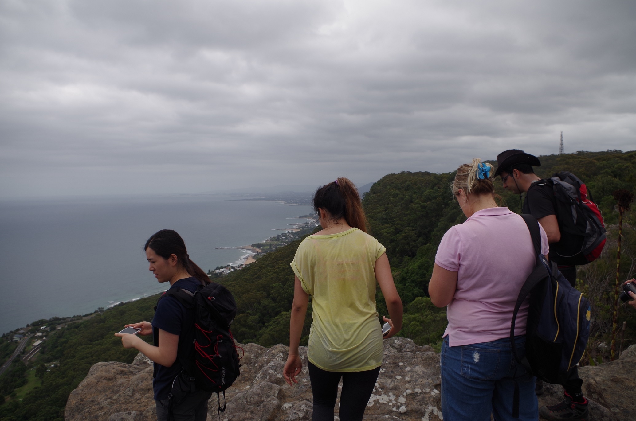
The Forest Way climbed up the escarpment along a track which was not as steep as I though it would be – mild compared to some Blue Mountains tracks. It reaches the top at a point which Christian Wilson on his March 2015 walk called the “Lunch Rock”. It provide an excellent view over the whole of Stanwell Park.
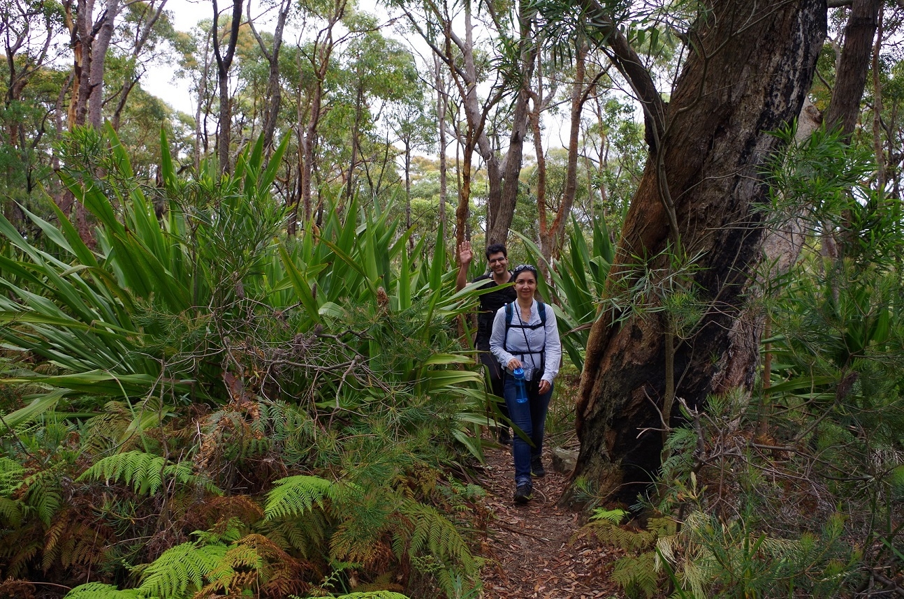
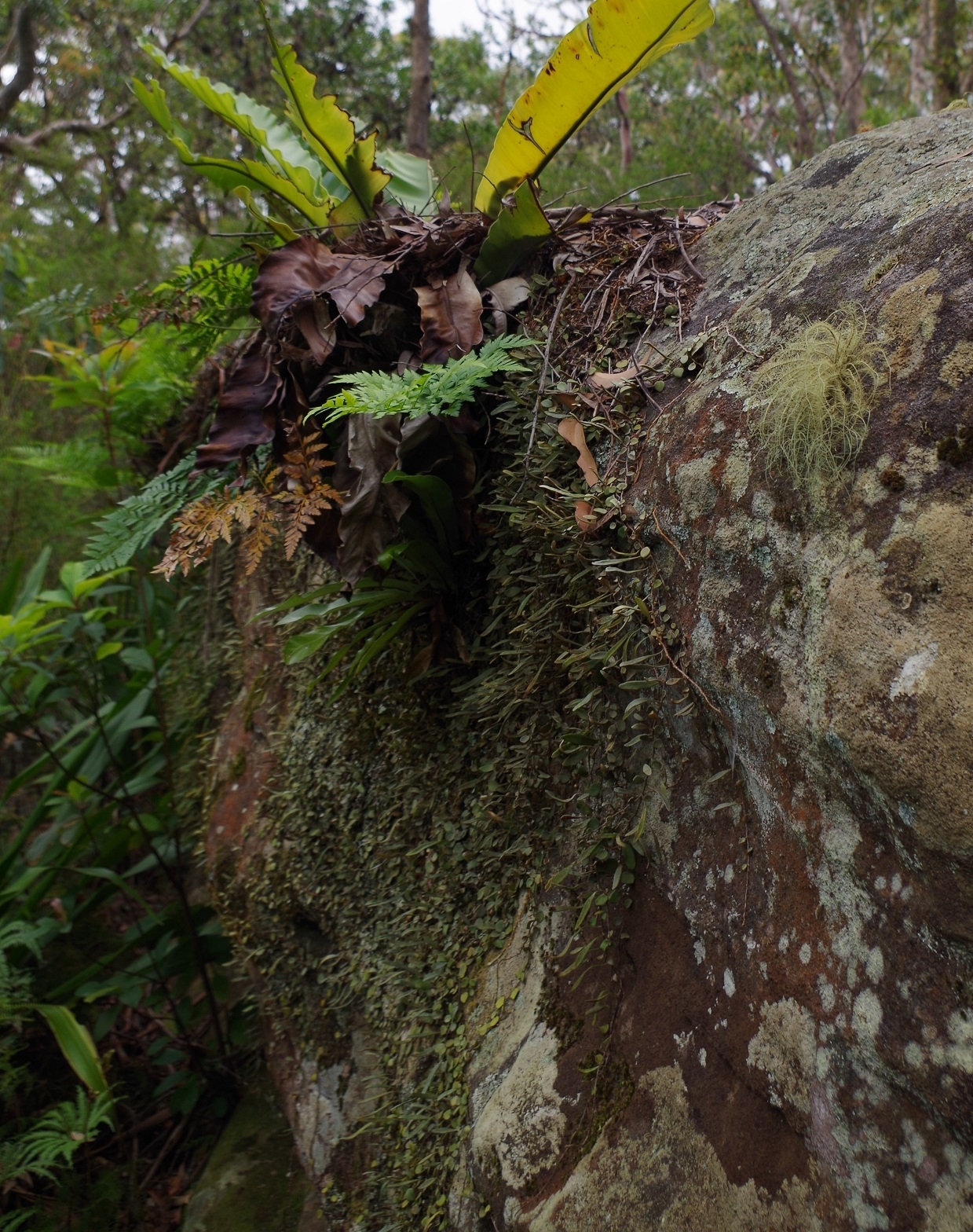
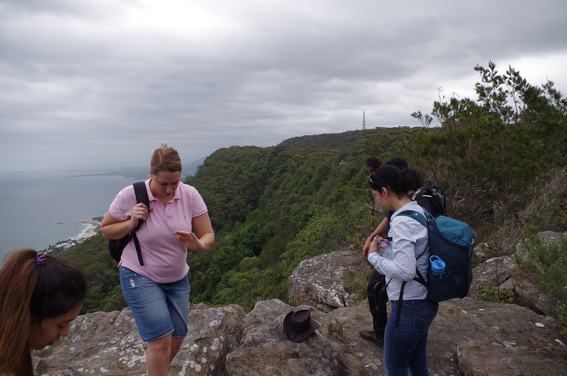
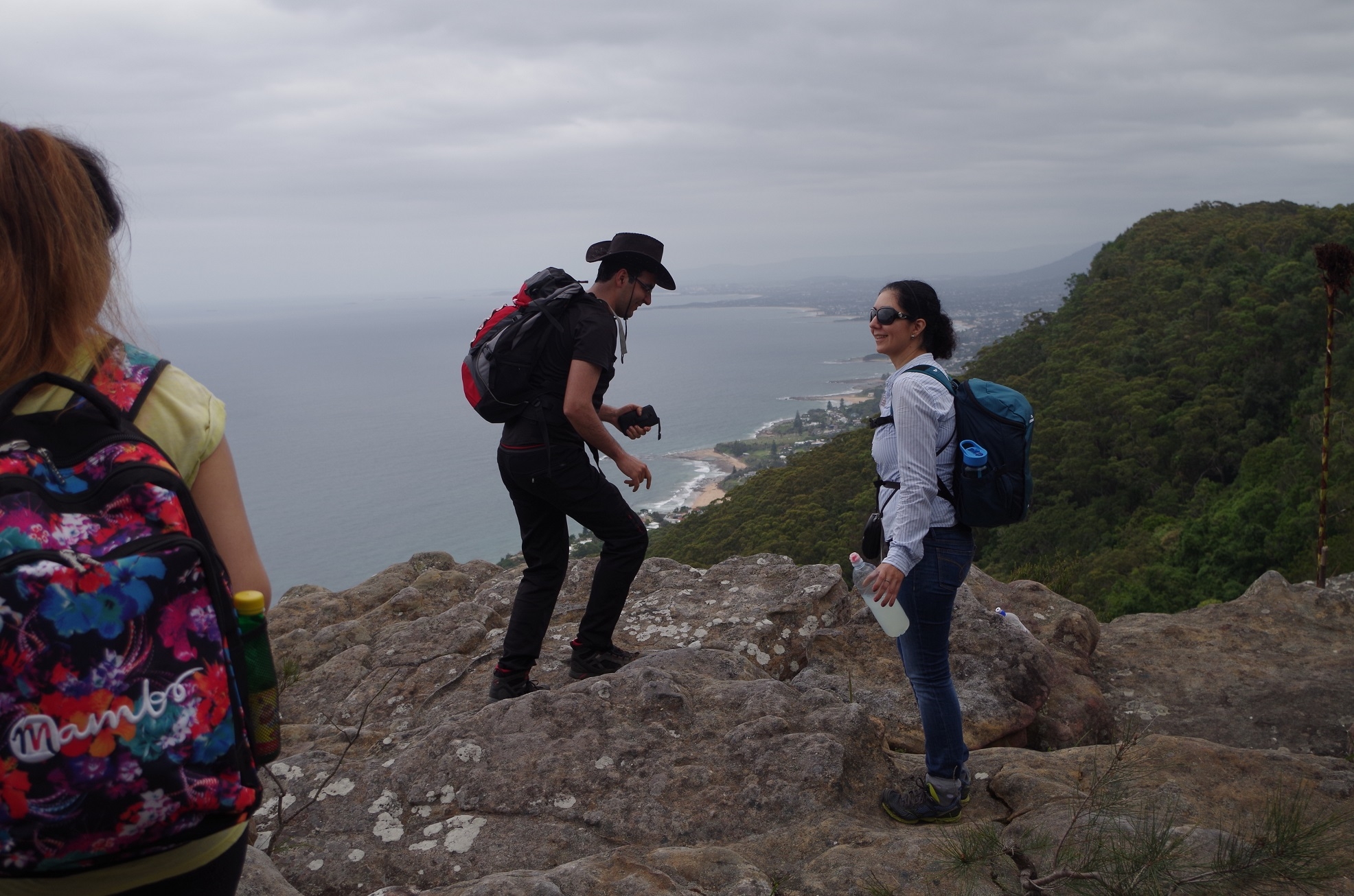
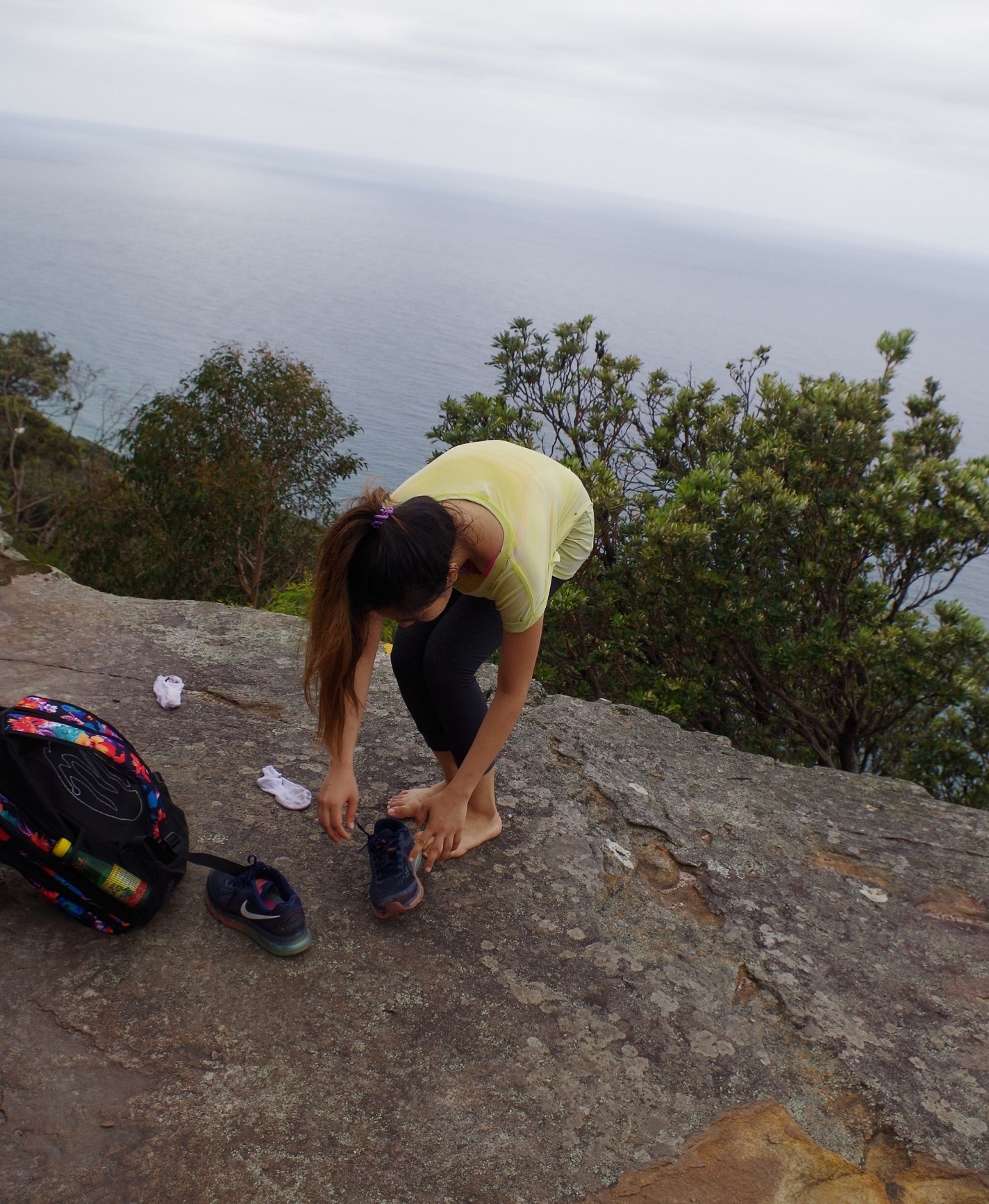
After a photo-stop here we continued along the track which had become mostly fairly level and through woodland. But halfway along, Zurina let out a yell – had she seen a snake? No, it was leeches! So we made a halt here so she could de-leech herself (it was a dry location so no chances of more leeches hopping on while we stood still). Then it was on to another lookout just above Coalcliff where more leeches were found on Cathie as well, and so more de-leeching. So we continued on until finding another lookout above Scarborough which gave more views down the coast. Here we had lunch and it was Farahnaz’s and Anqi’s turns to remove a leech.
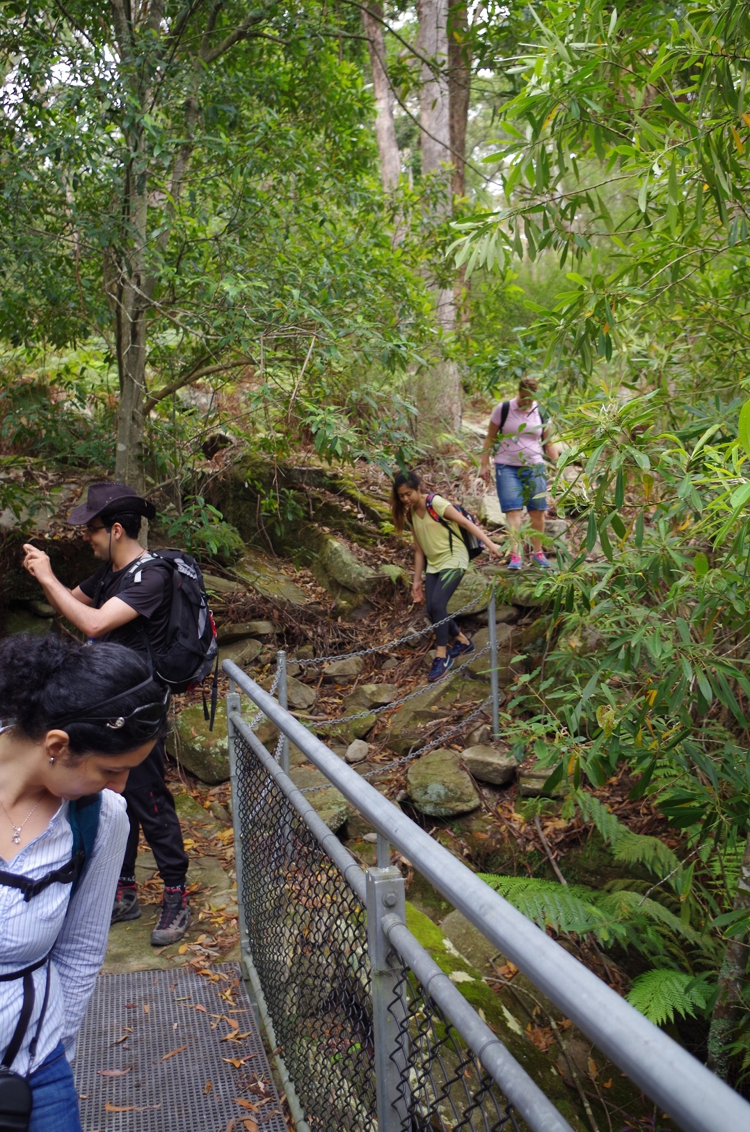
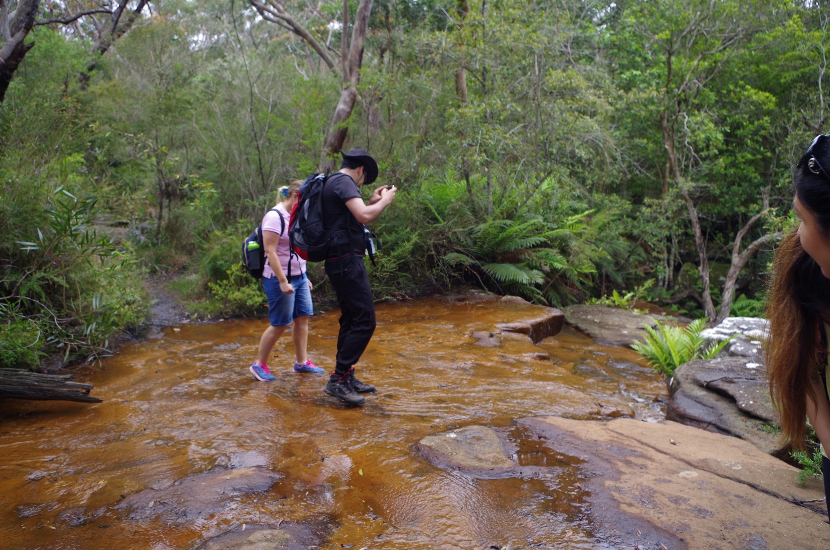
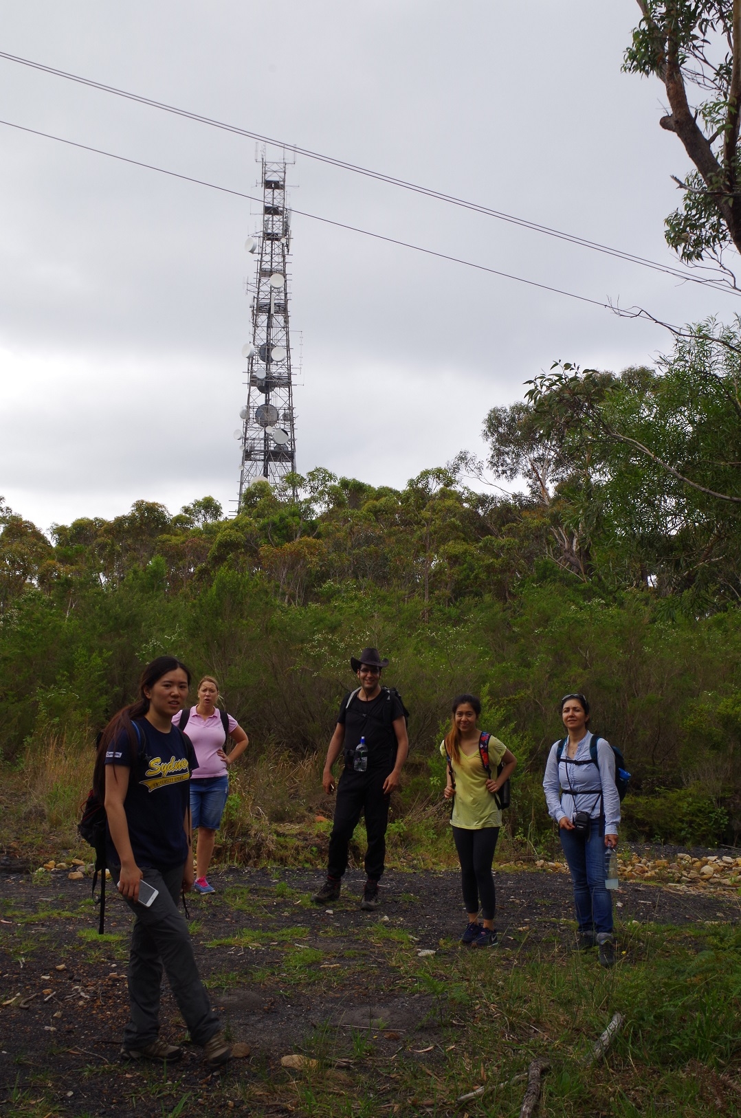
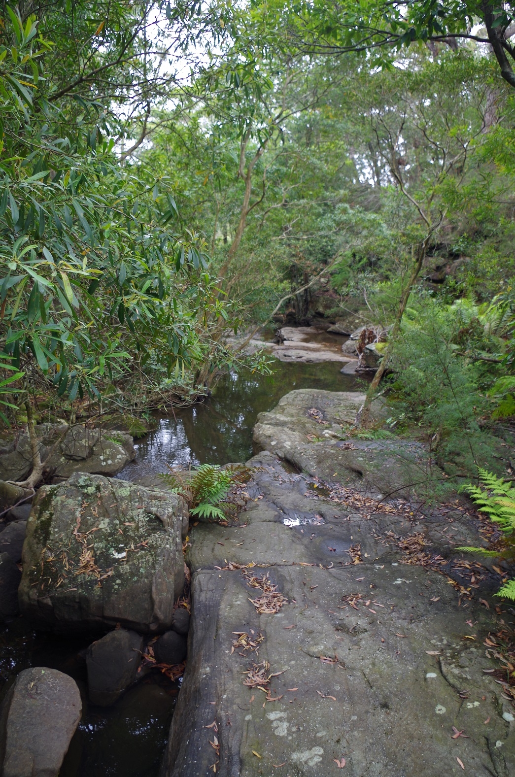
After lunch we continued on, coming to some gullies which are bridges, providing a leech-free creek crossing, but also an unexpectedly mildly steep climb back out. After a while the track came to a road which must be a service trail and located quite close to a communications tower which provides a handy landmark and can be seen along much of the walk, so provides a “way point”.
Couldn’t help noticing lots of coal beside the roadway here.
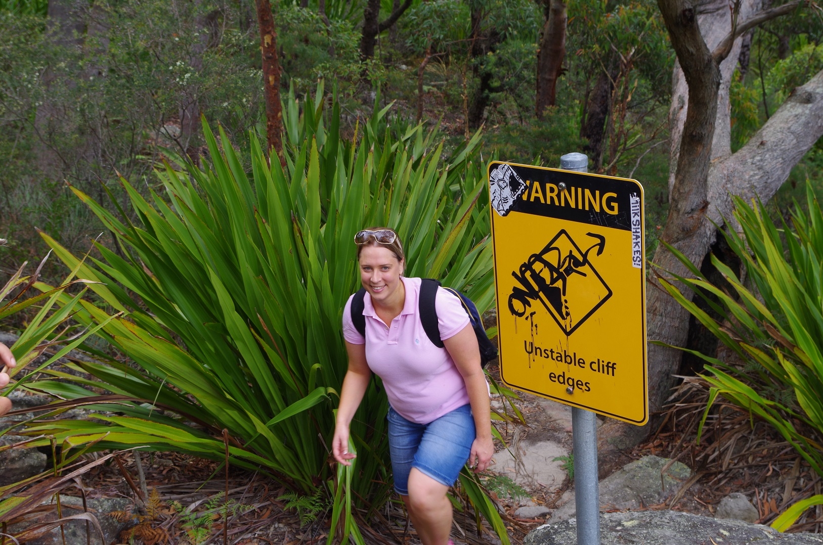
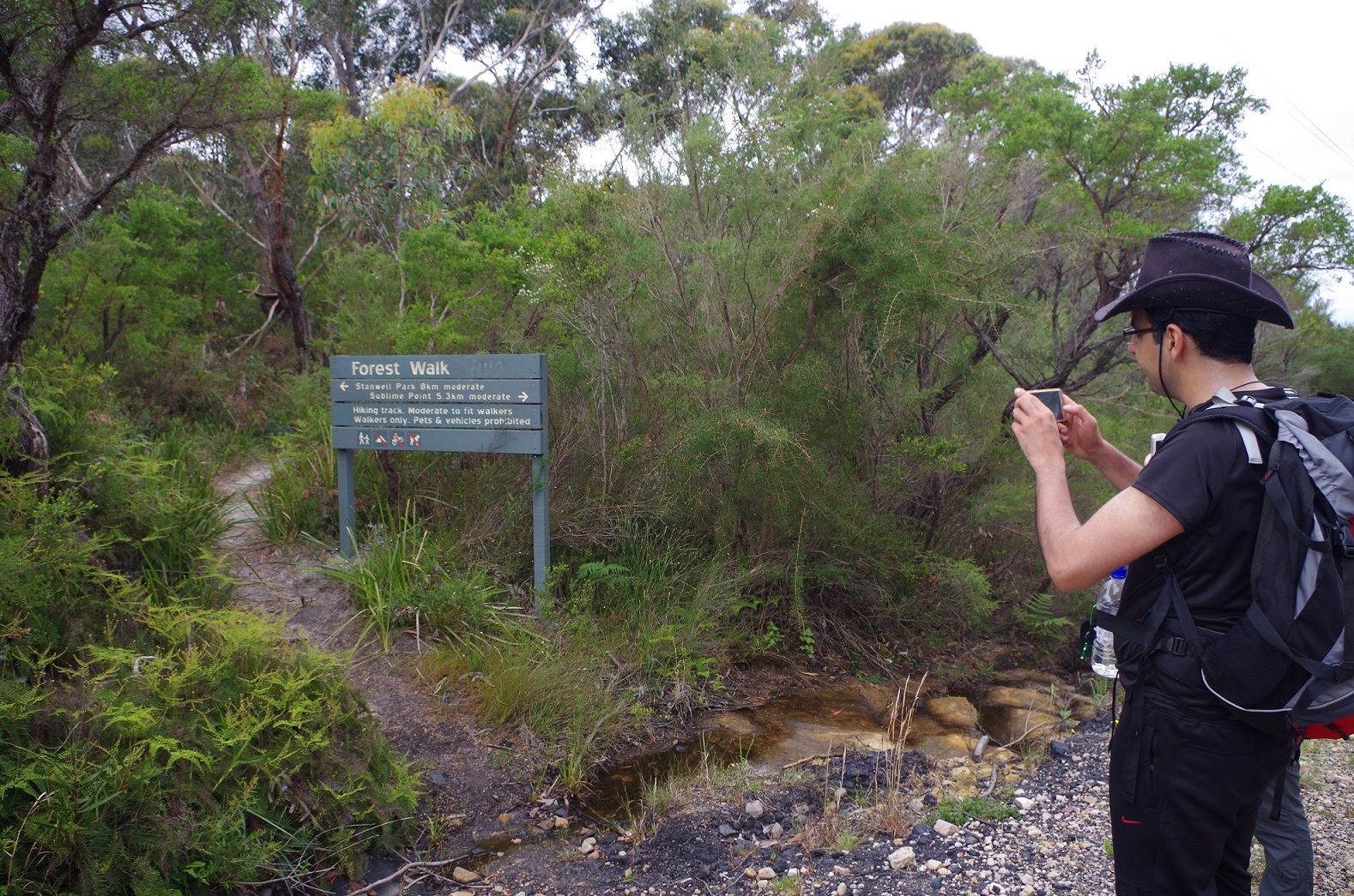
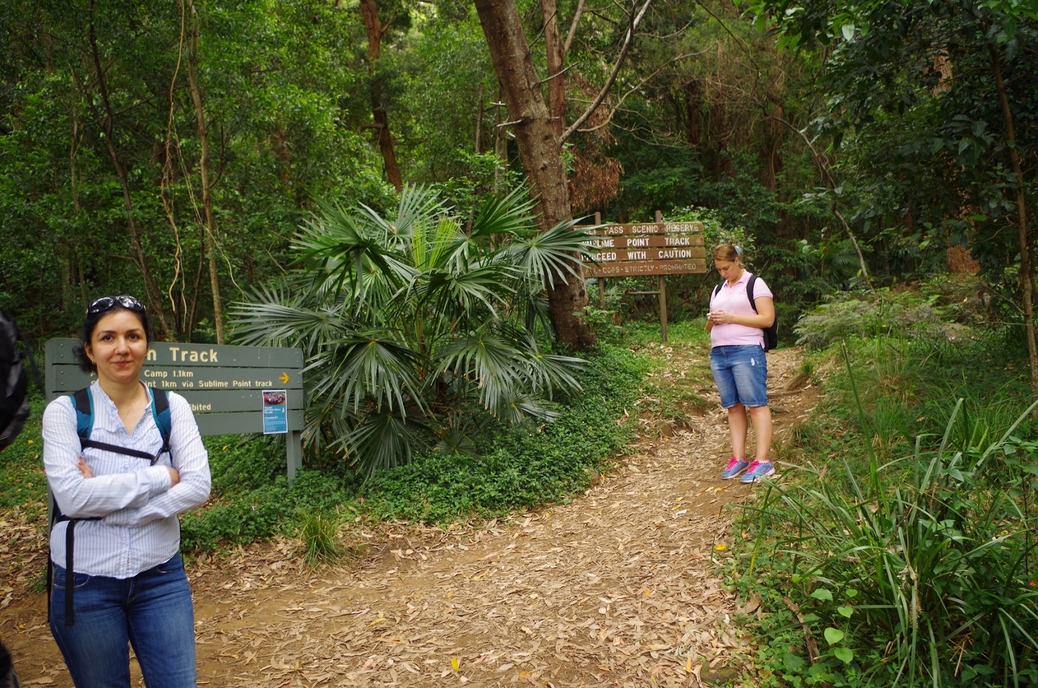
So this was the end of Forest Way part one, and until about 10 years ago was the end of the track, requiring the walk to be completed via the Prince’s Highway. The track (part 2) however continued on again on the other side of the road, through sedge swamps via a walk way, and eventually led to a service trail for for powerlines. We duly followed the arrow, noted that at one point the powerlines suddenly dipped at a 60 degree angle to descend the escarpment, and decided that it might not be a good idea to follow them but followed the trail and it turned to the right. And then we got a surprise – we suddenly found ourselves at the Prince’s Highway, still 4km short of Sublime point!
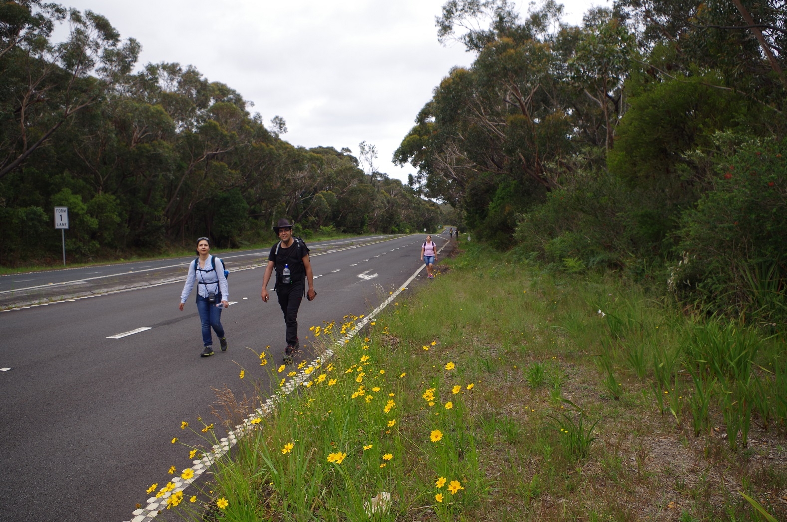
This wasn’t part of our plan, and nor could the group who had get there ahead of us work it out either. All the information on the websites said the track continued on all the way to Sublime Point. Also, the sign for Forest way part 2 called it a “moderate level walk”. Walking along the Price’s Hwy was hardly moderate! Still, we had no choice, so both groups set out along the road, which fortunately has a very wide verge and also light traffic (most vehicles now take the newer Southern Freeway). It was a boring 4km walk until we reached the side road to Sublime Point, but at least it was dead straight, and paved.
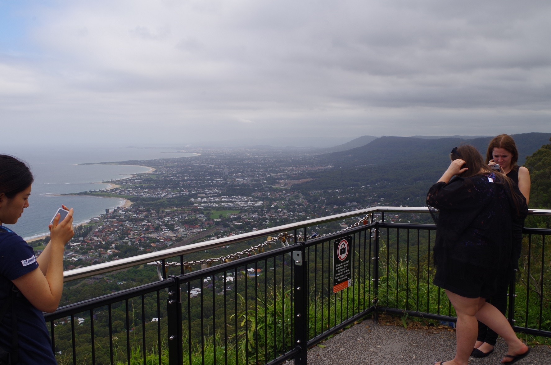
On reaching Sublime Point Lookout we had a well earned rest (and a toilet break) and I looked round for a sign indicating the start of the Forest Way. there was none, although the “Woodward Track 700m loop” was signposted. We also took the opportunity to dress some blisters that Zurina had acquired on her feet along the way.
At Sublime Point we admired the great view which also attracts many tourists (and wedding parties – there was one in progress while we were there).
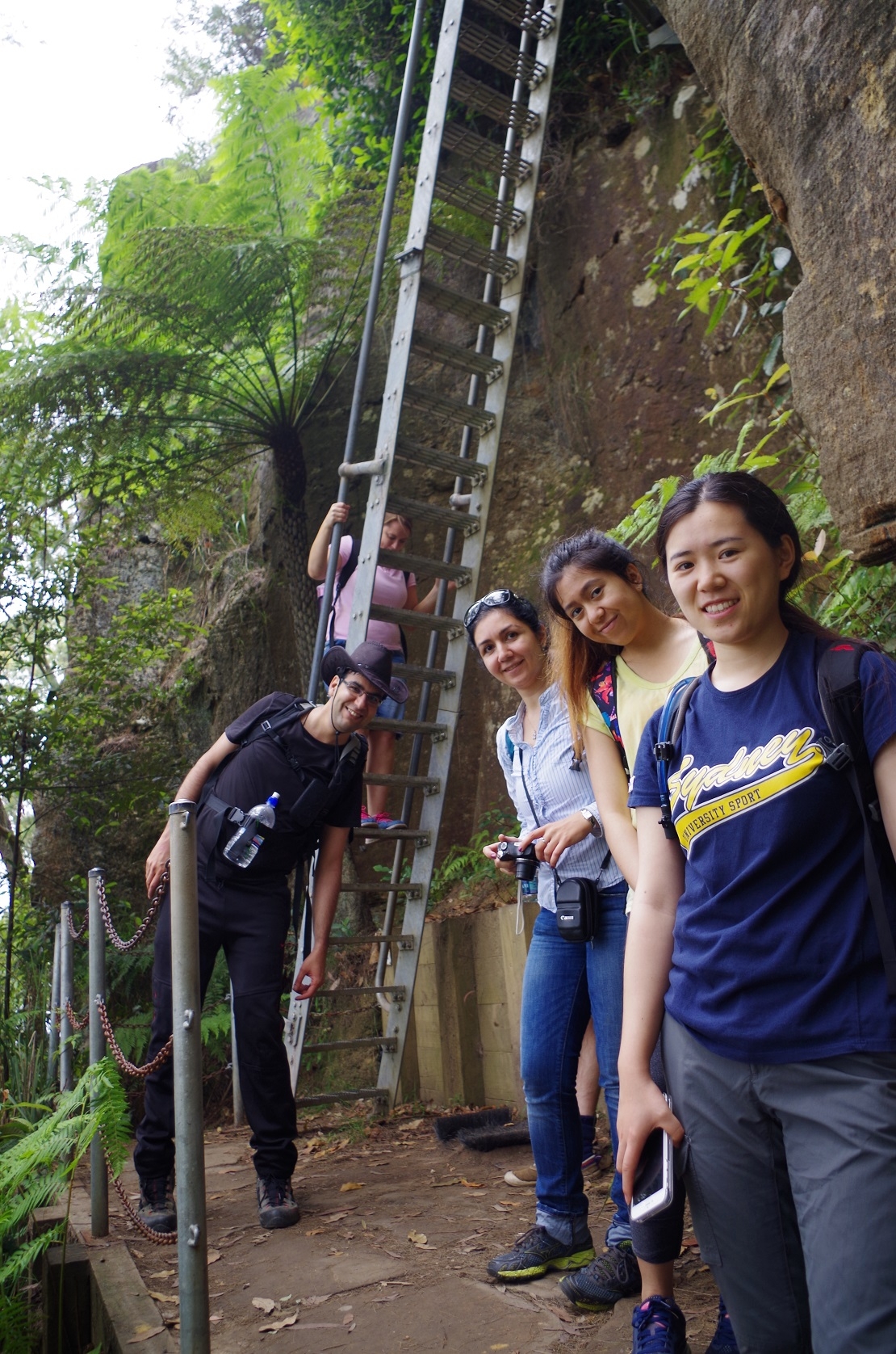
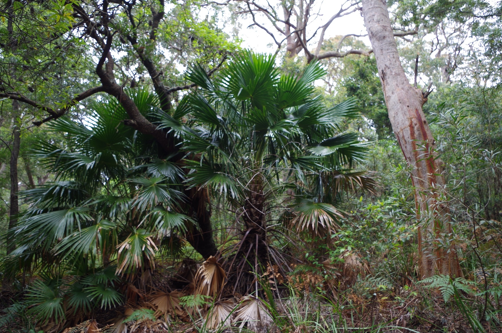
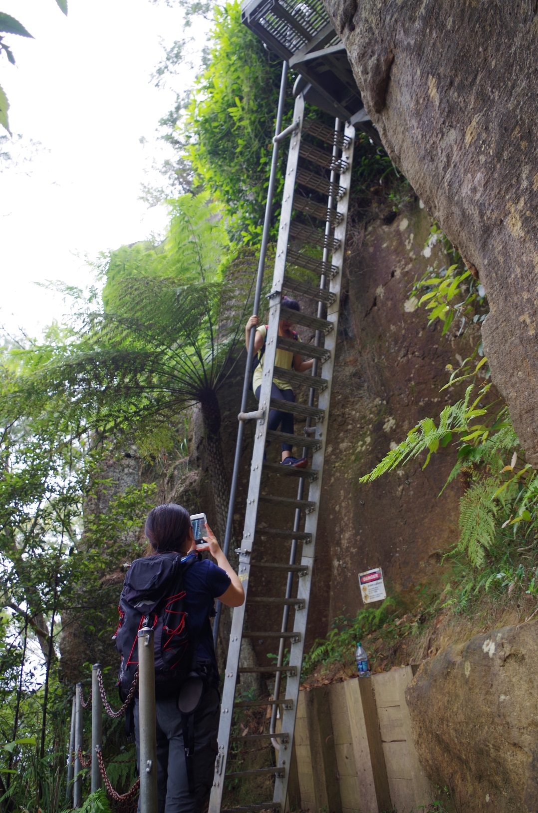
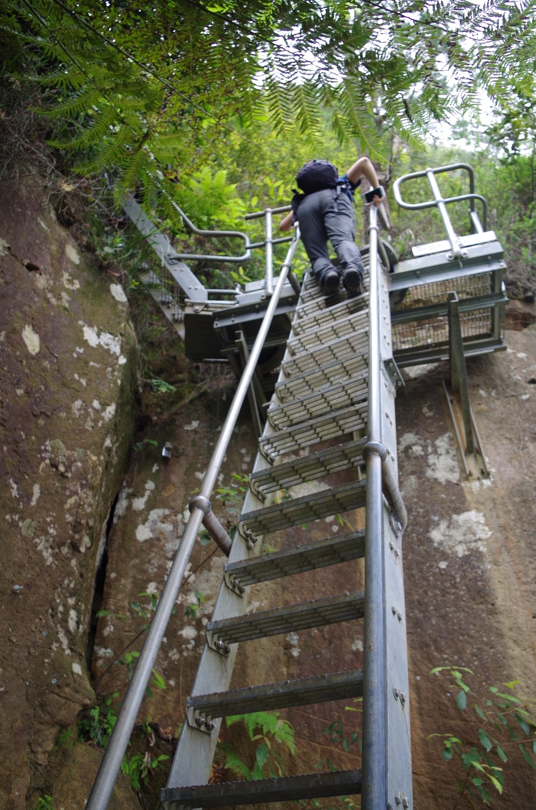
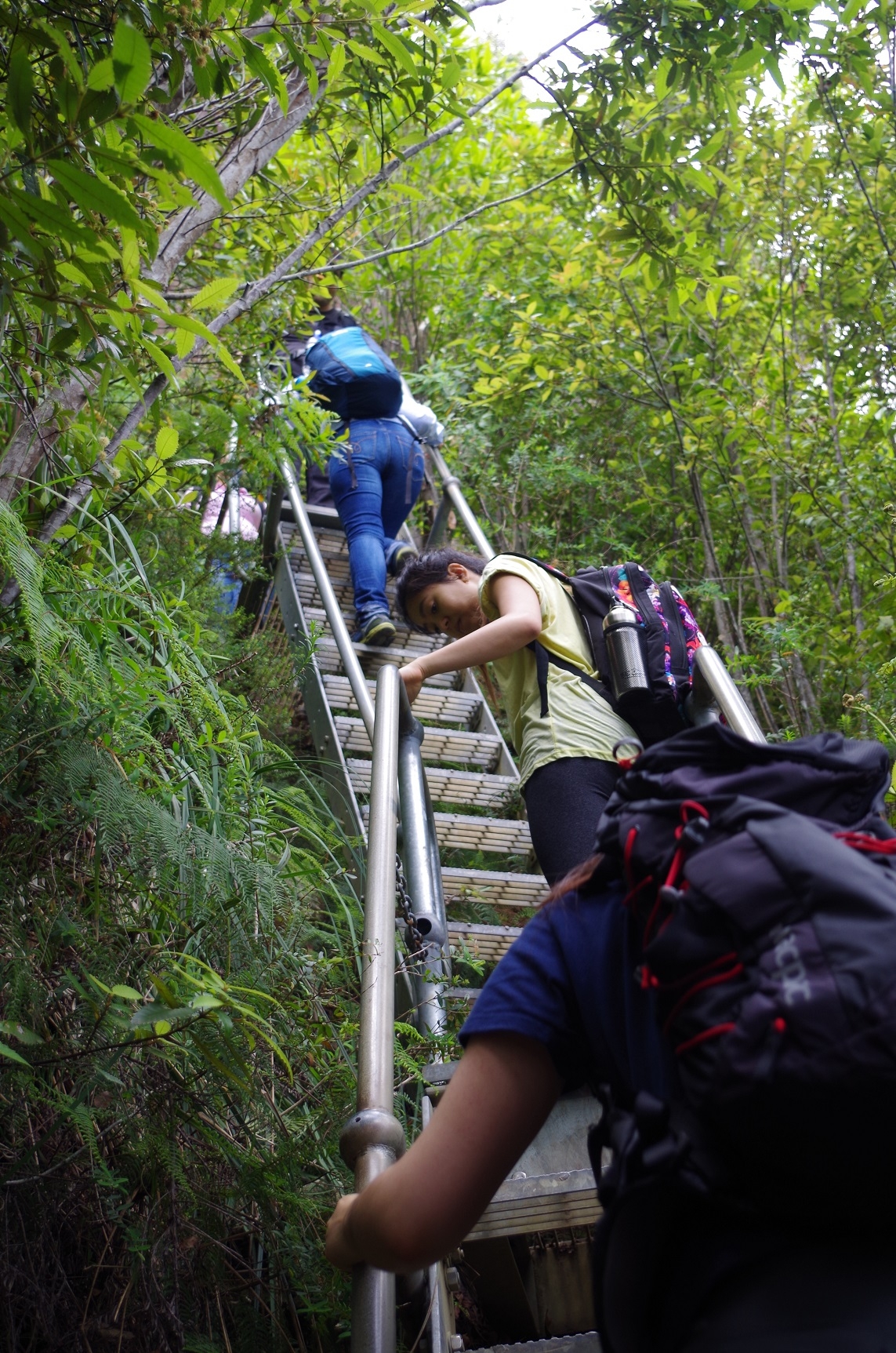
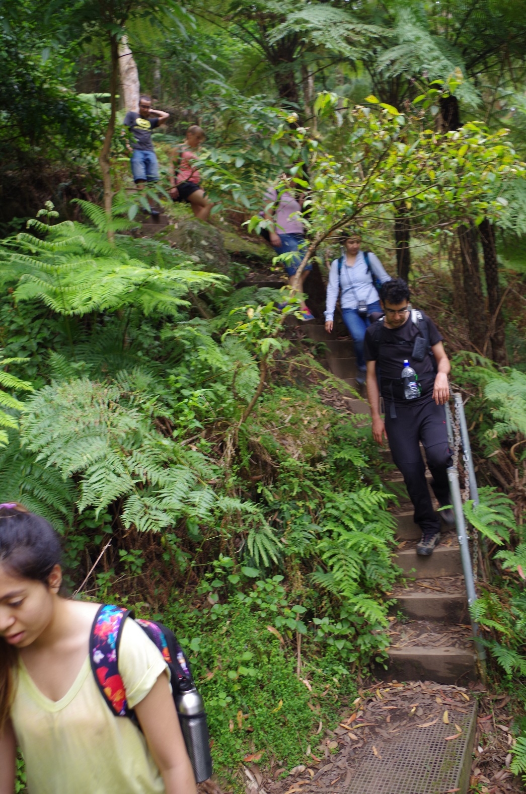
The houses below looked so tiny – and then we realised that that’s where he had to climb down to! So we set off on the final track, the Sublime Point Track which goes to Austinmer. It starts dropping down gradually at first, then steep stone steps, until reaching a series of seven steep ladders, each longer than those at Slacks Stairs near Wentworth Falls (Blue Mnts). Then It was down via a series od semi-spiral steep wooden steps that seemed to go on and on (semi spiral because at each half-circuit, the steps then reversed direction). Eventually we reached the bottom which levelled off through a palm jungle, with lots of forest birds calling.
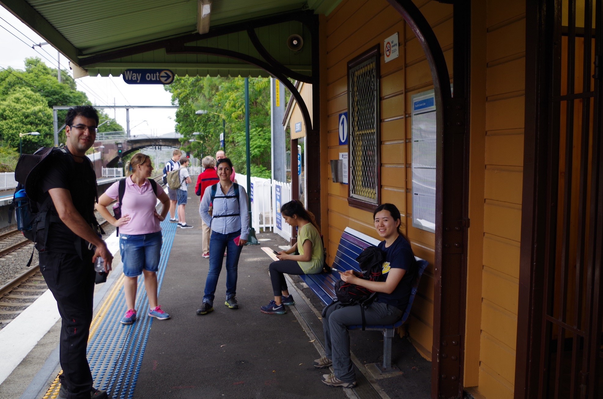
We then suddenly were in suburban streets, but the directions to the railway were not signposted, so it was a matter of noting the street map at the entrance to the Track and hoping we didn’t make a wrong turn.We ended up at Austinmer Station a mere four minutes before the next train (and the trains there are one every 2hours!).
It was a very good walk despite the unexpected slog along the Prince’s Highway, and everyone enjoyed it. The weather was good. It was about 18km as we did a deviation at Stanwell Park via the beach. It is an area deserving of more attention as it is only 70 minutes by train from Central and has great views along the way. The climb UP Sublime Point track would be very challenging though. Our Leech count was somewhat less than that experienced by Christian Wilson’s group back in March, but he walked via the damp gullies at Stanwell Park which we avoided.
My photo link: https://www.flickr.com/photos/brstafford/albums/72157661560403405/with/23207327616/
Bruce Stafford.