Trip Report: Mt Victoria 11th November 2012.
Rapport de voyage: Mt Victoria 11 novembre 2012.
Trip raport: Mt Victoria 11 listopada 2012 roku.
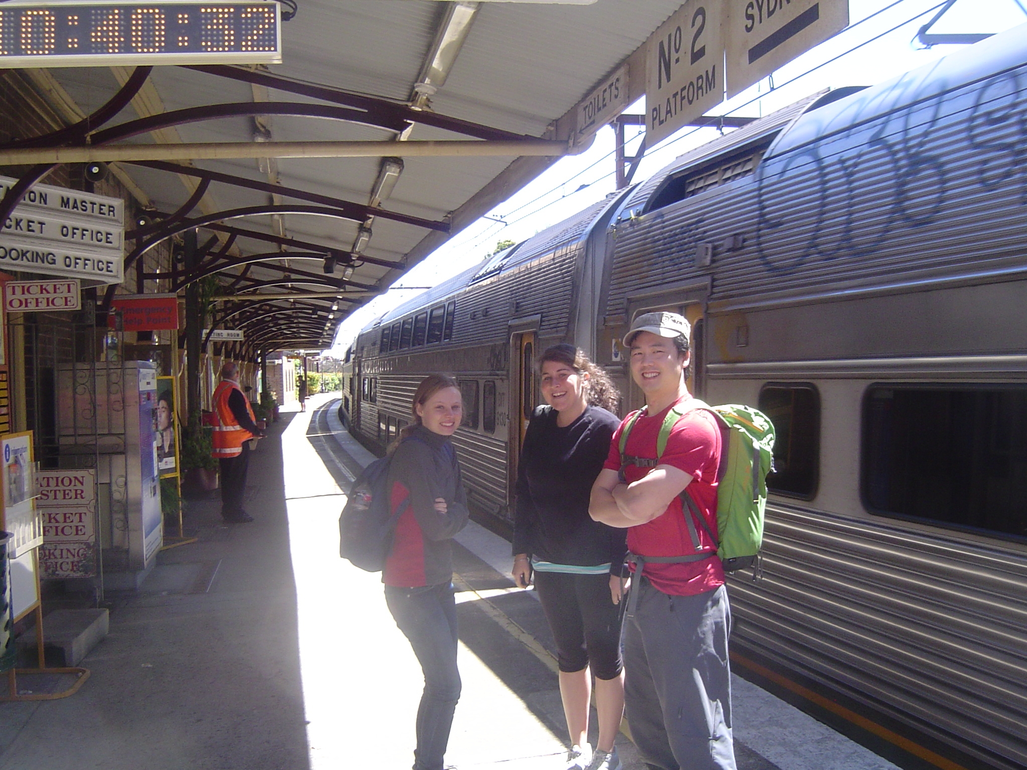
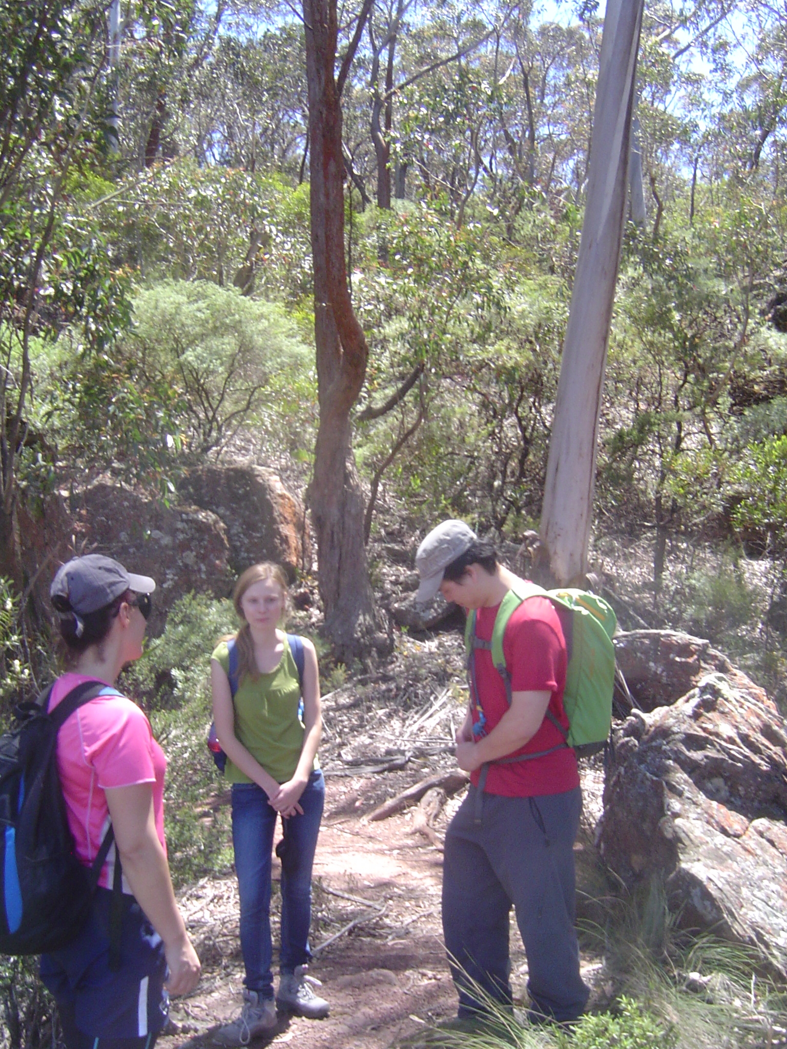
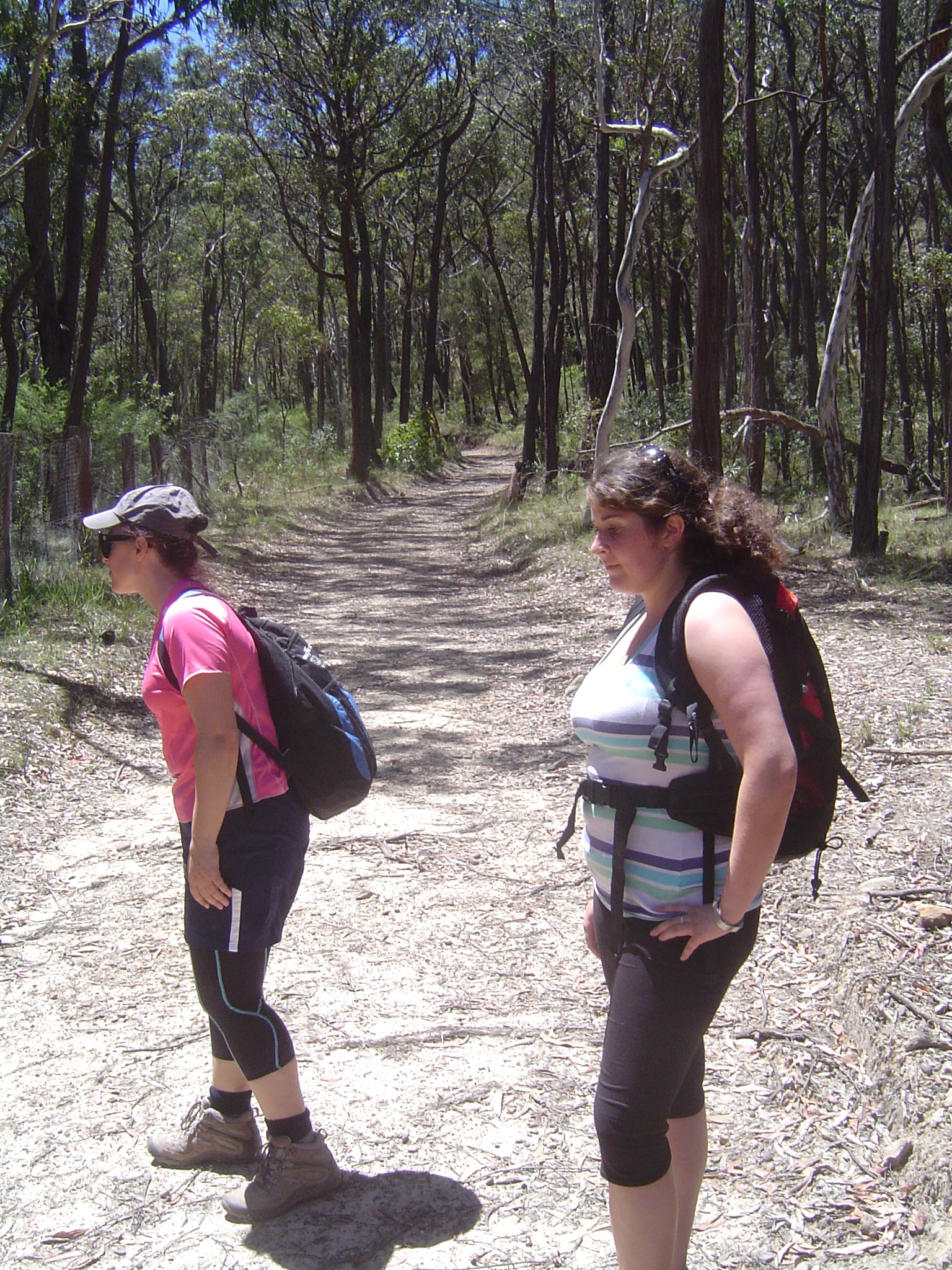
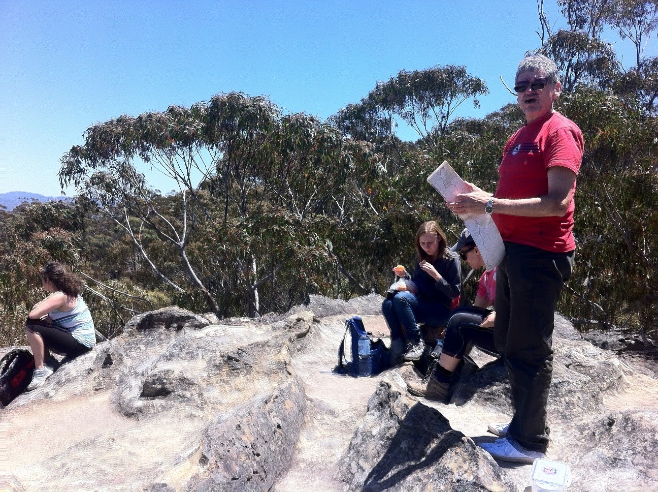
Walkers: Bruce (leader), Linda, Mathilde, Claire, Marta, Ken.
This trip was planned to give both Claire and Marta a last walk before they returned to Europe.
It was also Armistice day in France, and Poland’s Independence Day (for Marta).
It was also notable for its con-incidences with the date (11/11) and that a short trip turned into a long one. Read on.
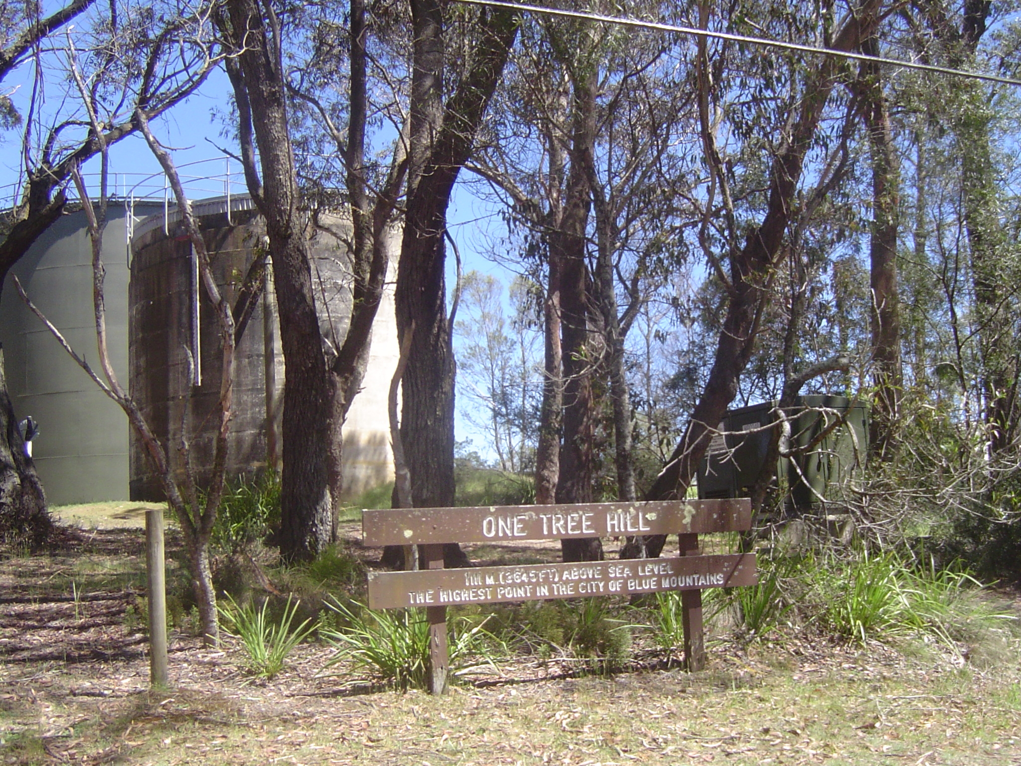
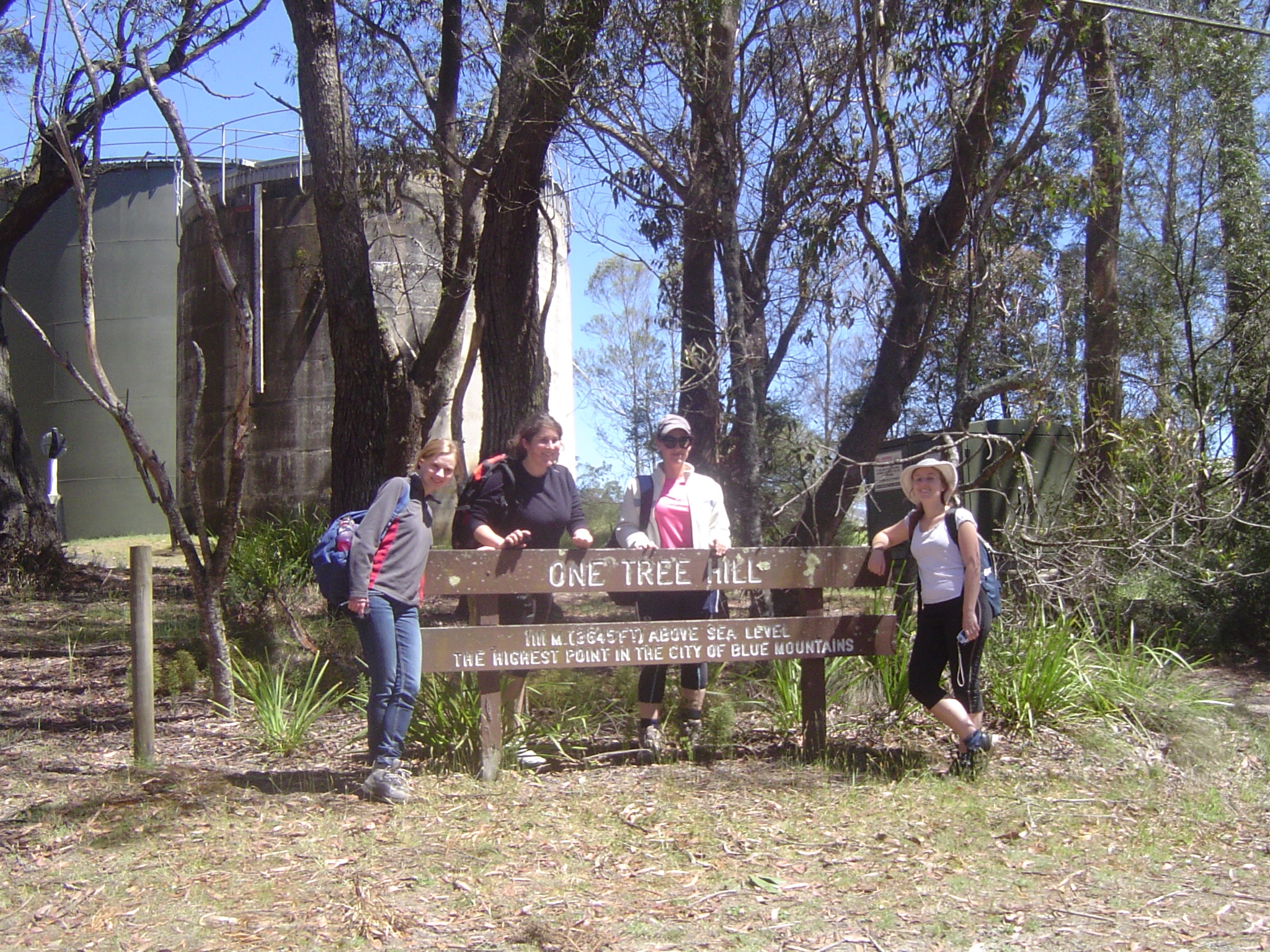
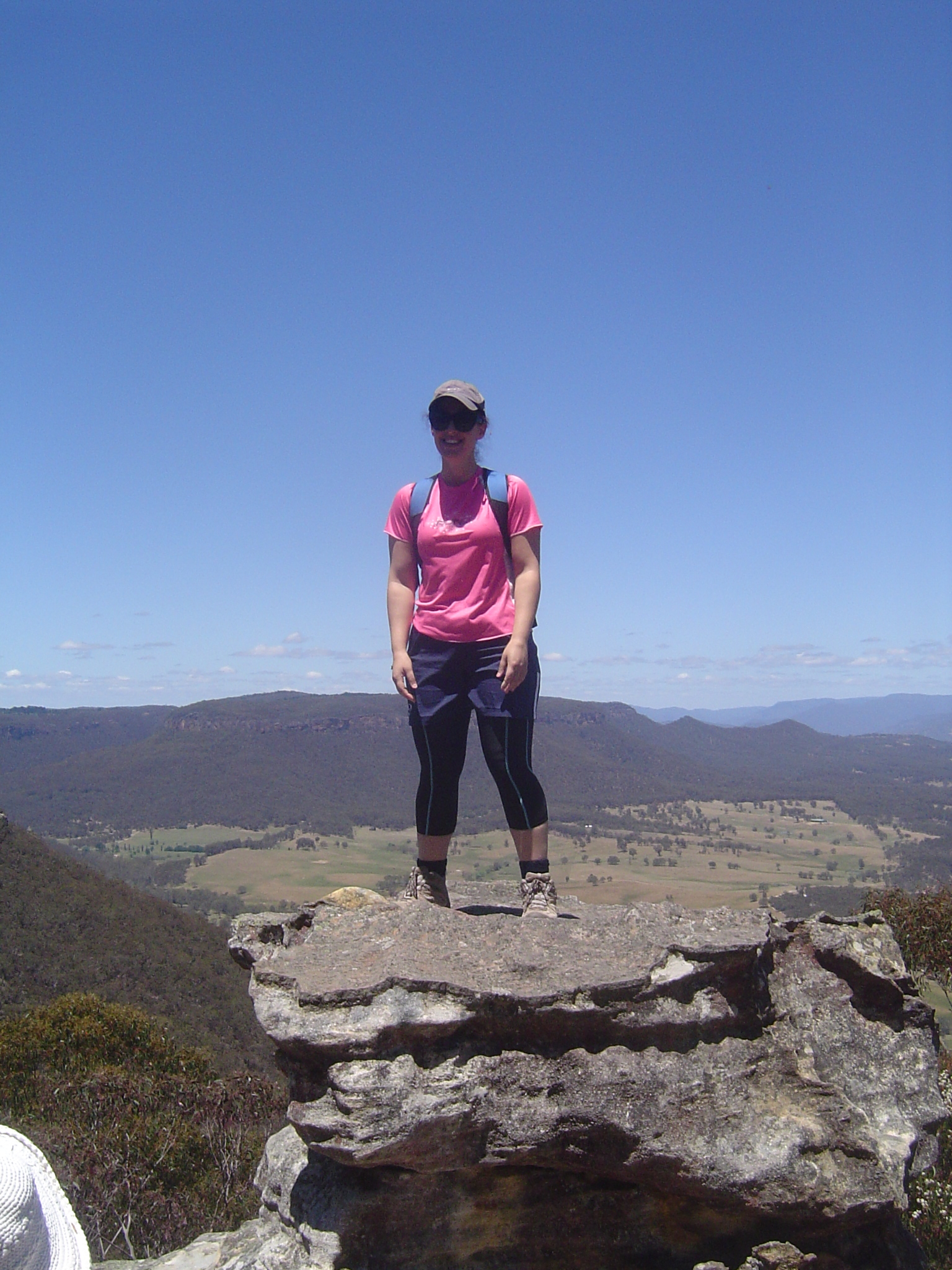
After collecting participants along the way, we all arrived at Mt Victoria Station, and set off for One Tree Hill, the highest point in the City of Blue Mountains (topped by a water reservoir!). So at 11am on 11/11 we reached elevation 1111 metres. And that wasn’t the only coincidence; my camera allocated the number 01918 to the first pic of the series of this walk.
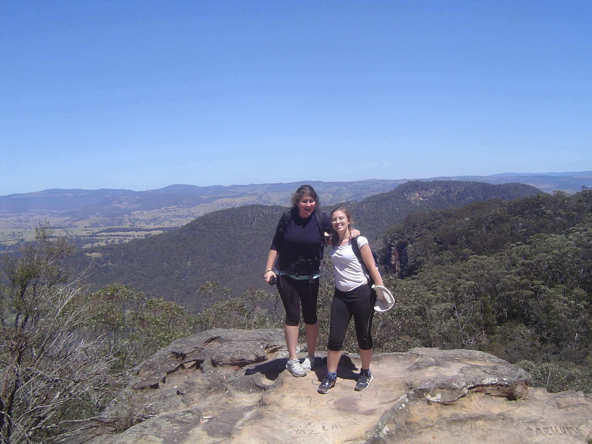
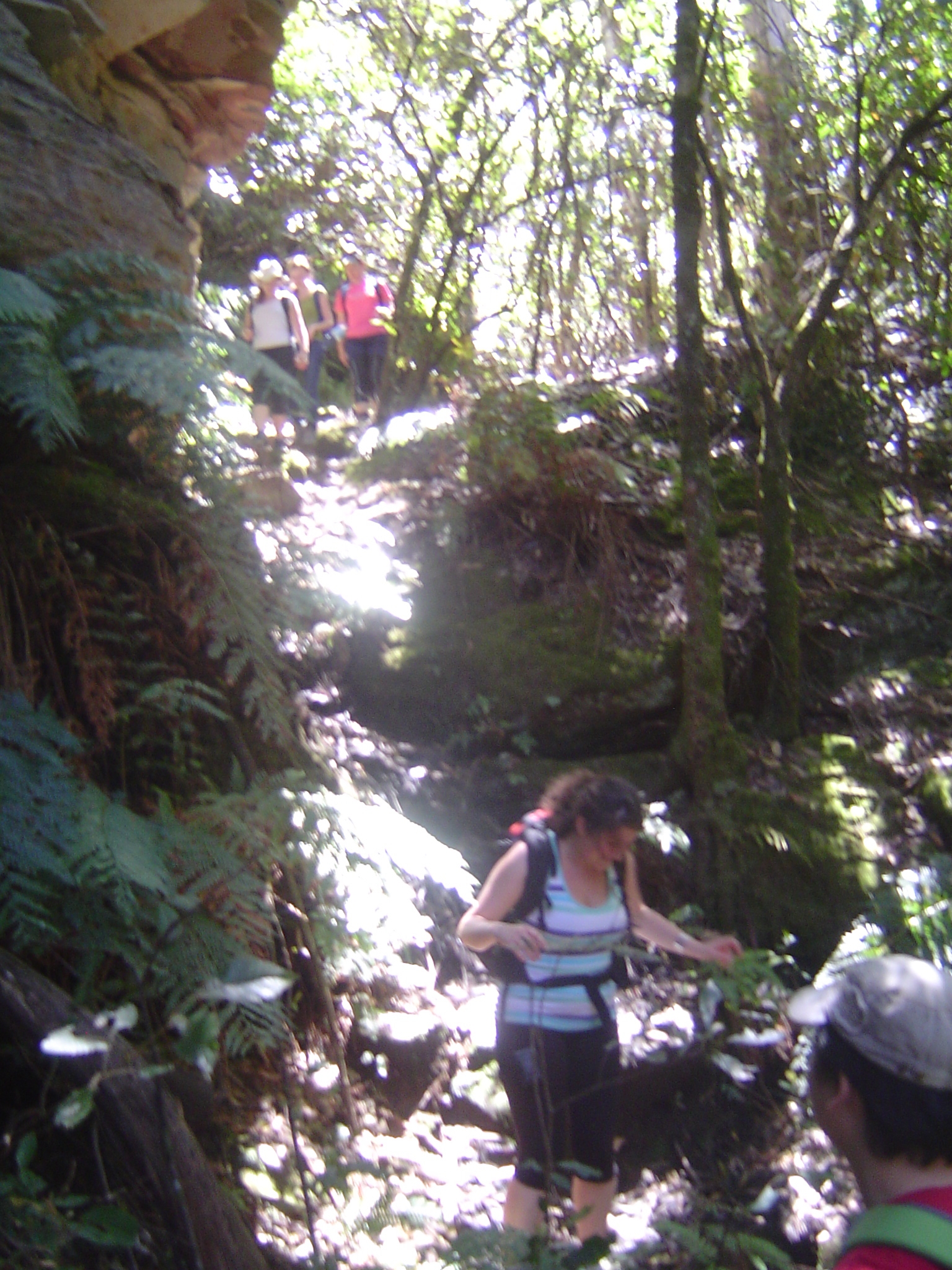
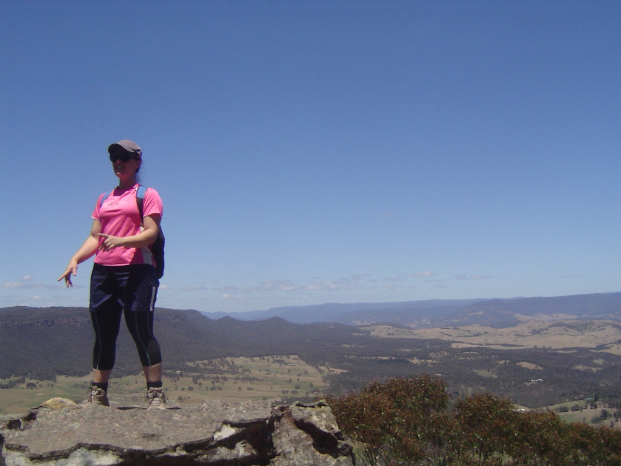
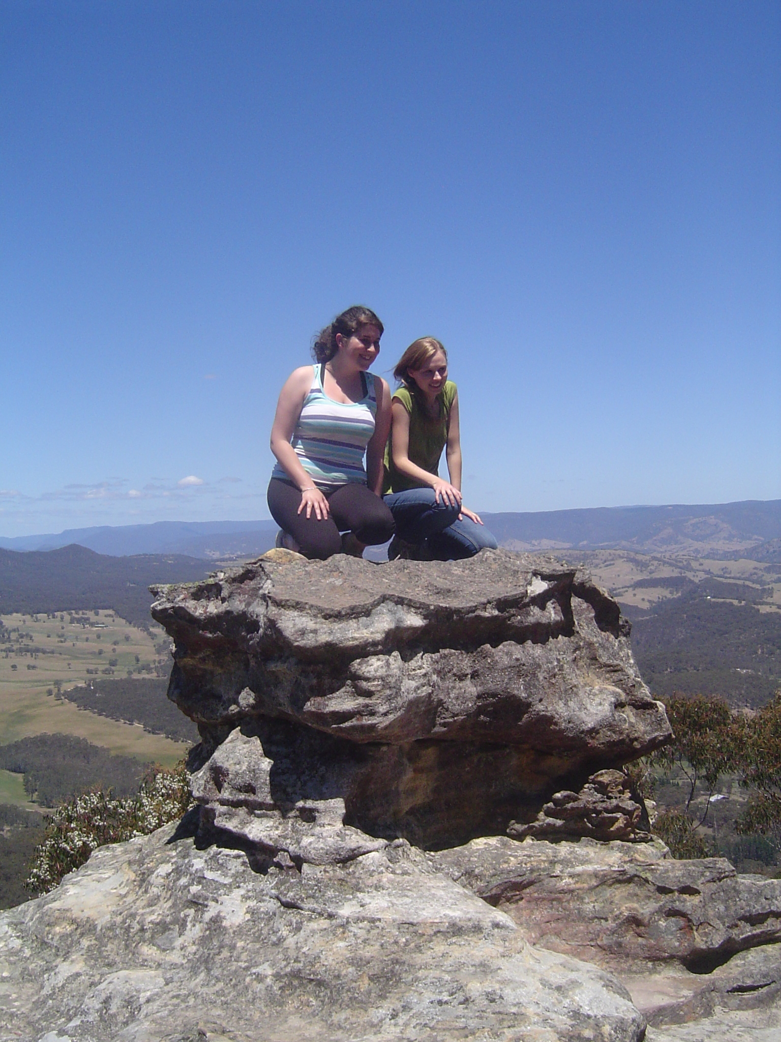
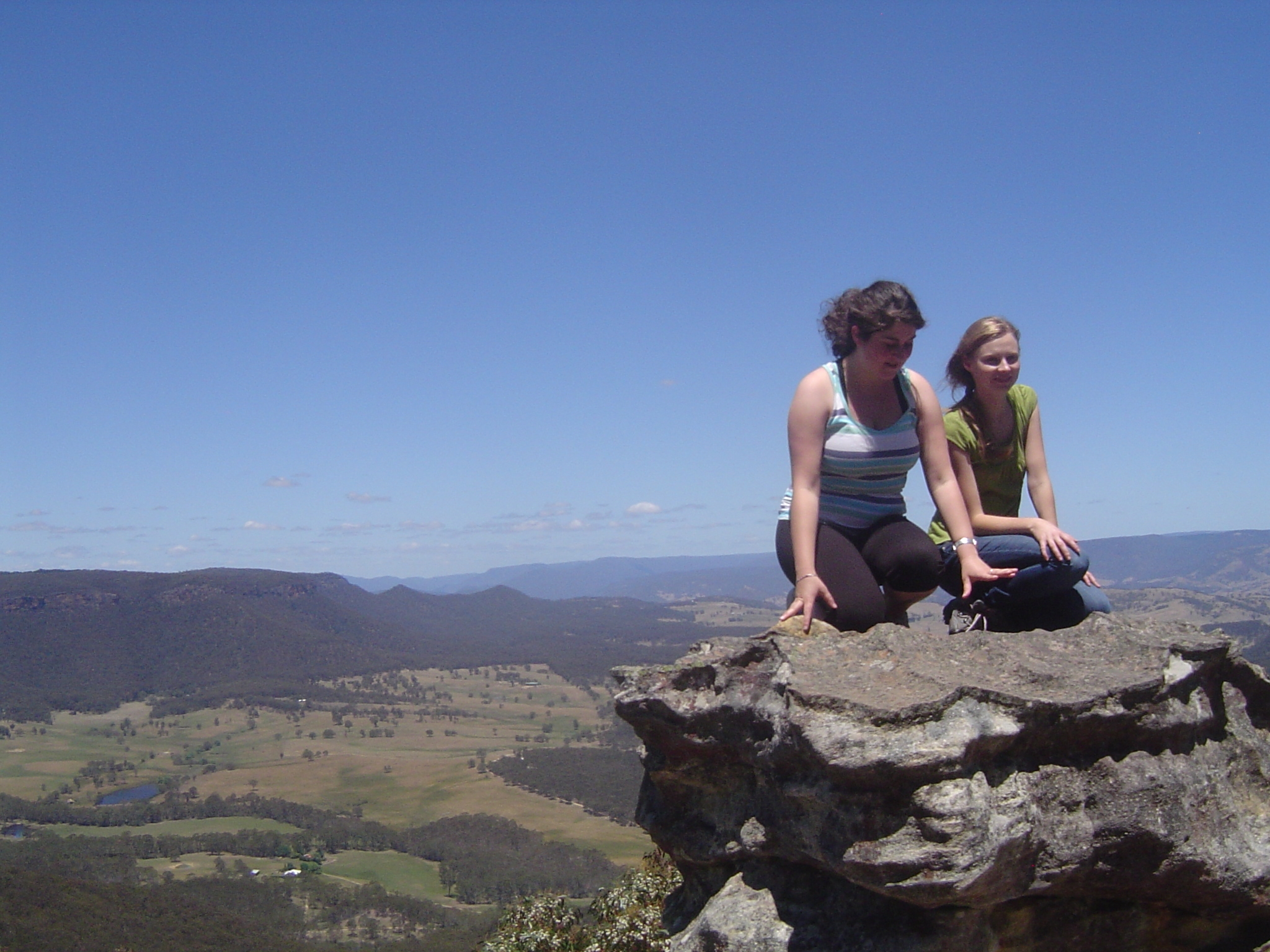
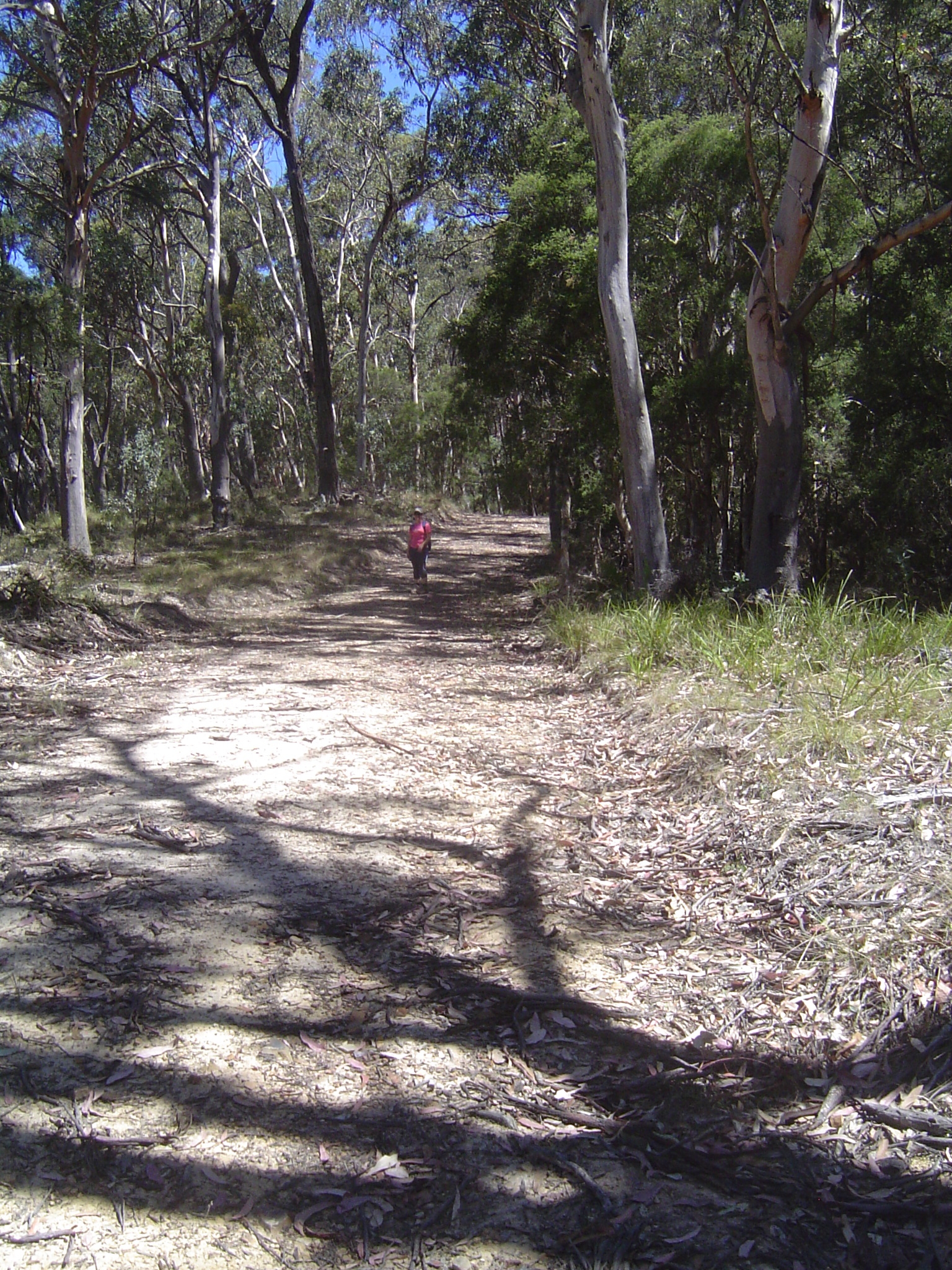
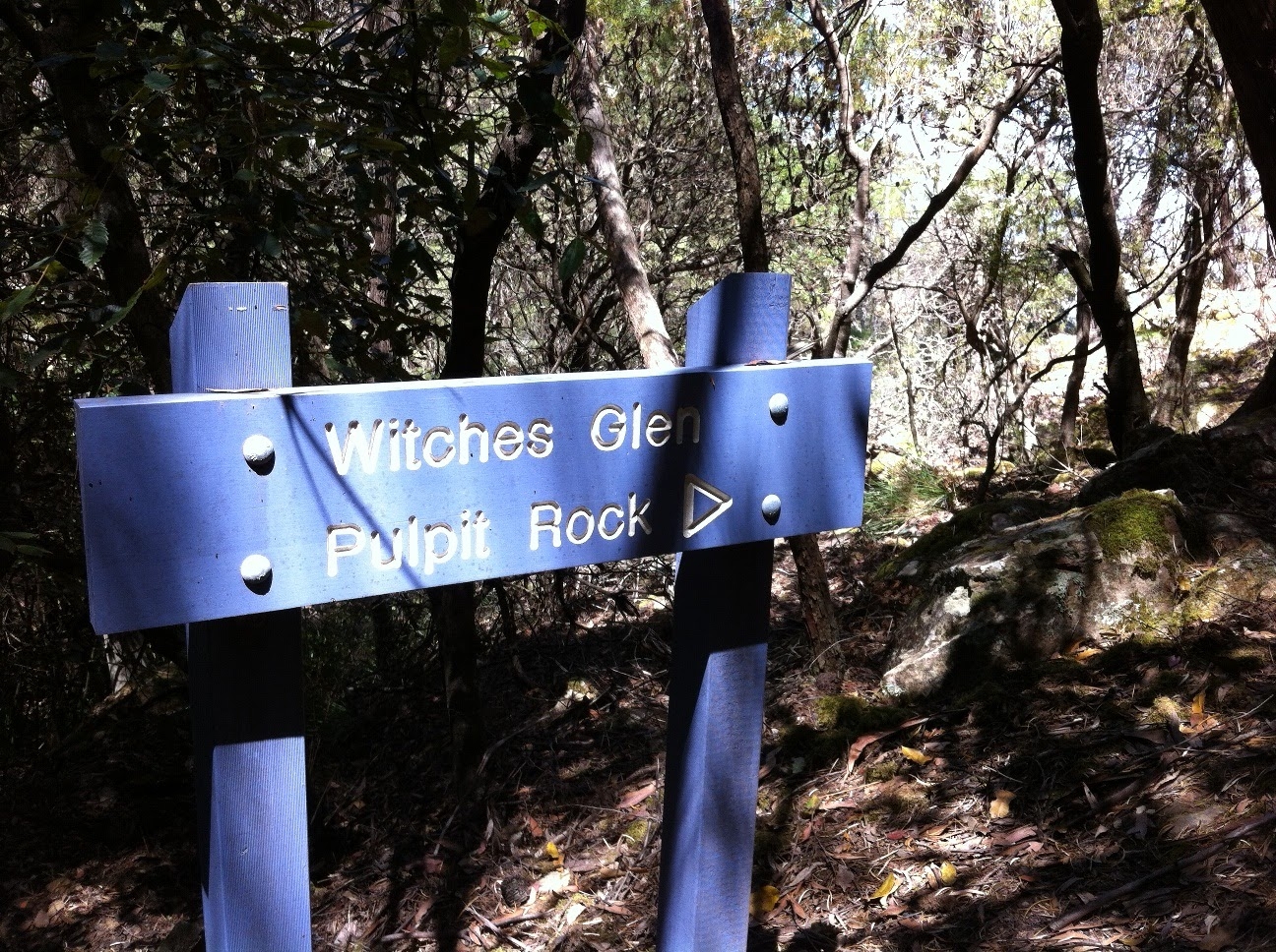
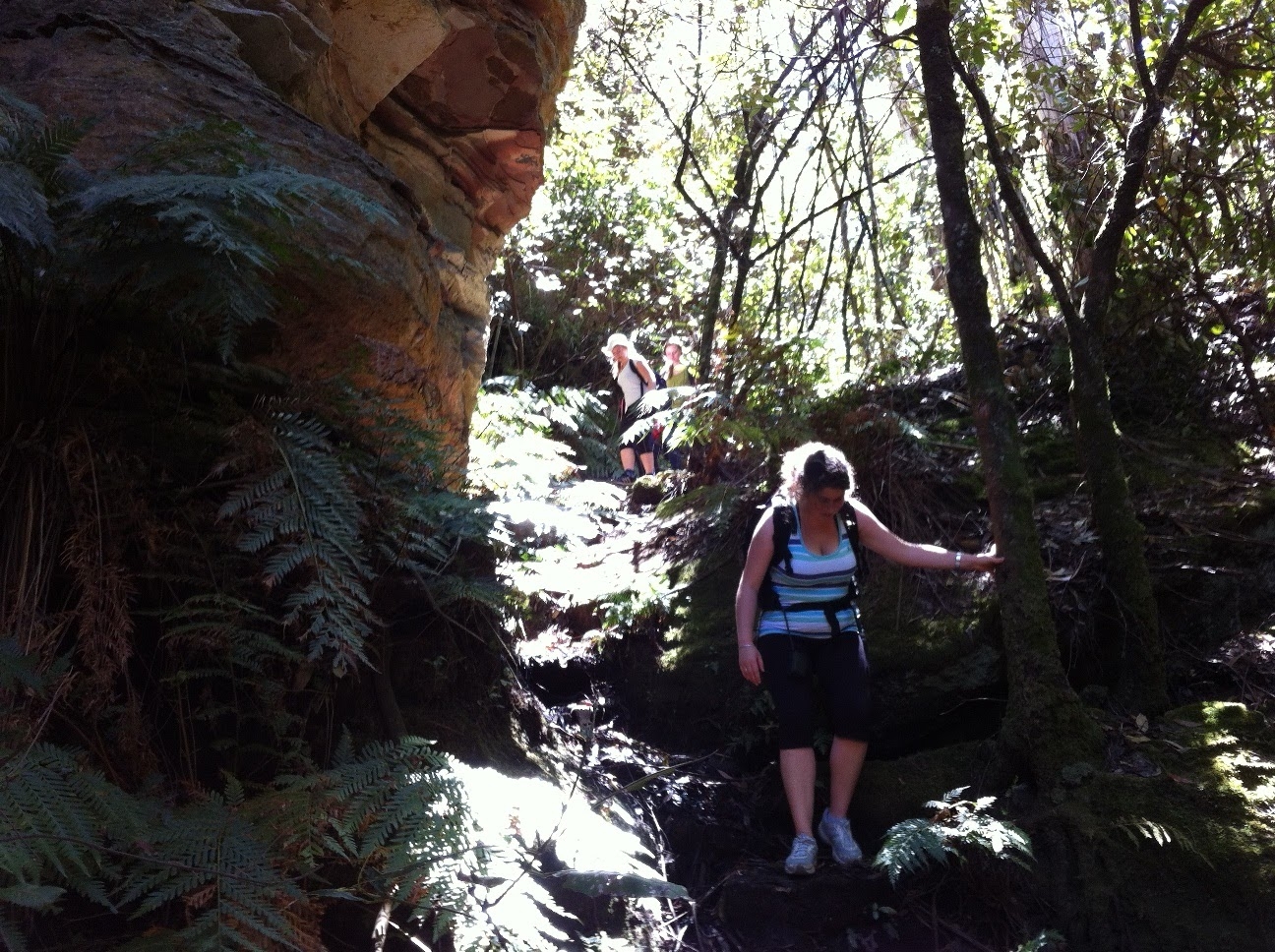
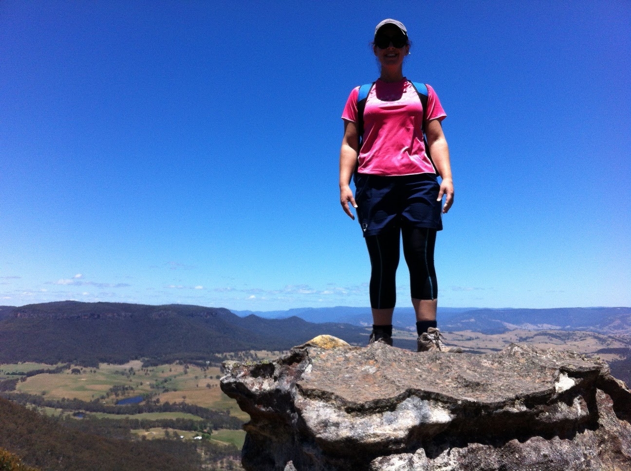
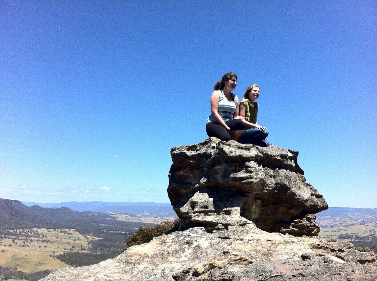
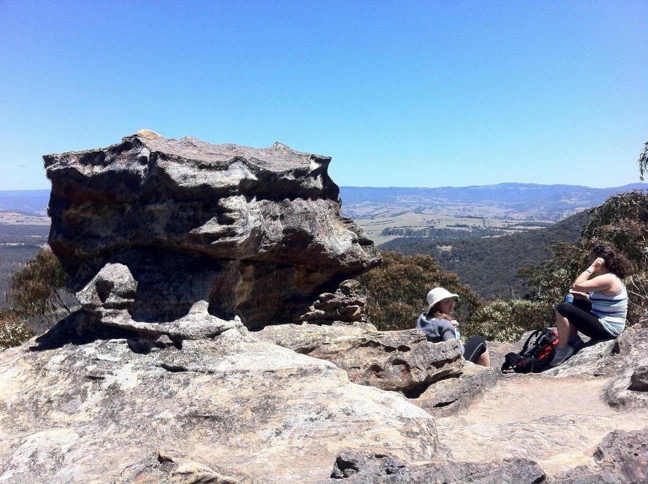
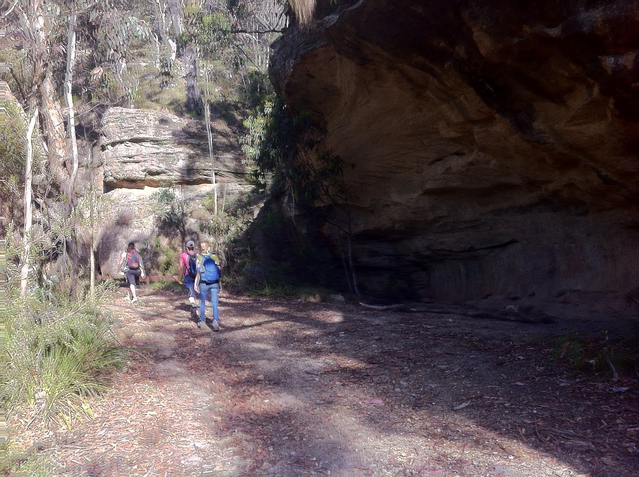
Then it was on to Mt Piddington and the view over Kanimbla Valley. From there, we continued along the track to Pulpit Rock via Witch’s Glen, which led us on to Bushrangers Cave. We continued on past the Cave along a trck which abruptly stopped, and then it was a bush bash up to the road leading to Pulpit Rock; the bush bash was a sign of things to come.
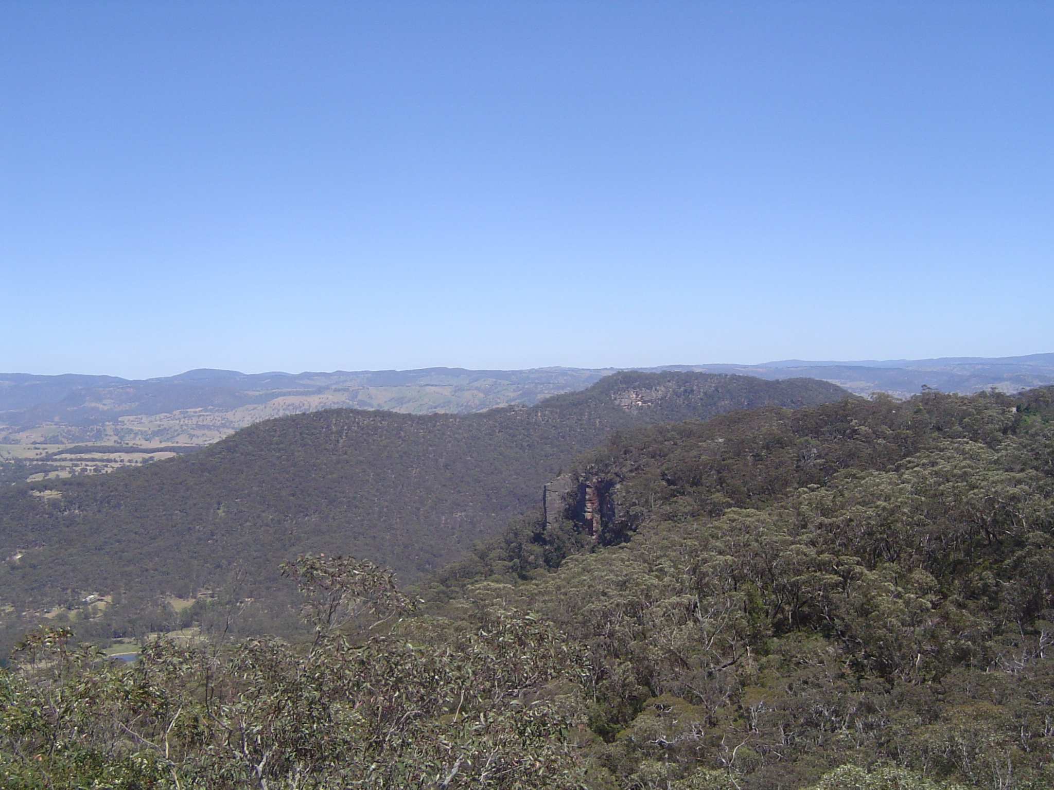
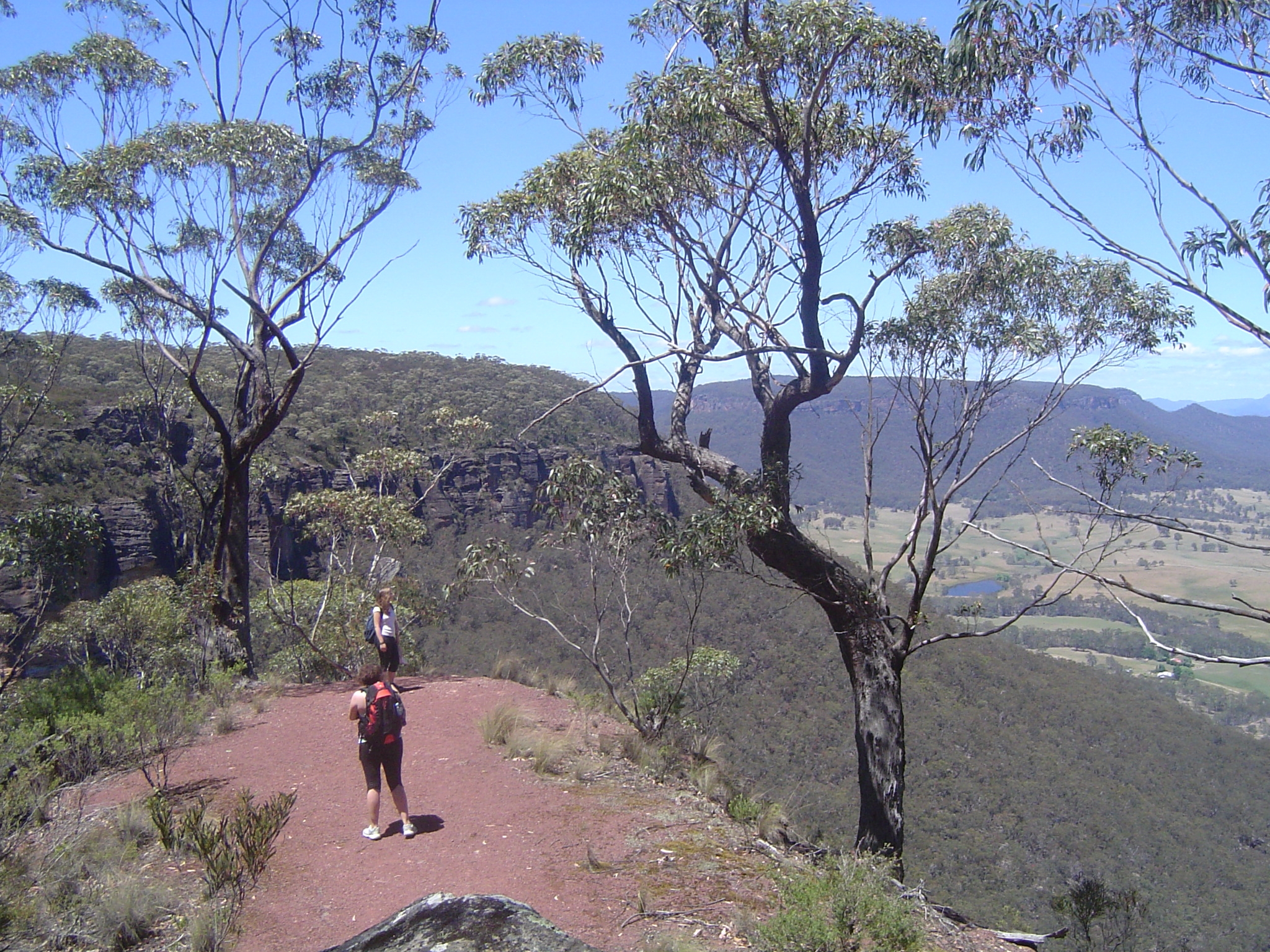
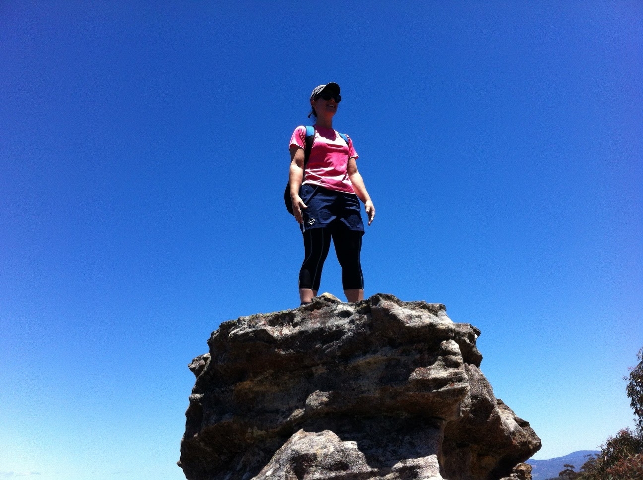
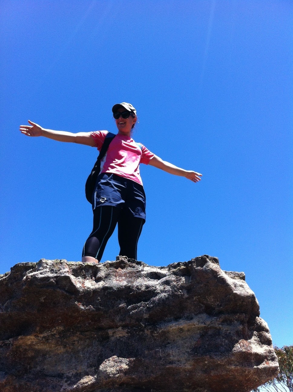
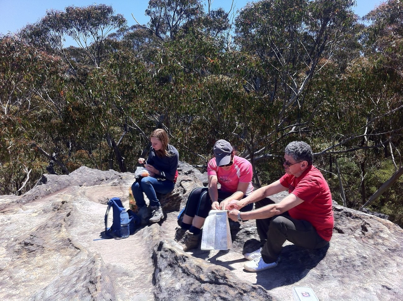
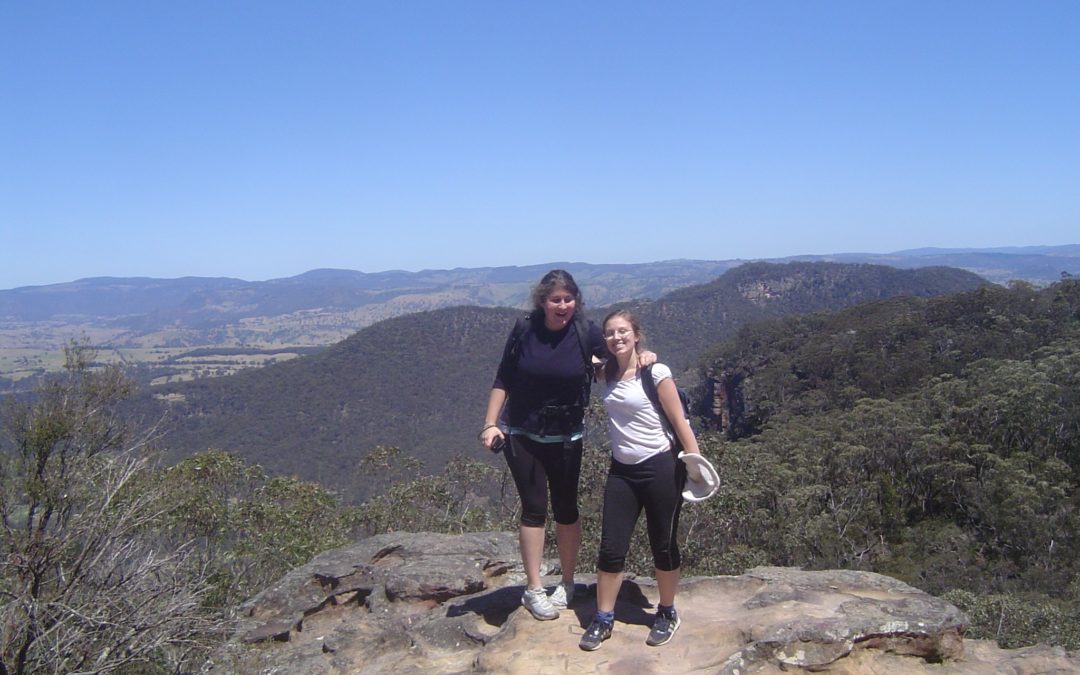
At Pulpit Rock we had lunch and admired the view which extends as far a Hampton and Kanangra Walls to the south. Then it was off down the “Little Zig-zag track” to its junction with a rather vague track, and the Reinits pass, which lead back to Mt Piddington. I opted for the vague track which according to the topo map led down and cross country to a fire trail leading back to the Highway. This track was hard to follow in some places but we eventually reached the fire trail.
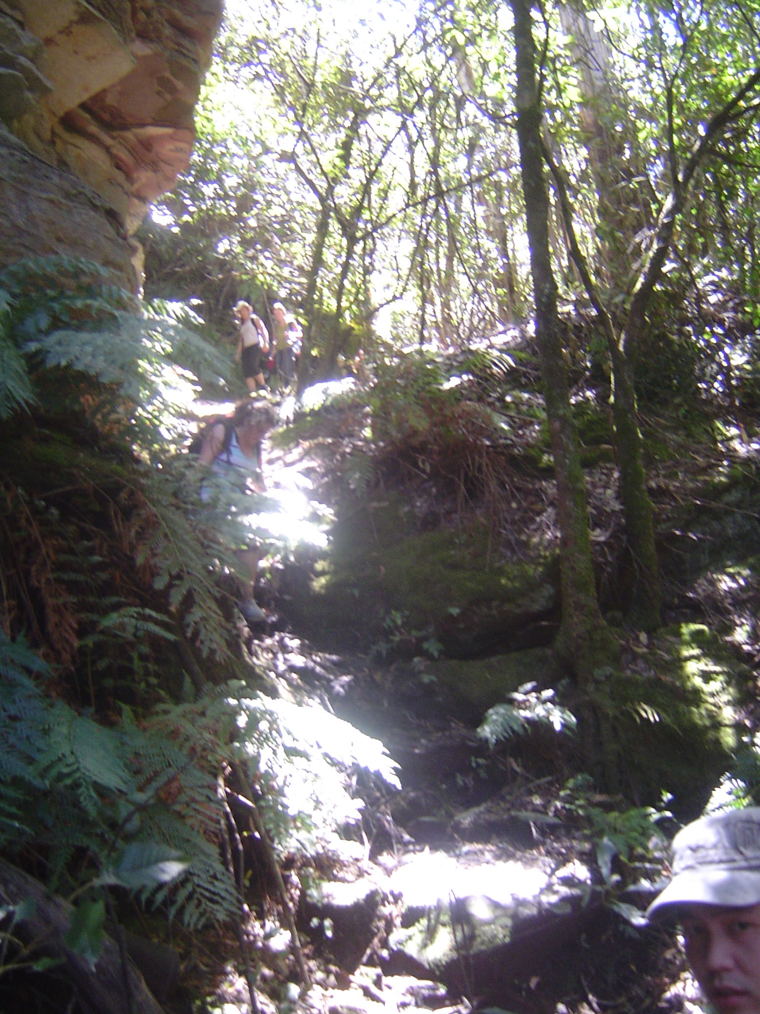
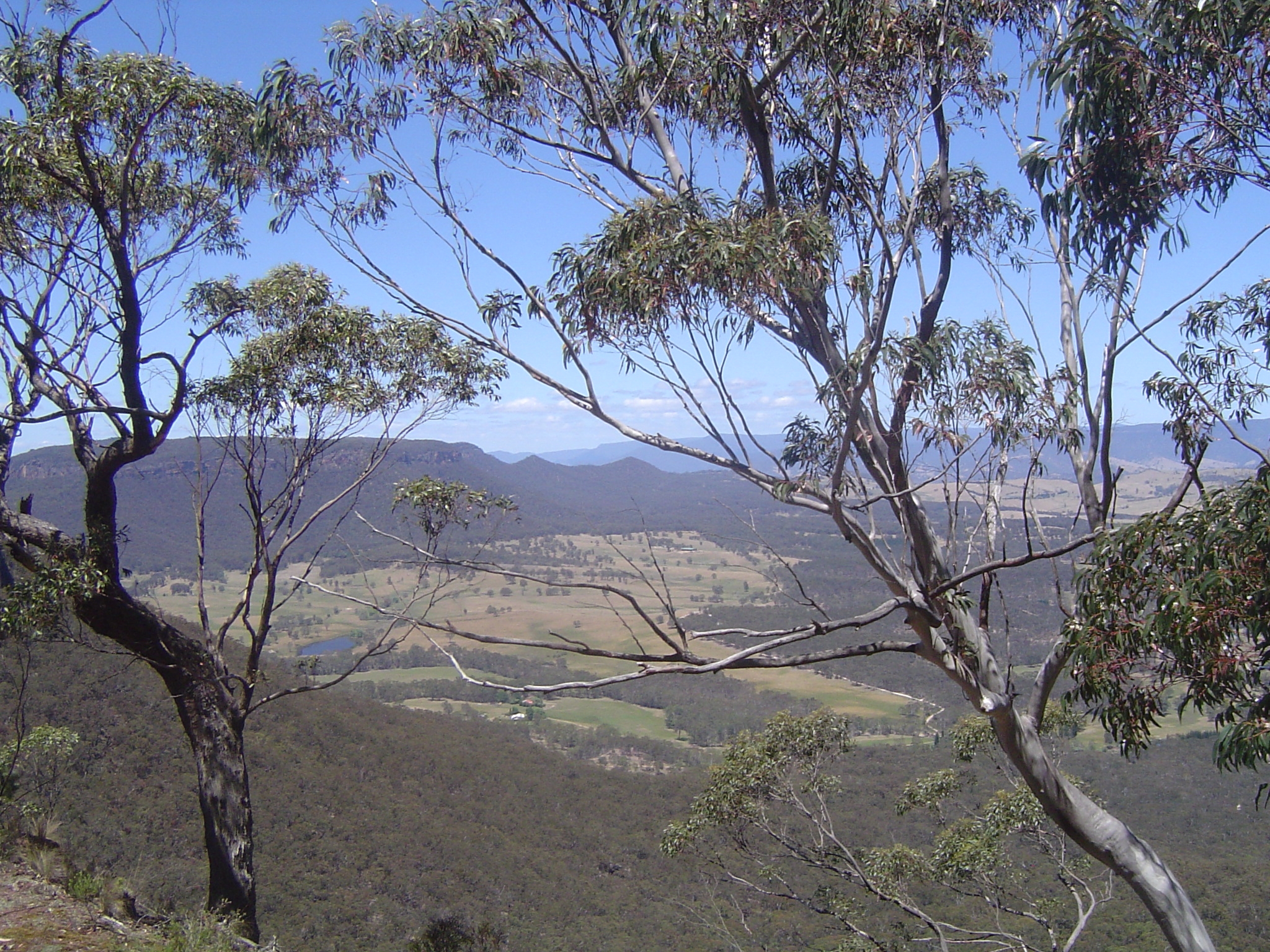
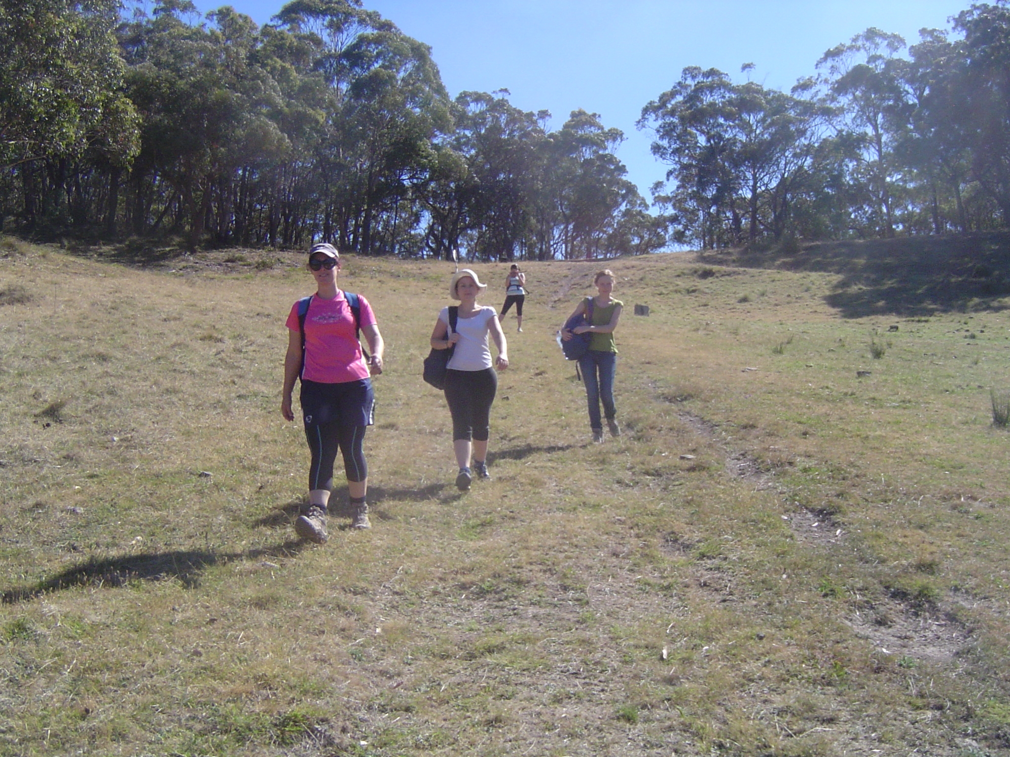
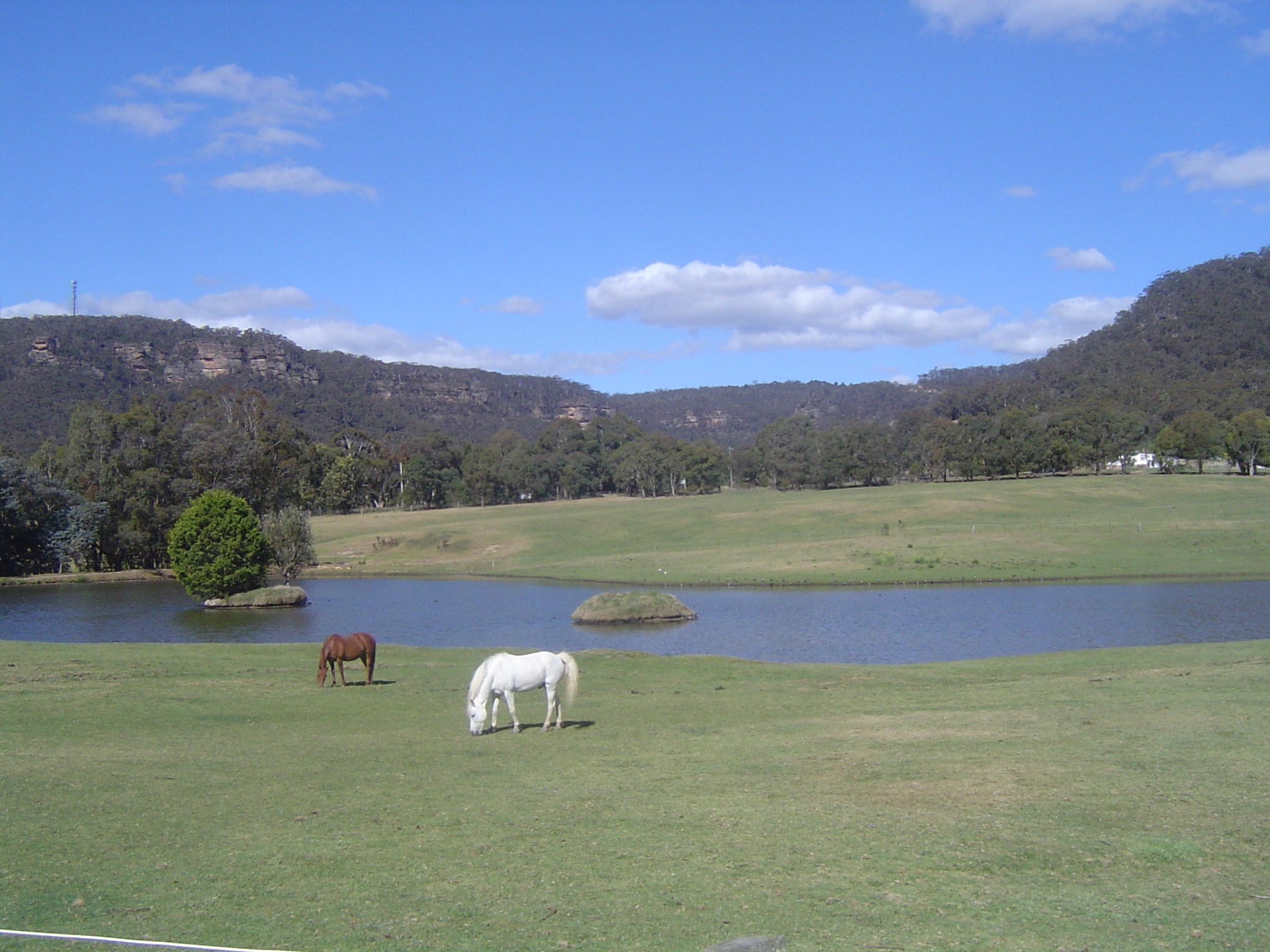
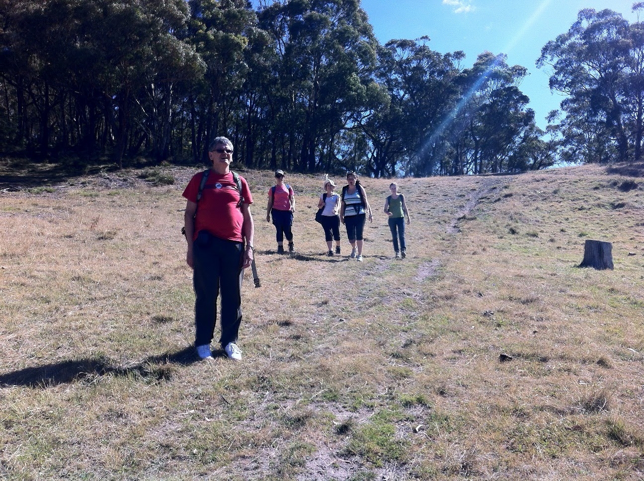
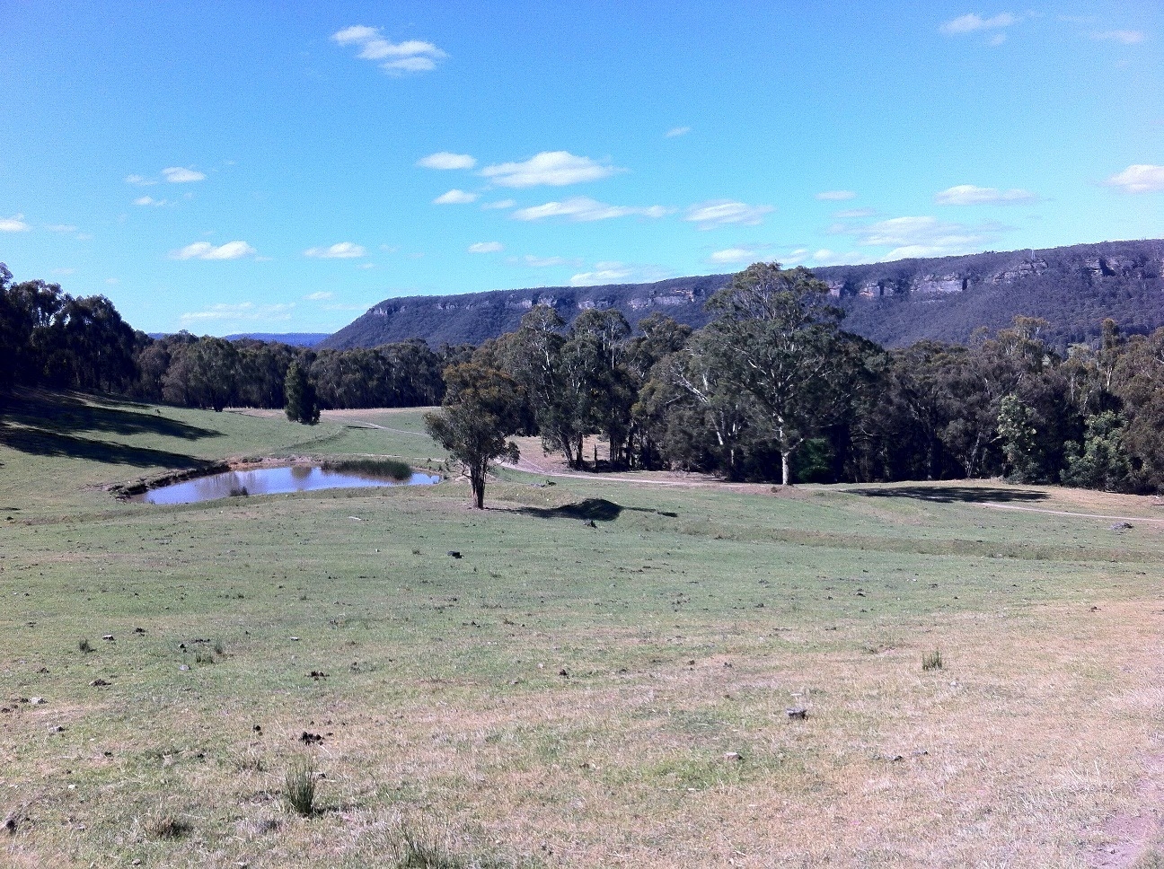
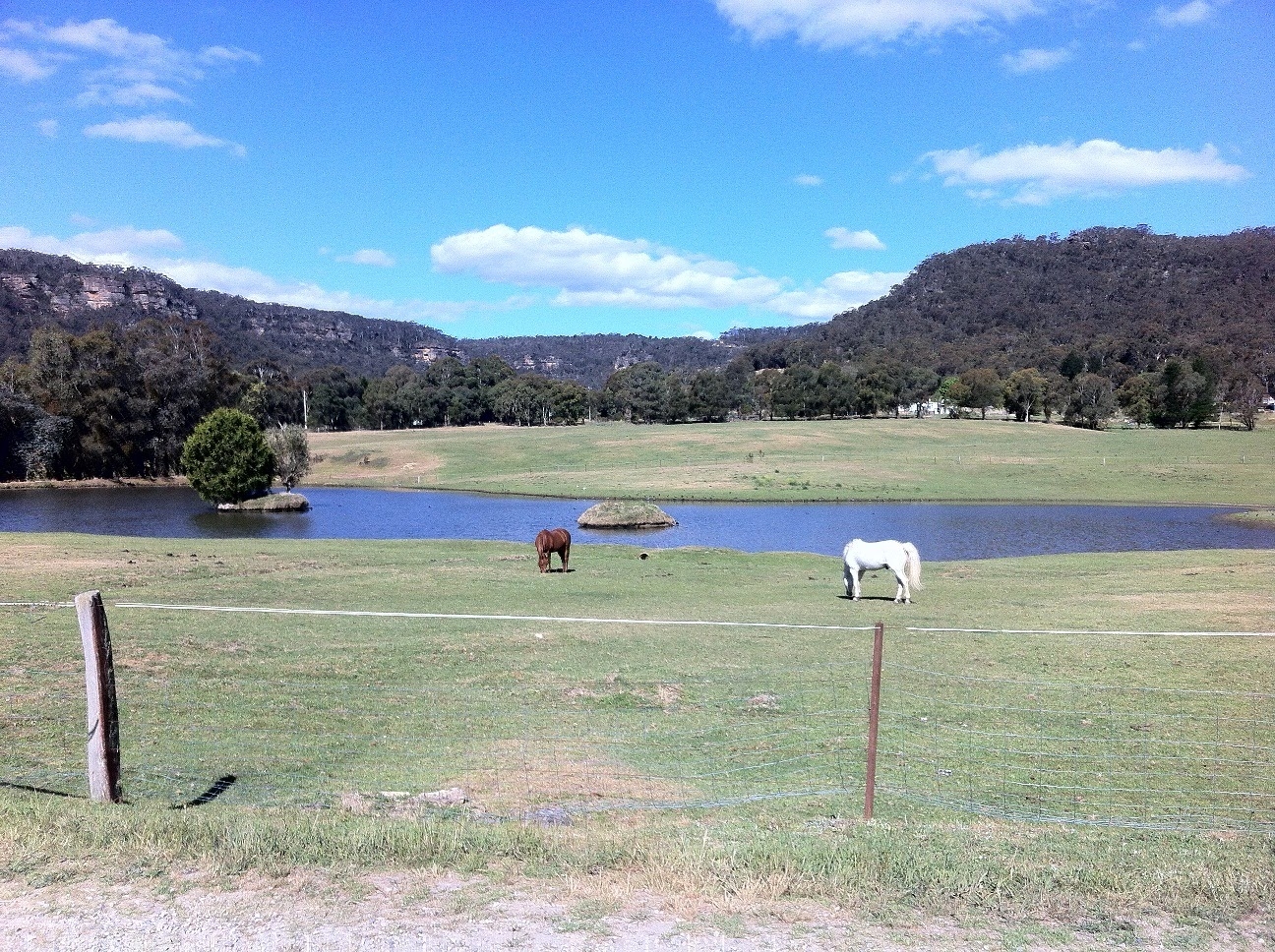
Then it was gradually uphill in the direction of the highway and all went smoothly for quite a while. Then we were faced with a choice of going on a track which looked level and appeared to head into Wilson’s Gully, or going more-or less straight ahead and up hill, which seemed the right direction. Alas, it wasn’t! It wasn’t too long before the track levelled off where according to the Topo it shouldn’t have. But, it was a matter of press on regardless, and we ended up with a lot of meanderings cross country, looking out for tracks mentioned in other walk guides, but appeared to be phantom. Meanwhile we had great views, and we spotted a kangaroo which hopped off uphill through the woods when it saw us. To cut a long story short, we eventually arrived at civilisation in the form of a group of hobby farms. In the meantime . The sight of the hobby farms cheered people up as there were horses to photograph, and lots of ducks (none of which asked for money).
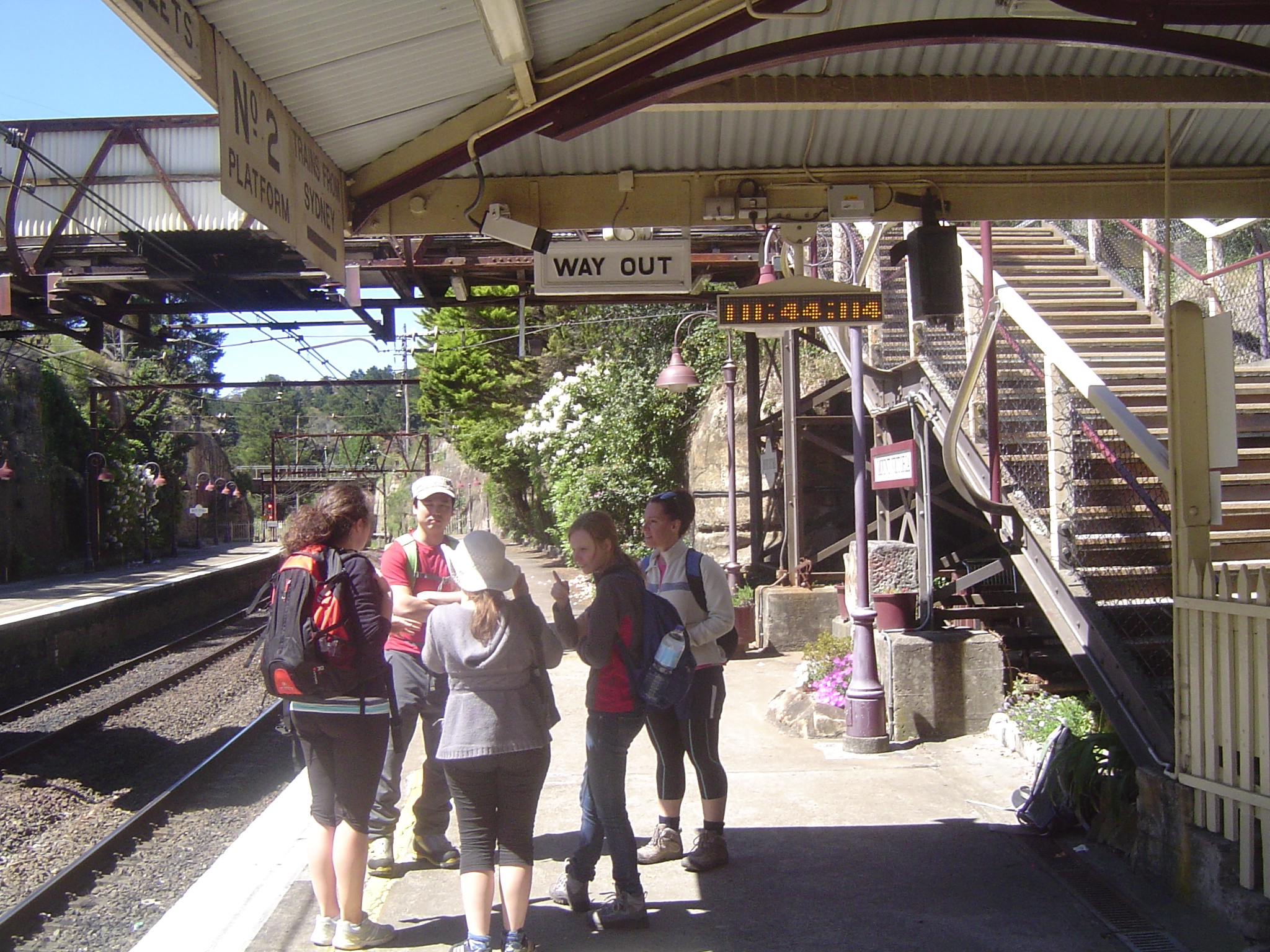
From the farms it was a half-km road bash along the Western Highway until reaching the remnant of Cox’s Pass of 1823 (wrongly shown on some maps as the start of Berghofers pass), which cut off a fair bit of Victoria Pass before rejoining it for 100m before the start of the real Berhofer’s Pass. We followed this pass to its junction with Mt York Road, and then it was back to the Railway at Mt Victoria with a 10 minute wait for the train (good timing). We had ended up walking a few km more than intended, but at least it wasn’t a boring walk; I ws worried originally it might have been, given that most walks in the area seem to be quite short tourist walks. Anyway, I did originally want the walk to end at a cafe, but as we got back to Mount Vic after the local cafes had closed, I waited until reaching Strathfield and myself, Ken and Claire used the time between trains to go to the local Gloria Jeans.
It was a memorable trip for all.
Bruce Stafford
Photos (last 7 are Ken’s): https://picasaweb.google.com/118404097080236061977/MtVictoriaNovember112012#5810837189516598914